Log in
All resources
Create a design
38,713 Free Artworks of Map
maps in the library of congress
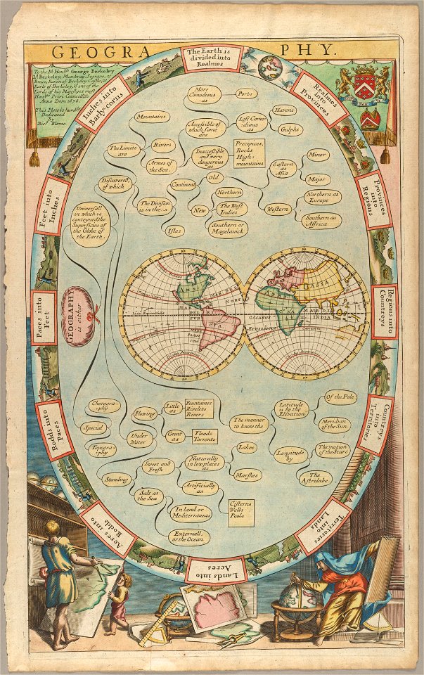
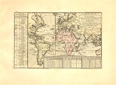
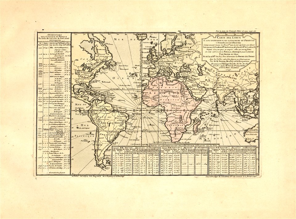
cartes et tables de la géographie physique ou naturelle
maps made in the 17th century
atlantis magni tomus primus (biblioteca comunale di trento)
files from the bodleian libraries
frederick de wit
atlas de wit 1698
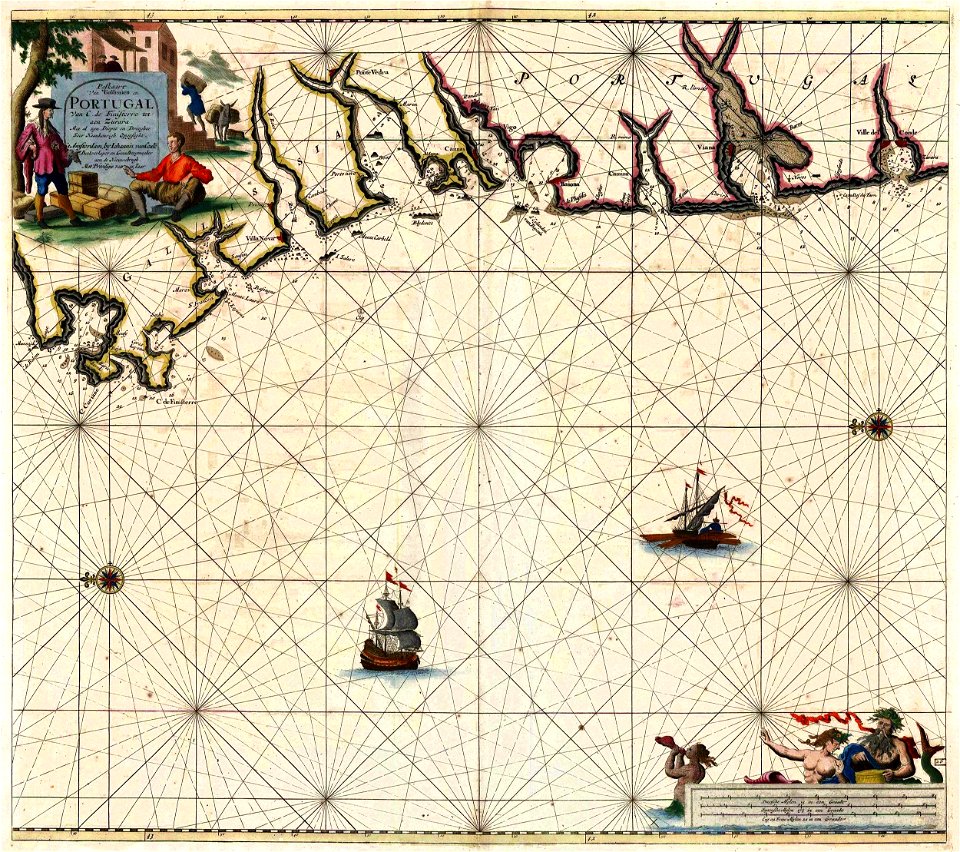
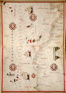
western europe
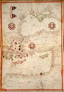
portolan atlas of the mediterranean sea
and the northwest coast of africa
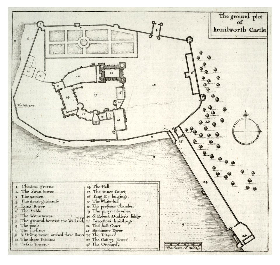
kenilworth castle in art
kenilworth castle
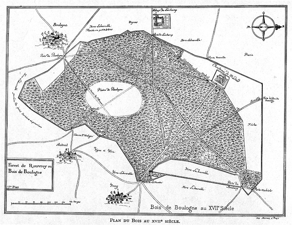
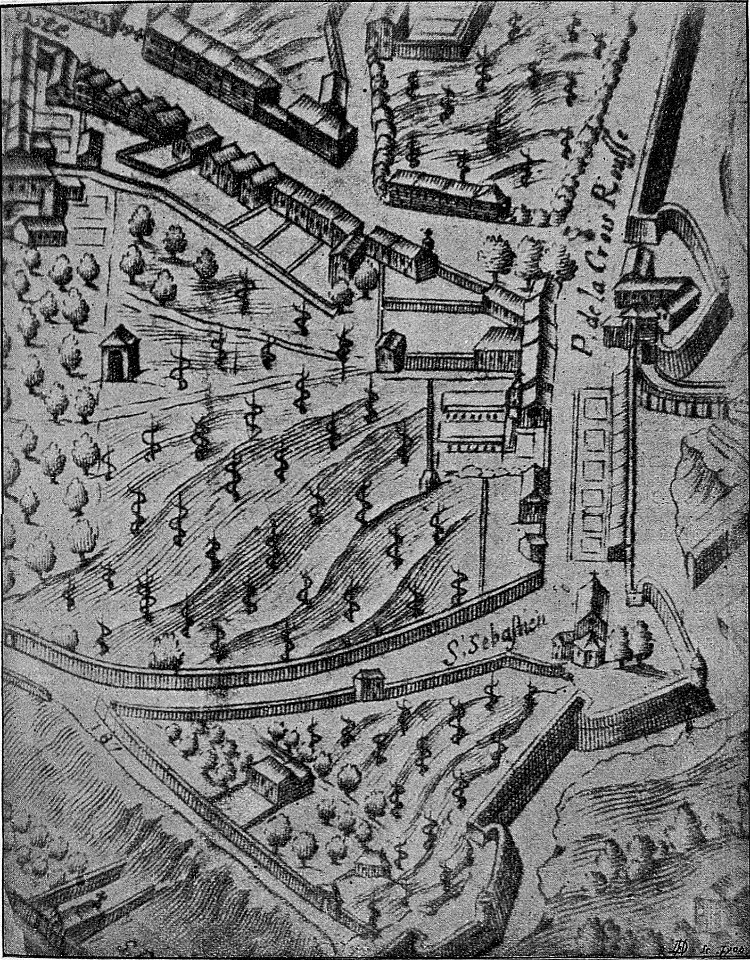
petite histoire du bois de boulogne
illustrations from h.corbel
john - president of the alpine club
piz languard
maps in the amsterdam museum
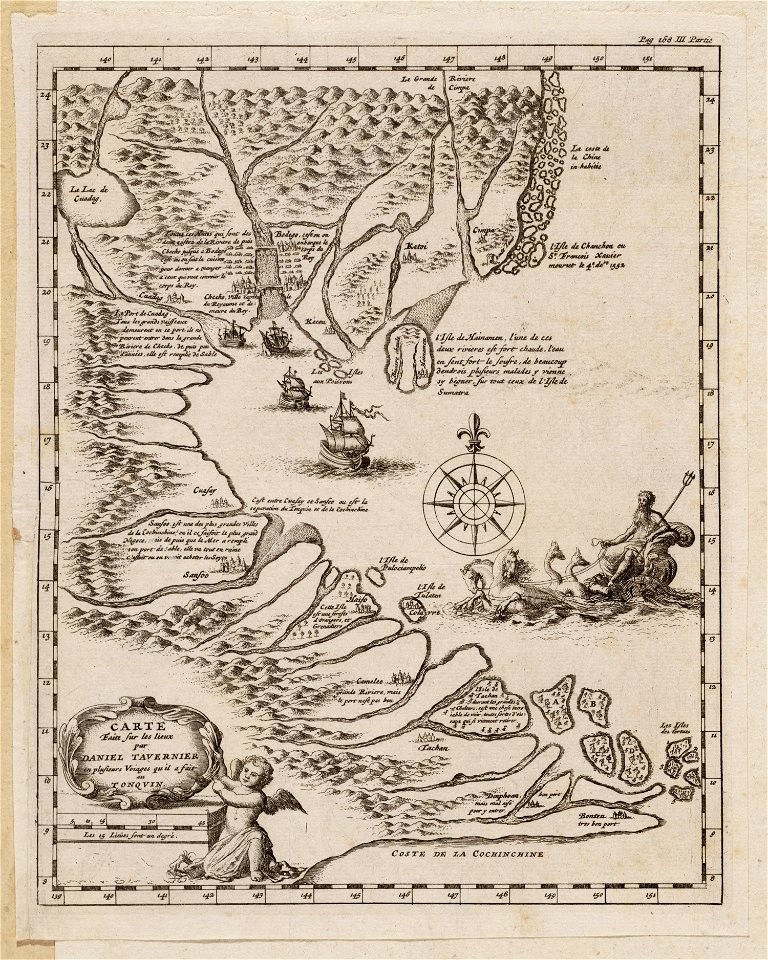
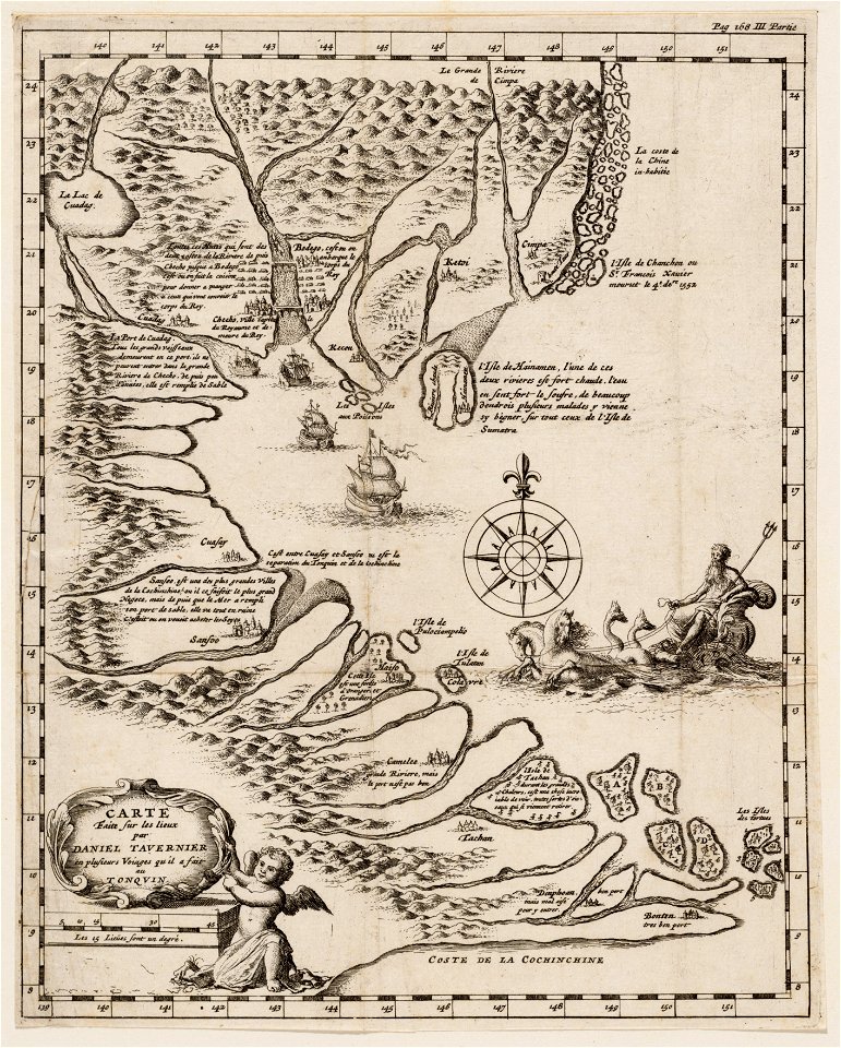
daniel tavernier
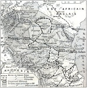
african theatre maps of world war i
no 3908 illustrations
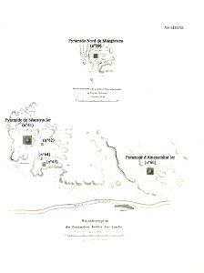
lepsius list of pyramids
pyramid of amenemhat i
maps made in the 17th century
nicolaes visscher ii
maps made in the 17th century
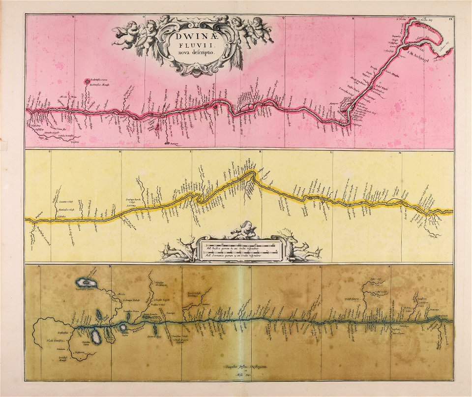
severnaya dvina river
old maps of italy
olfert dapper
files from the bodleian libraries
napoleonic wars
schauplatz der fünf theile der welt
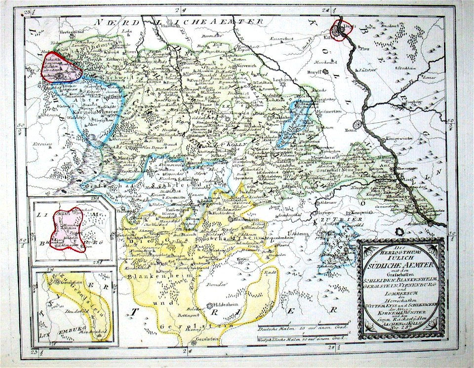
old maps of the duchy of jülich
travels in various countries of europe
asia and africa
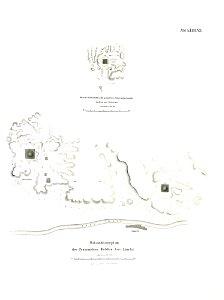
section schwarzenberg (1843)
oberreit
atlas de wit 1698
frederick de wit
frederick marryat
printing
walter kaudern expedition to celebes
walter kaudern
drawings by leonardo da vinci in the royal collection of the united kingdom
beschreibung der reise von konstanz nach jerusalem
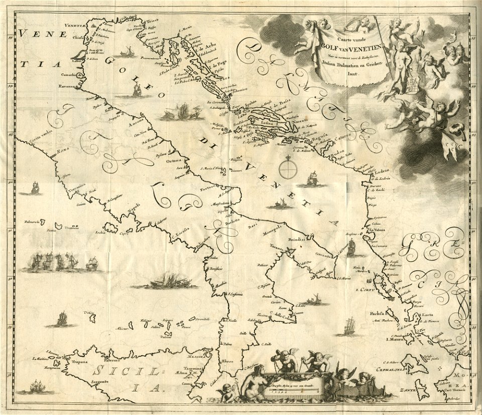
old maps of corfu
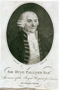
charts and maps of the royal museums greenwich
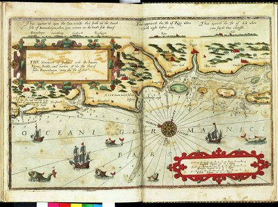
lucas janszoon waghenaer
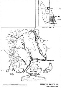
maps of islands of vanuatu
espiritu santo
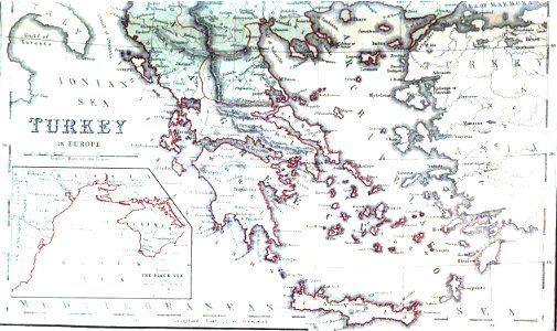
greece
italy
atlas de wit 1698
frederick de wit
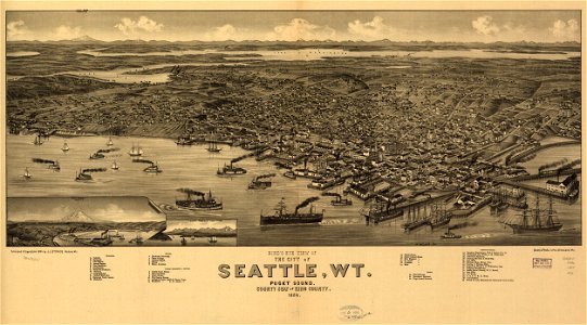
port townsend
washington
maps in the library of congress
1884
maps in the library of congress
1884
maps in the amsterdam museum
daniel tavernier
maps in the amsterdam museum
daniel tavernier
greece
italy
drawings by leonardo da vinci in the royal collection of the united kingdom
viage á constantinopla
old maps of malta
california
san diego
geographical illustrations by coronelli
old maps of the peloponnese
world's columbian exposition
newberry library
pages using map template with incorrect parameter
nieuwe hollandse scheeps-bouw (1695)
pages using map template with incorrect parameter
symbols of hoorn
charts and maps of the royal museums greenwich
pages using map template with incorrect parameter
nieuwe hollandse scheeps-bouw (1695)
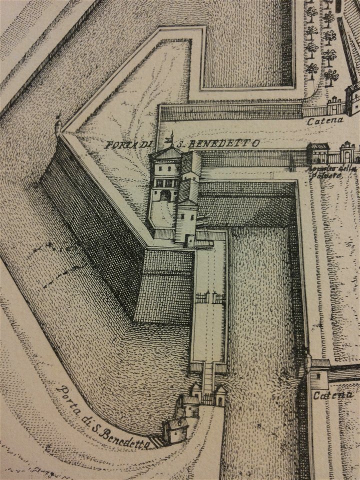
map of ferrara by andrea bolzoni
corso porta po (ferrara)
maps of voyages by christopher columbus
atlantic ocean
bridge of arts
castles in art
prints in the royal collection of the united kingdom
don juan de austria
atlantis magni tomus primus (biblioteca comunale di trento)
maps made in the 17th century
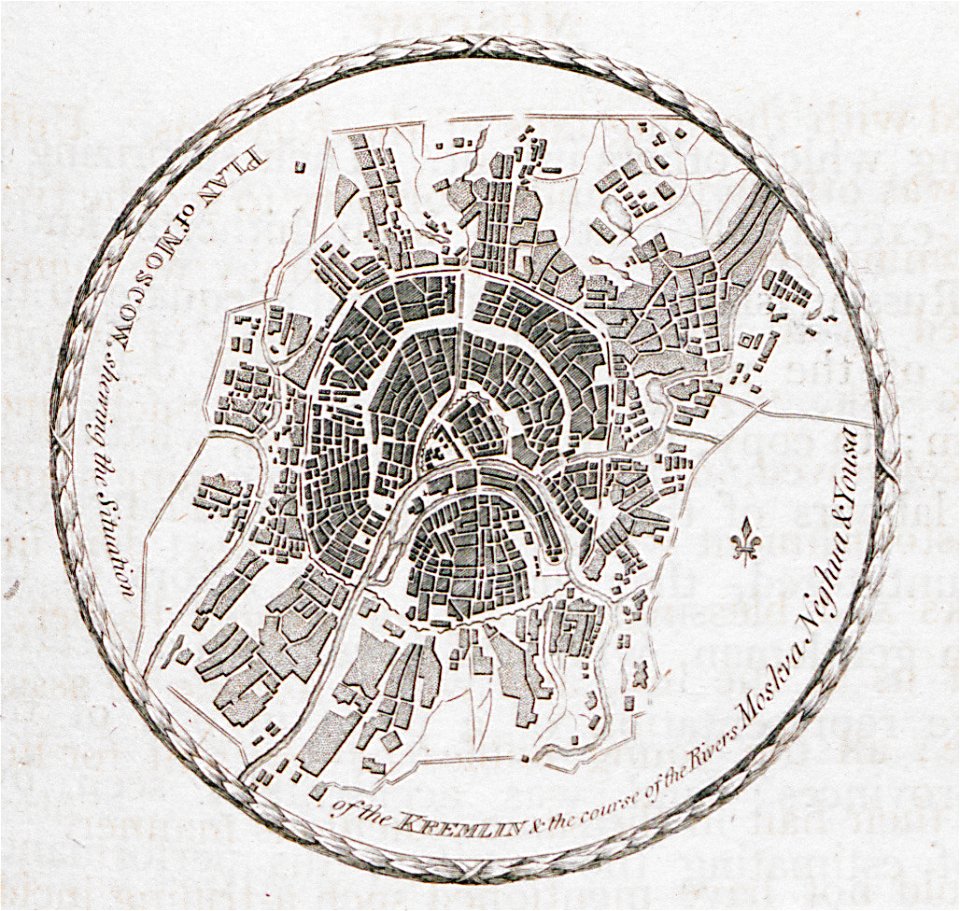
pictorial history of the russian war 1854-5-6 by george dodd
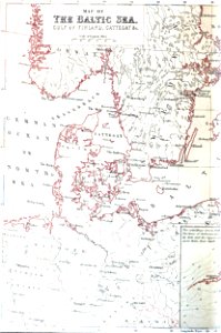
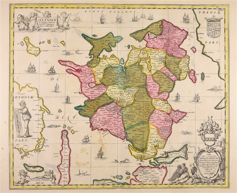
baltic sea
pyramid of amenemhat i
pyramid of senusret i
pulicat
1672
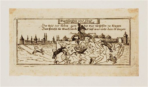
capture of wesel 1629
büderich (wesel)
old maps of amsterdam
frederick de wit
maps and topographical views by joris hoefnagel
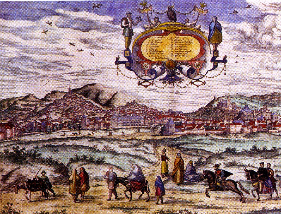
granada in art
atlantis magni tomus primus (biblioteca comunale di trento)
maps made in the 17th century
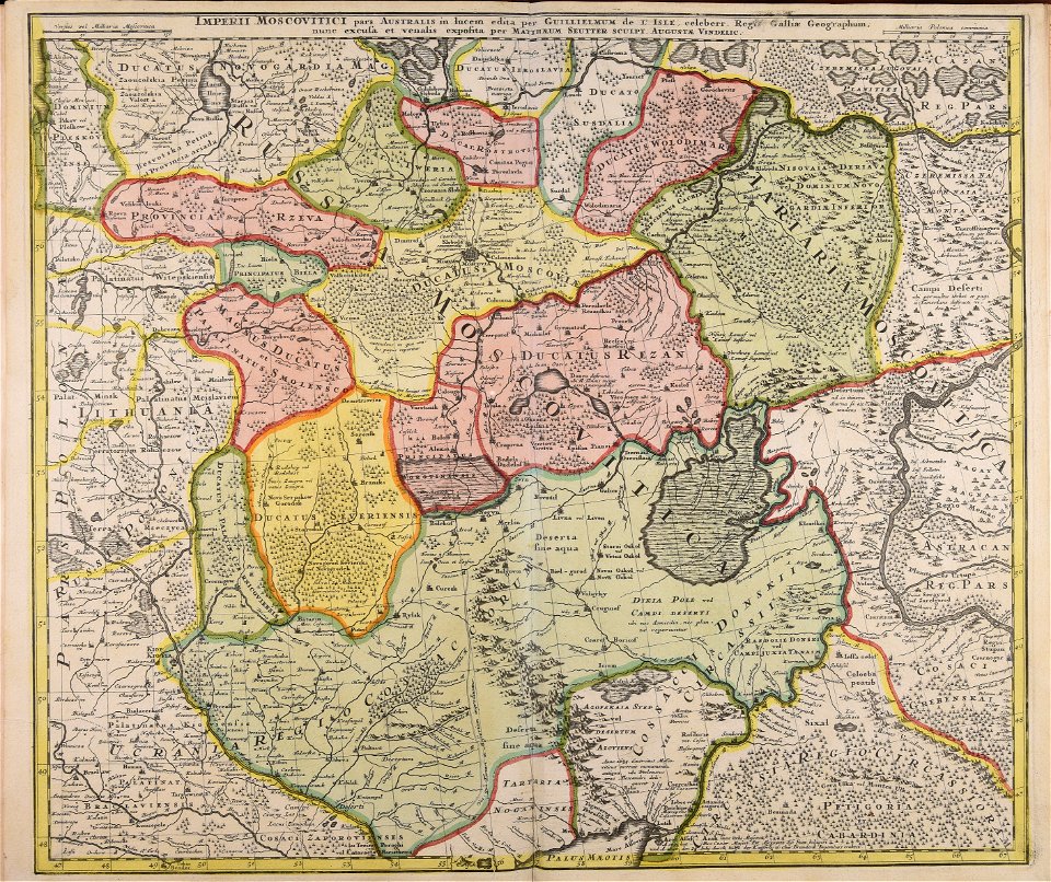
18th-century maps of russia
works by guillaume delisle
maps made in the 17th century
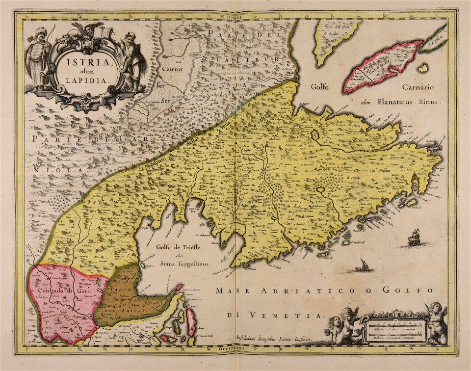
istria
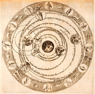
astronomical diagrams
zodiac
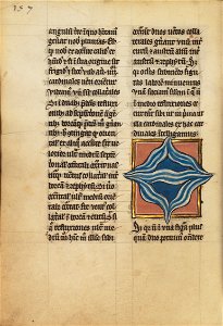
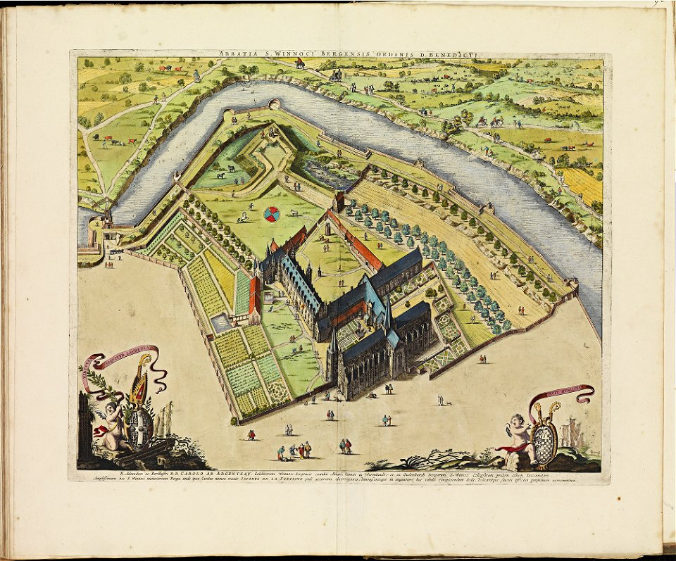
ms. ludwig xv 4 (getty museum) - bird book of hugo fouilloy
13th-century maps of the world
sofala province
kilwa kisiwani
old maps of galicia (spain)
johannes van keulen
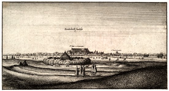
tothill fields by wenceslas hollar
prints by wenzel hollar
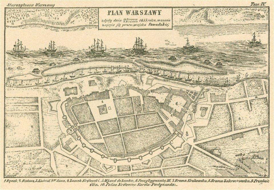
historical maps of warsaw
warsaw in the 1650s
maps of zuid-kennemerland
hendrik de leth
charts and maps of the royal museums greenwich
lucas janszoon waghenaer
drawings and watercolours of the royal museums greenwich
printing
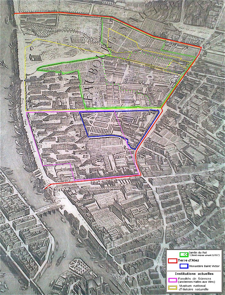
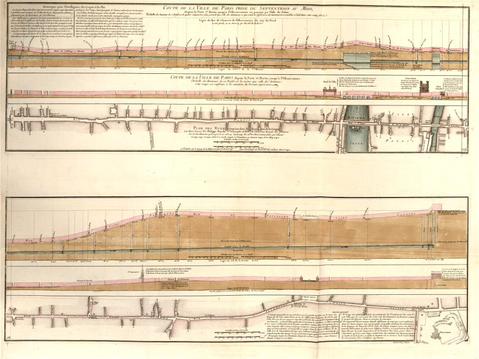
historical images of bièvre river in paris
old submaps of paris
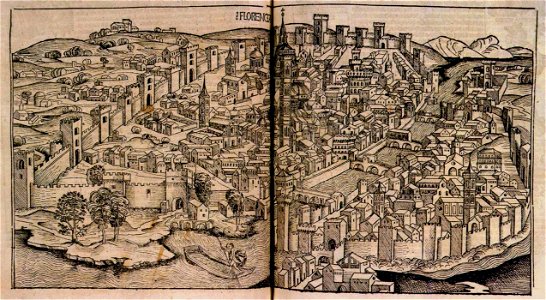
towns in the nuremberg chronicle
budapest
atlas de wit 1698
frederick de wit
dutch 17th-century prints in the rijksmuseum amsterdam
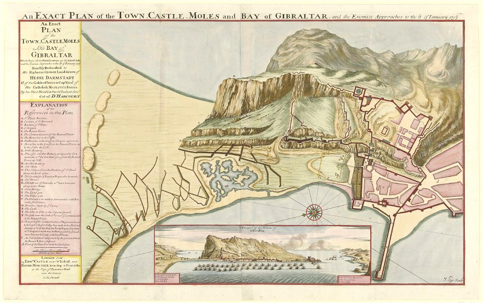
old maps of gibraltar
west-indische compagnie
1745
sailing ships of the netherlands
1665
media contributed by agad presented in former polska.pl portal
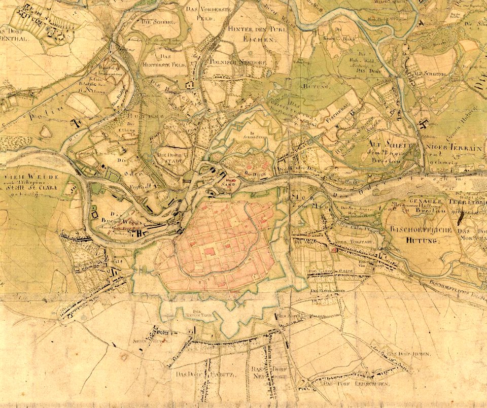
maps of the history of breslau (wrocław)
maps made in the 17th century
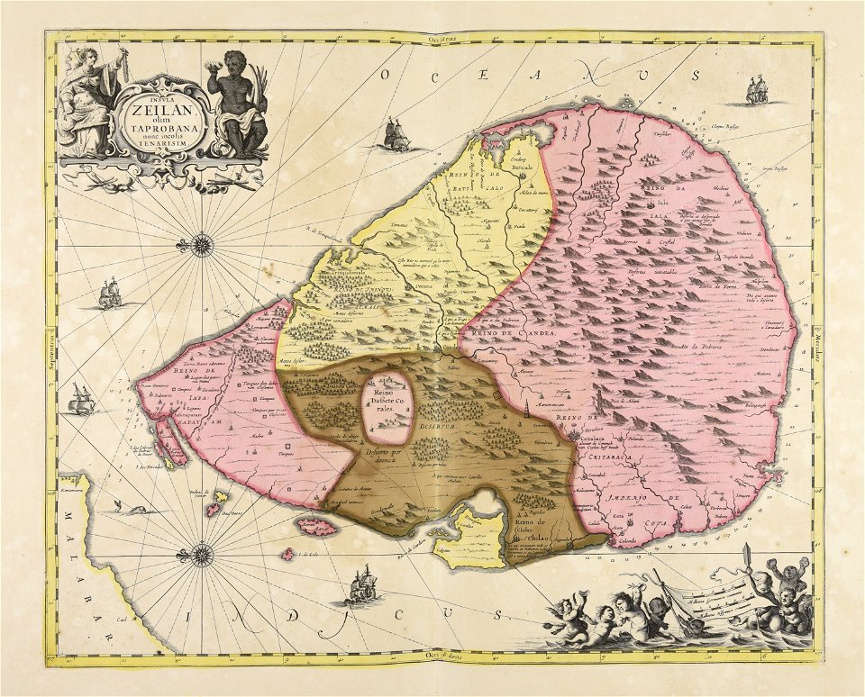
sri lanka
pictorial history of the russian war 1854-5-6 by george dodd
aegean sea
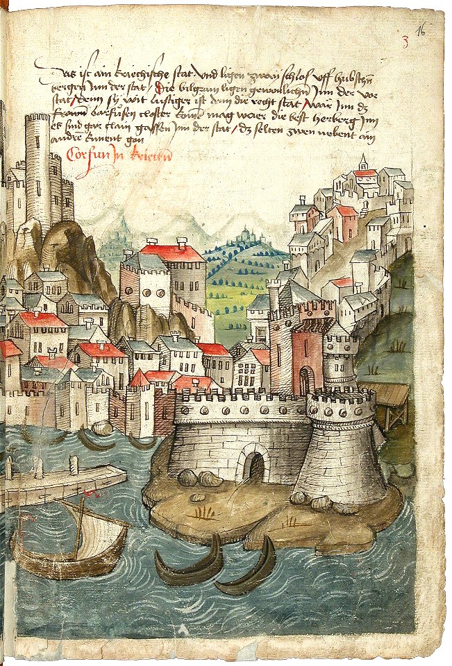
beschreibung der reise von konstanz nach jerusalem
old maps of corfu
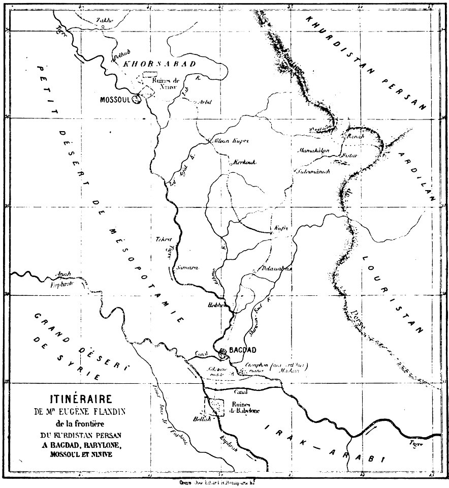
illustrations from le tour du monde by eugène flandin
volume 4 of le tour du monde
les anciens couvents de lyon
16th-century maps of lyon
cornell: persuasive cartography: the pj mode collection
cornell university library
ou mémoires at the peace palace library
old maps of edinburgh
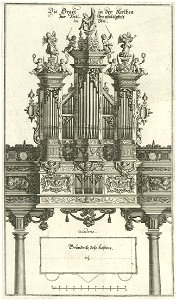
pipe organs in art
history of ulm
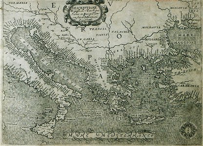
16th-century maps of the ottoman empire
giuseppe rosaccio
old maps of florence
florence in art
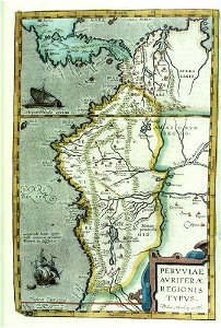
17th-century maps of south america
files from the bodleian libraries
maps made in the 17th century
nicolaes visscher ii
historical images of blois
harvard university
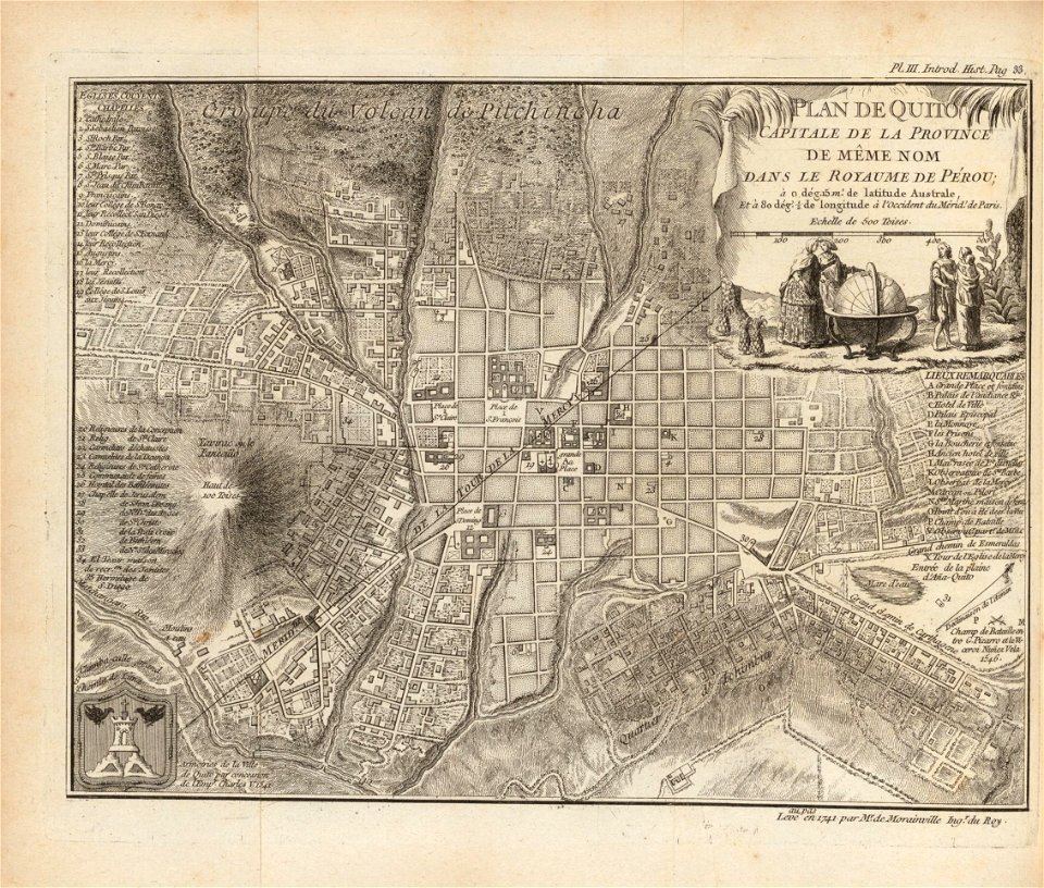
ecuador in the 18th century
harvard university
1760s maps of the netherlands
old maps of south holland
maps in the library of congress
western europe
maps in the library of congress
western europe
maps in the library of congress
western europe
maps in the library of congress
western europe
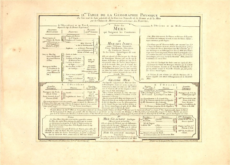
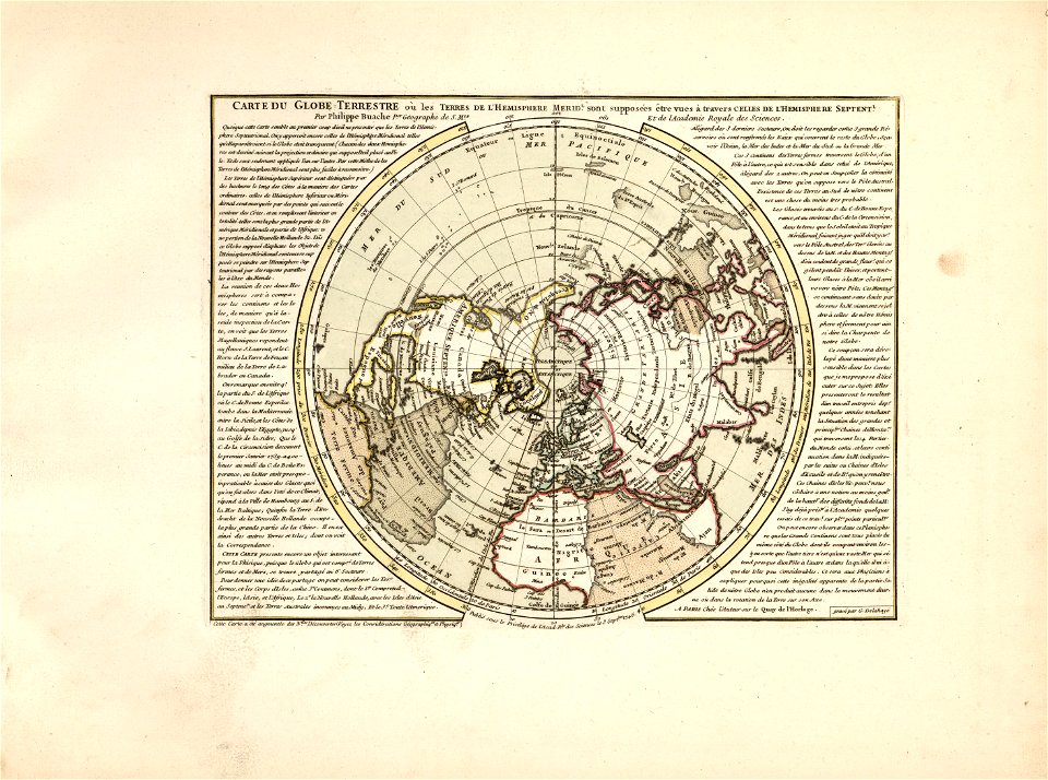
cartes et tables de la géographie physique ou naturelle
maps in the library of congress
cartes et tables de la géographie physique ou naturelle
maps in the library of congress
cartes et tables de la géographie physique ou naturelle
maps in the library of congress
cartes et tables de la géographie physique ou naturelle
maps in the library of congress
cartes et tables de la géographie physique ou naturelle
maps in the library of congress
cartes et tables de la géographie physique ou naturelle
maps in the library of congress
cartes et tables de la géographie physique ou naturelle
maps in the library of congress
cartes et tables de la géographie physique ou naturelle
maps in the library of congress
cartes et tables de la géographie physique ou naturelle
maps in the library of congress
maps made in the 17th century
jan janssonius
œuvres de tony garnier conservées au mba lyon
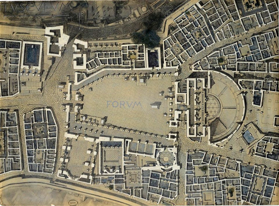
tusculum
theatrum orbis terrarum (london 1606)
files from the bodleian libraries
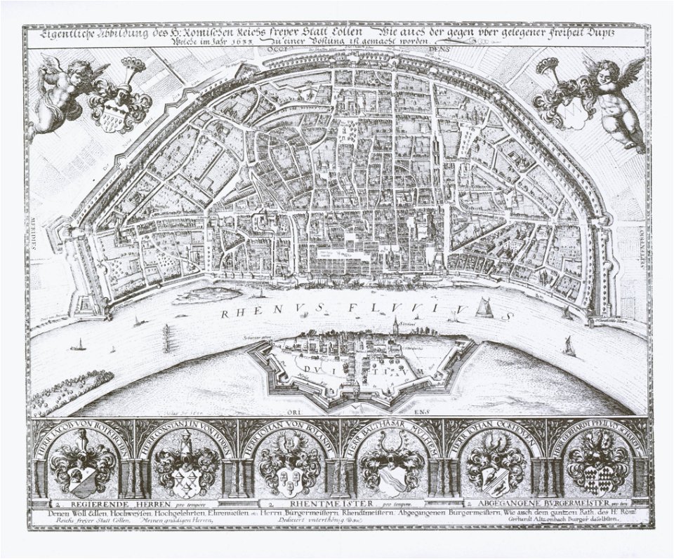
1633 in north rhine-westphalia
old maps of cologne
theatrum orbis terrarum (london 1606)
files from the bodleian libraries
10201 - 10300 of 38,713
Next page
/ 388