Log in
All resources
Create a design
8,995 Free Images of Scale
bibliothèque nationale de france
atlantic ocean
united states,uss kearsarge (lhd 3)
large scale exercise 2021
lse21
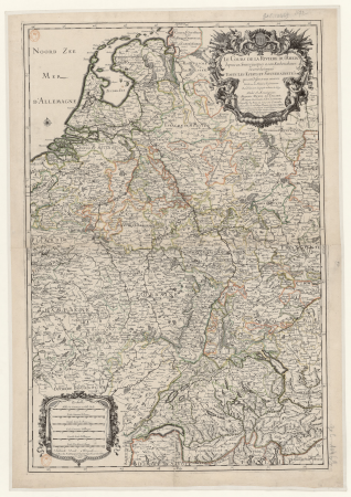
maps from university of amsterdam special collections
atlas der neederlanden
copperplate print
special collections of the university of amsterdam
maps by willem and johannes blaeu
animals
nature
maps from gallica
guides joanne
bibliothèque nationale de france
guillaume sanson
bibliothèque nationale de france
maps by tomas lopez
a plan of the operations of the king's army under the command of general sr. william howe, k.b. in new york and east new jersey, against the american forces commanded by general washington, from the 12th. of october, to the 28th. of november 1776
iona island (new york)
rambha (apsara)
rambha
context files from gallica
hendrik de leth
1610s maps of the netherlands
maps with cartouches
maps from university of amsterdam special collections
atlas der neederlanden
prints by agostino veneziano in the british museum
maps in the british museum
prints by agostino veneziano in the british museum
maps in the british museum
elasto ecommerce ui flat & outline icons pack
zoom
animals
cat
1610s maps of the netherlands
old maps of friesland
carte de france instructive et amusante divisée en quatrevingt six départements - btv1b84949605
bibliothèque nationale de france
maps from gallica
guides joanne
bibliothèque nationale de france
cartouches by tomas lópez
maps by willem and johannes blaeu
1680s maps of indonesia
maps by willem and johannes blaeu
1680s maps of indonesia
17th-century maps of xaintonge
maps by jodocus hondius
business
shopping
new zealand
animals
seafood
fish
china
scale
chevrolet
caprice
building
stones
paintings in the sonderauftrag linz
german renaissance
atlantic ocean
checkflicr
atlantic ocean
checkflicr
context files from gallica
pieter van der keere
checkflickr2
boat
atlantic ocean
checkflicr
maps in the library of congress
birds-eye view of seattle, 1884
japanese illustrated books in the metropolitan museum of art
ehon (picture book) by totoya hokkei
japanese illustrated books in the metropolitan museum of art
ehon (picture book) by totoya hokkei
1941 watercolor paintings
cecil glossop
scales
pen
everett d. graff collection of western americana
maps of the united states
maps of brazil by hendrik hondius
bibliothèque nationale de france
historical
history
1600s maps of belgium
old maps of flanders
maps from gallica
guides joanne
maps by willem and johannes blaeu
old maps of gâtinais and sénonais
maps from university of amsterdam special collections
atlas der neederlanden
japanese illustrated books in the metropolitan museum of art
ehon (picture book) by totoya hokkei
japanese illustrated books in the metropolitan museum of art
ehon (picture book) by totoya hokkei
japanese illustrated books in the metropolitan museum of art
ehon (picture book) by totoya hokkei
atlantic ocean
checkflicr
atlantic ocean
checkflicr
atlantic ocean
checkflicr
atlantic ocean
checkflicr
maps in the rijksmuseum amsterdam
willem blaeu
carl spitzweg - das auge des gesetzes (justitia)
post-romanticism
18th-century maps of the malay archipelago
1790s maps of china
maps of the course of the rhine by guillaume sanson
bibliothèque nationale de france
1782 maps of the caribbean
maps by juan lopez
bibliothèque nationale de france
guillaume sanson
maps of morocco by mercator-hondius
bibliothèque nationale de france
new york and brooklyn, with jersey city and hoboken water front
maps in the library of congress
maps from university of amsterdam special collections
atlas der neederlanden
old maps of switzerland
maps from gallica
maps from university of amsterdam special collections
atlas der neederlanden
20th-century maps of oise
maps from gallica
scenic designs by philippe chaperon (opéra de paris)
les huguenots (1897)
old maps of nassau
salomon rogiers
j. konetzny, rauchwaren (folder 2)
romanticism
maps by willem and johannes blaeu
1690s maps of indonesia
fb event cover
draft
instagram ad
draft
maps by willem and johannes blaeu
17th-century maps of sumatra
1669 maps of south america
guillaume sanson
old maps of switzerland
maps from gallica
maps from university of amsterdam special collections
atlas der neederlanden
maps from university of amsterdam special collections
atlas der neederlanden
john rocque's 1746 map of london
bibliothèque nationale de france
john rocque's 1746 map of london
bibliothèque nationale de france
england
uk
japanese illustrated books in the metropolitan museum of art
ehon (picture book) by totoya hokkei
facebook
draft
17th-century maps of the indian ocean
maps by willem and johannes blaeu
maps by willem and johannes blaeu
1690s maps of indonesia
paintings by jan van hemessen
mannerism
17th-century maps of the indian ocean
maps by willem and johannes blaeu
schoten, netherlands
heerlijkheid zaanen
ravi varma press
rambha
fishing
human
the hay wain (full-scale study) (987-1900)
realism,romanticism
maps of brazil by hendrik hondius
bibliothèque nationale de france
maps of brazil by hendrik hondius
bibliothèque nationale de france
maps of north america, nypl collection
novi belgii, atlas maior
frank leslie's illustrated newspaper, 1876
maps in the library of congress
libra (astrology)
scale icons
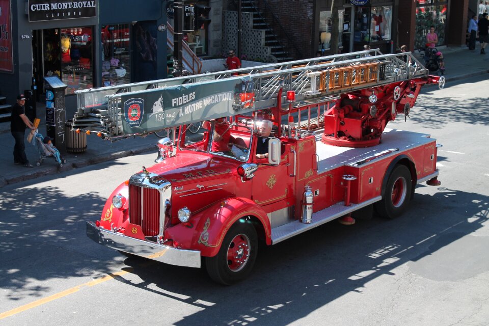
vehicle
truck
maps from university of amsterdam special collections
atlas der neederlanden
maps from university of amsterdam special collections
atlas der neederlanden
atlantic ocean
light
atlantic ocean
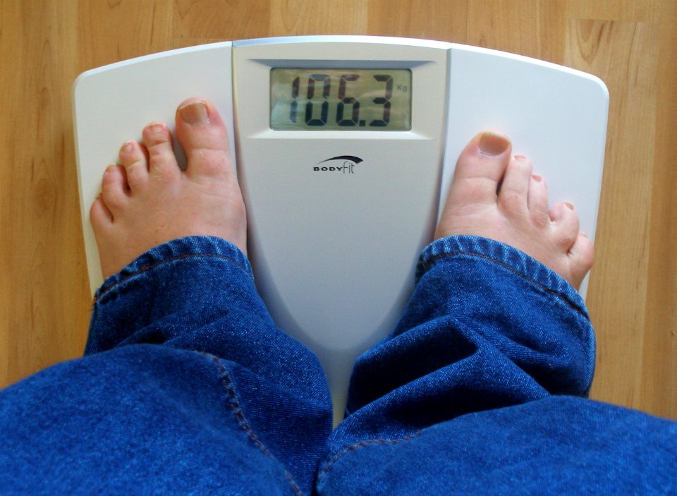
people
bathroom scale
weight
atlantic ocean
people
images provided by the münzkabinett (berlin) - 17th century
coins of jahangir
6401 - 6500 of 8,995
Next page
/ 90


![Map of the Nieukoopsche Plas – Land Reclamation (1788), [1791]](https://cdn.creazilla.com/illustrations/10000814135/map-of-the-nieukoopsche-plas-land-reclamation-1788-1791-md.jpg)