Log in
All resources
Create a design
8,995 Free Images of Scale
bibliothèque nationale de france
john rocque
john rocque 1746 london map (a1-h3)
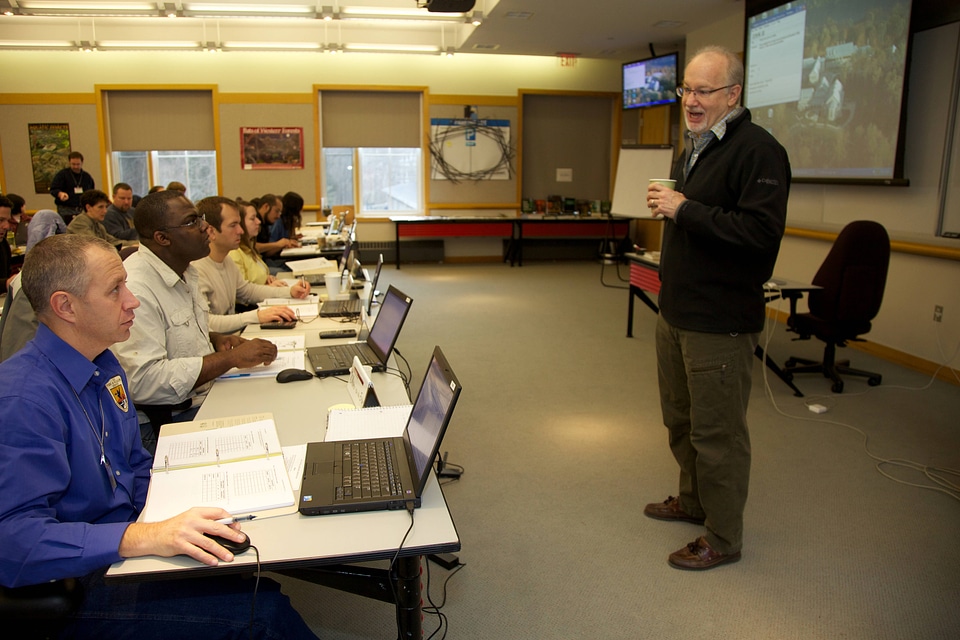
conservation
biologist
west virginia
employees(usfws)
work of the service
landscape conservation
habitat conservation
john rocque's 1748 map of london and adjacent country
bibliothèque nationale de france
john rocque's 1748 map of london and adjacent country
bibliothèque nationale de france
old fourth ward - sweet auburn
checkflickr2
checkflicr
people
checkflicr
people
bibliothèque nationale de france
cartouches by tomas lópez
maps from gallica
guides joanne
maps in the library of congress
1886 maps of new york (state)
jan diricks van campen
johannes van wick
maps of the ottoman empire by mercator-hondius
ottoman empire in the 1600s
historical
history
historical
history
art embroidery: a treatise on the revived practice of decorative needlework (1878)
floral patterns
monster
dragon
dragon
head
bibliothèque nationale de france
joachim ottens
john rocque's 1748 map of london and adjacent country
bibliothèque nationale de france
views of gerena and san juan by joris hoefnagel
context files from gallica
views of gerena and san juan by joris hoefnagel
bibliothèque nationale de france
maps by john rocque
wilton house
maps of the ottoman empire by mercator-hondius
map
maps in the library of congress
1884 maps of new york (state)
admiralty charts 2601-2800
achill head
patrimonium 2 (project)
der holzschnitt (1905)
historical images of istituto industriale tullio buzzi
historical images of industry buildings in prato
bibliothèque nationale de france
battle of mondovi
maps from gallica
guides joanne
saints by lucas cranach (i)
german renaissance
conservation
biologist
conservation
biologist
conservation
biologist
conservation
biologist
conservation
biologist
maps by guillaume delisle
1745 maps
maps from gallica
guides joanne
19th-century portrait paintings in the national portrait gallery (united states)
lucretia coffin mott by joseph kyle
facebook
draft
19th-century portrait paintings in the national portrait gallery, london
benjamin robert haydon
conservation
biologist
conservation
biologist
maps in the biblioteca federiciana
maps by willem and johannes blaeu
maps of abyssinia by mercator-hondius
bibliothèque nationale de france
bibliothèque nationale de france
maps of wales by humphrey llwyd
john rocque 1746 london map (a1-h3)
john rocque
john rocque 1746 london map (a1-h3)
john rocque
john rocque 1746 london map (a1-h3)
john rocque
john rocque 1746 london map (a1-h3)
john rocque
john rocque 1746 london map (a1-h3)
john rocque
john rocque 1746 london map (a1-h3)
john rocque
architecture
philippines
wildlife
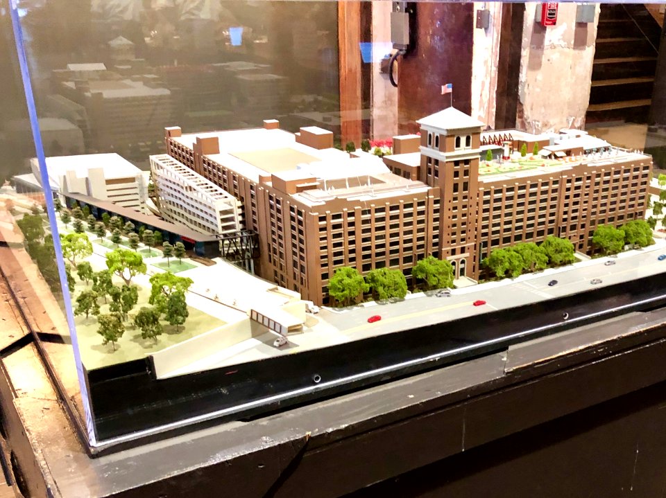
scale
nature
plants
architecture
rin shibuya
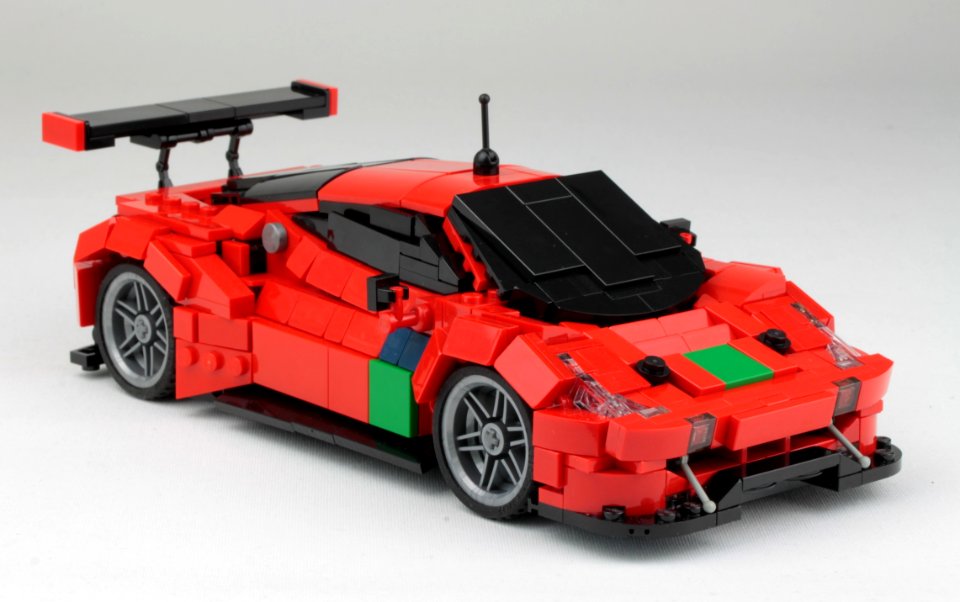
vehicle
car
scale model
project 366
vehicle
car
the bottom of the sea (1870)
maps of the strait of dover
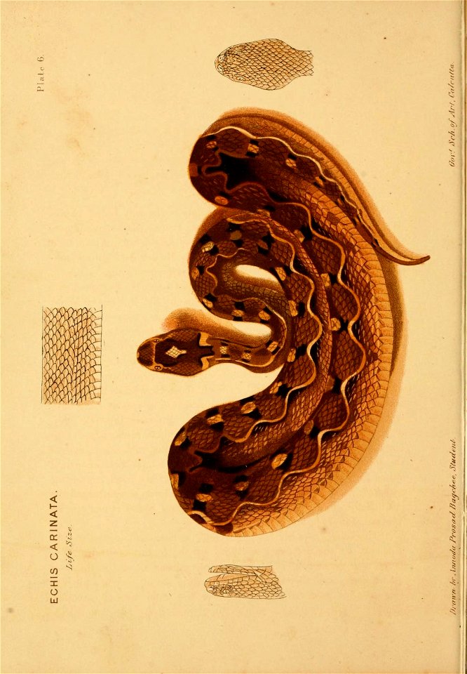
reptiles
india
weinek mond-atlas vi
langrenus (crater)
expressionism,symbolism,bauhaus
men with cats
john rocque 1746 london map (a1-h3)
john rocque
john rocque 1746 london map (a1-h3)
john rocque
ten books on architecture, morgan translation
classicism
john rocque 1746 london map (a1-h3)
john rocque
john rocque 1746 london map (a1-h3)
john rocque
john rocque 1746 london map (a1-h3)
john rocque
john rocque 1746 london map (a1-h3)
john rocque
john rocque 1746 london map (a1-h3)
john rocque
john rocque 1746 london map (a1-h3)
john rocque
media from the national library of finland
classicism
maps of mexico by mercator-hondius
bibliothèque nationale de france
maps of abyssinia by mercator-hondius
bibliothèque nationale de france
historical
history
historical
history
maps in the library of congress
old maps of anniston, alabama
pre-raphaelite brotherhood
details of paintings
landscape
tree
wildlife
scale
anna waser
weinek mond-atlas vi
langrenus (crater)
18th-century maps of jamaica
maps by tomas lopez
john rocque 1746 london map (a1-h3)
john rocque
john rocque 1746 london map (a1-h3)
john rocque
john rocque 1746 london map (a1-h3)
john rocque
john rocque 1746 london map (a1-h3)
john rocque
john rocque 1746 london map (a1-h3)
john rocque
john rocque 1746 london map (a1-h3)
john rocque
fibonacci
geometry
18th-century portrait paintings in the walters art museum
john smart
maps from gallica
guides joanne
1786 maps of spain
maps of el bierzo
maps in the library of congress
18th-century maps of martinique
rivista italiana di numismatica 1889
guido antonio zanetti
old maps of finistère
maps from gallica
illustration
music
watercolor paintings in the yale center for british art
realism
bibliothèque nationale de france
félix robaut
bibliothèque nationale de france
félix robaut
l'empire d'allemagne divisé en ses dix cercles en leurs principaux estats. le royaume de bohême et les provinces qui en dépendent - nouvellement reveu et corrigé par le sieur sanson... ; lud. cordier... - btv1b532023318
sanson maps of the circles of germany
bibliothèque nationale de france
félix robaut
6201 - 6300 of 8,995
Next page
/ 90


![Hafnia metropolis et portus celeberrimus Daniae / S. R. M. pictor Iohan[n]es Van Wick pinx[it] et excudebat; Iohan Dircksen scul[psit], Jan Diricks van Campen, 1611](https://cdn.creazilla.com/illustrations/10000713726/hafnia-metropolis-et-portus-celeberrimus-daniae-s-r-m-pictor-iohannes-van-wick-pinxit-et-excudebat-iohan-dircksen-sculpsit-jan-diricks-van-campen-1611-md.jpg)


![Jessie Willcox Smith – Scales (The Bed-Time Book by Helen Hay Whitney) [from Jessie Willcox Smith: American Illustrator]](https://cdn.creazilla.com/illustrations/7775043/jessie-willcox-smith-scales-the-bed-time-book-by-helen-hay-whitney-from-jessie-w-md.jpeg)

![Road map of the Pas-de-Calais department / published by Félix Robaut, author of geographical maps,...; litho. by F[éli]x Robaut in Douai; Ed. Boldoduc lith., Félix Robaut, 1848](https://cdn.creazilla.com/illustrations/10000580589/road-map-of-the-pas-de-calais-department-published-by-flix-robaut-author-of-geographical-maps-litho-by-flix-robaut-in-douai-ed-boldoduc-lith-flix-robaut-1848-sm.webp)
![Map of communications in the North of France and part of Belgium including all railways, roads, canals and navigable rivers / executed and published F[éli]x Robaut, ..., Félix Robaut, 1843](https://cdn.creazilla.com/illustrations/10000462604/map-of-communications-in-the-north-of-france-and-part-of-belgium-including-all-railways-roads-canals-and-navigable-rivers-executed-and-published-f-li-x-robaut-f-lix-robaut-1843-sm.jpg)

![Map of France divided by provinces and departments with the population of each capital and its distance from Paris in kilometers / lith. by F[éli]x Robaut, Félix Robaut, 1845](https://cdn.creazilla.com/illustrations/10000876748/map-of-france-divided-by-provinces-and-departments-with-the-population-of-each-capital-and-its-distance-from-paris-in-kilometers-lith-by-flix-robaut-flix-robaut-1845-sm.webp)