Log in
All resources
Create a design
8,995 Free Images of Scale
bibliothèque nationale de france
vegetables
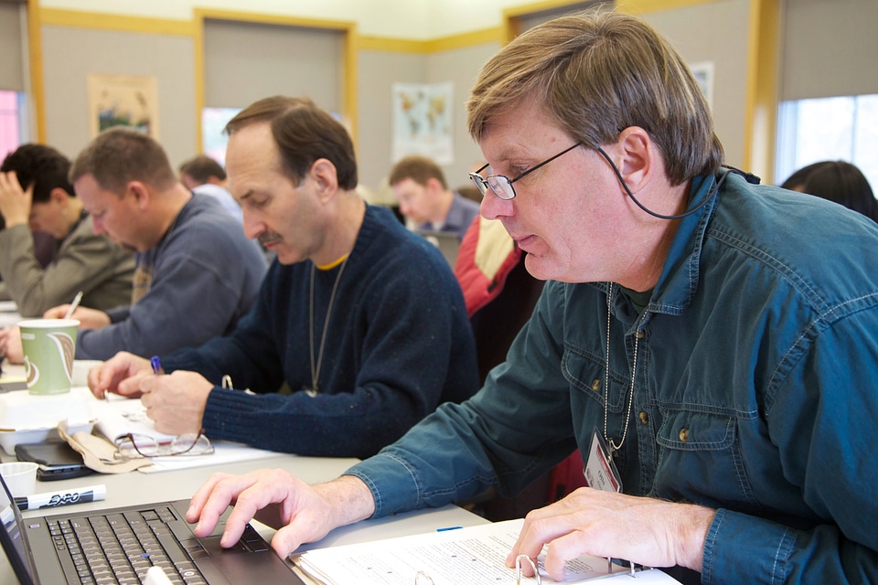
farmer
landowner
high tunnel
soil health
micro-irrigation
community agriculture
small-scale agriculture
family
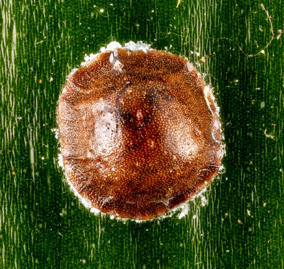
arthropod
animals
17th-century maps of pembrokeshire
old county maps of pembrokeshire
pellegrinaio di santa maria della scala - the investiture of the rector by blessed agostino novello
sienese school
prints after simon vouet in the british museum
classicism
checkflicr
lse21
map collection of leibniz-institut für länderkunde
maps of liège by baptista van doetecum
allegories by theodoor van thulden in the town hall of s-hertogenbosch
1640s allegorical paintings
vehicle
car
vehicle
man
wildlife
truck
vegetables
family
vegetables
tools
vegetables
family
vegetables
family
vegetables
people
vegetables
tools
vegetables
family
vegetables
family
vegetables
family
vegetables
tools
maps from university of amsterdam special collections
atlas der neederlanden
italia - di matteo greuter... - btv1b525056959
17th-century maps of corsica
celeberrimi fluvii albis nova delineatio by willem janszoon blaeu
1628 engravings
bibliothèque nationale de france
cartouches by tomas lópez
17th-century maps of the indian ocean
bodleian maps collection
facebook
draft
john rocque 1746 london map (a1-h3)
john rocque's map of london, 1746
atlas, ou représentation du monde universel et des parties d'icelui, faicte en tables et descriptions très amples et exactes, divisé en deux tomes. édition nouvelle... - btv1b53103889w
maps of candia by ortelius and mercator
map of the circle of bavaria by sanson
louis cordier
estat et seigneurie de l'éves.ché de lyège ou sont les comtés de hasbain, de lootz et de horn, le marquisat de franchimont, et le pays de condroz... - par le sr sanson... - btv1b53202419d
guillaume sanson
atlas, ou représentation du monde universel et des parties d'icelui, faicte en tables et descriptions très amples et exactes, divisé en deux tomes. édition nouvelle... - btv1b53103889w
17th-century maps of chile
atlas, ou représentation du monde universel et des parties d'icelui, faicte en tables et descriptions très amples et exactes, divisé en deux tomes. édition nouvelle... - btv1b53103889w
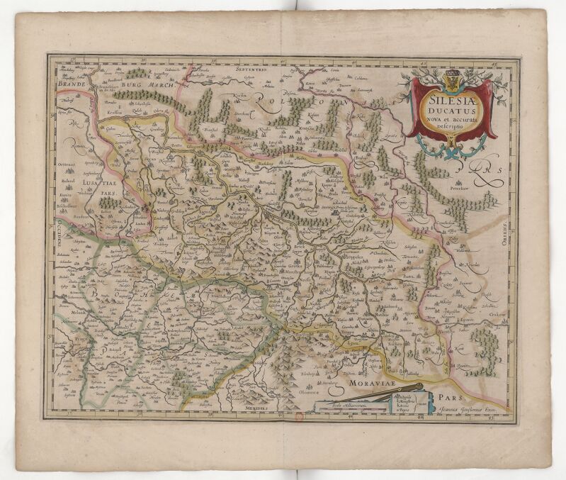
17th-century maps of silesia
atlas, ou représentation du monde universel et des parties d'icelui, faicte en tables et descriptions très amples et exactes, divisé en deux tomes. édition nouvelle... - btv1b53103889w
maps of the peloponnese by gerardus mercator
conservation
biologist
conservation
biologist
gunpowder
scans
musical instruments
purple
maps from gallica
guides joanne
1780s maps of cuba
maps by juan lopez
le duché de poméranie compris sous le cercle de la haute-saxe divisé suivant qu'il est présentement partagé entre la couronne de suède et l'eslecteur de brandebourg, où sont les duchés de... - btv1b53202543b
sanson maps of the circles of germany
bibliothèque nationale de france
félix robaut
atlas, ou représentation du monde universel et des parties d'icelui, faicte en tables et descriptions très amples et exactes, divisé en deux tomes. édition nouvelle... - btv1b53103889w
maps of guinea by mercator-hondius
carte des alpes by guillaume sanson (1690)
bibliothèque nationale de france
bibliothèque nationale de france
maps by thomas kitchin
siège et profil d'arras en 1640 - stefano della bella in. - btv1b53211592x
baroque
religious paintings in groeningemuseum
paintings by jacob van oost (i)
portraits of amedeo modigliani
modern art
benoît de maillet
étienne jeaurat
wikidonne uploads
music icon
map of the circle of the rhineland by sanson
1670s maps of rhineland-palatinate
facebook
draft
facebook
draft
bilder aus dem alten frankfurt am main. nach der natur.
template unknown (unspecified)
siège et profil d'arras en 1640 - stefano della bella in. - btv1b53211592x
baroque
siège et profil d'arras en 1640 - stefano della bella in. - btv1b53211592x
baroque
atlas, ou représentation du monde universel et des parties d'icelui, faicte en tables et descriptions très amples et exactes, divisé en deux tomes. édition nouvelle... - btv1b53103889w
maps of waldeck by gerardus mercator
bibliothèque nationale de france
félix robaut
old maps of bologna
gregorio monari
maps by nicolas sanson
1720s maps of france
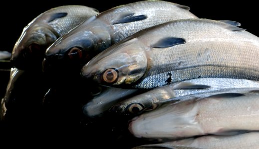
silver
fish
atlantic ocean
united states
pacific theater
new hebrides
processes
chemical
building
clouds
checkflicr
people
checkflicr
people
checkflicr
people
checkflicr
navy
january 2007 in stockholm
flykten med toran
ravi varma press
surya
old maps of the republic of genoa
maps by alexis-hubert jaillot
history of magdeburg cathedral
johann christoph nabholz
north carolina
south
old fourth ward - sweet auburn
checkflickr2
checkflicr
people
historical
history
john rocque's 1748 map of london and adjacent country
bibliothèque nationale de france
john rocque's 1748 map of london and adjacent country
bibliothèque nationale de france
john rocque's 1748 map of london and adjacent country
bibliothèque nationale de france
historical
history
historical
history
historical
history
historical
history
centre de documentació i museu de les arts escèniques
francesc soler rovirosa
adriaan justus enschedé
old maps of haarlem
details of allegory of the tulipomania by jan brueghel ii (private collection)
baroque
maps in the library of congress
1889 maps of new york (state)
mannerist allegorical paintings
mannerism
maps from university of amsterdam special collections
atlas der neederlanden
facebook
draft
admiralty charts region b: england wales ireland english channel southern north sea
admiralty charts 1801-2000
old maps of the republic of genoa
maps by alexis-hubert jaillot
history of magdeburg cathedral
johann christoph nabholz
works after joseph vernet
seascapes
rin shibuya
vehicle
man
vegetables
family
vegetables
family
vegetables
family
john rocque's 1748 map of london and adjacent country
bibliothèque nationale de france
6101 - 6200 of 8,995
Next page
/ 90


![[The northern Indian Ocean by Joan Blaeu, 1688]](https://cdn.creazilla.com/illustrations/10000550971/the-northern-indian-ocean-by-joan-blaeu-1688-md.jpg)


![Plan of Douai, published in 1648 ([Facsimile reproduction]) / extract from the work of Jean Blaew of Amsterdam, entitled: Novum ac Magnum Theatrum urbium Belgiae regalis; autograph of Félix Robaut, 1847](https://cdn.creazilla.com/illustrations/10001117677/plan-of-douai-published-in-1648-facsimile-reproduction-extract-from-the-work-of-jean-blaew-of-amsterdam-entitled-novum-ac-magnum-theatrum-urbium-belgiae-regalis-autograph-of-flix-robaut-1847-md.jpg)