Log in
All resources
Create a design
357,615 Free Images of Map
pages with maps
cc-zero
quality images
quality images missing sdc depicts
quality images by jebulon
architecture
quality images by wilfredor
files by wilfredor
images of venezuela by user:wilfredor
taken with nikon d300
prime meridian
new world
old maps of guangzhou
maps by brockhaus
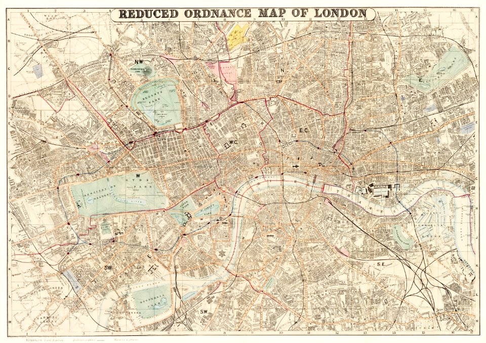
david rumsey historical map collection
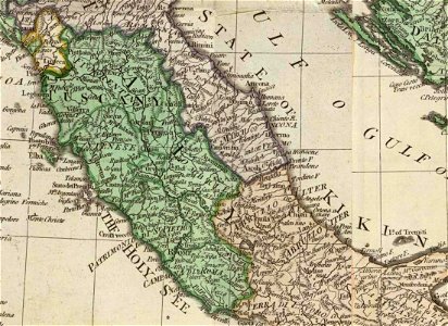
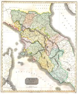
old maps of marche
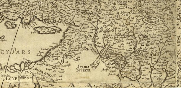
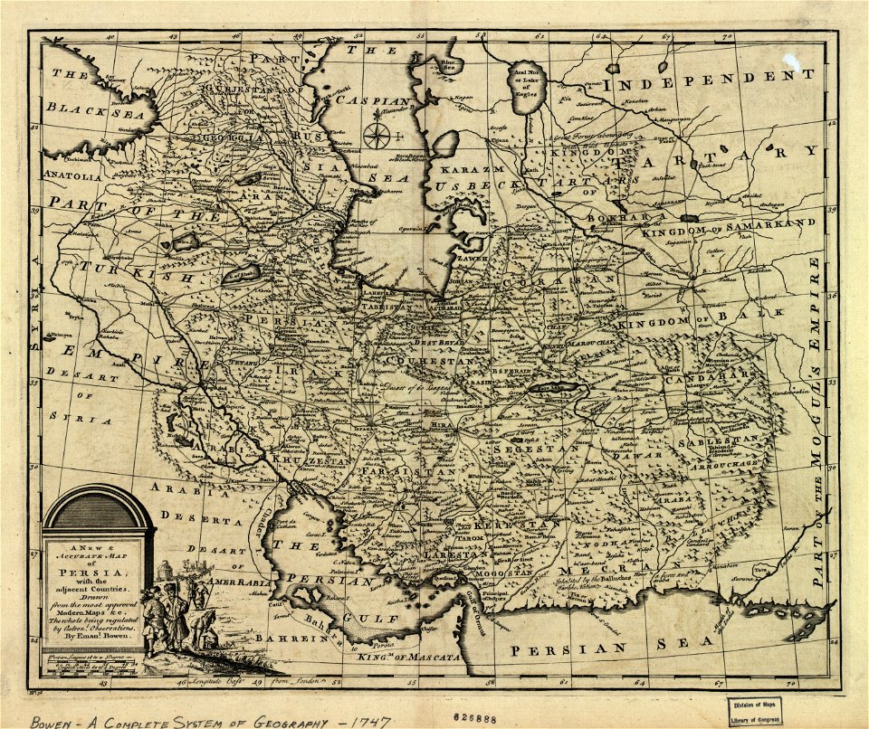
old maps of the middle east
1590 maps of iran
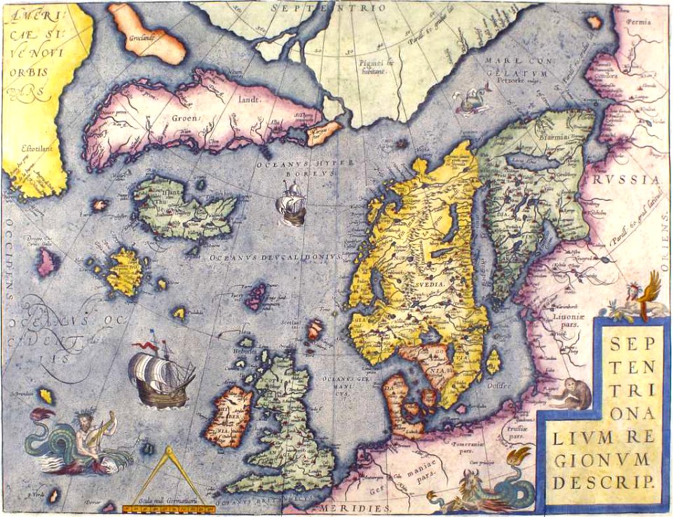
old maps of scandinavia
old maps of iceland
printing
maps
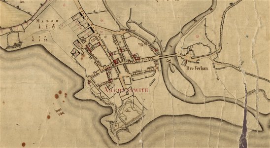
estate maps in the national library of wales
estate maps
vintage
maps
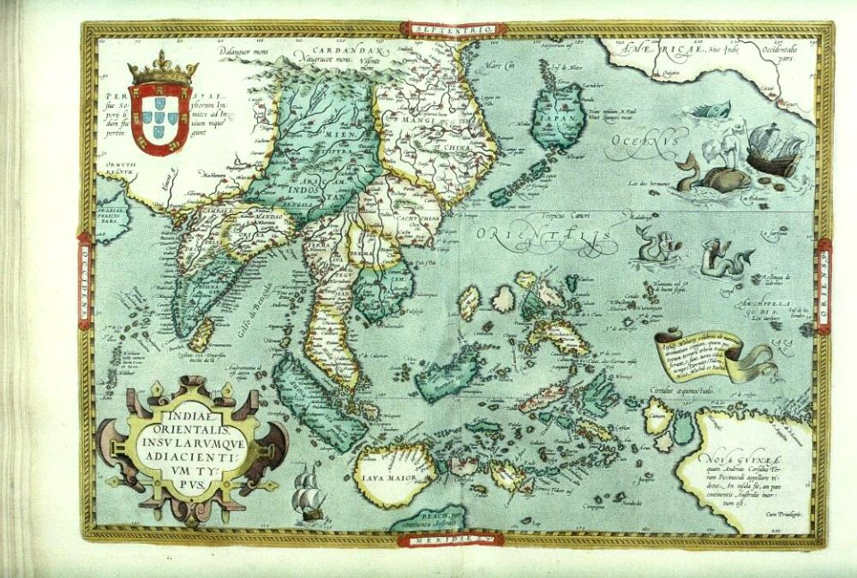
old maps of indonesia
old maps of japan
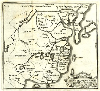
17th-century maps of china
old maps of korea
english-language maps of europe
maps by john thomson
maps of world war ii in europe
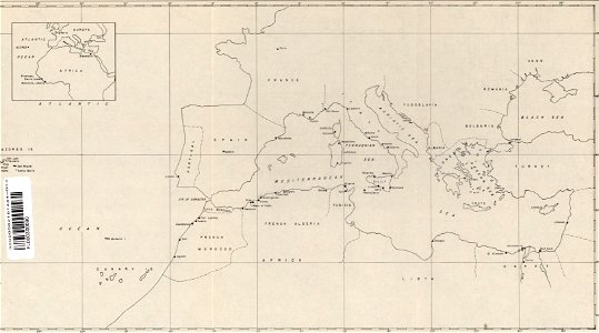
maps of the mediterranean sea
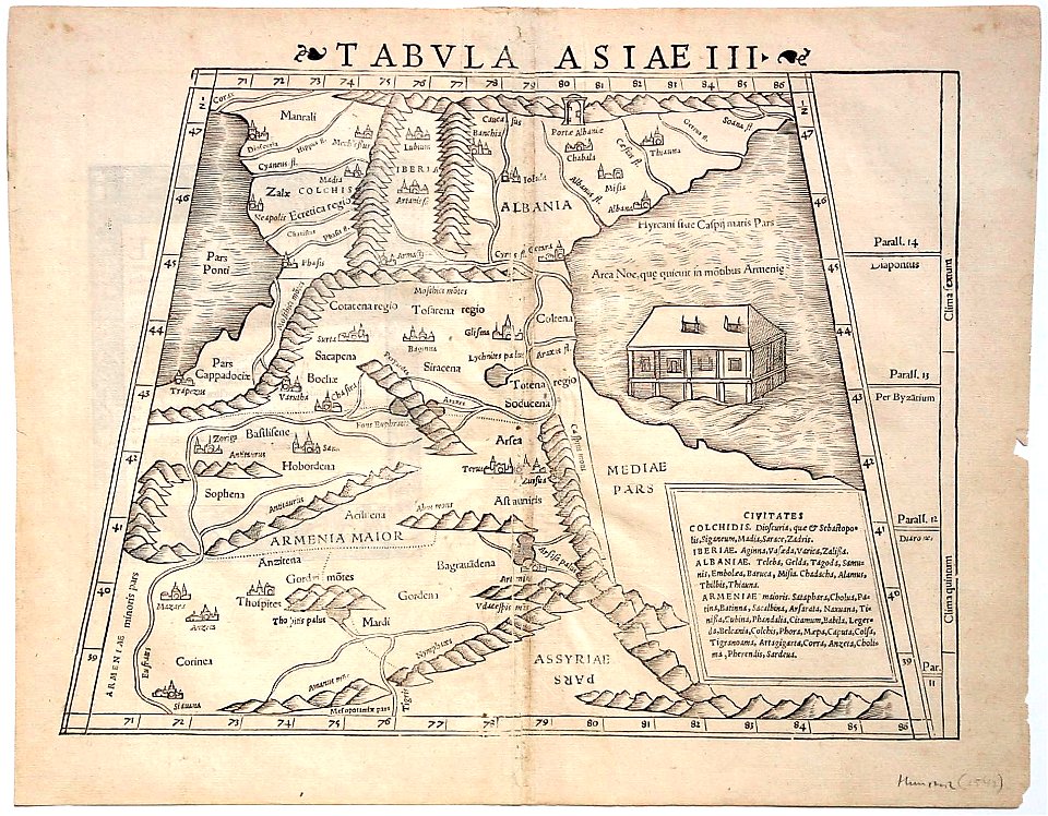
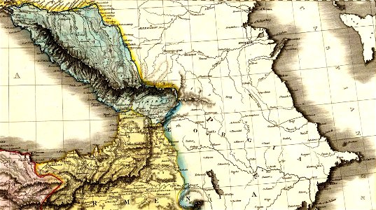
16th-century maps of georgia
maps by sebastian münster
cartography
maps
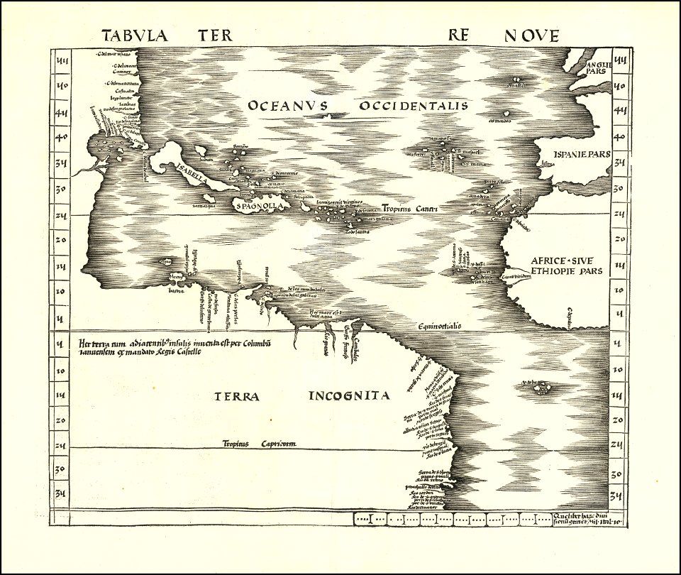
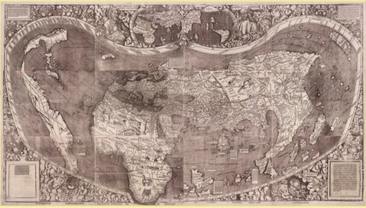
16th-century maps of the americas
maps by martin waldseemüller
derivatives of the coats of arms of the árpád family
historical national coats of arms of hungary
egypt
maps
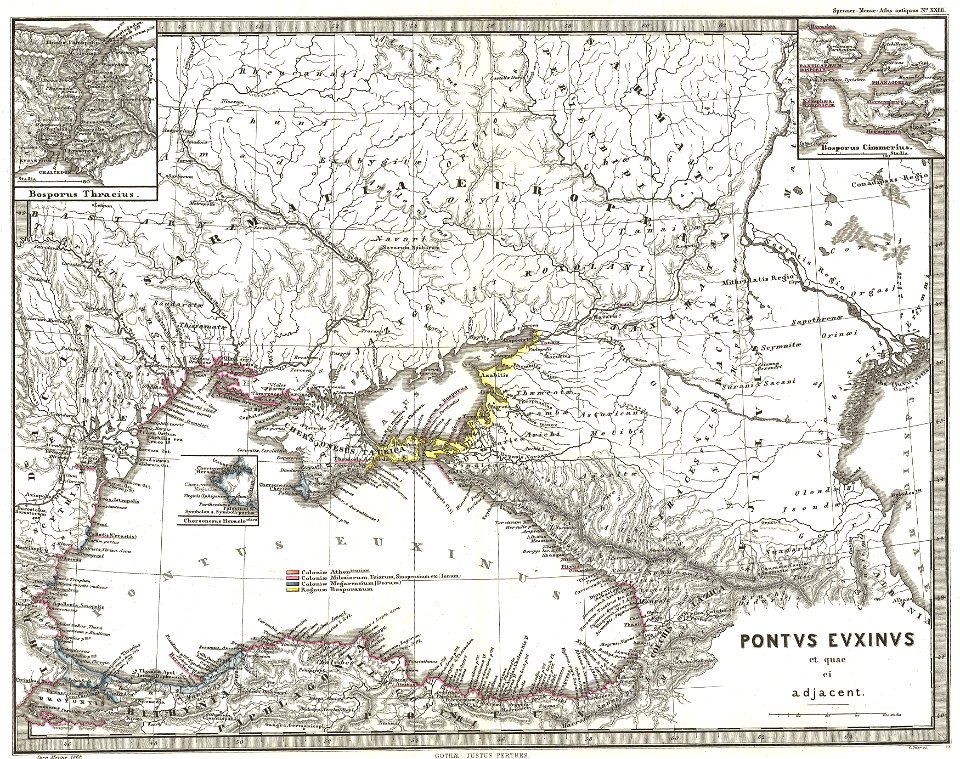
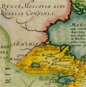
old maps of armenia
mashhad
maps of paris from the barry lawrence ruderman antique maps inc.
bird's eye view maps of paris
africa
maps
david rumsey historical map collection
j. and p. knapton
19th-century maps of the caucasus
karl spruner von merz
maps by johannes janssonius
old maps of armenia
self-published work
pages with maps
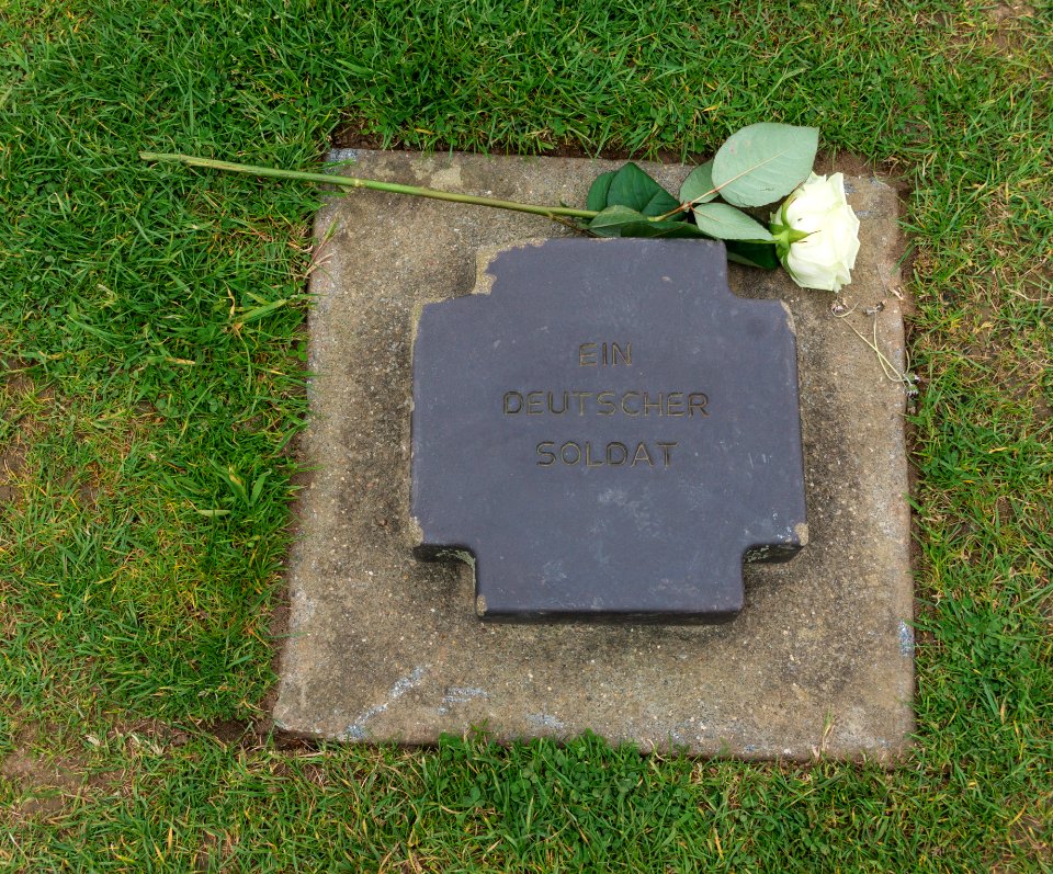
unknown soldier
lawn
self-published work
flags with roundels
laurel wreaths in art
self-published work
mountain
grass
laurel wreaths in art
blue sky
wildlife
animals
self-published work
graduation
architecture
blue
cuisine of isla margarita
kitchen
self-published work
pages with maps
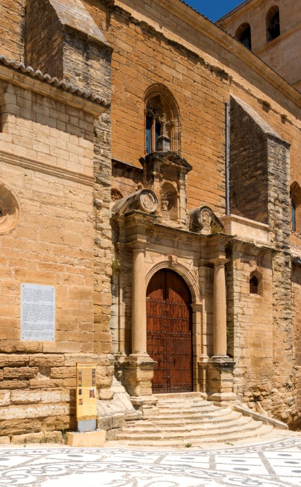
architecture
travel
self-published work
architecture
sculptures in paris 7e arrondissement
architecture
water
boat
skyline
travel
village
travel
architecture
city
architecture
village
self-published work
architecture
february 2016 denmark photographs
self-published work
aircraft
aviation
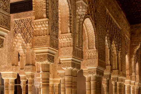
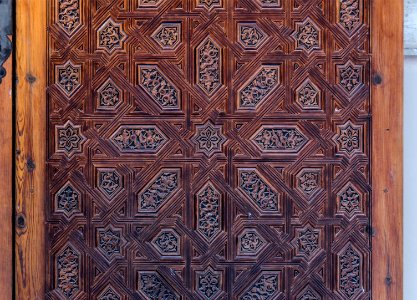
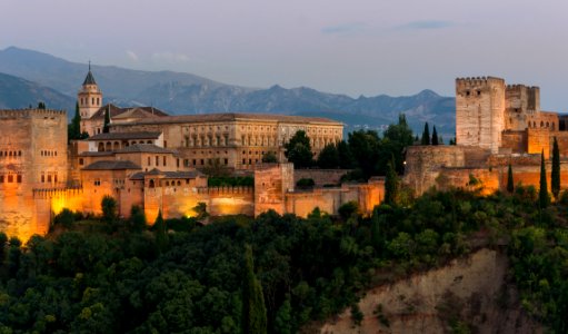
the alhambra photographed in 2012
doors in the alhambra
self-published work
pages with maps
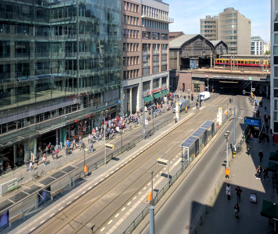
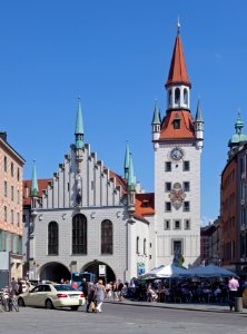
skyline
city
architecture
facade
travel
city
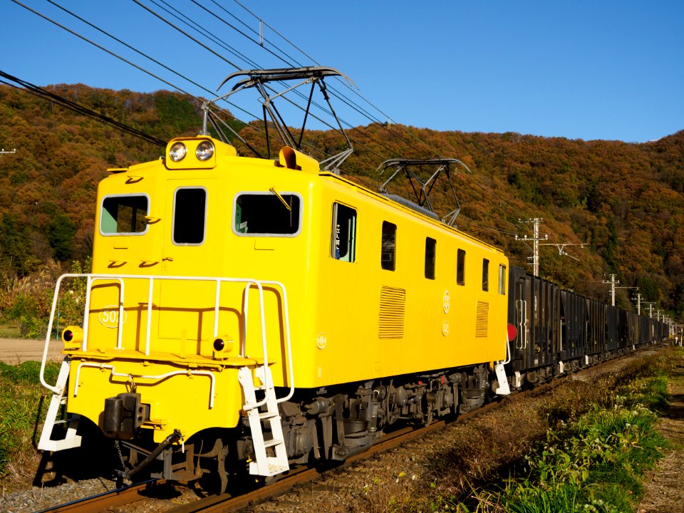
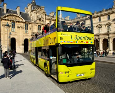
passenger train
vehicle
self-published work
pages with maps
self-published work
pages with maps
architecture
travel
self-published work
pages with maps
water
boat
landscape
water
self-published work
pages with maps
water
tree
self-published work
city
the alhambra photographed in 2014
august 2014 in granada
architecture
travel
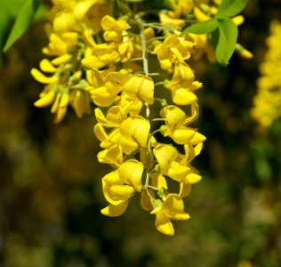
spring
plants
self-published work
pages with maps
2015 in aegina
architecture
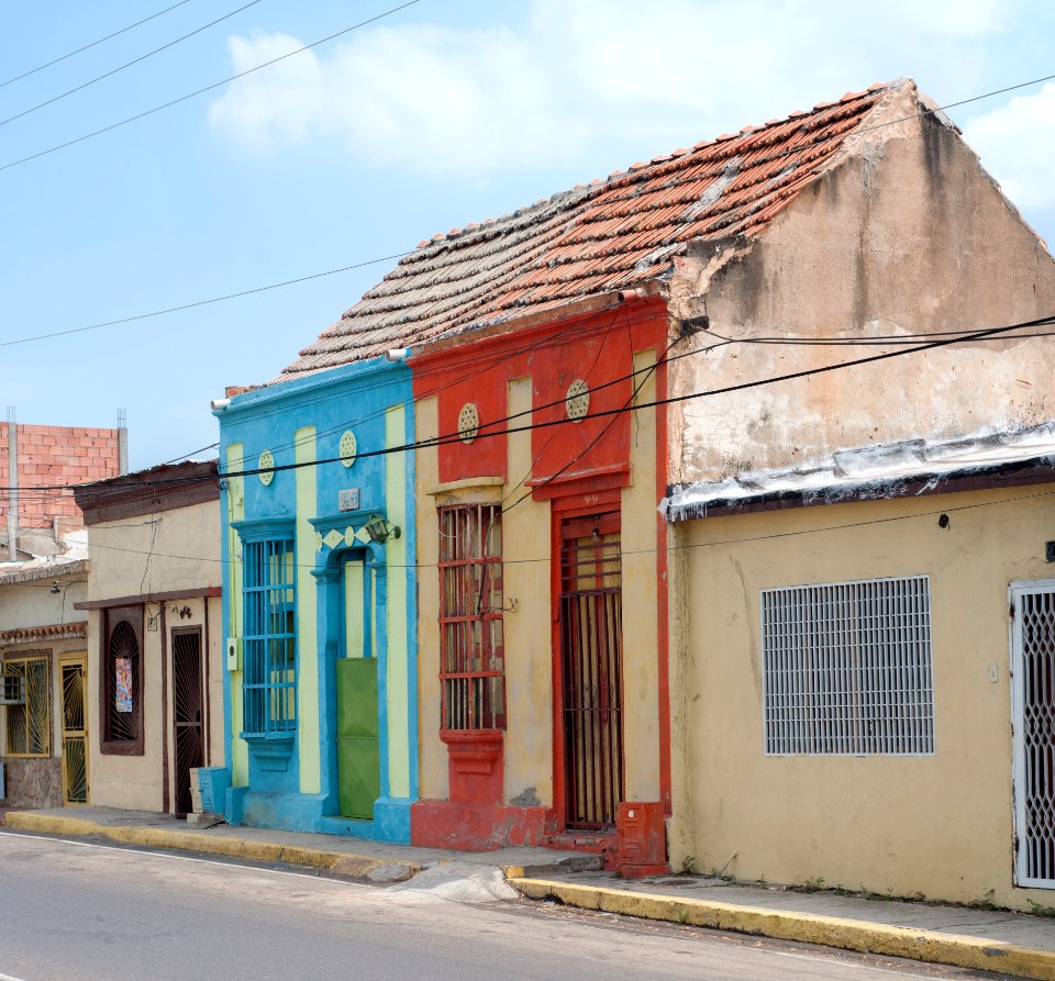
flea market in maracaibo
people of maracaibo
architecture
shopping
orders, decorations and medals in the treasury, munich
jewellery
architecture
facade
climate justice now
self-published work
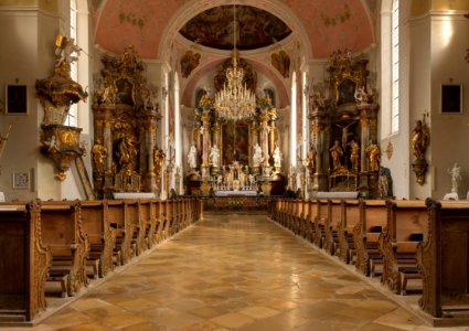
architecture
interior
self-published work
pages with maps
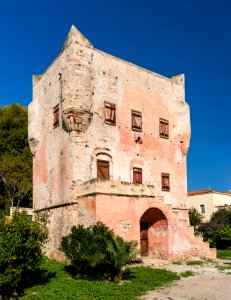
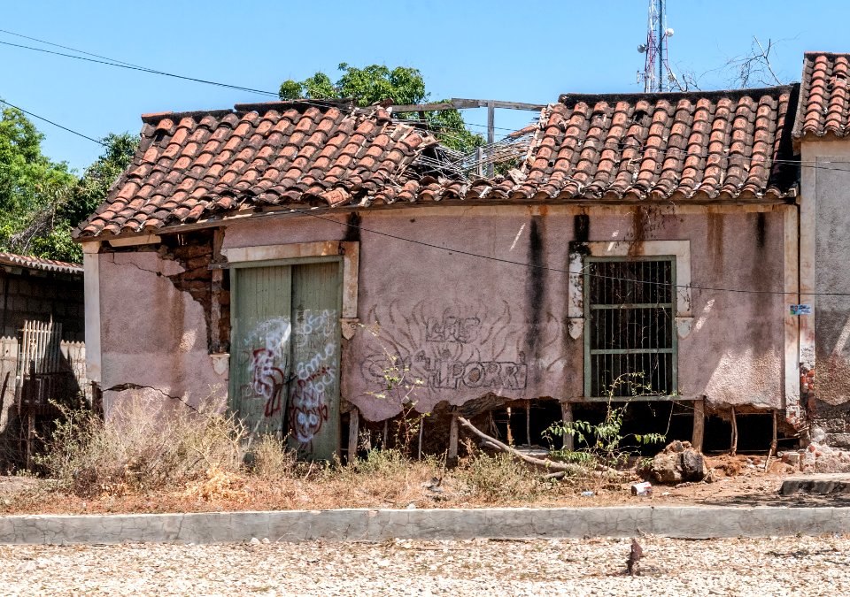
colonial architecture in isla margarita
architecture
self-published work
architecture
water
fish
sidewalk
pavement
self-published work
pages with maps
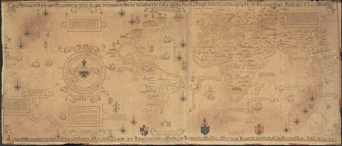
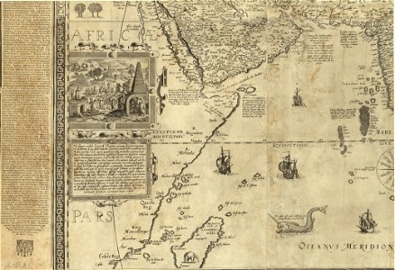
1500s maps of the world
waldseemüller map
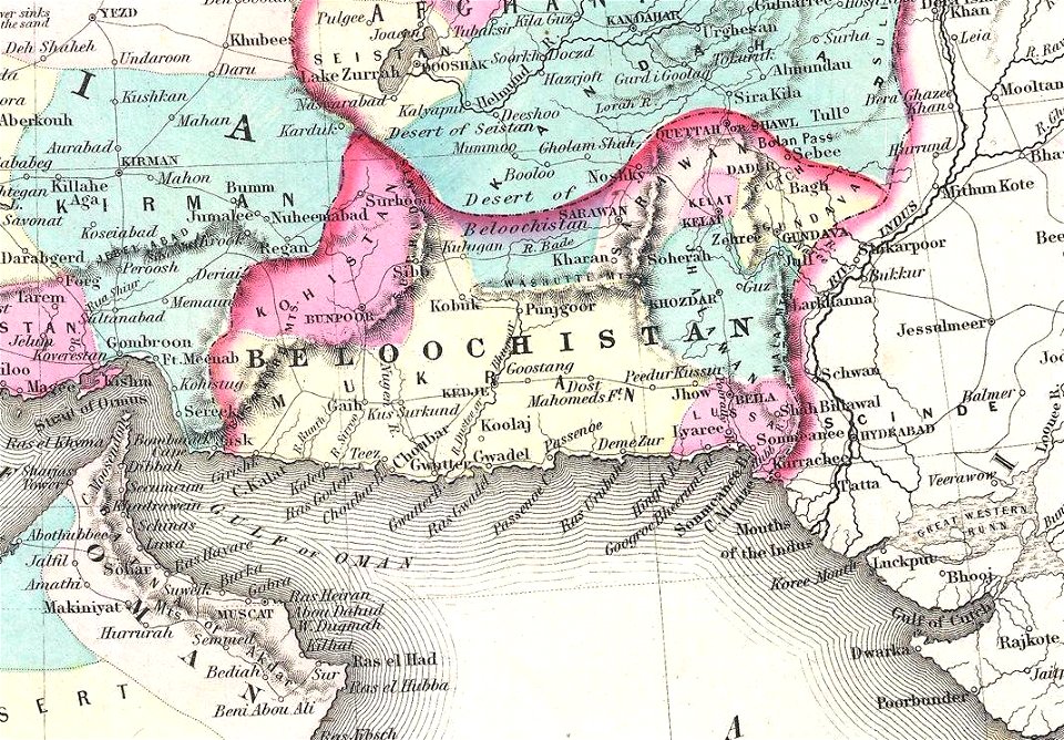
old maps of balochistan
old maps of asia
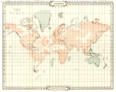
world map
maps
18th-century maps of indonesia
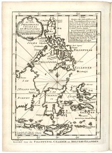
old maps of the philippines
david rumsey historical map collection
old maps of the caspian sea
maps of midian
ships on maps
travel
city
architecture
village
self-published work
pages with maps
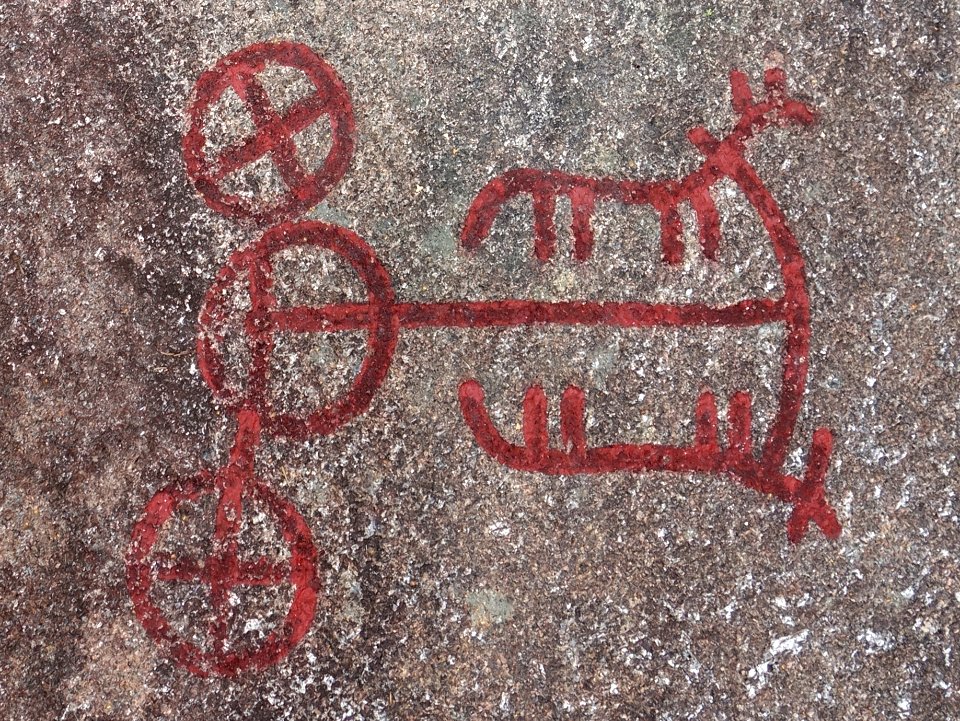
tiny
red
self-published work
architecture
self-published work
vehicle
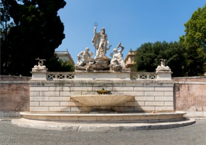
august 2013 in rome
architecture
colonial architecture in isla margarita
rural
architecture
village
water
boat
smiling men
people
architecture
interior
architecture
travel
vehicle
water
statues in maracaibo
self-published work
self-published work
pages with maps
architecture
town
2701 - 2800 of 357,615
Next page
/ 3577