Log in
All resources
Create a design
357,615 Free Images of Map
pages with maps
cc-zero
quality images
quality images missing sdc depicts
quality images by jebulon
architecture
maps
facade
quality images by wilfredor
valued images by jebulon
self-published work
interior
skyline
travel
flea market in maracaibo
shopping
architecture
symmetry
vehicle
water
saint-philbert-sur-risle
architecture
architecture
facade
landscape
nature
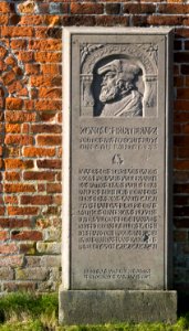
self-published work
marble bust
the alhambra photographed in 2012
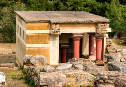
architecture
architecture
roof
architecture
facade
self-published work
pages with maps
self-published work
pages with maps
landscape
rock
august 2013 in rome
self-published work
self-published work
pages with maps
architecture
travel
self-published work
pages with maps
water
sea
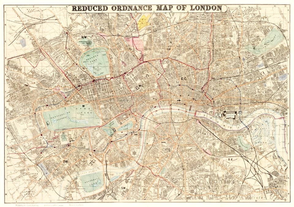
maps in the library of congress
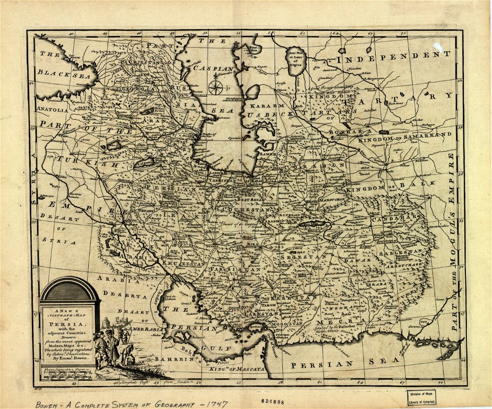
maps of the history of iran
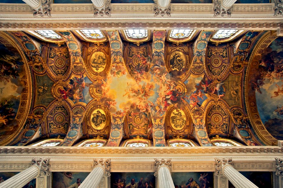
chapel of the palace of versailles, ceiling
paintings of god the father
vehicle
car
self-published work
pages with maps
architecture
cherub
wooden doors in andalusia
architecture
self-published work
pages with maps
self-published work
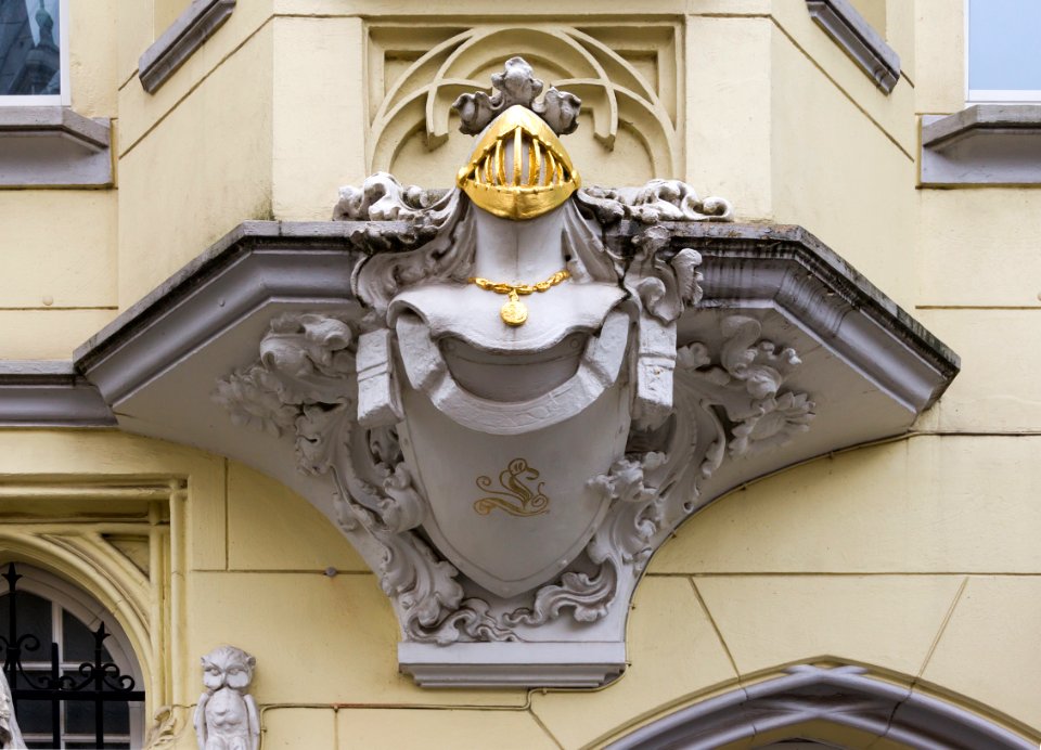
gold
architecture
skyline
forest
green
water
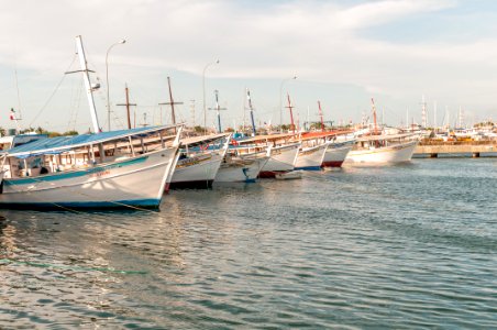
boat
self-published work
nyborg castle
architecture
facade
water
boat
architecture
facade
self-published work
architecture
self-published work
pages with maps
self-published work
pages with maps
self-published work
pages with maps
landscape
sea
architecture
facade
architecture
facade
self-published work
architecture
self-published work
pages with maps
victoria harbour
water
architecture
city
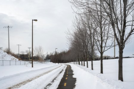
winter
tree
travel
city
self-published work
pages with maps
self-published work
leaves
architecture
facade
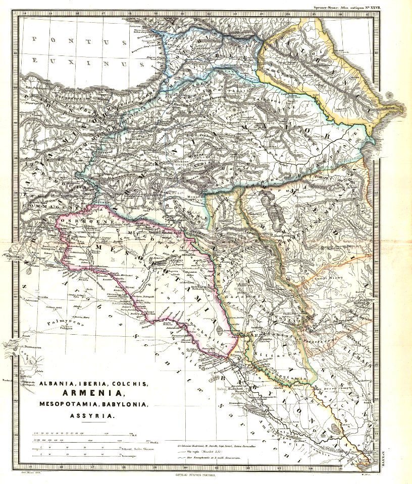
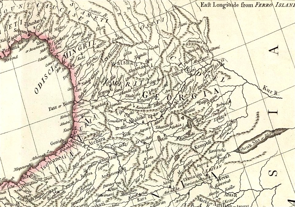
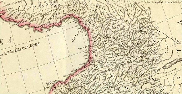
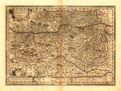
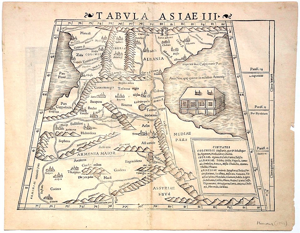
19th-century maps of the caucasus
karl spruner von merz
geography
maps
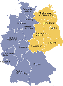
germany
maps
australia
maps
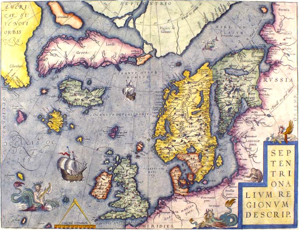
old maps of greenland
old maps of iceland
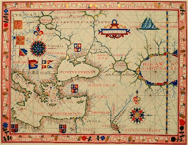
16th-century maps of the black sea
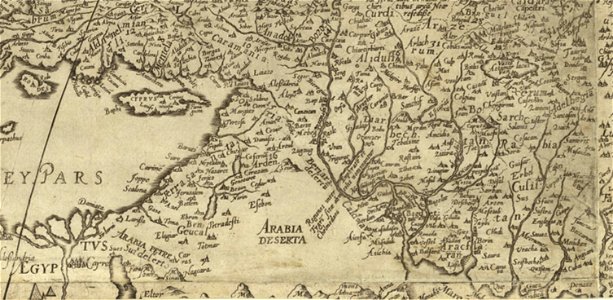
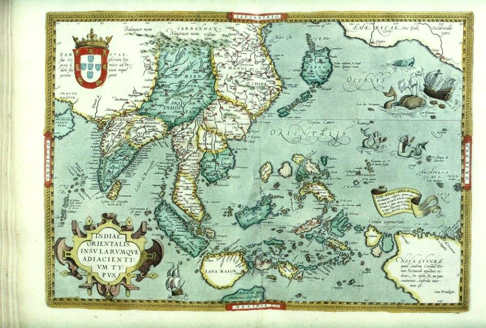
old maps of the middle east
old maps of jordan
catalan atlas
maps
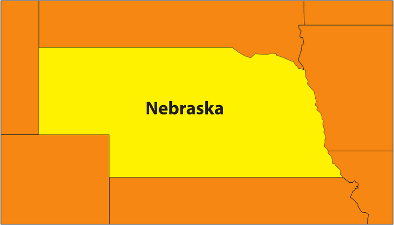
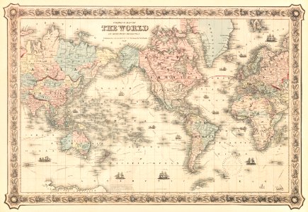
usa
old maps of indonesia
old maps of japan
19th-century maps of the caucasus
old maps of the middle east
maps by sebastian münster
old maps of crimea
old maps of calabria
old maps of malta
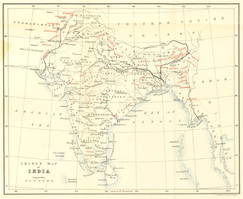
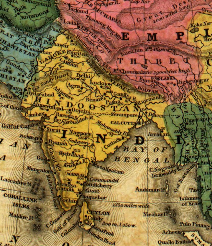
old maps of india
old maps of japan
david rumsey historical map collection
old maps of samegrelo
david rumsey historical map collection
old maps of samegrelo
old maps of bhutan
old maps of tibet
australia
maps
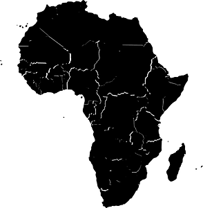
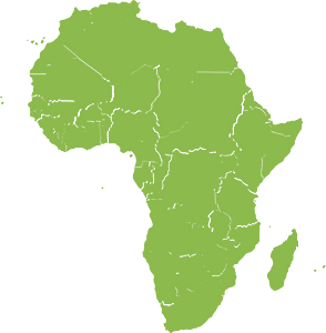
africa
maps
africa
maps
old maps of the british isles
coats of arms on maps
16th-century maps of the black sea
battista agnese
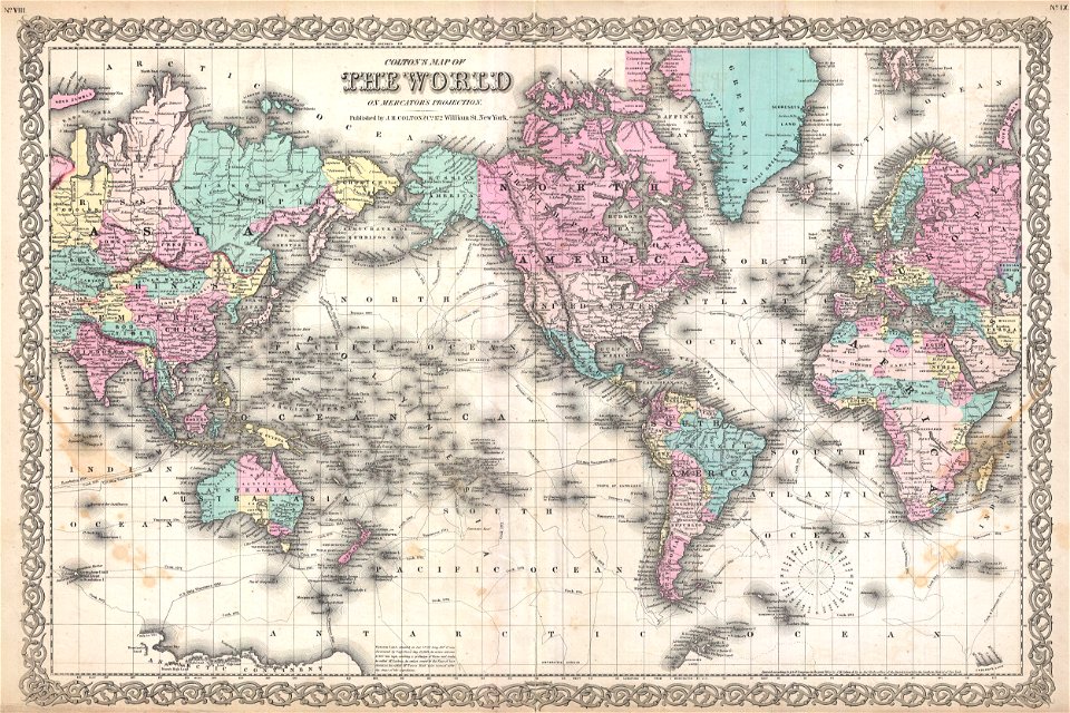
political maps of the world
1852
old maps of cameroon
old maps of liberia
17th-century maps of georgia
old maps of turkey
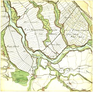
old maps of the danube
old maps of bohemia
hamburger
vierlande
vegetables
food
old maps of ladakh
qinghai lake
1747 persia map by emanuel bowen
maps in the library of congress
old maps of taiwan
1665
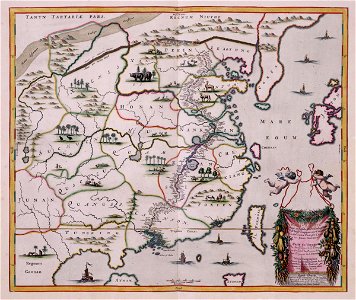
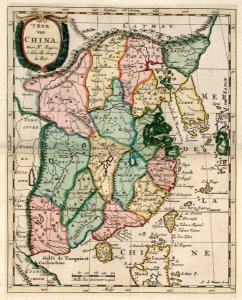
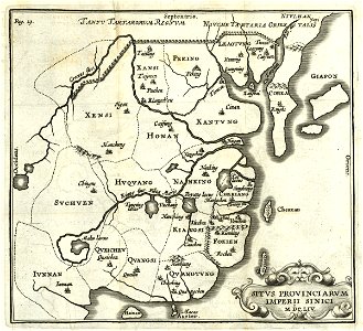
china in the 1700s
old maps of taiwan
maps
flag
maps showing 19th-century history
political maps of the world
globe
maps
prime meridian
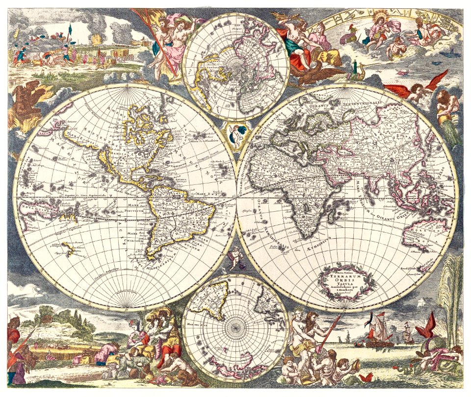
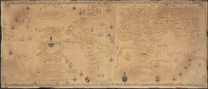
new world
david rumsey historical map collection
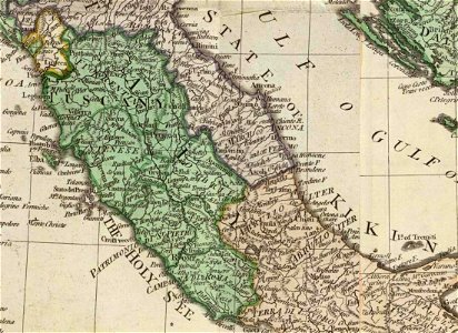
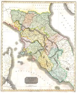
old maps of marche
old maps of guangzhou
maps by brockhaus
old maps of the middle east
1590 maps of iran
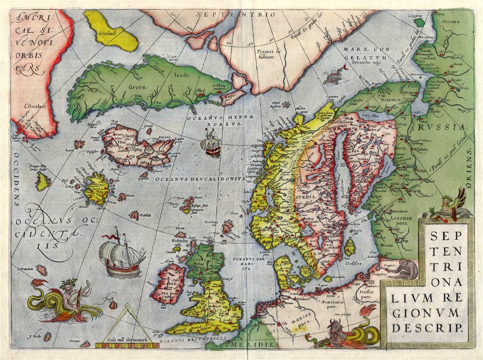
old maps of scandinavia
old maps of iceland
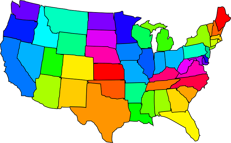
us states
maps
printing
maps
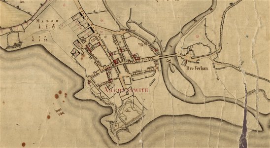
estate maps in the national library of wales
estate maps
vintage
maps
old maps of indonesia
old maps of japan
17th-century maps of china
old maps of korea
english-language maps of europe
maps by john thomson
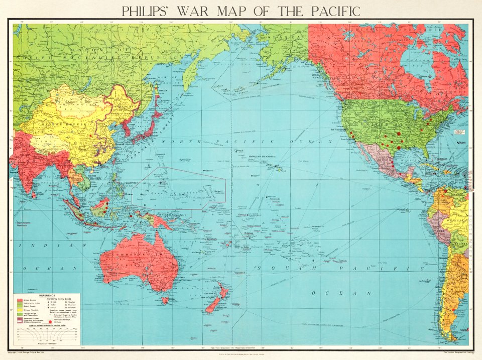
maps of world war ii in europe
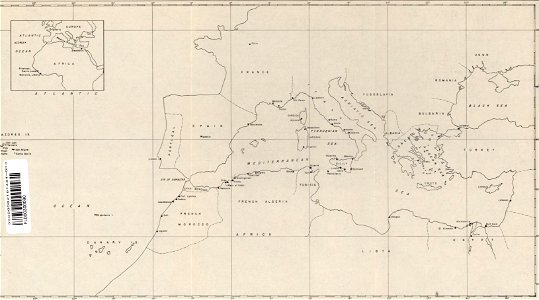
maps of the mediterranean sea
16th-century maps of georgia
maps by sebastian münster
cartography
maps
2601 - 2700 of 357,615
Next page
/ 3577