Log in
All resources
Create a design
357,615 Free Images of Map
pages with maps
cc-zero
quality images
quality images missing sdc depicts
quality images by jebulon
architecture
maps
david rumsey historical map collection
us states
facade
architecture
travel
self-published work
pages with maps
architecture
town
architecture
village
architecture
facade
celebrities
people
travel
city
self-published work
architecture
travel
city
water
boat
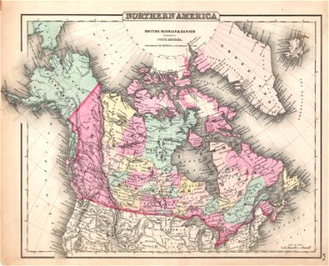
david rumsey historical map collection
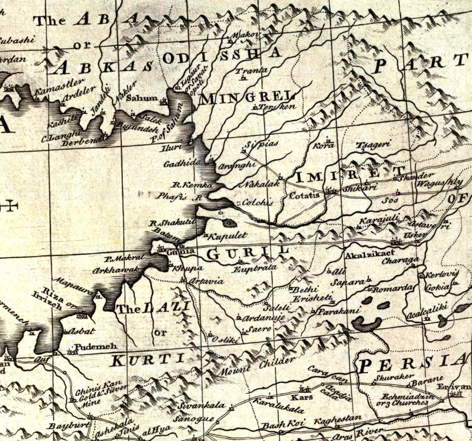
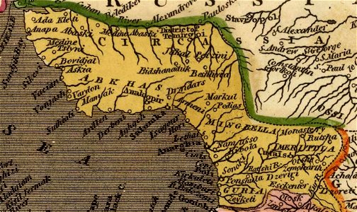
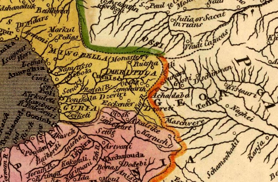
old maps of samegrelo
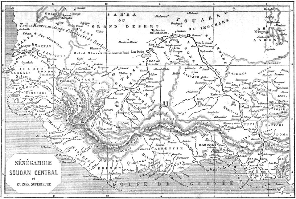
africa
maps
1870s maps of paris
1870 maps
old maps of upper austria
old maps of styria
old maps of saxony
1856 maps
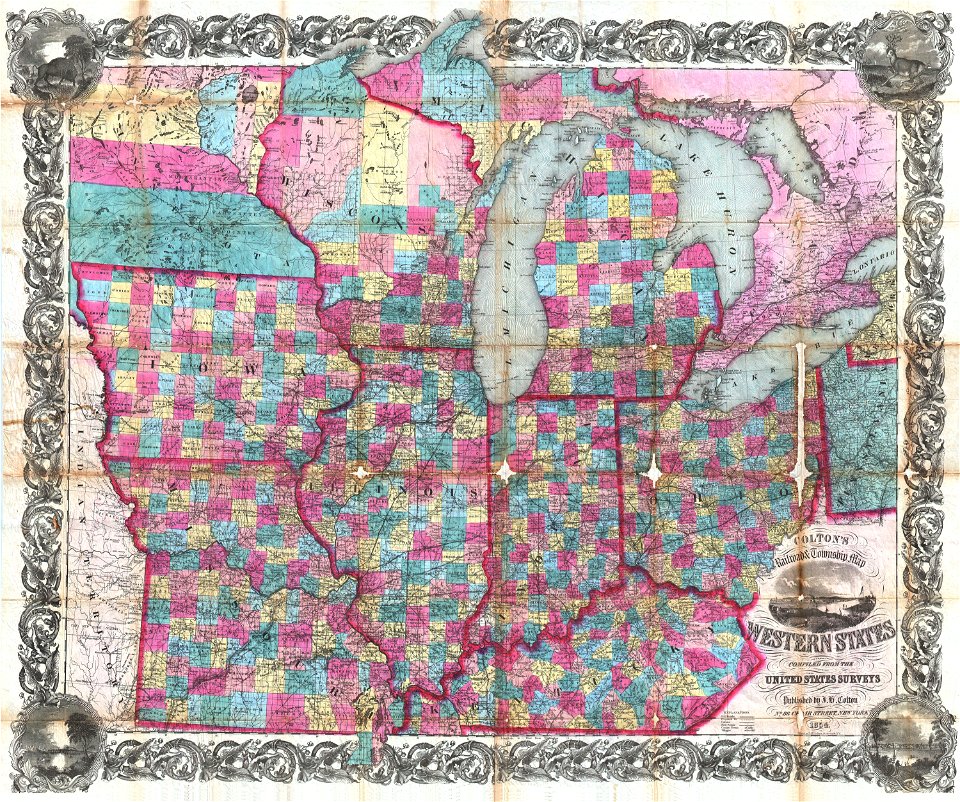
maps by joseph hutchins colton
1854 maps of ohio
old maps of guinea-bissau
old maps of mauretania
david rumsey historical map collection
j. and p. knapton
landscape
nature
architecture
facade
architecture
gothic gate
architecture
facade
architecture
facade
vehicle
water
architecture
facade
people of maracaibo
shopping
nature
spring
architecture
travel
architecture
travel
self-published work
pages with maps
architecture
facade
valued images of athens
self-published work
self-published work
pages with maps
architecture
travel
travel
city
cityscape
city
september 2014 in brazil
self-published work
self-published work
pavement
buildings in margarita island
facade
white rabbit
maracaibo
self-published work
pages with maps
ceramic plates
gold
self-published work
pages with maps
self-published work
pages with maps
landscape
water
churches in kymi-aliveri
avlonari
vehicle
water
self-published work
city
self-published work
architecture
summer
sea
self-published work
architecture
buses in the united kingdom photographed in april 2017
wtfpl
self-published work
pages with maps
architecture
facade
self-published work
2011 in rhodes
self-published work
pages with maps
valued images of athens
architecture
architecture
facade
sidewalk
city
nea artaki
blue
grey horse
army
david rumsey historical map collection
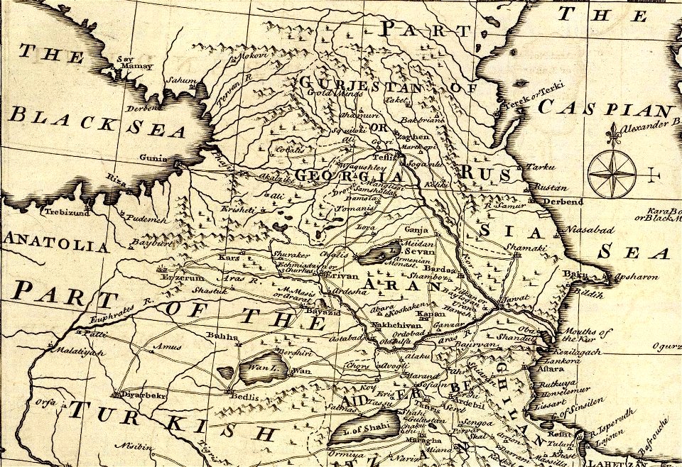
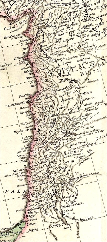
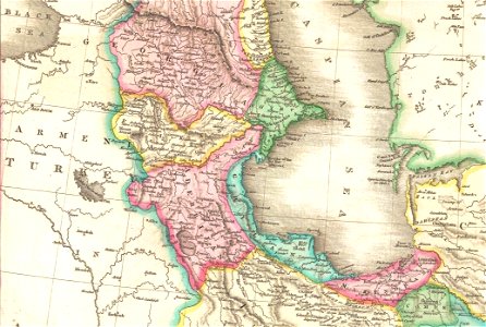
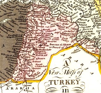
old maps of the middle east
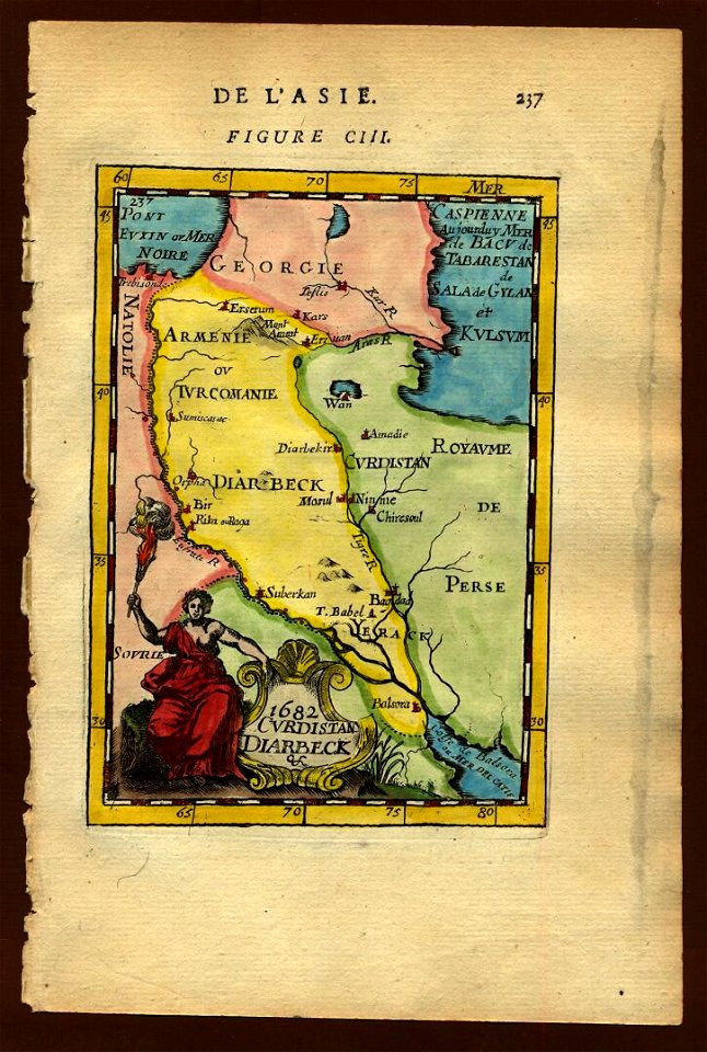
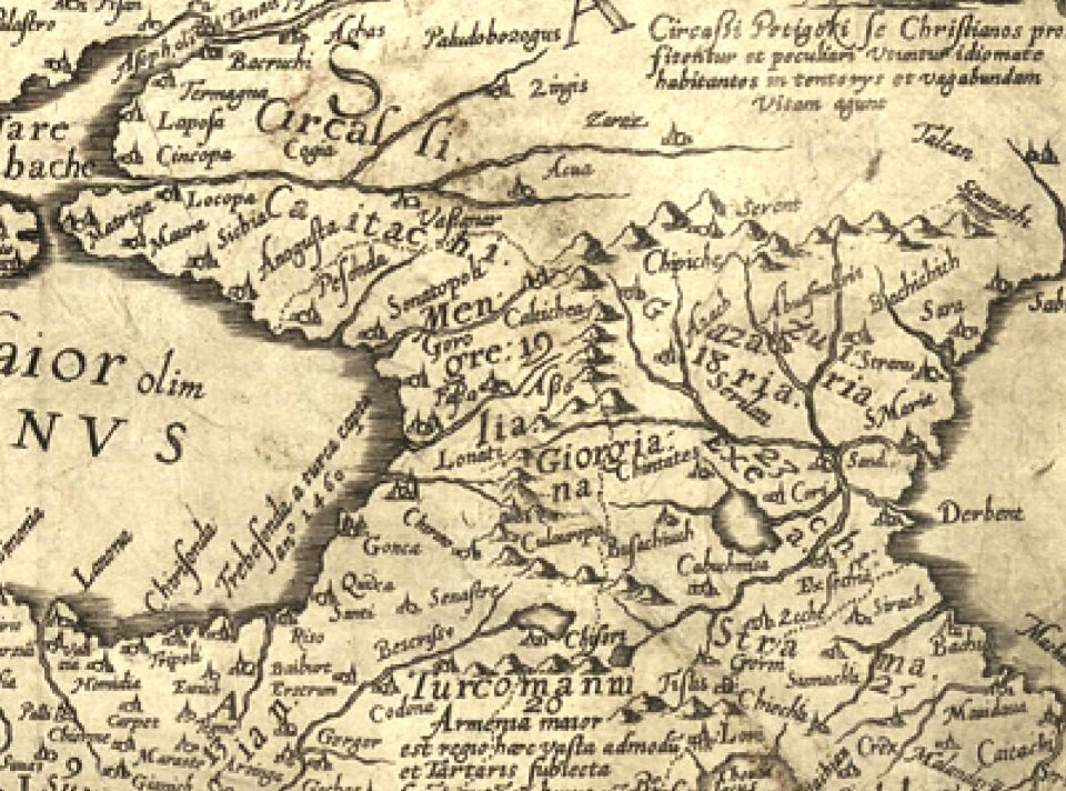
17th-century maps of the caucasus
old maps of the middle east
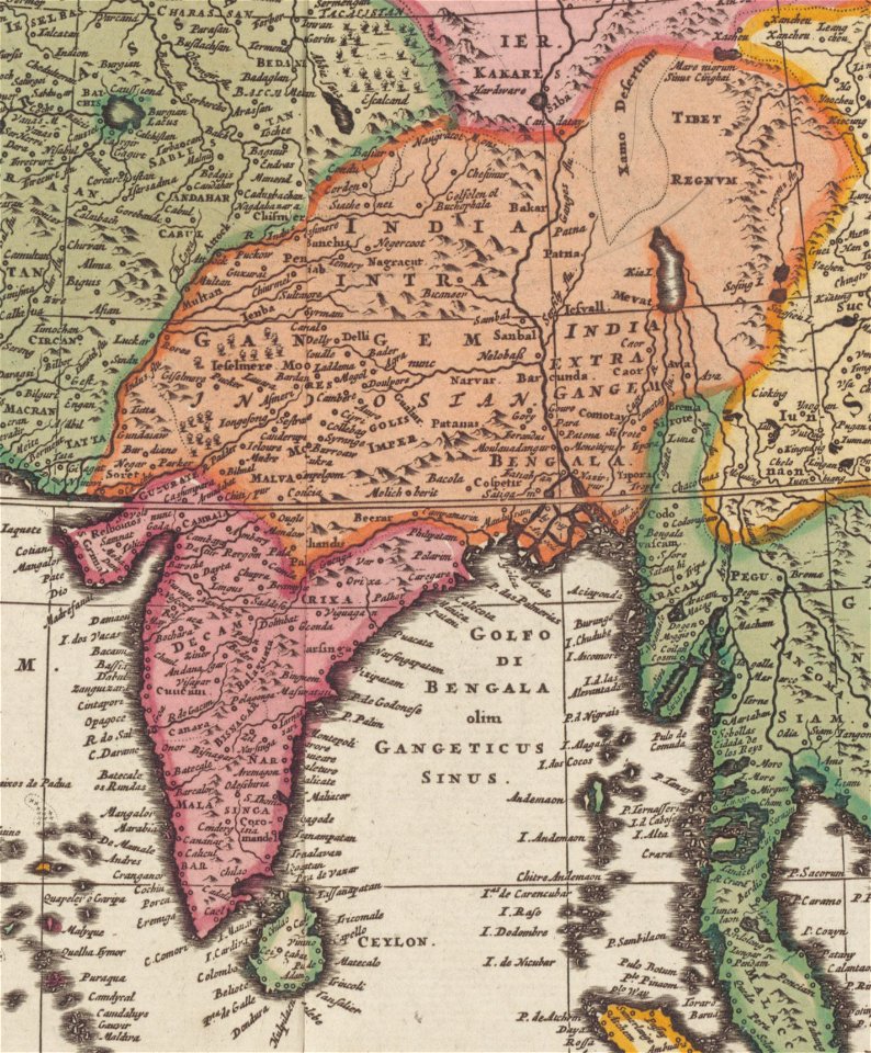
old maps of tibet
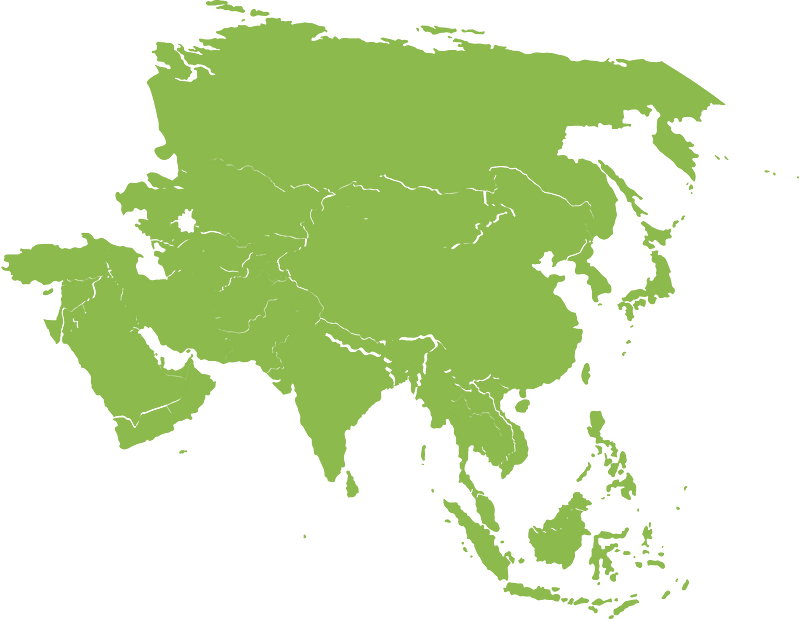
old maps of asia
old maps of the middle east
harvard university
david rumsey historical map collection
j. and p. knapton
david rumsey historical map collection
j. and p. knapton
coat of arms of germany
1642 maps of croatia
maps of the kingdom of galicia and lodomeria
maps by william faden
continent
maps
patterns
maps
continent
maps
old maps of greenland
old maps of canada
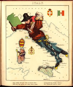
old maps of italy
pictorial maps
david rumsey historical map collection
jr
geography
maps
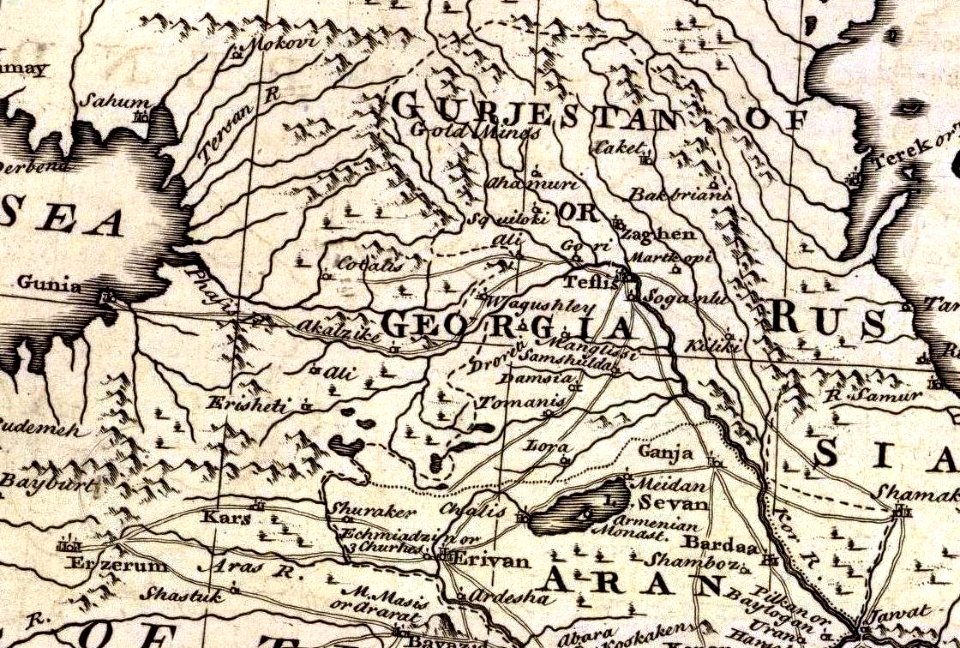
19th-century maps of the caucasus
english-language maps
us states
maps
us states
maps
continent
world map
us states
maps
us states
maps
us states
maps
us states
maps
us states
maps
us states
maps
countries
maps
continent
maps
us states
maps
countries
maps
us states
maps
j. and p. knapton
caspian sea
paintings by joseph dorffmeister in the kunsthistorisches museum
portrait paintings of ferdinand iii, grand duke of tuscany
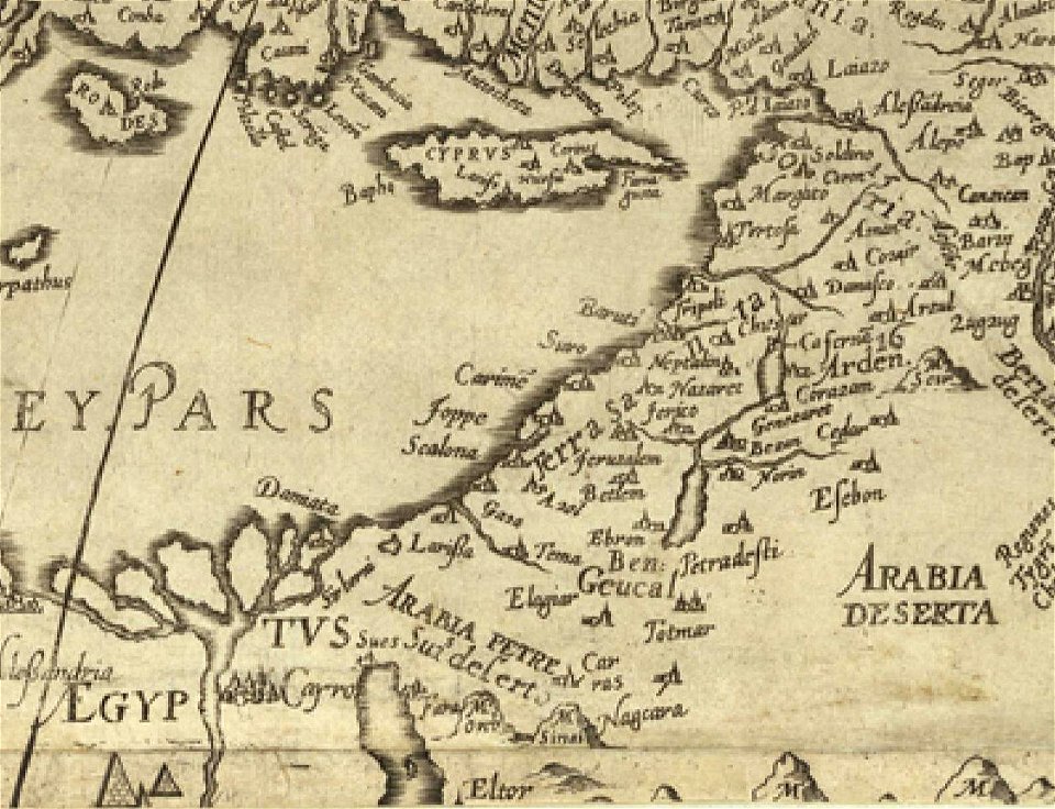
old maps of the middle east
old maps of greece
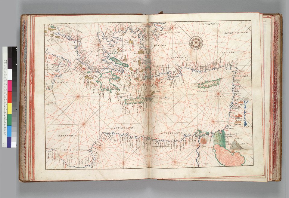
16th-century maps of the black sea
16th-century maps of georgia
david rumsey historical map collection
jr
latin-language maps
ships on maps
old maps of the middle east
jr
david rumsey historical map collection
old maps of the russian empire
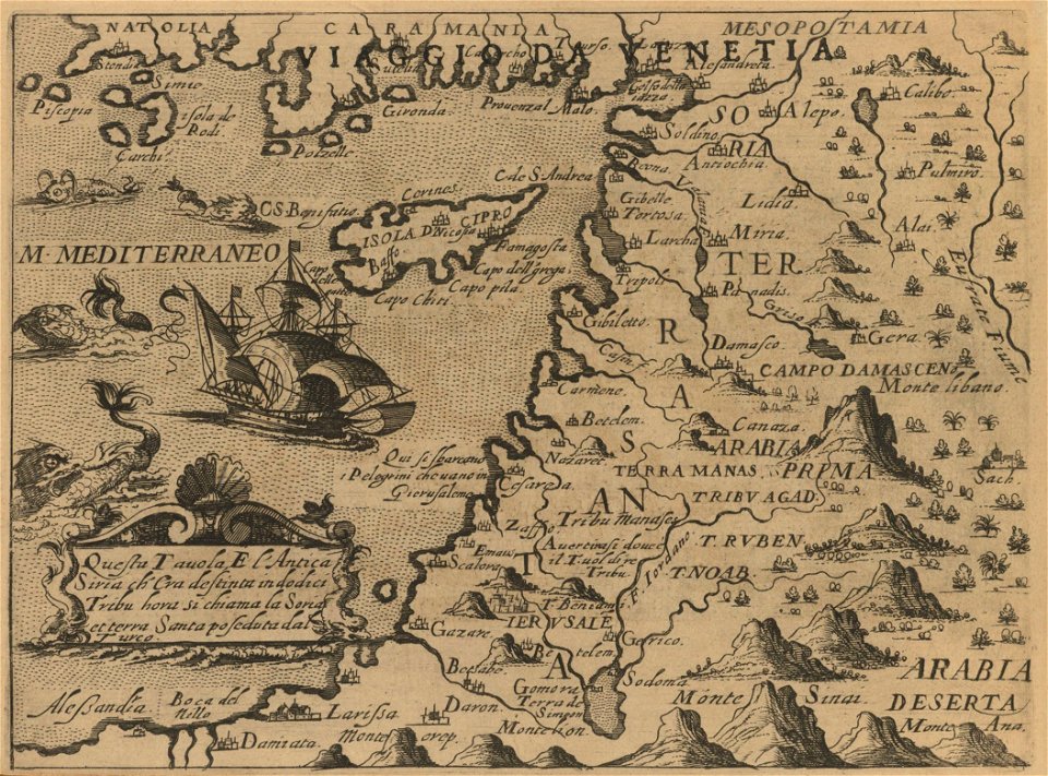
16th century maps of the middle east
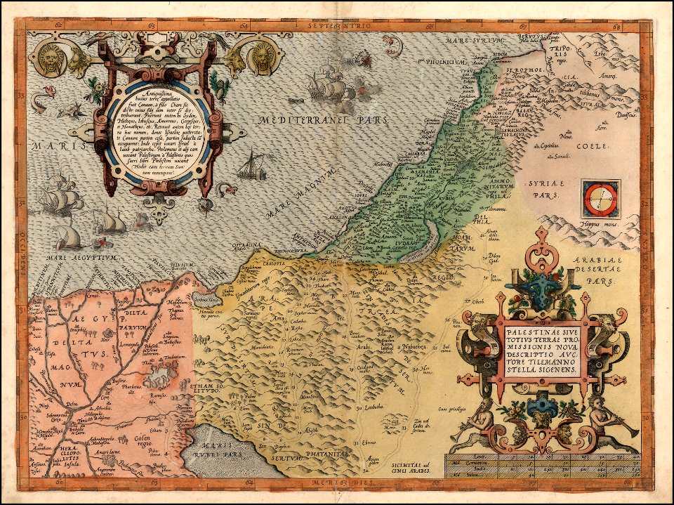
1590 maps of israel
2801 - 2900 of 357,615
Next page
/ 3577