Log in
All resources
Create a design
38,713 Free Artworks of Map
maps in the library of congress
tertiary history of the grand cañon district
..
with atlas
geographical illustrations by coronelli
1552
geographiae claudii ptolemaei alexandrini (münster
enzyklopädie des eisenbahnwesens
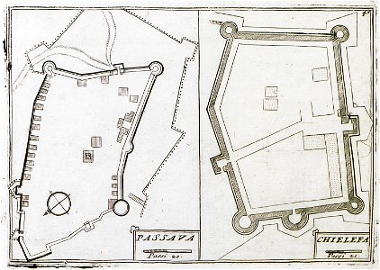
old maps of the peloponnese
engravings of topographia saxoniae inferioris
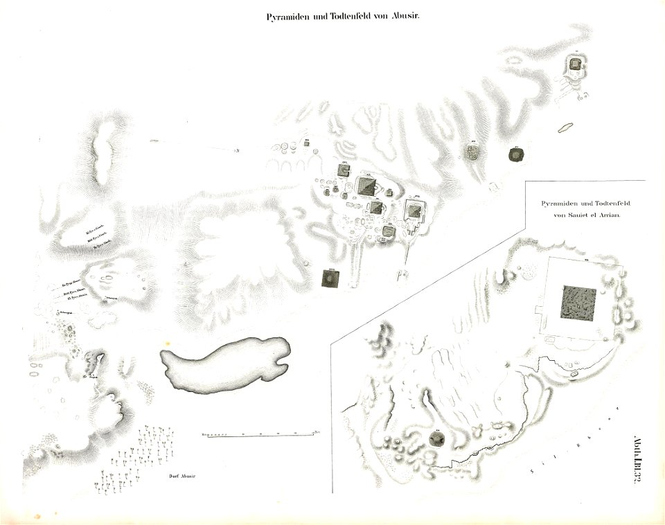
abusir pyramids
abusir
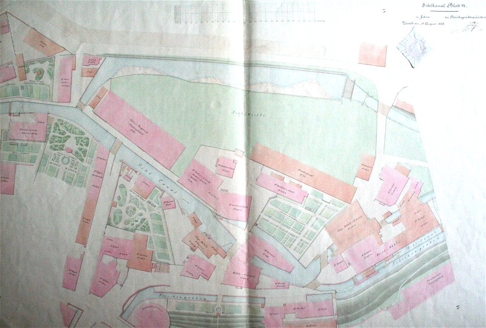
werdmühle (zürich)
zürich
drie aanmerkelyke reizen
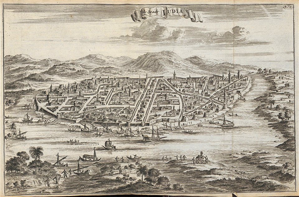
old maps of ayutthaya
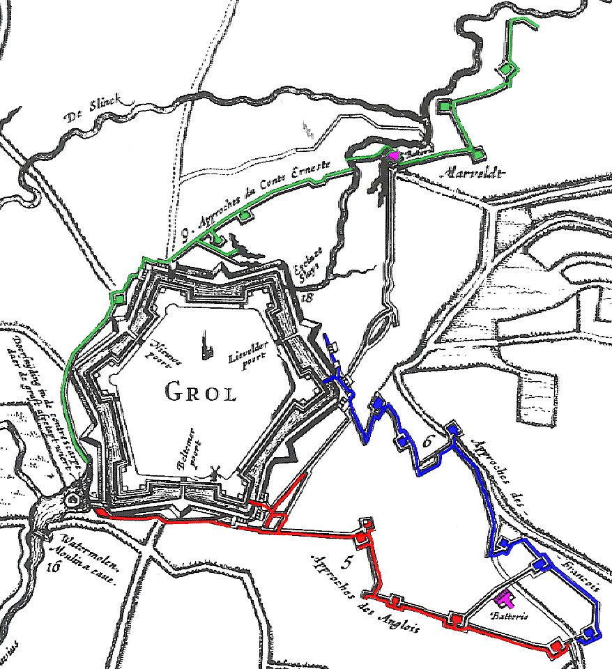
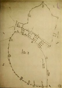
17th-century fortress plans
military trenches
maps of yamaguchi prefecture
nagato province
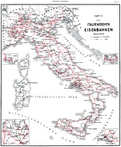
history of rail transport in italy
enzyklopädie des eisenbahnwesens
engravings of topographia saxoniae inferioris
old maps of bremen (state)
geographical illustrations by coronelli
history of the dodecanese
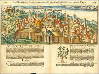
jerusalem in the 16th century
maps by sebastian münster
manuscripts in the houghton library
harvard university
geographical illustrations by coronelli
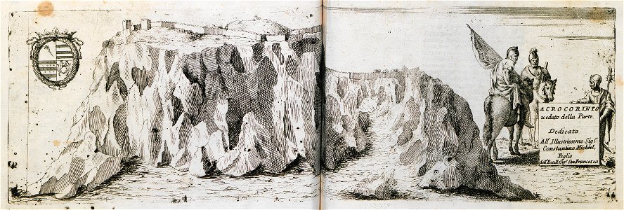
acrocorinth in art
atlantis magni tomus primus (biblioteca comunale di trento)
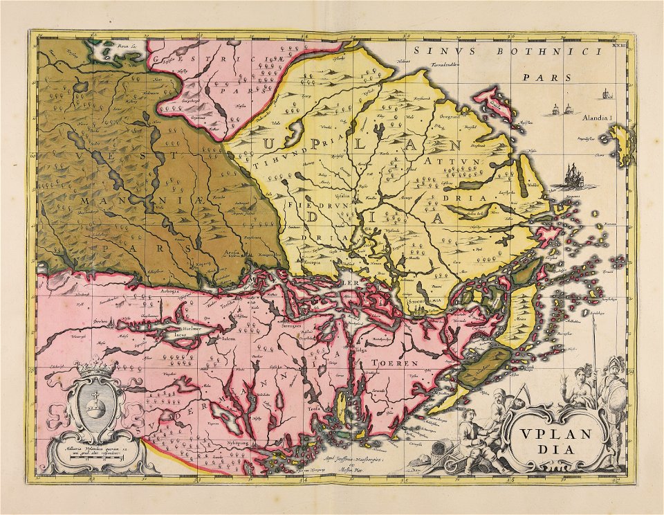
17th-century maps of sweden
engravings by william miller
geographical illustrations by coronelli
old maps of the peloponnese
bonds and shares of edhac members
mendrisio electric tramway
engravings of topographia saxoniae inferioris
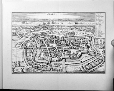
stadtbefestigung stade
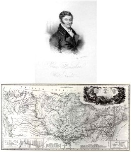
travels in the interior of north america
during the years 1832–1834
charts and maps of the royal museums greenwich
collection de la bibliothèque municipale de reims
old maps of aube
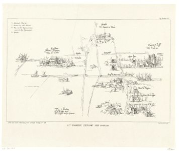
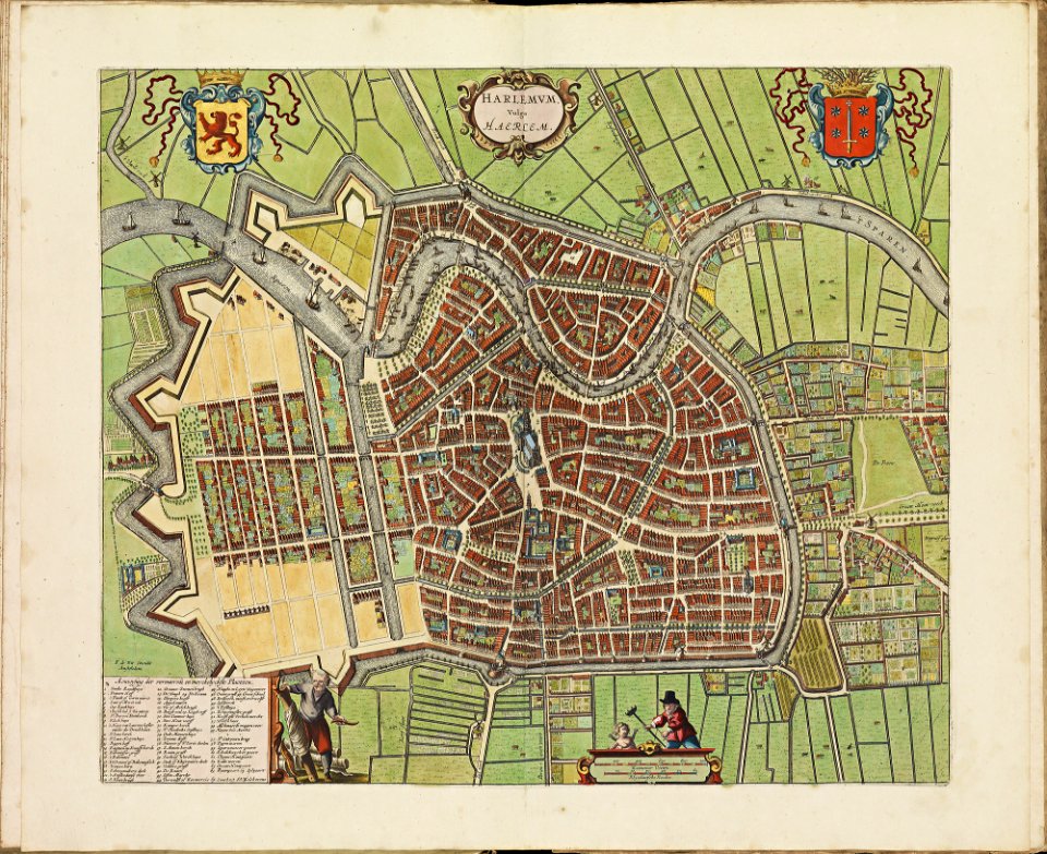
history of haarlem
huis ter kleef
illustrations from césar cascabel by george roux
19th-century maps of the americas
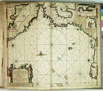
old maps of gibraltar
history of gibraltar
braun & hogenberg
maps of tours
geographical illustrations by coronelli
old maps of the peloponnese
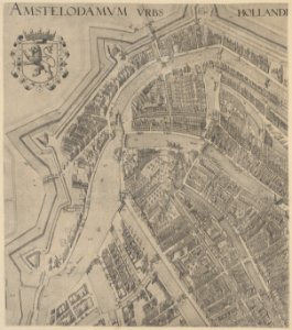
maps in the stadsarchief amsterdam
claes jansz. visscher (ii)
maps by gerardus mercator
mercator celestial globe
jacob le maire
1622
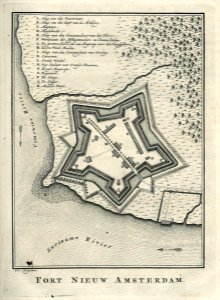
fort nieuw amsterdam
1770
maps of the dutch east india company - south africa
1726
„atlas coelestis in quo mundus spectabilis“ by j.b. doppelmayr
double hemisphere world maps
old maps of haarlem
atlas de wit 1698
groningen
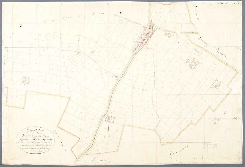
holwinde
mathenesse (mensingeweer)
maps of de marne
maps by antonio zatta
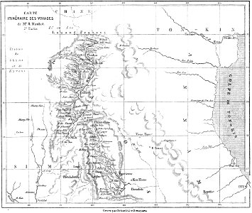
volume 8 of le tour du monde
old maps of thailand
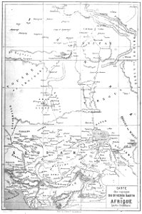
old maps of africa
heinrich barth
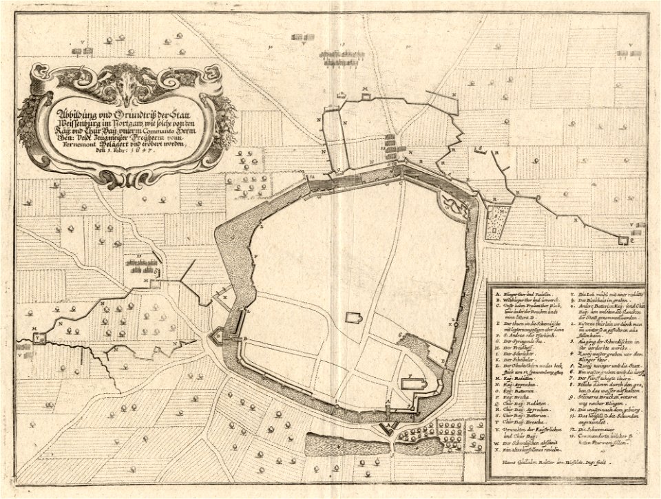
maps of landkreis weißenburg-gunzenhausen
engravings of theatrum europaeum
maps by gerardus mercator
mercator celestial globe
bird's eye view maps of missouri
albert ruger
prints from manesson travaux de mars at the peace palace library
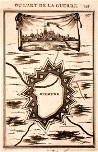
old maps of diksmuide
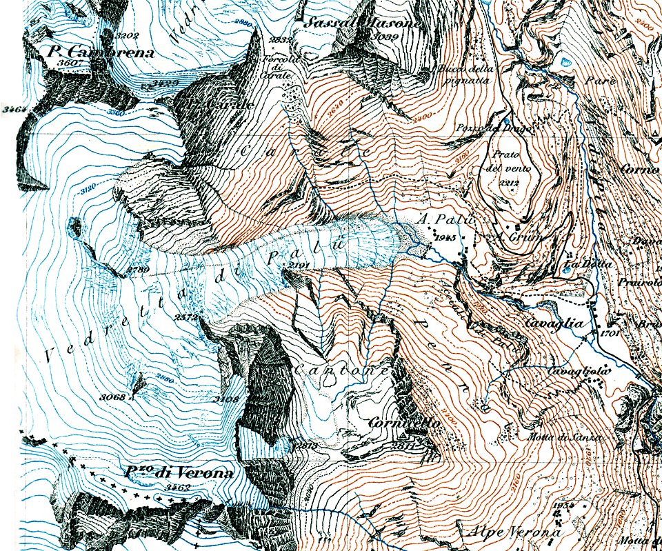
old maps of switzerland
piz varuna
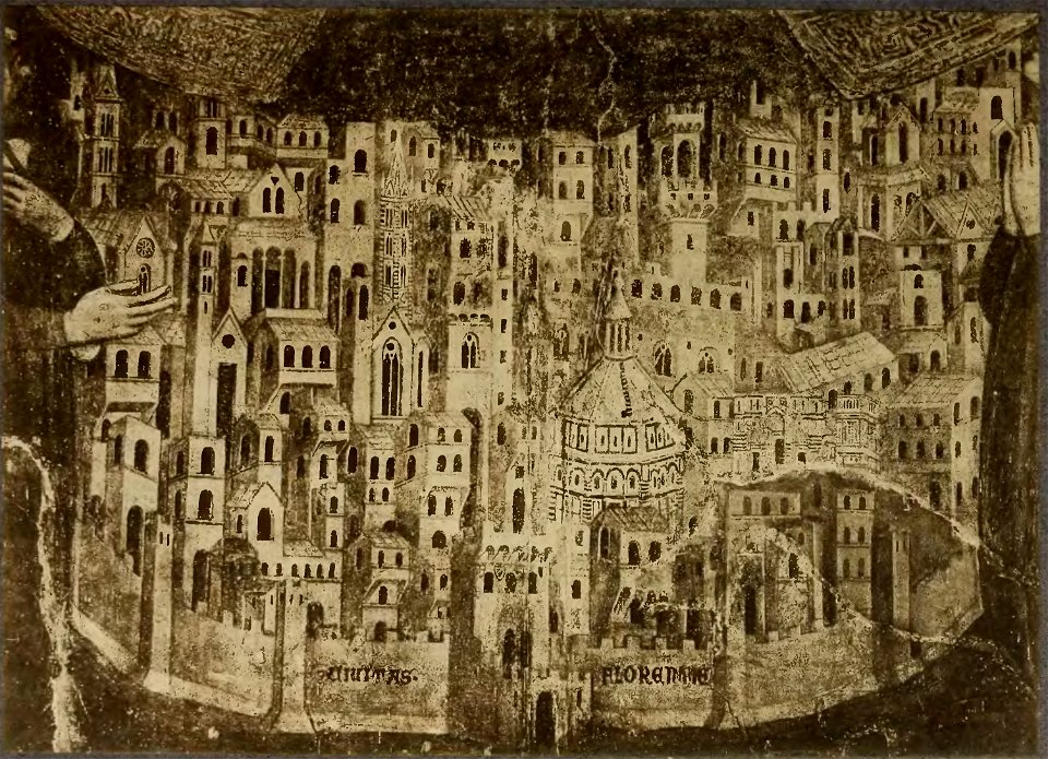
cento vedute di firenze antica
old maps of florence
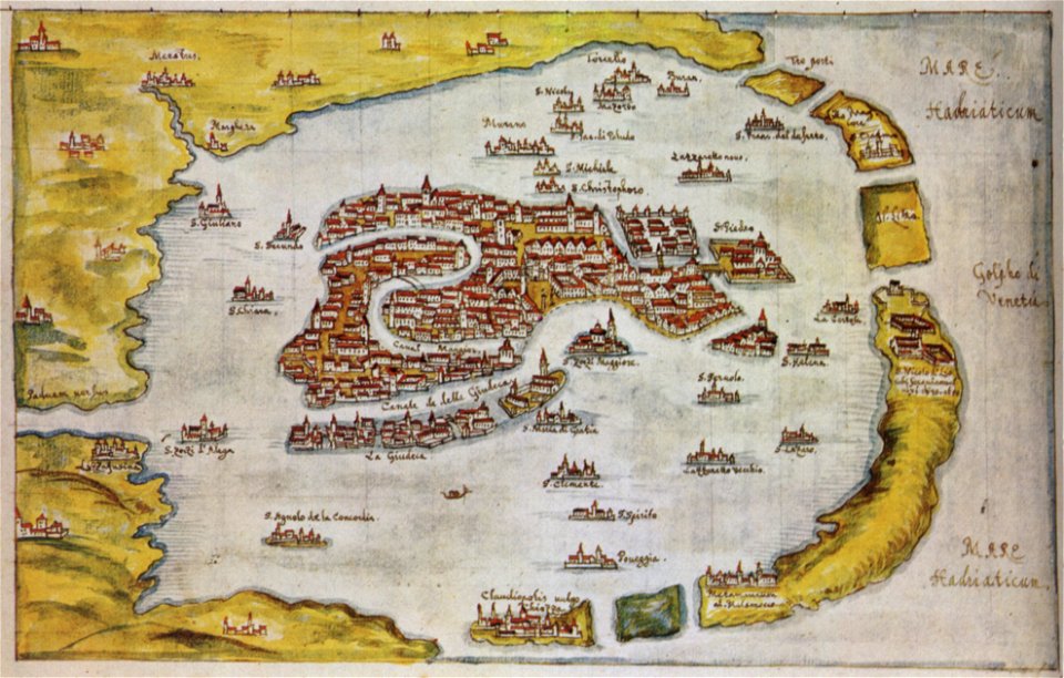
old maps of venice
gabriel bucelin
geographiae claudii ptolemaei alexandrini (münster
1552
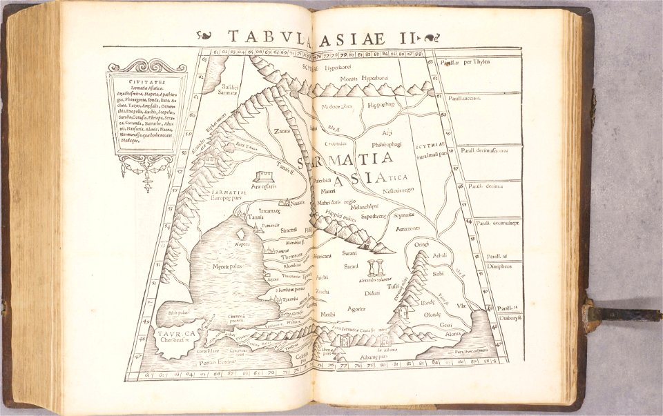
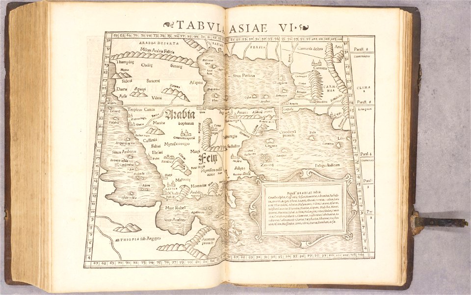
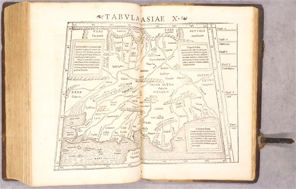
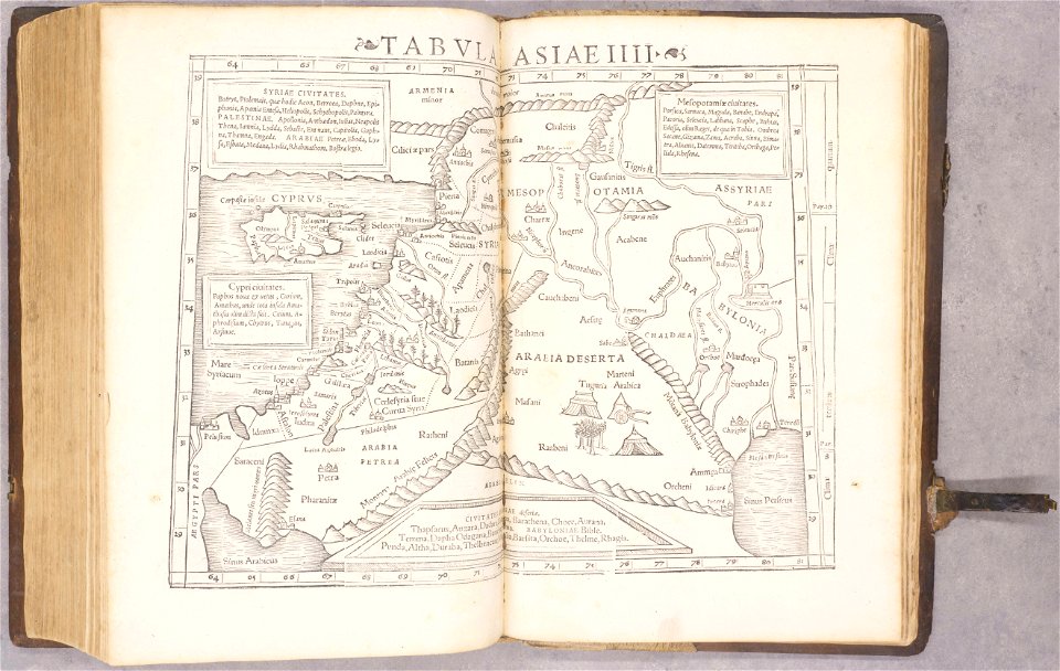
ptolemy's 6th asian map
1552
geographiae claudii ptolemaei alexandrini (münster
1552
geographiae claudii ptolemaei alexandrini (münster
1552
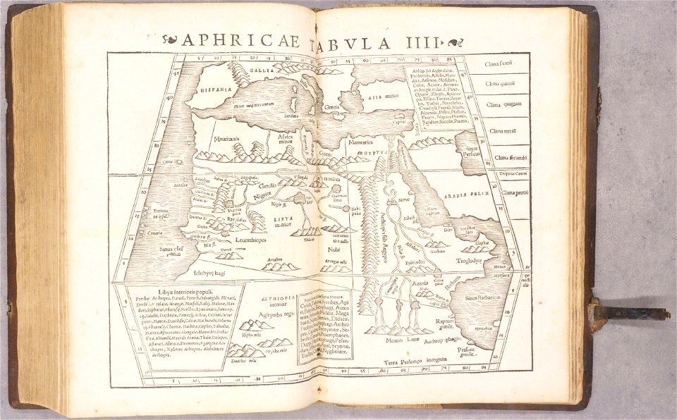
ptolemy's 4th african map
1552
geographiae claudii ptolemaei alexandrini (münster
1552
geographiae claudii ptolemaei alexandrini (münster
1552
geographiae claudii ptolemaei alexandrini (münster
1552
geographiae claudii ptolemaei alexandrini (münster
1552
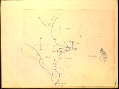
journal de relâches du croiseur ecole d'application l'iphigénie : campagne 1887-88
maps of dakar
cento vedute di firenze antica
old maps of florence
cento vedute di firenze antica
old maps of florence
collections de la bibliothèque nationale et universitaire de strasbourg
old maps of alsace
voyagie door italien
dalmatien
geographical illustrations by coronelli
old maps of the peloponnese
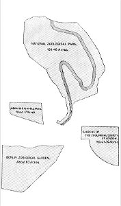
zoos in art
1896 maps
popular science monthly illustrations/volume 34
navigation compass
popular science monthly illustrations/volume 31
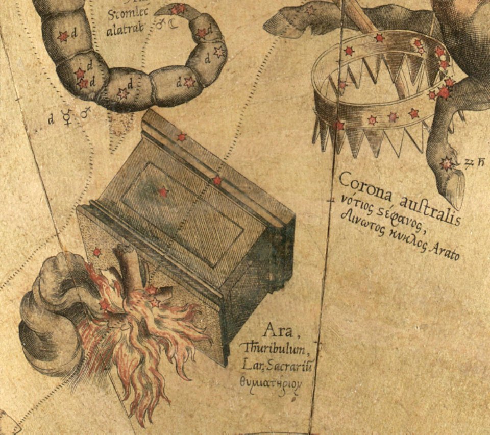
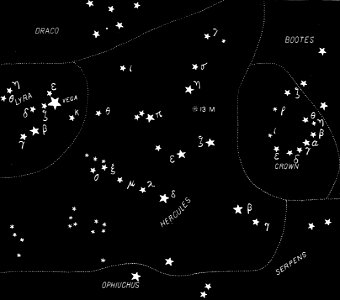
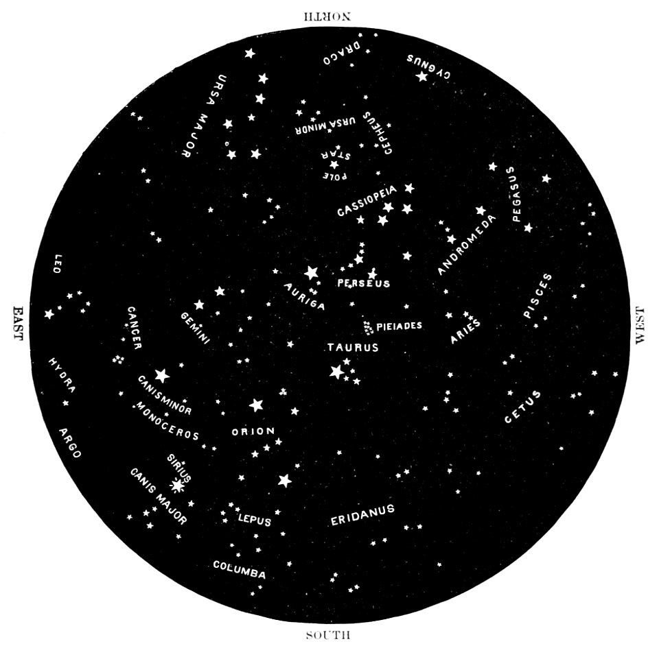
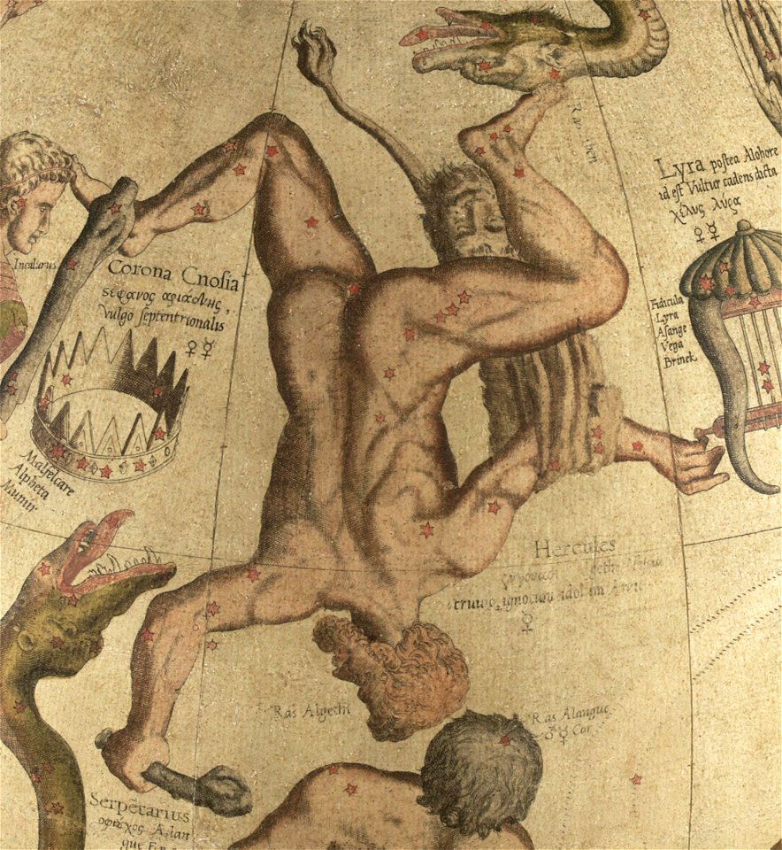
english-language constellation maps
popular science monthly illustrations/volume 32
astronomical maps
popular science monthly illustrations/volume 16
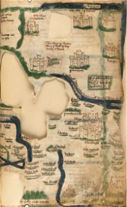
maps made in the 13th century
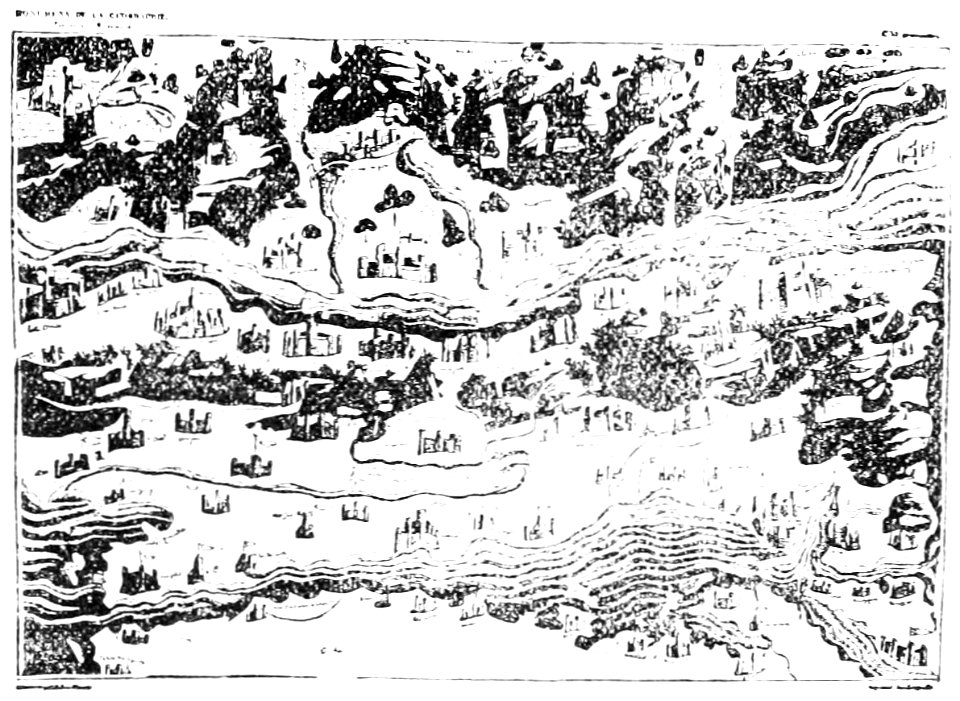
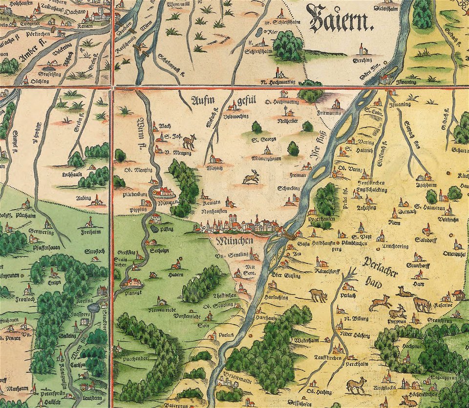
snippets of philipp apian's bairische landtafeln
old maps of boroughs in munich
history of rail transport in switzerland
rail transport maps of switzerland
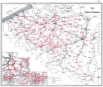
history of rail transport in belgium
enzyklopädie des eisenbahnwesens
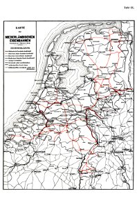
history of rail transport in the netherlands
enzyklopädie des eisenbahnwesens
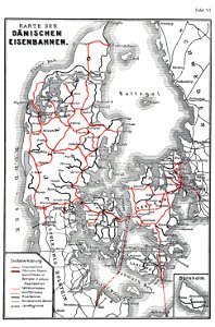
history of rail transport in denmark
enzyklopädie des eisenbahnwesens
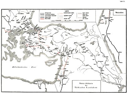
history of rail transport in turkey
enzyklopädie des eisenbahnwesens
files from the bodleian libraries
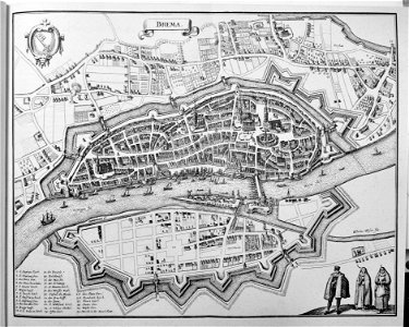
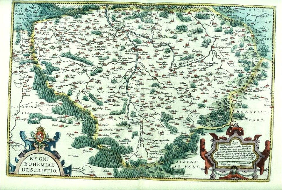
old maps of bohemia
maps by gerardus mercator
mercator celestial globe
geographical illustrations by coronelli
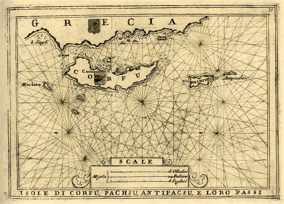
old maps of corfu
map of ferrara by andrea bolzoni
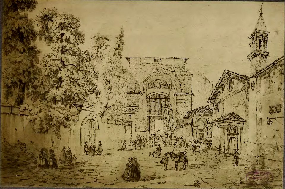
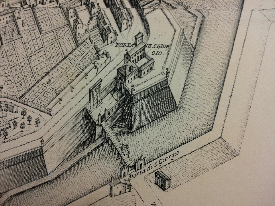
porta romana detta di s. giorgio
works by giovanni giacomo de rossi
sailing ships of the netherlands
maps with cartouches
covens en mortier
drawings (documentary) collection in the library of congress
engravings of topographia saxoniae inferioris
hildesheim in art
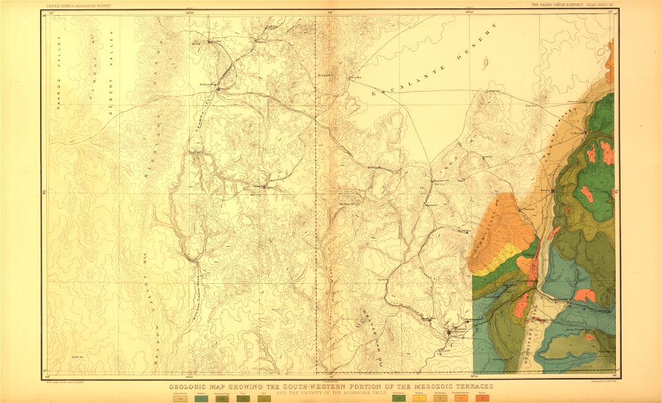
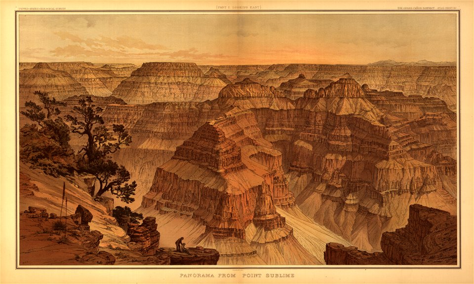
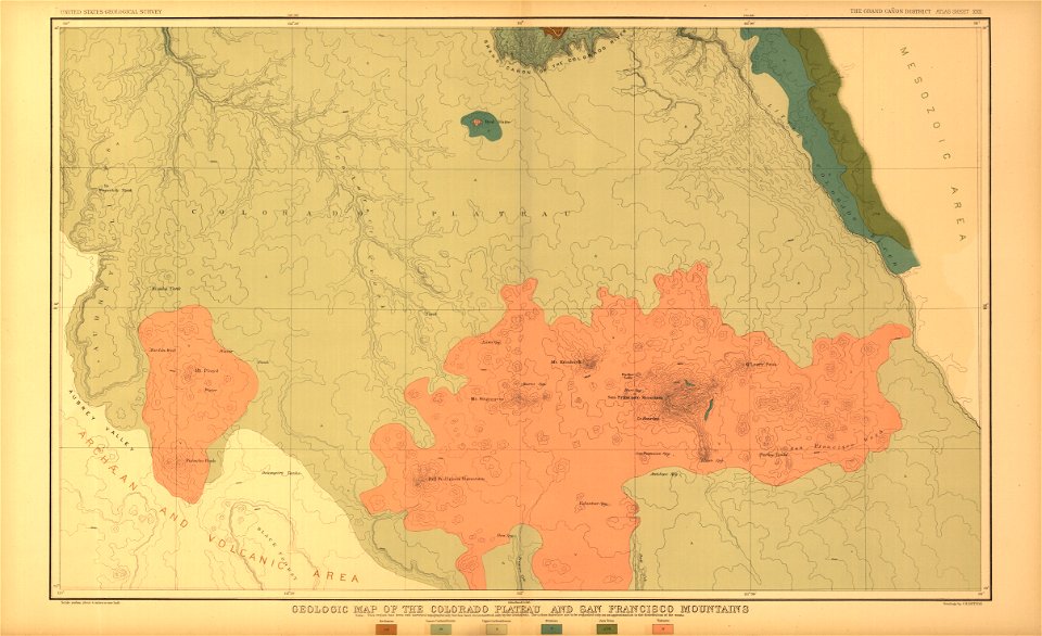
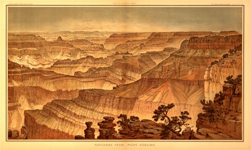
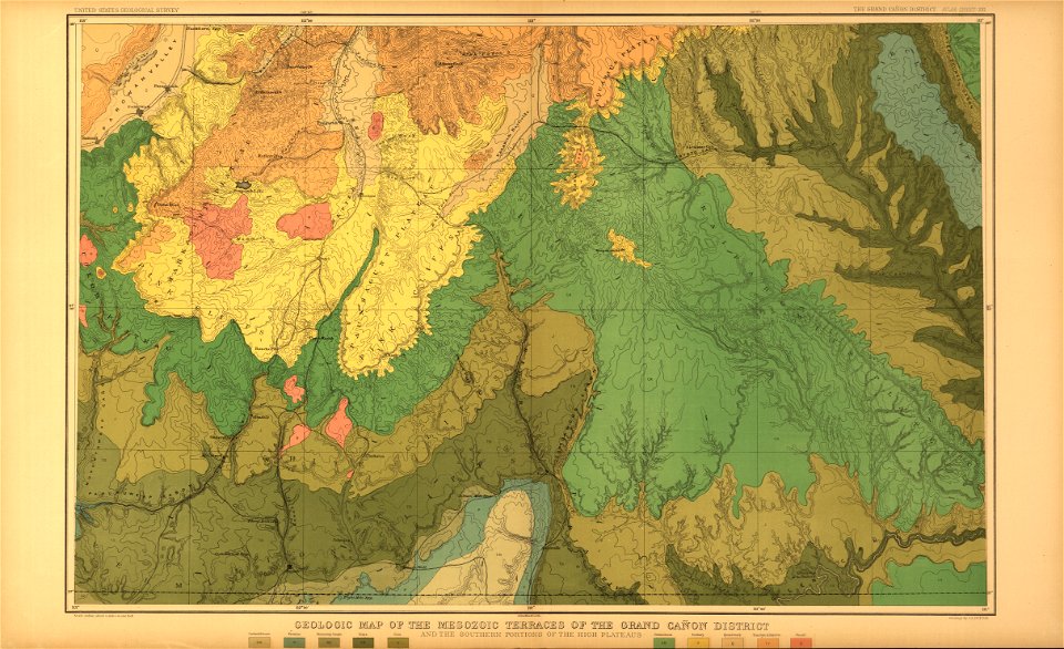
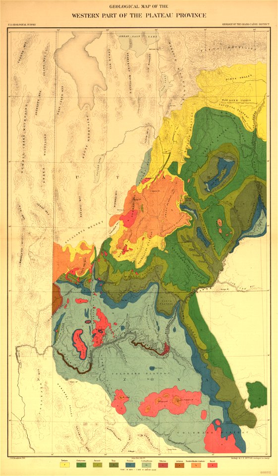
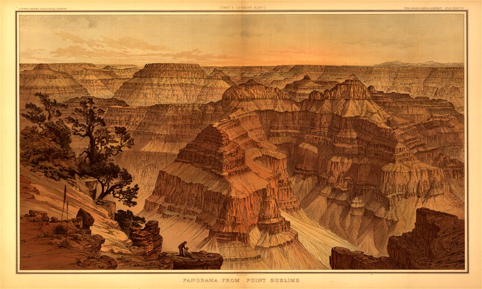
tertiary history of the grand cañon district
maps in the library of congress
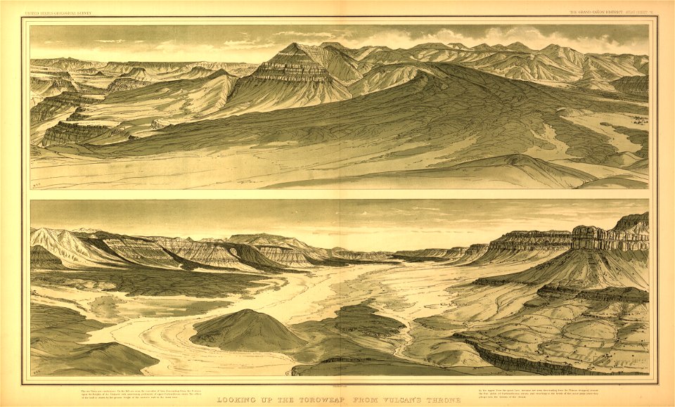
tertiary history of the grand cañon district
maps in the library of congress
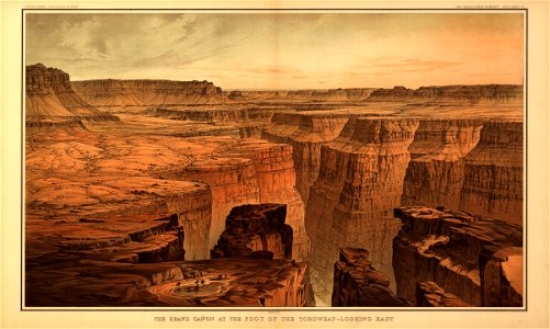
tertiary history of the grand cañon district
maps in the library of congress
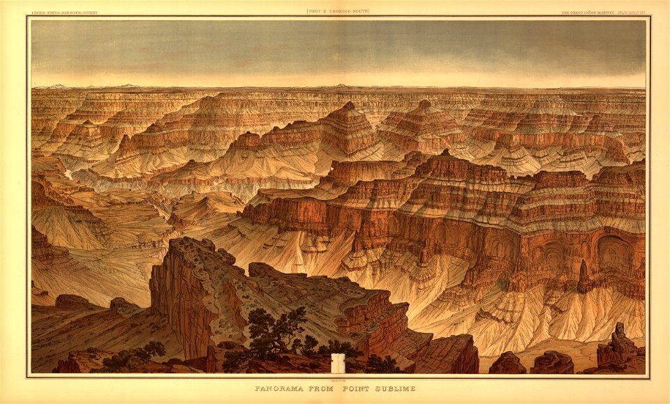
tertiary history of the grand cañon district
maps in the library of congress
tertiary history of the grand cañon district
maps in the library of congress
tertiary history of the grand cañon district
maps in the library of congress
tertiary history of the grand cañon district
maps in the library of congress
tertiary history of the grand cañon district
maps in the library of congress
tertiary history of the grand cañon district
maps in the library of congress
tertiary history of the grand cañon district
maps in the library of congress
tertiary history of the grand cañon district
maps in the library of congress
bibliothèque municipale de reims
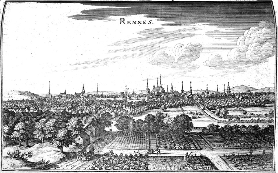
rennes in art
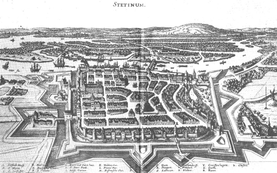
engravings by matthäus merian
szczecin
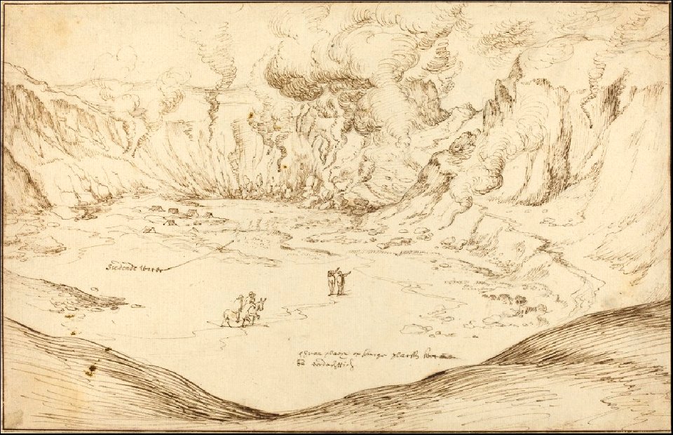
maps and topographical views by joris hoefnagel
drawings by joris hoefnagel
tertiary history of the grand cañon district
maps in the library of congress
tertiary history of the grand cañon district
maps in the library of congress
illustrations of cosmographia (münster)
battles in art
university of toronto wenceslas hollar digital collection
prints by wenzel hollar
henry william bunbury
printing
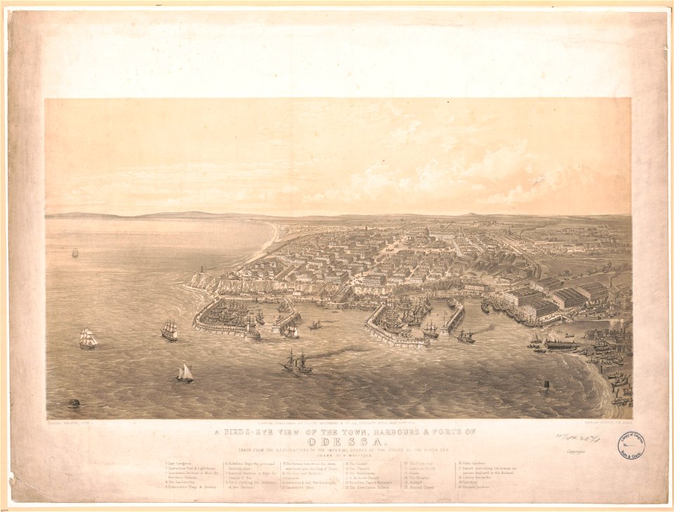
maps by george h. walker and company
history of odessa
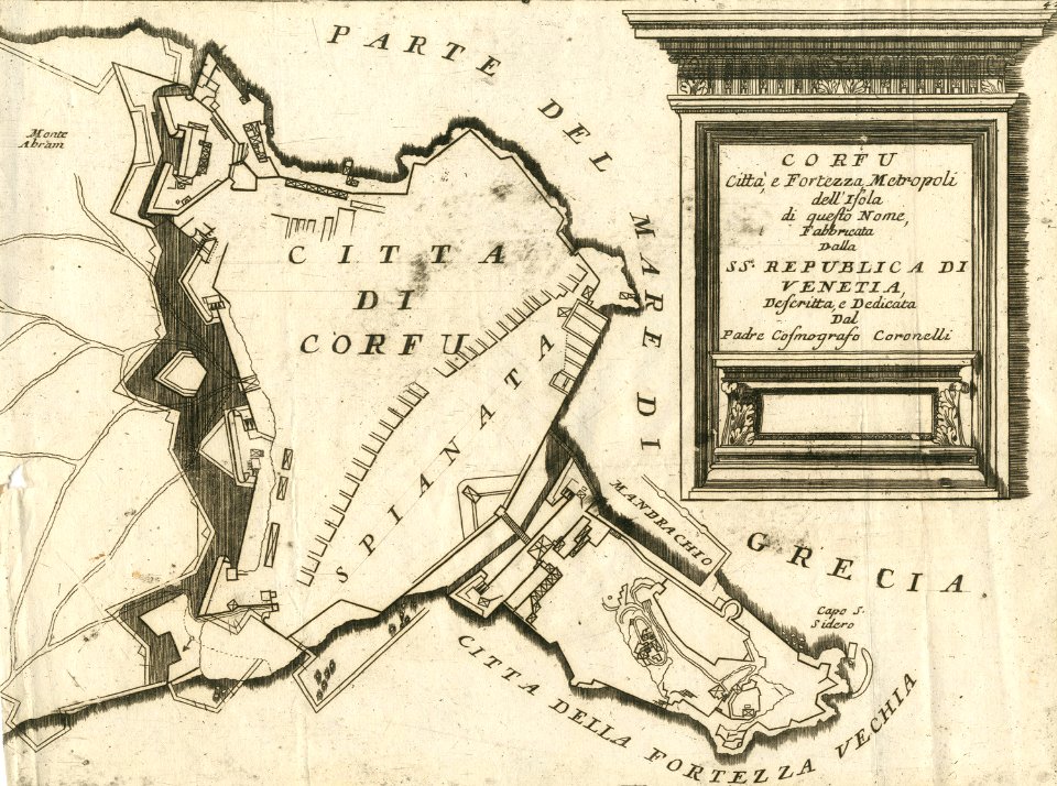
geographical illustrations by coronelli
maps of corfu town
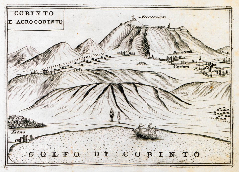
geographical illustrations by coronelli
remote views of acrocorinth
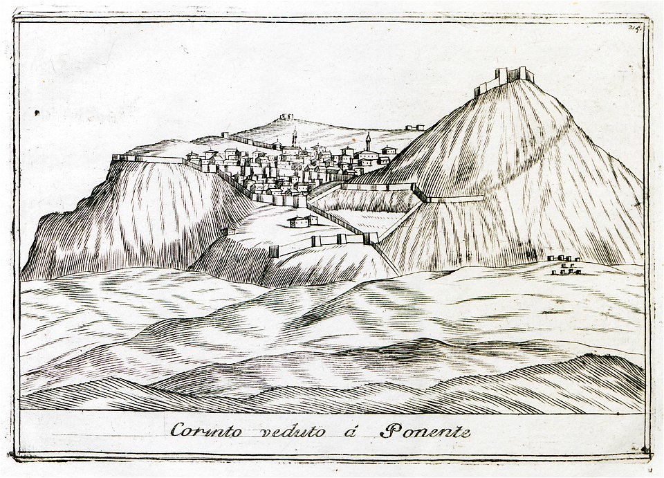
geographical illustrations by coronelli
remote views of acrocorinth
9201 - 9300 of 38,713
Next page
/ 388