Log in
All resources
Create a design
38,713 Free Artworks of Map
1552
geographiae claudii ptolemaei alexandrini (münster
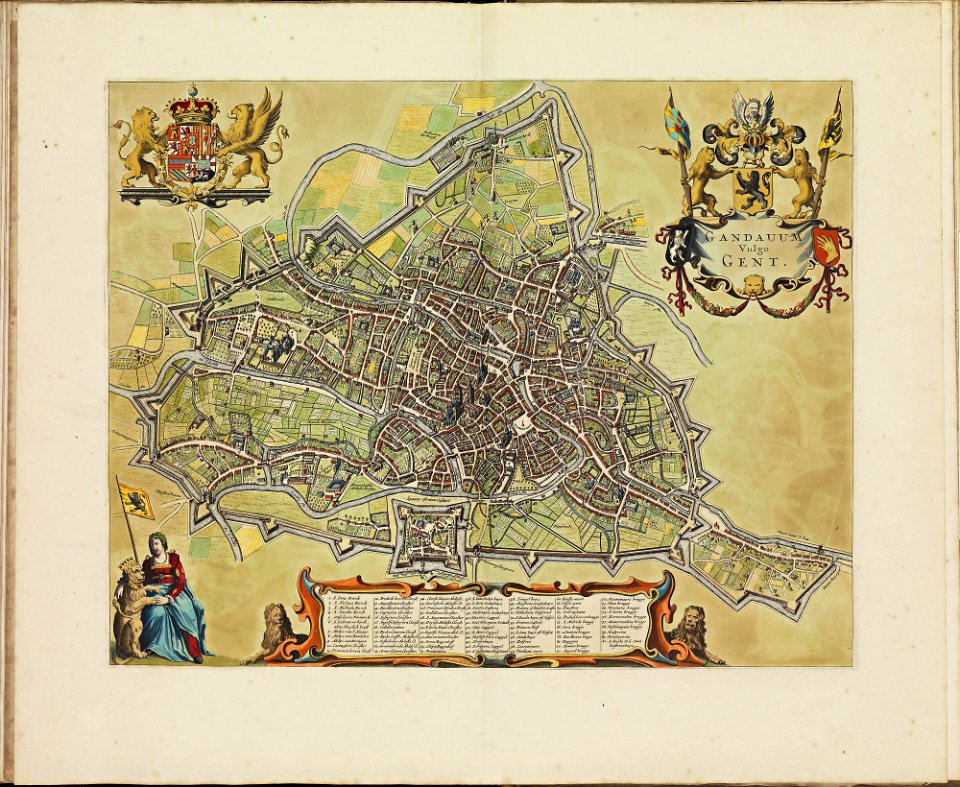
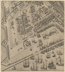
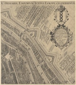
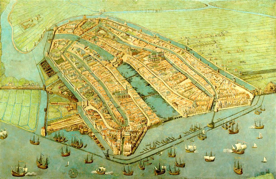
maps in the stadsarchief amsterdam
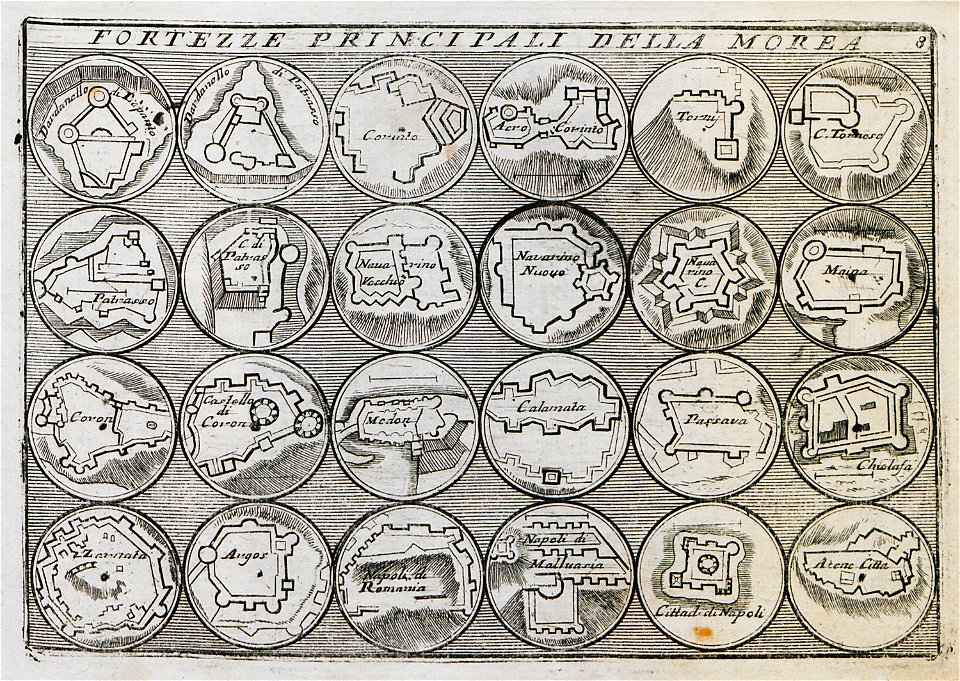
geographical illustrations by coronelli
old maps of the peloponnese
atlas de wit 1698
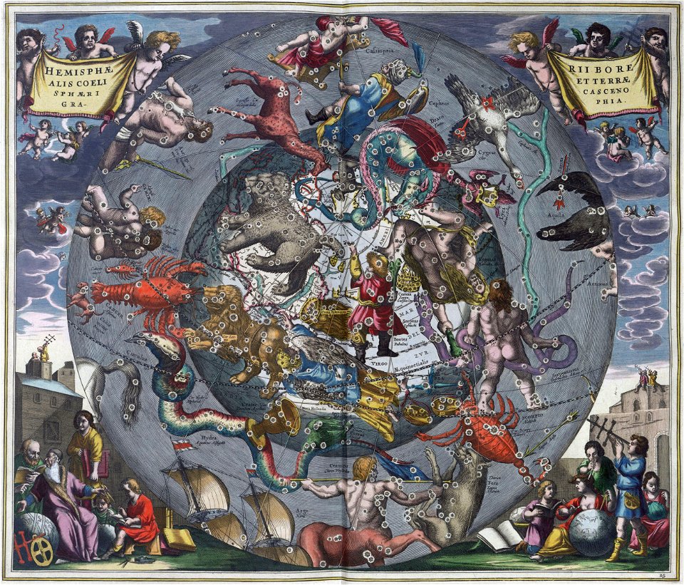
maps by gerardus mercator
mercator celestial globe
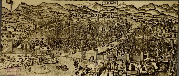
old maps of florence
cento vedute di firenze antica
maps in the stadsarchief amsterdam
hendrik de leth
old maps of zürich
zürich
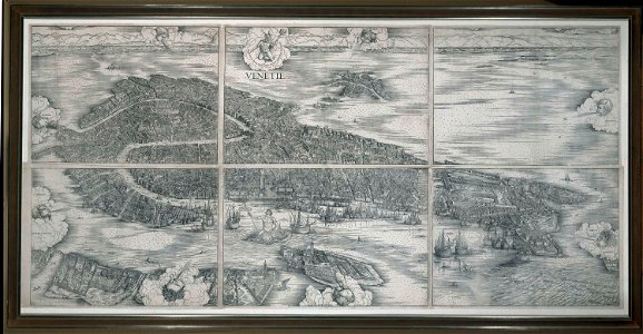
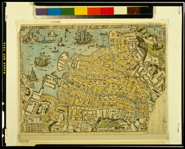
images of venice by jacopo de' barbari
maps in the rijksmuseum amsterdam
geographical illustrations by coronelli
old maps of the peloponnese
geographical illustrations by coronelli
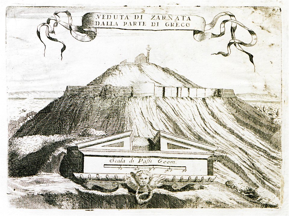
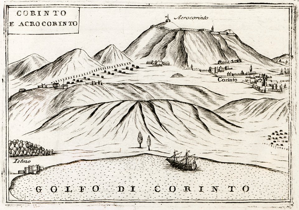
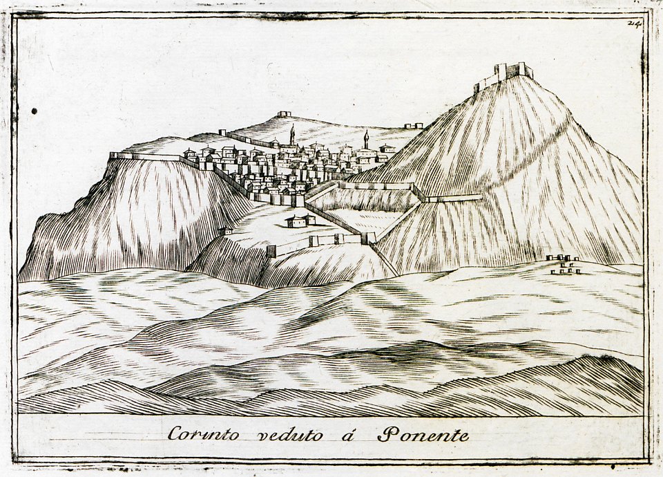
remote views of acrocorinth
geographical illustrations by coronelli
remote views of acrocorinth
maps in the stadsarchief amsterdam
claes jansz. visscher (ii)
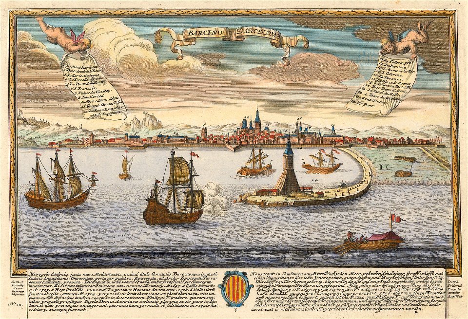
historical images of port of barcelona
maps by joseph friedrich leopold
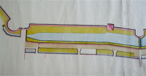
spanjaardenkasteel
atlas de wit 1698
old maps of bourbourg
atlas de wit 1698
atlas de wit 1698
netherlands
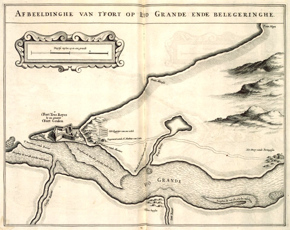
maps of the west-indische compagnie
1644
maps of the dutch east india company - south africa
1726
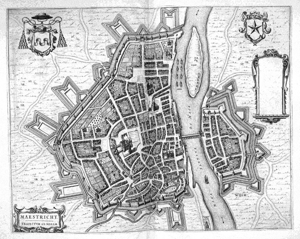
map of maastricht by willem and johannes blaeu (1649)
atlas beudeker
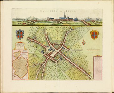
old maps of bailleul (nord)
atlas de wit 1698
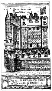
images from bristol past and present (1882)
history of bristol
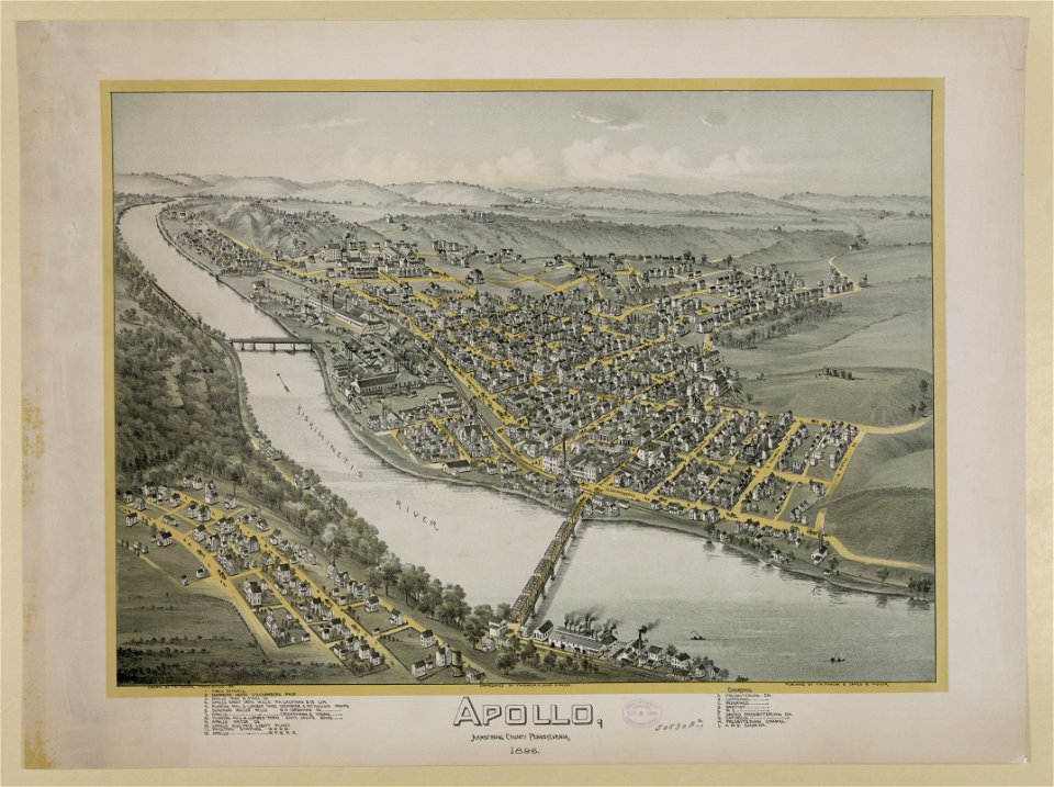
pennsylvania
apollo
geographical illustrations by coronelli
old maps of the peloponnese
geographical illustrations by coronelli
history of the dodecanese
maps by frederick de wit
copper engraving
northern hemisphere
maps with figures
northern hemisphere
maps with figures
prints from marana espion turc at the peace palace library
maps of the dardanelles
prints from marana espion turc at the peace palace library
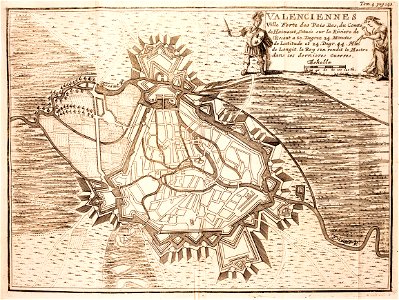
maps of valenciennes
paintings of hunting
maps in art
the central alps ... being the second part of the alpine guide ... new edition (with maps) by ball
john - president of the alpine club
prints from manesson travaux de mars at the peace palace library
old maps of toul
koninklijk nederlands aardrijkskundig genootschap
intaglio (printmaking)
volume 1 of le tour du monde
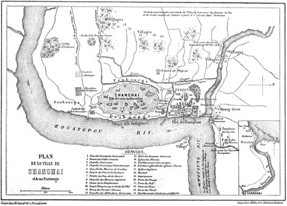
old maps of shanghai
les anciens couvents de lyon
16th-century maps of lyon
ukiyo-e by unknown artists
nagasaki-e
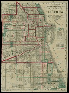
chicago and the midwest
newberry library
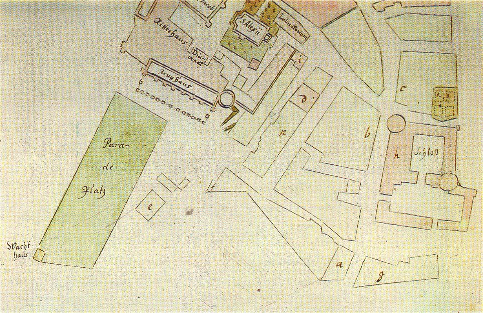
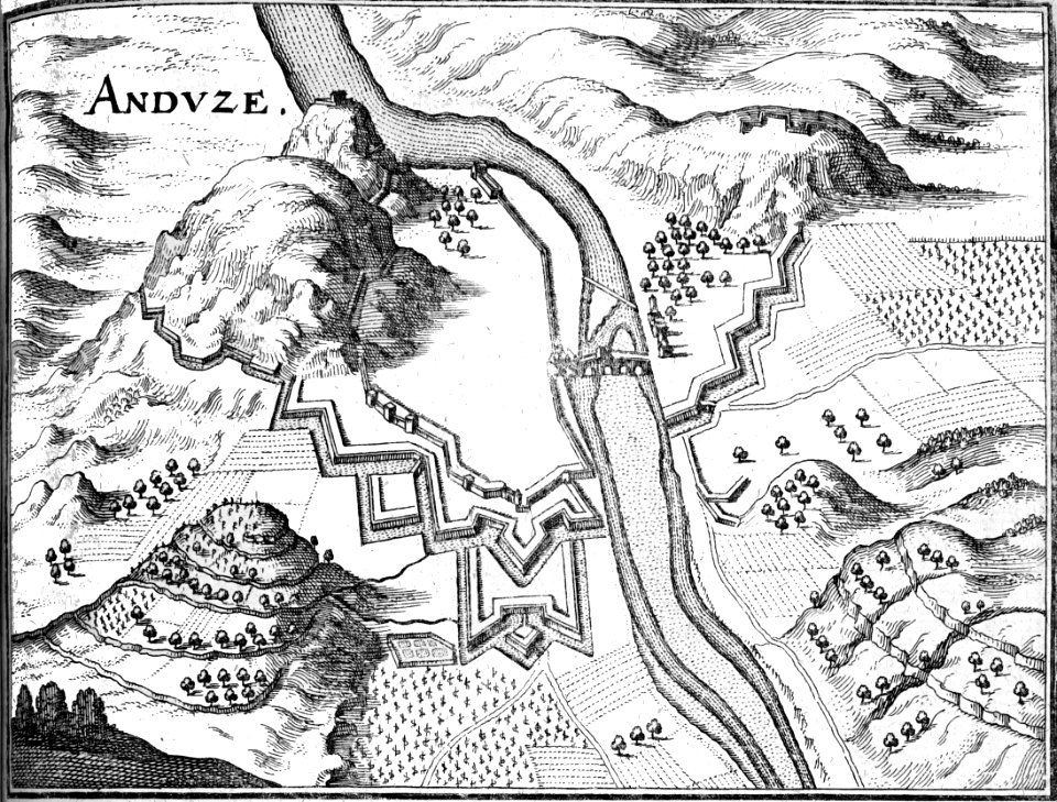
18th-century fortress plans
maps by matthäus seutter
maps of lars kietzlingh
källtorpssjön
maps by gerardus mercator
mercator celestial globe
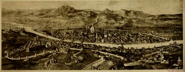
cento vedute di firenze antica
old maps of florence
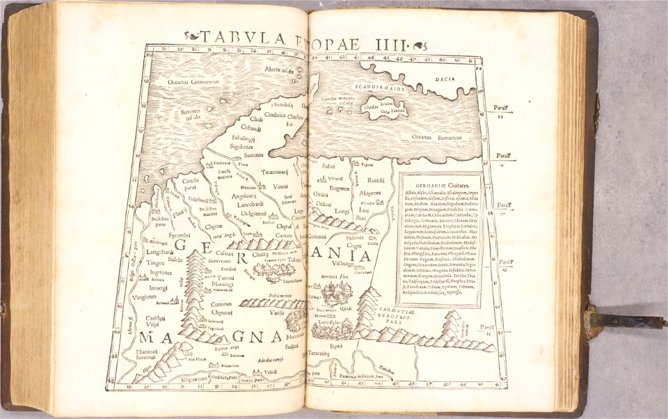
ptolemy's 4th european map
1552
ptolemy's 8th european map
1552
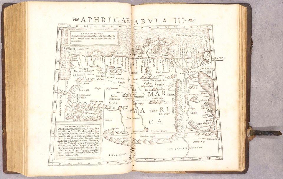
ptolemy's 2nd african map
1552
geographiae claudii ptolemaei alexandrini (münster
1552
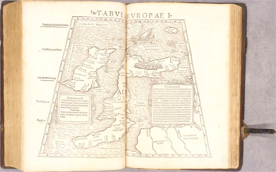
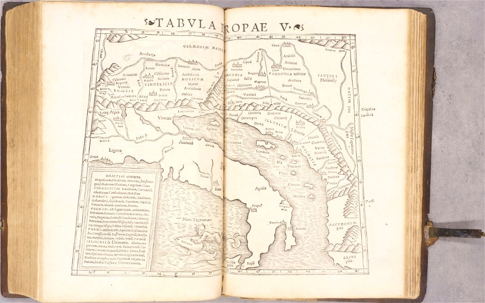
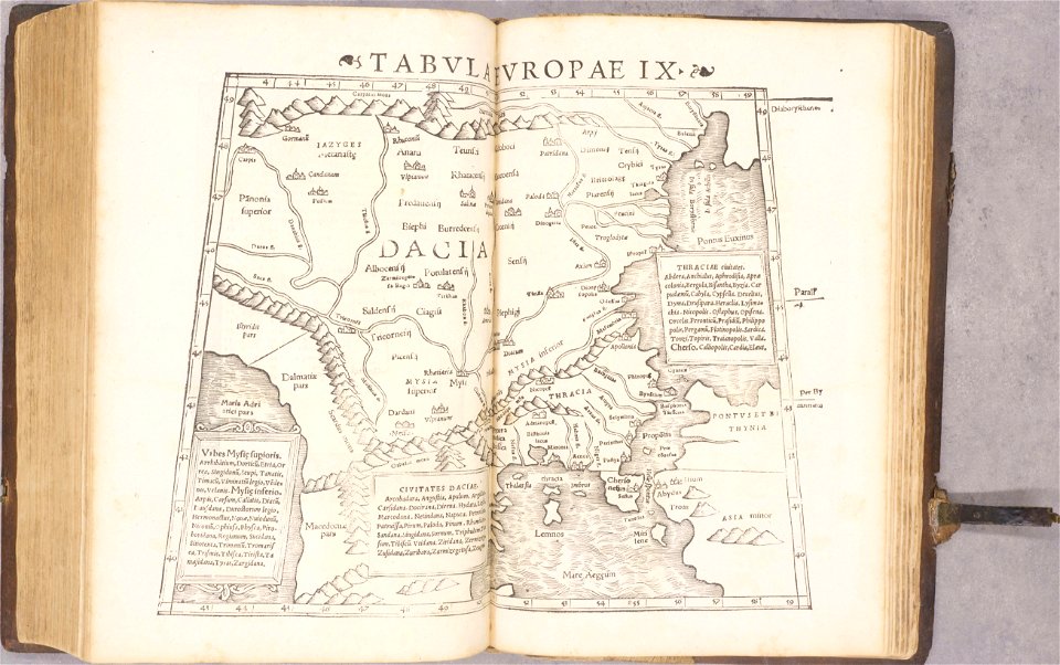
ptolemy's 5th european map
1552
geographiae claudii ptolemaei alexandrini (münster
1552
geographiae claudii ptolemaei alexandrini (münster
1552
geographiae claudii ptolemaei alexandrini (münster
1552
geographiae claudii ptolemaei alexandrini (münster
1552
geographiae claudii ptolemaei alexandrini (münster
1552
old maps of baden-württemberg
1552
hells gate
1886 maps
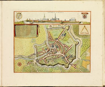
old maps of armentières
atlas de wit 1698
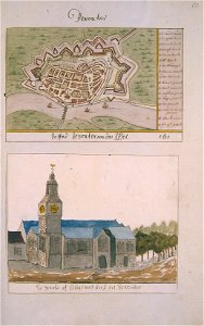
grote of lebuïnuskerk
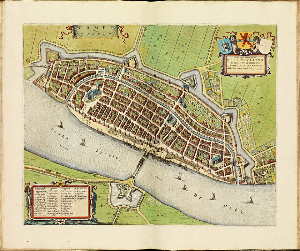
old maps of deventer
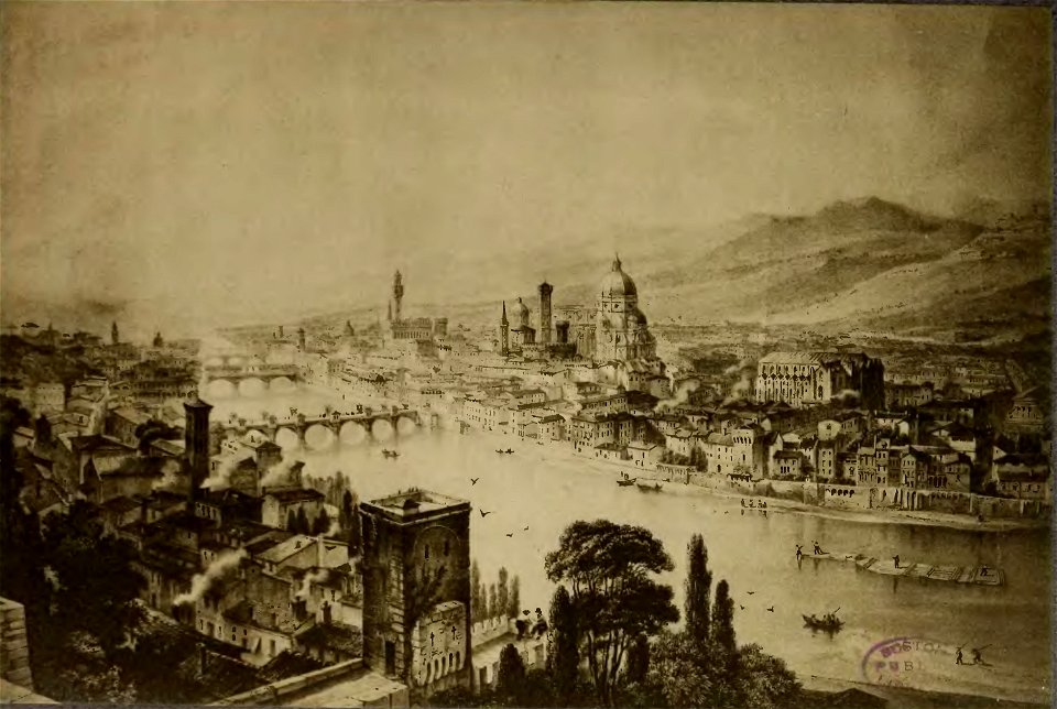
cento vedute di firenze antica
old maps of florence
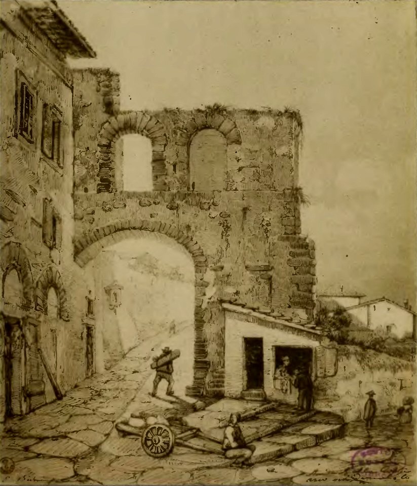
cento vedute di firenze antica
old maps of florence
cento vedute di firenze antica
old maps of florence
johann christoph brotze
old maps of riga
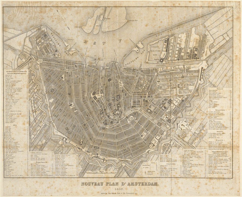
published by frans buffa & zonen
maps in the stadsarchief amsterdam
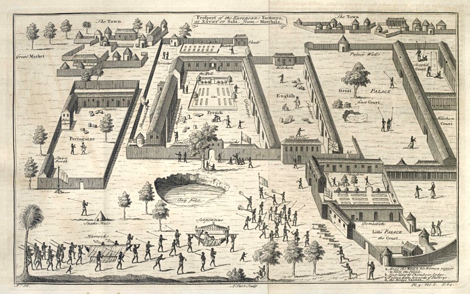
india
diu
theatrum orbis terrarum (london 1606)
files from the bodleian libraries
files from the bodleian libraries
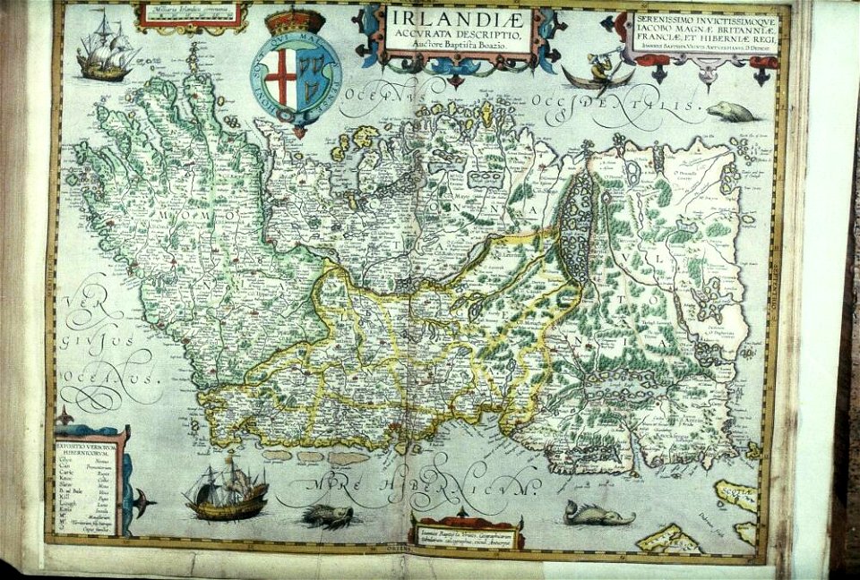
old maps of ireland
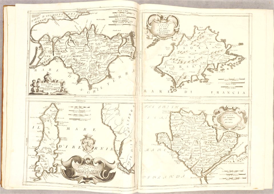
isle of wight
anglesey
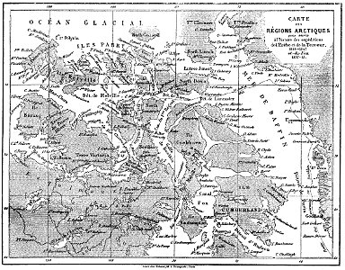
volume 1 of le tour du monde
john franklin
volume 4 of le tour du monde
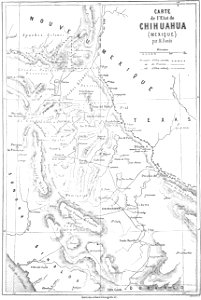
old maps of mexico
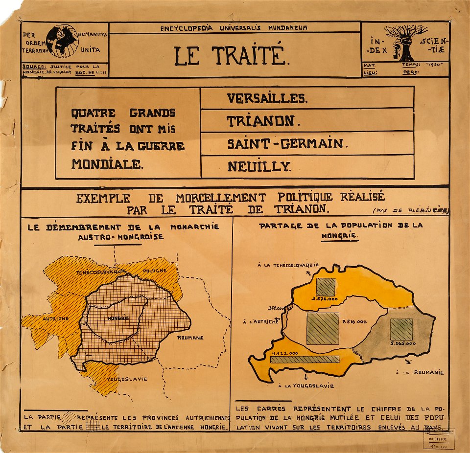
encyclopaedia universalis mundaneum
maps of the treaty of trianon
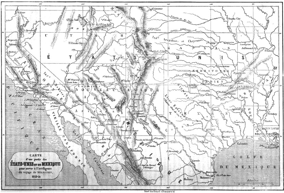
19th-century maps of the united states
volume 1 of le tour du monde
ukiyo-e by unknown artists
nagasaki-e
charte von schwaben (bohnenberger)
1827 engravings
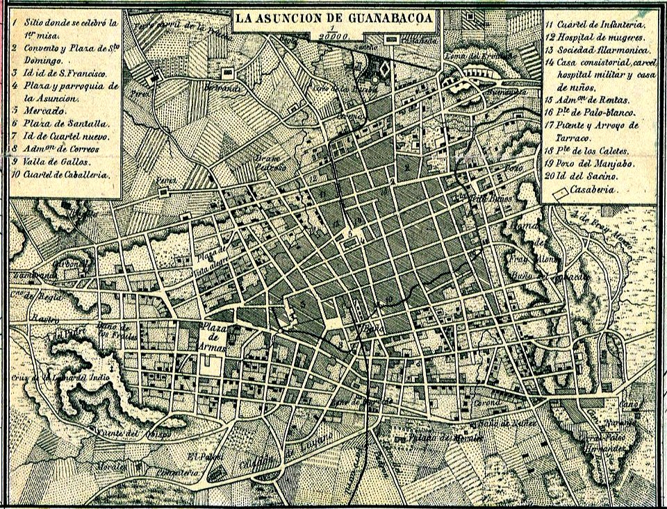
old maps of havana
1866
roger de gaignières
louis boudan
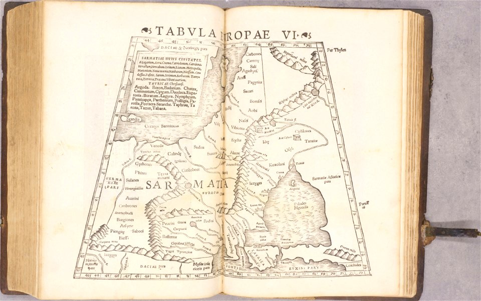
ptolemy's 9th european map
1552
ptolemy's 3rd african map
1552
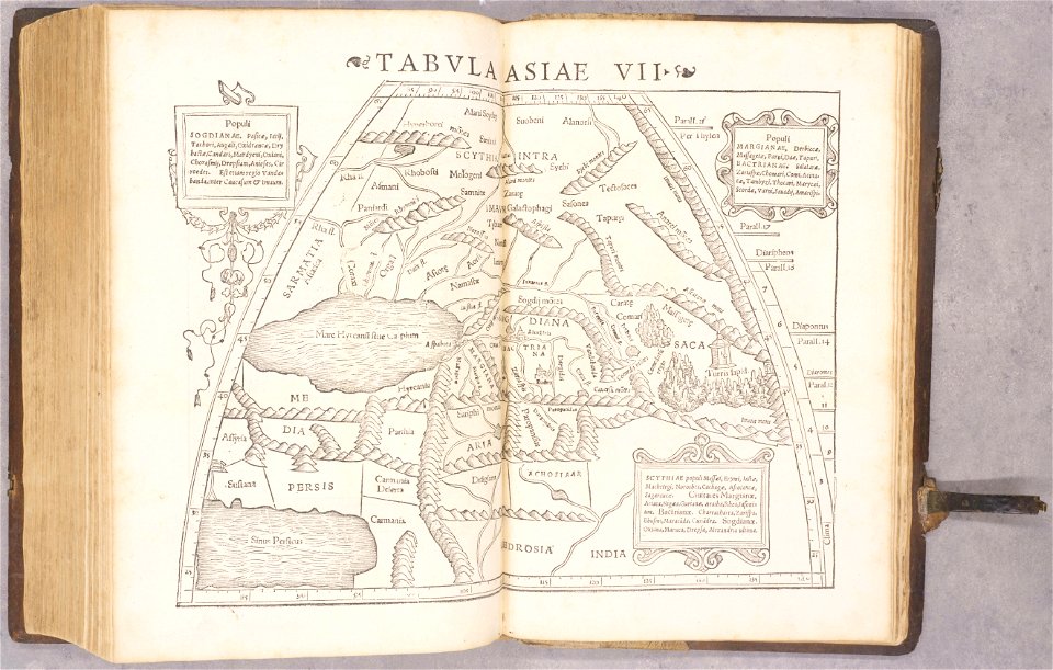
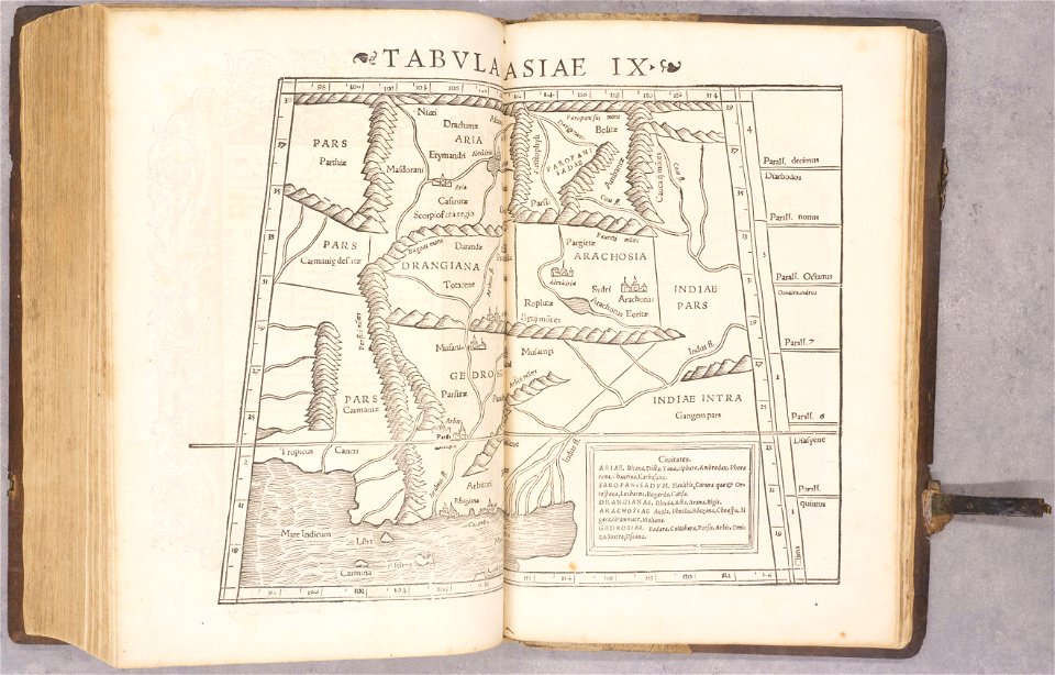
ptolemy's 3rd asian map
1552
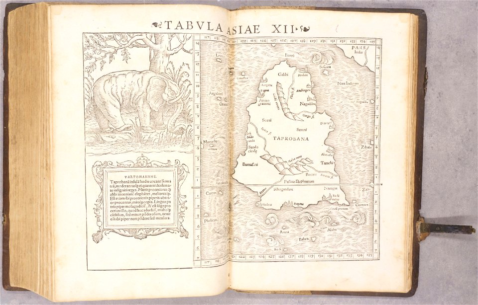
ptolemy's 11th asian map
1552
geographiae claudii ptolemaei alexandrini (münster
1552
geographiae claudii ptolemaei alexandrini (münster
1552
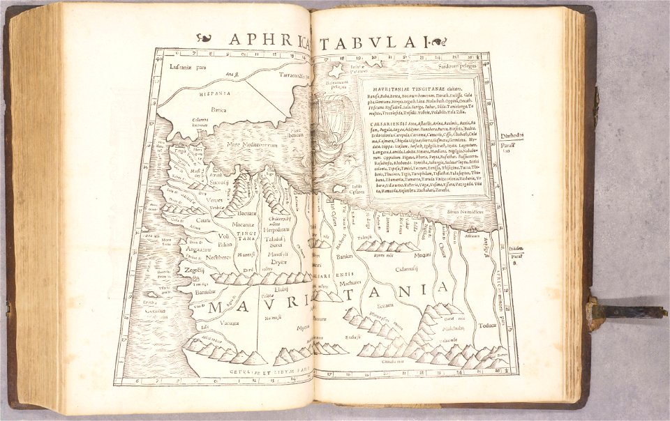
ptolemy's 1st african map
1552
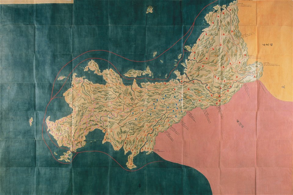
nagato province
genroku kuniezu
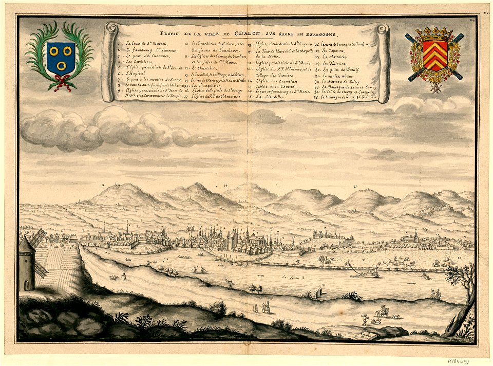
description des principales villes (1690)
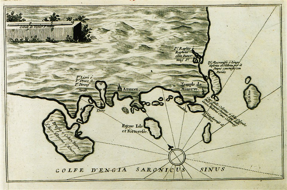
history of aegina
atlantis magni tomus primus (biblioteca comunale di trento)
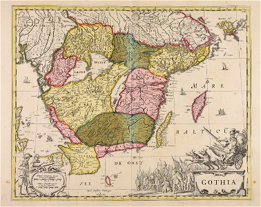
17th-century maps of sweden
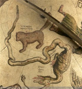
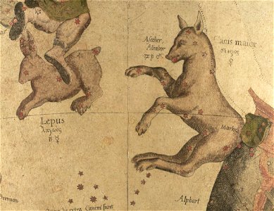
draco (constellation) in art
ursa minor in art
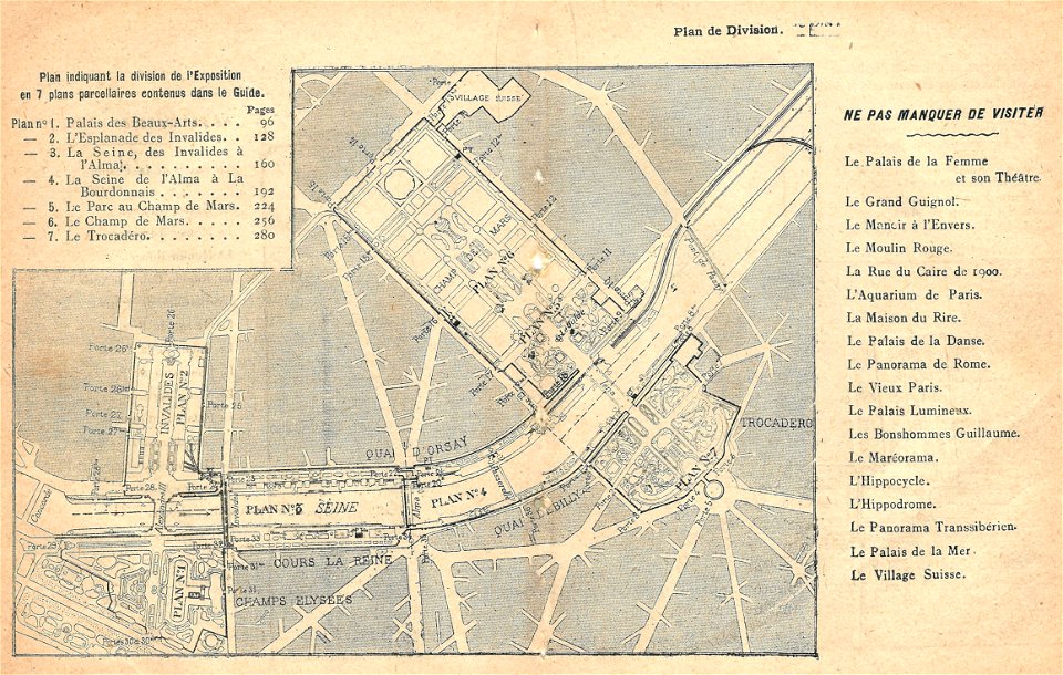
illustrations du catalogue remboursable de l'expo 1900
maps of the exposition universelle (1900)
west-indische compagnie
gerard van keulen
engravings by jan luyken
1696
soldiers in art
ink drawing
weißenburg in bayern in art
maps by homannsche erben
charts and maps of the royal museums greenwich
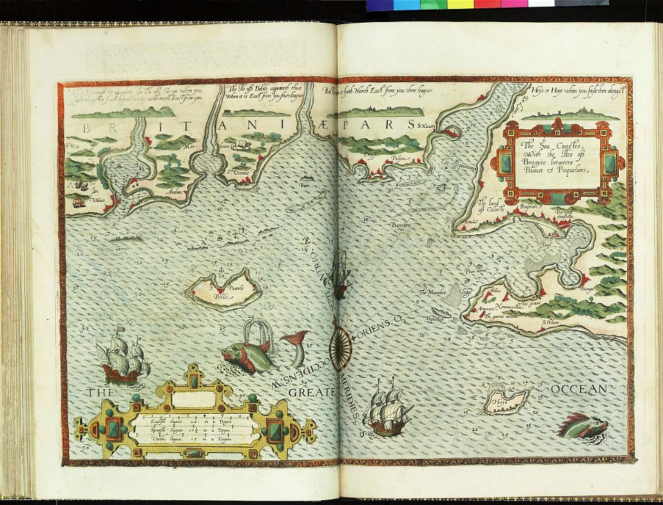
lucas janszoon waghenaer
charts and maps of the royal museums greenwich
lucas janszoon waghenaer
illustrations de l'histoire de la nouvelle france d'eugène guénin
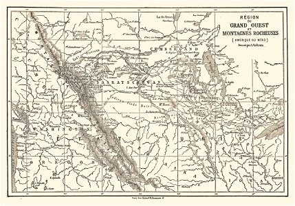
maps of the rocky mountains
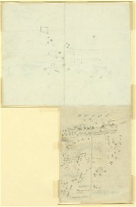
drawings (documentary) collection in the library of congress
drawings by alfred waud
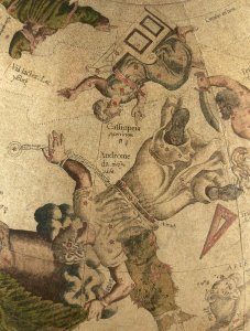
maps by gerardus mercator
mercator celestial globe
triangulum (constellation)
andromeda (constellation)
bibliothèque municipale de reims
rès. g 153
engravings of topographia superioris saxoniae
thüringiae
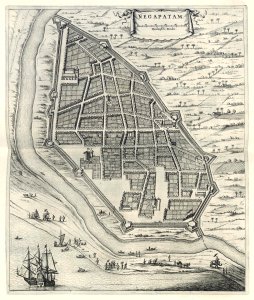
maps of the dutch east india company - india
1672
maps of the dutch east india company - india
1709
maps of the west-indische compagnie
1745
maps in the stadsarchief amsterdam
claes jansz. visscher (ii)
maps in the stadsarchief amsterdam
claes jansz. visscher (ii)
geographical illustrations by coronelli
antirrio
paintings of amsterdam
amsterdam
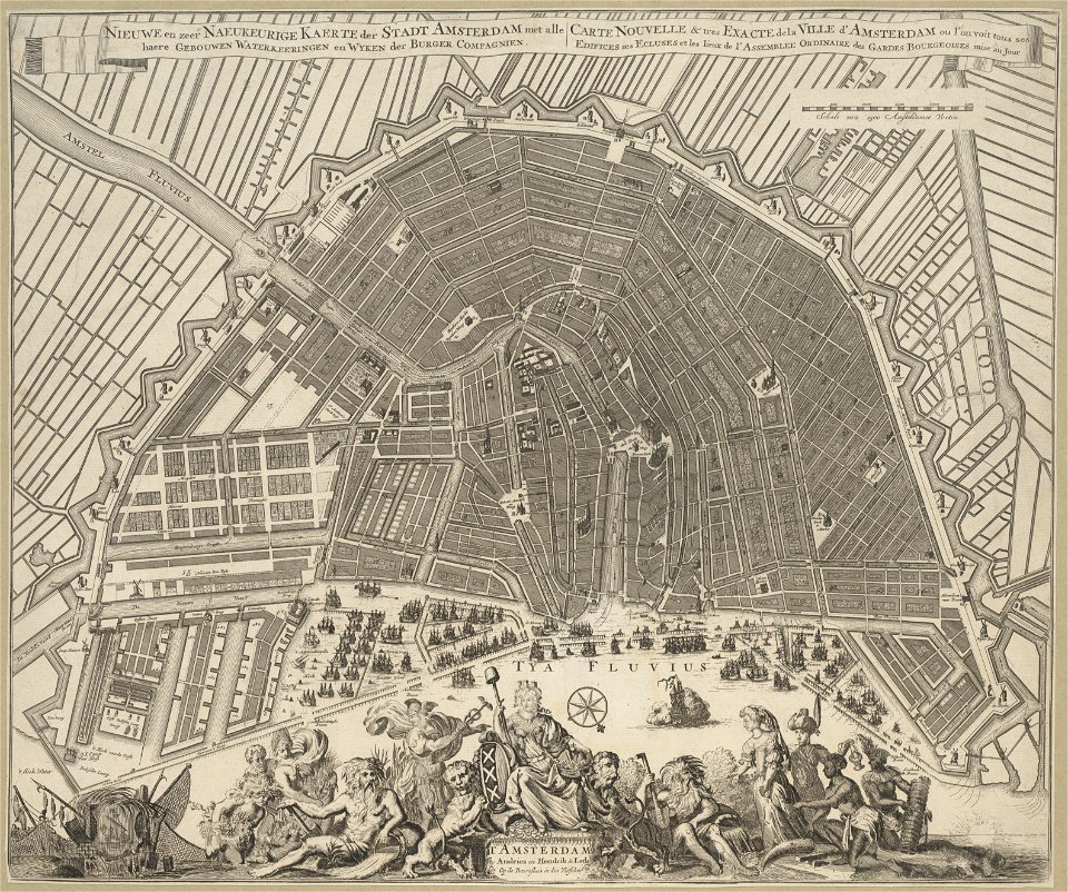
maps in the stadsarchief amsterdam
hendrik de leth
maps in the stadsarchief amsterdam
hendrik de leth
9101 - 9200 of 38,713
Next page
/ 388