Log in
All resources
Create a design
38,713 Free Artworks of Map
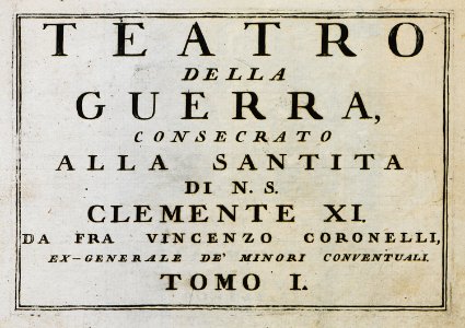
geographical illustrations by coronelli
bibliothèque municipale de reims
astronomical maps
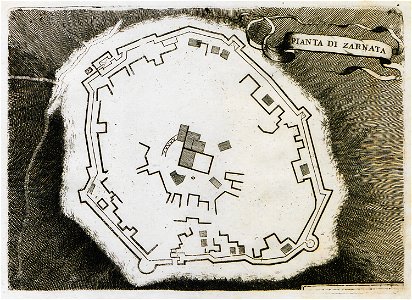
old maps of the peloponnese
atlante veneto (raremaps.com) volume 1
etchings by giovanni battista piranesi
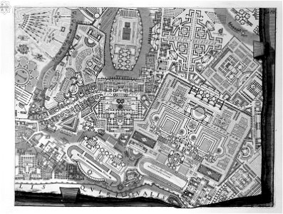
map of campus martius (robert adam)
campus martius (piranesi)
popular science monthly illustrations/volume 32
map of ferrara by andrea bolzoni
map of ferrara by andrea bolzoni
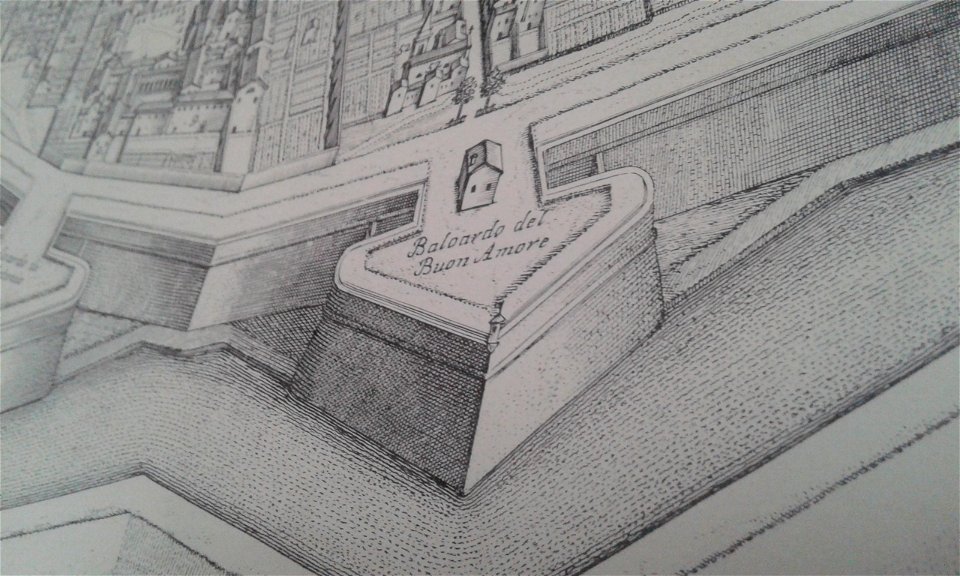
baluardo dell'amore (ferrara)
geographical illustrations by coronelli
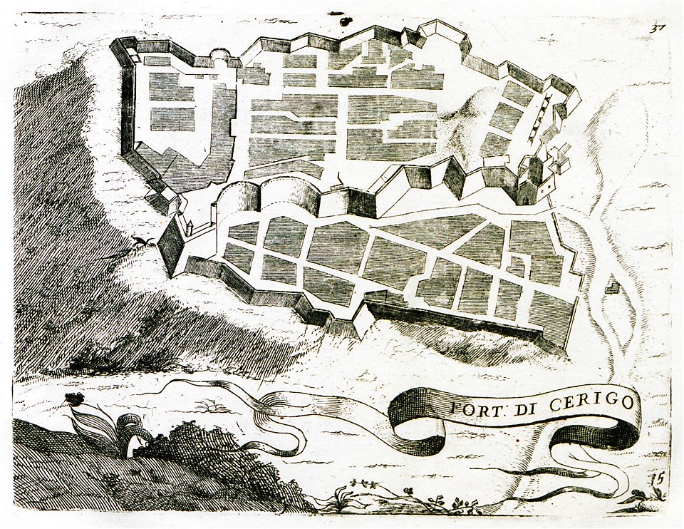
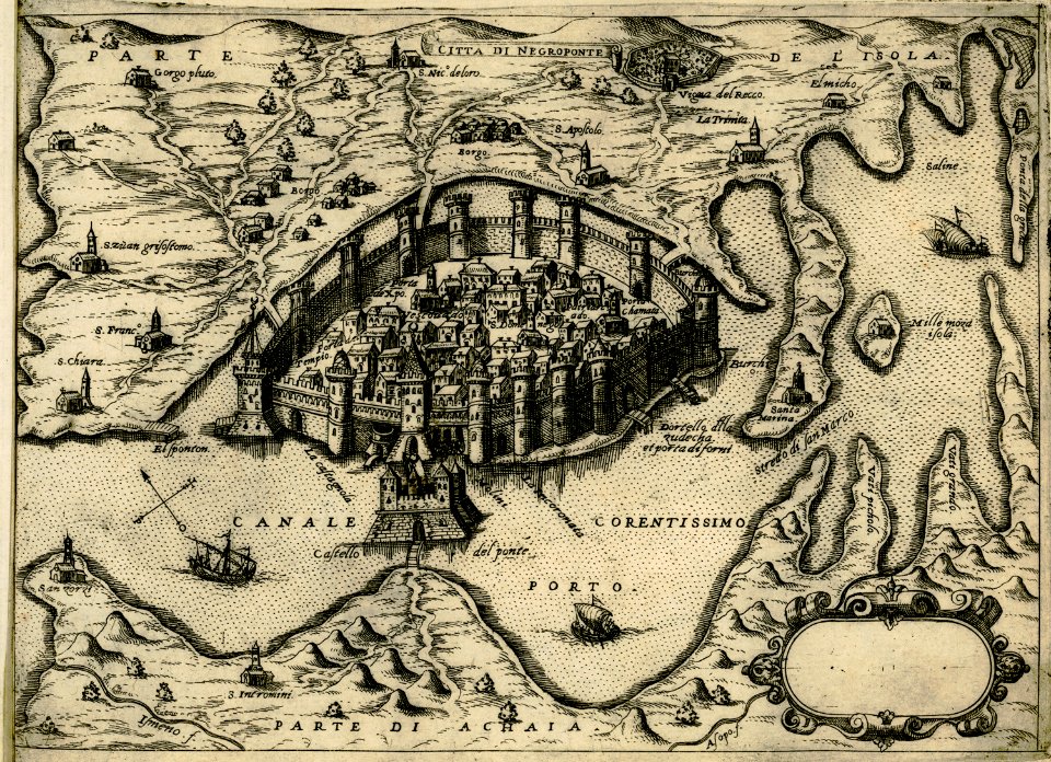
engravings of kythira
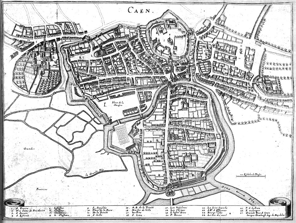
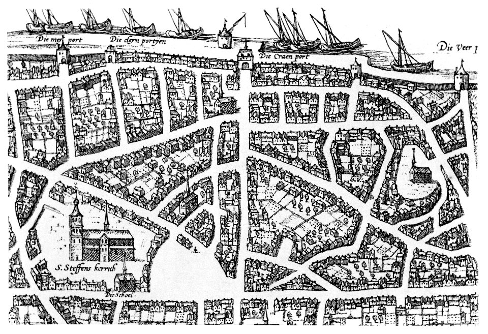
old maps of zürich
zürich
bibliothèque municipale de reims
rès. g 153
bird's eye view maps of rhode island
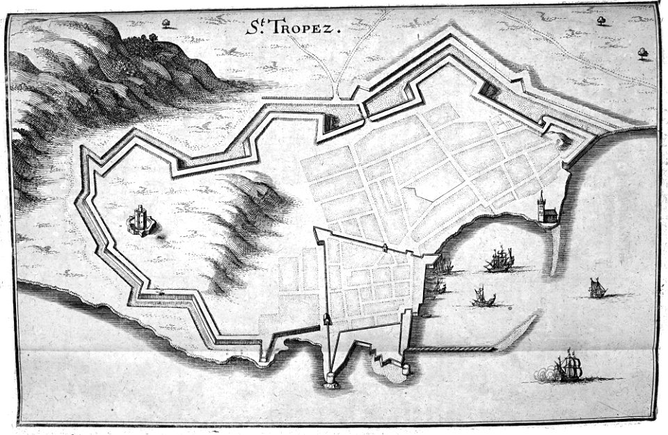
geographical illustrations by coronelli
old maps of the peloponnese
atlante veneto (raremaps.com) volume 1
old maps of mediterranean sea
atlante veneto (raremaps.com) volume 2
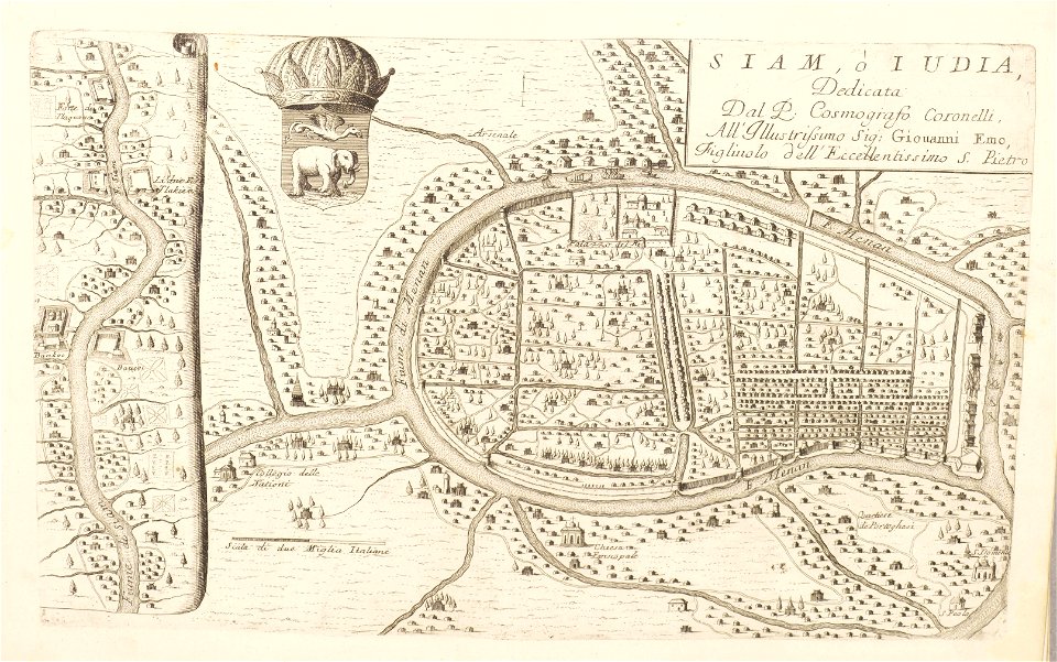
old maps of ayutthaya
atlante veneto (raremaps.com) volume 2
historical maps of mughal empire
drawings in the museu antônio parreiras
geographical illustrations by coronelli
old maps of the peloponnese
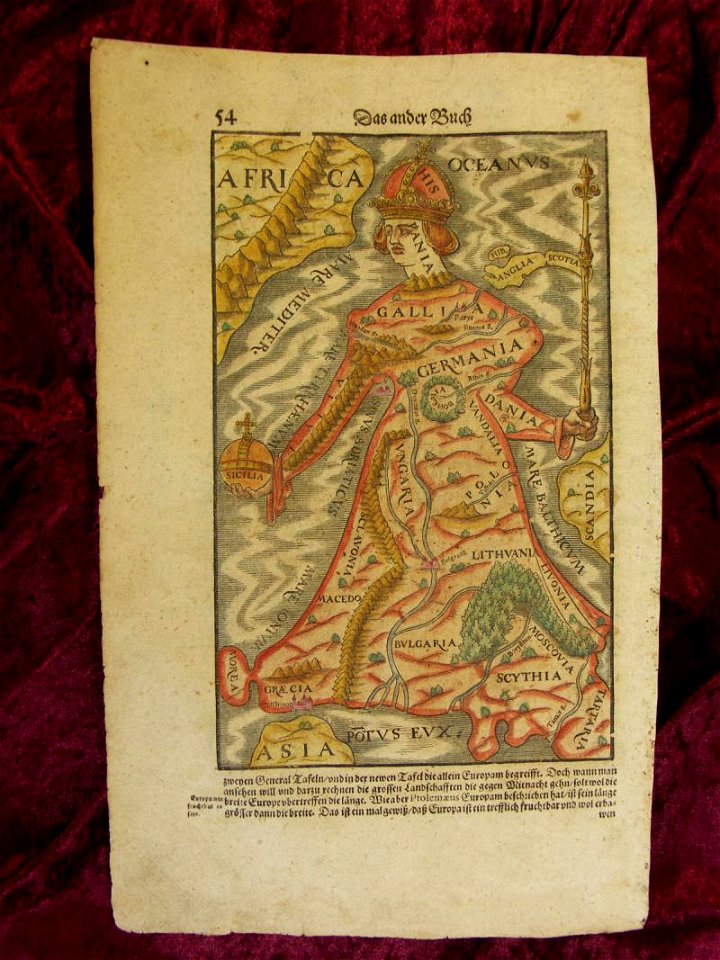
illustrations of cosmographia (münster)
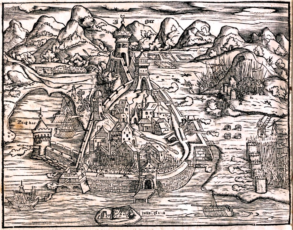
historical images of algiers
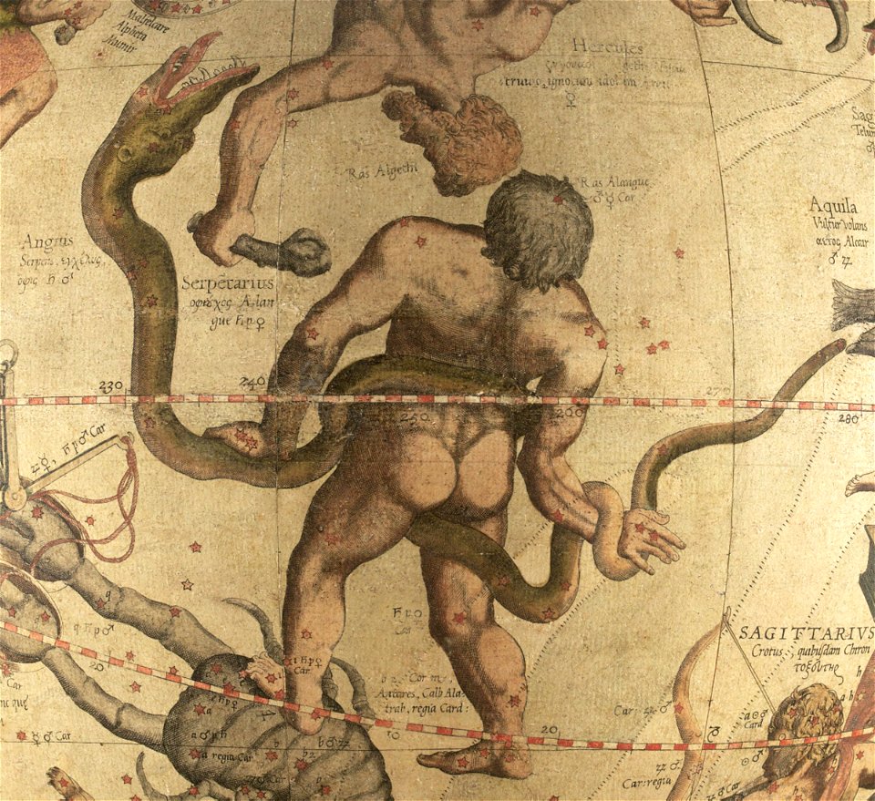
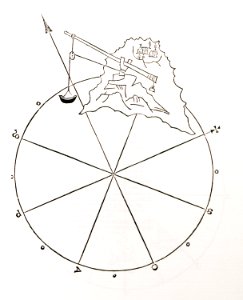
ophiuchus (constellation)
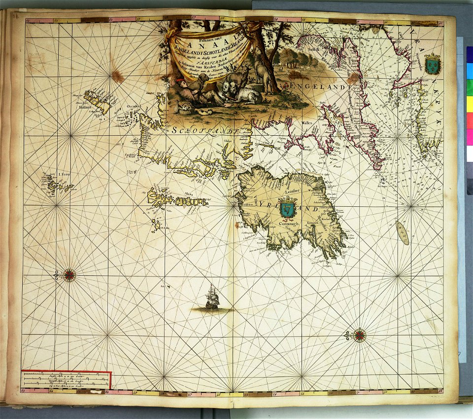
maps by gerardus mercator
charts and maps of the royal museums greenwich
bibliothèque municipale de reims
rès. g 152
charts and maps of the royal museums greenwich
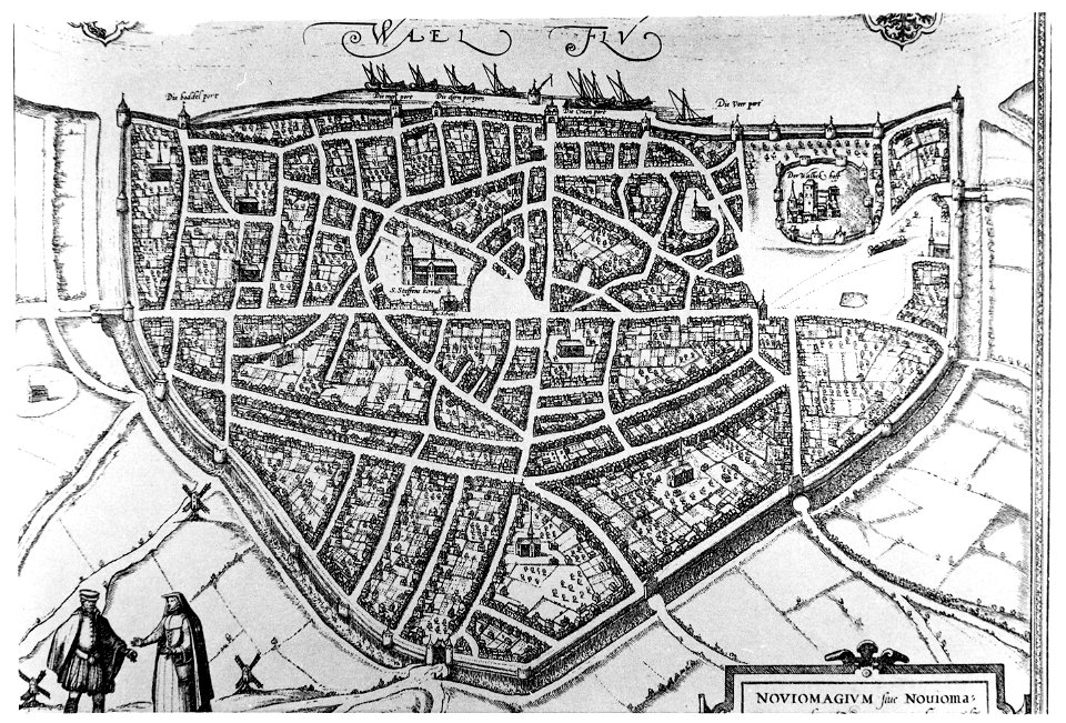
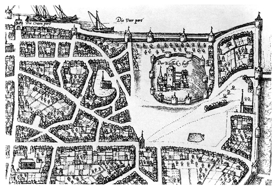
old maps of nijmegen
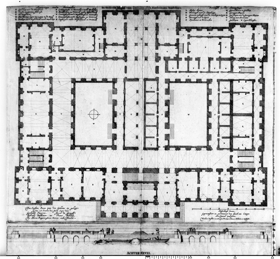
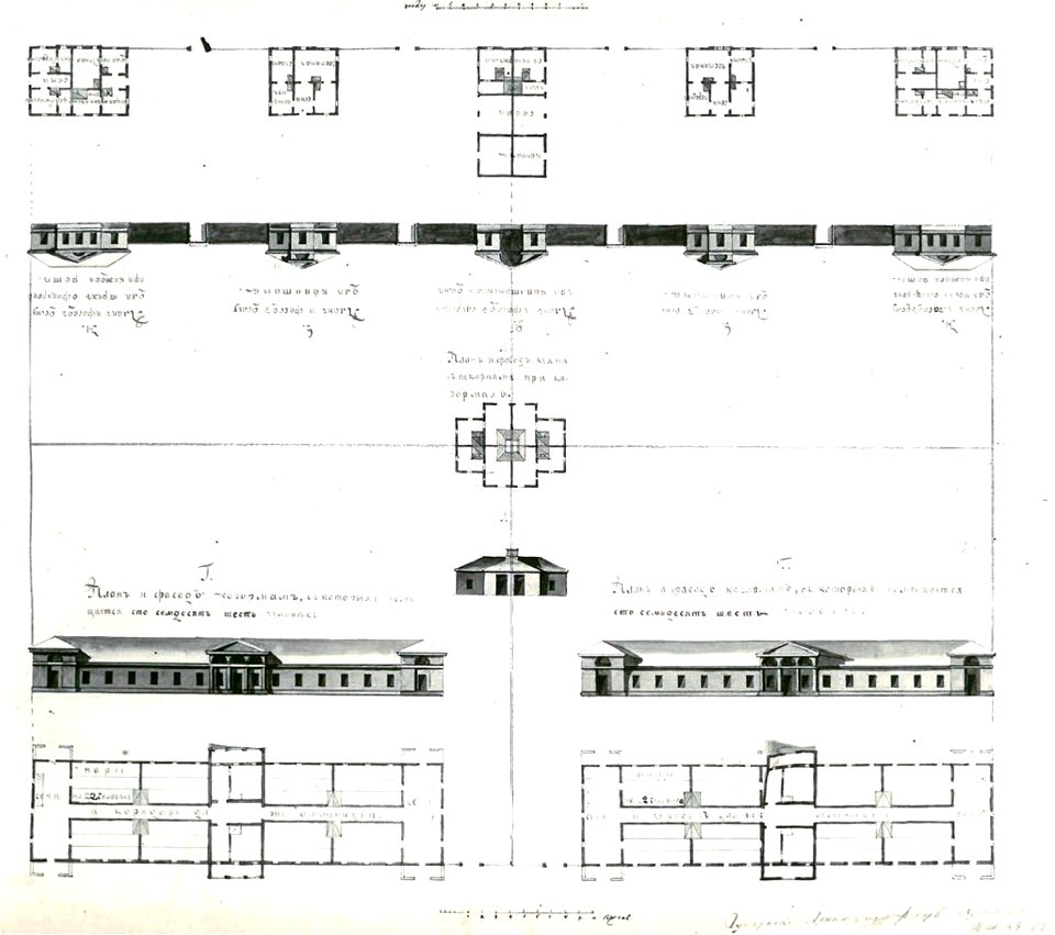
construction drawings in the stadsarchief amsterdam
nicolas visscher
maps by gerardus mercator
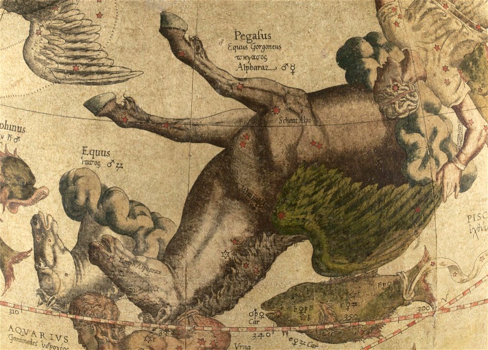
pegasus (constellation)
etchings by giovanni battista piranesi
map of campus martius (robert adam)
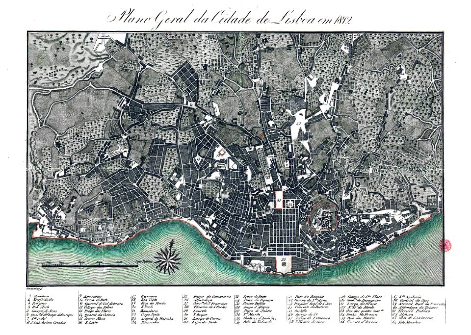
19th-century maps of lisbon
1812 in portugal
geographical illustrations by coronelli
old maps of the peloponnese
popular science monthly illustrations/volume 32
astronomical maps
trams in warsaw
maps of warsaw
old maps of braunschweig
bammelsburg
bibliothèque municipale de reims
rès. g 153
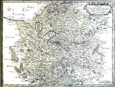
map of france
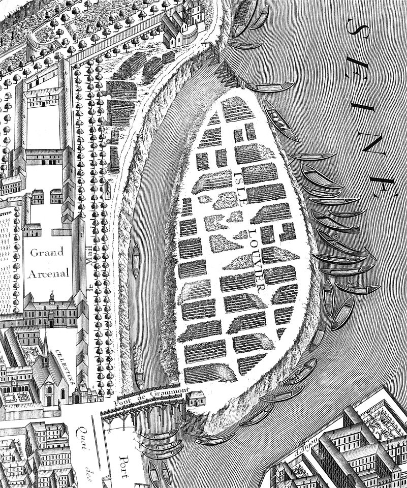
île louviers
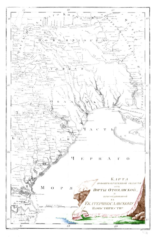
old maps of yekaterinoslav governorate
atlas of the russian empire (1792)
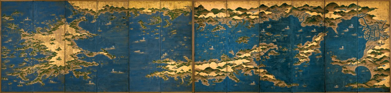
seto-naikai
old map
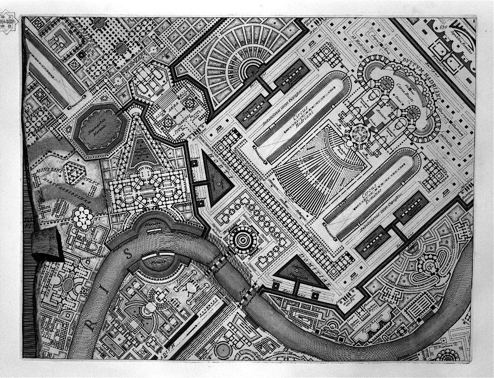
etchings by giovanni battista piranesi
map of campus martius (robert adam)
old maps of islands of the aegean sea
bartolommeo dalli sonetti
history of chalkida
giovanni camocio
bibliothèque municipale de reims
rès. g 152
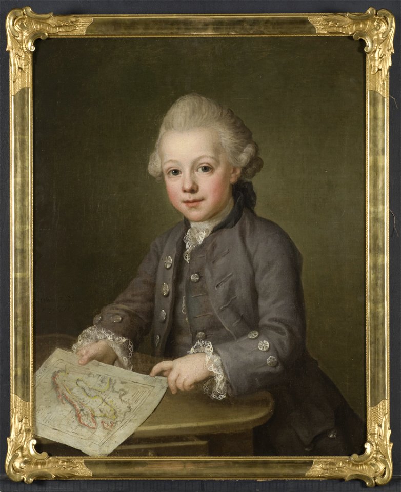
portrait paintings in the nationalmuseum stockholm
ulrika pasch
maps of the dutch east india company - indonesia
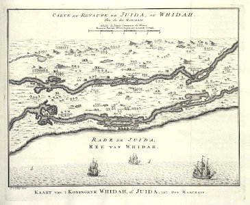
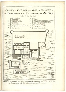
maps of the west-indische compagnie
1747)
maps of the west-indische compagnie
1750
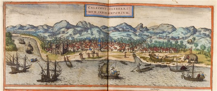
historical images of kozhikode
braun & hogenberg
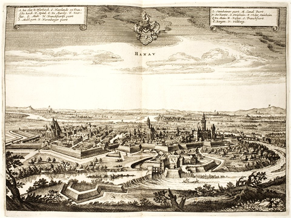
history of hanau
maps of hanau
illustrations of cosmographia (münster)
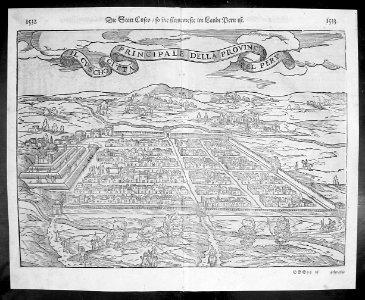
old maps of the viceroyalty of peru
atlante veneto (raremaps.com) volume 1
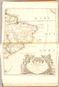
old maps of south america
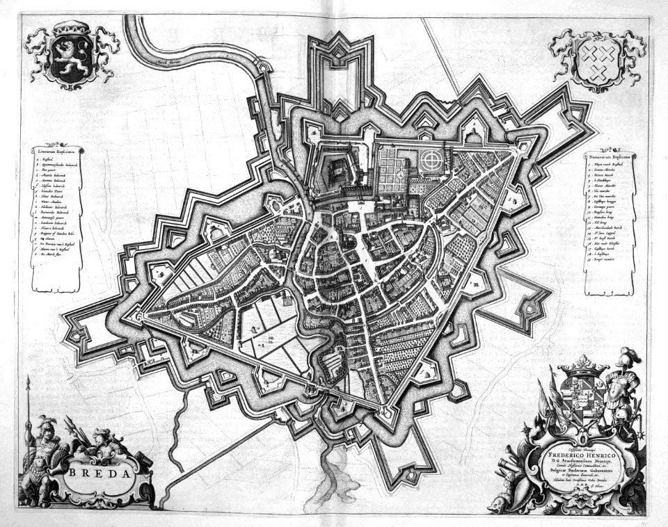
old maps of breda
atlas beudeker
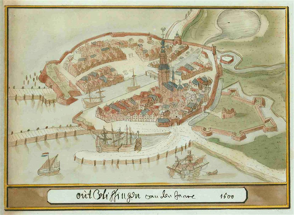
atlas schoemaker-zeeland
atlas schoemaker
maps of de marne
eenrum
engravings by william miller
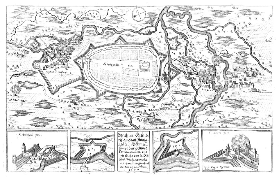
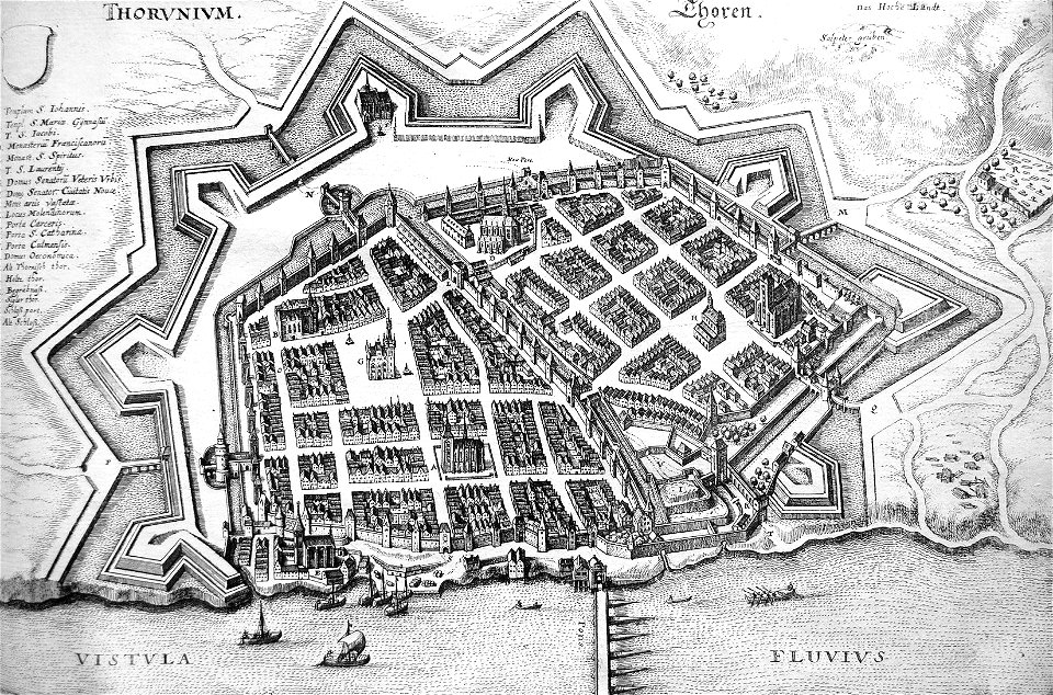
engravings of topographia bohemiae moraviae et silesiae
history of hradec králové
leo belgicus
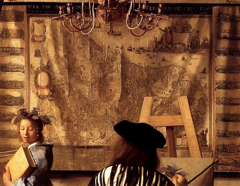
maps in art
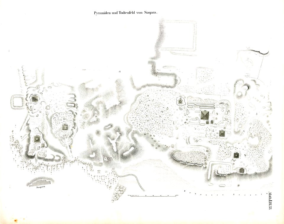
lepsius-projekt - pyramids
saqqara pyramids
kvarteret rännilen
stockholm
winter and spring on the shores of the mediterranean (1875)
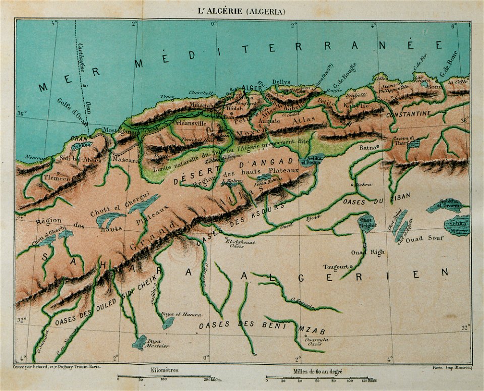
maps of algeria
de wikisource book leaflet
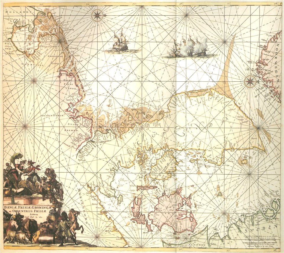
de nordseeküste (karten)
drawings in the universitätsbibliothek salzburg
maps made in the 17th century
johann christoph brotze
old maps of riga
vincenzo coronelli
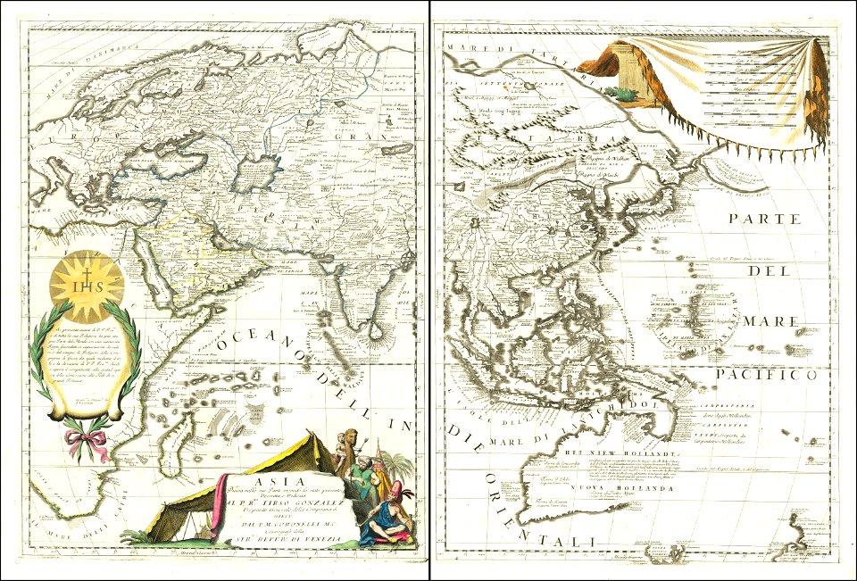
1690s maps of asia
geographical illustrations by coronelli
athens in the ottoman era
atlante veneto (raremaps.com) volume 1
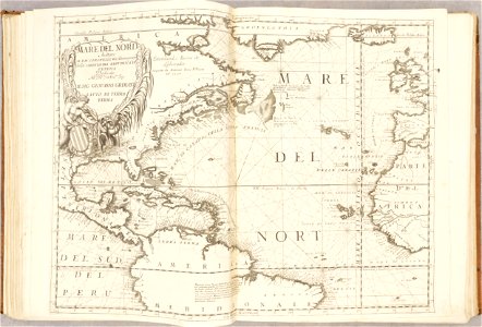
old maps of the atlantic ocean
atlante veneto (raremaps.com) volume 1
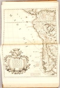
old maps of south america
drawings in the museu antônio parreiras
geographical illustrations by coronelli
old maps of the peloponnese
drawings (documentary) collection in the library of congress
drawings by alfred waud
historical images of minsk
old maps of minsk
old maps of nijmegen
old maps of nijmegen
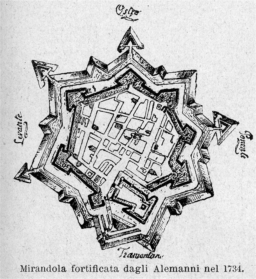
le cento città d'italia (modena)
old maps of mirandola
bibliothèque municipale de reims
rès. g 153
cosmographia (1628) by sebastian münster
illustrations of cosmographia (münster)
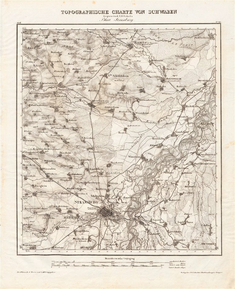
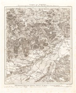
charte von schwaben (bohnenberger)
old maps of bas-rhin
charte von schwaben (bohnenberger)
19th-century maps of bavaria
charte von schwaben (bohnenberger)
19th-century maps of bavaria
bibliothèque municipale de reims
rès. g 152
antiparos
paros
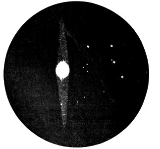
popular science monthly illustrations/volume 32
astronomical maps
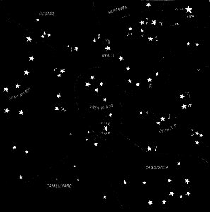
popular science monthly illustrations/volume 32
astronomical maps
popular science monthly illustrations/volume 31
astronomical maps
popular science monthly illustrations/volume 32
astronomical maps
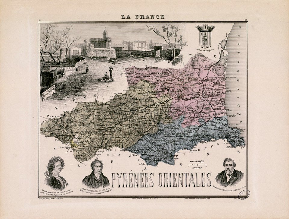
nicolas de fer
roussillon
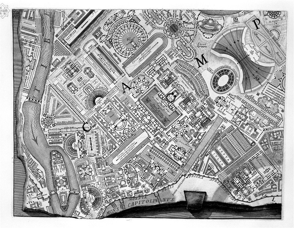
etchings by giovanni battista piranesi
map of campus martius (robert adam)
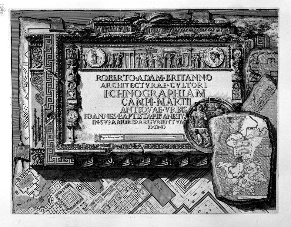
etchings by giovanni battista piranesi
map of campus martius (robert adam)
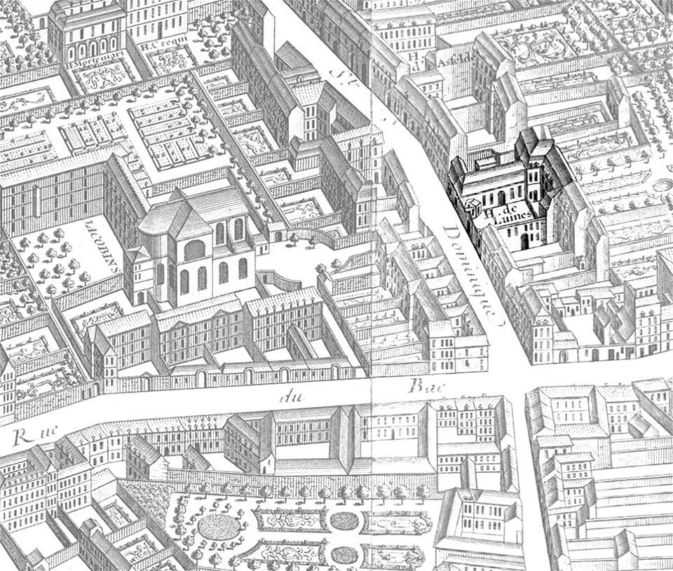
hôtel de chevreuse
geographical illustrations by coronelli
maps of preveza
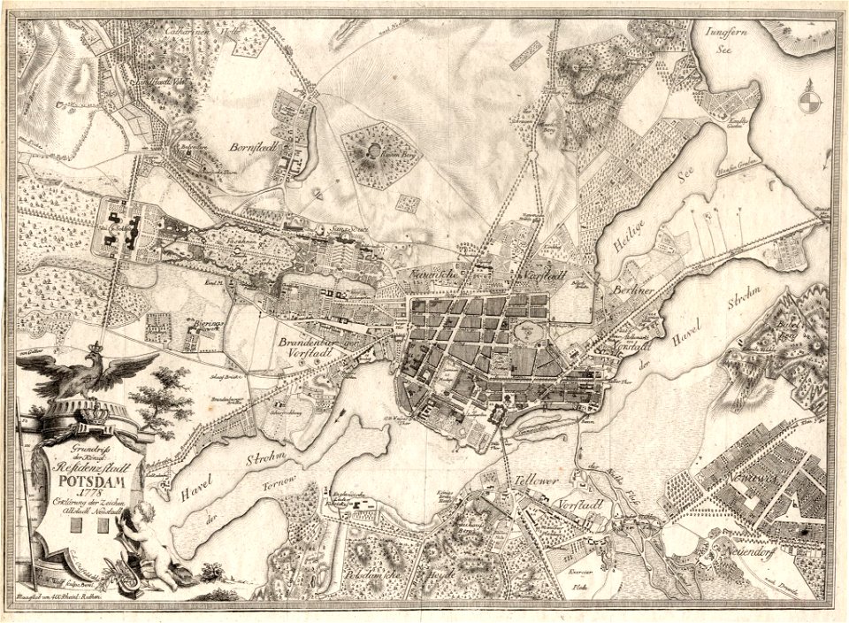
history of sanssouci
maps of potsdam
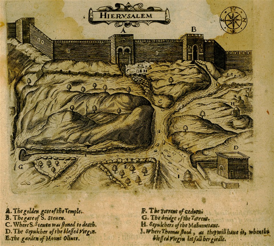
historical images of jerusalem
relation of a journey (sandys)
description des principales villes (1690)
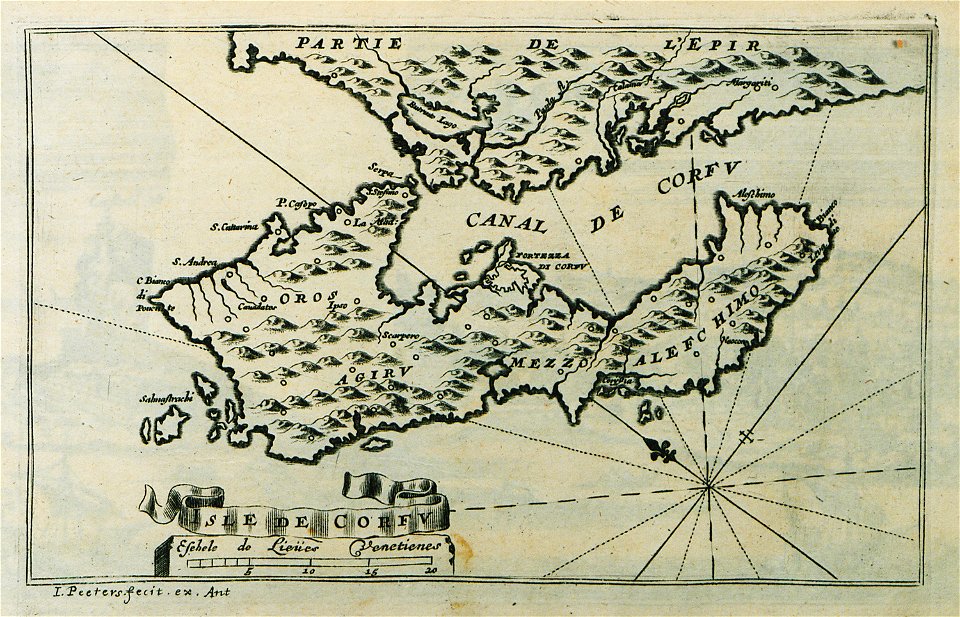
old maps of corfu
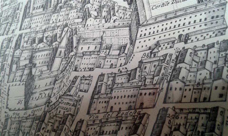
map of ferrara by andrea bolzoni
piazza cortevecchia (ferrara)
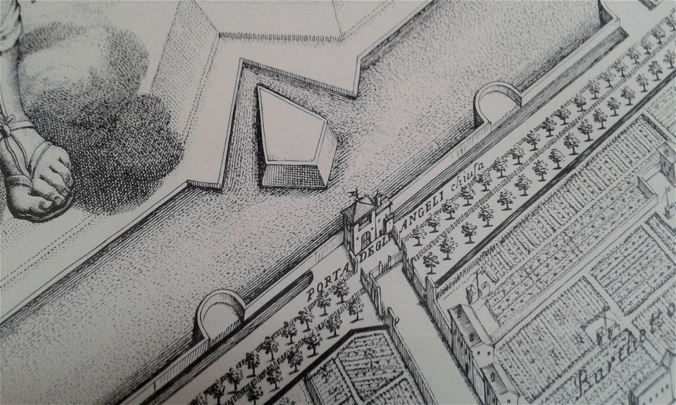
map of ferrara by andrea bolzoni
porta degli angeli (ferrara)
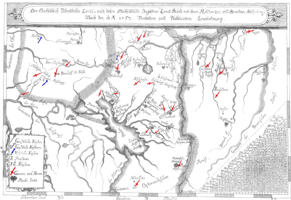
old maps of lake constance
nobility of swabia
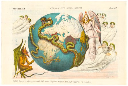
liverpool
debunking
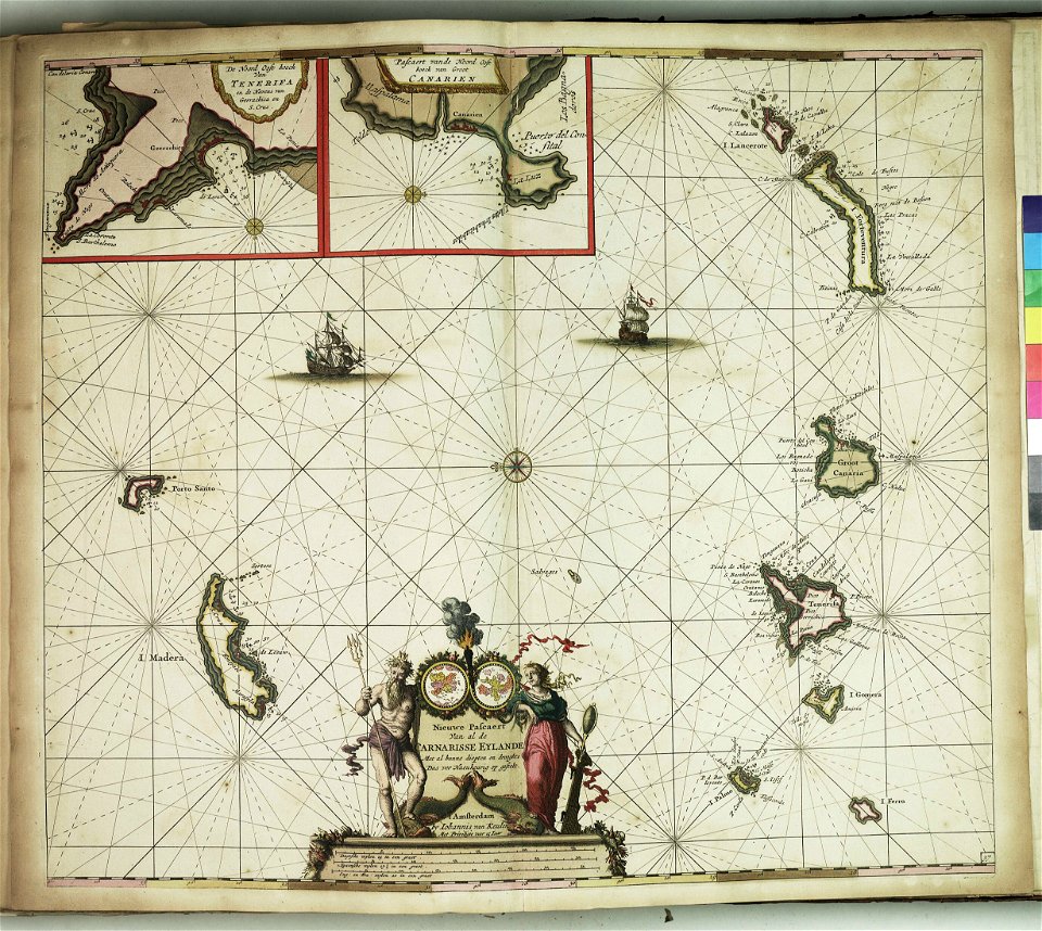
maps with cartouches
atlas van der hagen
maps with cartouches
atlas van der hagen
torquato tasso in art
italian-language maps
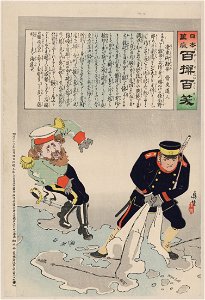
russo-japanese war in art
japanese fine prints
chromolithograph
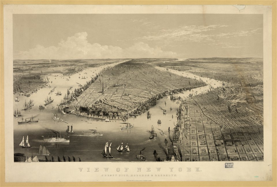
new york city
maps in the library of congress
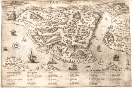
old maps of istanbul
russo-japanese war in art
japanese fine prints
alexandre-joseph oliva
hyacinthe rigaud
river transport in the polish-lithuanian commonwealth
engravings by matthäus merian
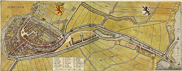
old maps of schiedam
atlas de wit 1698
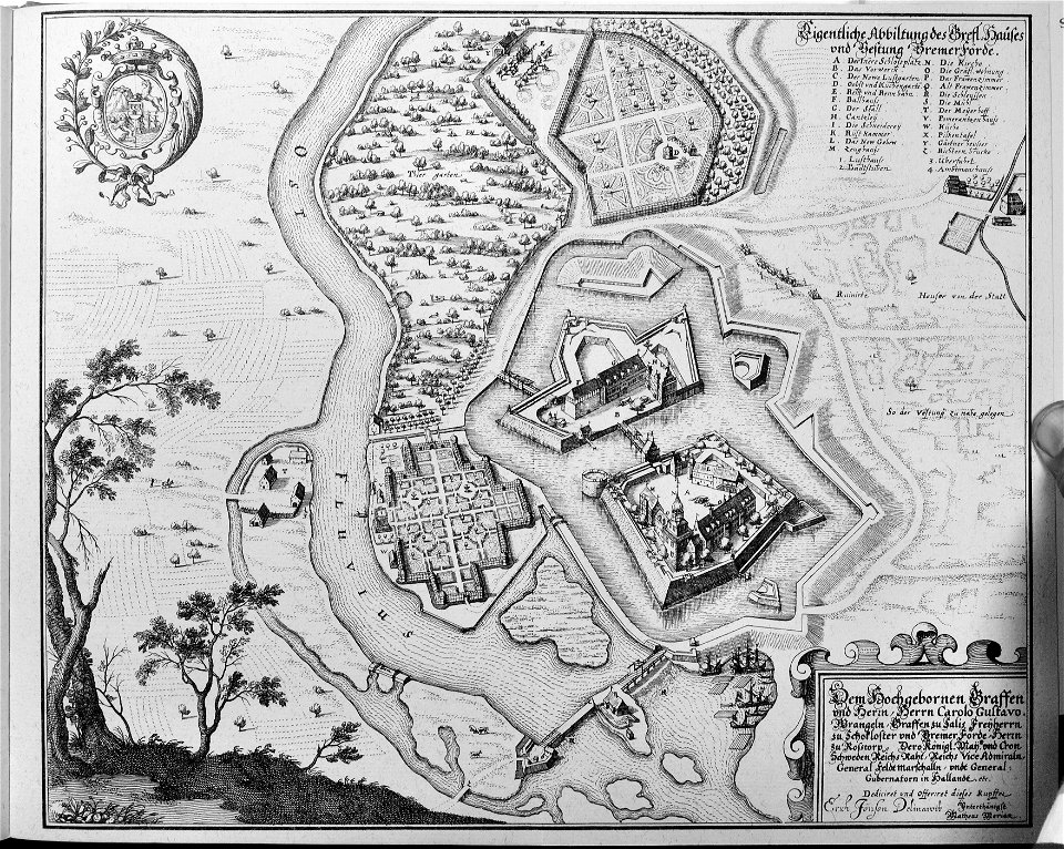
engravings of topographia saxoniae inferioris
maps of bremervörde
17th-century woodcuts
old maps of venice
volume 9 of le tour du monde
1860s maps of africa
8501 - 8600 of 38,713
Next page
/ 388