Log in
All resources
Create a design
38,713 Free Artworks of Map
maps made in the 17th century
atlantis magni tomus quintus (biblioteca comunale di trento)
maps made in the 18th century
gerard valck
maps by pieter schenk (i)
atlantis magni tomus secundus (biblioteca comunale di trento)
nicolaes visscher ii
maps with cartouches
atlas van der hagen
atlantis magni tomus quartus (biblioteca comunale di trento)
gerard valck
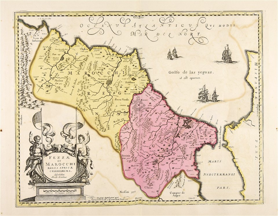
marocco
maps made in the 17th century
nicolaes visscher ii
gerard valck
indonesia
charts and maps of the royal museums greenwich
1682 maps
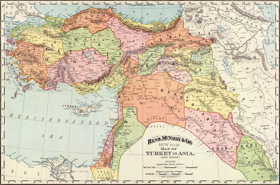
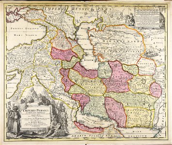
old administrative maps of the ottoman empire
rand mcnally
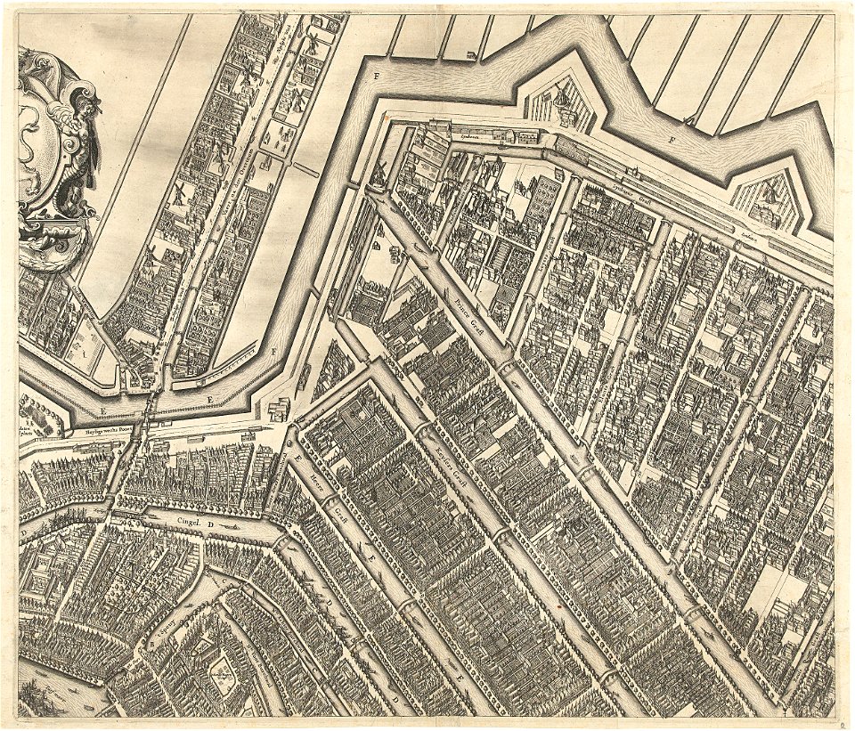
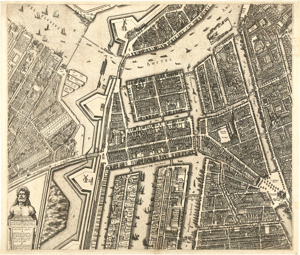
prinsengracht
amsterdam
oudeschans
amsterdam
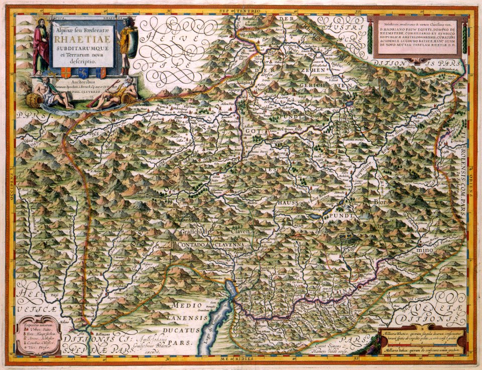
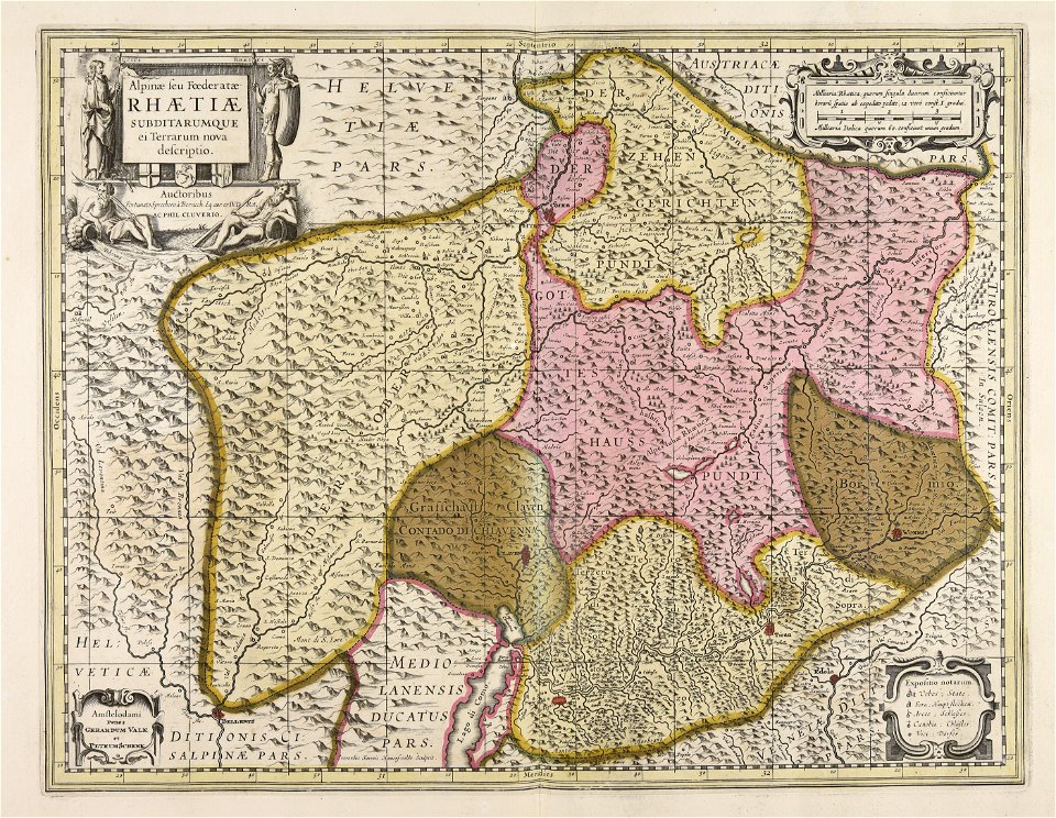
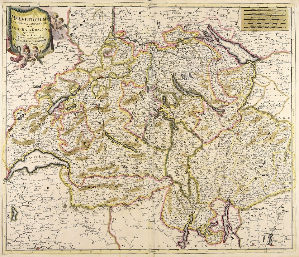
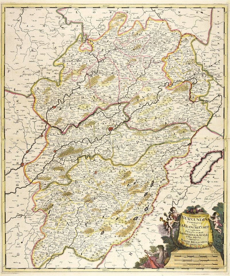
old maps of switzerland
maps with cartouches
maps made in the 17th century
gerard valck
maps made in the 18th century
johann baptist homann
cornell university library
cartography
maps made in the 18th century
maps by pieter schenk (i)
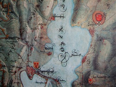
historical images of rapperswil
mariazell wurmsbach abbey
maps made in the 17th century
jan janssonius
maps made in the 17th century
nicolaes visscher ii
charts and maps of the royal museums greenwich
1590 maps
charts and maps of the royal museums greenwich
1590 maps
old maps of sri lanka
maps with cartouches
old maps of saxony
1760 maps
maps made in the 17th century
nicolaes visscher ii
cornell: persuasive cartography: the pj mode collection
cornell university library
maps made in the 18th century
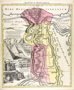
1720s maps of egypt
maps made in the 17th century
nicolaes visscher ii
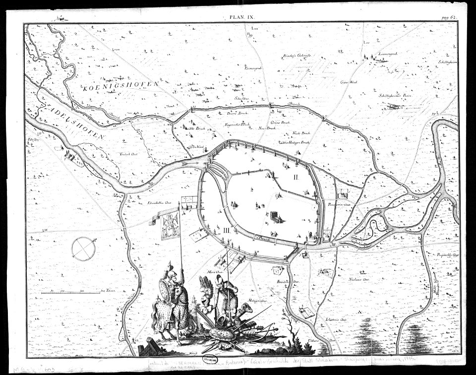
collections de la bibliothèque nationale et universitaire de strasbourg
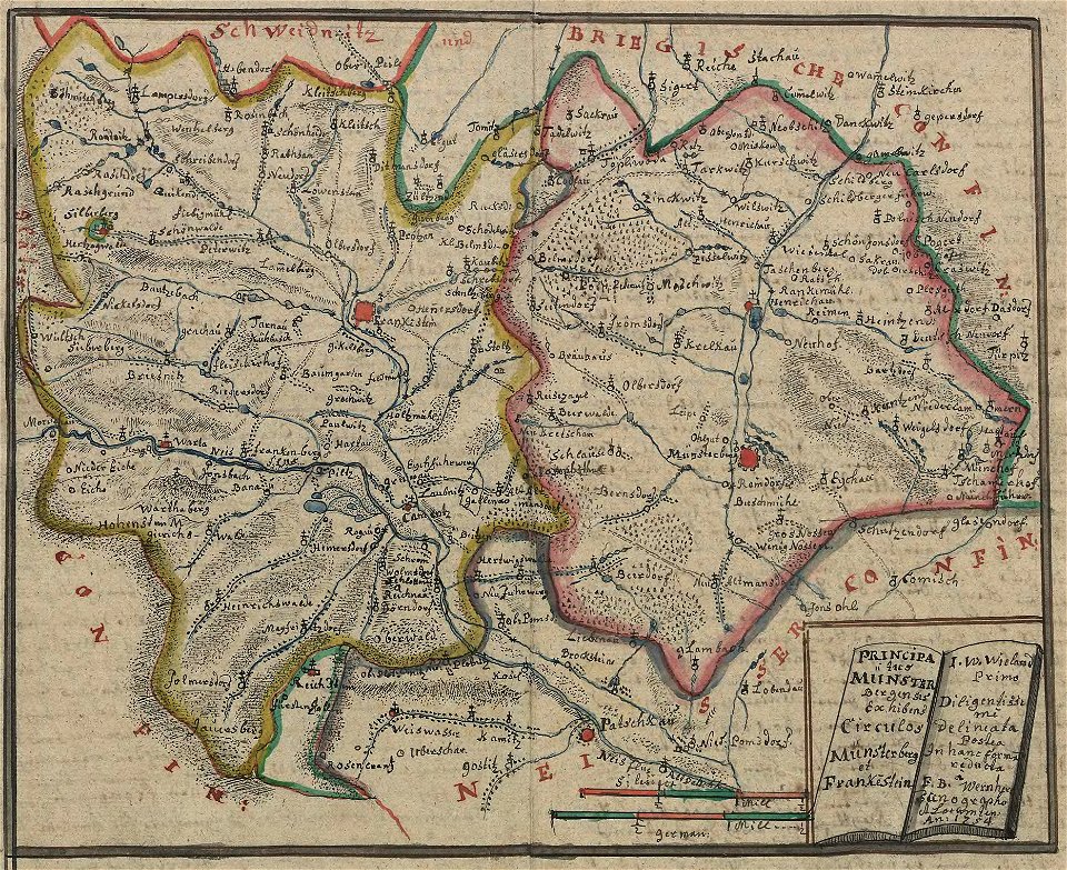
old maps of territories in the upper rhenish circle
maps made in the 18th century
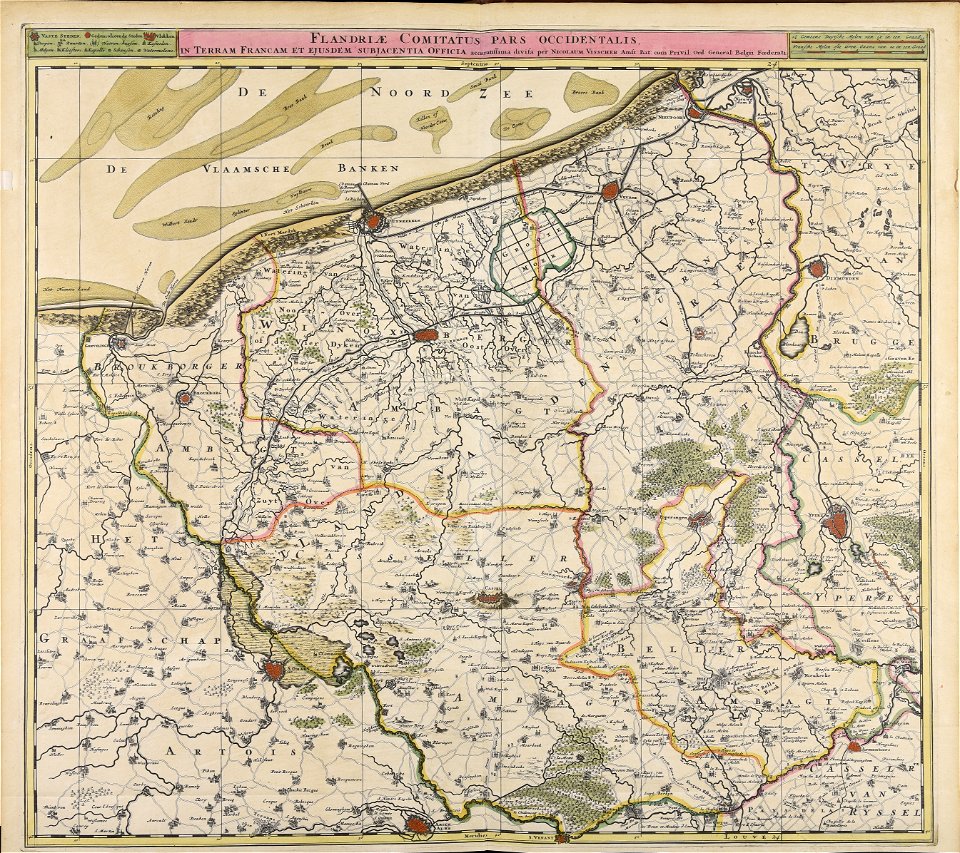
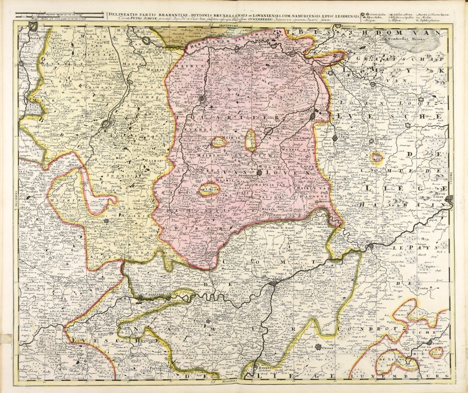
belgio
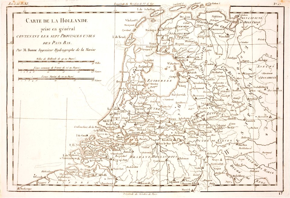
1780 maps of the netherlands
1780 maps of germany
atlantis magni tomus quartus (biblioteca comunale di trento)
maps by nicolaes visscher i
maps made in the 18th century
gerard valck
historical images of orléans
maps with cartouches
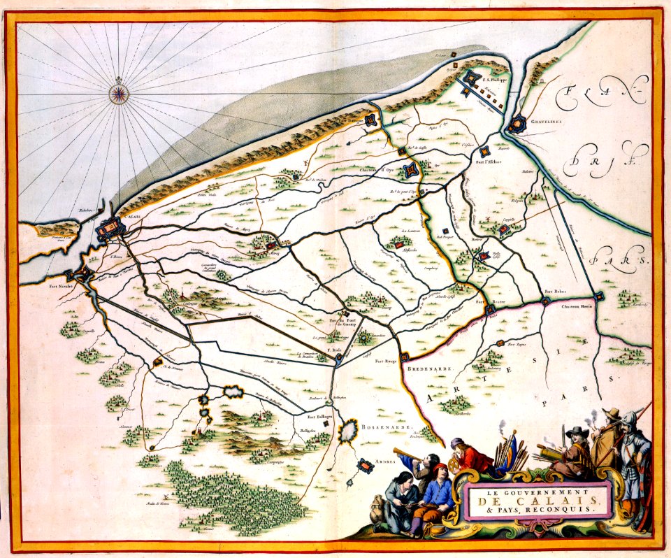
17th-century maps of france
maps with cartouches
gilles-marie oppenord
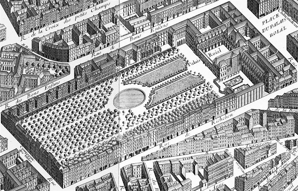
palais-royal
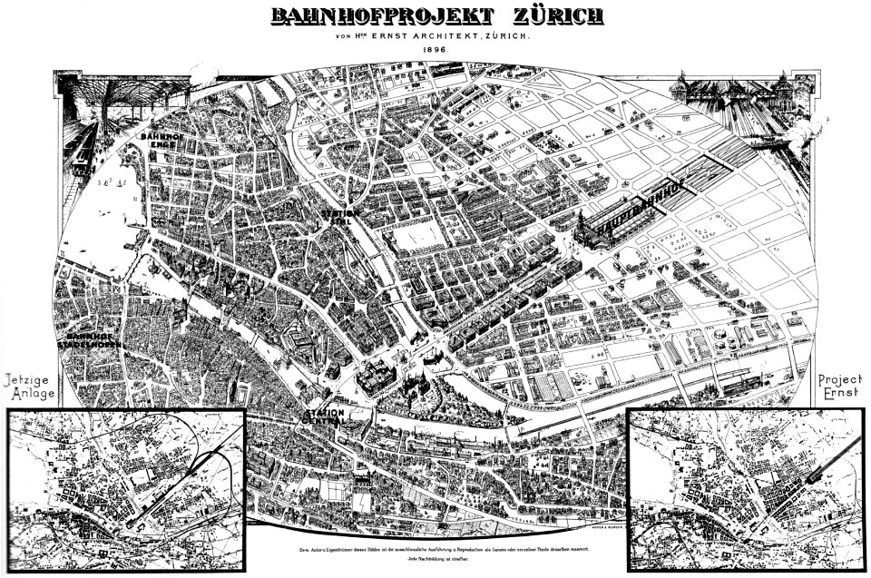
history of rail transport in switzerland
aussersihl
hôtel de guénégaud (quai de nevers)
hôtel de nevers (left bank)
maps made in the 17th century
old maps of gelderland
gerard valck
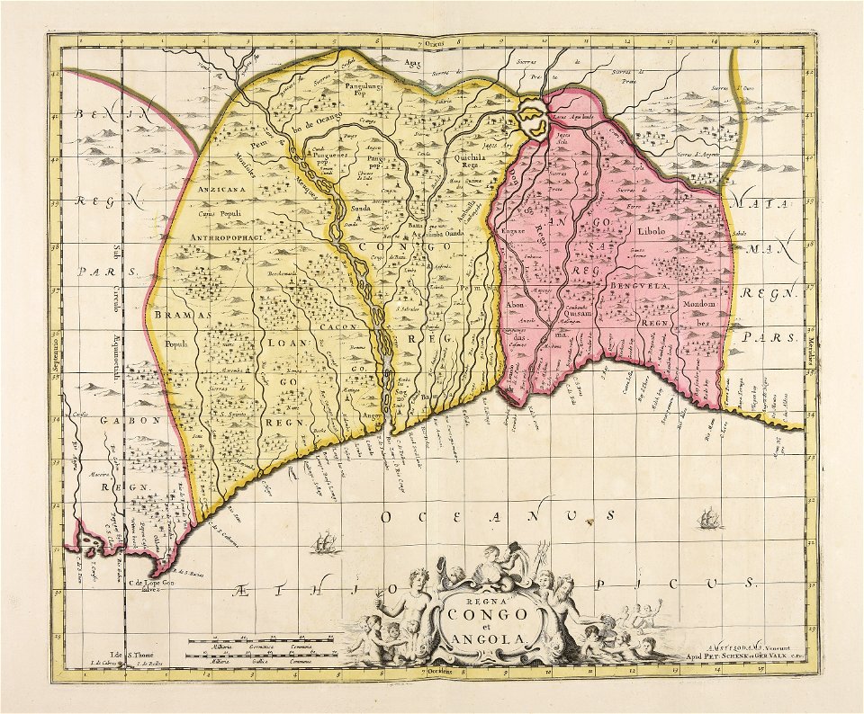
angola
architectural prints by wenzel hollar
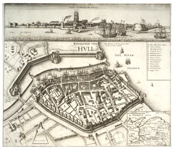
fortifications of kingston upon hull
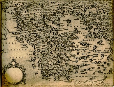
voyage pittoresque de la grèce
i̇zmir in the 18th century
maps made in the 18th century
gerard valck
maps by willem and johannes blaeu
maps made in the 17th century
charts and maps of the royal museums greenwich
1590 maps
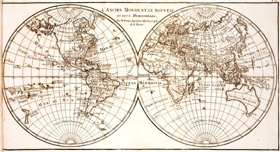
world map
project
maps made in the 18th century
gerard valck
middle ages in france
alexandre du mège
maps made in the 17th century
cornelis danckerts (ii)
maps made in the 17th century
gerard valck
prints from the peace palace library
utrecht in the 18th century
maps made in the 17th century
nicolaes visscher ii
streets in hamburg-langenhorn
hamburger stadtentwässerung
maps made in the 18th century
maps by pieter schenk (i)
maps made in the 17th century
cornelis danckerts (i)
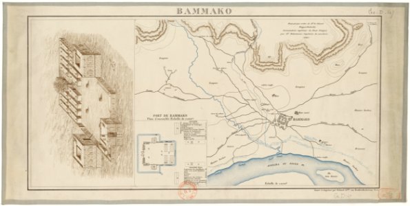
bamako in the 1880s
military maps
mataram sultanate
rembang regency
maps with cartouches
old maps of malta
johann baptist homann
1720s maps of egypt
maps made in the 18th century
johann baptist homann
collections de la bibliothèque nationale et universitaire de strasbourg
old maps of asia
atlantis magni tomus quartus (biblioteca comunale di trento)
maps made in the 17th century
french colonization in africa
military maps
maps made in the 18th century
gerard valck
maps made in the 17th century
nicolaes visscher ii
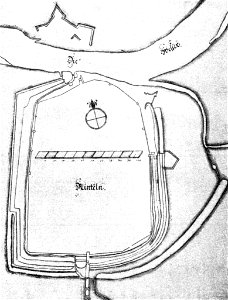
stadtbefestigung rinteln
maps of rinteln
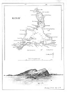
old maps of the outer hebrides
north rona
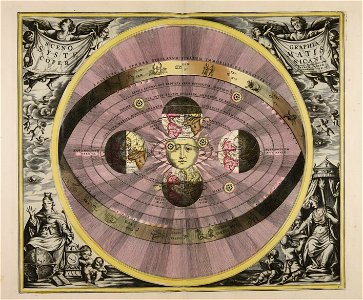
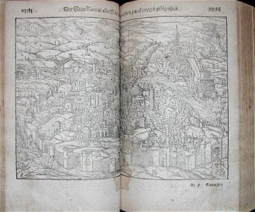
illustrations of cosmographia (münster)
old maps of rome
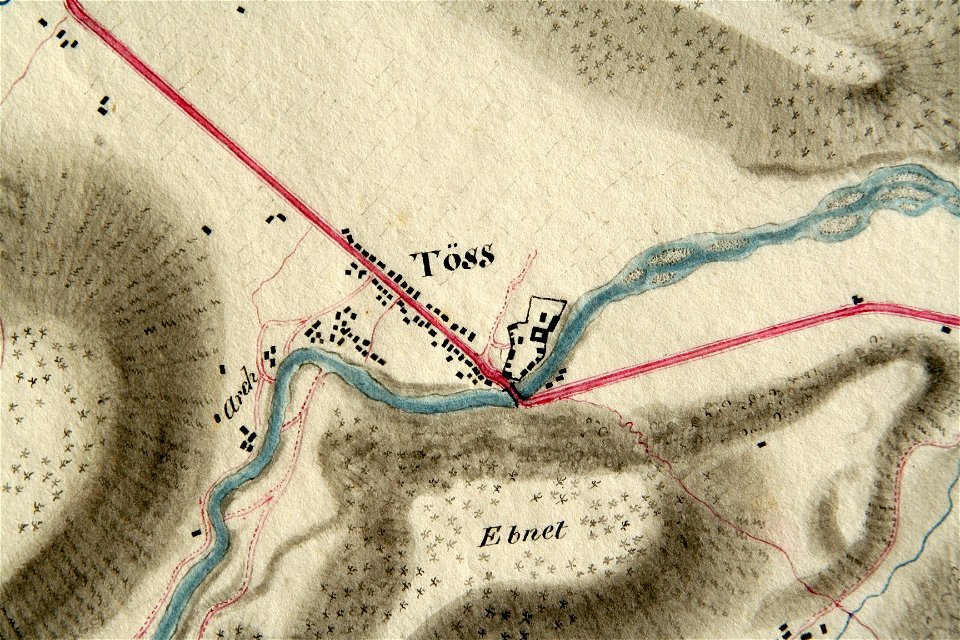
töss (winterthur)
töss abbey
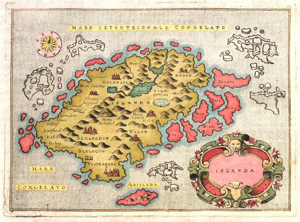
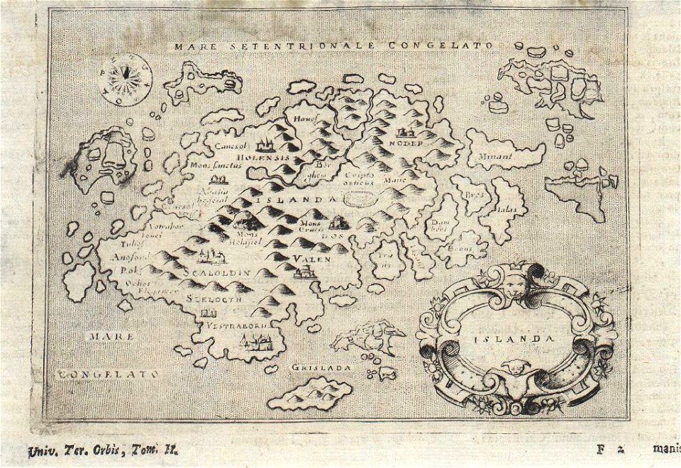
provided by landsbókasafn íslands
maps by giovanni antonio magini
provided by landsbókasafn íslands
16th-century maps of iceland
city maps with villa berg
provided by landsbókasafn íslands
18th-century maps of iceland
provided by landsbókasafn íslands
18th-century maps of iceland
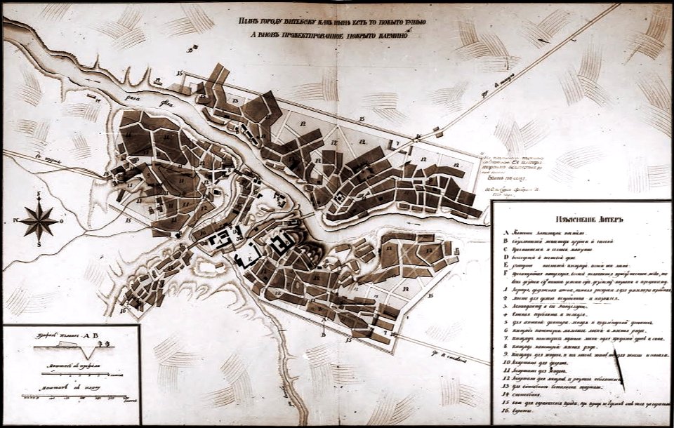
historical images of viciebsk
maps of viciebsk
description de l'universe
old map
old map of stockholm 1642
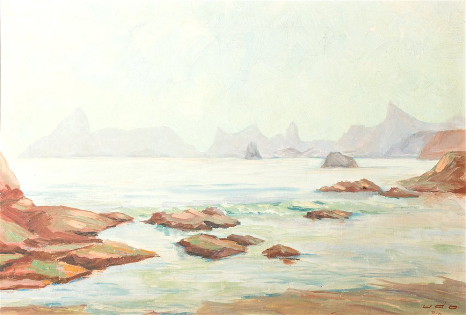
drawings in the museu antônio parreiras
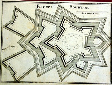
old maps of bourtange
vesting bourtange
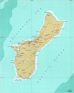
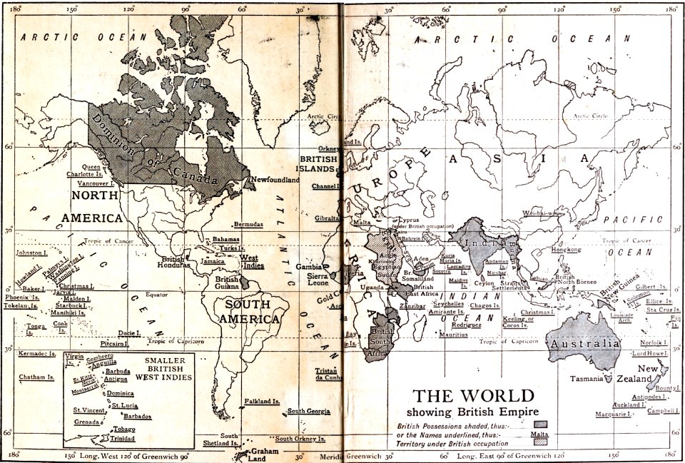
national atlas of the united states
maps of guam
engravings of topographia saxoniae inferioris
maps of halberstadt
paintings in the museu antônio parreiras
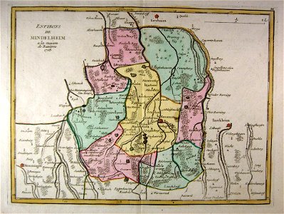
old maps of bavaria
mindelheim
maps by willem and johannes blaeu
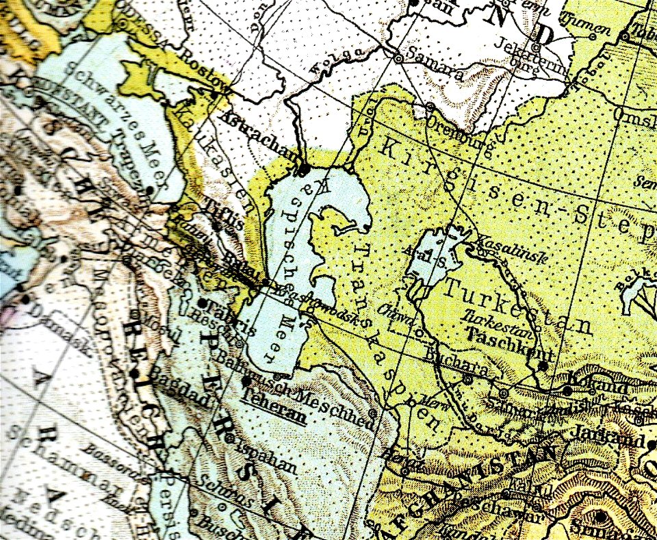
old maps of the caspian sea
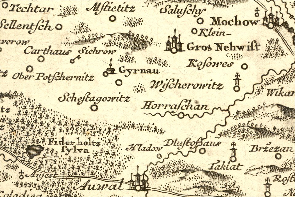
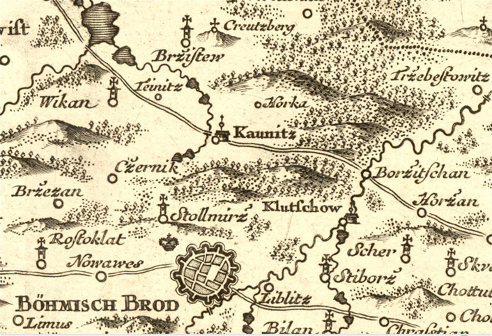
details of müller's map of bohemia
plánice
historical images of pinsk
maps of pinsk
1630s maps of africa
matthäus merian
1750
a history of england (1911)
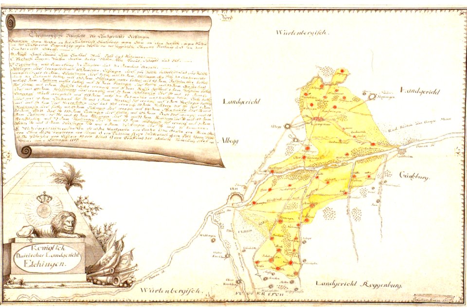
history of elchingen
old maps of bavaria
netherlands in the 1660s
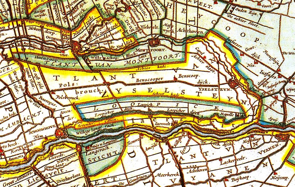
old maps of utrecht
details of müller's map of bohemia
jirny
provided by landsbókasafn íslands
maps by giovanni antonio magini
friedrich bernhard werner
old map
details of müller's map of bohemia
kounice
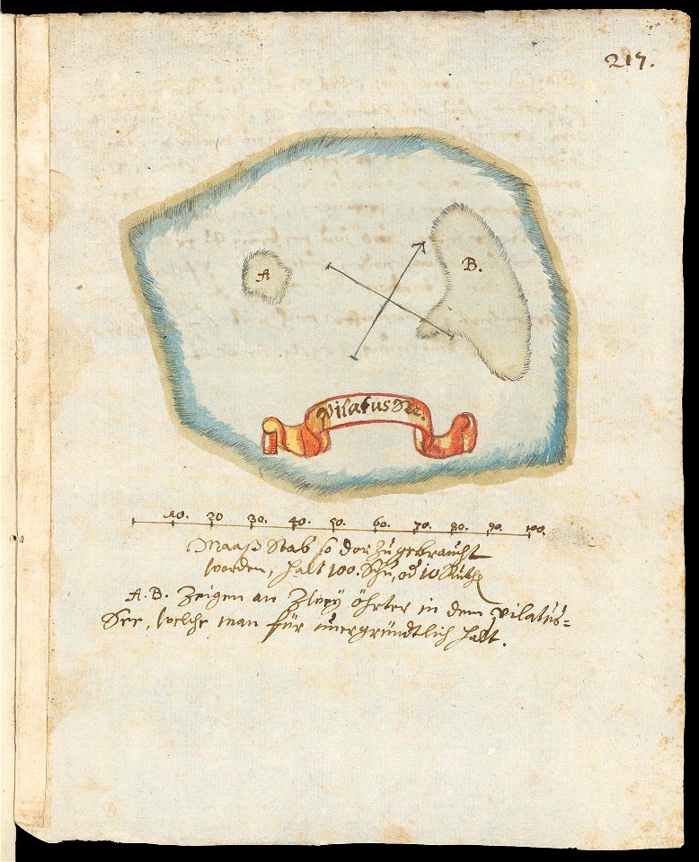
maps of lakes of switzerland
pilatussee
maps of finnish war
paintings in the museu antônio parreiras
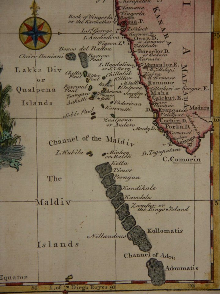
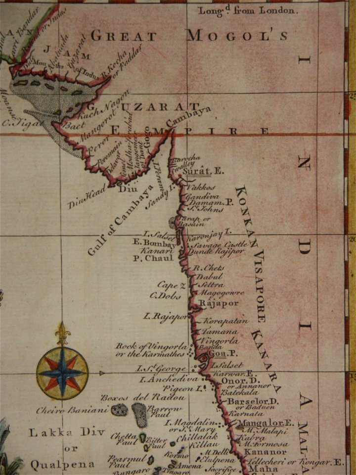
18th-century maps of india
thomas salmon (historian)
18th-century maps of india
thomas salmon (historian)
drawings (documentary) collection in the library of congress
giovanni camocio
description de l'universe
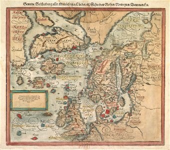
1770s maps of denmark
elementarwerk
6801 - 6900 of 38,713
Next page
/ 388