Log in
All resources
Create a design
38,713 Free Artworks of Map
bibliothèque nationale de france
maps
cartography
fondo antiguo
cartografía
cartografía, mapas | cartography, maps
jerusalem
libros del siglo xvi
jerusalén
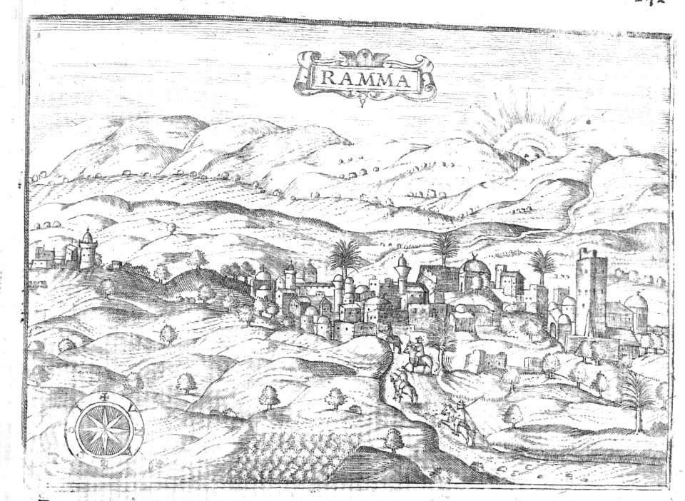
itinerarium hierosolymitanum et syriacum..., 1619
maps by george w. boynton
1840s maps of boston
1762 maps of north america
maps by tomas lopez
maps of paris by braun & hogenberg
maps in the british museum
maps by alexis-hubert jaillot
old maps of duchy of cleves
algiers in the 19th century
old maps of algiers
media from regionaal archief alkmaar
maps of barsingerhorn
the antiquities of england and wales (1773)
1784 fleurons
eran laor cartographic collection
maps of prague by joris hoefnagel
atlas des anciens plans de paris by imprimerie nationale, 1880 from bhvp
plan de roussel
gemeente atlas van nederland - north holland
maps of bussum
cartography
maps
beschreibung und contrafactur der vornembster stät der welt, liber primus civitates orbis terrarum
maps of kassel by braun & hogenberg
tresor des cartes geographiques (1659)
1650s maps of asia
tresor des cartes geographiques (1659)
1659 maps of africa
atlas van der hagen (volume 3)
atlas van der hagen
tresor des cartes geographiques (1659)
1650s maps of the americas
beschreibung und contrafactur der vornembster stät der welt, liber primus civitates orbis terrarum
maps of lübeck by braun & hogenberg
tresor des cartes geographiques (1659)
1650s maps of portugal
beschreibung und contrafactur der vornembster stät der welt, liber primus civitates orbis terrarum
maps of montpellier by braun & hogenberg
beschreibung und contrafactur der vornembster stät der welt, liber primus civitates orbis terrarum
maps of genoa by braun & hogenberg
tresor des cartes geographiques (1659)
1650s maps of iran
bibliothèque nationale de france
sanson map of lorraine
tresor des cartes geographiques (1659)
1650s maps of france
beschreibung und contrafactur der vornembster stät der welt, liber primus civitates orbis terrarum
maps of écija by braun & hogenberg
beschreibung und contrafactur der vornembster stät der welt, liber primus civitates orbis terrarum
maps of wittenberg by braun & hogenberg
tresor des cartes geographiques (1659)
1659 maps of europe
beschreibung und contrafactur der vornembster stät der welt, liber primus civitates orbis terrarum
maps of brouwershaven by braun & hogenberg
tresor des cartes geographiques (1659)
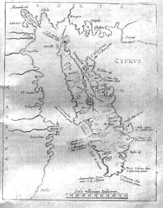
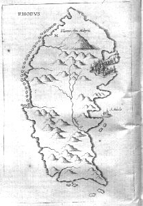
1650s maps of greece
old maps of blankenberge
flandria illustrata
engraved maps
baroque
cartography
maps
cartography
maps
cartography
maps
cartography
maps
cartography
maps
cartography
maps
cartography
maps
through the subarctic forest (1896) by pike
1890s maps of alaska
scripture sites and scenes, from actual survey (1849)
maps of the temple mount
scripture sites and scenes, from actual survey (1849)
1840s maps of jerusalem
maps by guillaume sanson
old maps of friesland
1698 map of evesché de meaux
robert cordier (engraver)
maps in the rijksmuseum amsterdam
18th-century maps showing history
maps of wallachia by gerardus mercator
maps by willem and johannes blaeu
maps of eckernförde by braun & hogenberg
frans hogenberg
cartography
maps
cartography
maps
maps of ghent by braun & hogenberg
atlas ou representation du monde universel t. 2 (1633)
1630s maps of virginia
maps from university of amsterdam special collections
atlas der neederlanden
atlas ou representation du monde universel t. 2 (1633)
old maps of nuremberg
maps from university of amsterdam special collections
atlas der neederlanden
portsmouth earthworks maps
squier and davis images
turgot map of paris, kyoto university library – derivative files
enclos saint-lazare
maps of bamberg by braun & hogenberg
lawrence h. slaughter collection of english maps, charts, globes, books and atlases
atlas novus (blaeu)
lawrence h. slaughter collection of english maps, charts, globes, books and atlases
atlas novus (blaeu)
maps from géographie illustrée de la france et de ses colonies
orientalist painting
maps of emden by braun & hogenberg
coats of arms of cirksena family
johann heinrich schmidt (fornaro)
baroque
maps of besançon by braun & hogenberg
eran laor cartographic collection
the antiquities of england and wales (1773)
1784 fleurons
the antiquities of england and wales (1773)
1784 fleurons
1771 maps of asia
andrew dury
the earth and its inhabitants, vol. xii: africa, vol. iii
canary islands in the 1890s
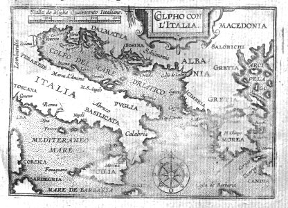
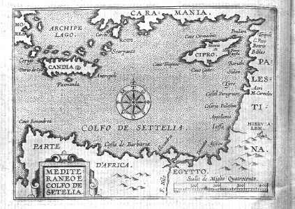
carte de la mer méditerranée en trois feuilles (dheulland et al.)
18th-century maps of the western mediterranean
17th-century maps of xaintonge
maps by jodocus hondius ii
1777 maps of south america
maps by thomas kitchin
carte de la mer méditerranée en trois feuilles (dheulland et al.)
18th-century maps of the eastern mediterranean
description de l'universe
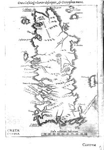
old maps of greece
historical maps of crema
borgo san pietro (crema)
theatrum orbis terrarum (1606 folger)
maps of wales by humphrey llwyd
maps by pieter mortier
maps from gallica
everett d. graff collection of western americana
george f. cram
maps by pieter mortier
maps from gallica
carte de la mer méditerranée en trois feuilles (dheulland et al.)
old maps of the central mediterranean
egypt by david roberts
orientalism
cartography
maps
print room of the university of antwerp
lithographs of antwerp
maps of the iberian peninsula by mercator-hondius
maps by pieter van der keere
2006 stamps of lithuania
magni ducatus lithuaniae
scripture sites and scenes, from actual survey (1849)
1840s maps of palestine
through the subarctic forest (1896) by pike
1890s maps of alaska
description de l'universe
alain manesson mallet
merian sueviae
baroque
carte particulière des environs de paris
maps of saint-denis (seine-saint-denis)
old maps of farmakonisi
old maps of agathonisi
the land of the monuments (1896)
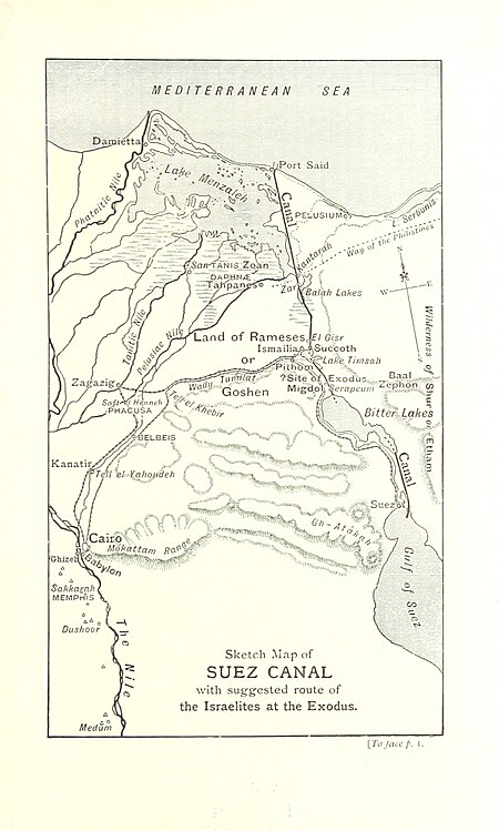
old maps of the suez canal
maps from the earth and its inhabitants, vol. xiv
maps of the southern ocean
arctic expeditions from british and foreign shores - from the earliest to the expedition of 1875 (1875)
1870s maps of canada
description de l'universe
alain manesson mallet
maps by jean-baptiste bourguignon d'anville
1727 maps of africa
map of the upper rhenian circle by sanson
1670s maps of hesse
the british monarchy (1743)
maps in the british museum
map of the upper rhenian circle by sanson
1700s maps of north rhine-westphalia
maps of los palacios by braun & hogenberg
maps of las cabezas by braun & hogenberg
sanson maps of the netherlands
1680s maps of the netherlands
maps of the islands of greece by marco boschini (1658)
old maps of the peloponnese
17th-century maps of the strait of magellan
1668 maps of south america
1780s maps of tunisia
1780s maps of libya
19901 - 20000 of 38,713
Next page
/ 388


![Lutetia vulgari nomine Paris [...], 1630-1750 (circa)](https://cdn.creazilla.com/illustrations/10000472156/lutetia-vulgari-nomine-paris-1630-1750-circa-sm.webp)


![Beschreibung und Contrafactur der Vornembster stät der Welt, liber primus [Civities of the World], 1574](https://cdn.creazilla.com/illustrations/10000927209/beschreibung-und-contrafactur-der-vornembster-stt-der-welt-liber-primus-civities-of-the-world-1574-sm.webp)
![Treasure of geographical maps of the main states of the universe [...], 1659](https://cdn.creazilla.com/illustrations/10001176342/treasure-of-geographical-maps-of-the-main-states-of-the-universe-1659-sm.jpg)
![Treasure of geographical maps of the main states of the universe [...], 1659](https://cdn.creazilla.com/illustrations/10001227179/treasure-of-geographical-maps-of-the-main-states-of-the-universe-1659-md.jpg)
![Stadsprofiel van] NAPOLI, 1704](https://cdn.creazilla.com/illustrations/10000682766/stadsprofiel-van-napoli-1704-md.jpeg)
![Treasure of geographical maps of the main states of the universe [...], 1659](https://cdn.creazilla.com/illustrations/10000397491/treasure-of-geographical-maps-of-the-main-states-of-the-universe-1659-sm.webp)
![Beschreibung und Contrafactur der Vornembster stät der Welt, liber primus [Civities of the World], 1574](https://cdn.creazilla.com/illustrations/10000396457/beschreibung-und-contrafactur-der-vornembster-stt-der-welt-liber-primus-civities-of-the-world-1574-sm.webp)
![Treasure of geographical maps of the main states of the universe [...], 1659](https://cdn.creazilla.com/illustrations/10000360844/treasure-of-geographical-maps-of-the-main-states-of-the-universe-1659-md.jpg)
![Beschreibung und Contrafactur der Vornembster stät der Welt, liber primus [Civities of the World], 1574](https://cdn.creazilla.com/illustrations/10000465477/beschreibung-und-contrafactur-der-vornembster-stt-der-welt-liber-primus-civities-of-the-world-1574-sm.webp)
![Beschreibung und Contrafactur der Vornembster stät der Welt, liber primus [Civities of the World], 1574](https://cdn.creazilla.com/illustrations/10000676885/beschreibung-und-contrafactur-der-vornembster-stt-der-welt-liber-primus-civities-of-the-world-1574-sm.webp)
![Treasure of geographical maps of the main states of the universe [...], 1659](https://cdn.creazilla.com/illustrations/10000659025/treasure-of-geographical-maps-of-the-main-states-of-the-universe-1659-md.jpg)

![Treasure of geographical maps of the main states of the universe [...], 1659](https://cdn.creazilla.com/illustrations/10001054877/treasure-of-geographical-maps-of-the-main-states-of-the-universe-1659-sm.jpg)
![Beschreibung und Contrafactur der Vornembster stät der Welt, liber primus [Civities of the World], 1574](https://cdn.creazilla.com/illustrations/10001057516/beschreibung-und-contrafactur-der-vornembster-stt-der-welt-liber-primus-civities-of-the-world-1574-sm.webp)
![Beschreibung und Contrafactur der Vornembster stät der Welt, liber primus [Civities of the World], 1574](https://cdn.creazilla.com/illustrations/10001167646/beschreibung-und-contrafactur-der-vornembster-stt-der-welt-liber-primus-civities-of-the-world-1574-sm.webp)
![Treasure of geographical maps of the main states of the universe [...], 1659](https://cdn.creazilla.com/illustrations/10001200125/treasure-of-geographical-maps-of-the-main-states-of-the-universe-1659-sm.webp)
![Beschreibung und Contrafactur der Vornembster stät der Welt, liber primus [Civities of the World], 1574](https://cdn.creazilla.com/illustrations/10001294518/beschreibung-und-contrafactur-der-vornembster-stt-der-welt-liber-primus-civities-of-the-world-1574-sm.webp)
![Treasure of geographical maps of the main states of the universe [...], 1659](https://cdn.creazilla.com/illustrations/10001292785/treasure-of-geographical-maps-of-the-main-states-of-the-universe-1659-sm.webp)


![Gerardi Mercatoris and I. Hondii Atlas or Representation of the Universal World, and of the Parts of It, Made in Tables and Very Ample Descriptions. [t. 2].](https://cdn.creazilla.com/illustrations/10001569396/gerardi-mercatoris-and-i-hondii-atlas-or-representation-of-the-universal-world-and-of-the-parts-of-it-made-in-tables-and-very-ample-descriptions-t-2-sm.webp)
![Map of Holland and Surrounding Provinces - Nicolaus Visscher, Gilliam van der Gouwen, [after 1705]](https://cdn.creazilla.com/illustrations/10000302103/map-of-holland-and-surrounding-provinces-nicolaus-visscher-gilliam-van-der-gouwen-after-1705-md.jpg)
![Gerardi Mercatoris and I. Hondii Atlas or Representation of the Universal World, and of the Parts of It, Made in Tables and Very Ample Descriptions. [t. 2].](https://cdn.creazilla.com/illustrations/10001133003/gerardi-mercatoris-and-i-hondii-atlas-or-representation-of-the-universal-world-and-of-the-parts-of-it-made-in-tables-and-very-ample-descriptions-t-2-sm.webp)