Log in
All resources
Create a design
38,713 Free Artworks of Map
description de l'universe
alain manesson mallet
africa in the 1890s
maps of africa
bibliothèque nationale de france
eran laor cartographic collection
maps from the earth and its inhabitants, vol. xii
tranquillo mollo
arnold's geographical handbook (1899)
maps from the earth and its inhabitants, vol. xiii
maps from the earth and its inhabitants, vol. xii
old maps of tenerife
maps from the earth and its inhabitants, vol. ix
old maps of medina
maps from the earth and its inhabitants, vol. x
maps of weather and climate of africa
maps from the earth and its inhabitants, vol. xvi
archaeological maps of mexico
maps from the earth and its inhabitants, vol. x
religion maps of africa
arnold's geographical handbook (1899)
1890s maps of england
arnold's geographical handbook (1899)
maps of the panama canal
maps by willem and johannes blaeu
1630s maps of the americas
eran laor cartographic collection
tranquillo mollo
maps of carmel valley, california
james meadows
old maps of frankfurt (oder)
old maps of brandenburg
eran laor cartographic collection
tranquillo mollo
maps from the earth and its inhabitants, vol. xii
africa in the 1890s
maps from the earth and its inhabitants, vol. xiii
africa in the 1890s
maps from the earth and its inhabitants, vol. xiii
africa in the 1890s
maps from the earth and its inhabitants, vol. xii
africa in the 1890s
maps from the earth and its inhabitants, vol. xi
africa in the 1890s
maps from the earth and its inhabitants, vol. xi
africa in the 1890s
maps from the earth and its inhabitants, vol. xii
africa in the 1890s
maps from the earth and its inhabitants, vol. xiii
africa in the 1890s
maps from the earth and its inhabitants, vol. xii
africa in the 1890s
maps from the earth and its inhabitants, vol. xii
africa in the 1890s
atlas van der hagen (volume 3)
atlas van der hagen
prints by ambrogio brambilla
old maps of parma
ceiling of the terrace of the geographical maps (uffizi gallery, florence)
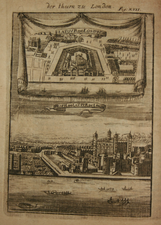
maps of fortress of charlemont by braun & hogenberg
maps of givet and charlemont city walls
viktoriastraße (berlin-lichterfelde)
parts of old maps of berlin
gemeente atlas van nederland - drenthe
maps of de wolden
mappa geographica novissima regni hungariae, - divisi in suos comitatus cum districtibus jazygum et cumanorum banatus temesiensis ejusque districtuum nec non regnorum croatiae sclavoniae dalmatiae magni... - btv1b532332906
tranquillo mollo
mappa geographica novissima regni hungariae, - divisi in suos comitatus cum districtibus jazygum et cumanorum banatus temesiensis ejusque districtuum nec non regnorum croatiae sclavoniae dalmatiae magni... - btv1b532332906
tranquillo mollo
mappa geographica novissima regni hungariae, - divisi in suos comitatus cum districtibus jazygum et cumanorum banatus temesiensis ejusque districtuum nec non regnorum croatiae sclavoniae dalmatiae magni... - btv1b532332906
tranquillo mollo
mappa geographica novissima regni hungariae, - divisi in suos comitatus cum districtibus jazygum et cumanorum banatus temesiensis ejusque districtuum nec non regnorum croatiae sclavoniae dalmatiae magni... - btv1b532332906
tranquillo mollo
maps of dresden by braun & hogenberg
maps of leipzig by braun & hogenberg
a map of the british empire in america with the french and spanish settlements adjacent thereto
1730s maps of the caribbean
fra mauro map details
eran laor cartographic collection
joachim ottens
maps in the library of congress
1748 maps of europe
1800s maps of the americas
maps by john cary
french-language maps
daniel de la feuille
russian empire in thomas kitchen's general atlas (1773)
general atlas (1773)
eran laor cartographic collection
guillaume sanson
eran laor cartographic collection
adolf eltzner
a voyage to abyssinia, and travels into the interior of that country, executed under the orders of the british government in the years 1809 & 1810
john outhett
1799 maps of italy
maps by john cary
german renaissance,northern renaissance
maps in the british museum
maps of haussmann's renovation of paris
rue de médicis (paris)
bibliothèque nationale de france
guillaume sanson
geneviève brossard de beaulieu
jean-françois de la pérouse
drawings by jan veth in the rijksmuseum amsterdam
book covers in the rijksmuseum amsterdam
maps of heidelberg by braun & hogenberg
maps of speyer by braun & hogenberg
maps of portugal by fernando álvares seco
kingdom of the algarve
18th-century maps of kent
maps by thomas kitchin
maps in the library of congress
1777 maps of new york (state)
topographia franconiae (merian)
baroque
maps from the earth and its inhabitants, vol. xiii
africa in the 1890s
maps from the earth and its inhabitants, vol. xiii
africa in the 1890s
maps of gdańsk by braun & hogenberg
eran laor cartographic collection
grote of sint-bartholomeüskerk (schoonhoven)
old maps of schoonhoven
maps of amsterdam by braun & hogenberg
eran laor cartographic collection
dutch 18th-century paintings in the rijksmuseum amsterdam
august christian hauck
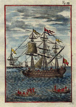
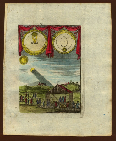
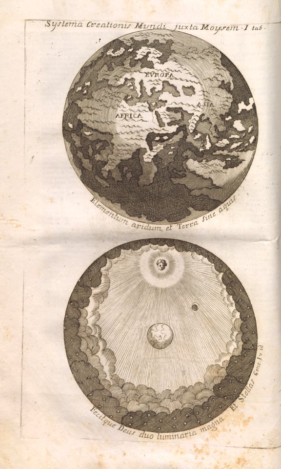
description de l'universe
1710s ships
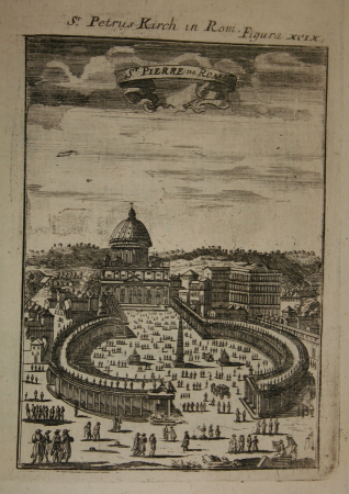
description de l'universe
alain manesson mallet
description de l'universe
alain manesson mallet
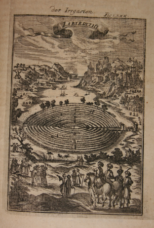
description de l'universe
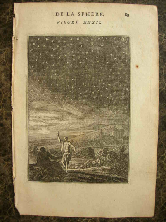
comets in art
description de l'universe
alain manesson mallet
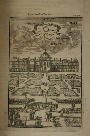
description de l'universe
alain manesson mallet
description de l'universe
alain manesson mallet
description de l'universe
1680s ships
description de l'universe
alain manesson mallet
description de l'universe
alain manesson mallet
description de l'universe
alain manesson mallet
description de l'universe
1685 in africa
description de l'universe
alain manesson mallet
description de l'universe
alain manesson mallet
description de l'universe
alain manesson mallet
description de l'universe
alain manesson mallet
description de l'universe
alain manesson mallet
the cruise of the marchesa (1889)
maps of sumbawa
the cruise of the marchesa (1889)
old maps of kamchatka
description de l'universe
alain manesson mallet
description de l'universe
alain manesson mallet
description de l'universe
alain manesson mallet
description de l'universe
alain manesson mallet
description de l'universe
alain manesson mallet
description de l'universe
alain manesson mallet
description de l'universe
alain manesson mallet
description de l'universe
alain manesson mallet
description de l'universe
alain manesson mallet
description de l'universe
alain manesson mallet
a voyage to abyssinia, and travels into the interior of that country, executed under the orders of the british government in the years 1809 & 1810
john outhett
hôtel du petit-bourbon
old submaps of paris
cartography
maps
1890s maps of england
1890s maps of wales
arnold's geographical handbook (1899)
1899 maps of china
arnold's geographical handbook (1899)
1899 maps of spain
the turkish empire in europe, asia and africa (1752)
history of gəncə
maps of the west-indische compagnie
1665
description de l'universe
alain manesson mallet
description de l'universe
alain manesson mallet
description de l'universe
alain manesson mallet
18701 - 18800 of 38,713
Next page
/ 388


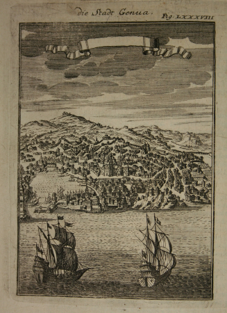
![Stadsprofiel van] GENOA, 1704](https://cdn.creazilla.com/illustrations/10000768860/stadsprofiel-van-genoa-1704-md.jpeg)