Log in
All resources
Create a design
38,713 Free Artworks of Map
maps by willem and johannes blaeu
british library
joan blaeu
1667 maps
copper engraving print
bibliothèque nationale de france
ships on maps
atlas van loon
maps from the earth and its inhabitants, vol. iv
1660s maps of spain
1660s maps of spain
1667 maps
images of places from encyclopædia britannica
old maps of edinburgh
maps of the land of oz
1914 maps
ferrariae ducatus (galleria delle carte geografiche)
valli di comacchio
atlas maior, vol 5 (england) - joan blaeu, 1667 - bl 114.h(star).5
1667 maps
1660s maps of spain
1667 maps
guide joanne espagne et portugal-1915
1915 maps
maps of canterbury by braun & hogenberg
william smith (herald and playwright)
maps by girolamo ruscelli
maps by girolamo porro
1660s maps of spain
1667 maps
maps by willem and johannes blaeu
1635 maps of africa
print room of the university of antwerp
citadel van antwerpen
maps of tangier by braun & hogenberg
maps of asilah by braun & hogenberg
maps of spain by tomas lopez
1761 maps of spain
1907 maps of the world
maps by girolamo porro
maps by willem and johannes blaeu
maps of barbary coast
english-language maps of asia
maps by john cary
maps from the earth and its inhabitants, vol. vii
charles eugène perron
french-language maps of turkey
1788 maps of turkey
bodleian maps collection
leo belgicus
maps by willem and johannes blaeu
old maps of breda, netherlands
maps in the staats- und universitätsbibliothek hamburg
maps of hamburg-altstadt
maps made in the 17th century
old maps of sicily
1831 maps of new york (state)
old maps of lower manhattan
1780s maps of the world
german renaissance
chicago and the midwest, newberry library
old maps of chicago
eran laor cartographic collection
english-language maps
tresor des cartes geographiques (1659)
old maps of the benelux
map of the circle of austria by sanson
1670s maps of austria
map of the circle of austria by sanson
1680s maps of austria
historisk atlas (stockholm, norstedt & söner, 1880)
19th-century maps of the british isles
fra mauro map
maps from university of amsterdam special collections
atlas der neederlanden
maps by gerard valck
atlas beudeker
maps from géographie illustrée de la france et de ses colonies
orientalist painting
1590s maps of the world
maps by girolamo porro
gemeente atlas van nederland - south holland
1860s maps of south holland
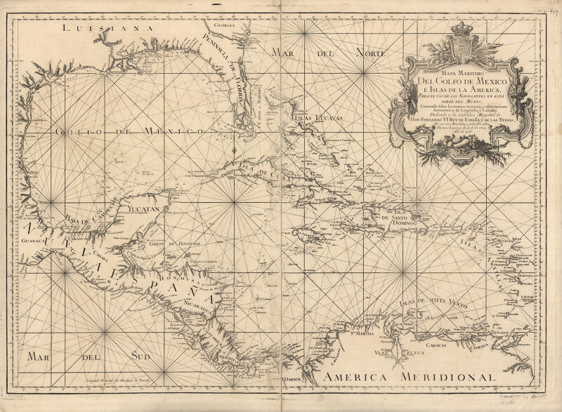
1810 maps of north america
1810 maps of mexico
old maps of utrecht (city)
atlas van loon
old maps of the nordic region
1840 maps
1748 maps of the netherlands
1740s maps of belgium
maps from the earth and its inhabitants, vol. iv
chorley, england
maps from the earth and its inhabitants, vol. xiv
1870s maps of new zealand
old maps of saxony
pieter schenk (ii)
siege of steenwijk 1592
maps of steenwijk
atlas maior, vol 6 (scotland and ireland) - joan blaeu, 1667 - bl 114.h(star).6
1667 maps
maps by jakob van der schley
1753 maps
14th-century illuminated manuscripts from spain
jong (ship)
maps by willem and johannes blaeu
atlas van loon
18th-century maps of antwerp
maps of antwerp city walls
map of ghent by foppens
map of ghent by foppens
coats of arms on maps
ships on maps
maps from the earth and its inhabitants, vol. xii
africa in the 1890s
curt teich postcard archives, curt teich & company
map postcards
maps from the earth and its inhabitants, vol. vii
maps of the history of beijing
maps by john cary
1801 maps
maps in the library of congress
1750s maps of central america
foire saint-germain on old maps
baroque
synopsis universae philologiae
1746 maps of africa
1747 persia map by emanuel bowen
1740s maps of georgia
17th-century maps of sri lanka
robert knox
description de l'universe
1680s maps of england
17th-century maps of the aegean sea
17th-century maps of greece
alphonsus lasor a varea
maps by jodocus hondius
17th-century maps of southeast asia
maps by jodocus hondius
hendrik de leth
1737 maps
gemeente atlas van nederland - south holland
1860s maps of south holland
maps from the earth and its inhabitants, vol. vii
charles eugène perron
lawrence h. slaughter collection of english maps, charts, globes, books and atlases
nypl lionel pincus and princess firyal map division
maps from the earth and its inhabitants, vol. iv
topographic maps of ireland
maps from the earth and its inhabitants, vol. xvii
maps of u.s. water resource subbasins
historisk atlas (stockholm, norstedt & söner, 1880)
maps showing 5th-century bc history
17th-century maps of the near east
maps by willem and johannes blaeu
hendrik van langren map of south asia
1590s maps of the levant
maps from the earth and its inhabitants, vol. iv
linguistic maps of the united kingdom
maps from the earth and its inhabitants, vol. ix
maps of south india
maps of weather and climate of the united kingdom
maps from the earth and its inhabitants, vol. iv
maps from the earth and its inhabitants, vol. xi
19th-century maps of chad
hoogheemraadschap rijnland map, 2nd edition, 1687
linen
daniel friedrich sotzmann
grosser deutscher atlas
guild houses in basel
baroque
maps of ghent by braun & hogenberg
moll's map collection
ice-bound on kolguev (1895) by trevor-battye
maps from the mechanical curator collection
hendrik van langren map of south asia
renaissance
turgot map of paris, kyoto university library – derivative files
église saint-sulpice on old maps
old maps of kreis kleve
history of geldern
maps by guillaume delisle
1745 maps
miniature speed atlas (1627) pieter van den keere
old county maps of cheshire
koninklijk oudheidkundig genootschap, amsterdam
map of amsterdam, 1544
17th-century maps of saxony
old maps of vogtland
maps by jodocus hondius
old maps of the guianas
old maps of the caucasus
the frosty caucasus
extracts from carta hydrographica y chorographica de las yslas filipinas
baroque painting
eran laor cartographic collection
latin-language maps
tourism advertising posters of germany
italian-language maps
curt teich postcard archives
map postcards
propaganda map
1529 maps
maps by willem and johannes blaeu
old maps of friesland
gemeente atlas van nederland - south holland
maps of heerjansdam
13501 - 13600 of 38,713
Next page
/ 388


![Tingis, Lusitanis, Tangiara; Tzaffin; Septa; Arzilla; Sala / [Georg Braun]; [Franz Hogenberg], 1572](https://cdn.creazilla.com/illustrations/10000939898/tingis-lusitanis-tangiara-tzaffin-septa-arzilla-sala-georg-braun-franz-hogenberg-1572-md.jpg)


![[Map of the Netherlands as 'Leo Belgicus' by Nikolaus Visscher, 1648], Nicolaes Visscher](https://cdn.creazilla.com/illustrations/10000445798/map-of-the-netherlands-as-leo-belgicus-by-nikolaus-visscher-1648-nicolaes-visscher-md.jpg)

![Hambvrgvm / [Georg Braun. Franz Hogenberg], Frans Hogenberg, circa 1590](https://cdn.creazilla.com/illustrations/10001252450/hambvrgvm-georg-braun-franz-hogenberg-frans-hogenberg-circa-1590-sm.jpg)


![Treasure of geographical maps of the main states of the universe [...], 1659](https://cdn.creazilla.com/illustrations/10000541161/treasure-of-geographical-maps-of-the-main-states-of-the-universe-1659-md.jpg)