Log in
All resources
Create a design
38,713 Free Artworks of Map
maps in the library of congress
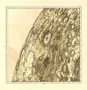
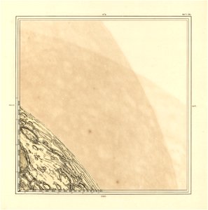
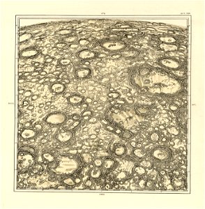
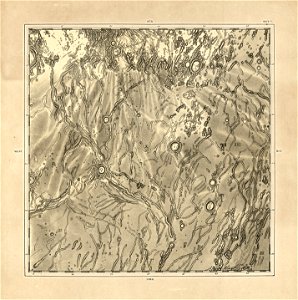
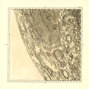
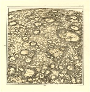
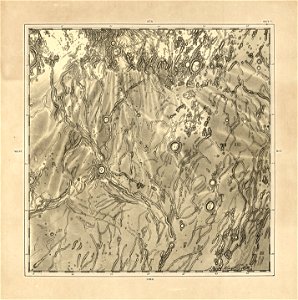
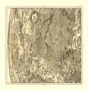
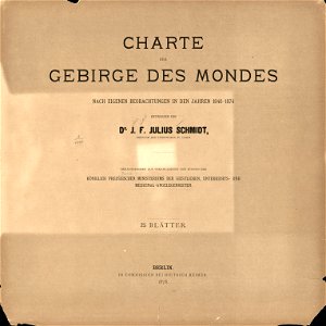
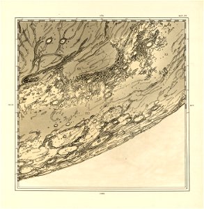
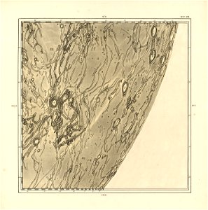
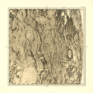
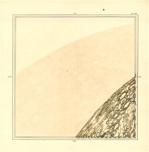
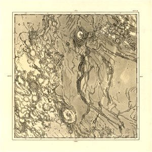
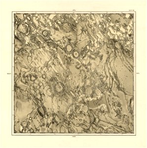
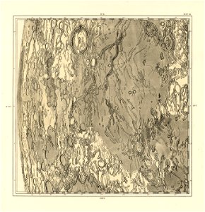
charte der gebirge des mondes nach eigenen beobachtungen in den jahren 1840-1874
atlantis magni tomus quintus (biblioteca comunale di trento)
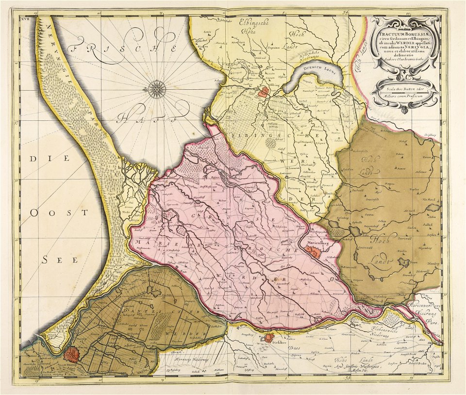
maps made in the 18th century
maps made in the 17th century
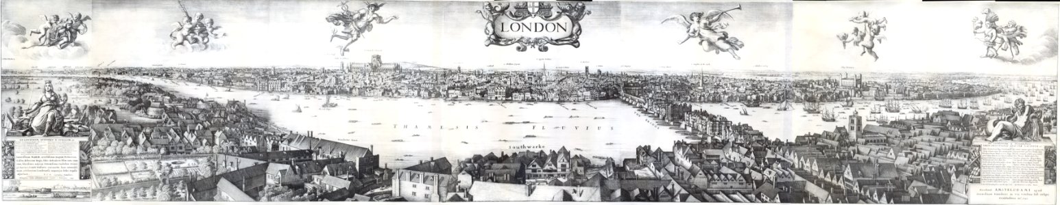
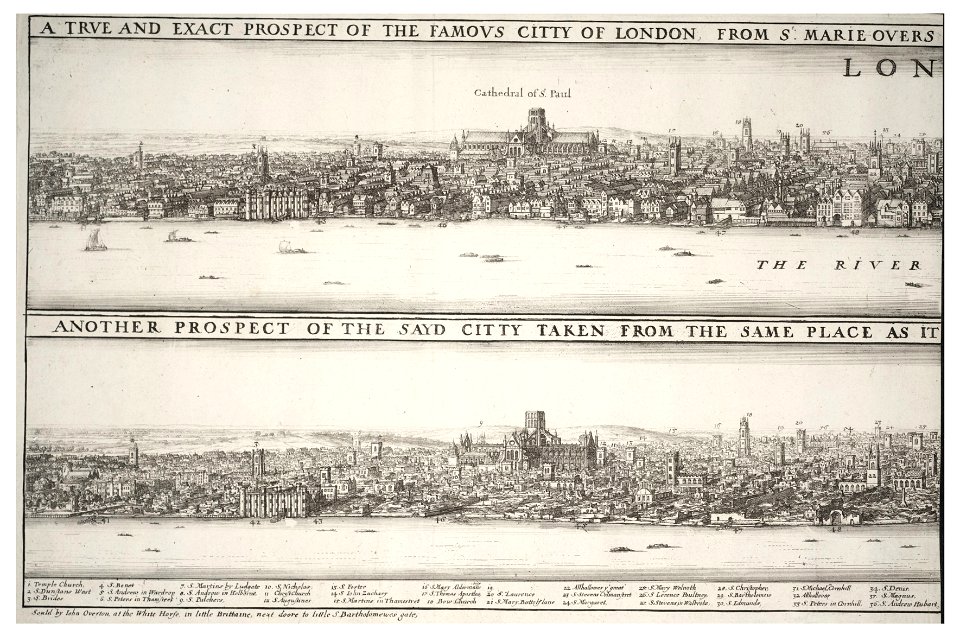
hollar maps and plans of london
university of toronto wenceslas hollar digital collection
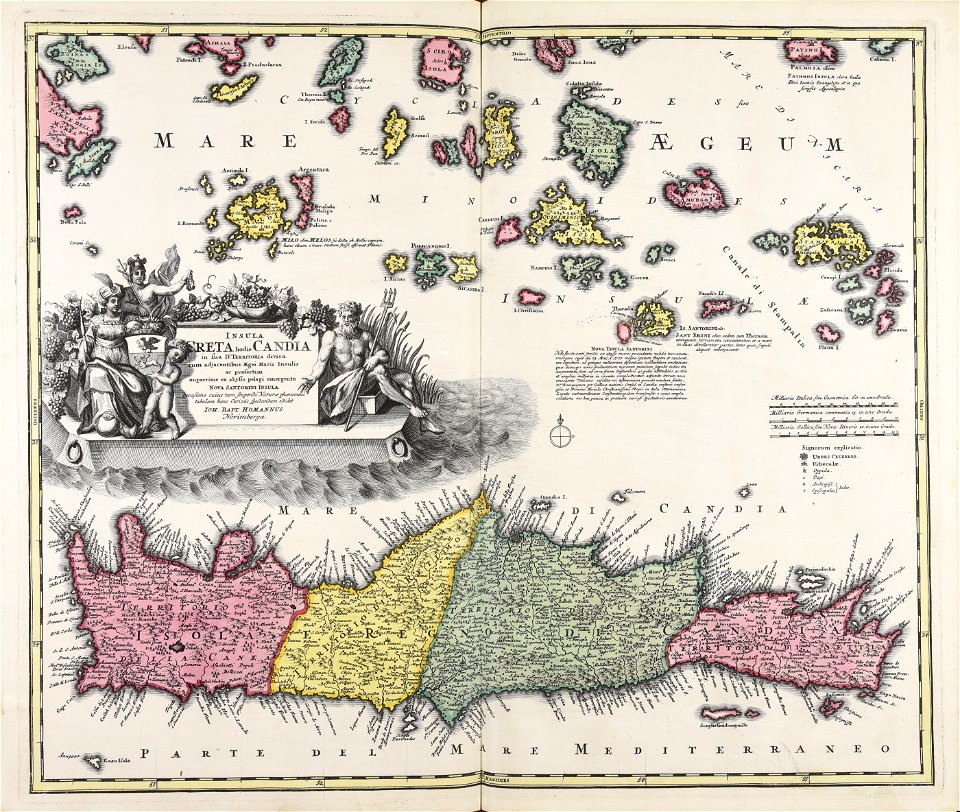
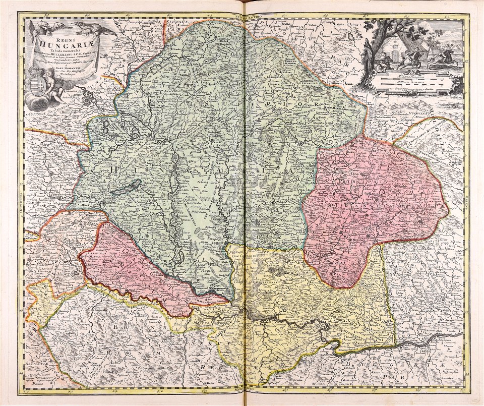
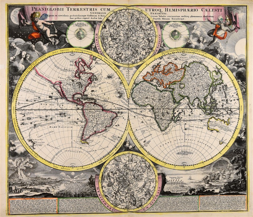
johann baptist homann
atlantis magni tomus quartus (biblioteca comunale di trento)
atlantis magni tomus secundus (biblioteca comunale di trento)
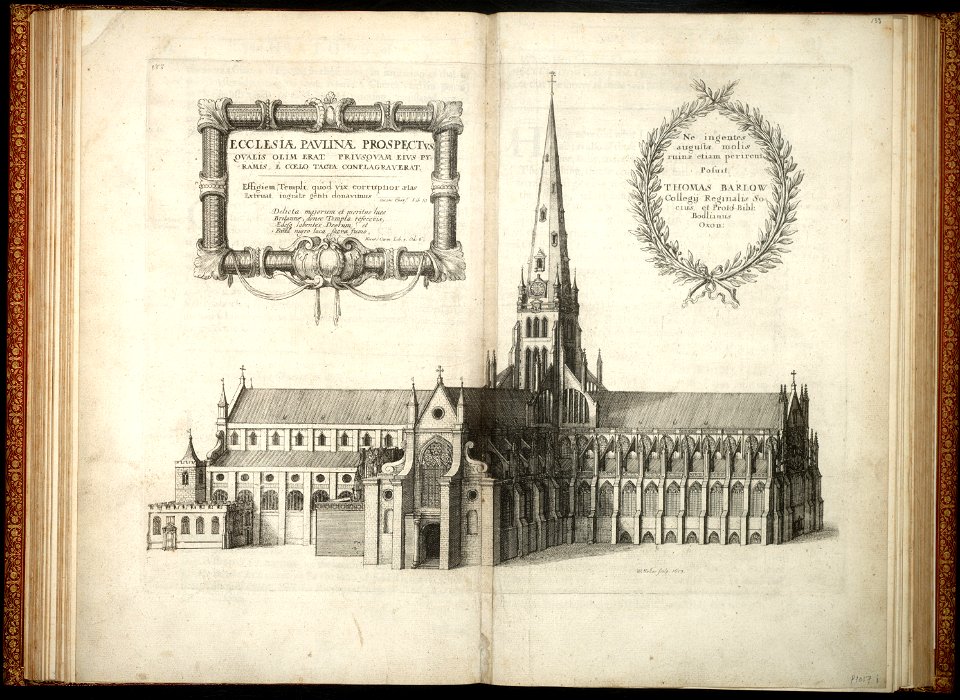
architectural prints by wenzel hollar
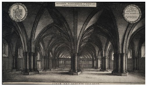
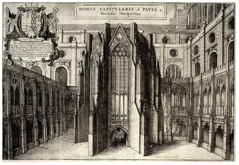
old st paul's cathedral
university of toronto wenceslas hollar digital collection
prints by wenzel hollar
'wenceslaus hollar'
landscape art
atlantis magni tomus quintus (biblioteca comunale di trento)
topographic maps made in 18th century
johann baptist homann
creta
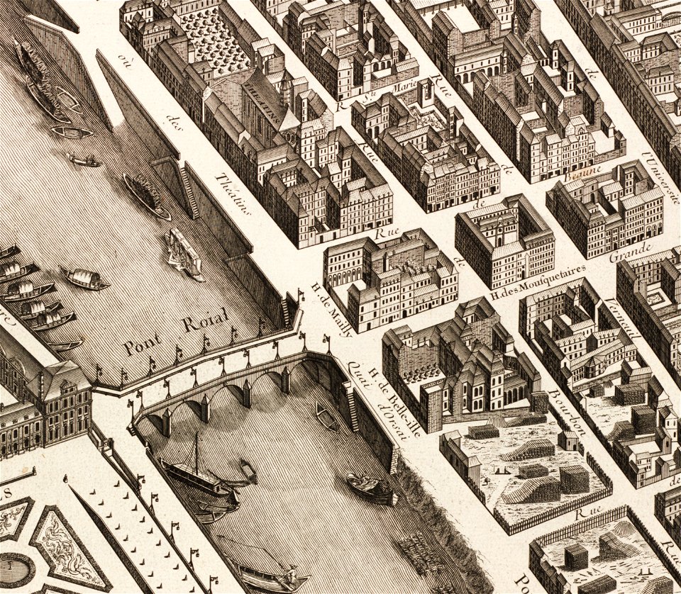
historical images of pont royal
musketeers of the guard
architectural prints by wenzel hollar
old st paul's cathedral
architectural prints by wenzel hollar
old st paul's cathedral
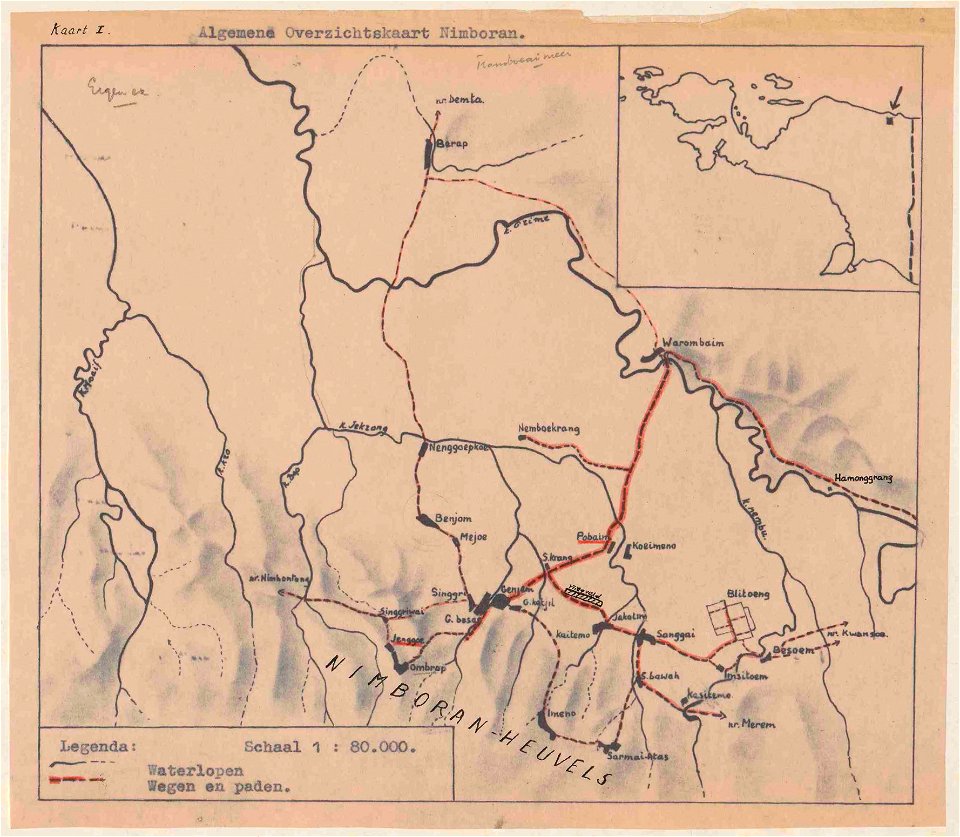
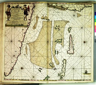
nova guinea vol. iv: bericht über einde im jahre 1903 ausgeführte reise nach neu-guinea
maps in utrecht university library
maps made in the 17th century
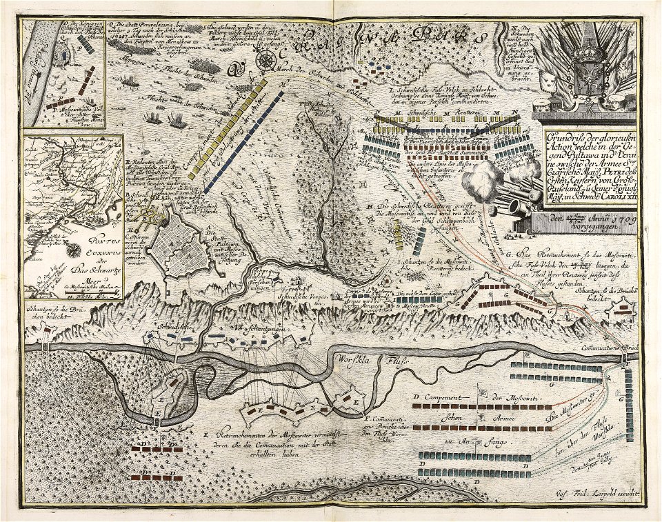
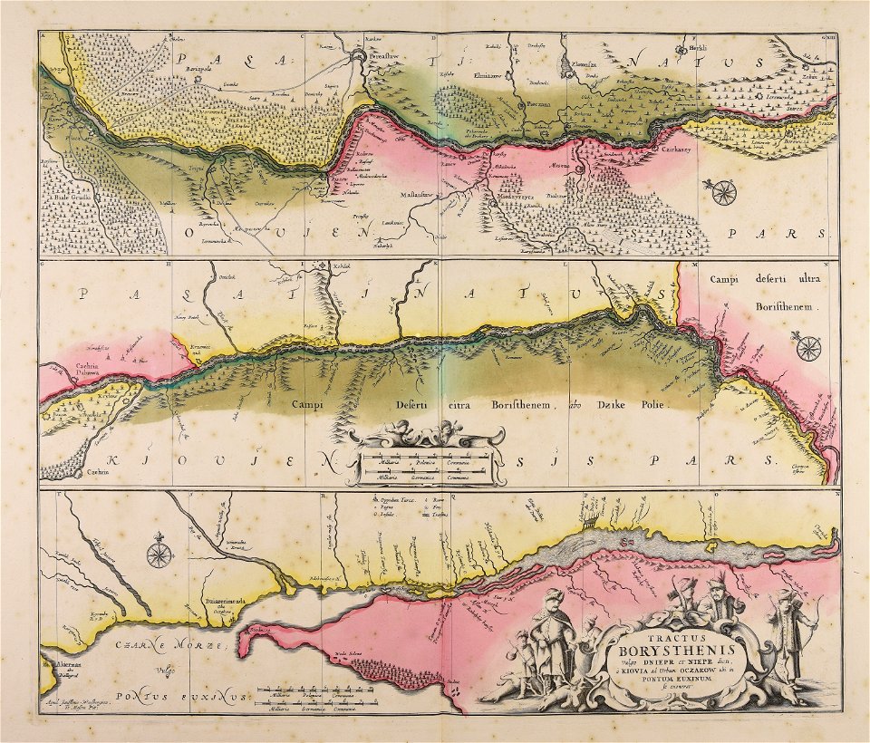
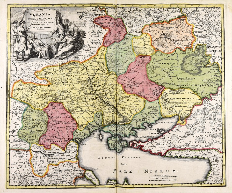
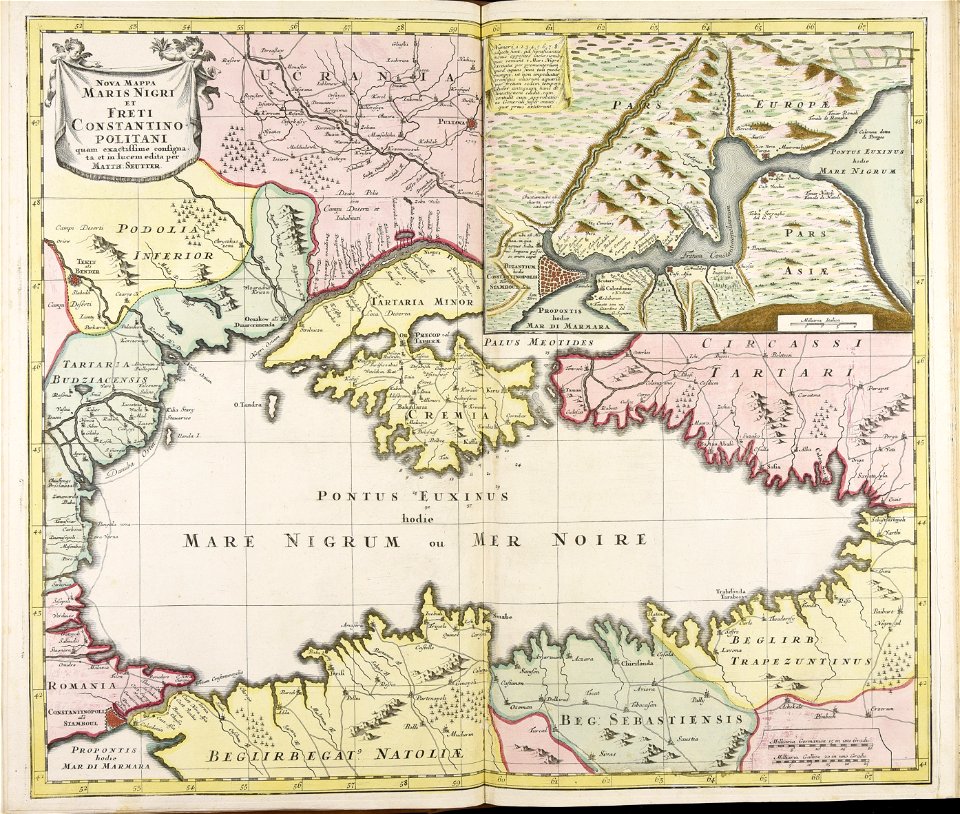
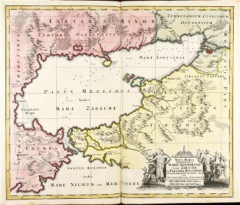
dnieper river
maps made in the 17th century
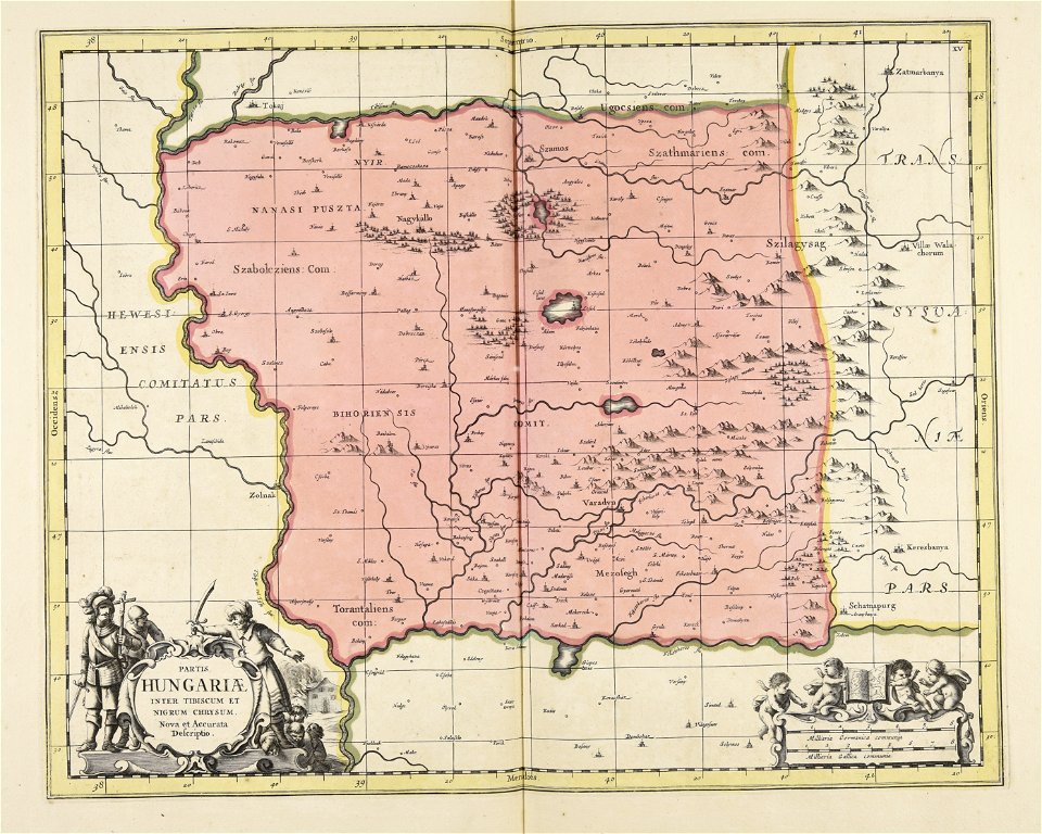
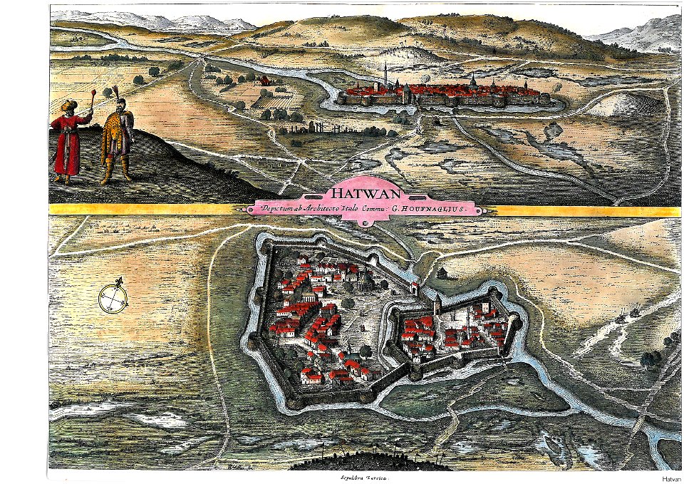
ungheria
artworks with known accession number
artworks without wikidata item
itinerario (jan huygen van linschoten)
old maps of goa
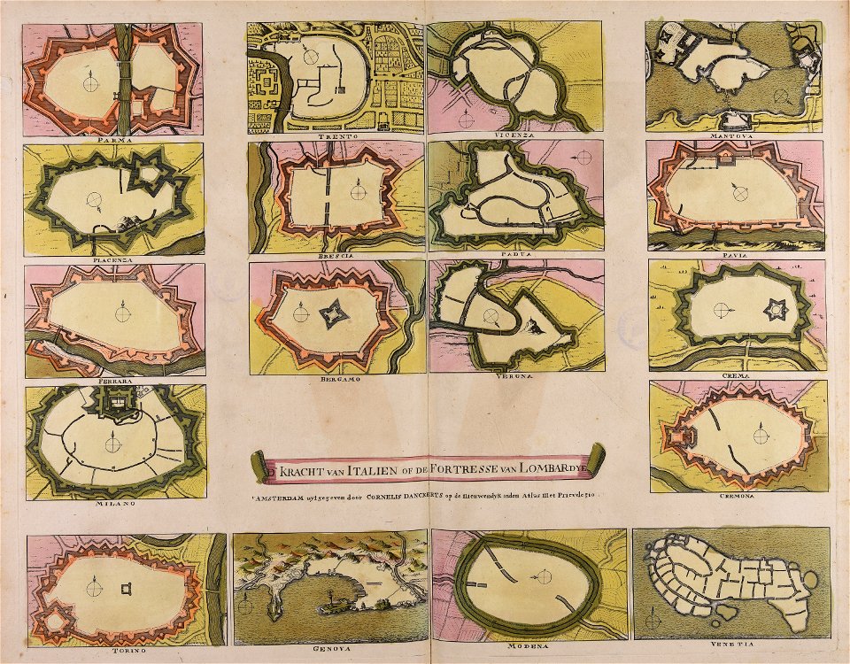
cornelis danckerts (i)
defensive walls
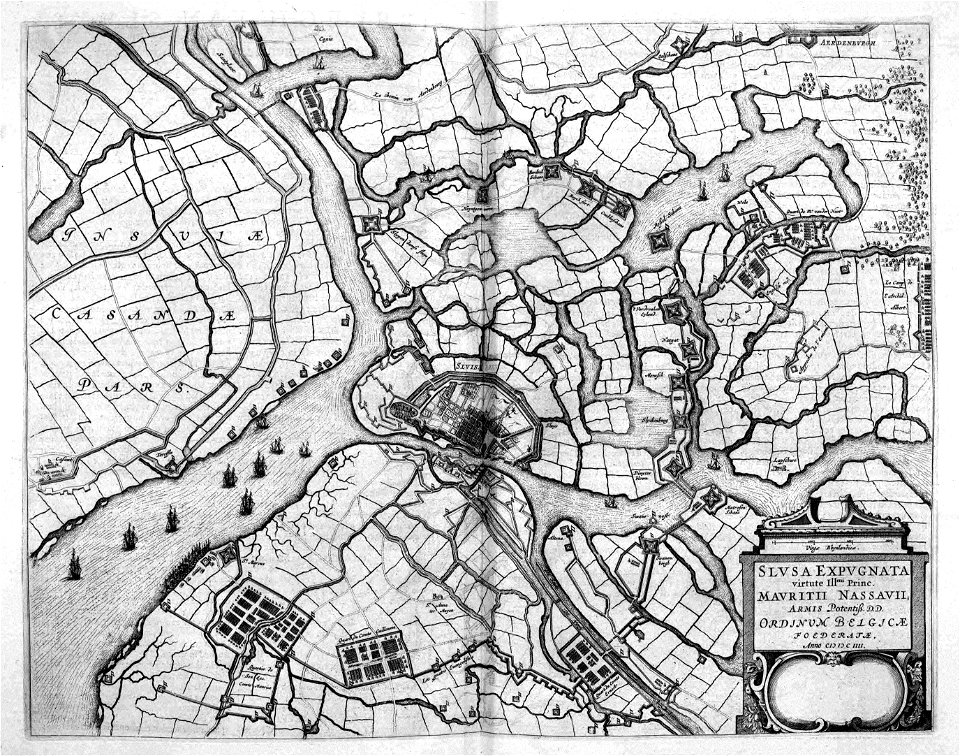
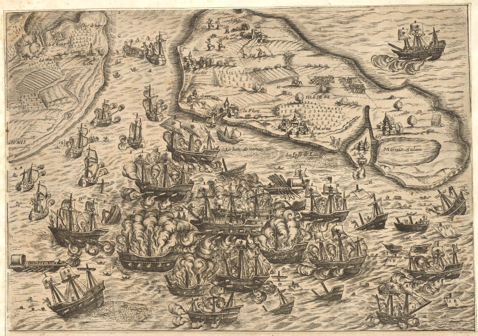
siege of sluis 1604
atlas beudeker
atlas de wit 1698
frederick de wit
engravings of palais royal by theodor hoffbauer
lithographs of paris
joyce gold
printing
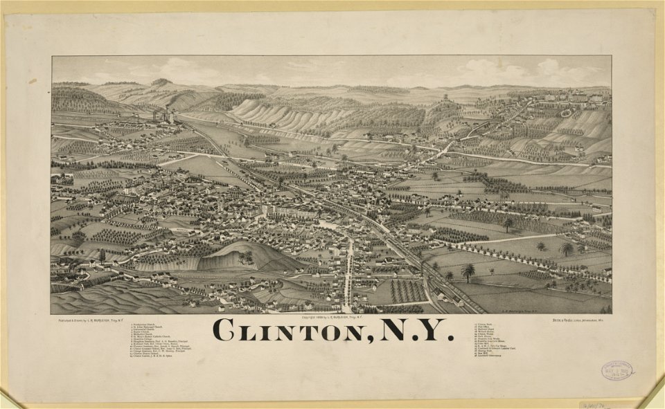
new york
clinton
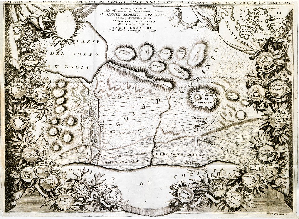
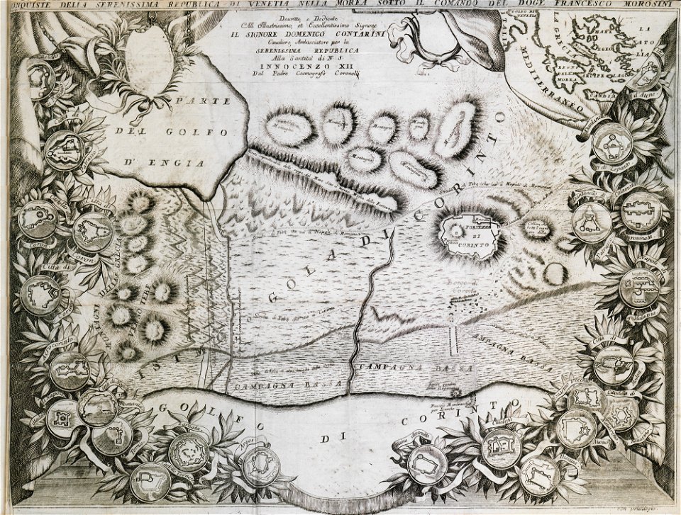
geographical illustrations by coronelli
old maps of the peloponnese
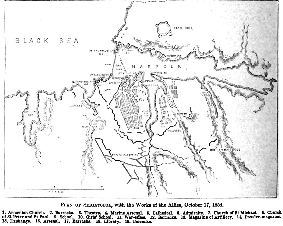
pictorial history of the russian war 1854-5-6 by george dodd
old maps of sevastopol
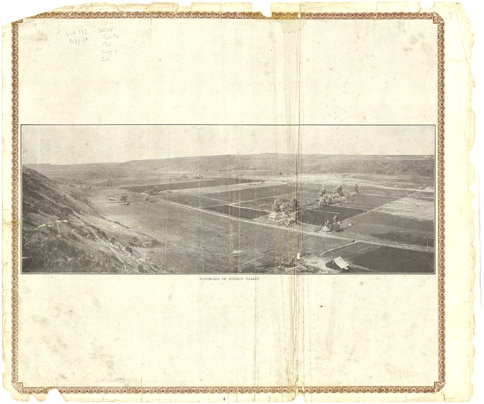
california
san diego
maps and topographical views by joris hoefnagel
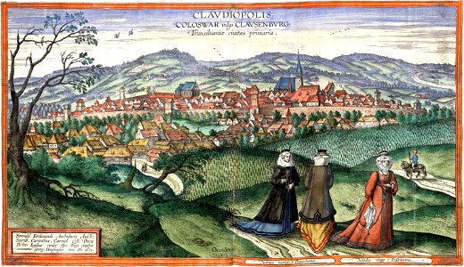
hungary in the 16th century
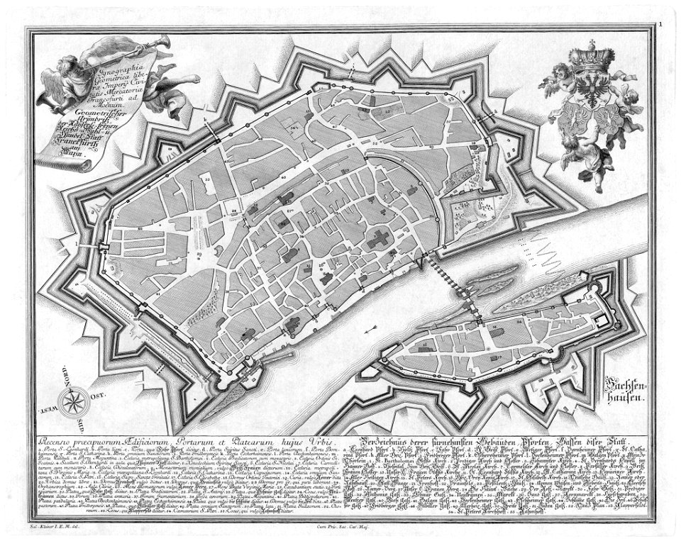
maps of frankfurt am main showing 18th-century history
das florirende franckfurth am mayn
lawrence h. slaughter collection of english maps, charts, globes, books and atlases
nypl lionel pincus and princess firyal map division
maps with cartouches
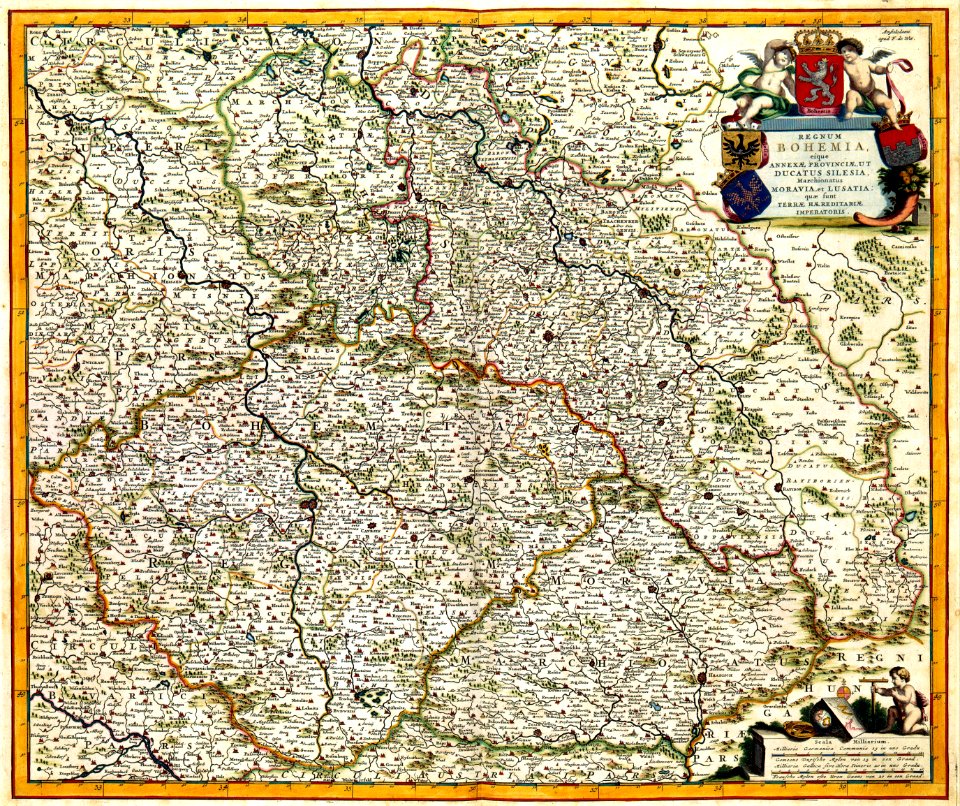
old maps of bohemia
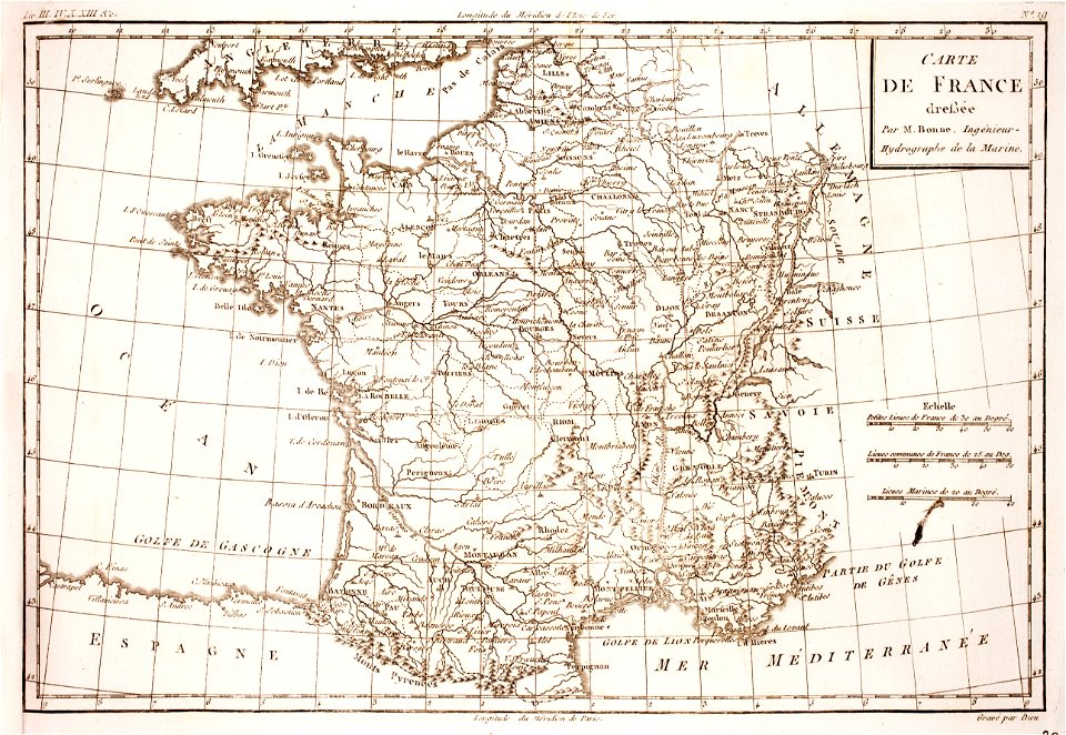
prints from bonne atlas de toutes les parties at the peace palace library
dien (printer)
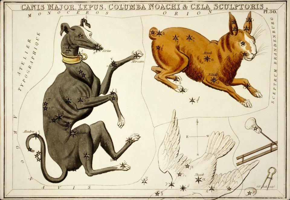
bird
maps
accessory
boxing
prints by wenzel hollar
great fire of london
maps and topographical views by joris hoefnagel
17th-century engravings of towns
teatro tacón
havana
cornell university library
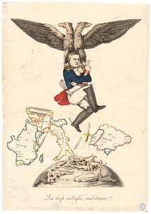
caricature
palais du louvre in the 1610s
palais du louvre on old maps
atlantis magni tomus quartus (biblioteca comunale di trento)
maps made in the 17th century
maps by pieter schenk (i)
gerard valck
lady hamilton
emma
maps made in the 17th century
nicolaes visscher ii
rosenborg castle
kongens have
historical images of île de ré
siege of la rochelle
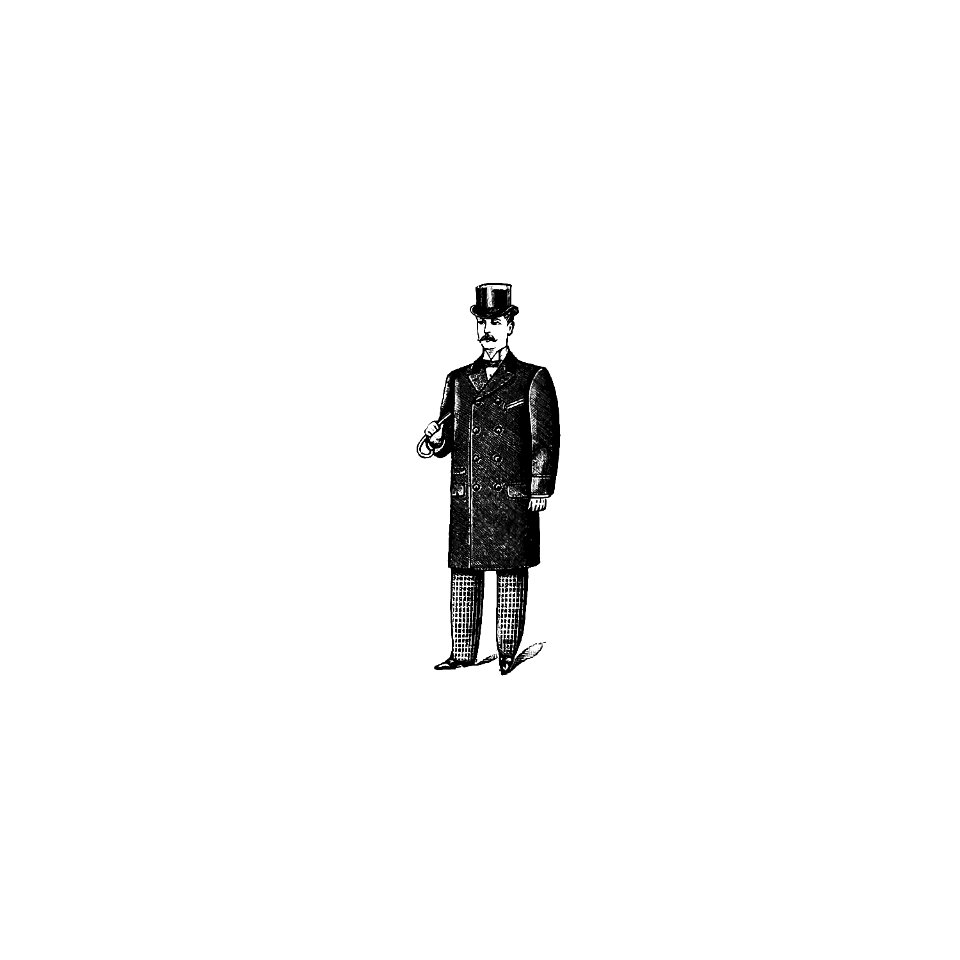
fashion
london
norway, sweden, and denmark- with excursions to iceland and spitzbergen; handbook for travellers (1909)
maps of skansen
drawings of sailing ships
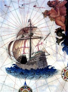
carracks in art
charts and maps of the royal museums greenwich
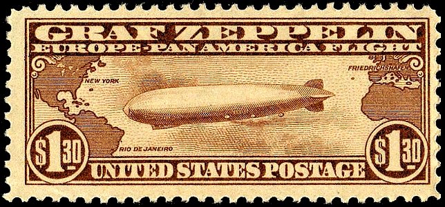
airmail stamps of the united states
brown stamps
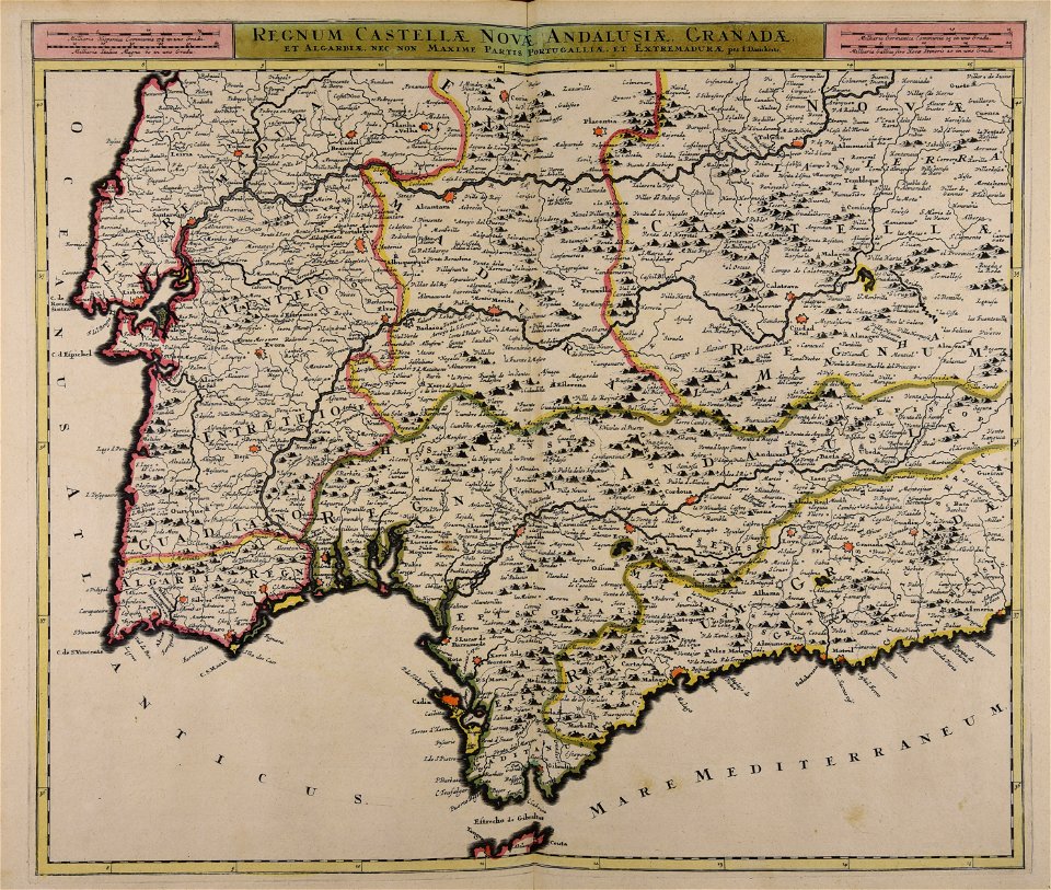
maps made in the 17th century
olof örnehufvud
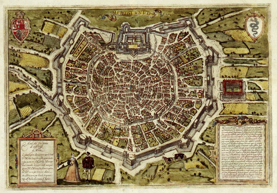
braun & hogenberg
milan
johann baptist homann
ungheria
harvard university
mount ararat
maps made in the 18th century
johann baptist homann
maps made in the 17th century
jan janssonius
maps with cartouches
atlas van der hagen
landscape art
stuart period
historical images of landstraße
palais rasumofsky
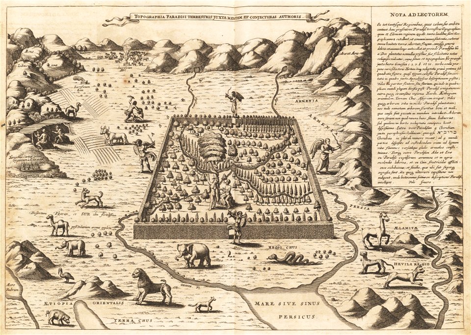
heaven
happy
historical images of baden
switzerland
engravings by matthäus merian
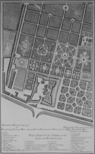
maps of baroque gardens
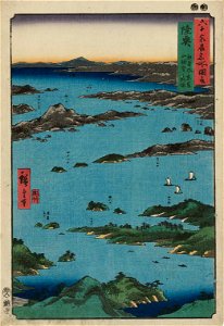
matsushima (matsushima bay)
boston
geographical illustrations by coronelli
old maps of the peloponnese
johann baptist homann
earth
atlantis magni tomus quartus (biblioteca comunale di trento)
maps made in the 17th century
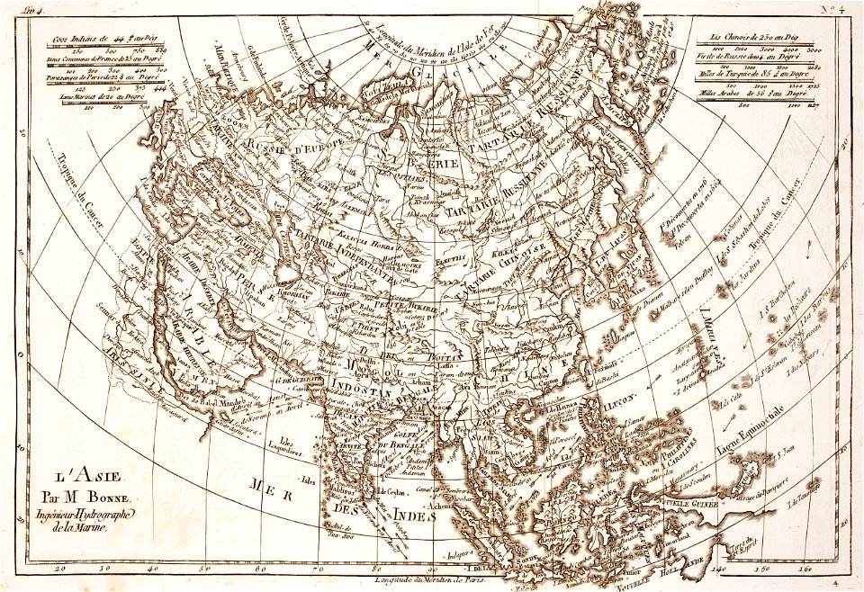
prints from bonne atlas de toutes les parties at the peace palace library
dien (printer)
zürich hauptbahnhof
1847
17th-century maps of korea
1680s maps of china
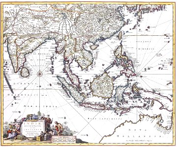
history of indonesia
mataram sultanate
18th-century maps of asia
bonne projection
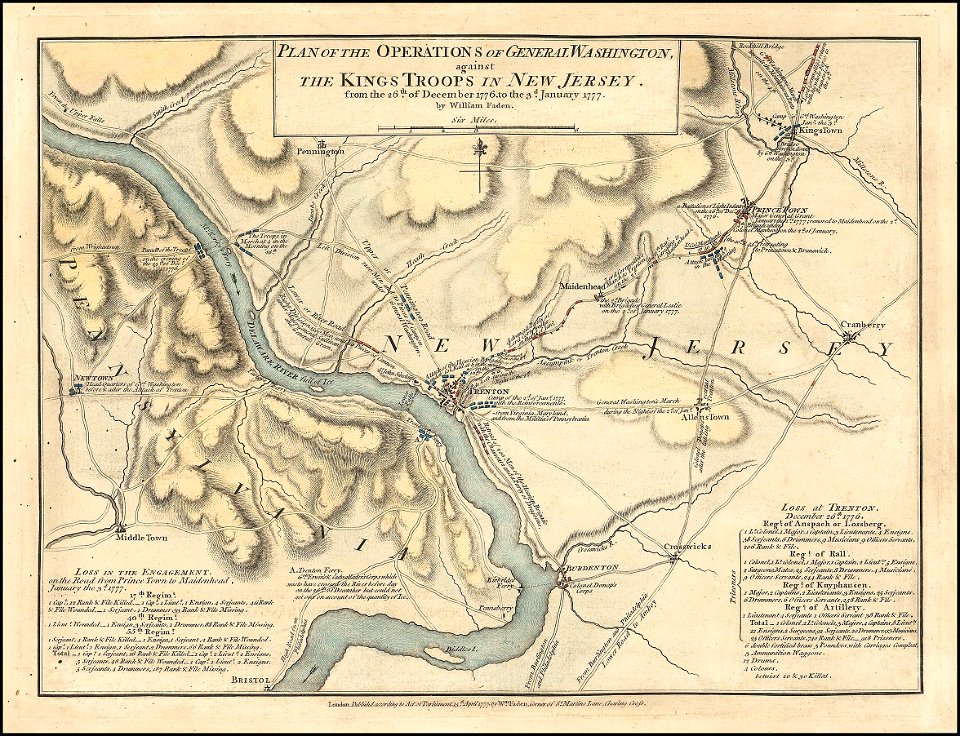
1776
1777
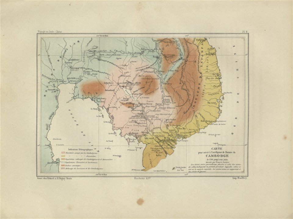
old maps of cambodia
francis garnier
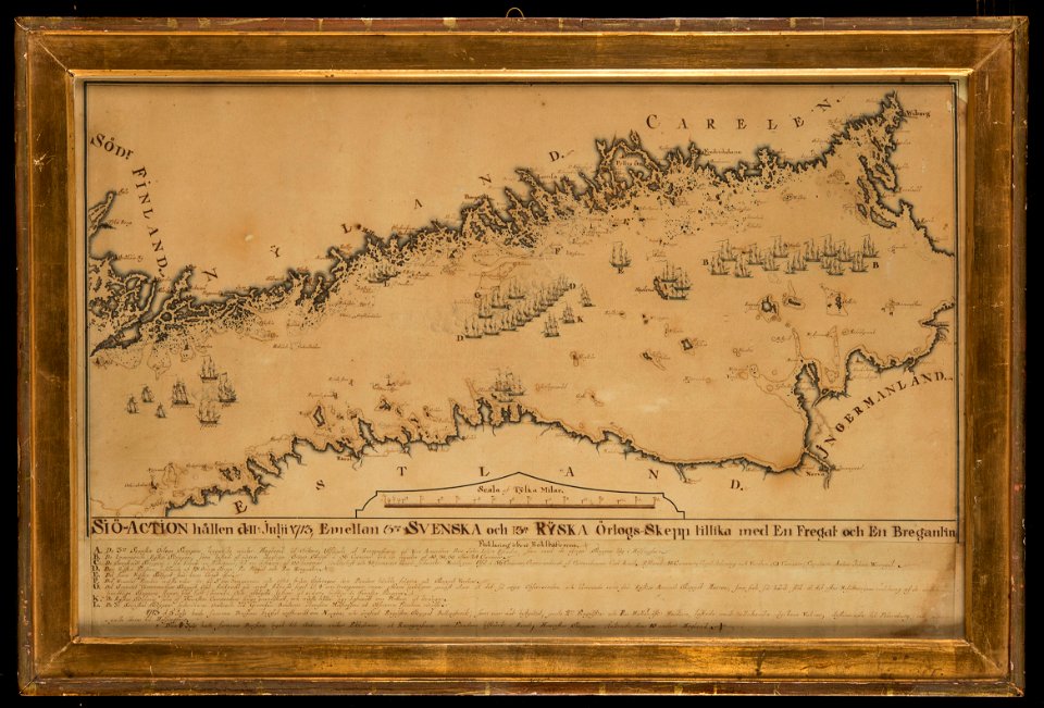
naval battles involving sweden
russo-swedish war (1788–1790)
charte der gebirge des mondes nach eigenen beobachtungen in den jahren 1840-1874
maps in the library of congress
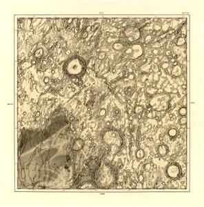
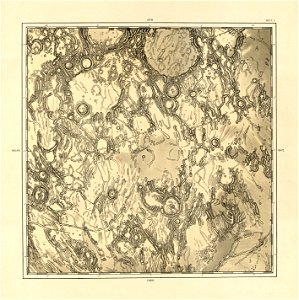
charte der gebirge des mondes nach eigenen beobachtungen in den jahren 1840-1874
maps in the library of congress
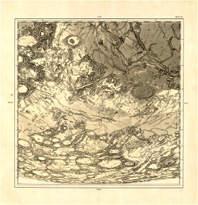
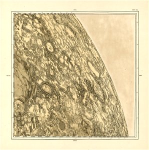
charte der gebirge des mondes nach eigenen beobachtungen in den jahren 1840-1874
maps in the library of congress
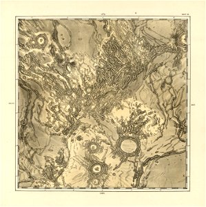
charte der gebirge des mondes nach eigenen beobachtungen in den jahren 1840-1874
maps in the library of congress
charte der gebirge des mondes nach eigenen beobachtungen in den jahren 1840-1874
maps in the library of congress
charte der gebirge des mondes nach eigenen beobachtungen in den jahren 1840-1874
maps in the library of congress
charte der gebirge des mondes nach eigenen beobachtungen in den jahren 1840-1874
maps in the library of congress
charte der gebirge des mondes nach eigenen beobachtungen in den jahren 1840-1874
maps in the library of congress
charte der gebirge des mondes nach eigenen beobachtungen in den jahren 1840-1874
maps in the library of congress
charte der gebirge des mondes nach eigenen beobachtungen in den jahren 1840-1874
maps in the library of congress
charte der gebirge des mondes nach eigenen beobachtungen in den jahren 1840-1874
maps in the library of congress
charte der gebirge des mondes nach eigenen beobachtungen in den jahren 1840-1874
maps in the library of congress
charte der gebirge des mondes nach eigenen beobachtungen in den jahren 1840-1874
maps in the library of congress
charte der gebirge des mondes nach eigenen beobachtungen in den jahren 1840-1874
maps in the library of congress
atlantis magni tomus quintus (biblioteca comunale di trento)
maps made in the 18th century
atlantis magni tomus quintus (biblioteca comunale di trento)
maps made in the 18th century
lithographs of paris
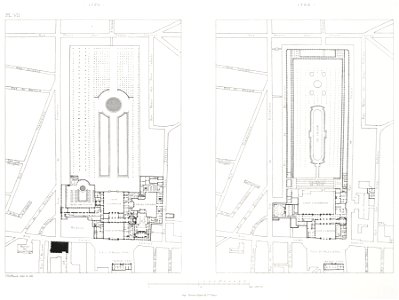
floor plans of paris
artworks with known accession number
artworks without wikidata item
flemish 16th-century prints in the rijksmuseum amsterdam
1599
charts and maps of the royal museums greenwich
maps made in the 18th century
works by guillaume delisle
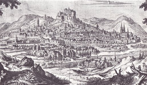
historical images of marburg
marburger schloss
atlantis magni tomus secundus (biblioteca comunale di trento)
maps made in the 17th century
charte der gebirge des mondes nach eigenen beobachtungen in den jahren 1840-1874
maps in the library of congress
charte der gebirge des mondes nach eigenen beobachtungen in den jahren 1840-1874
maps in the library of congress
charte der gebirge des mondes nach eigenen beobachtungen in den jahren 1840-1874
maps in the library of congress
charte der gebirge des mondes nach eigenen beobachtungen in den jahren 1840-1874
maps in the library of congress
charte der gebirge des mondes nach eigenen beobachtungen in den jahren 1840-1874
maps in the library of congress
charte der gebirge des mondes nach eigenen beobachtungen in den jahren 1840-1874
maps in the library of congress
charte der gebirge des mondes nach eigenen beobachtungen in den jahren 1840-1874
maps in the library of congress
charte der gebirge des mondes nach eigenen beobachtungen in den jahren 1840-1874
maps in the library of congress
10601 - 10700 of 38,713
Next page
/ 388