Log in
All resources
Create a design
8,995 Free Images of Scale
bibliothèque nationale de france
statues of abraham lincoln (1915)
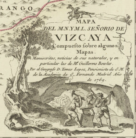
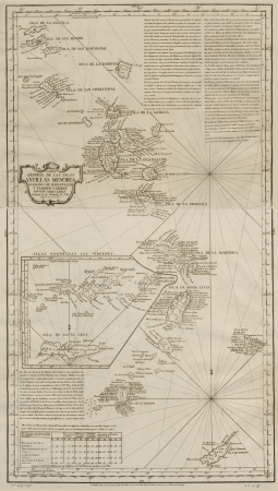
maps of spain by tomas lopez
theatre de la guerre en italie ou carte nouvelle des principauté de piémont, republique de genes, duchés de milan, plaisance et confins, assujettie aux observations astronomiques de latitude et de... - btv1b5971924d
emancipation memorial (boston)
historical
maps from gallica
maps from university of amsterdam special collections
copperplate print
special collections of the university of amsterdam
historical
history
maps of barbary coast by mercator-hondius
bibliothèque nationale de france
regnorum hispaniae nova descriptio (blaeu)
bibliothèque nationale de france
maps from gallica
guides joanne
territorium argentoratense (1652 map)
context files from gallica
nature
grass
historical
history
historical
history
lithographs in the rijksmuseum amsterdam
bequest of simon emmering
theatre de la guerre en italie ou carte nouvelle des principauté de piémont, republique de genes, duchés de milan, plaisance et confins, assujettie aux observations astronomiques de latitude et de... - btv1b5971924d
bibliothèque nationale de france
theatre de la guerre en italie ou carte nouvelle des principauté de piémont, republique de genes, duchés de milan, plaisance et confins, assujettie aux observations astronomiques de latitude et de... - btv1b5971924d
bibliothèque nationale de france
vigo in the 18th century
1702 maps of spain
1760s maps of the iberian peninsula
1762 maps of spain
maps in the library of congress
1875 maps of california
maps by thomas kitchin
1781 maps of europe
old maps of auvergne
1660s maps of france
17th-century maps of southern africa
maps by willem and johannes blaeu
magni ducatus lithuaniae
maps facing west
maps of venice by braun & hogenberg
giacomo franco
business
book
theatre de la guerre en italie ou carte nouvelle des principauté de piémont, republique de genes, duchés de milan, plaisance et confins, assujettie aux observations astronomiques de latitude et de... - btv1b5971924d
bibliothèque nationale de france
theatre de la guerre en italie ou carte nouvelle des principauté de piémont, republique de genes, duchés de milan, plaisance et confins, assujettie aux observations astronomiques de latitude et de... - btv1b5971924d
bibliothèque nationale de france
theatre de la guerre en italie ou carte nouvelle des principauté de piémont, republique de genes, duchés de milan, plaisance et confins, assujettie aux observations astronomiques de latitude et de... - btv1b5971924d
bibliothèque nationale de france
theatre de la guerre en italie ou carte nouvelle des principauté de piémont, republique de genes, duchés de milan, plaisance et confins, assujettie aux observations astronomiques de latitude et de... - btv1b5971924d
bibliothèque nationale de france
maps from university of amsterdam special collections
atlas der neederlanden
maps from university of amsterdam special collections
atlas der neederlanden
bibliothèque nationale de france
guillaume sanson
arnold van langren map of east africa
1600 maps of africa
maps of barbary coast by mercator-hondius
bibliothèque nationale de france
maps of limburg by aegidius martini
bibliothèque nationale de france
maps of provence by pierre-jean de bompar
bibliothèque nationale de france
magni ducatus lithuaniae
1710s maps of lithuania
maps of île-de-france by françois de la guillotière
bibliothèque nationale de france
maps of the kingdom of córdoba (crown of castile)
maps of spain by tomas lopez
historical
history
statues of abraham lincoln (1915)
boston herald
statues of abraham lincoln (1915)
the washington star, 1935
maps from university of amsterdam special collections
atlas der neederlanden
sidewalk
train
antoine-françois tardieu
maps from gallica
statues of abraham lincoln (1915)
theatre de la guerre en italie ou carte nouvelle des principauté de piémont, republique de genes, duchés de milan, plaisance et confins, assujettie aux observations astronomiques de latitude et de... - btv1b5971924d
bibliothèque nationale de france
theatre de la guerre en italie ou carte nouvelle des principauté de piémont, republique de genes, duchés de milan, plaisance et confins, assujettie aux observations astronomiques de latitude et de... - btv1b5971924d
bibliothèque nationale de france
theatre de la guerre en italie ou carte nouvelle des principauté de piémont, republique de genes, duchés de milan, plaisance et confins, assujettie aux observations astronomiques de latitude et de... - btv1b5971924d
bibliothèque nationale de france
maps in the library of congress
1758 maps of cuba
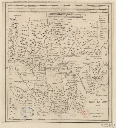
maps of the kingdom of jaén (crown of castile)
maps of spain by tomas lopez
landais & oberthur
maps from gallica
map of the upper rhenian circle by sanson
1690s maps of hesse
maps of raucourt
maps of sedan
statues of abraham lincoln (1915)
the boston globe
statues of abraham lincoln (1915)
the progressive christian
statues of abraham lincoln (1915)
the boston globe
gateway
apis
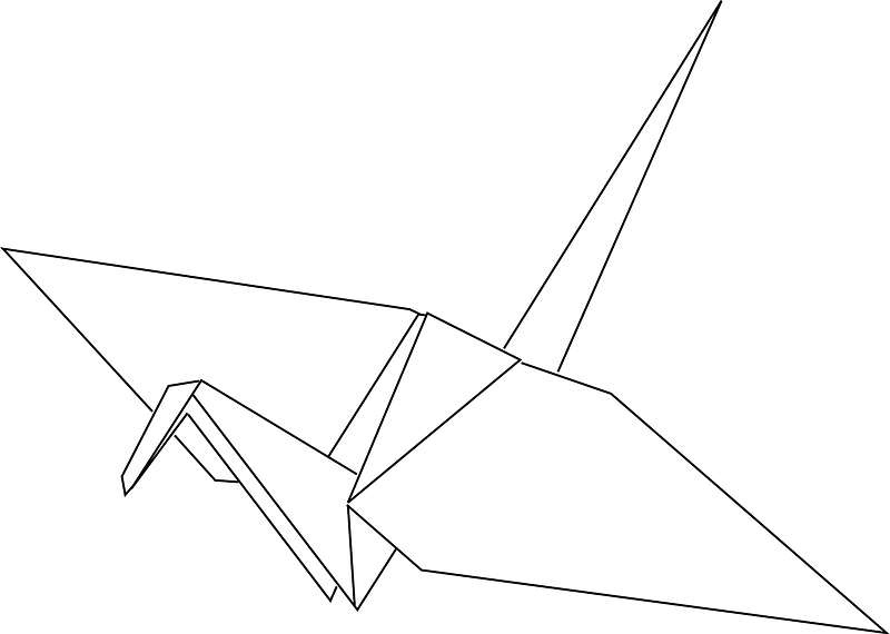
crane bird
storks
maps of south asia by mercator-hondius
statues of abraham lincoln (1915)
1965 newspapers
tree
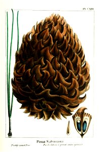
seed
facebook
draft
service
awful
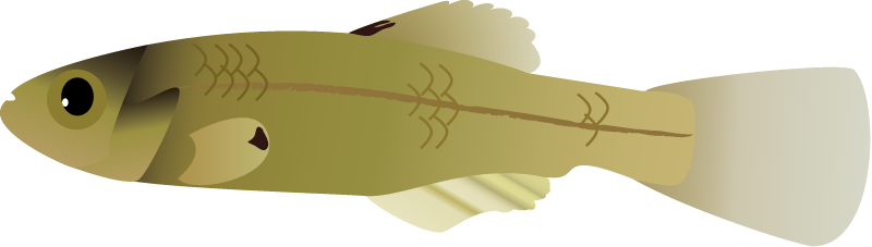
actinopterygii
atlantic
angiosperms
commelinids
j. konetzny, rauchwaren (folder 2)
romanticism
statues of abraham lincoln (1915)
the christian science monitor
statues of abraham lincoln (1915)
the boston globe
admiralty charts 2401-2600
achill head
atlas der neederlanden deel ii: holland 1. zuid-holland
maps from university of amsterdam special collections
maps of spain by tomas lopez
1765 maps of spain
maps of spain by tomas lopez
1765 maps of spain
maps of álava-araba
1770 maps of spain
statues of abraham lincoln (1915)
considérations géographiques et physiques sur les nouvelles découvertes au nord de la grande mer
hokkaido in art
statues of abraham lincoln (1915)
the boston globe
old maps of piedmont
maps by gerard valck
maps of raja ampat regency
dutch-language maps
weight loss
woman
health
cakes
maps of spain by tomas lopez
old maps of navarre
maps of spain by tomas lopez
1766 maps of spain
maps in the library of congress
1780s maps of the caribbean
maps of spain by tomas lopez
old maps of navarre
maps of spain by tomas lopez
old maps of navarre
art in the science history institute
realism
maps from university of amsterdam special collections
atlas der neederlanden
carte de barbarie, nigritie, guinée par guillaume delisle (1707)
bibliothèque nationale de france
carte de la mer méditerranée en trois feuilles (dheulland et al.)
18th-century maps of the western mediterranean
bibliothèque nationale de france
cartouches by tomas lópez
bibliothèque nationale de france
cartouches by tomas lópez
17th-century maps of xaintonge
maps by jodocus hondius ii
maps from gallica
guides joanne
carte de moscovie by guillaume de l'isle (1706)
bibliothèque nationale de france
mapa del principado de cataluña (1776)
cartouches by tomas lópez
bibliothèque nationale de france
cartouches by tomas lópez
mapa del principado de cataluña (1776)
maps of spain by tomas lopez
platte grond van amsterdam in 1878 - door a. braakensiek - btv1b53146318x
george lodewijk funke
liguria, o stato della republica di genova - guiljelmus blaeu - btv1b53165414s
context files from gallica
bibliothèque nationale de france
cartouches by tomas lópez
carte de la mer méditerranée en trois feuilles (dheulland et al.)
18th-century maps of the eastern mediterranean
carte de l'isle de ceylan by guillaume delisle (1722)
bibliothèque nationale de france
carte des régences d'alger by hérisson
bibliothèque nationale de france
maps from gallica
guides joanne
7101 - 7200 of 8,995
Next page
/ 90


![Map of the Ring of Putten, Gilliam van der Gouwen, [1701]](https://cdn.creazilla.com/illustrations/10001413820/map-of-the-ring-of-putten-gilliam-van-der-gouwen-1701-md.jpg)


![Persian and Indian Ocean Coastline Map (1740), Jakob van der Schley, [1773]](https://cdn.creazilla.com/illustrations/10001597328/persian-and-indian-ocean-coastline-map-1740-jakob-van-der-schley-1773-md.jpg)


![Map of the Ring of Putten, Gilliam van der Gouwen, [1701]](https://cdn.creazilla.com/illustrations/10001174499/map-of-the-ring-of-putten-gilliam-van-der-gouwen-1701-md.jpg)


![Purmer: the Purmer was measured in 1622 by Mr. Lucas Iansz Zinck, surveyor, and was revised and brought to light in 1683 by Ioannes Leupenius, surveyor., Johannes Leupenius, [1683]](https://cdn.creazilla.com/illustrations/10001559429/purmer-the-purmer-was-measured-in-1622-by-mr-lucas-iansz-zinck-surveyor-and-was-revised-and-brought-to-light-in-1683-by-ioannes-leupenius-surveyor-johannes-leupenius-1683-sm.jpg)