Log in
All resources
Create a design
8,995 Free Images of Scale
bibliothèque nationale de france
john rocque
remigius parr
topographic map of france, 1864
lemercier & cie.
john rocque's 1748 map of london and adjacent country
vegetables
high tunnel
soil health
micro-irrigation
vegetables
farmer
high tunnel
vegetables
high tunnel
vegetables
high tunnel
vegetables
science
camping
high tunnel
vegetables
bibliothèque nationale de france
félix robaut
archevesché et eslectorat de cologne avec ses enclaves dans les pays circonvoisins. tiré des mémoires les plus nouveaux - par le sr sanson... - btv1b532023960
guillaume sanson
maps showing 19th-century history
isaiah thomas (publisher)
the bard by john martin
romanticism
maps by thomas kitchin
old maps of scotland
le lyon de nos pères (vingtrinier, drevet, 1901) from numelyo
le lyon de nos pères (vingtrinier, drevet, 1901)
works after joseph vernet
marie-rosalie bertaud
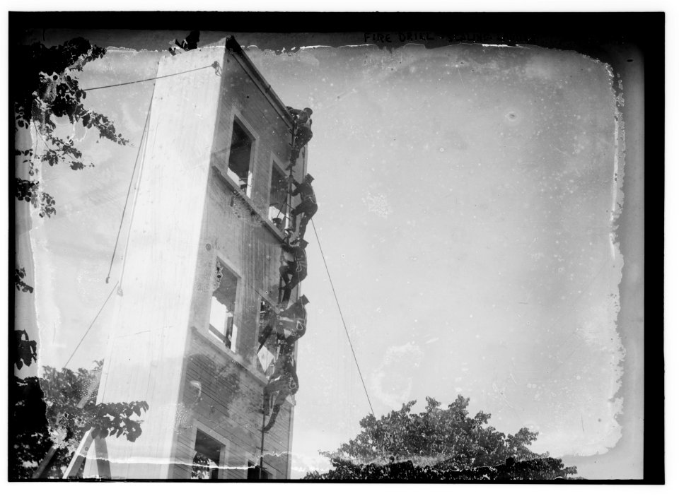
scaling ladders
scans
isaiah thomas (publisher)
1812 maps
north america
galliformes
maps in the library of congress
1883 maps of massachusetts
paintings in the museum für hamburgische geschichte
elias galli
partie orientale du temporel de l'archevesché et eslectorat de mayence - et le comté de reineck - par le sieur sanson... - btv1b53202373t
guillaume sanson
old maps of vermandois
maps of capelle (nord)
architecture
history
historical
history
vehicle
car
business
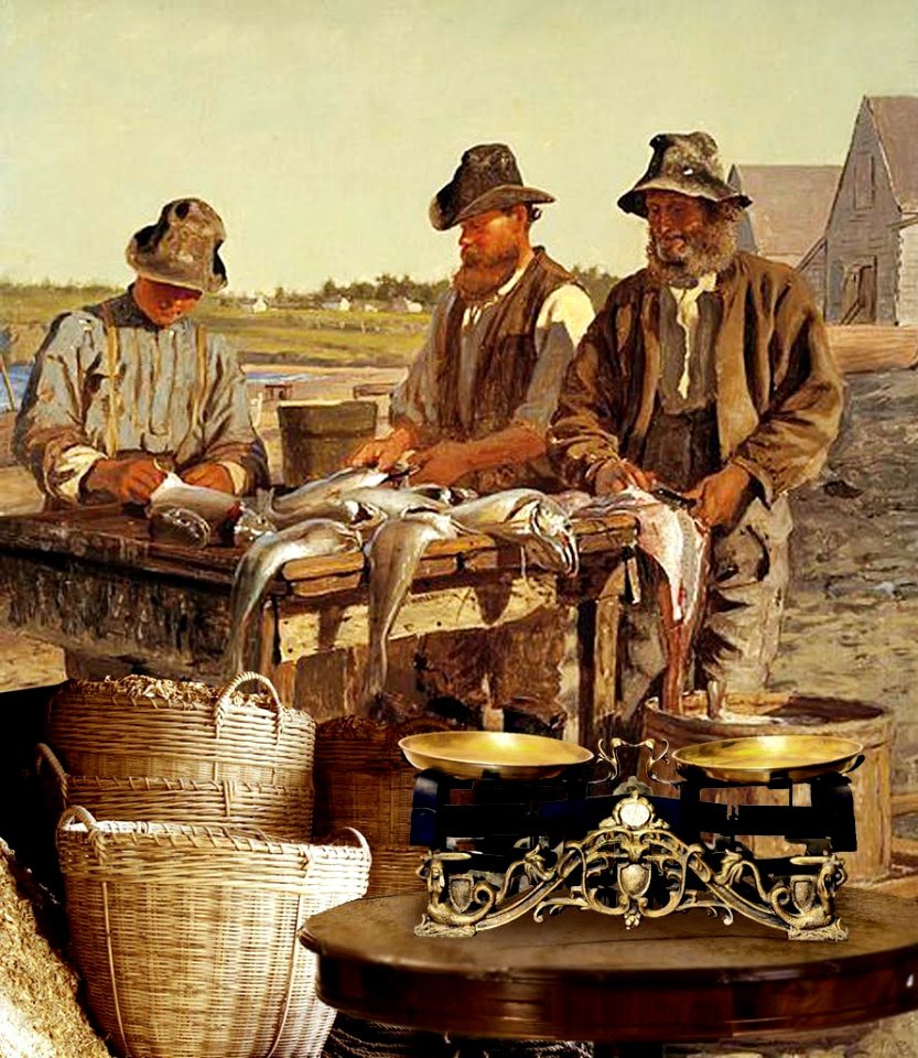
fish
high tunnel
vegetables
high tunnel
vegetables
high tunnel
vegetables
high tunnel
vegetables
vegetables
people
high tunnel
vegetables
high tunnel
vegetables
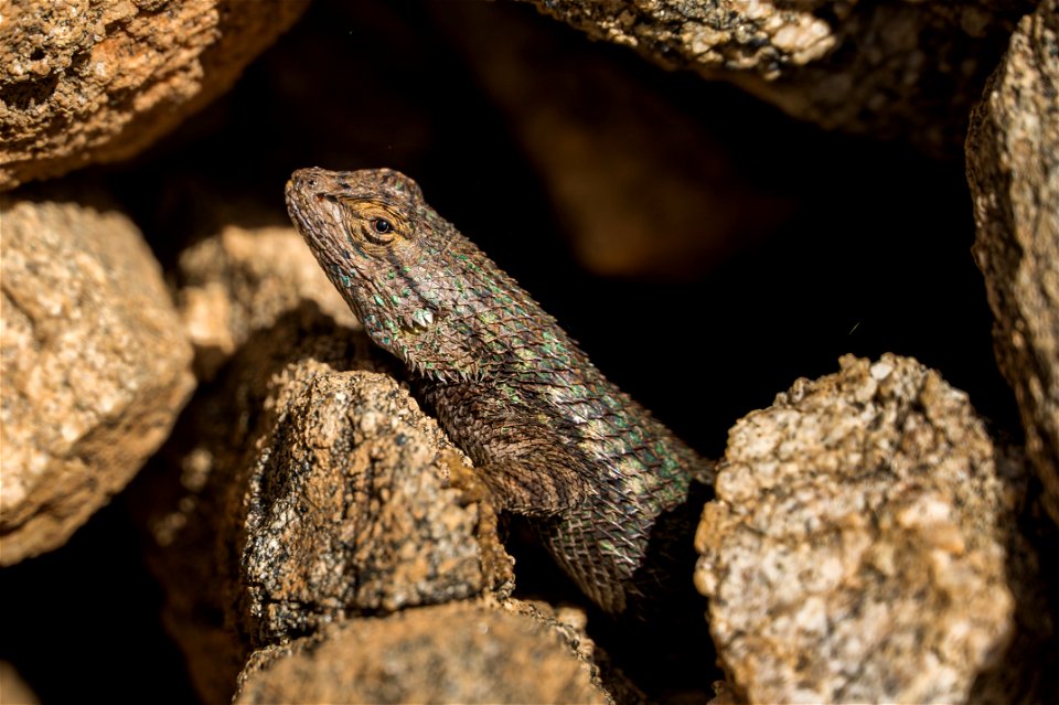
reptiles
lizard
vegetables
farmer
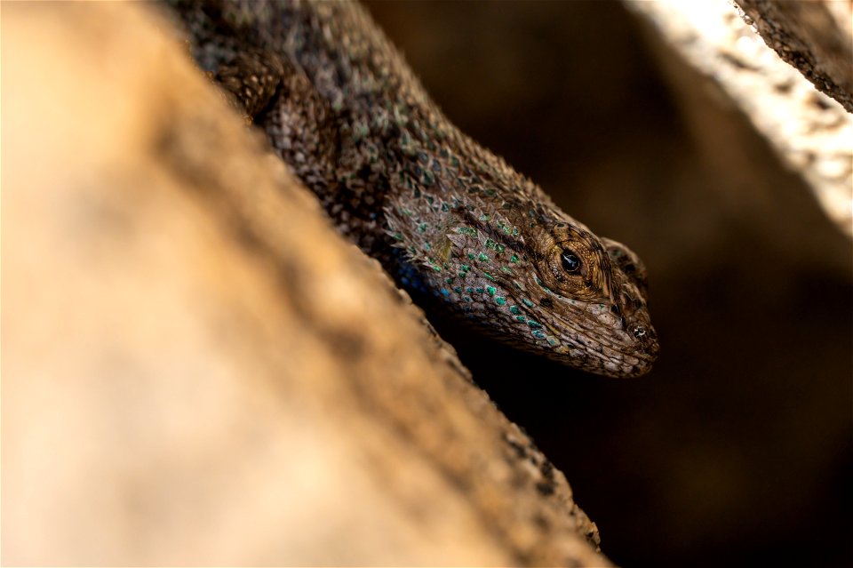
reptiles
lizard
18th-century maps of england and wales
chorographia britanniae (1741-1742)
scales of justice
justice
map collection of leibniz-institut für länderkunde
maps of spain by tomas lopez
coding da vinci nieder.rhein.land 2021
romanticism
scale
body
vehicle
toy
italia - di matteo greuter... - btv1b525056959
bibliothèque nationale de france
watercolor paintings by carl larsson
arts and crafts movement
19th-century maps of southeast asia
aristide-michel perrot
impact craters in arabia quadrangle
arago (martian crater)
facebook cover
draft
john rocque's 1748 map of london and adjacent country
remigius parr
bibliothèque nationale de france
maps by john rocque
john rocque's 1746 map of london
remigius parr
john rocque's 1748 map of london and adjacent country
remigius parr
le siège de la rochelle - stef. della bella delineavit et fecit - btv1b53156776b
baroque
john rocque's 1748 map of london and adjacent country
remigius parr
john rocque's 1748 map of london and adjacent country
remigius parr
john rocque's 1748 map of london and adjacent country
remigius parr
views of nonsuch palace by joris hoefnagel
bibliothèque nationale de france
le siège de la rochelle - stef. della bella delineavit et fecit - btv1b53156776b
baroque
john rocque's 1748 map of london and adjacent country
remigius parr
italia - di matteo greuter... - btv1b525056959
bibliothèque nationale de france
scaling ladders
scans
maps of limousin by jean fayen
1660s maps of france
bibliothèque nationale de france
maps by thomas kitchin
john rocque's 1748 map of london and adjacent country
remigius parr
john rocque's 1746 map of london
remigius parr
john rocque's 1748 map of london and adjacent country
remigius parr
john rocque's 1746 map of london
remigius parr
john rocque's 1748 map of london and adjacent country
remigius parr
healthcare
weight
may 2018 in vienna
baroque
topographic map of france, 1864
lemercier & cie.
topographic map of france, 1864
lemercier & cie.
topographic map of france, 1864
lemercier & cie.
topographic map of france, 1864
lemercier & cie.
topographic map of france, 1864
lemercier & cie.
topographic map of france, 1864
lemercier & cie.
topographic map of france, 1864
lemercier & cie.
topographic map of france, 1864
lemercier & cie.
topographic map of france, 1864
lemercier & cie.
topographic map of france, 1864
lemercier & cie.
sagamore hill national historic site
sculptures in new york (state)
retro
comic
scale models in the bayerisches nationalmuseum
balthasar-neumann-church münsterschwarzach
18th-century maps of england and wales
chorographia britanniae (1741-1742)
le siège de la rochelle - stef. della bella delineavit et fecit - btv1b53156776b
baroque
john rocque's 1748 map of london and adjacent country
remigius parr
john rocque's 1748 map of london and adjacent country
remigius parr
john rocque's 1748 map of london and adjacent country
remigius parr
john rocque's 1748 map of london and adjacent country
remigius parr
john rocque's 1748 map of london and adjacent country
remigius parr
john rocque's 1748 map of london and adjacent country
remigius parr
john rocque's 1748 map of london and adjacent country
remigius parr
studies (drawings) in the cooper–hewitt, smithsonian design museum
hudson river school
ordnance survey 1:25000 maps (full sheets)
maps of linlithgow
vehicle
toy
1892 marine paintings
eugène chigot
topographic map of france, 1864
lemercier & cie.
topographic map of france, 1864
lemercier & cie.
topographic map of france, 1864
lemercier & cie.
topographic map of france, 1864
lemercier & cie.
topographic map of france, 1864
lemercier & cie.
topographic map of france, 1864
lemercier & cie.
topographic map of france, 1864
lemercier & cie.
5501 - 5600 of 8,995
Next page
/ 90