Log in
All resources
Create a design
8,995 Free Images of Scale
bibliothèque nationale de france
high tunnel
soil health
community agriculture
small-scale agriculture
micro-irrigation
vegetables
plants
the earth and its inhabitants, vol. vi: asia, vol. i
guillaume sanson
maps of the islands of greece by marco boschini (1658)
context files from gallica
books by antonio palomino
baroque
books by antonio palomino
baroque
circle
scale
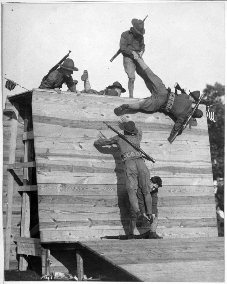
historical
history
printing
clock
vehicle
car
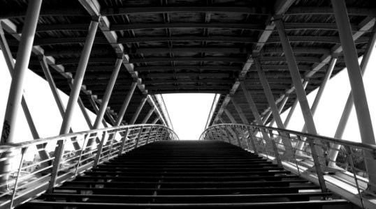
bridge
paris
vegetables
plants
vegetables
livestock
vegetables
plants
high tunnel
soil health
vegetables
livestock
vegetables
livestock
vegetables
plants
pennsylvania memorial, gettysburg
realism
vegetables
plants
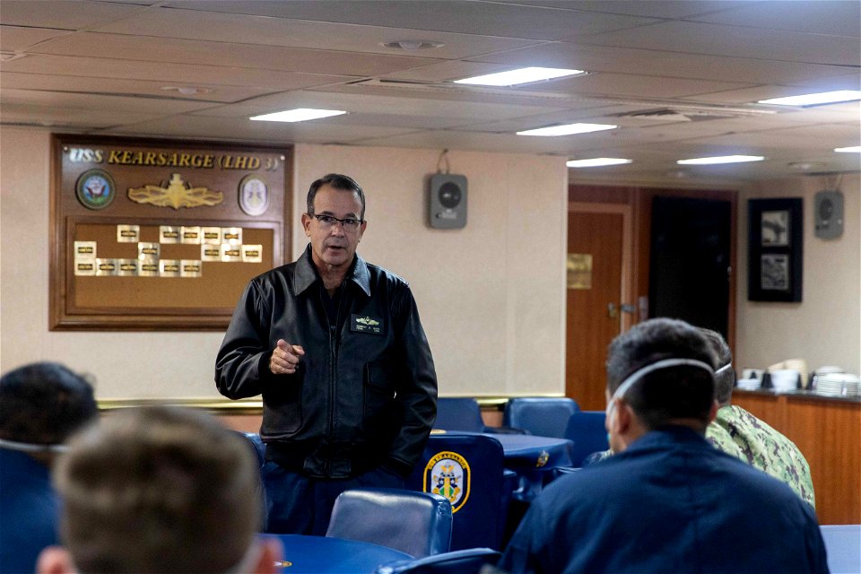
uss kearsarge (lhd 3)
atlantic ocean
uss kearsarge (lhd 3)
atlantic ocean
vegetables
plants
uss kearsarge (lhd 3)
atlantic ocean
uss kearsarge (lhd 3)
atlantic ocean
vegetables
plants
maps of chomutov by braun & hogenberg
maps of čáslav by braun & hogenberg
a new map of the island of tobago... - by tho.s kitchin... - btv1b53121990k
maps by thomas kitchin
maps of windsor by braun & hogenberg
maps of oxford by braun & hogenberg
paintings by quiringh gerritsz. van brekelenkam
paintings in the villa vauban
unbalanced scales of justice
self-published work
18th-century maps of england and wales
chorographia britanniae (1741-1742)
bibliothèque nationale de france
guillaume sanson
old maps of duchy of cleves
guillaume sanson
carte du mexique et de la floride by guillaume delisle (1703)
bibliothèque nationale de france
bibliothèque nationale de france
1698 map of evesché de meaux
la seigneurie de groningue subdivisée en toutes ses juridictions. dressée sur les memoires les plus nouveaux - par le sr. sanson - btv1b532126738
guillaume sanson
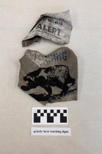
yellowstone national park
yellowstone
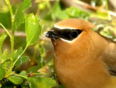
animals
nature
vegetables
plants
family
people
vegetables
plants
family
people
vegetables
plants
high tunnel
soil health
vegetables
plants
1884 engravings
boxes
1884 engravings
boxes
1884 engravings
boxes
maps of agnano and grotta del cane by braun & hogenberg
context files from gallica
bibliothèque nationale de france
guillaume sanson
maps of the islands of greece by marco boschini (1658)
old maps of the lesser cyclades
maps of the islands of greece by marco boschini (1658)
old maps of dipso, crusia, tragia, forni, mandria
maps of the course of the rhine by guillaume sanson
maps by nicolas sanson
bibliothèque nationale de france
guillaume sanson
map collection of leibniz-institut für länderkunde
maps of limburg by aegidius martini
map collection of leibniz-institut für länderkunde
maps of limburg by aegidius martini
scenic designs by philippe chaperon
les huguenots (1875)
wikipedia portal icons
svg
satō masamochi
hamada yahyōe
carte de la prevoste et vicomte de paris by guillaume delisle (1711)
atlas géographique des quatre parties du monde (delisle)
bibliothèque nationale de france
guillaume sanson
works after joseph vernet
seascapes
18th-century maps of the bosphorus
joseph roux
bb instruments
tenor tuba
maps from university of amsterdam special collections
atlas der neederlanden
1900s maps of arabia
william patten
astronomical clock in lunds domkyrka
theodor wåhlin
maps of prague by joris hoefnagel
bibliothèque nationale de france
maps of kraków by joris hoefnagel
bibliothèque nationale de france
the earth and its inhabitants, vol. vi: asia, vol. i
nikolai przevalski
map of the circle of austria by sanson
1700s maps of austria
charts and maps of the royal museums greenwich
1590 maps
bilder aus dem alten frankfurt.
große fischergasse
cartouche (cartography)
maps by john rocque
maps of paris from the university of wisconsin-milwaukee libraries
18th-century maps of paris
historical images of avenches
joseph plepp
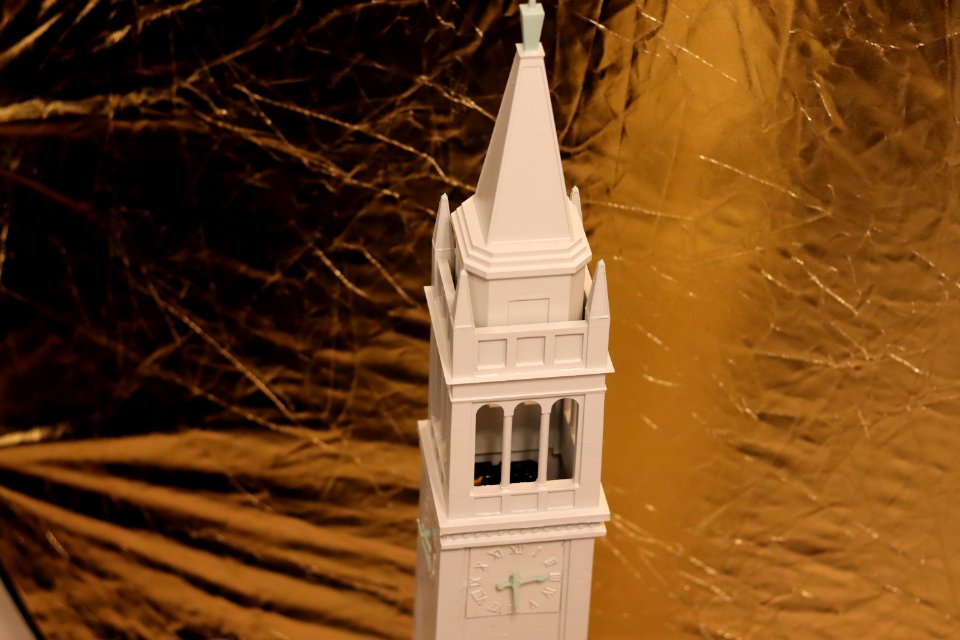
scale model
burlingame
old maps of the kingdom of france (987-1792)
19th-century maps of the british isles
the earth and its inhabitants, vol. vi: asia, vol. i
lines
gigapixel examples
checkflicr2
maps from the earth and its inhabitants, vol. vi
maps of journeys
maps of hunsrück
jean hardy
the earth and its inhabitants, vol. vi: asia, vol. i
aleksey kuropatkin
the earth and its inhabitants, vol. vi: asia, vol. i
tian shan
maps of campi flegrei by braun & hogenberg
context files from gallica
historical
history
animals
scale
john penn (ship, 1864)
expressionism
reptiles
lizard
the bottom of the sea (1870)
equator
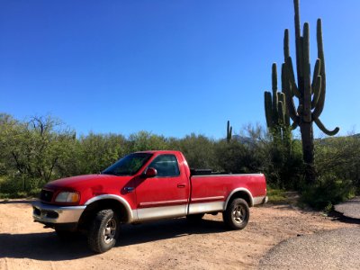
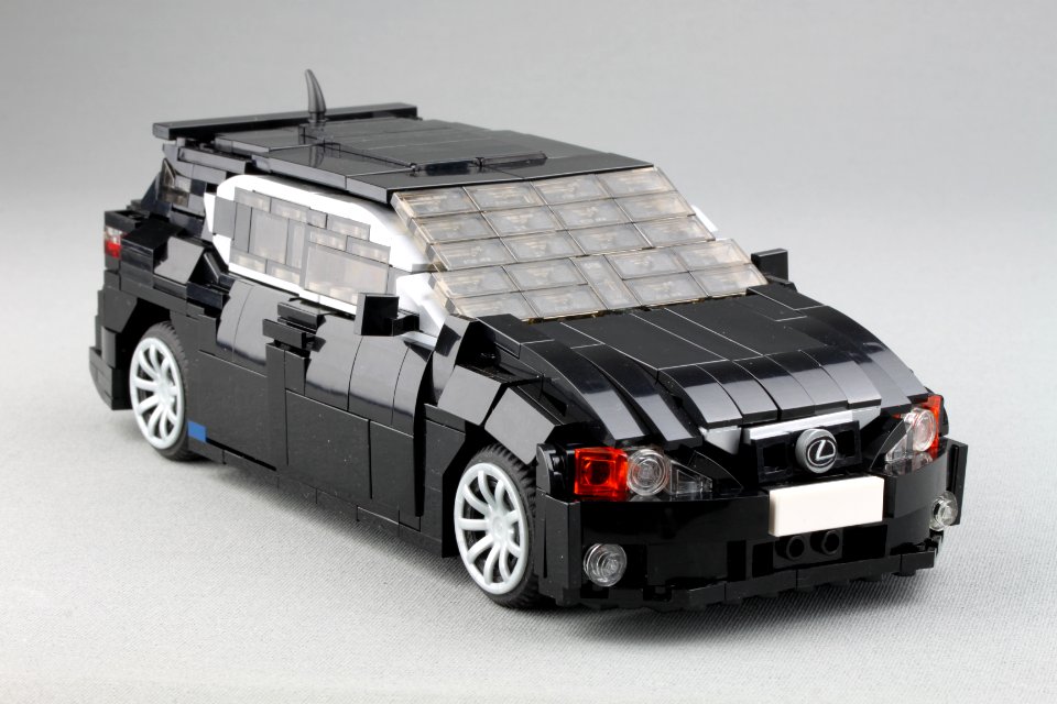
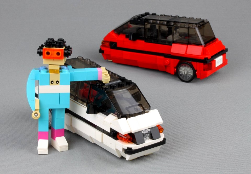
vehicle
car
vehicle
car
high tunnel
vegetables
high tunnel
vegetables
high tunnel
vegetables
high tunnel
vegetables
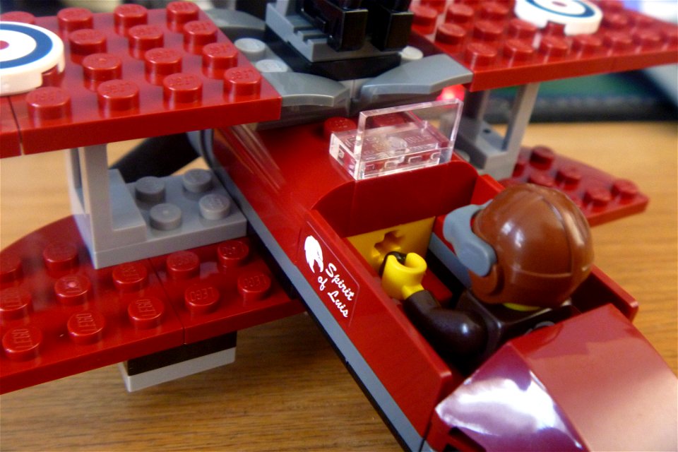
biplane
lego
high tunnel
vegetables
high tunnel
vegetables
5401 - 5500 of 8,995
Next page
/ 90


![Isolette [Raclia, Schinussa, etc] / Marco Boschini, 1658](https://cdn.creazilla.com/illustrations/10001438226/isolette-raclia-schinussa-etc-marco-boschini-1658-sm.webp)


![Czaslavium vulgo Czasla Bohemiae civitas; Commoda vulgo Comethau Bohemiae civitas / Communicavit G. Houfnaglius depictum a filio A[nn]o 1617, 1635](https://cdn.creazilla.com/illustrations/10000484269/czaslavium-vulgo-czasla-bohemiae-civitas-commoda-vulgo-comethau-bohemiae-civitas-communicavit-g-houfnaglius-depictum-a-filio-anno-1617-1635-sm.webp)


![Isolette [Raclia, Schinussa, etc] / Marco Boschini, 1658](https://cdn.creazilla.com/illustrations/10000518565/isolette-raclia-schinussa-etc-marco-boschini-1658-sm.webp)