Log in
All resources
Create a design
8,995 Free Images of Scale
insects
sri lanka
scale insects
smithsonian libraries
bibliothèque nationale de france
l'asie, en plusieurs cartes nouvelles, et exactes, &c. en divers traitez de geographie, et d'histoire. là où sont descrits succinctement, & avec une belle methode, & facile. ses empires, ses... - btv1b55013761m
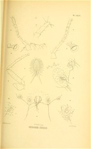
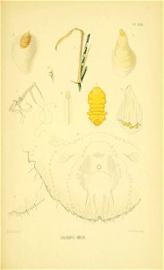
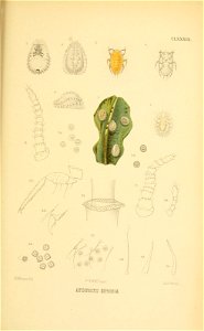
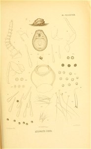
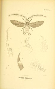
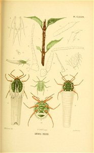
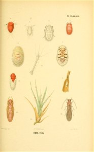
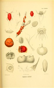
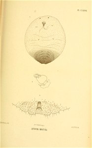
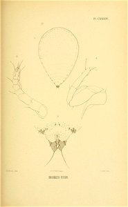
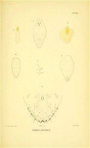
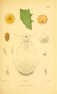
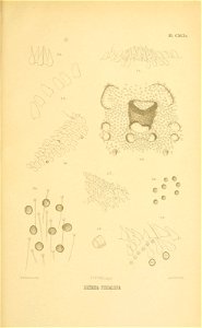
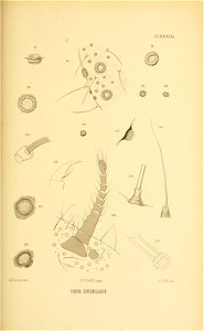
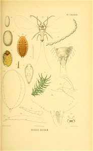
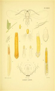
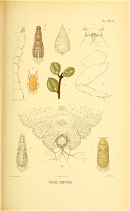
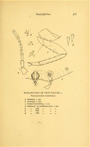
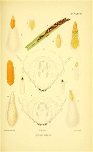
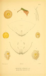
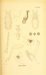
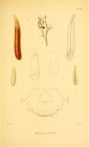
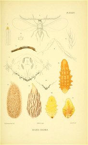
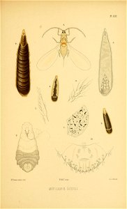
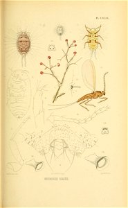
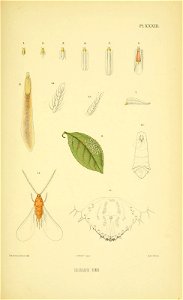
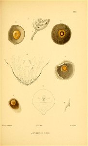
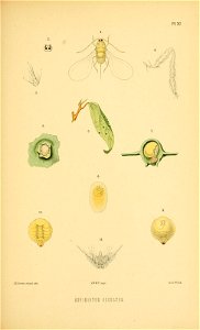
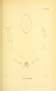
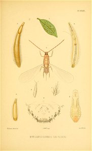
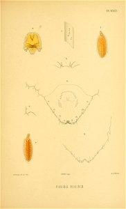
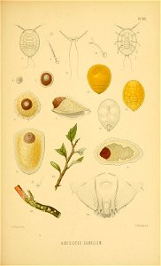
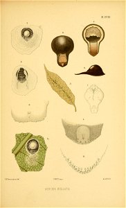
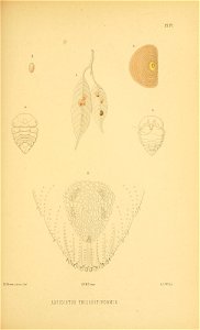
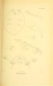
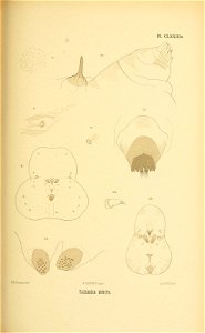
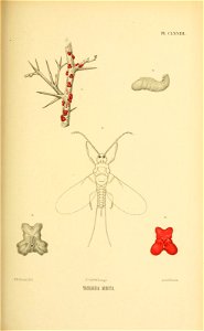
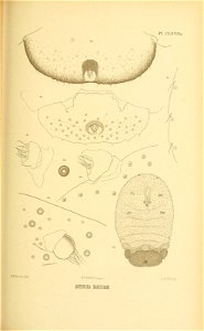
the coccidae of ceylon pt.5 (1922)
maps by nicolas sanson
the coccidae of ceylon pt.1 (1896)
the coccidae of ceylon pt.2 (1899)
l'asie, en plusieurs cartes nouvelles, et exactes, &c. en divers traitez de geographie, et d'histoire. là où sont descrits succinctement, & avec une belle methode, & facile. ses empires, ses... - btv1b55013761m
maps by nicolas sanson
l'asie, en plusieurs cartes nouvelles, et exactes, &c. en divers traitez de geographie, et d'histoire. là où sont descrits succinctement, & avec une belle methode, & facile. ses empires, ses... - btv1b55013761m
bibliothèque nationale de france
l'asie, en plusieurs cartes nouvelles, et exactes, &c. en divers traitez de geographie, et d'histoire. là où sont descrits succinctement, & avec une belle methode, & facile. ses empires, ses... - btv1b55013761m
bibliothèque nationale de france
l'asie, en plusieurs cartes nouvelles, et exactes, &c. en divers traitez de geographie, et d'histoire. là où sont descrits succinctement, & avec une belle methode, & facile. ses empires, ses... - btv1b55013761m
bibliothèque nationale de france
l'asie, en plusieurs cartes nouvelles, et exactes, &c. en divers traitez de geographie, et d'histoire. là où sont descrits succinctement, & avec une belle methode, & facile. ses empires, ses... - btv1b55013761m
maps by nicolas sanson
l'asie, en plusieurs cartes nouvelles, et exactes, &c. en divers traitez de geographie, et d'histoire. là où sont descrits succinctement, & avec une belle methode, & facile. ses empires, ses... - btv1b55013761m
bibliothèque nationale de france
l'asie, en plusieurs cartes nouvelles, et exactes, &c. en divers traitez de geographie, et d'histoire. là où sont descrits succinctement, & avec une belle methode, & facile. ses empires, ses... - btv1b55013761m
bibliothèque nationale de france
maps of ports and fortresses of the mediterranean by marco boschini (1651)
bibliothèque nationale de france
l'asie, en plusieurs cartes nouvelles, et exactes, &c. en divers traitez de geographie, et d'histoire. là où sont descrits succinctement, & avec une belle methode, & facile. ses empires, ses... - btv1b55013761m
bibliothèque nationale de france
l'asie, en plusieurs cartes nouvelles, et exactes, &c. en divers traitez de geographie, et d'histoire. là où sont descrits succinctement, & avec une belle methode, & facile. ses empires, ses... - btv1b55013761m
maps by nicolas sanson
bibliothèque nationale de france
guillaume sanson
l'asie, en plusieurs cartes nouvelles, et exactes, &c. en divers traitez de geographie, et d'histoire. là où sont descrits succinctement, & avec une belle methode, & facile. ses empires, ses... - btv1b55013761m
maps by nicolas sanson
l'asie, en plusieurs cartes nouvelles, et exactes, &c. en divers traitez de geographie, et d'histoire. là où sont descrits succinctement, & avec une belle methode, & facile. ses empires, ses... - btv1b55013761m
maps by nicolas sanson
l'asie, en plusieurs cartes nouvelles, et exactes, &c. en divers traitez de geographie, et d'histoire. là où sont descrits succinctement, & avec une belle methode, & facile. ses empires, ses... - btv1b55013761m
maps by nicolas sanson
l'asie, en plusieurs cartes nouvelles, et exactes, &c. en divers traitez de geographie, et d'histoire. là où sont descrits succinctement, & avec une belle methode, & facile. ses empires, ses... - btv1b55013761m
bibliothèque nationale de france
l'asie, en plusieurs cartes nouvelles, et exactes, &c. en divers traitez de geographie, et d'histoire. là où sont descrits succinctement, & avec une belle methode, & facile. ses empires, ses... - btv1b55013761m
maps by nicolas sanson
l'asie, en plusieurs cartes nouvelles, et exactes, &c. en divers traitez de geographie, et d'histoire. là où sont descrits succinctement, & avec une belle methode, & facile. ses empires, ses... - btv1b55013761m
maps by nicolas sanson
maps of ports and fortresses of the mediterranean by marco boschini (1651)
bibliothèque nationale de france
l'asie, en plusieurs cartes nouvelles, et exactes, &c. en divers traitez de geographie, et d'histoire. là où sont descrits succinctement, & avec une belle methode, & facile. ses empires, ses... - btv1b55013761m
maps by nicolas sanson
l'asie, en plusieurs cartes nouvelles, et exactes, &c. en divers traitez de geographie, et d'histoire. là où sont descrits succinctement, & avec une belle methode, & facile. ses empires, ses... - btv1b55013761m
maps by nicolas sanson
l'asie, en plusieurs cartes nouvelles, et exactes, &c. en divers traitez de geographie, et d'histoire. là où sont descrits succinctement, & avec une belle methode, & facile. ses empires, ses... - btv1b55013761m
maps by nicolas sanson
l'asie, en plusieurs cartes nouvelles, et exactes, &c. en divers traitez de geographie, et d'histoire. là où sont descrits succinctement, & avec une belle methode, & facile. ses empires, ses... - btv1b55013761m
maps by nicolas sanson
l'asie, en plusieurs cartes nouvelles, et exactes, &c. en divers traitez de geographie, et d'histoire. là où sont descrits succinctement, & avec une belle methode, & facile. ses empires, ses... - btv1b55013761m
maps by nicolas sanson
l'asie, en plusieurs cartes nouvelles, et exactes, &c. en divers traitez de geographie, et d'histoire. là où sont descrits succinctement, & avec une belle methode, & facile. ses empires, ses... - btv1b55013761m
bibliothèque nationale de france
l'asie, en plusieurs cartes nouvelles, et exactes, &c. en divers traitez de geographie, et d'histoire. là où sont descrits succinctement, & avec une belle methode, & facile. ses empires, ses... - btv1b55013761m
maps by nicolas sanson
l'asie, en plusieurs cartes nouvelles, et exactes, &c. en divers traitez de geographie, et d'histoire. là où sont descrits succinctement, & avec une belle methode, & facile. ses empires, ses... - btv1b55013761m
maps by nicolas sanson
l'asie, en plusieurs cartes nouvelles, et exactes, &c. en divers traitez de geographie, et d'histoire. là où sont descrits succinctement, & avec une belle methode, & facile. ses empires, ses... - btv1b55013761m
bibliothèque nationale de france
l'asie, en plusieurs cartes nouvelles, et exactes, &c. en divers traitez de geographie, et d'histoire. là où sont descrits succinctement, & avec une belle methode, & facile. ses empires, ses... - btv1b55013761m
maps by nicolas sanson
l'asie, en plusieurs cartes nouvelles, et exactes, &c. en divers traitez de geographie, et d'histoire. là où sont descrits succinctement, & avec une belle methode, & facile. ses empires, ses... - btv1b55013761m
bibliothèque nationale de france
l'asie, en plusieurs cartes nouvelles, et exactes, &c. en divers traitez de geographie, et d'histoire. là où sont descrits succinctement, & avec une belle methode, & facile. ses empires, ses... - btv1b55013761m
bibliothèque nationale de france
l'asie, en plusieurs cartes nouvelles, et exactes, &c. en divers traitez de geographie, et d'histoire. là où sont descrits succinctement, & avec une belle methode, & facile. ses empires, ses... - btv1b55013761m
bibliothèque nationale de france
historical
history
historical
history
maps of the islands of greece by marco boschini (1658)
history of bozcaada
context files from gallica
history of skyros
maps of the islands of greece by marco boschini (1658)
history of sifnos
maps by willem and johannes blaeu
old maps of fife
17th-century maps of london
baroque
ukiyo-e of tanuki
ukiyo-e
fleet collection
swords
military
vehicle
dog
pet
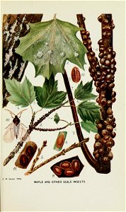
maple
tree
building
vehicle
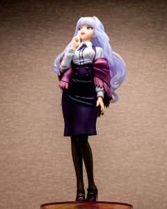
takane shijou
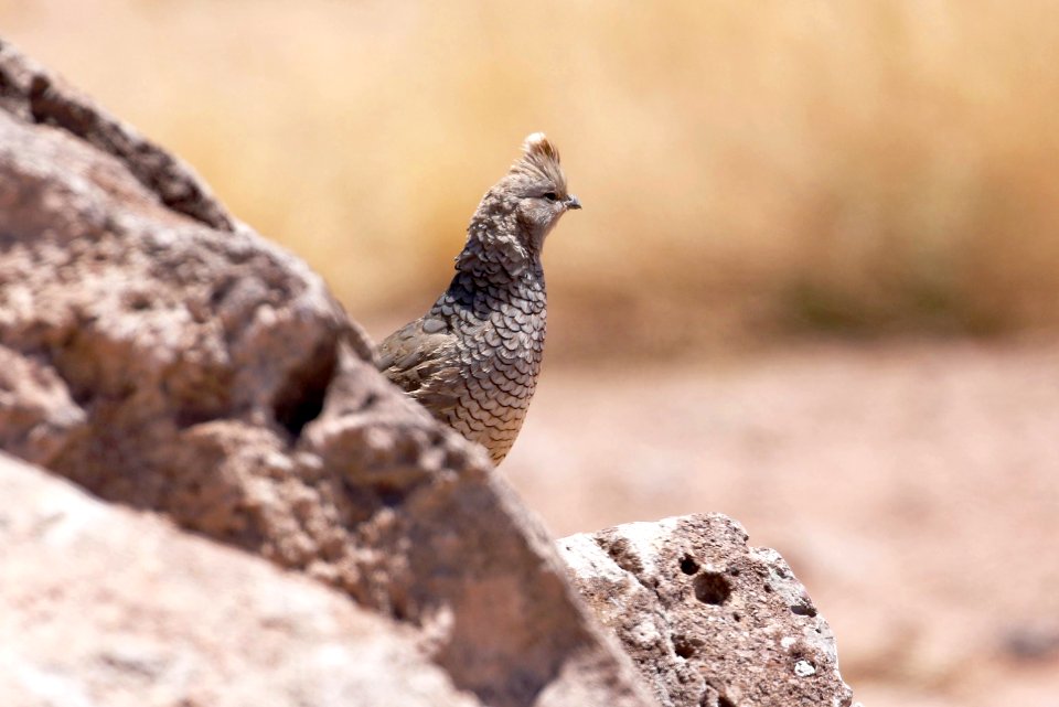
animals
bird
united states
arizona
vehicle
scale
blog posting folder
blogging
family
people
sri lanka
insects
sri lanka
insects
sri lanka
insects
sri lanka
insects
sri lanka
insects
sri lanka
insects
sri lanka
insects
sri lanka
insects
sri lanka
insects
sri lanka
insects
sri lanka
insects
sri lanka
insects
sri lanka
insects
sri lanka
insects
sri lanka
insects
sri lanka
insects
sri lanka
insects
sri lanka
insects
sri lanka
insects
sri lanka
insects
sri lanka
insects
sri lanka
insects
sri lanka
insects
sri lanka
insects
sri lanka
insects
sri lanka
insects
sri lanka
insects
sri lanka
insects
sri lanka
insects
sri lanka
insects
sri lanka
insects
sri lanka
insects
sri lanka
insects
sri lanka
insects
sri lanka
insects
sri lanka
insects
sri lanka
insects
sri lanka
insects
sri lanka
insects
sri lanka
insects
sri lanka
insects
sri lanka
insects
sri lanka
insects
sri lanka
insects
sri lanka
insects
sri lanka
insects
4401 - 4500 of 8,995
Next page
/ 90