Log in
All resources
Create a design
19,171 Free Images of Made
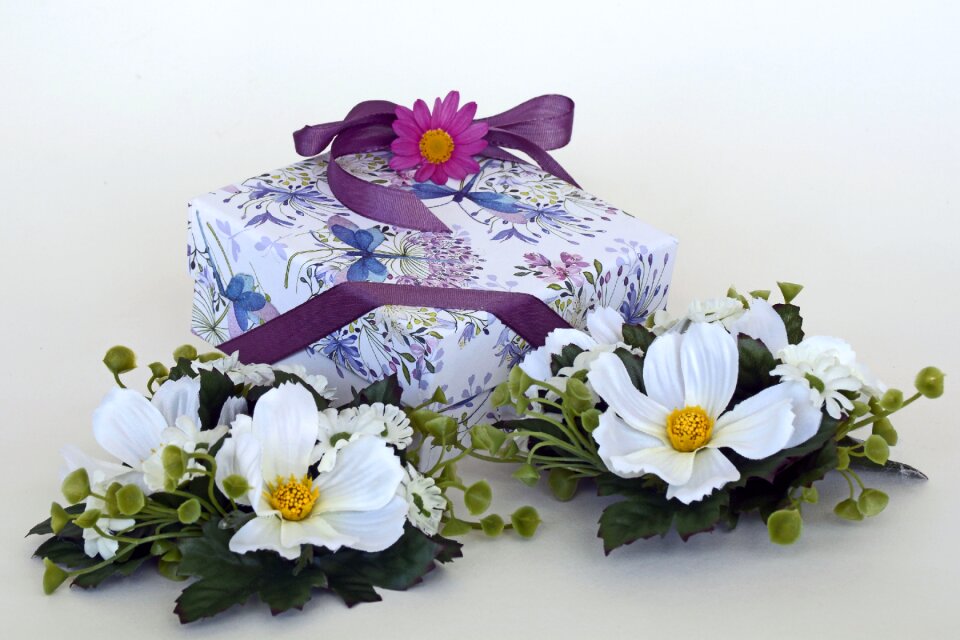
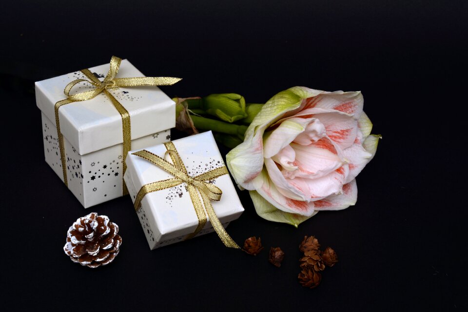
gift
christmas
birthday
decoration
giving
surprised
packing
color
loop
food
christmas
birthday
christmas
birthday
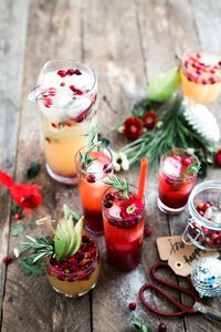
berries
food
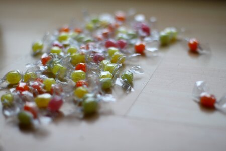
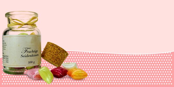
sweets
food
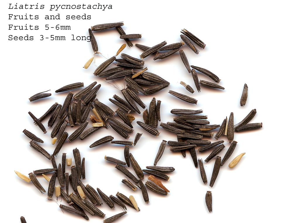
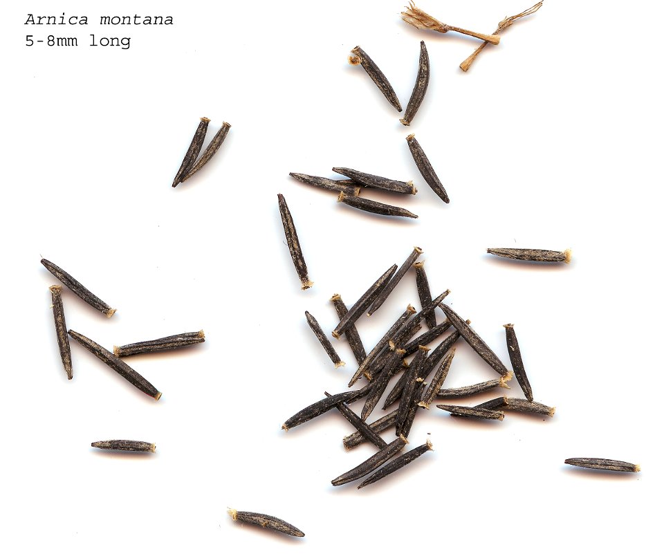
asteraceae
plants
christmas
birthday
christmas
birthday
christmas
birthday
christmas
birthday
christmas
birthday
cincinnati art museum
1788
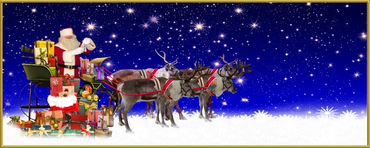
santa claus
christmas
accessory
fashion
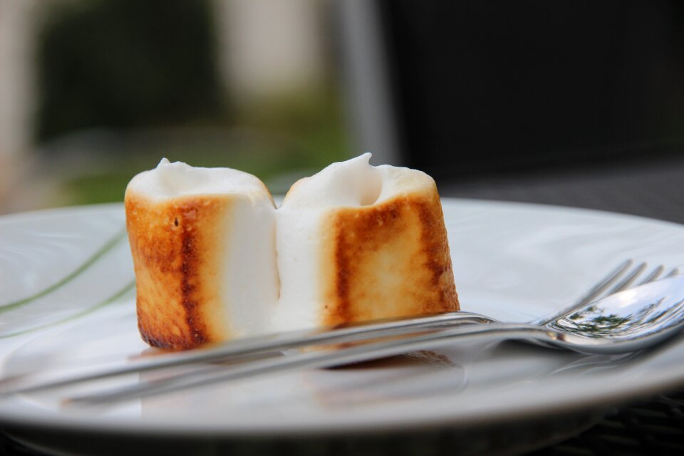
sweets
food
dessert
food
steirische harmonika
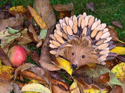
animals
mammals
mary sarah bilder
indoor
accessory
fashion
autumn
apples
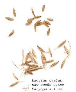
poaceae
plants
lipstick
makeup
house
tree
celebrities
group
animals
fox
valentine's day
celebrities
sweets
food
asteraceae
plants
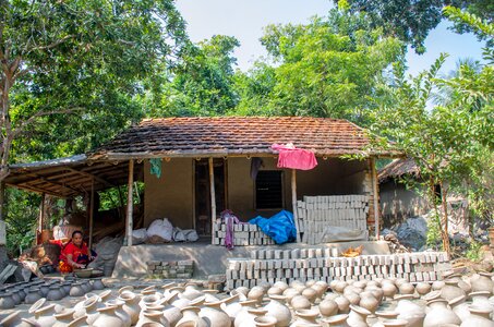
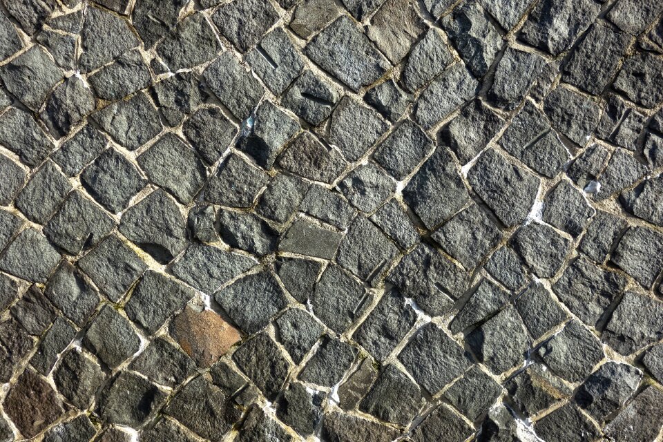
architecture
stones
self-published work
cc-zero
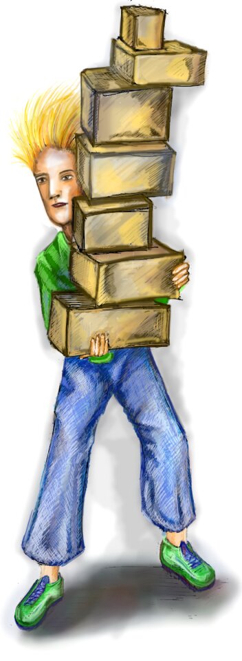
bear
man
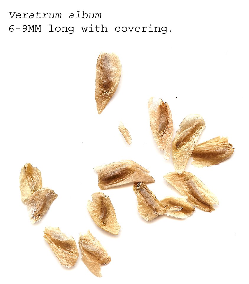
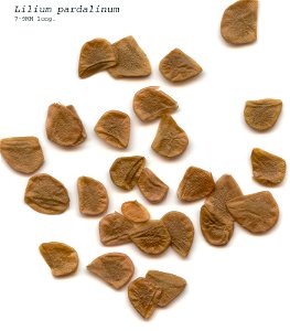
veratrum album
plants
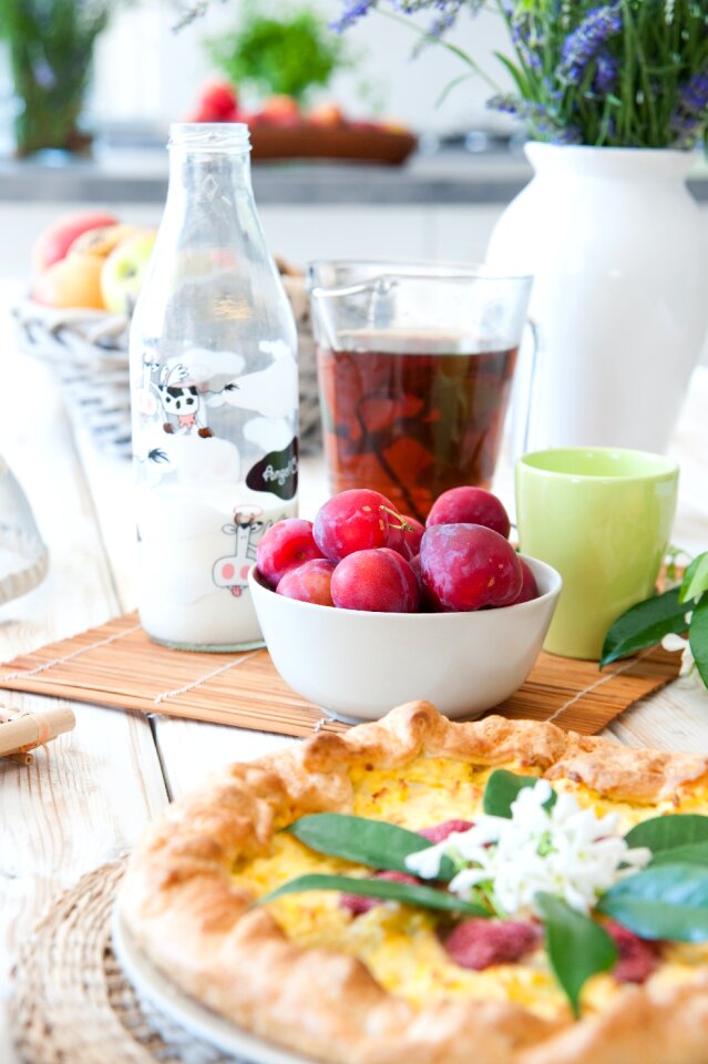
kitchen
food
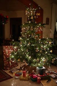
christmas
gift
lavender
scale
lavender
scale
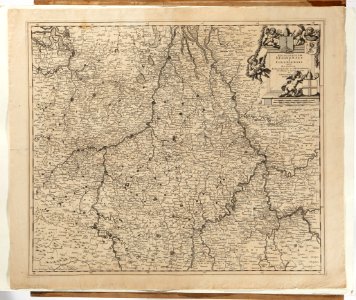
maps made in the 18th century
maps made in the 17th century
plants
brown
sweets
food
self-published work
cc-zero
self-published work
cc-zero
chinese
food
ceramic
pot
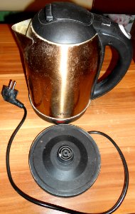
electric kettle
made in china
monochrome
tree
japanese
food
toddler
child
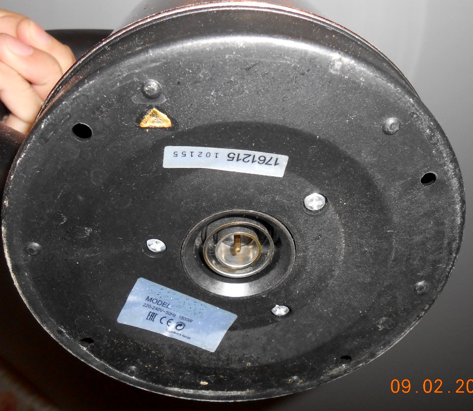
electric kettle
made in china
electric kettle
made in china
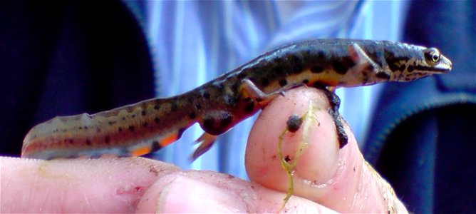
reptiles
animals
female
woman
portraits of women of italy
collections of mart
christmas decoration
christmas
plants
brown
shopping
sweets
christmas decoration
christmas
christmas decoration
christmas
christmas decoration
christmas
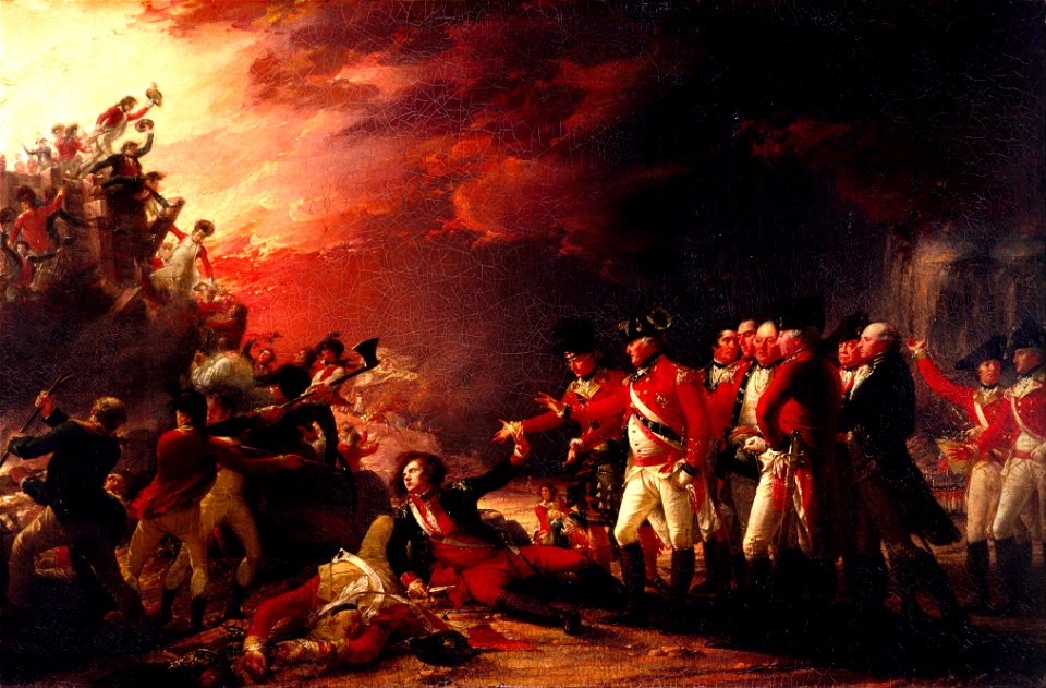
history of gibraltar
john trumbull
portraits half-turned
bun hairstyle in art
shining
scale
christmas decoration
christmas
landscape
water
christmas decoration
christmas
christmas decoration
christmas
aircraft
balloon
collections of the kunstmuseum marburg
1841 paintings
christmas decoration
christmas
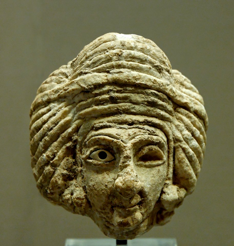
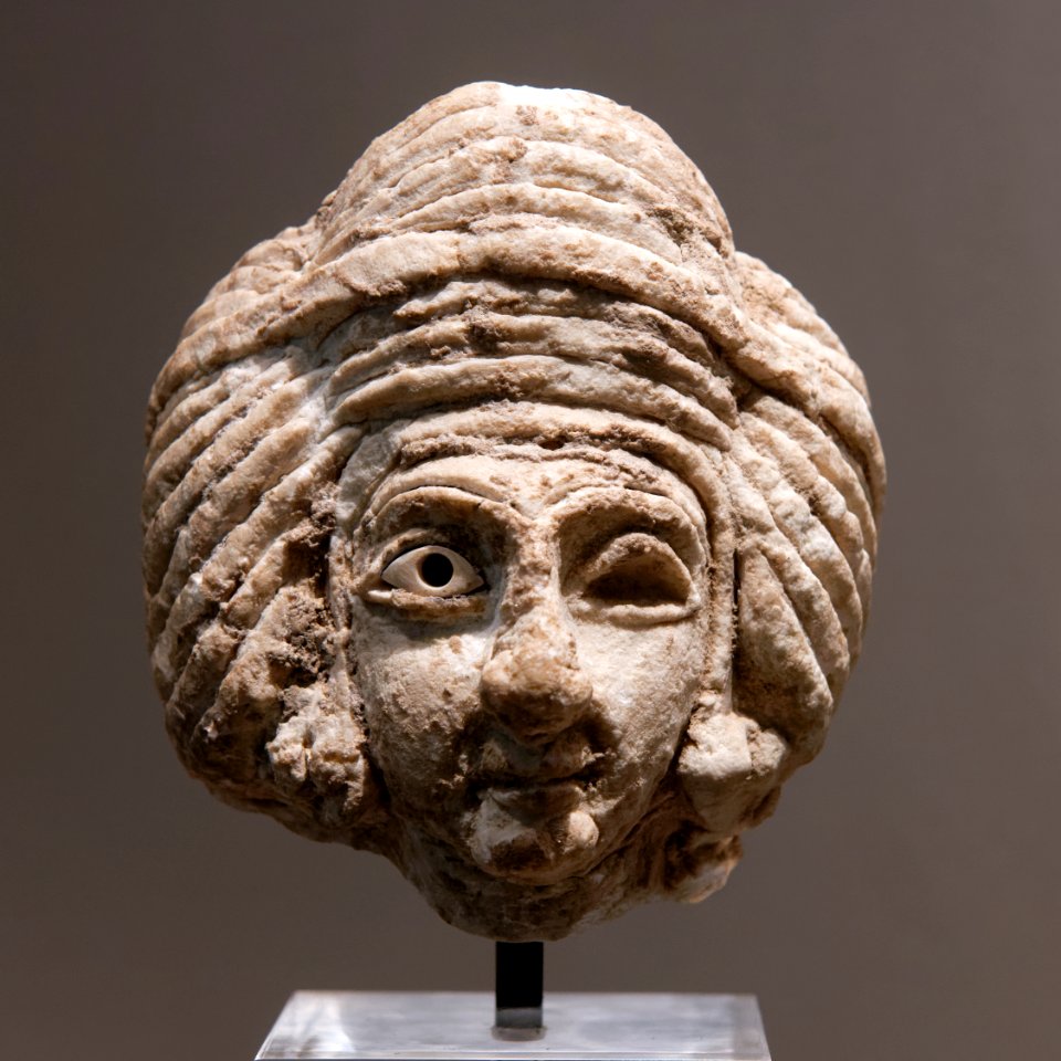
art made from limestone
early dynastic iii
santa claus
christmas
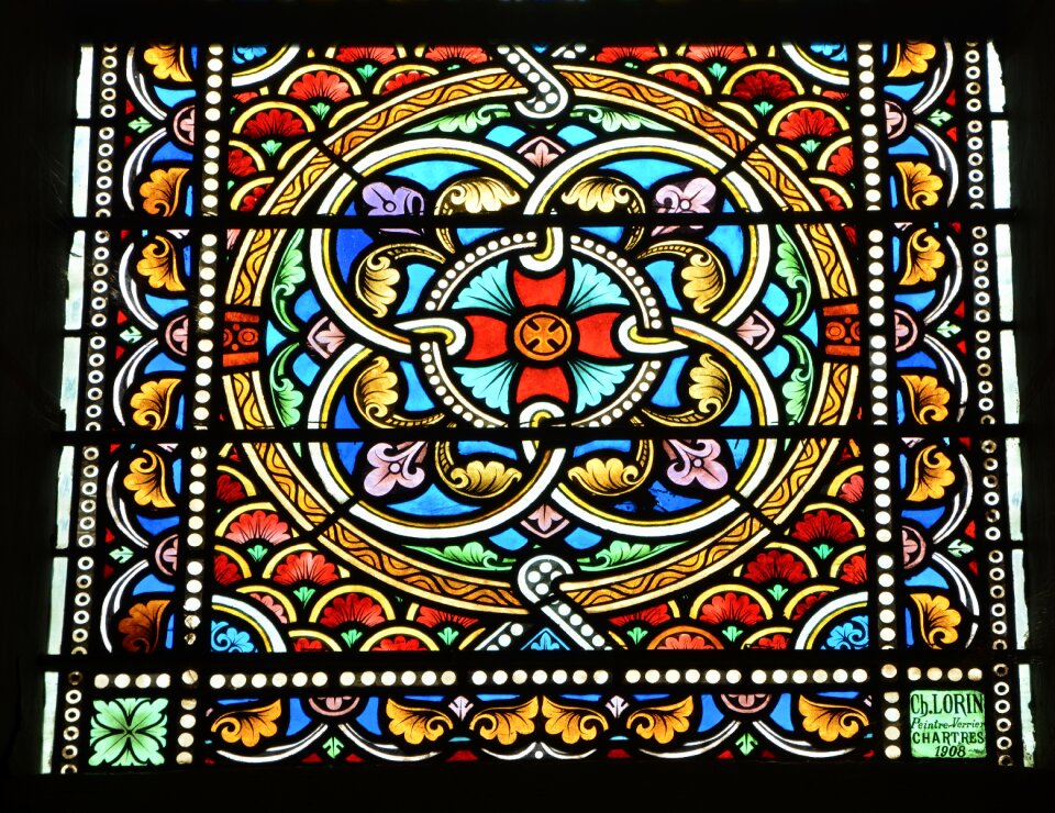
church
glass
music
cute
brown
food
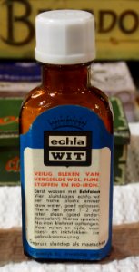
us aid indonesia
with trademark
bleach
library of congress artist posters collection
louis rhead
christmas decoration
christmas
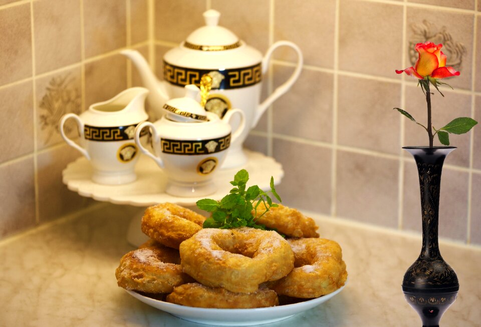
food
cup
manufacturing
nut
yellow
null
library of congress artist posters collection
louis rhead
funny
cute
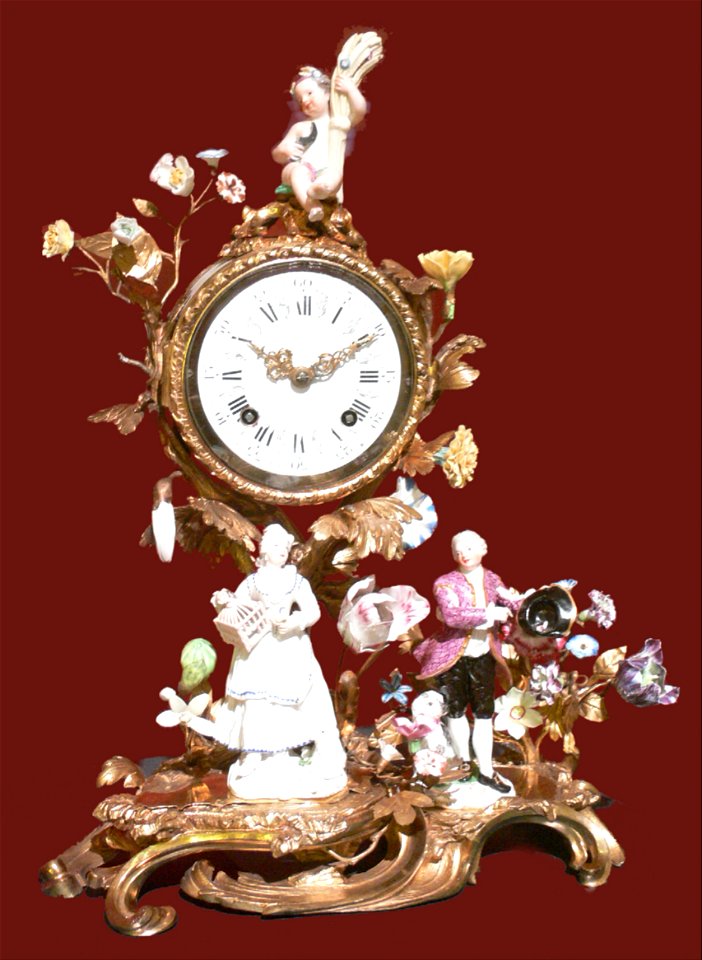
18th-century pendulum clocks
frankenthal porcelain
christmas decoration
christmas
birthday
gift
santa claus
christmas
christmas decoration
christmas
tree
toy
art made from limestone
early dynastic iii
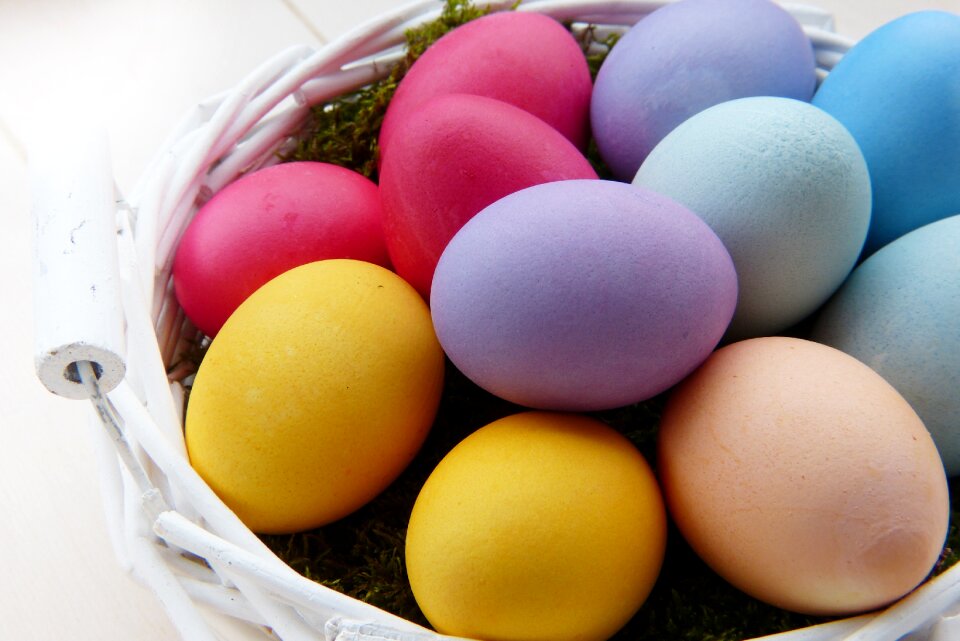
easter
food
christmas
gift
children
maps
children
maps
berries
food
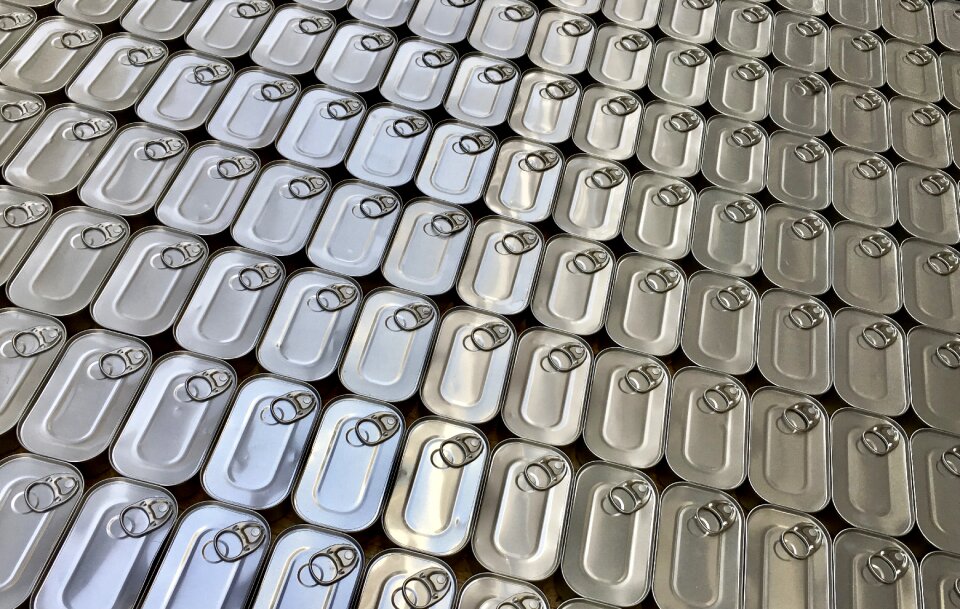
fish
food
aboriginal
patterns
white
yarn
brown
art
sweets
food
401 - 500 of 19,171
Next page
/ 192