Log in
All resources
Create a design
19,171 Free Images of Made
food
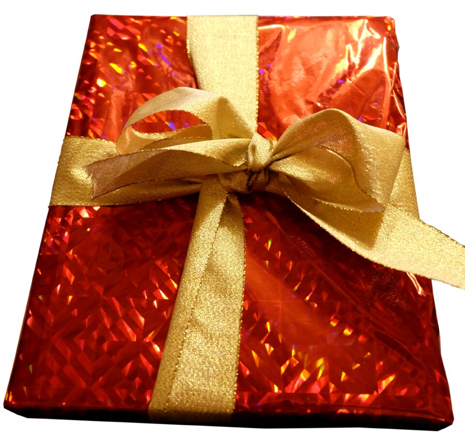
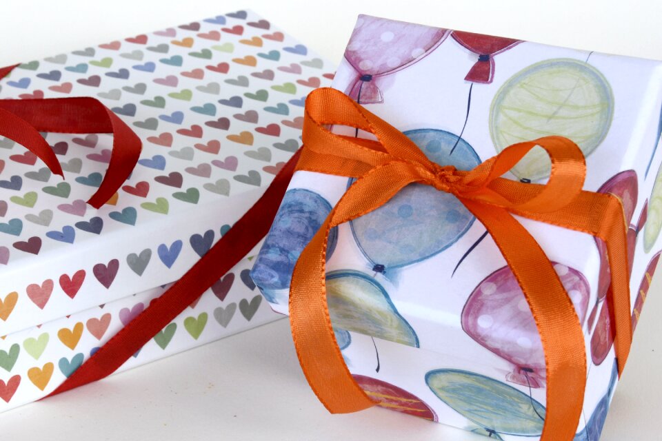
gift
packing
loop
food photography
decoration
surprised
giving
christmas
birthday
silver jubilee of queen elizabeth ii
romanticism,orientalism
19th-century paintings in the museu nacional de soares dos reis
friedrich dürck
christmas
birthday
made in germany
tin
18th-century portrait paintings in the borys voznytskyi lviv national art gallery
female portrait paintings by françois de troy
1810s paintings by jacques-louis david
neoclassicism
christmas
children
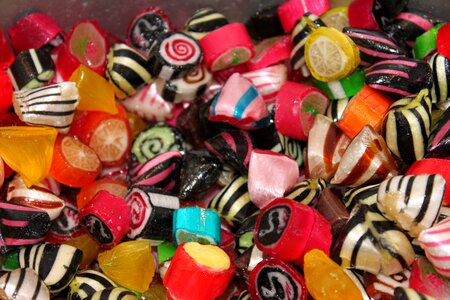
sweets
food
container
waste
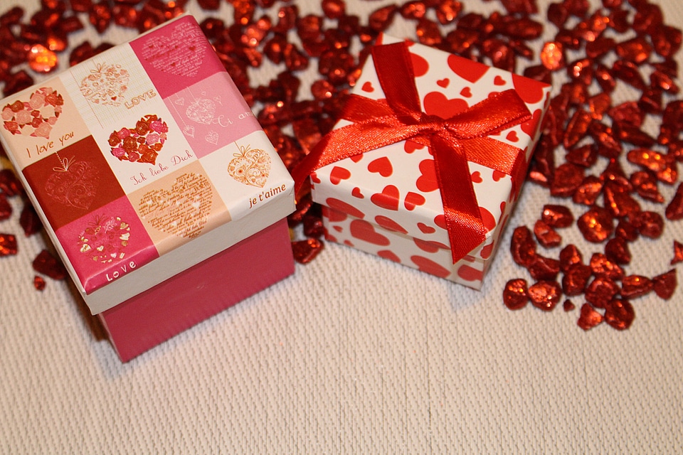
gift
love
kitchen
food
relief
star
water
boat
celebrities
people
made in germany
tin
relief
star
gift
love
animals
pig
valentine's day
food
patterns
diy
jewellery
shopping
sweets
food
vehicle
truck
patterns
water
christmas
gift
spring
flower
kitchen
food
lamiaceae
plants
kitchen
food
kitchen
food
healthy
food
kitchen
food
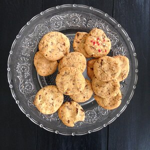
plate
food
sweets
food
plate
food
kitchen
food
living room
decoration
packaging
ship
forest
water
united states
travel
gift
bag
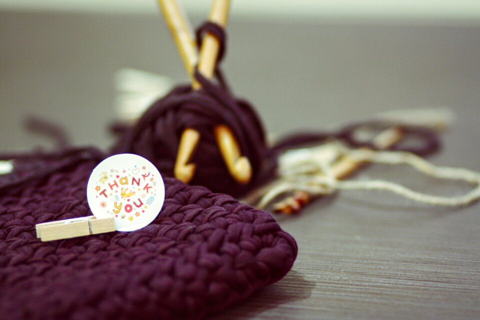
patterns
knitting
plate
food
nature
spring
food
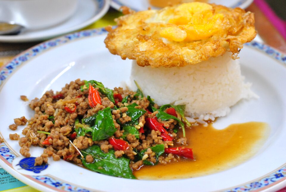
meal
ice cream
ice pop
female
woman
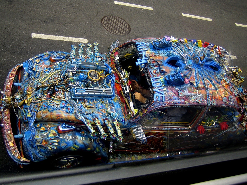
metal
car
summer
bridge
plate
food
transport
car
sweets
food
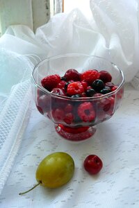
berries
food
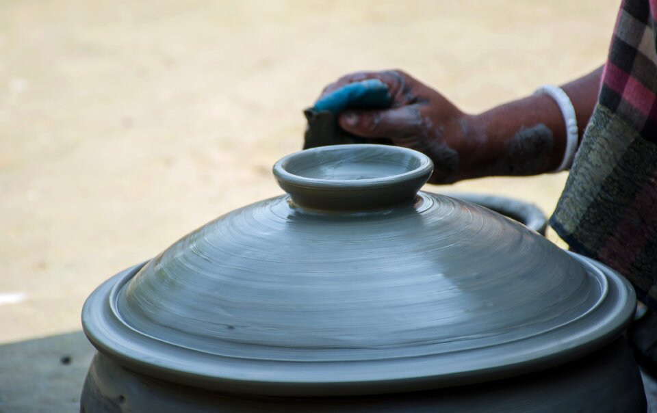
hands
pot
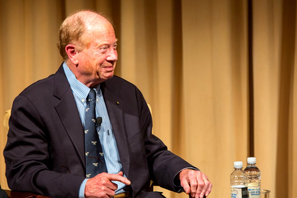
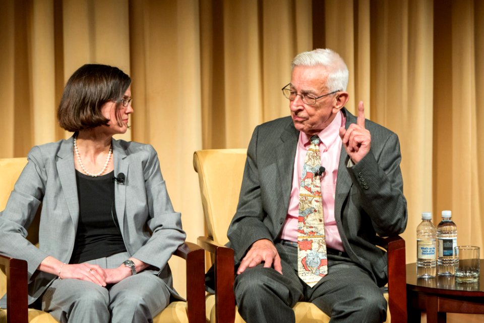
joseph ellis
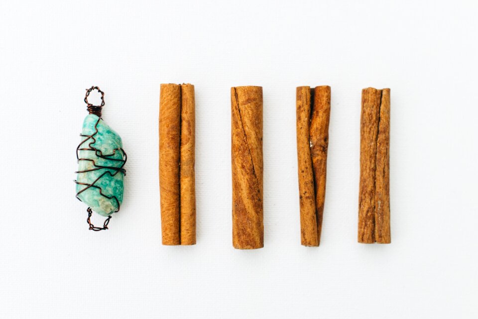
jewellery
objects
patterns
knitting
patterns
knitting
village
spring
christmas
gift
joseph ellis
architecture
building
delicious
food
wedding
award
female
woman
vehicle
car
plate
food
people
party
christmas
gift
skull
ram
food
gold
plants
food
decoration
gift
breakfast
food
cc-zero
gold
mary sarah bilder
patterns
knitting
valentine's day
celebrities
kitchen
food
animals
nature
valentine's day
celebrities
cuisine of punjab, india, made by user miansari66
food
food
bowl
plants
brown
christmas
birthday
christmas
birthday
christmas
birthday
christmas
birthday
photographer
photography
decoration
gift
mountain
footwear
mary sarah bilder
berries
food
plate
food
autumn
cute
decoration
children
christmas
birthday
christmas
birthday
christmas
birthday
301 - 400 of 19,171
Next page
/ 192