Log in
All resources
Create a design
16,781 Free Images of Language
bibliothèque nationale de france
maps of spain by tomas lopez
english language
a rapid french course for students in evening classes, private students, and others (1917)
typography
alphabet
hands
hand sign
body language
a map of the british empire in america with the french and spanish settlements adjacent thereto
a map of the british empire in america with the french and spanish settlements adjacent thereto
bibliothèque nationale de france
maps of the principality of erbach
maps by pieter van der keere
map of the strait of kerch by guillaume sanson
bibliothèque nationale de france
a map of the british empire in america with the french and spanish settlements adjacent thereto
bibliothèque nationale de france
a map of the british empire in america with the french and spanish settlements adjacent thereto
bibliothèque nationale de france
helleborus niger - botanical illustrations
flora by h. witte (pngs)
bibliothèque nationale de france
guillaume sanson
trillium grandiflorum - botanical illustrations
flora by h. witte (pngs)
maps of polná by braun & hogenberg
bibliothèque nationale de france
bibliothèque nationale de france
maps of limousin by jean fayen
cuphea lanceolata - botanical illustrations
flora by h. witte (pngs)
jodocus hondius ii, nova totius terrarum orbis geographica ac hydrographica tabula, 1636
bibliothèque nationale de france
maps of halberstadt by braun & hogenberg
maps of quedlinburg by braun & hogenberg
a map of the british empire in america with the french and spanish settlements adjacent thereto
bibliothèque nationale de france
maps of moers by johannes mercator
bibliothèque nationale de france
maps of the islands of greece by marco boschini (1658)
old maps of delos
maps of st. gallen by braun & hogenberg
maps of konstanz by braun & hogenberg
lupinus mutabilis - botanical illustrations
flora by h. witte (pngs)
eran laor cartographic collection
gerard de jode
tipu sultan in art
j. r. skelton
maps of the kingdom of seville
maps of spain by tomas lopez
robert cordier (engraver)
maps by guillaume sanson
maps of spain by tomas lopez
1780 maps of spain
maps of the kingdom of seville
maps of spain by tomas lopez
maps of the land of valkenburg
guillaume sanson
teaching illustrations for language learning
black and white icons
history
time
medieval fashion
alois greil
1891 maps of austria-hungary
maps from gallica
posters in the cooper hewitt, smithsonian design museum
1920 posters of russia
maps by willem and johannes blaeu
1638 maps of asia
victor levasseur - maps of france
1847 maps
military
army
charles william meredith van de velde
eran laor cartographic collection
louise adélaïde desnos
1846 paintings
posters in the cooper hewitt, smithsonian design museum
1920 posters of russia
1670s maps of the iberian peninsula
georg widmann
pierre alexander tardieu
delaval (surname)
la rioja (spain) in the 18th century
old maps of la rioja (spain)
map of the upper rhenian circle by sanson
maps by nicolas sanson
guillaume sanson
1674 maps
old maps of katwijk, south holland
brittenburg
atlas géographique des quatre parties du monde (delisle)
18th-century maps of the iberian peninsula
celebrities
military
military
travel
1760s maps of the americas
1760 maps
french-language maps of south africa
1876 maps of africa
english-language books about london
old maps of the city of london
elephant riding in art of india
illustrations by warwick goble
john williams (missionary)
1837 books
sanson maps of north america
maps by nicolas sanson
eran laor cartographic collection
claes jansz. visscher (ii)
17th-century maps of dordogne
philippe de la rué
1750s maps of the netherlands
18th-century maps of zeeland
a rapid french course for students in evening classes, private students, and others (1917)
a rapid french course for students in evening classes, private students, and others (1917)
henry william bunbury
a rapid french course for students in evening classes, private students, and others (1917)
robert clive, 1st baron clive in art
j. r. skelton
spanish-language maps
1785 maps
maps of spain by tomas lopez
old maps of guadeloupe
maps of ancient israel by philippe de la rué
eran laor cartographic collection
landais & oberthur
maps from gallica
maps of alcanerilla by braun & hogenberg
context files from gallica
maps of ancient italy by philipp clüver
maps of ancient sicily
typography
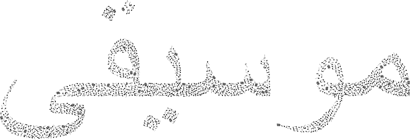
music
typography
music
ribbon
blue
ribbon
blue
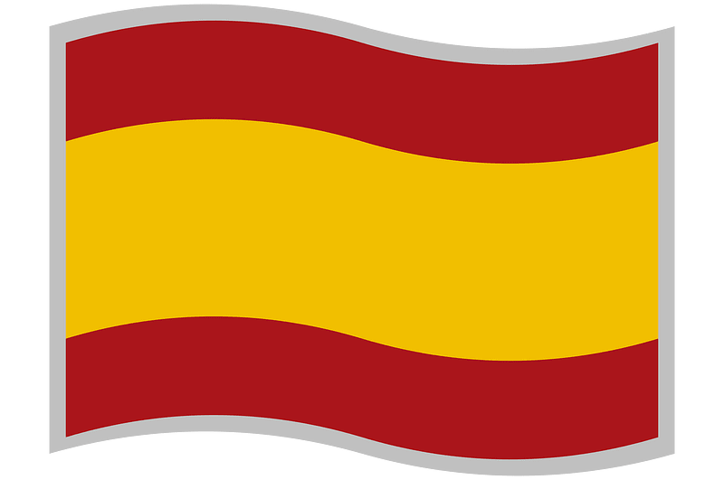
spain
flag
electronics
technology
ornament
wine
ornament
heart
ornament
heart
symbol
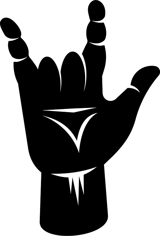
finger
géographie générale; physique, politique et économique (1876)
1870s maps of australia
english-language books about london
crosby hall
a rapid french course for students in evening classes, private students, and others (1917)
the gout (gillray)
our empire story by h. e. marshall
j. r. skelton
illustrations by warwick goble
indian myth and legend (1913)
the history and antiquities of london, westminster, southwark and parts adjacent
english-language books about london
avant l'opération (1887 painting)
a rapid french course for students in evening classes, private students, and others (1917)
a rapid french course for students in evening classes, private students, and others (1917)
maps by guillaume sanson
old maps of friesland
old maps of norway
guillaume sanson
19th-century maps of andalusia
mapa general de españa (1802)
maps of spain by tomas lopez
1769 maps of spain
maps of spain by tomas lopez
1768 maps of spain
1698 map of evesché de meaux
robert cordier (engraver)
1770 illustrations
1770 books
drawings (print room), leiden university library
jan gerard smits
😃 emoji
face
hands
peace
electronics
technology
finger
devil
skeleton
symbol
symbol
finger
typography
music
13401 - 13500 of 16,781
Next page
/ 168


![Polna vulgo Polm insign. Bohemiae civitas regnum a Moravia dividens / Communicavit Georg[ius] Houfnaglius depictum a filio A[nn]o 1617, 1635](https://cdn.creazilla.com/illustrations/10001289479/polna-vulgo-polm-insign-bohemiae-civitas-regnum-a-moravia-dividens-communicavit-georgius-houfnaglius-depictum-a-filio-anno-1617-1635-md.jpg)


![Topographic map of the south-western slope of Menez-haut / surveyed and drawn up [...] by AM Kamelin, 1849](https://cdn.creazilla.com/illustrations/10001387383/topographic-map-of-the-south-western-slope-of-menez-haut-surveyed-and-drawn-up-by-am-kamelin-1849-sm.webp)

![Siciliae antiquae descriptio. 15; Corsicae antiquae descriptio. 16; Sardiniae antiquae descriptio / auctore Phil[ippo] Cluverio; Henry le Roy fecit, 1624](https://cdn.creazilla.com/illustrations/10001349357/siciliae-antiquae-descriptio-15-corsicae-antiquae-descriptio-16-sardiniae-antiquae-descriptio-auctore-phil-ippo-cluverio-henry-le-roy-fecit-1624-sm.jpg)