Log in
All resources
Create a design
2,560 Free Images of Kaart
maps in the rijksmuseum amsterdam
history
historical
prints of cartouches in the rijksmuseum amsterdam
cc-zero
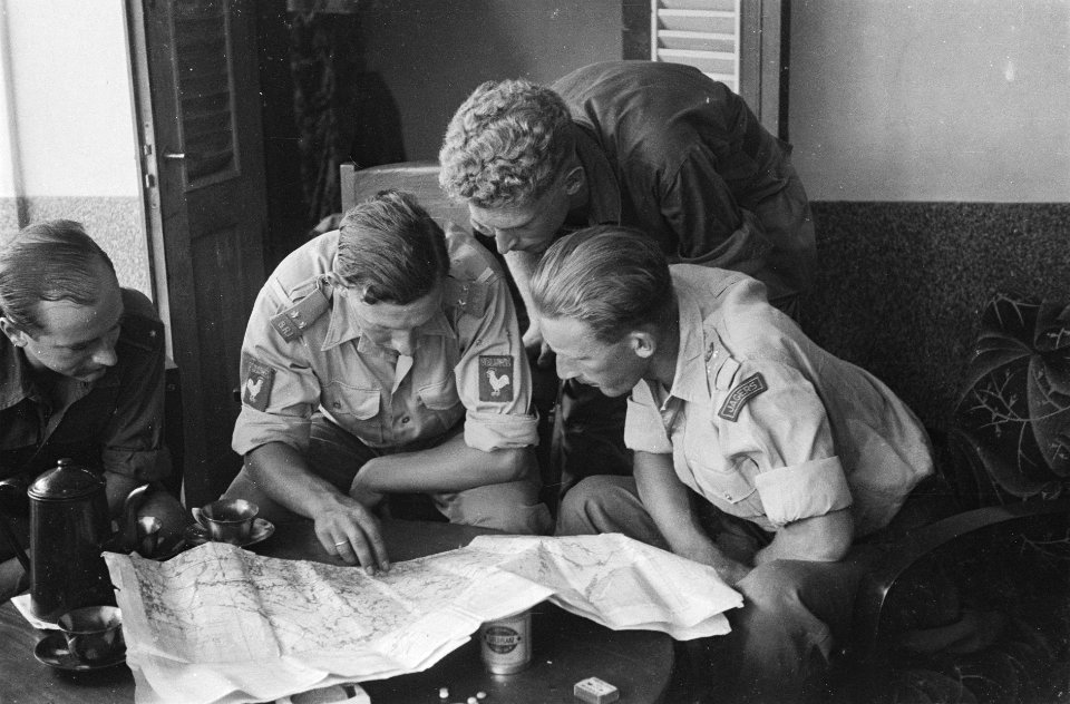
images from nationaal archief
images from anefo
prints by jacob van meurs in the rijksmuseum amsterdam
jacob van meurs
bernardus schotanus à sterringa
les forces de l'europe, asie, afrique et amerique, ou description des principales villes, avec leurs fortifications
portolan charts made in the 18th century
het groote tafereel der dwaasheid (1720)
maps in the rijksmuseum amsterdam
maps by johannes vingboons
old maps of asia
prints by boëtius adamsz. bolswert in the rijksmuseum amsterdam
siege of breda 1624-1625
prints by claes jansz. visscher (ii) in the rijksmuseum amsterdam
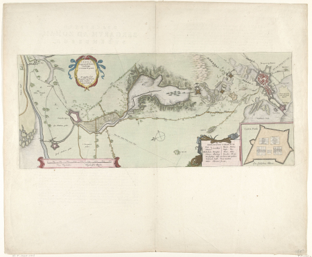
siege of schenkenschans 1636
prints by coenraet decker in the rijksmuseum amsterdam
maps in the rijksmuseum amsterdam
prints of cartouches in the rijksmuseum amsterdam
maps in the rijksmuseum amsterdam
maps in the rijksmuseum amsterdam
etchings of watermills
prints of cartouches in the rijksmuseum amsterdam
maps in the rijksmuseum amsterdam
maps in the rijksmuseum amsterdam
etchings of ports and harbours
het groote tafereel der dwaasheid, 1720
maps in the rijksmuseum amsterdam
atlas vingboons
1665
maps in the rijksmuseum amsterdam
maps of haskerland
prints by claes jansz. visscher (ii) in the rijksmuseum amsterdam
siege of maastricht (1632)
prints by claes jansz. visscher (ii) in the rijksmuseum amsterdam
siege of schenkenschans 1636
maps in the rijksmuseum amsterdam
lucas janszoon waghenaer
maps in the rijksmuseum amsterdam
isaac haringhuysen
maps in the rijksmuseum amsterdam
lucas janszoon waghenaer
prints of cartouches in the rijksmuseum amsterdam
maps in the rijksmuseum amsterdam
prints of cartouches in the rijksmuseum amsterdam
maps in the rijksmuseum amsterdam
maps in the rijksmuseum amsterdam
maps by willem and johannes blaeu
maps in the rijksmuseum amsterdam
caspar specht
prints of cartouches in the rijksmuseum amsterdam
maps in the rijksmuseum amsterdam
maps in the rijksmuseum amsterdam
caspar specht
historical
history
history
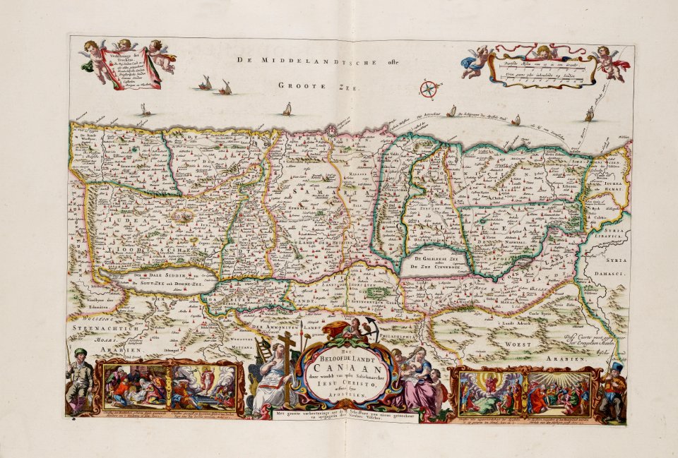
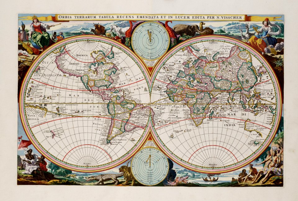
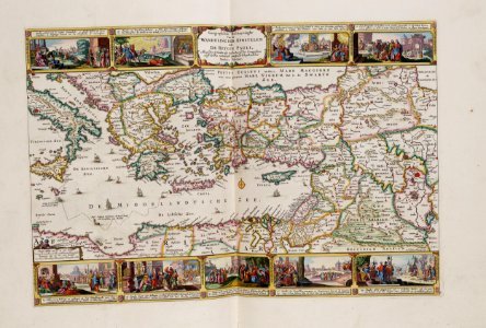
maps
prints of cartouches in the rijksmuseum amsterdam
maps in the rijksmuseum amsterdam
dutch 17th-century prints in the rijksmuseum amsterdam
siege of bergen-op-zoom 1622
old maps of north holland
zaandam
maps in the rijksmuseum amsterdam
everard meyster
maps in the rijksmuseum amsterdam
old maps of south holland
prints by jan van huchtenburg in the rijksmuseum amsterdam
collection voorhelm schneevoogt
duin en daal (bloemendaal)
historical
history
history
maps
historical
history
historical
history
historical
history
historical
history
historical
history
historical
history
historical
history
history
maps
prints of cartouches in the rijksmuseum amsterdam
maps in the rijksmuseum amsterdam
prints of cartouches in the rijksmuseum amsterdam
maps in the rijksmuseum amsterdam
prints of cartouches in the rijksmuseum amsterdam
maps in the rijksmuseum amsterdam
maps in the rijksmuseum amsterdam
lucas janszoon waghenaer
thomas thomasz 1578 map of haarlem
joannes van doetecum (i)
maps in the rijksmuseum amsterdam
lucas janszoon waghenaer
prints of cartouches in the rijksmuseum amsterdam
maps in the rijksmuseum amsterdam
prints by jacques callot in the rijksmuseum amsterdam
planchejacques callot
maps in the rijksmuseum amsterdam
johannes ratelband
prints of cartouches in the rijksmuseum amsterdam
maps in the rijksmuseum amsterdam
prints published by claes jansz. visscher (ii) in the rijksmuseum amsterdam
maps in the rijksmuseum amsterdam
prints of cartouches in the rijksmuseum amsterdam
maps in the rijksmuseum amsterdam
prints of cartouches in the rijksmuseum amsterdam
maps in the rijksmuseum amsterdam
prints of cartouches in the rijksmuseum amsterdam
maps in the rijksmuseum amsterdam
prints of cartouches in the rijksmuseum amsterdam
maps in the rijksmuseum amsterdam
prints of cartouches in the rijksmuseum amsterdam
maps in the rijksmuseum amsterdam
prints of cartouches in the rijksmuseum amsterdam
maps in the rijksmuseum amsterdam
maps of the dutch east india company - sri lanka
18th-century maps of sri lanka
stereo cards of algeria in the rijksmuseum amsterdam
photographs by pierre-ambroise richebourg
old maps of groningen (city)
egbert haubois
drawings by carel adolph lion cachet in the rijksmuseum amsterdam
maps in the rijksmuseum amsterdam
prints by jacques callot in the rijksmuseum amsterdam
planchejacques callot
prints published by claes jansz. visscher (ii) in the rijksmuseum amsterdam
maps in the rijksmuseum amsterdam
prints of cartouches in the rijksmuseum amsterdam
maps in the rijksmuseum amsterdam
prints published by claes jansz. visscher (ii) in the rijksmuseum amsterdam
maps in the rijksmuseum amsterdam
maps in the rijksmuseum amsterdam
gaasterland (municipality)
prints by jan luyken in the rijksmuseum amsterdam
maps in the rijksmuseum amsterdam
prints of cartouches in the rijksmuseum amsterdam
maps in the rijksmuseum amsterdam
prints of cartouches in the rijksmuseum amsterdam
maps in the rijksmuseum amsterdam
prints of cartouches in the rijksmuseum amsterdam
maps in the rijksmuseum amsterdam
prints of cartouches in the rijksmuseum amsterdam
maps in the rijksmuseum amsterdam
historical
history
historical
history
historical
history
historical
history
historical
history
historical
history
historical
history
historical
history
historical
history
historical
history
maps in the rijksmuseum amsterdam
maps by willem and johannes blaeu
prints by oluf olufsen bagge in the statens museum for kunst
etching print
les forces de l'europe, asie, afrique et amerique, ou description des principales villes, avec leurs fortifications
maps in the rijksmuseum amsterdam
historical
history
historical
history
historical
history
historical
history
historical
history
historical
history
historical
history
historical
history
historical
history
historical
history
maps made in the 17th century
novi belgii, atlas maior
les forces de l'europe, asie, afrique et amerique, ou description des principales villes, avec leurs fortifications
portolan charts made in the 18th century
prints by claes jansz. visscher (ii) in the rijksmuseum amsterdam
maps in the rijksmuseum amsterdam
1201 - 1300 of 2,560
Next page
/ 26