Log in
All resources
Create a design
10,047 Free Images of Geographical
national geographic
underwater
sea life
marine
ocean
biology
animals
blue
sea
water
landscape
nature
landscape
nature
landscape
nature
the voyage of the vega round asia and europe
third voyage of willem barentsz
underwater
marine
underwater
sea
animals
water
animals
water
underwater
marine
animals
fish
landscape
rock
astronomy
planet
landscape
rock
animals
fish
landscape
boat
landscape
rock
astronomy
planet
science
travel
underwater
sea
animals
water
national geographic
character
underwater
animals
underwater
ocean
animals
water
agriculture
bird
landscape
nature
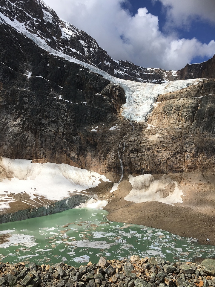
landscape
mountain
earth
world
underwater
animals
underwater
sea
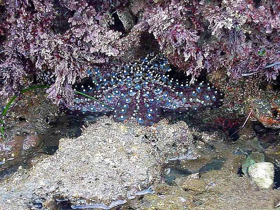
underwater
arthropod
underwater
sea
animals
water
underwater
sea
astronomy
planet
travel
sea
animals
water
underwater
tree
underwater
sea
self-published work
pages with maps
wildlife
animals
underwater
sea
animals
fish
underwater
travel
animals
bird
underwater
sea
travel
sea
underwater
animals
underwater
sea
astronomy
planet
astronomy
planet
wildlife
ghost
travel
sea
travel
sea
travel
sea
animals
sea
wildlife
animals
animals
water
animals
fish
underwater
australia
underwater
sea
underwater
sea
travel
sea
adventure
travel
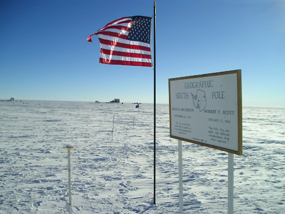
geographic south pole marker
south pole station
monument
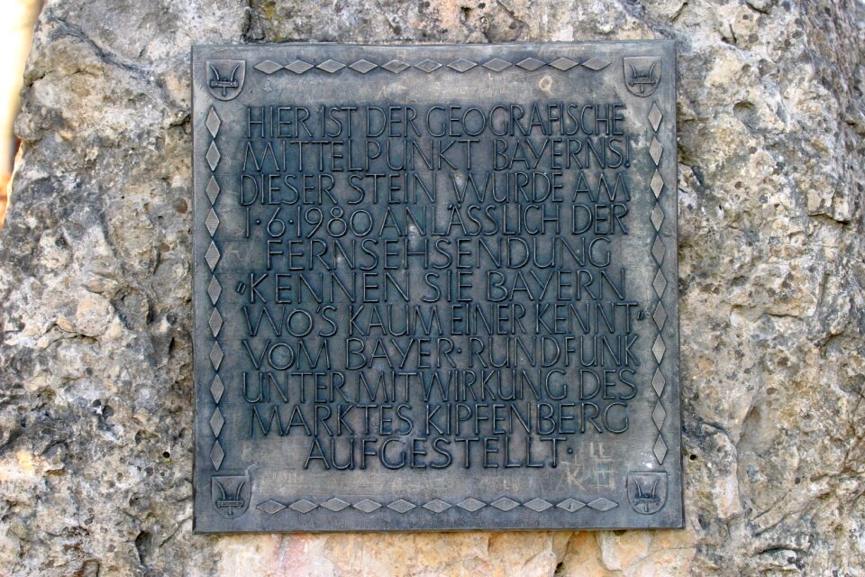
bavaria
1875 wood engravings
1875 portraits
underwater
blue
underwater
tree
underwater
animals
self-published work
cc-zero
animals
sea
animals
travel
animals
sea
underwater
rock
underwater
leaf
underwater
ocean
vehicle
water
animals
fish
animals
sea
underwater
animals
travel
fish
animals
travel
people with maps in art
1840 paintings
wildlife
animals
water
sea
animals
water
nature
water
travel
water
self-published work
cc-zero
underwater
fish
underwater
animals
animals
fish
underwater
animals
underwater
animals
animals
travel
underwater
creatures
underwater
brazil
animals
fish
nature
fish
301 - 400 of 10,047
Next page
/ 101