Log in
All resources
Create a design
10,047 Free Images of Geographical
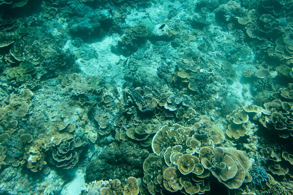
underwater
national geographic
sea life
fish
biology
animals
ocean
marine
wildlife
fauna
travel
fish
travel
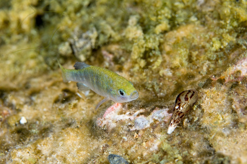
fish
animals
fish
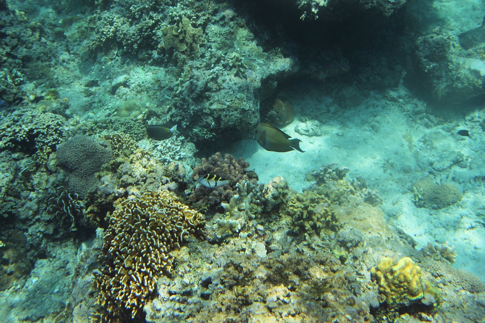
travel
fish
animals
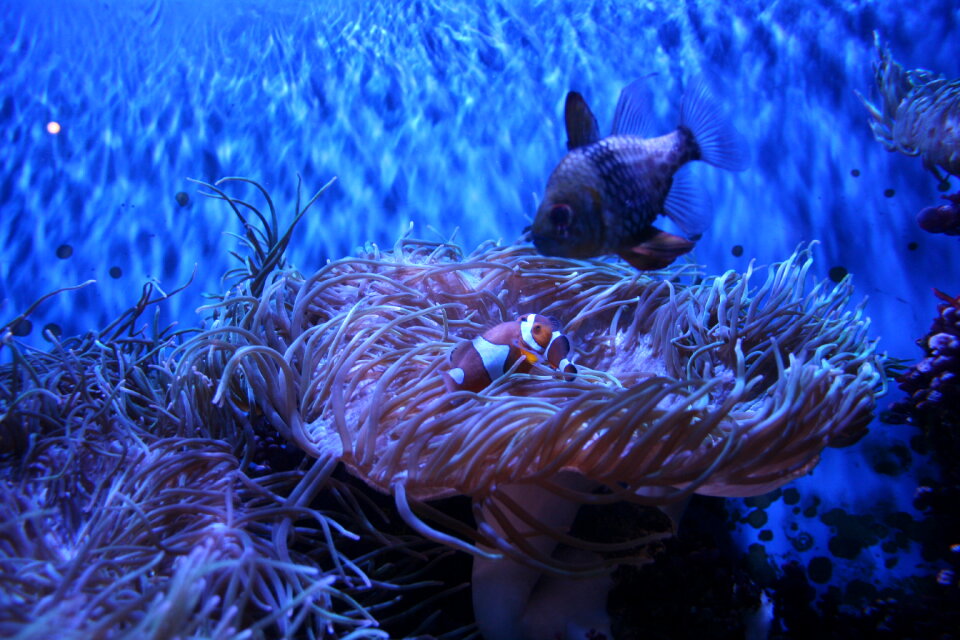
fish
animals
fish
animals
fish
animals
fish
animals
nature
animals
fish
animals
fish
animals
fish
animals
fish
animals
fish
animals
fish
animals
fish
animals
fish
animals
fish
animals
travel
animals
fish
animals
fish
travel
fish
animals
fish
animals
fish
animals
fish
animals
fish
animals
fish
animals
fish
animals
fish
animals
fish
animals
fish
animals
travel
animals
fish
animals
fish
animals
fish
animals
fish
animals
fish
travel
fish
animals
fish
animals
fish
animals
fish
animals
fish
animals
fish
animals
fish
typus orbis terrarum
1570 maps
animals
fish
animals
fish
animals
fish
animals
fish
travel
fish
animals
fish
animals
fish
animals
fish
animals
fish
travel
water
water
fish
animals
fish
water
fish
animals
fish
travel
fish
animals
fish
travel
fish
animals
fish
travel
fish
fish
sea
animals
fish
travel
fish
animals
fish
fish
sea
animals
fish
animals
fish
animals
fish
animals
fish
animals
fish
animals
fish
animals
fish
animals
fish
animals
fish
landscape
tree
landscape
tree
landscape
nature
landscape
nature
landscape
mountain
animals
water
landscape
mountain
landscape
tree
landscape
nature
landscape
mountain
water
boat
underwater
sea life
landscape
winter
landscape
nature
animals
fish
wildlife
animals
landscape
forest
landscape
rock
landscape
rock
landscape
tree
landscape
rock
animals
travel
201 - 300 of 10,047
Next page
/ 101