Log in
All resources
Create a design
38,713 Free Artworks of Maps
maps made in the 17th century
charts and maps of the royal museums greenwich
maps in the library of congress
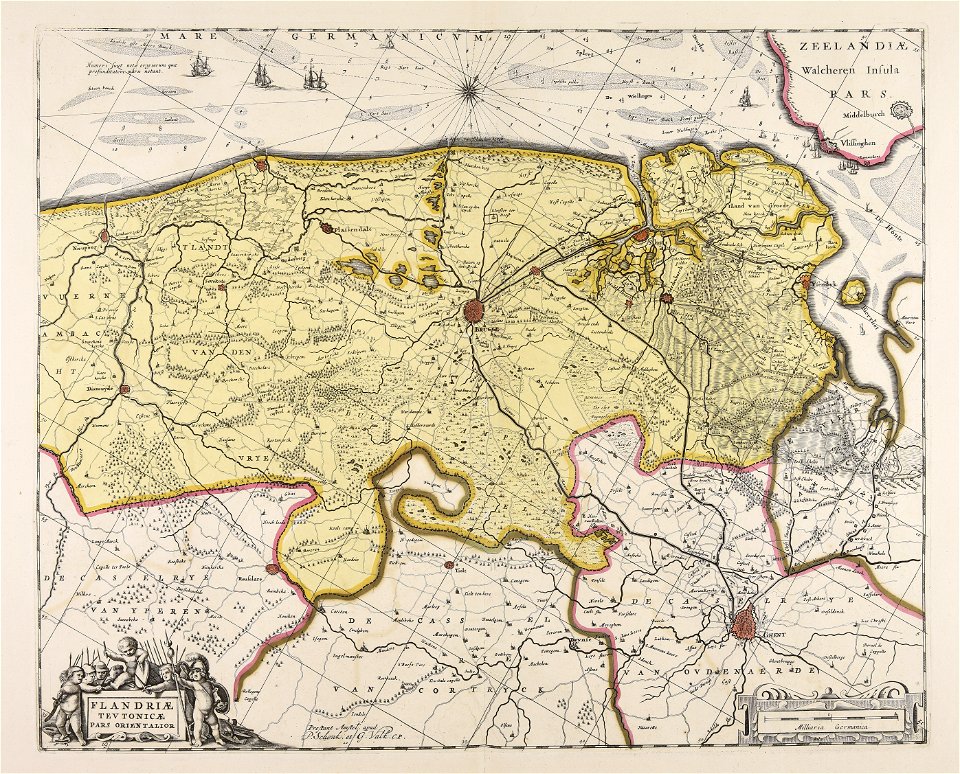
maps of the west-indische compagnie
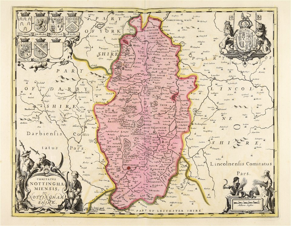
gerard valck
maps by pieter schenk (i)
atlantis magni tomus secundus (biblioteca comunale di trento)
1682 maps
maps with cartouches
atlas van der hagen
maps in the library of congress
1862 maps
maps in the library of congress
1862 maps
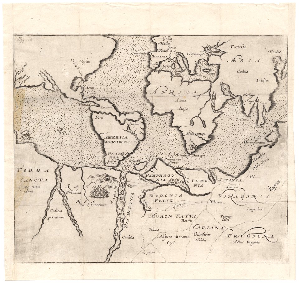
maps made in the 17th century
old maps of the world
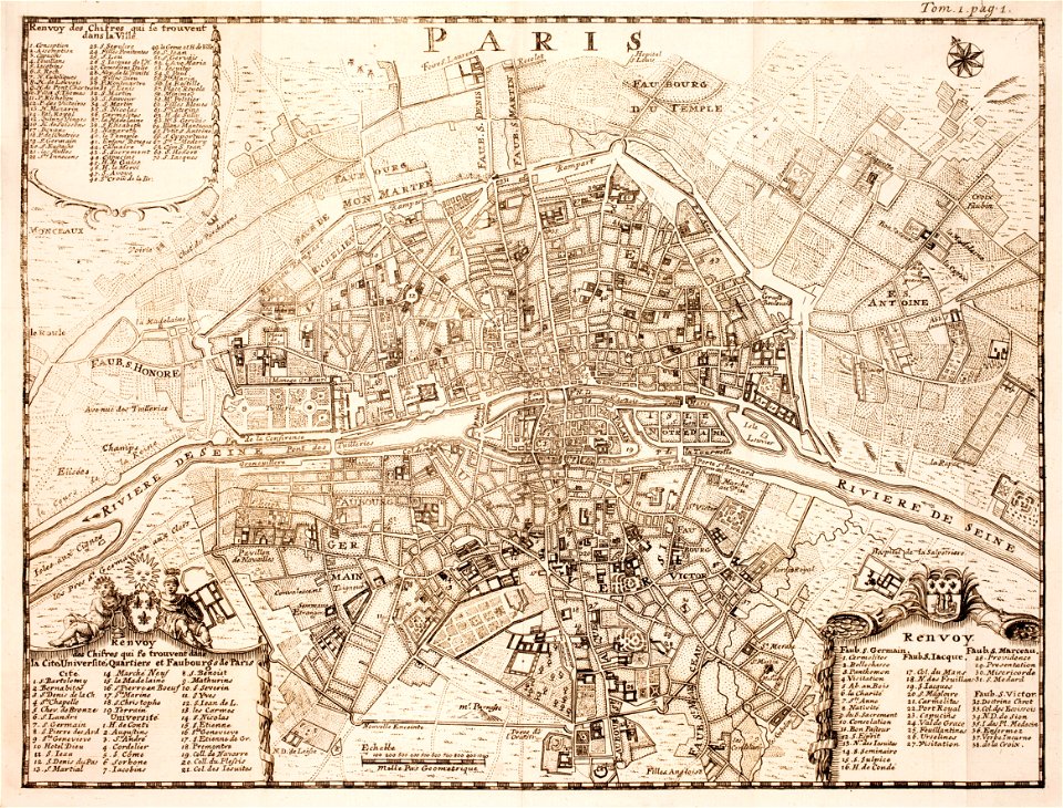
18th-century maps of paris
maps of paris in the 1740s
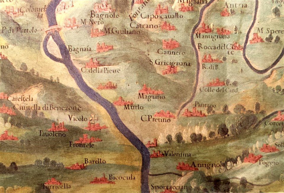
history of perugia
old maps of umbria
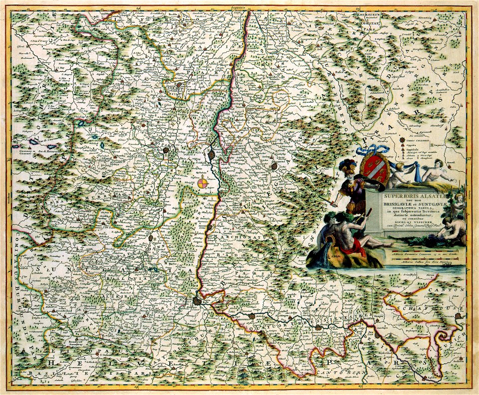
maps made in the 17th century
gerard valck
maps made in the 17th century
gerard valck
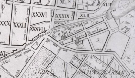
windmills in stockholm
maps of östermalm
charts and maps of the royal museums greenwich
1600 maps
maps in the library of congress
1762 maps
maps in the library of congress
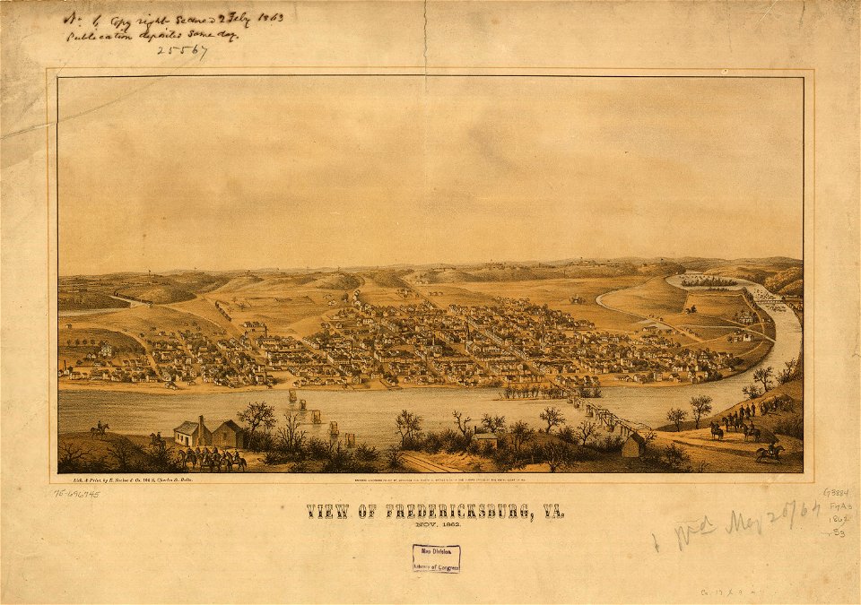
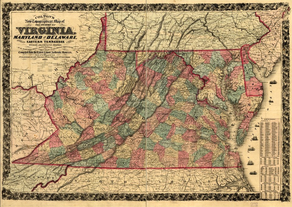
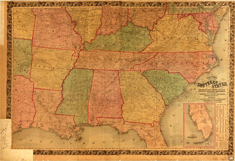
1863 maps of virginia
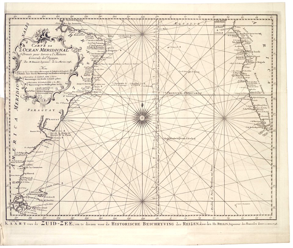
charts and maps of the royal museums greenwich
1682 maps
charts and maps of the royal museums greenwich
1830 maps
charts and maps of the royal museums greenwich
1807 maps
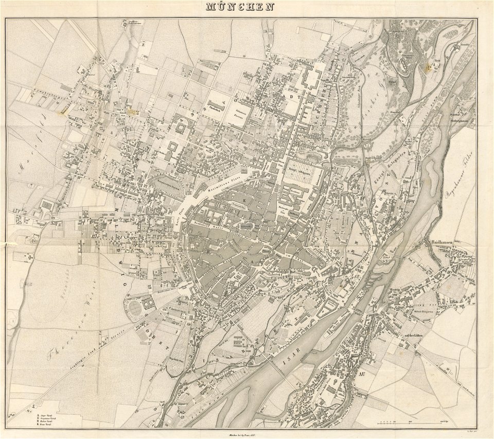
old city maps of munich
munich in the 1830s
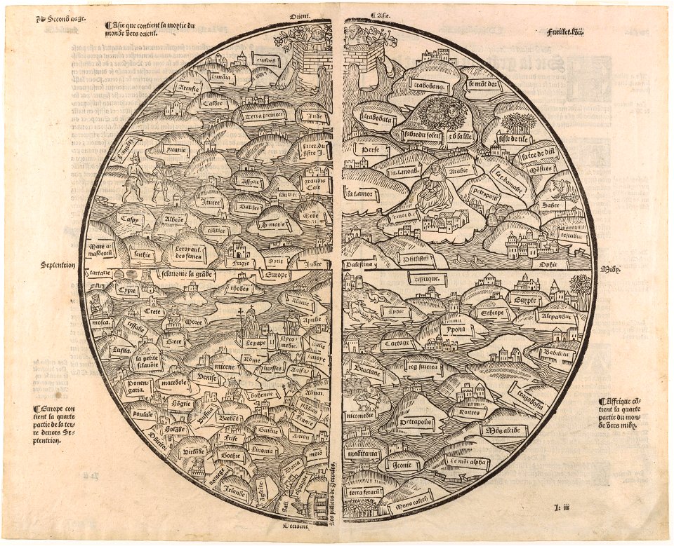
cosmographia (1628) by sebastian münster
old maps of the british isles
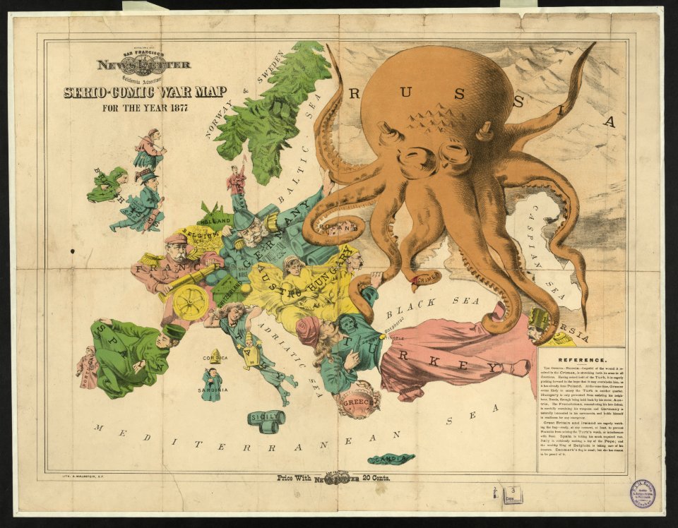
19th-century satirical maps
europe in the 1870s
charts and maps of the royal museums greenwich
1682 maps
maps by jacob van deventer
old maps of brielle
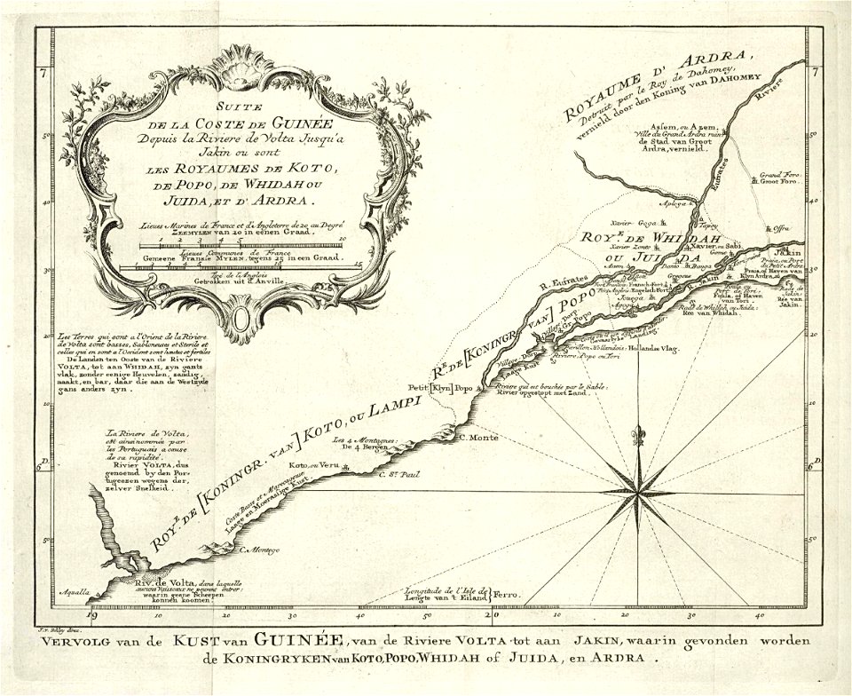
maps of the west-indische compagnie
1732
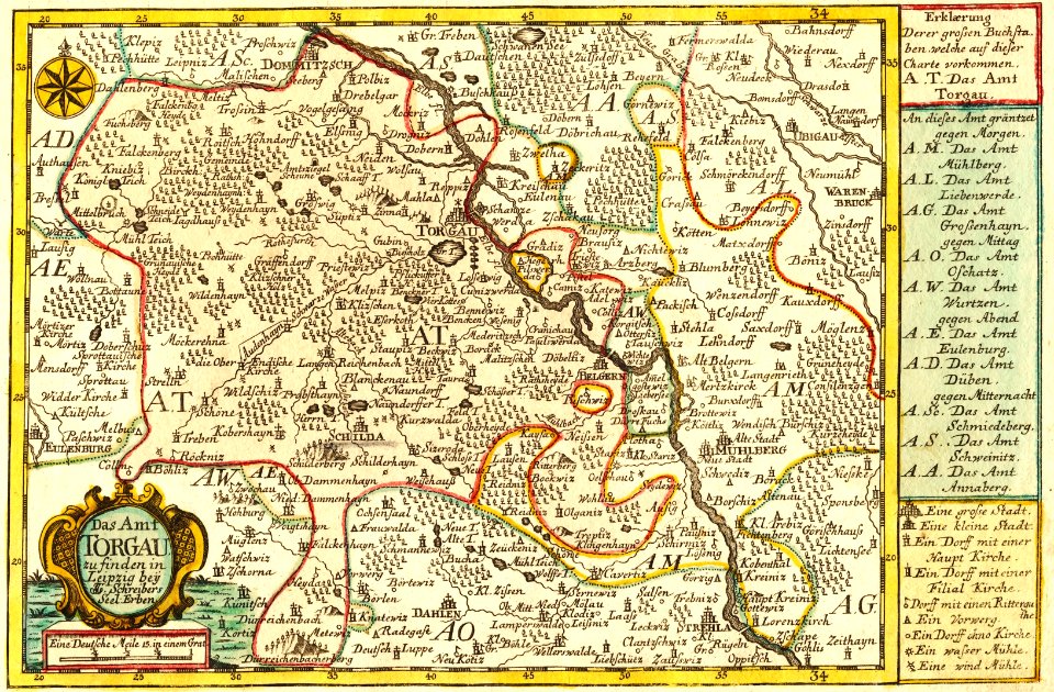
johann george schreiber
old maps of saxony
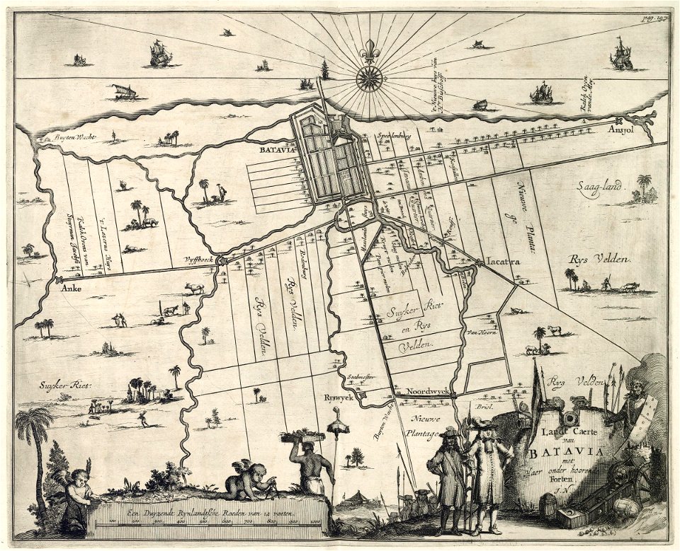
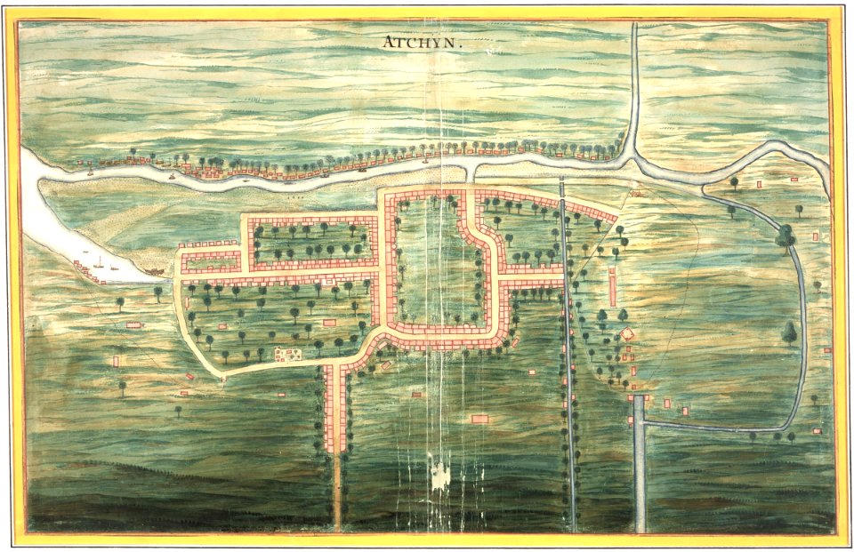
maps of the dutch east india company - indonesia
1598
maps of the west-indische compagnie
1747)
old maps of the dutch east india company
1705
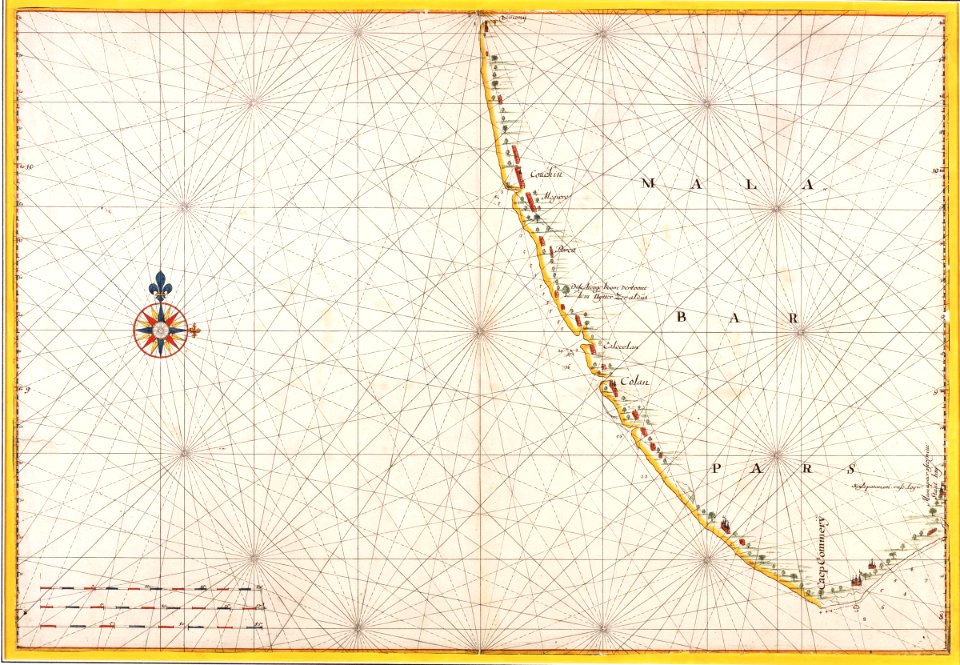
maps of the dutch east india company - india
1638
maps of the dutch east india company - indonesia
1682)
maps of the west-indische compagnie
1747)
maps of the west-indische compagnie
1716
maps of the west-indische compagnie
1716
abraham goos
1624
maps of the west-indische compagnie
1757
maps of the west-indische compagnie
1747)
maps of the dutch east india company - china
1746
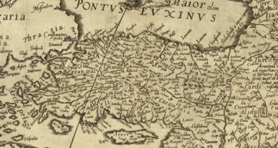
old maps of turkey
1590 maps
maps of the dutch east india company - india
1665
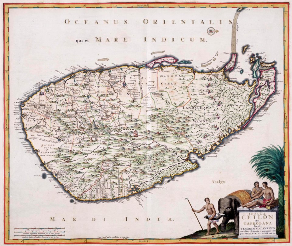
maps of the dutch east india company - sri lanka
1680s
maps of the dutch east india company - indonesia
1665
old maps of the community of madrid
1868 maps
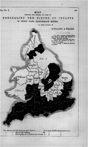
maps in london labour and the london poor (1851)
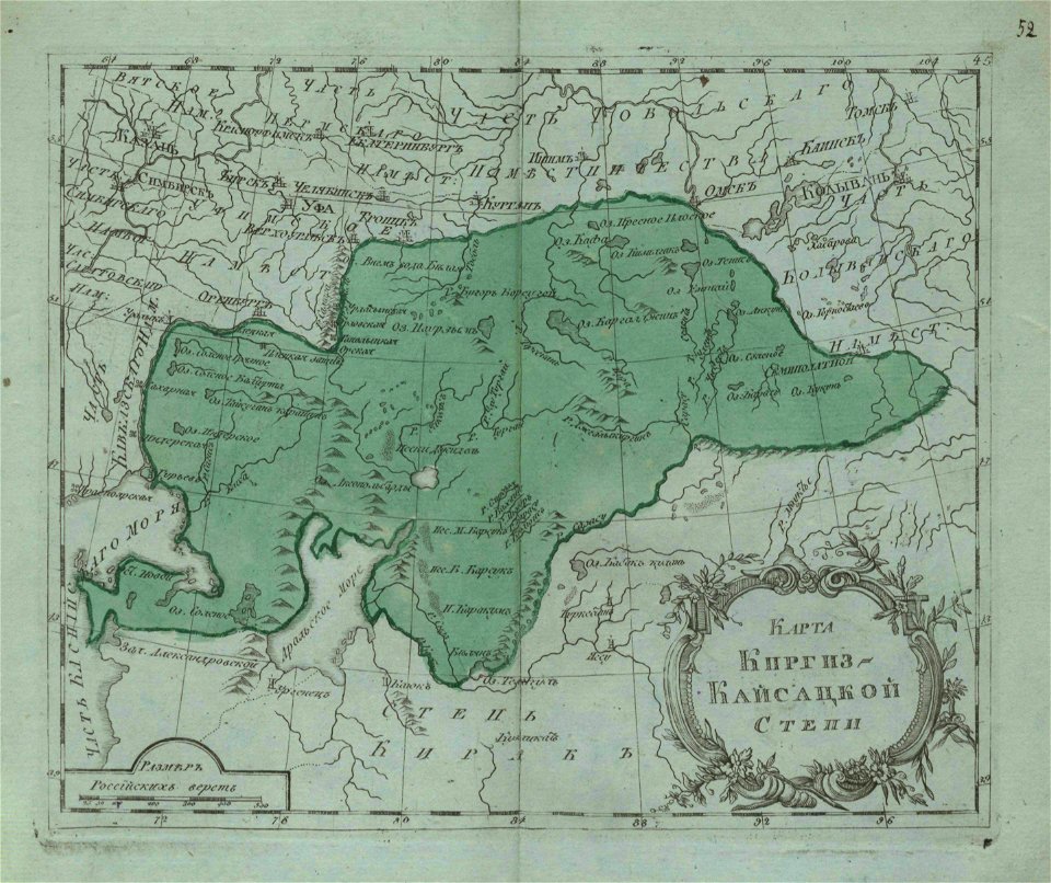
small atlas of the russian empire (1796)
maps of kazakhstan
illustrations of cosmographia (münster)
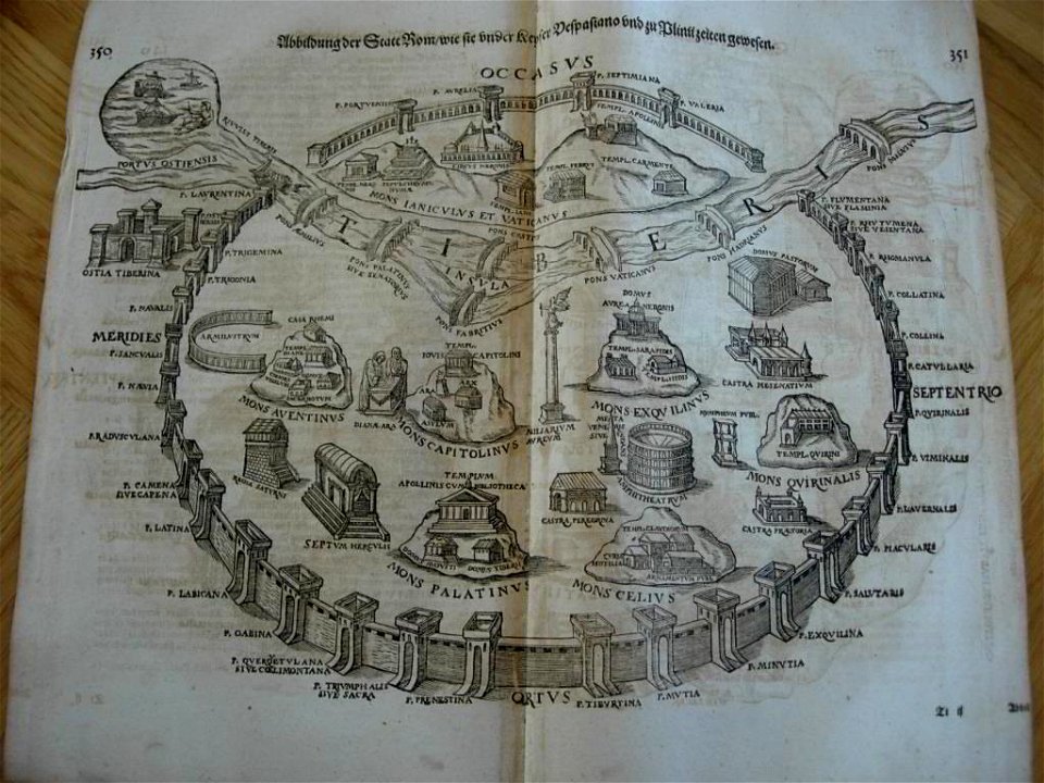
old maps of rome
maps by royal bavarian land tax commission
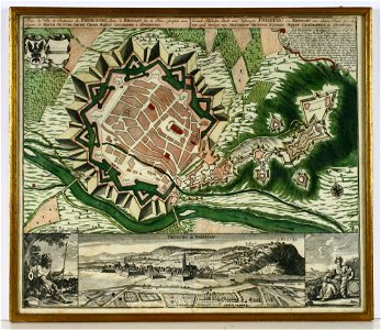
old maps of freising
lidingöbro värdshus
villervallan
1861 in bretagne
1861 maps
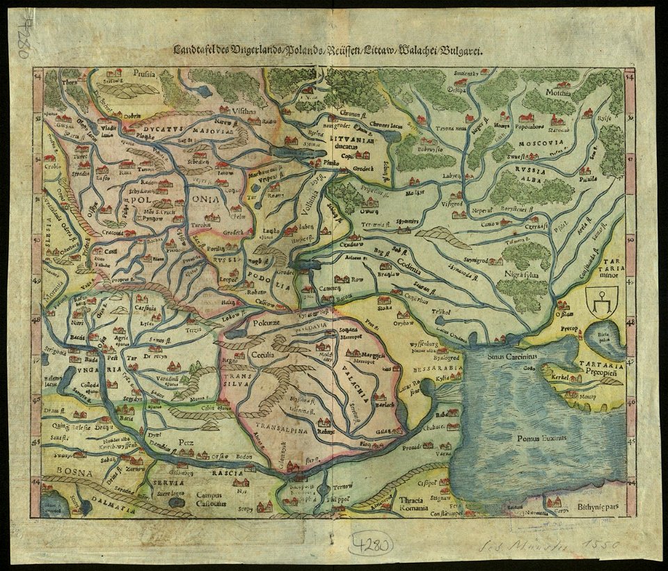
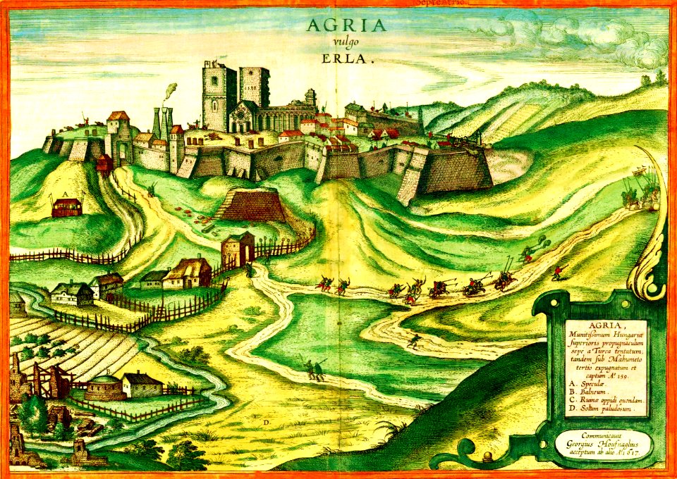
17th-century maps of hungary
old maps of budapest
charts and maps of the royal museums greenwich
1682 maps
charts and maps of the royal museums greenwich
1682 maps
maps by christoph weigel
1720 maps
maps by jacob van deventer
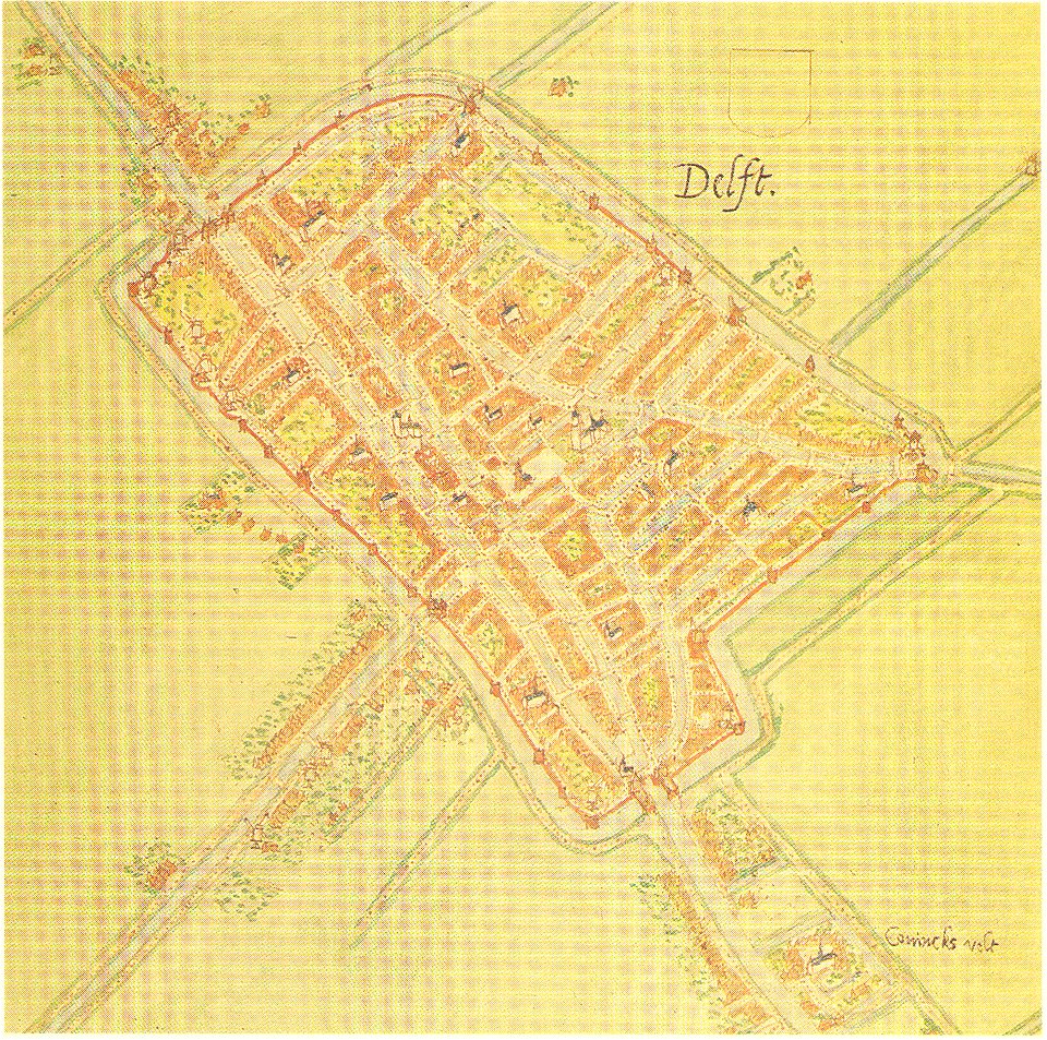
old maps of delft
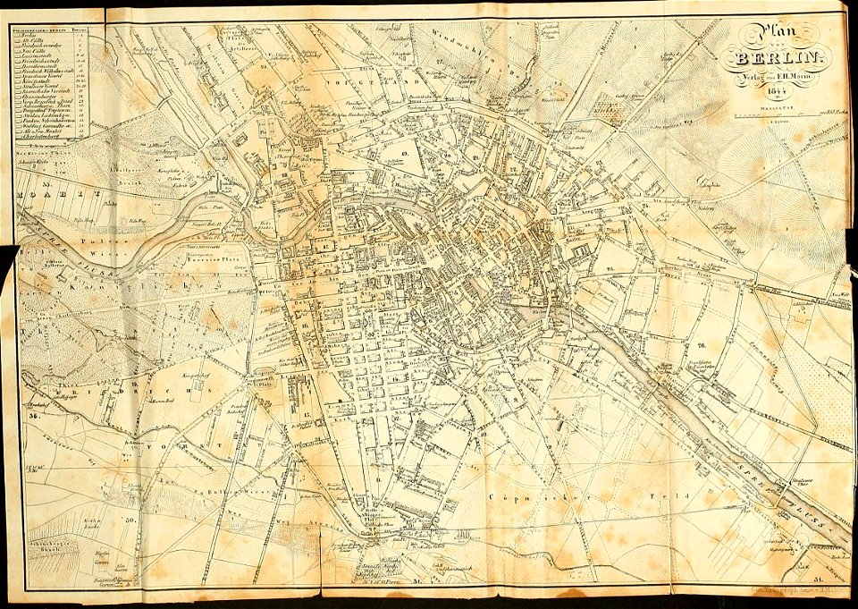
19th-century maps of berlin
1844 maps
maps in the library of congress
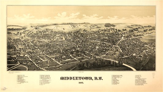
1887 maps of new york (state)
der neue brockhaus 1937
maps by brockhaus
illustrations of cosmographia (münster)
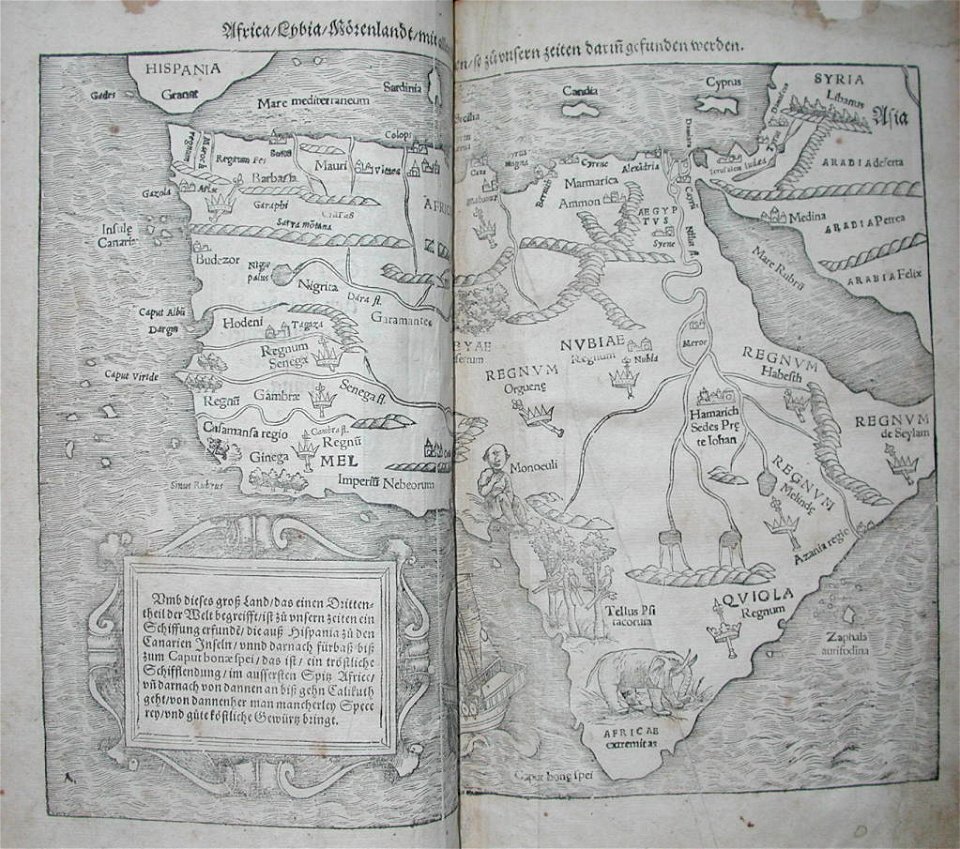
old maps of africa
charts and maps of the royal museums greenwich
1572 maps
ämteratlas des fürstentums lüneburg von johannes mellinger
maps of elbe in hamburg
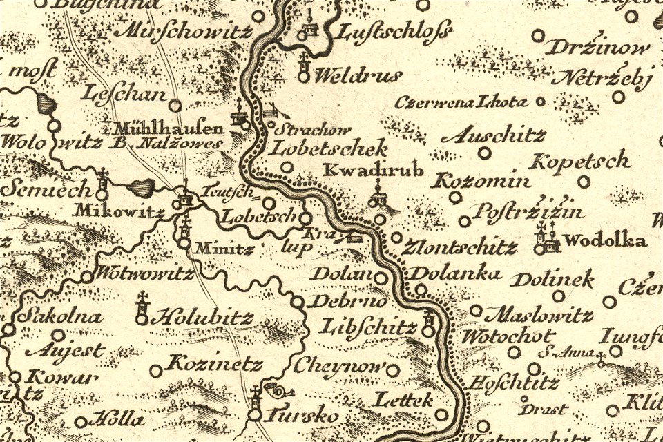
details of müller's map of bohemia
maps of kralupy nad vltavou
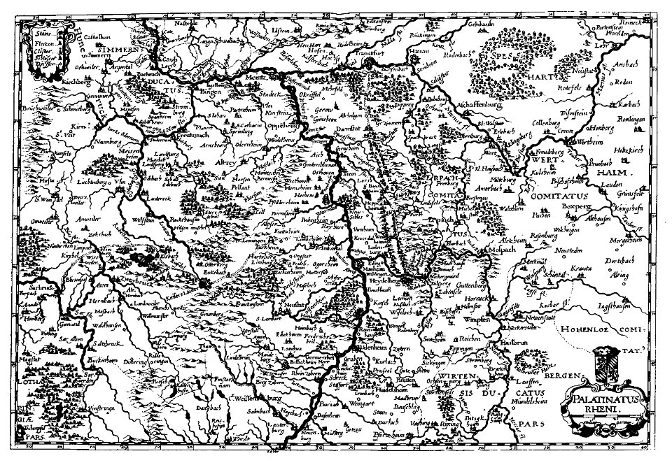
old maps of rhineland-palatinate
engravings by matthäus merian
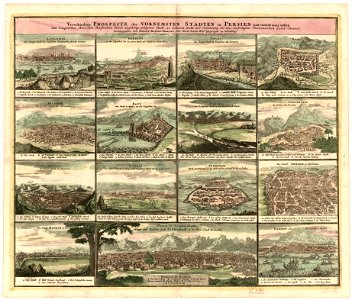
description des principales villes (1690)
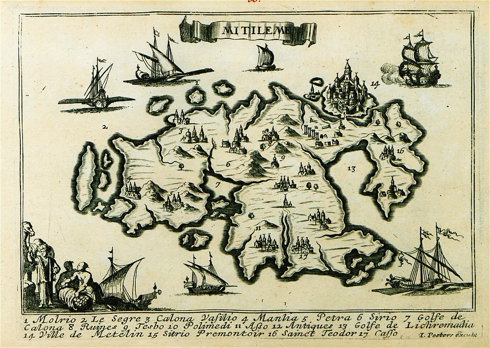
maps of lesbos
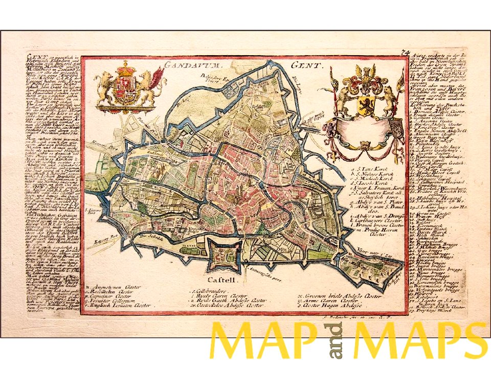
map of ghent by gabriel bodenehr
reichenau island
1627 maps
charts and maps of the royal museums greenwich
1682 maps
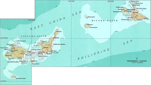
national atlas maps of occupied ryukyu islands
maps of sakishima islands
charts and maps of the royal museums greenwich
1625 maps
charts and maps of the royal museums greenwich
1625 maps
old maps of freiburg im breisgau
maps by matthäus seutter
maps of the bosphorus
old maps of turkey
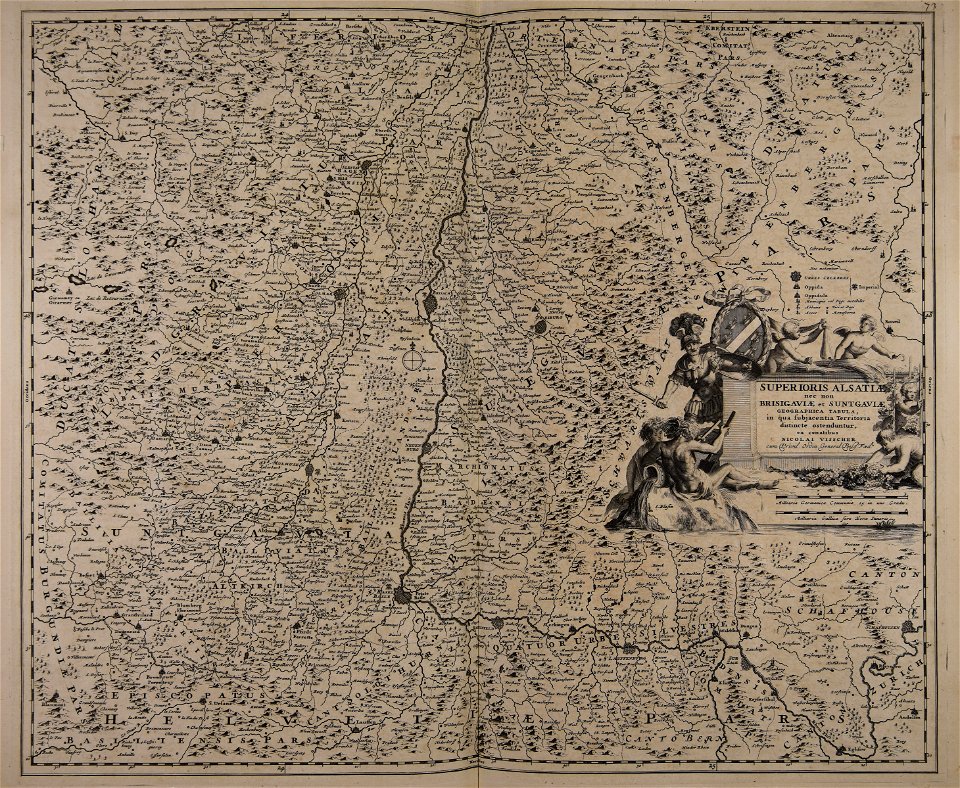
maps made in the 17th century
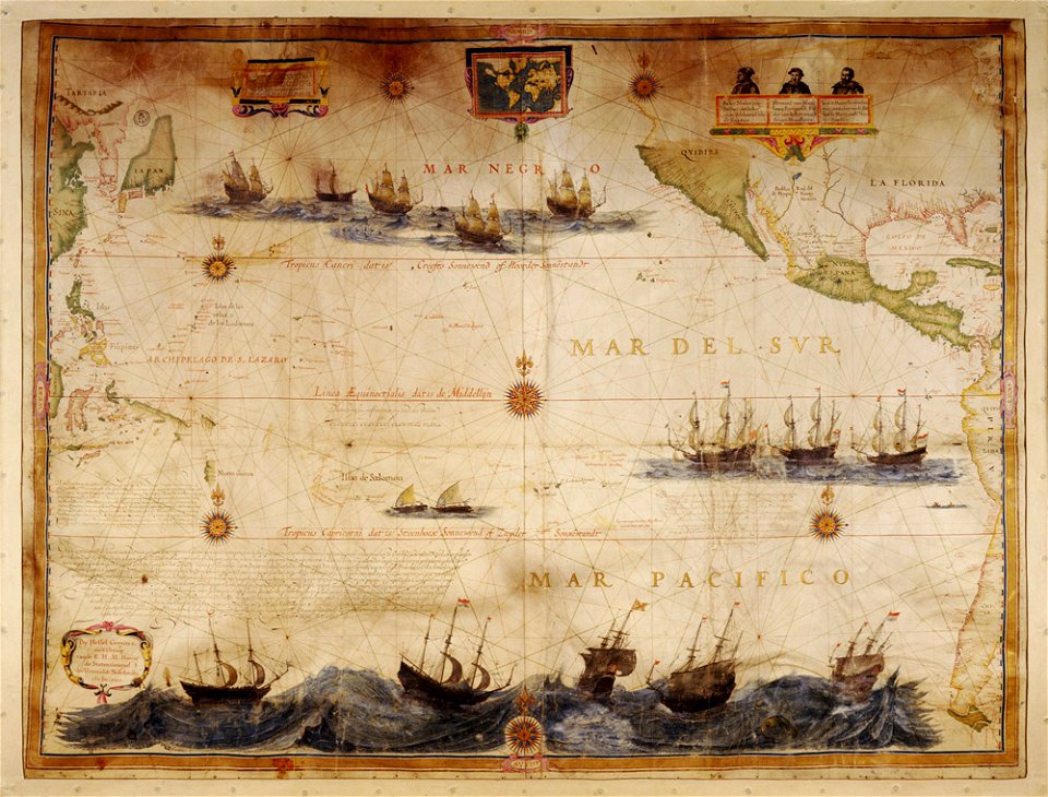
ships on maps
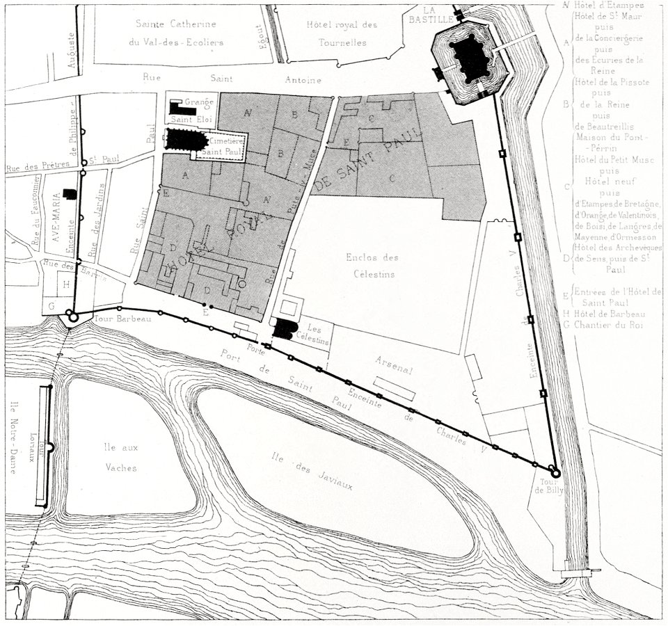
quartier de l'arsenal
bastille
illustration
maps
maximilien de béthune
duc de sully
maps by sebastian münster
old maps of slovakia
maps with cartouches
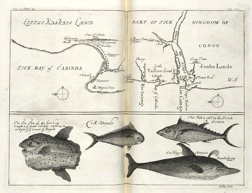
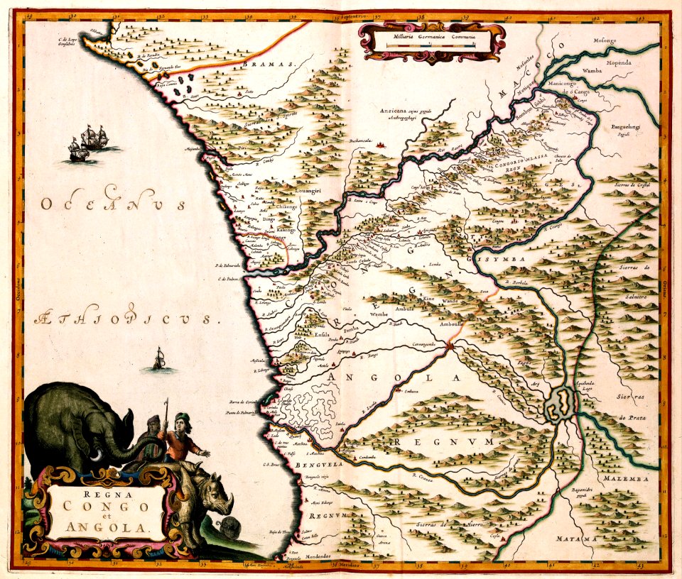
old maps of angola
maps and topographical views by joris hoefnagel
braun & hogenberg
maps made in the 17th century
gerard valck
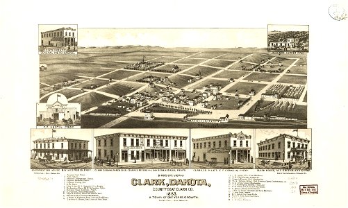
south dakota
clark
parklandschaft klein-glienicke
königstraße (berlin-wannsee)
gerard valck
england
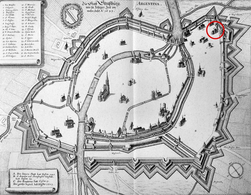
église sainte-aurélie
strasbourg
maps in the library of congress
1862 maps
maps made in the 17th century
gerard valck
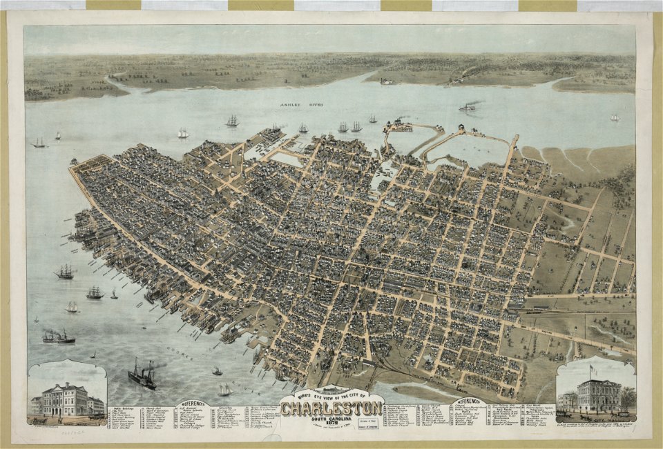
south carolina
charleston
cornell university library
puritan
maps with cartouches
atlas van der hagen
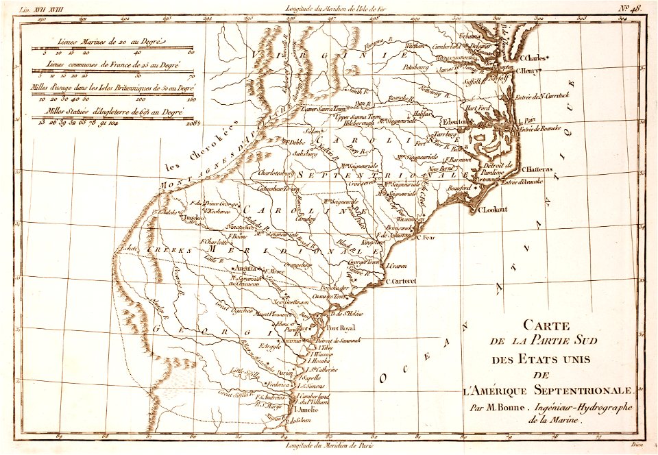
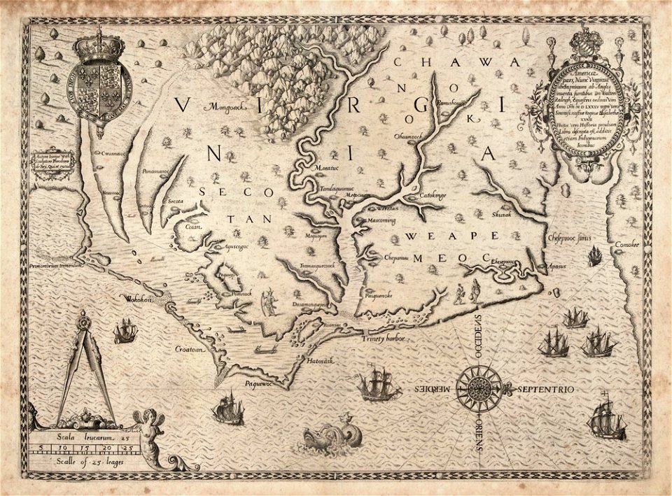
18th-century maps of north carolina
1780 maps
maps in the library of congress
1861 maps
munich in the 19th century
old city maps of munich
maps made in the 17th century
gerard valck
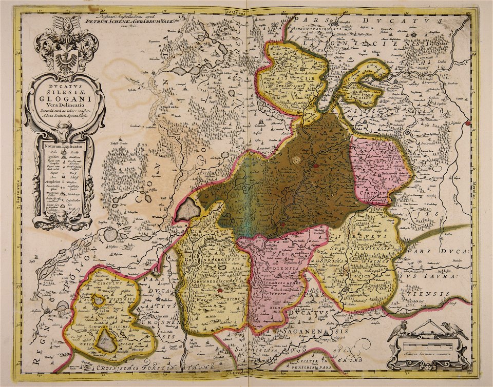
old maps of silesia
gerard valck
fonds ancely - bibliothèque municipale de toulouse - maps
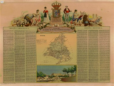
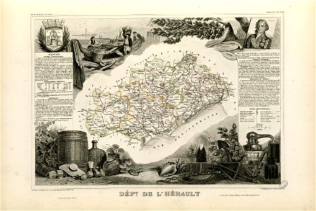
victor levasseur - maps of france
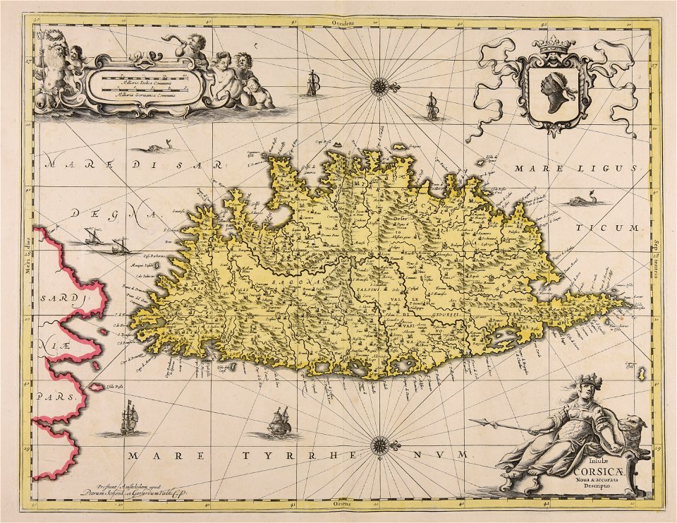
old maps of corsica
pasquale paoli
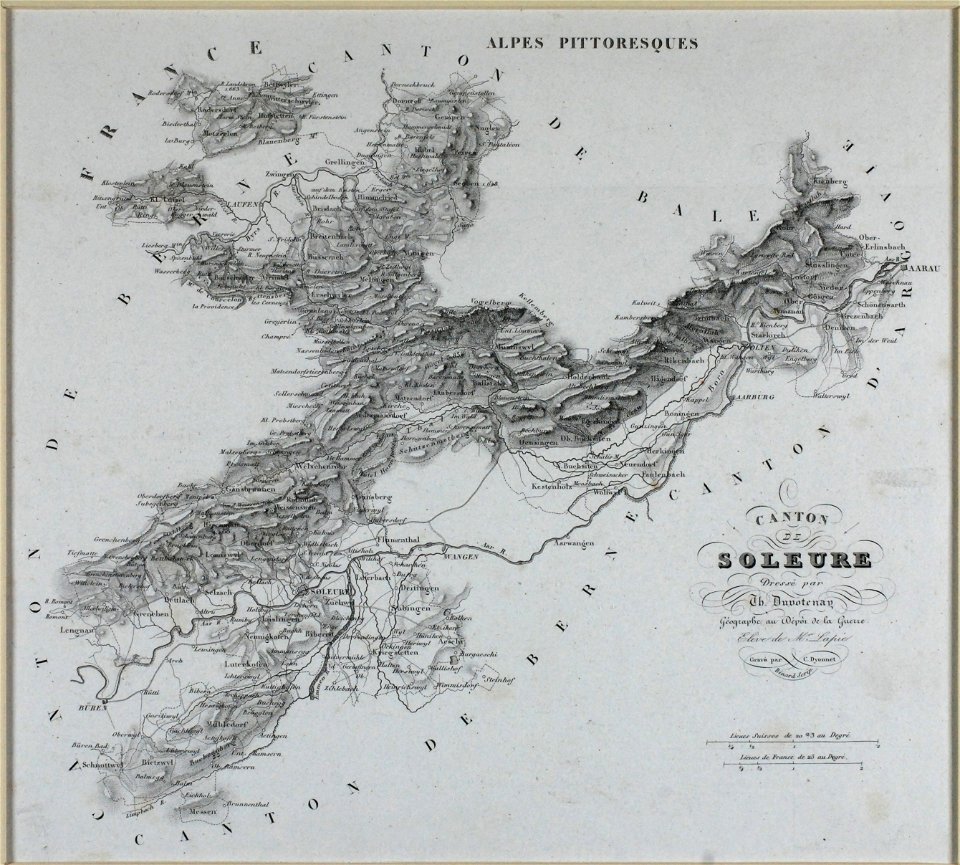
old maps of switzerland
1837 maps
maps made in the 17th century
jan janssonius
17th-century maps of france
maps with cartouches
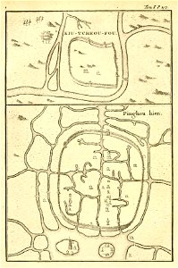
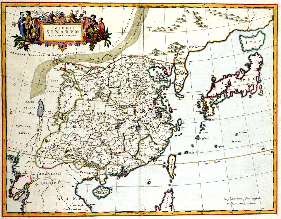
french-language maps of china
old maps of zhejiang
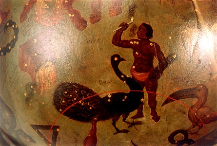
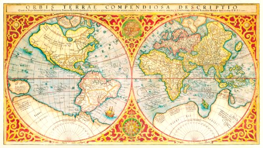
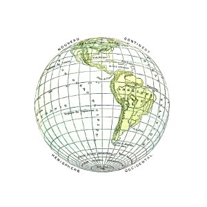
earth
maps
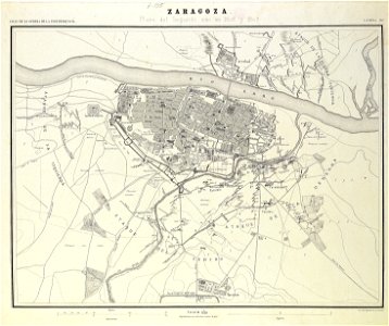
second siege of zaragoza
1868
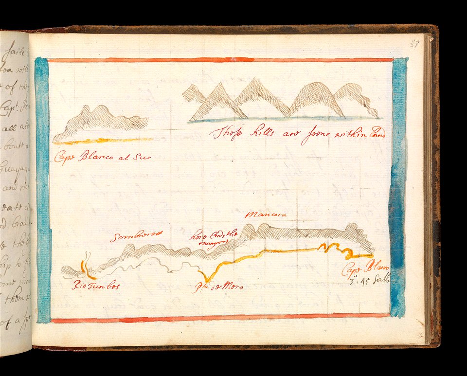
cornell: persuasive cartography: the pj mode collection
cornell university library
maps made in the 17th century
maps by nicolaes visscher i
north carolina
core
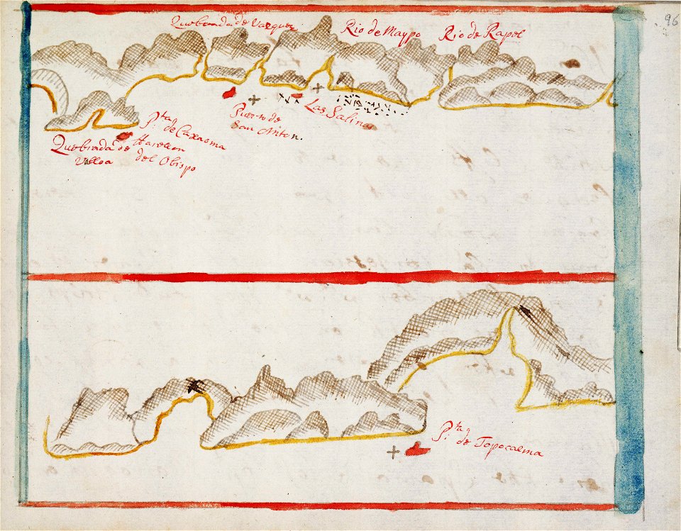
old maps of japan
old maps of china
4301 - 4400 of 38,713
Next page
/ 388