Log in
All resources
Create a design
38,713 Free Artworks of Maps
maps in the library of congress
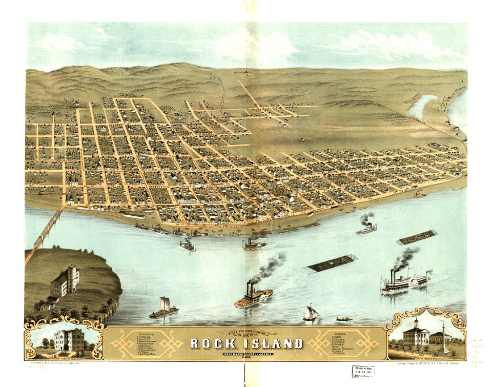
albert ruger
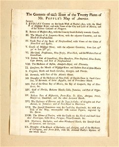
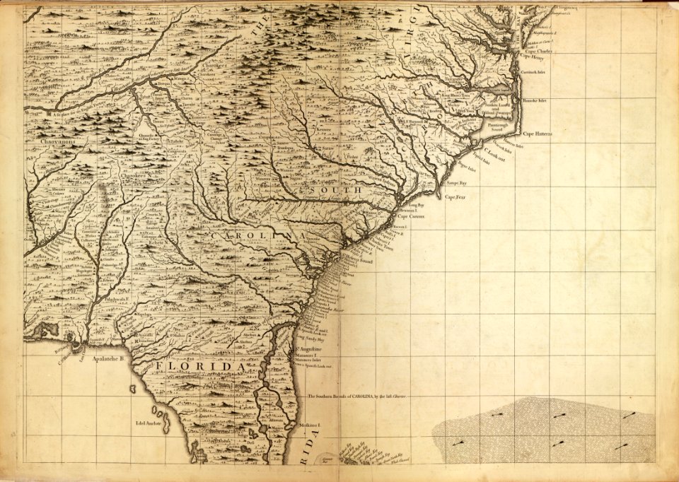
a map of the british empire in america with the french and spanish settlements adjacent thereto
1869 maps
new york
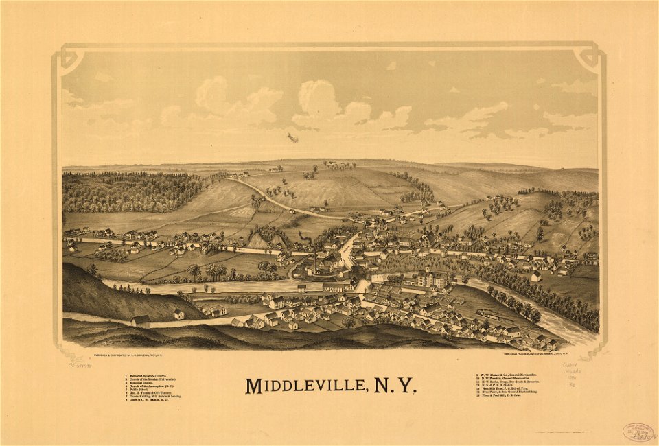
town maps by l. r. burleigh
l. r. burleigh
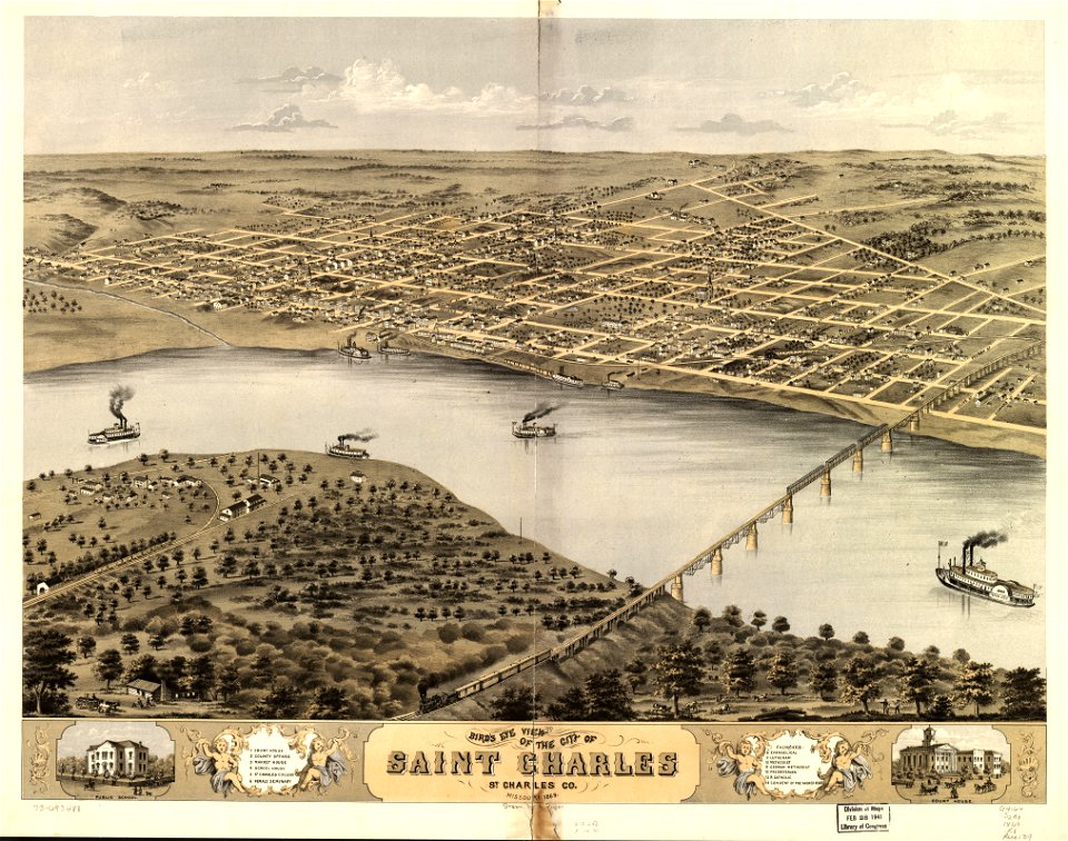
old maps of missouri
maps from the mechanical curator collection
description de l'universe
description de l'universe
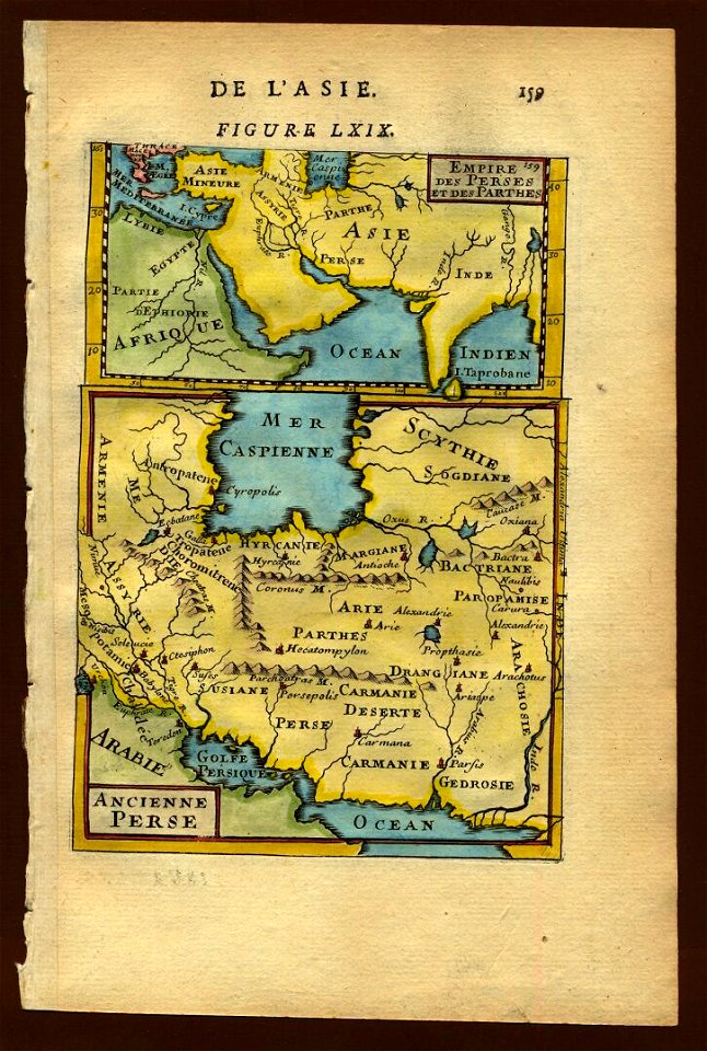
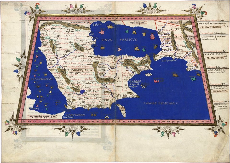
1683 maps of iran
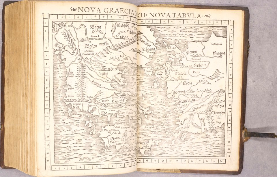
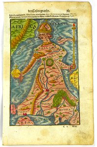
cosmographia (1600) by sebastian münster
old maps of friesland
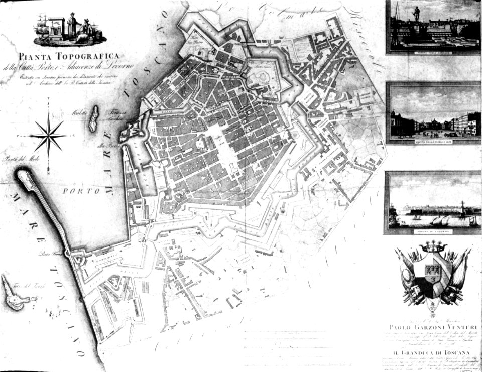
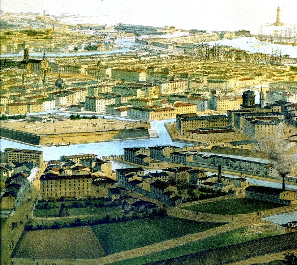
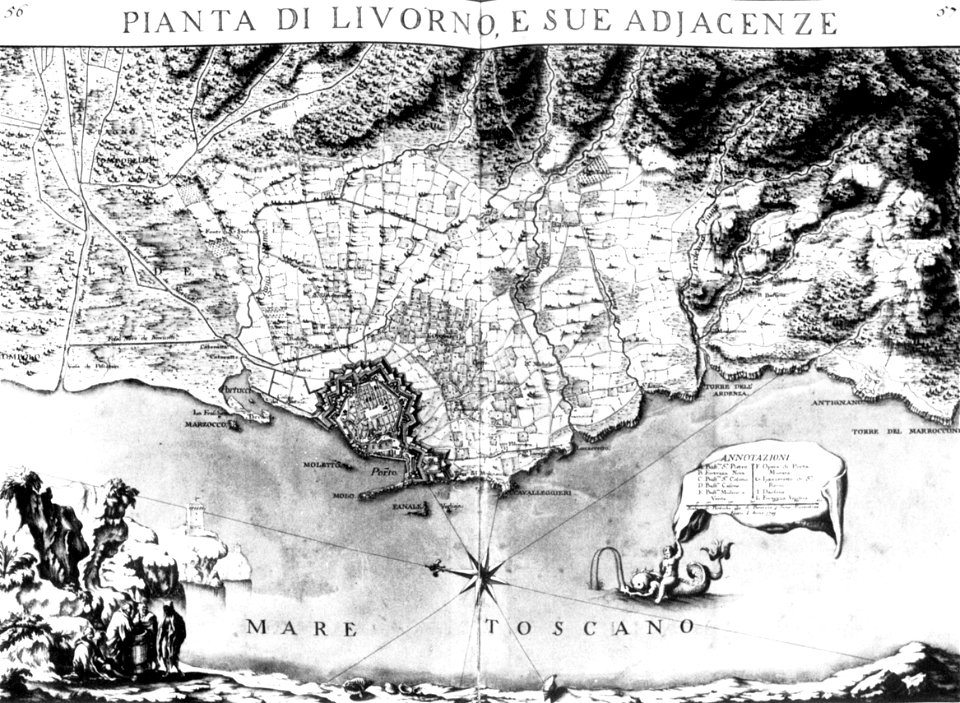
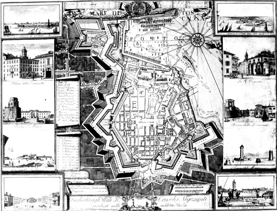
old maps of livorno
old maps of livorno
livorno
old maps of livorno
old maps of livorno
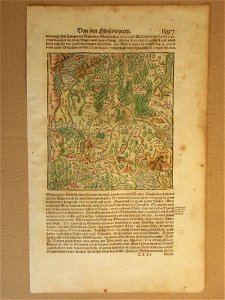
maps of germania magna
details of old maps
description de l'universe
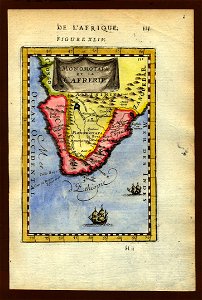
1719 maps of africa
description de l'universe
1683 maps of africa
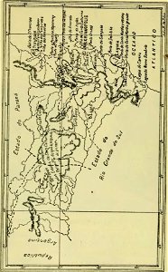
old maps of santa catarina
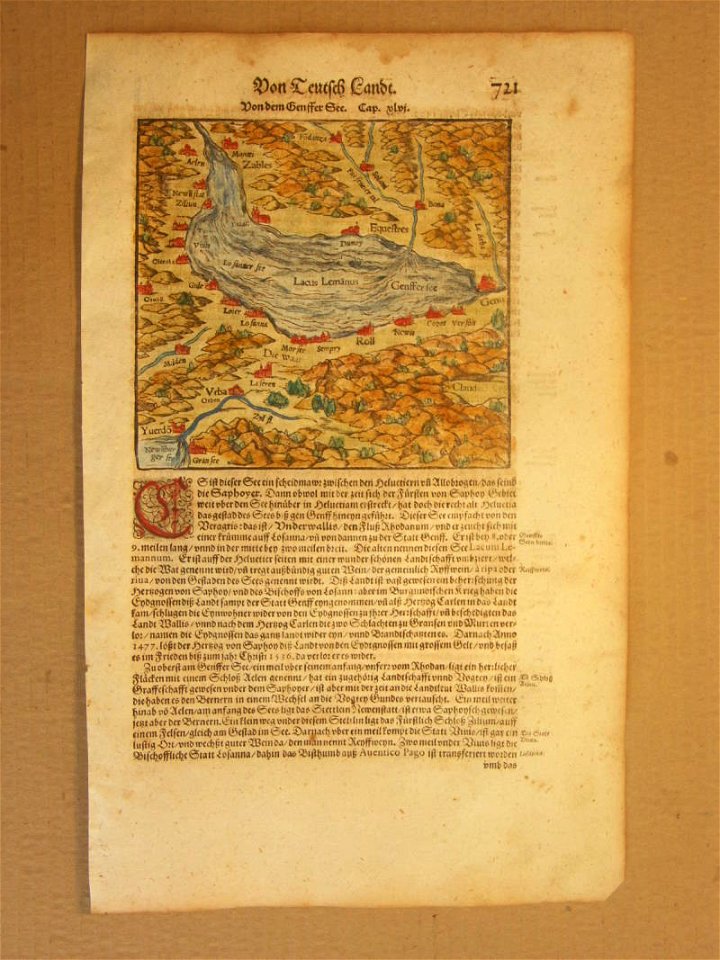
cosmographia (1600) by sebastian münster
old maps of moscow
cosmographia (1600) by sebastian münster
old map
cosmographia (1600) by sebastian münster
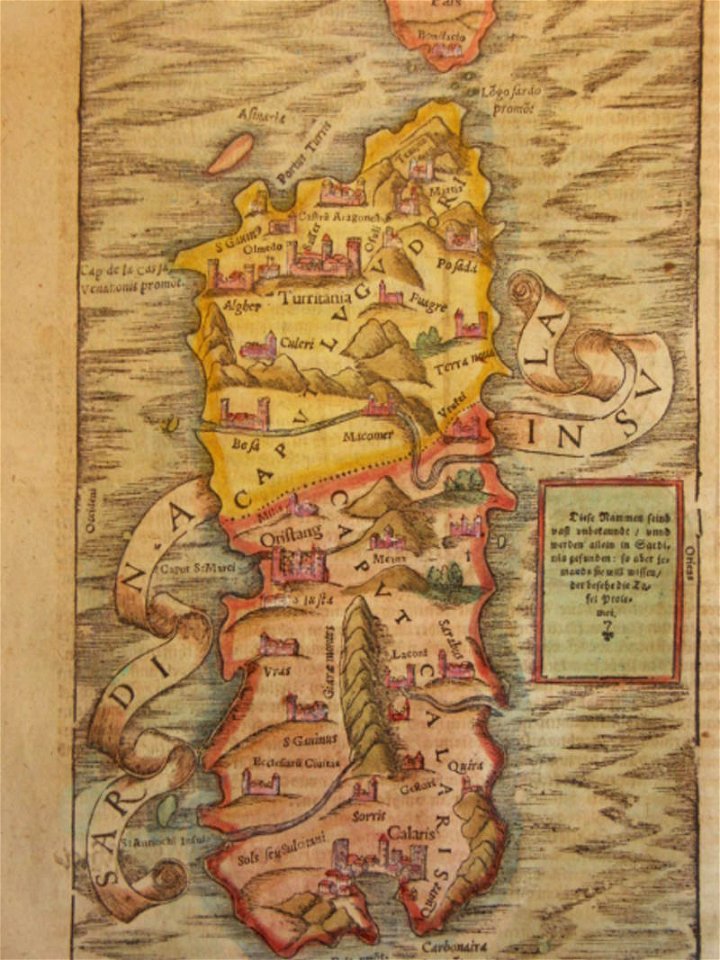
old maps of sardinia
description de l'universe
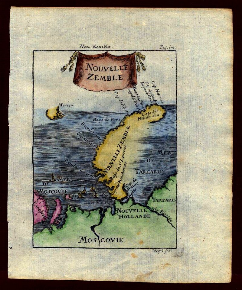
maps of novaya zemlya
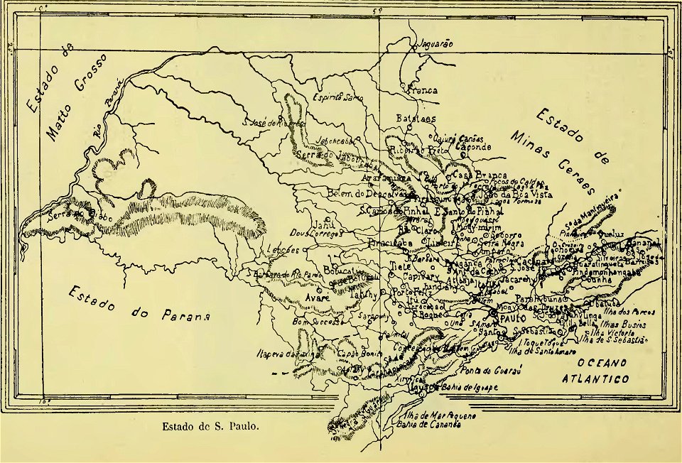
old maps of são paulo
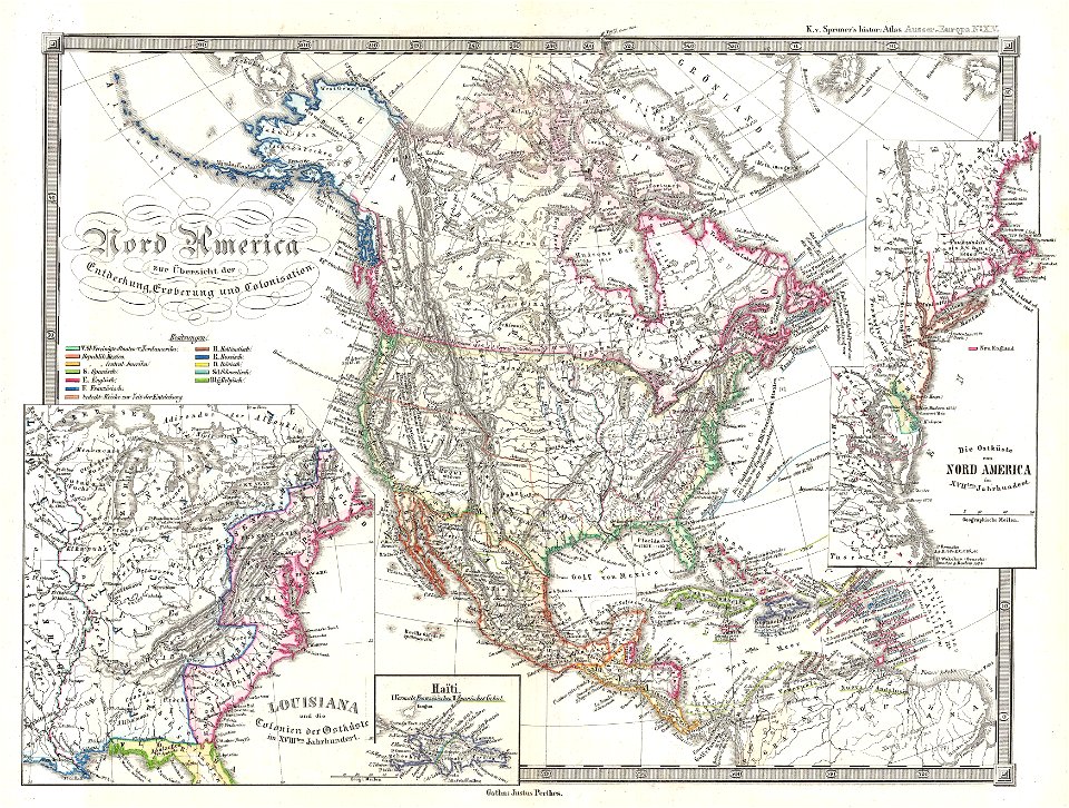
david rumsey historical map collection
fur garments in art
new york
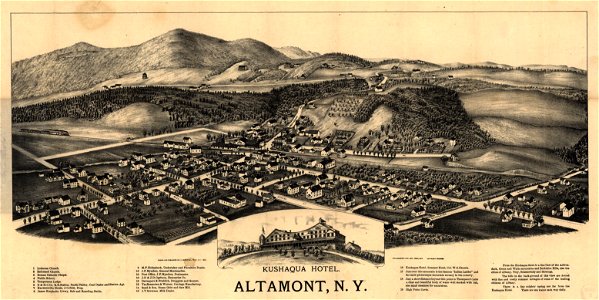
altamont
maps in the library of congress
albert ruger
maps in the library of congress
1867 maps
maps in the library of congress
albert ruger
maps in the library of congress
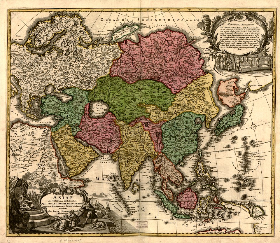
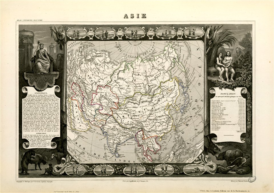
old maps of asia
victor levasseur - maps of the world
old maps of asia
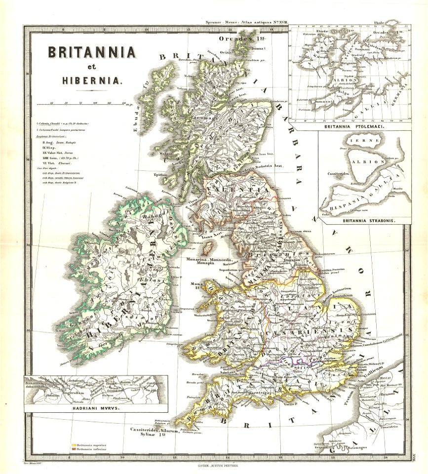
old maps of the british isles
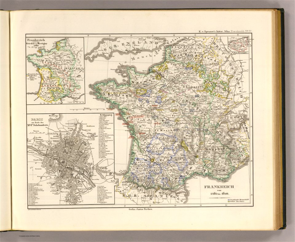
karl spruner von merz
maps in the library of congress
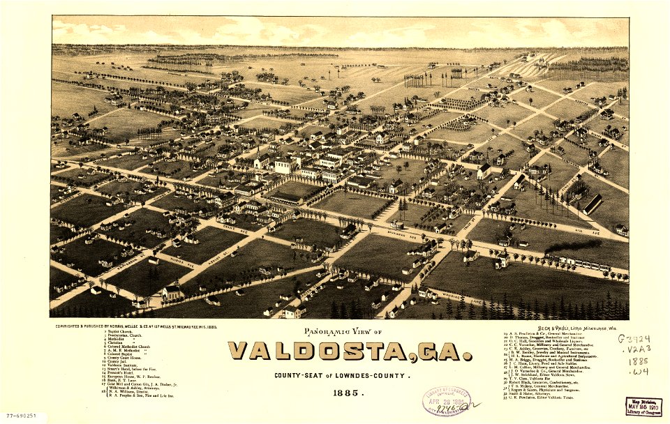
georgia
maps by thomas jefferys
old maps of florida
maps made in the 17th century
maps by nicolaes visscher i
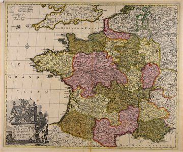
old maps of france
maps of reims
old maps of new brunswick
old maps of virginia
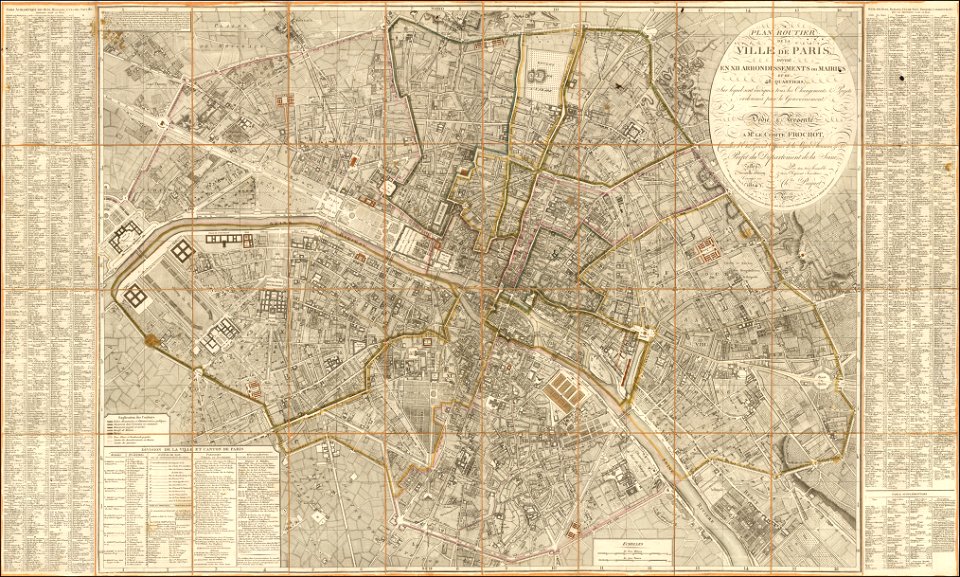
maps of paris from the barry lawrence ruderman antique maps inc.
1814 in paris
maps in the library of congress
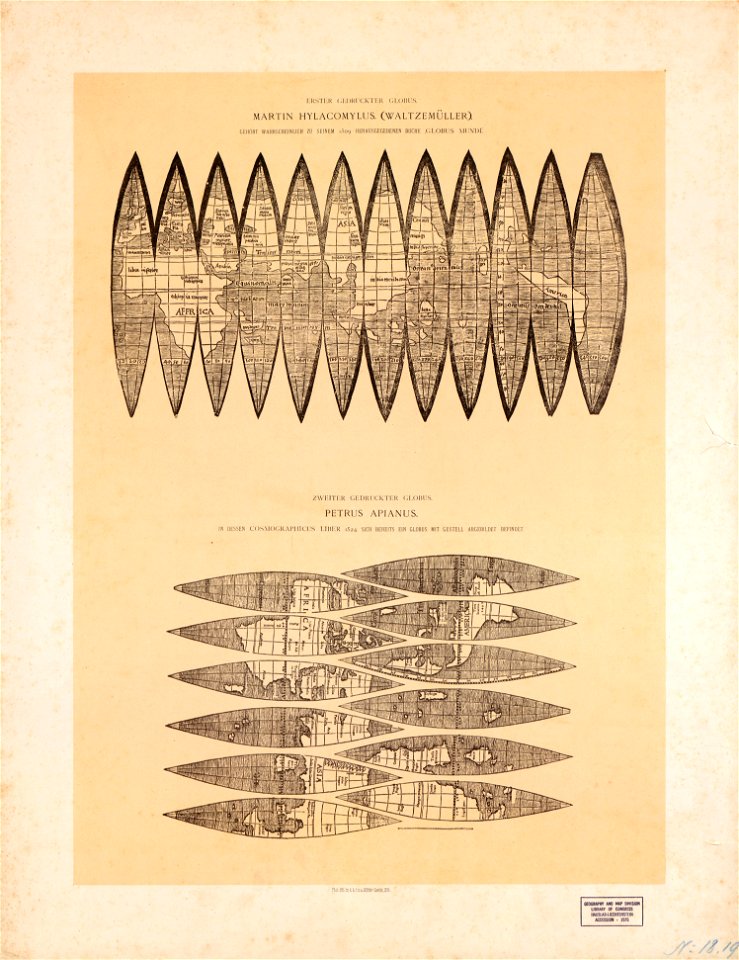
maps by martin waldseemüller
symbol
maps
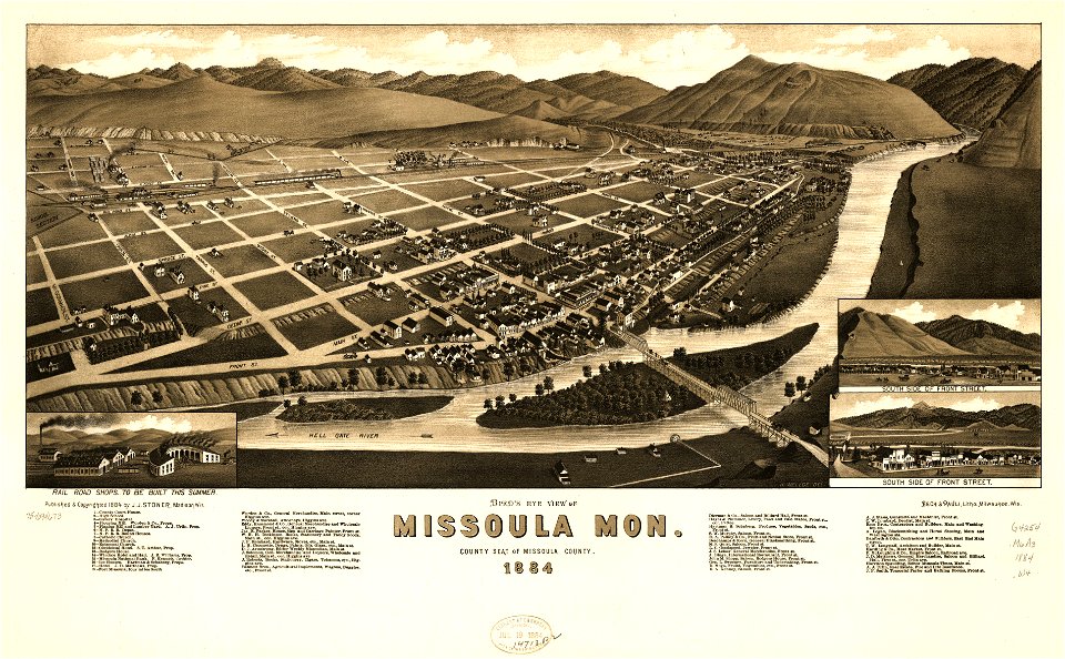
missoula
montana
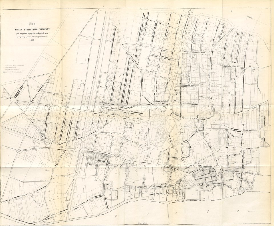
historical maps of warsaw
1862 maps
illustrated battles of the nineteenth century
1895 drawings
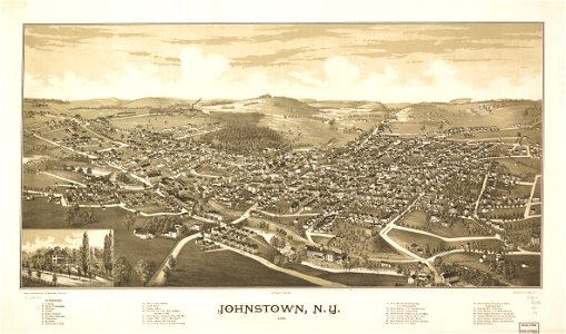
johnstown
new york
maps in the library of congress
georgia
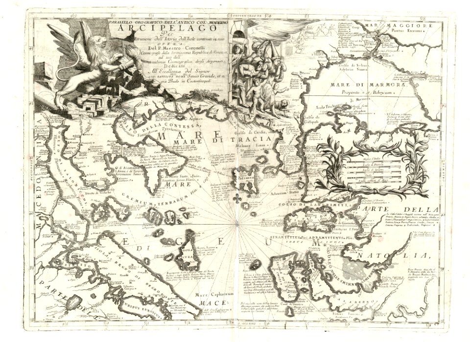
maps of the sea of marmara
vincenzo coronelli
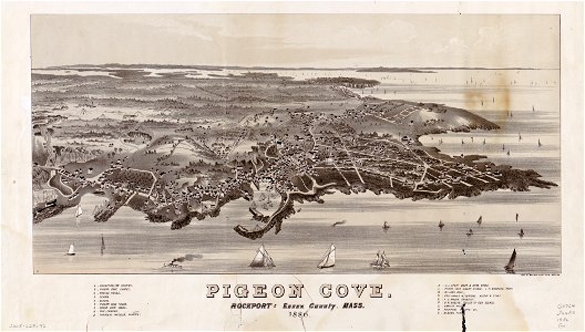
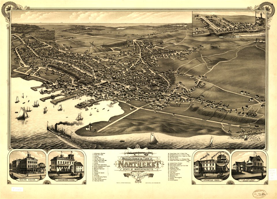
massachusetts
pigeon cove
massachusetts
pigeon cove
maps in the library of congress
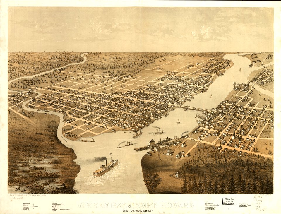
1867 maps
maps in the library of congress
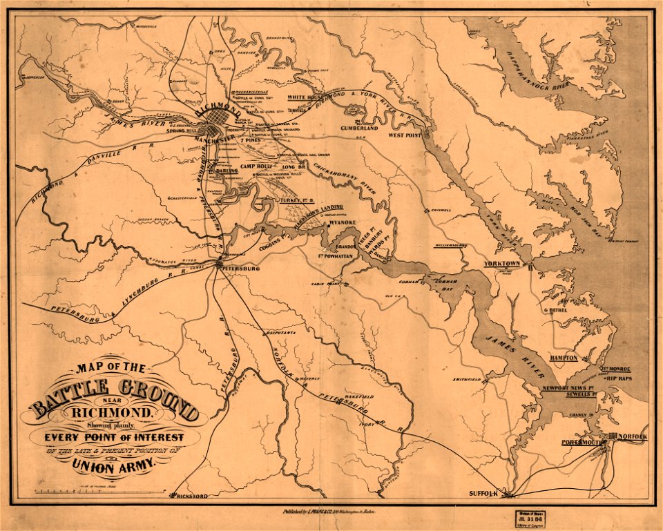
1862 maps of virginia
charts and maps of the royal museums greenwich
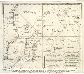
old maps of ecuador
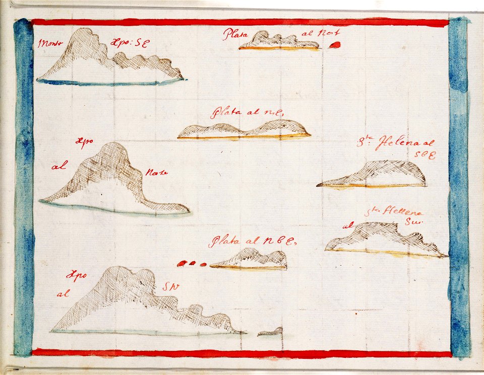
maps of the dutch east india company - madagascar
1747)
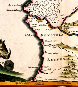
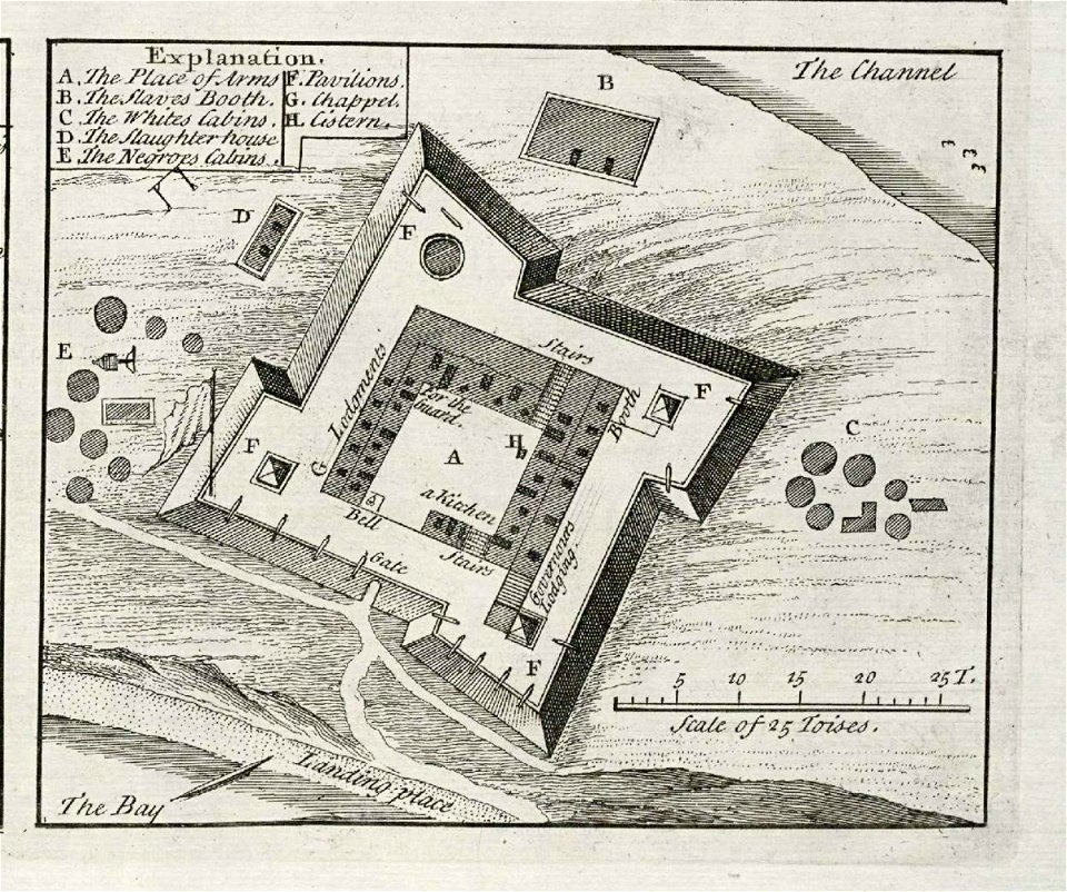
benguela
luanda
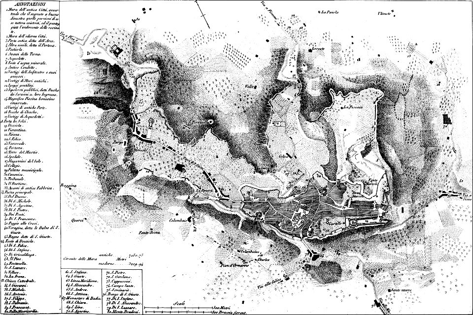
maps of archaeological sites in italy
old maps of tuscany
maps in the library of congress
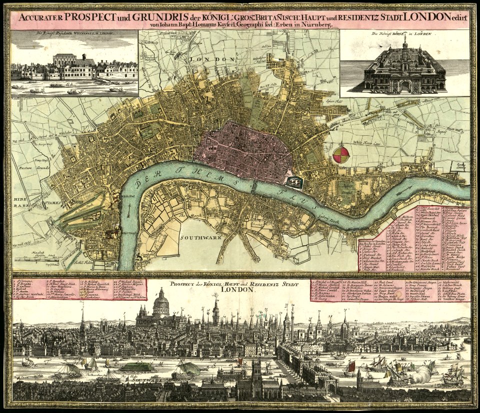
old maps of london
maps in the library of congress
old maps of london
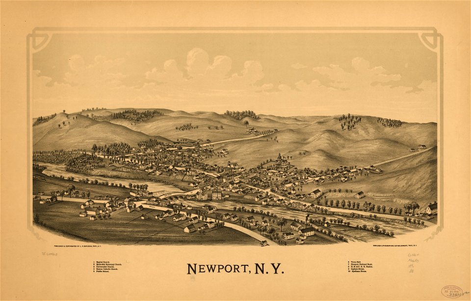
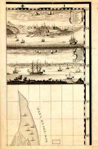
new york
newport
maps in the library of congress
new york
persian gulf naming dispute
latin-language maps
david rumsey historical map collection – derivative files
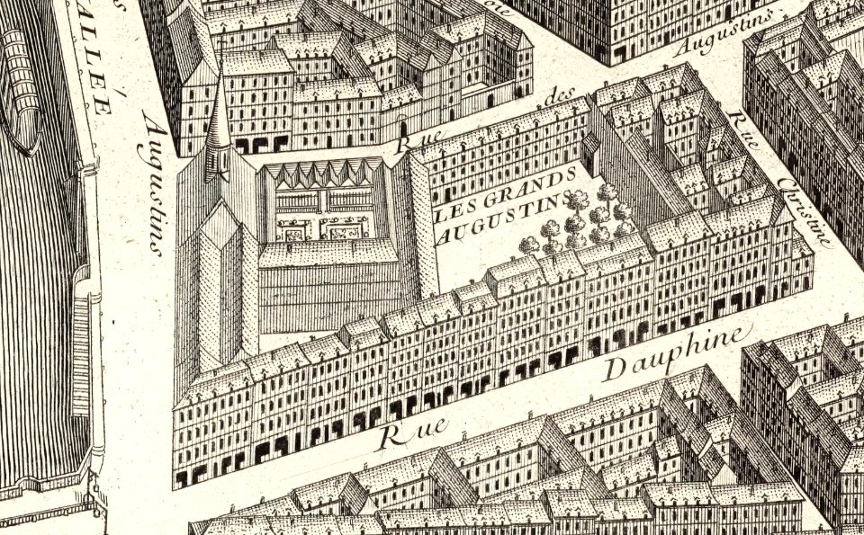
turgot map of paris
hand-drawn maps and views of world war i battlefields by h.m.
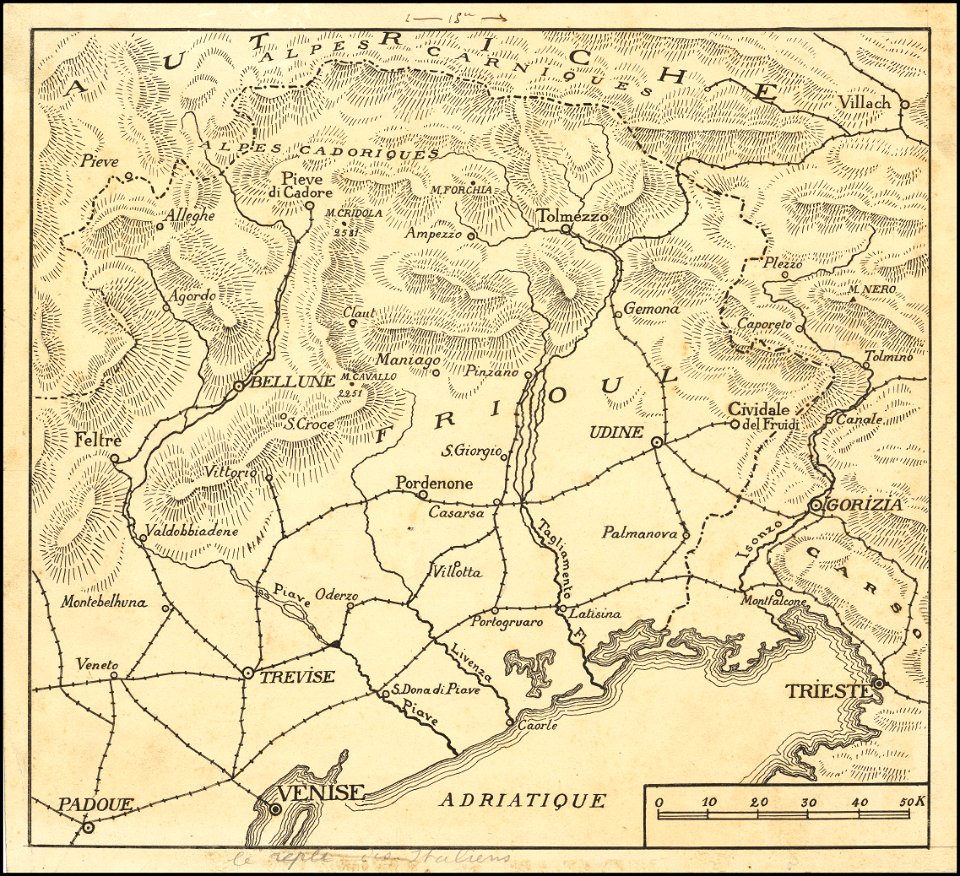
maps of world war i - italian front
maps in the library of congress
old maps of asia
karl spruner von merz
1855 maps
old maps of croatia
river drin
artwork by charles heaphy
old maps of new zealand
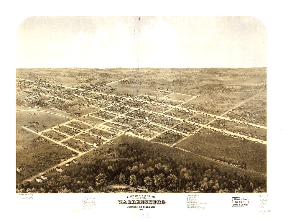
missouri
mexico
maps in the library of congress
albert ruger
maps in the library of congress
missouri
maps in the library of congress
albert ruger
maps in the library of congress
massachusetts
missoula
montana
maps in the library of congress
missouri
maps in the library of congress
massachusetts
maps in the library of congress
1867 maps
19th-century maps of africa
1865 maps
illustrated battles of the nineteenth century
1895 drawings
illustrated battles of the nineteenth century
1895 drawings
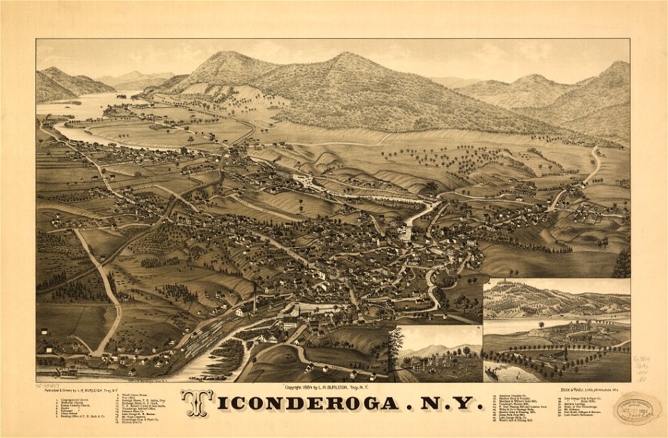
ticonderoga
new york
old maps of greece
1552
1510s maps of the world
coats of arms on maps
ogier gisleen van busbeke
1620 maps of europe
turgot map of paris – derivative files
couvent des grands-augustins
old maps of peru
peru
musée historique du sénégal
senegal
david rumsey historical map collection
19th-century maps of france
maps in the library of congress
1862 maps of virginia
allegories of the four elements
islands of california
maps in the library of congress
maps by martin waldseemüller
maps from the mechanical curator collection
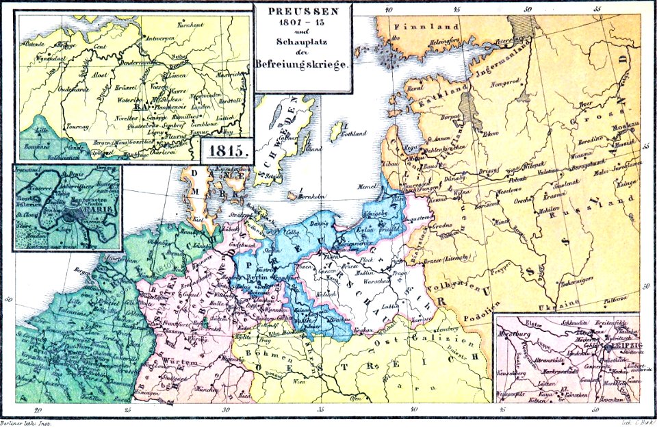
old maps of prussia
university of toronto wenceslas hollar digital collection
hollar maps and plans of london
maps made in the 17th century
gerard valck
maps made in the 17th century
maps by nicolas sanson
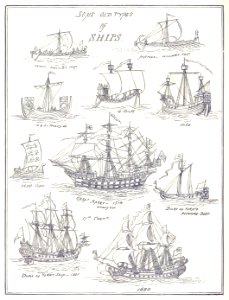
old ships
maps
files from the bodleian libraries
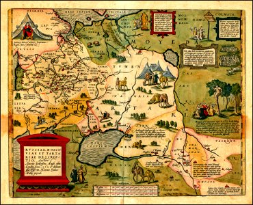
maps of tartary
illustrations of cosmographia (münster)
latin-language maps
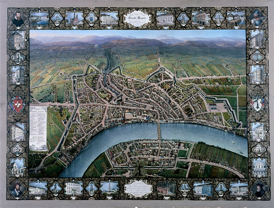
historisches museum basel
maps of basel
maps by frederick de wit
maps with cartouches
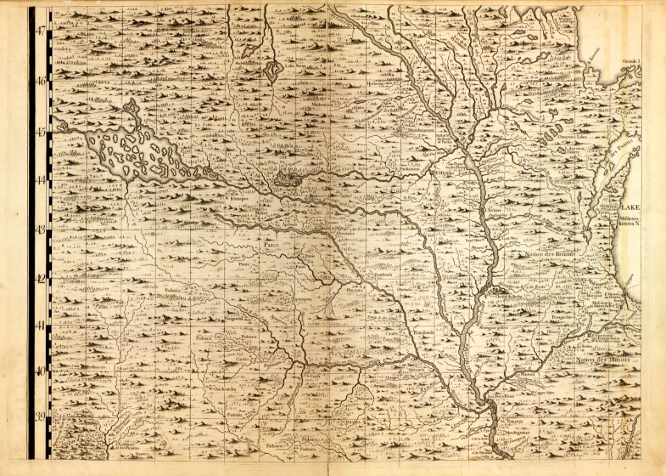
a map of the british empire in america with the french and spanish settlements adjacent thereto
maps in the library of congress
a map of the british empire in america with the french and spanish settlements adjacent thereto
maps in the library of congress
a map of the british empire in america with the french and spanish settlements adjacent thereto
maps in the library of congress
a map of the british empire in america with the french and spanish settlements adjacent thereto
maps in the library of congress
a map of the british empire in america with the french and spanish settlements adjacent thereto
maps in the library of congress
a map of the british empire in america with the french and spanish settlements adjacent thereto
maps in the library of congress
a map of the british empire in america with the french and spanish settlements adjacent thereto
maps in the library of congress
a map of the british empire in america with the french and spanish settlements adjacent thereto
maps in the library of congress
a map of the british empire in america with the french and spanish settlements adjacent thereto
maps in the library of congress
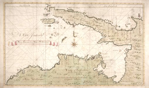
new holland (australia)
1720s
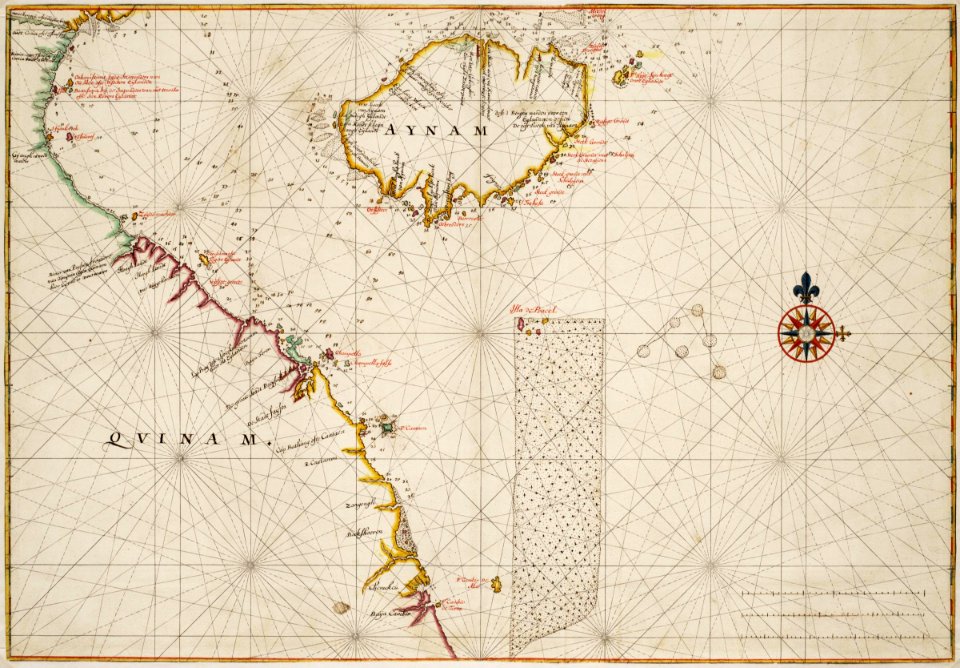
trịnh lords
1665
old maps of the hague
siege of leiden
3401 - 3500 of 38,713
Next page
/ 388