Log in
All resources
Create a design
38,713 Free Artworks of Maps
maps in the library of congress
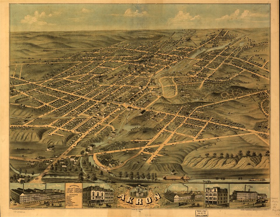
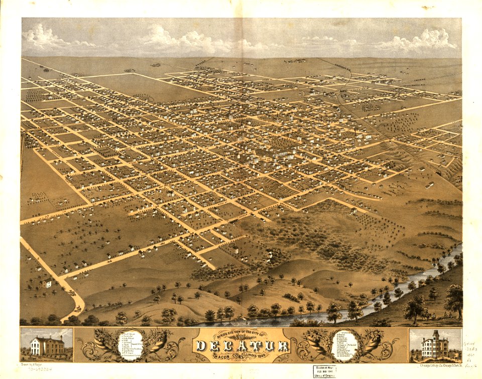
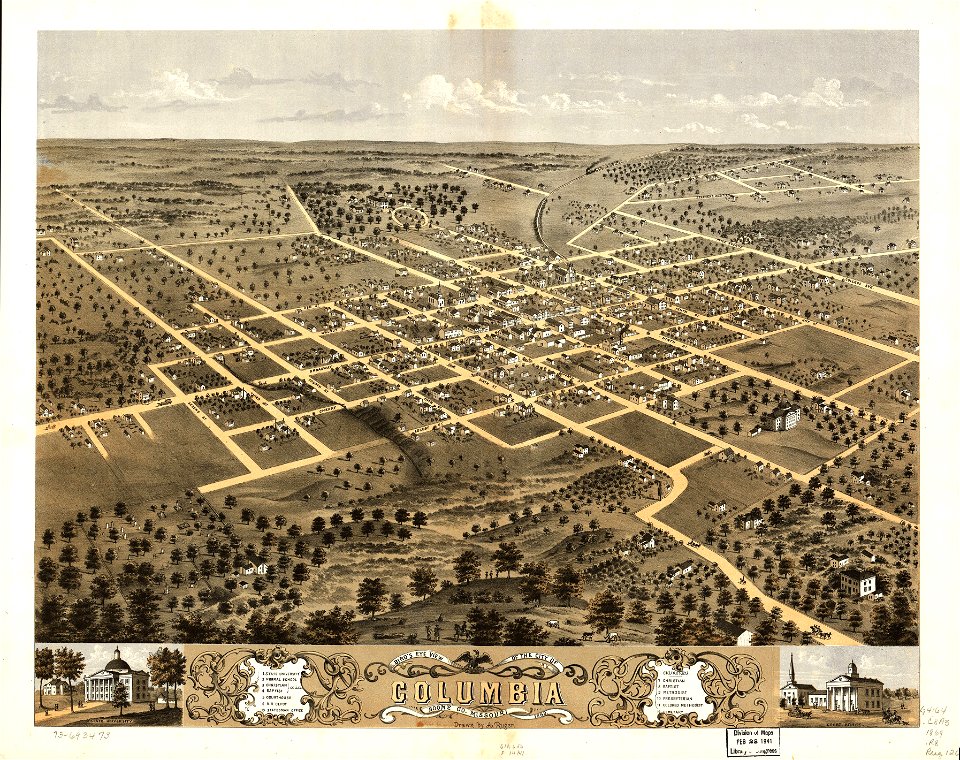
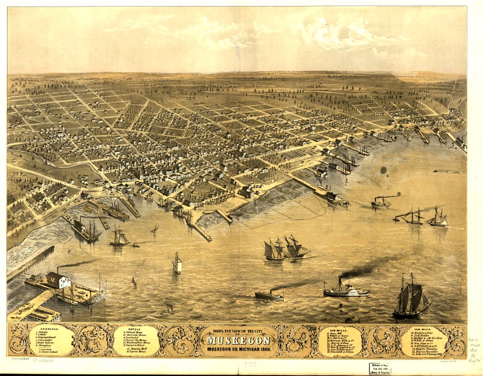
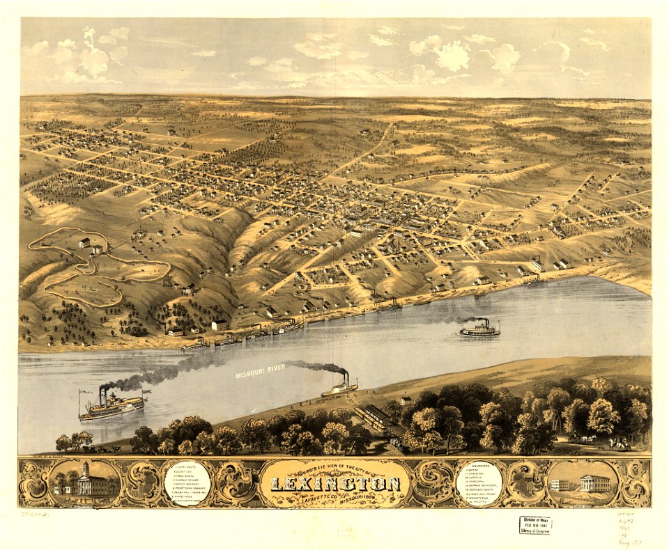
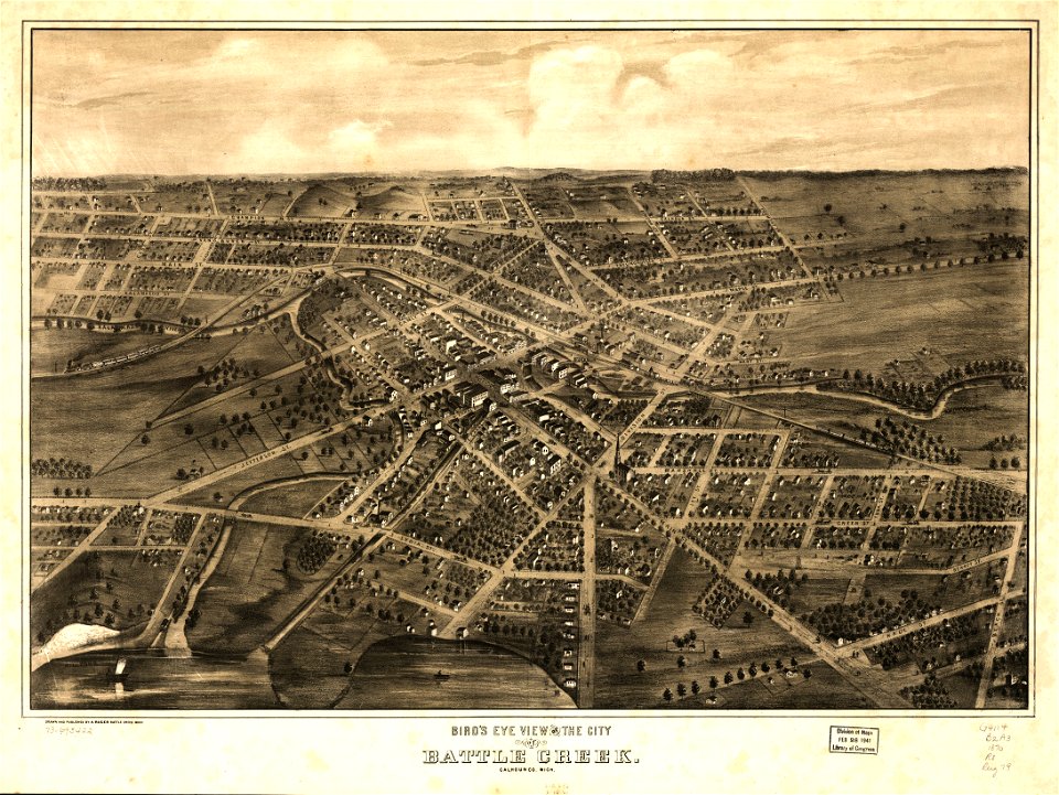
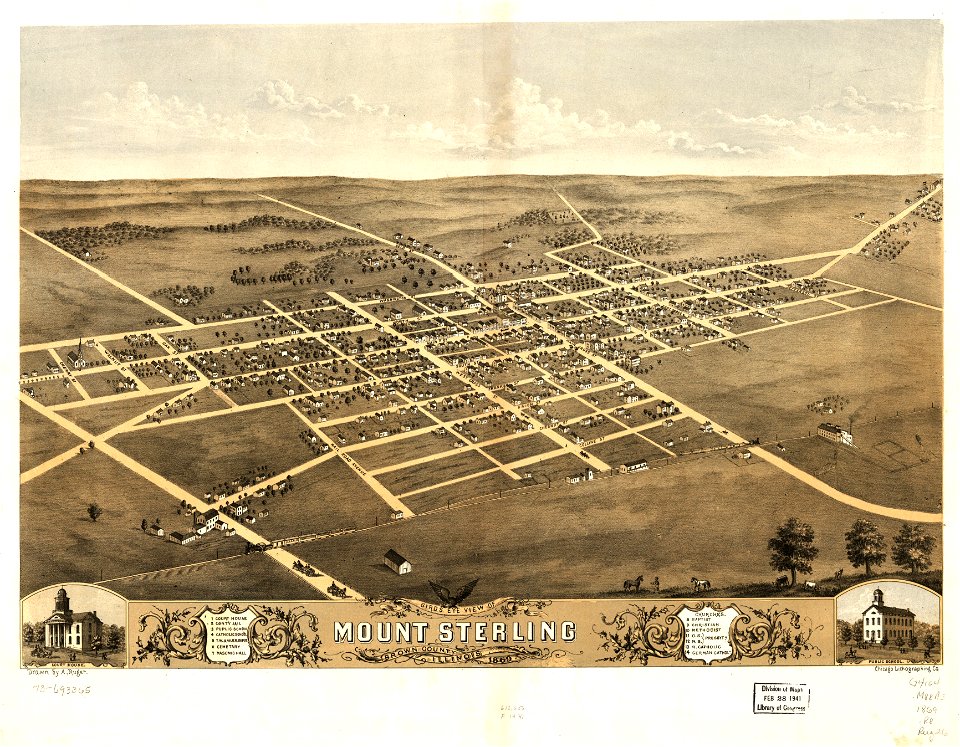
albert ruger
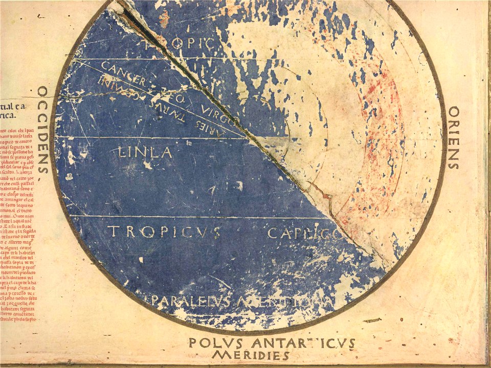
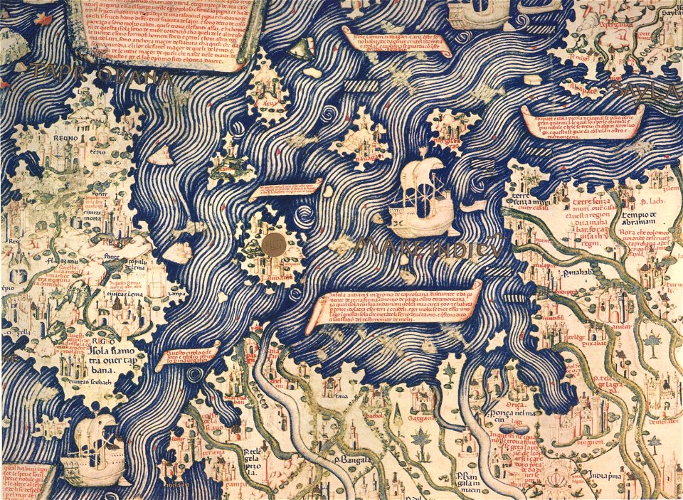
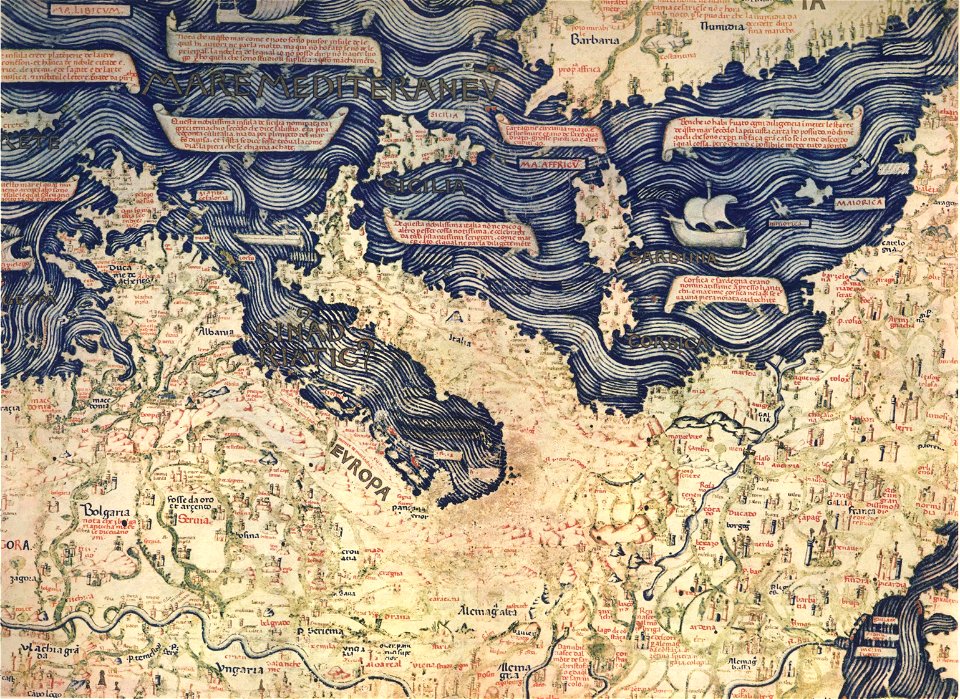
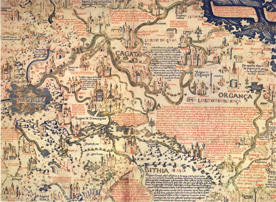
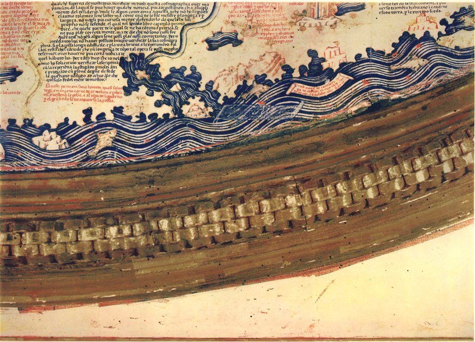
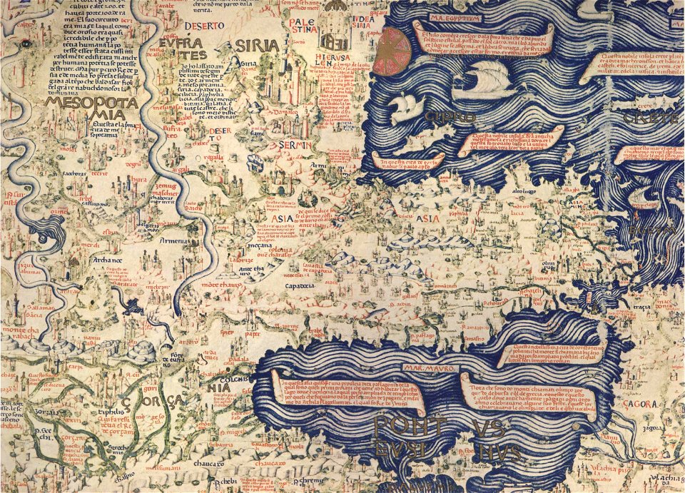
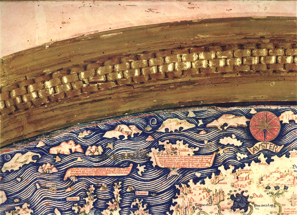
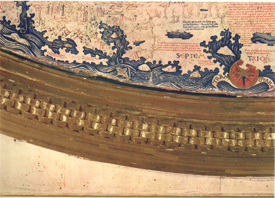
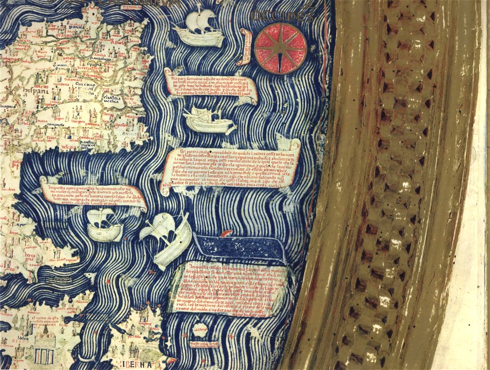
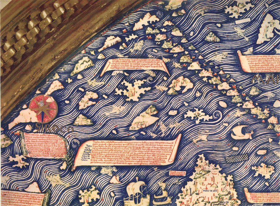
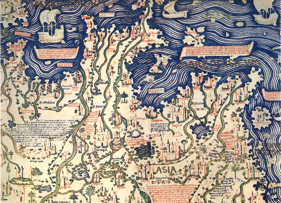
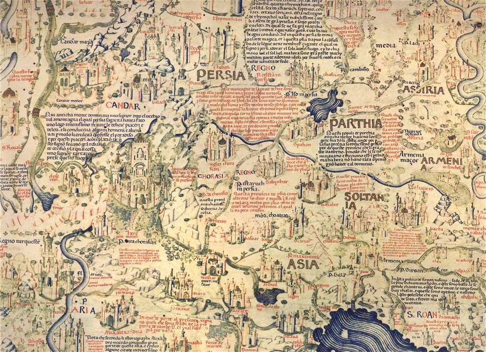
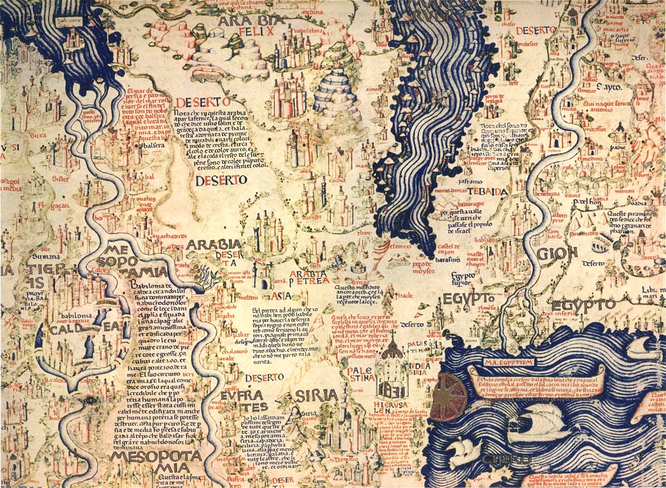
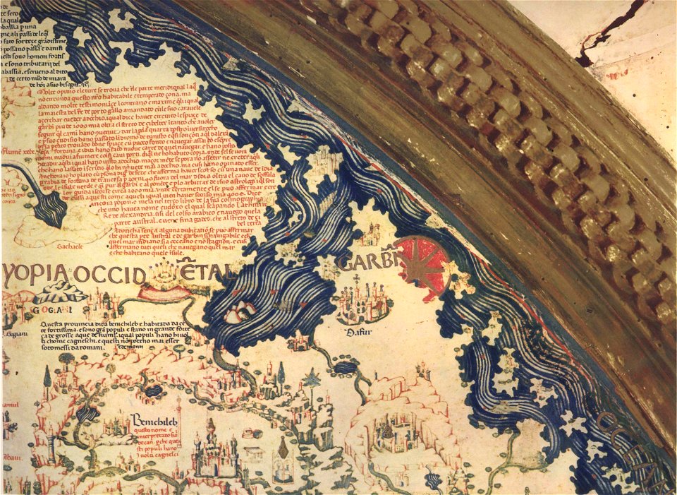
fra mauro map by sector
1869 maps
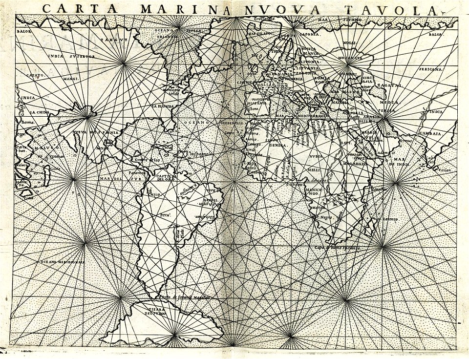
maps made in the 17th century
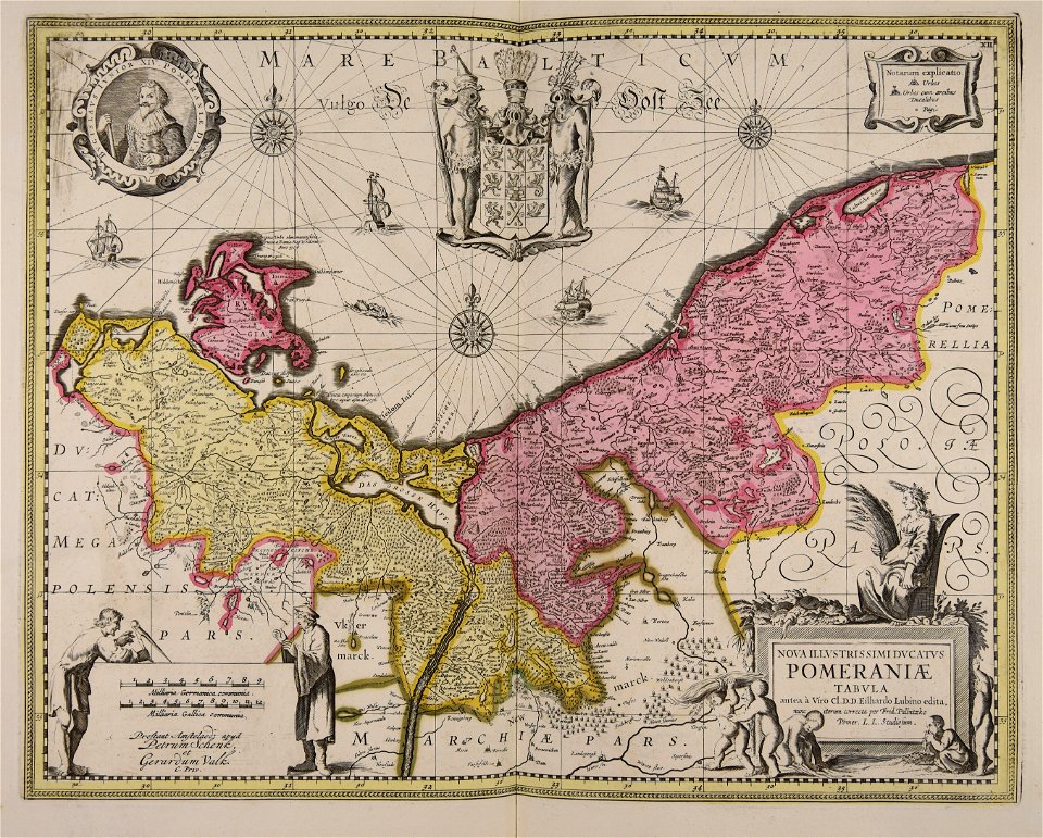
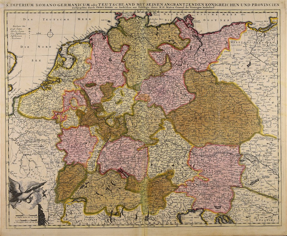
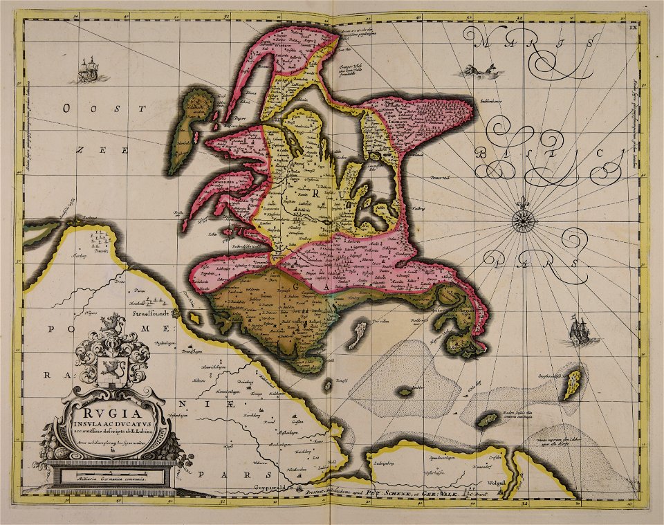
maps by pieter schenk (i)
gerard valck
atlantis magni tomus tertius (biblioteca comunale di trento)
old maps of missouri
old maps of michigan
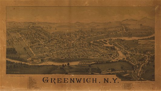
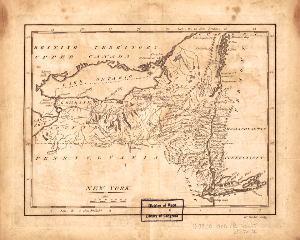
new york
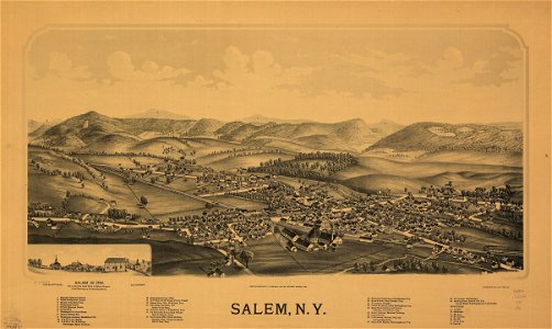
salem
new york
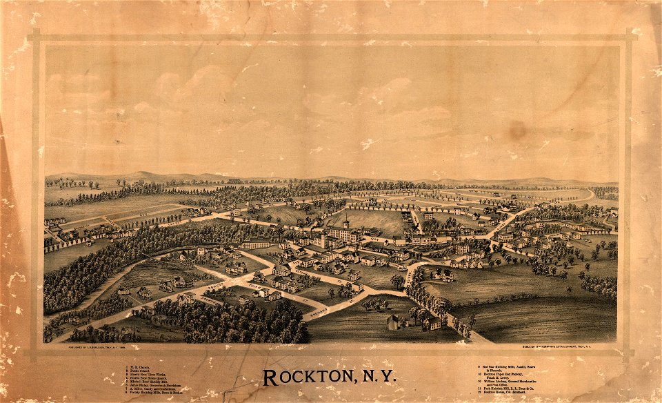
rockton
maps in the library of congress
new jersey
new york
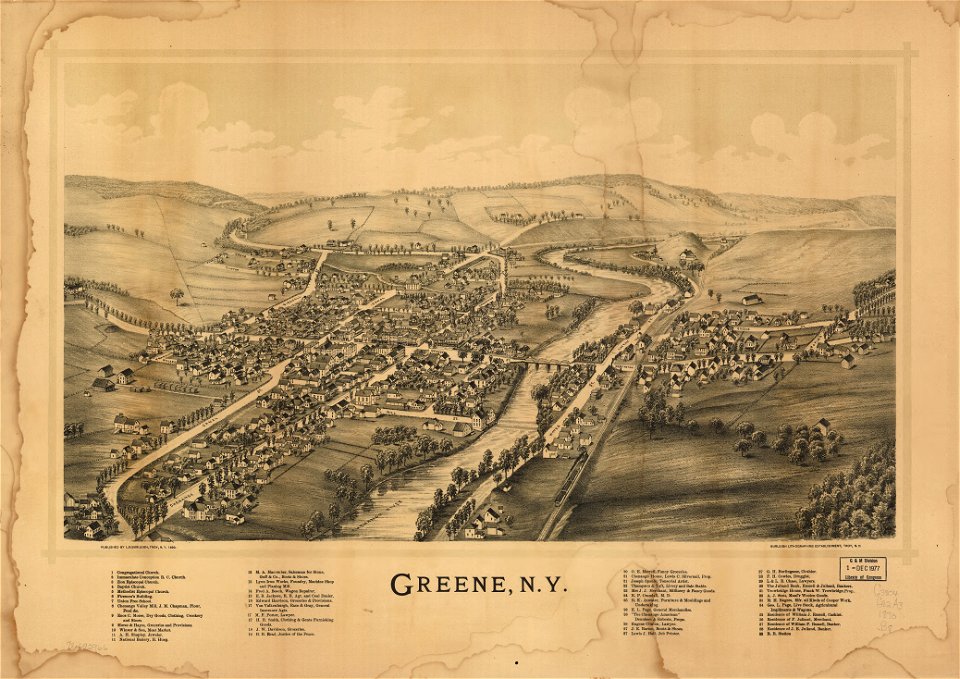
green
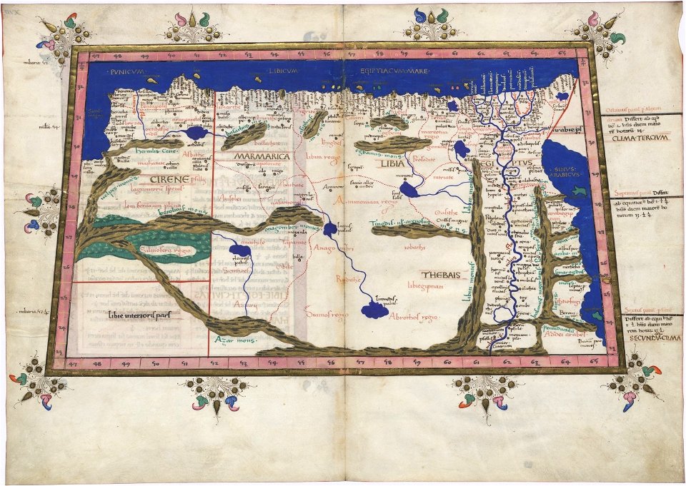
ptolemaic world maps
latin-language maps
maps made in the 17th century
gerard valck
maps made in the 17th century
gerard valck
maps made in the 17th century
maps by nicolaes visscher i
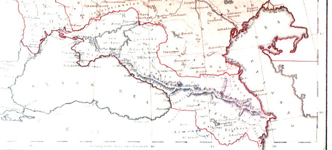
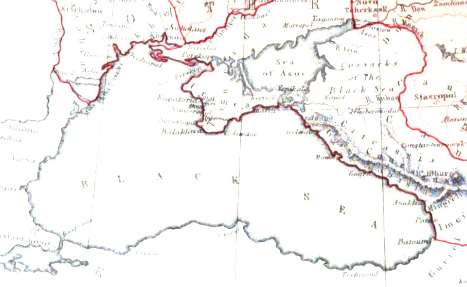
19th-century maps of the caucasus
1856 maps
maps made in the 17th century
gerard valck
maps made in the 18th century
old maps of europe
maps made in the 17th century
gerard valck
illustration
maps
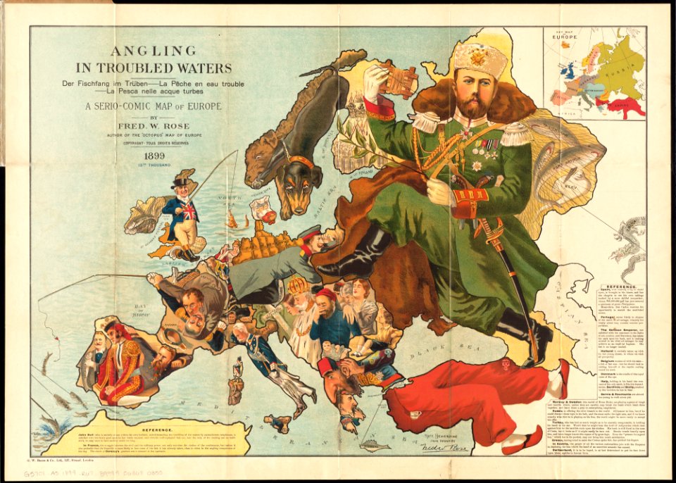
old maps showing history of europe
1899 maps
pictorial history of the russian war 1854-5-6 by george dodd
maps of circassia
maps made in the 17th century
gerard valck
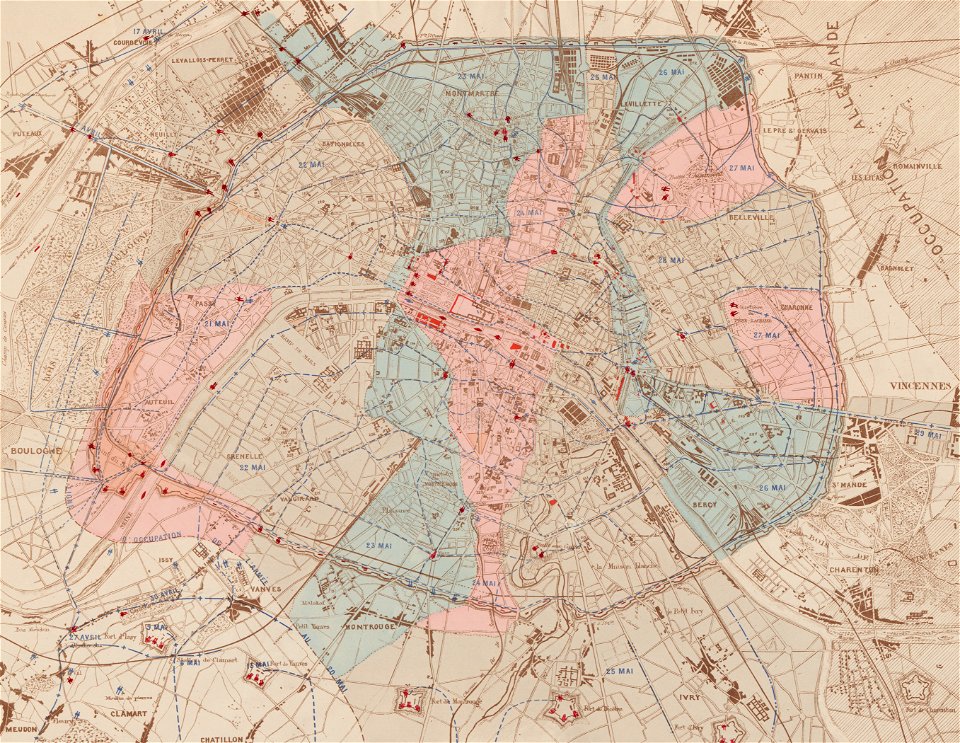
maps of paris in the 1870s
1871 in paris
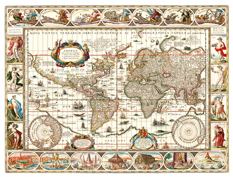
maps by willem and johannes blaeu
jodocus hondius
maps with cartouches
maps of reims
old maps of the saint lawrence river
old maps of new england
maps made in the 17th century
gerard valck
maps from the mechanical curator collection
william peel (royal navy officer)
maps made in the 17th century
gerard valck
morro castle (havana)
london
innere stadt
vienna
connecticut
cheshire
maps in the library of congress
new york
karl spruner von merz
old maps of italy
maps in the library of congress
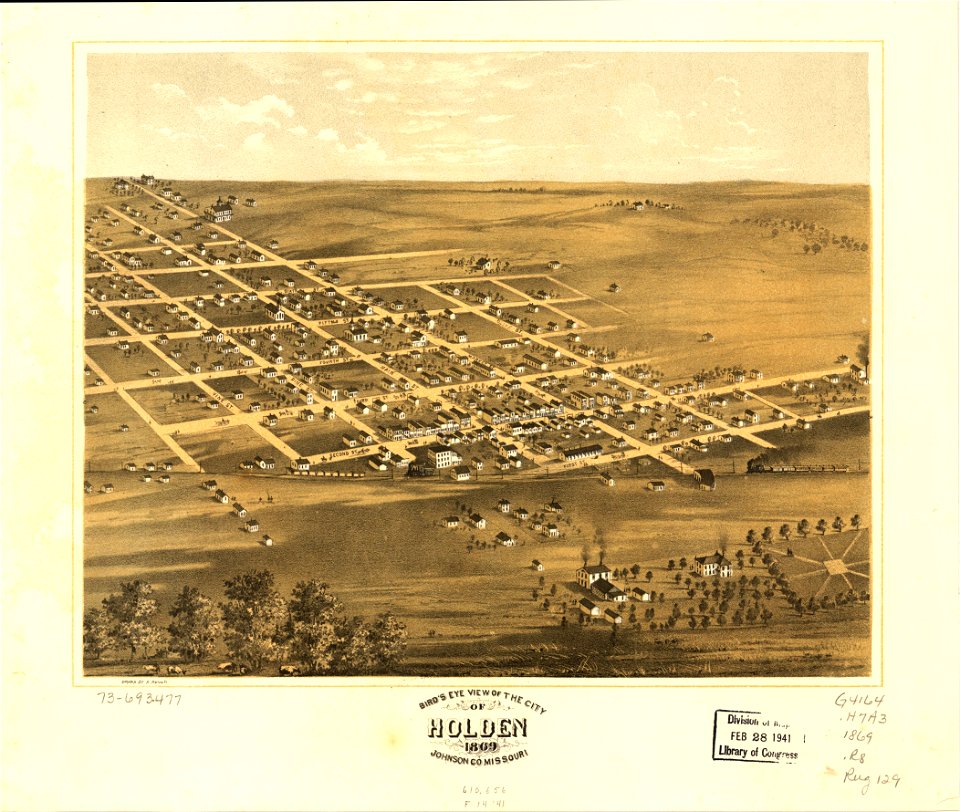
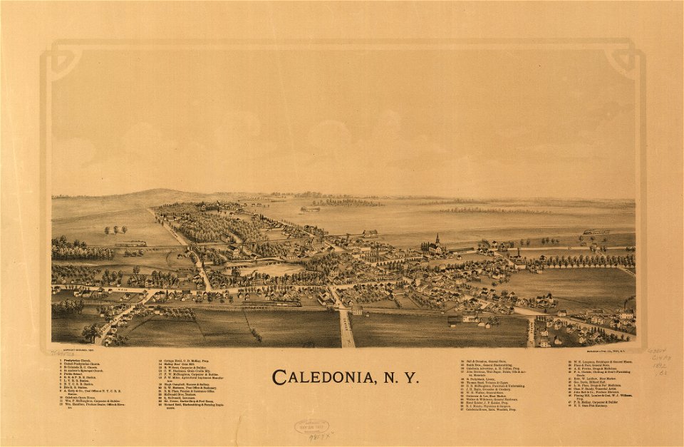
albert ruger
maps in the library of congress
albert ruger
maps in the library of congress
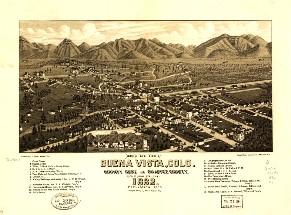
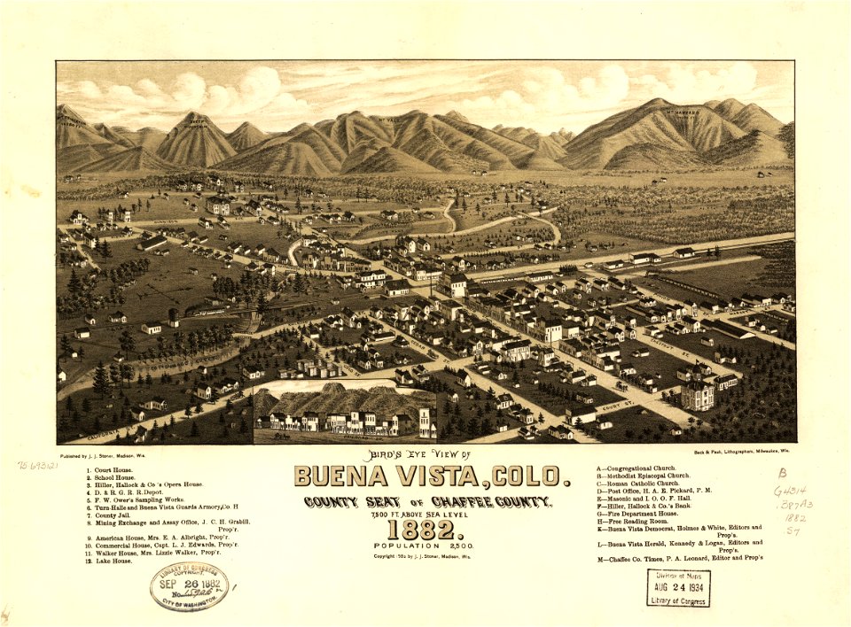
1882 maps
maps in the library of congress
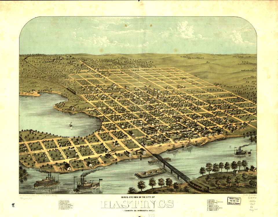
1867 maps
maps in the library of congress
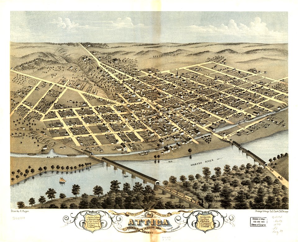
albert ruger
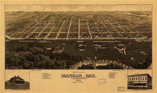
1883 maps of south dakota
south dakota
maps in the library of congress
albert ruger
maps in the library of congress
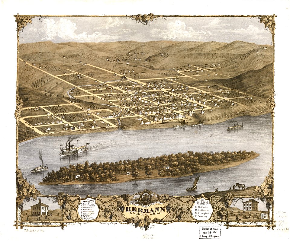
albert ruger
maps in the library of congress
albert ruger
maps in the library of congress
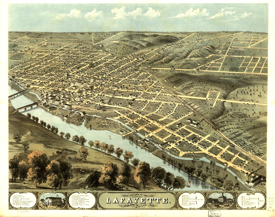
albert ruger
maps in the library of congress
albert ruger
maps in the library of congress
albert ruger
maps in the library of congress
1882 maps
maps in the library of congress
albert ruger
maps in the library of congress
albert ruger
maps in the library of congress
albert ruger
maps in the library of congress
albert ruger
maps in the library of congress
albert ruger
maps in the library of congress
albert ruger
maps in the library of congress
albert ruger
maps in the library of congress
albert ruger
maps in the library of congress
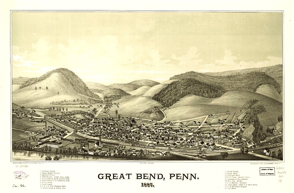
pennsylvania
ptolemy's 3rd african map
latin-language maps
maps in the library of congress
1900 maps
maps in the library of congress
albert ruger
latin-language maps
1630 maps
18th-century maps of indonesia
banda islands
jacobus van der schley
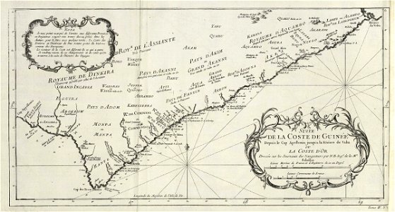
maps of west africa
maps of the west-indische compagnie
1746
maps in the library of congress
old maps of pennsylvania
maps in the library of congress
old maps of pennsylvania
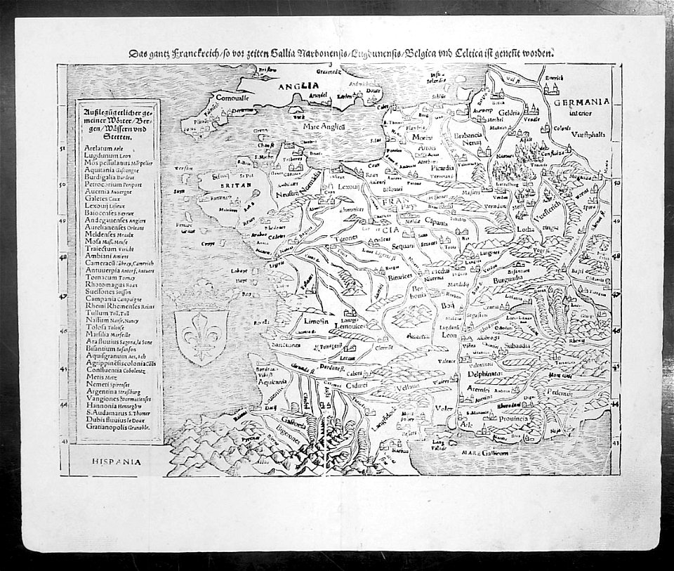
maps by sebastian münster
1550 maps
old maps of the tsardom of russia
atlas novus (blaeu)
small atlas of the russian empire (1792)
maps of saint petersburg governorate
small atlas of the russian empire (1792)
old maps of partitioned poland
david rumsey historical map collection
jr
maps in the library of congress
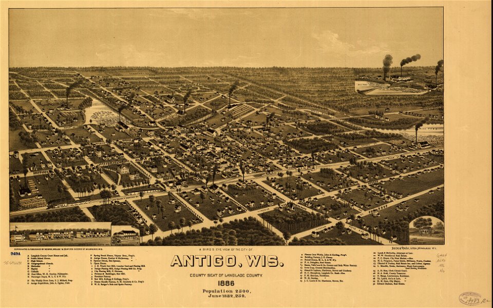
1886 maps
maps in the library of congress
1886 maps
maps in the library of congress
1886 maps
maps in the library of congress
albert ruger
maps in the library of congress
1883 maps
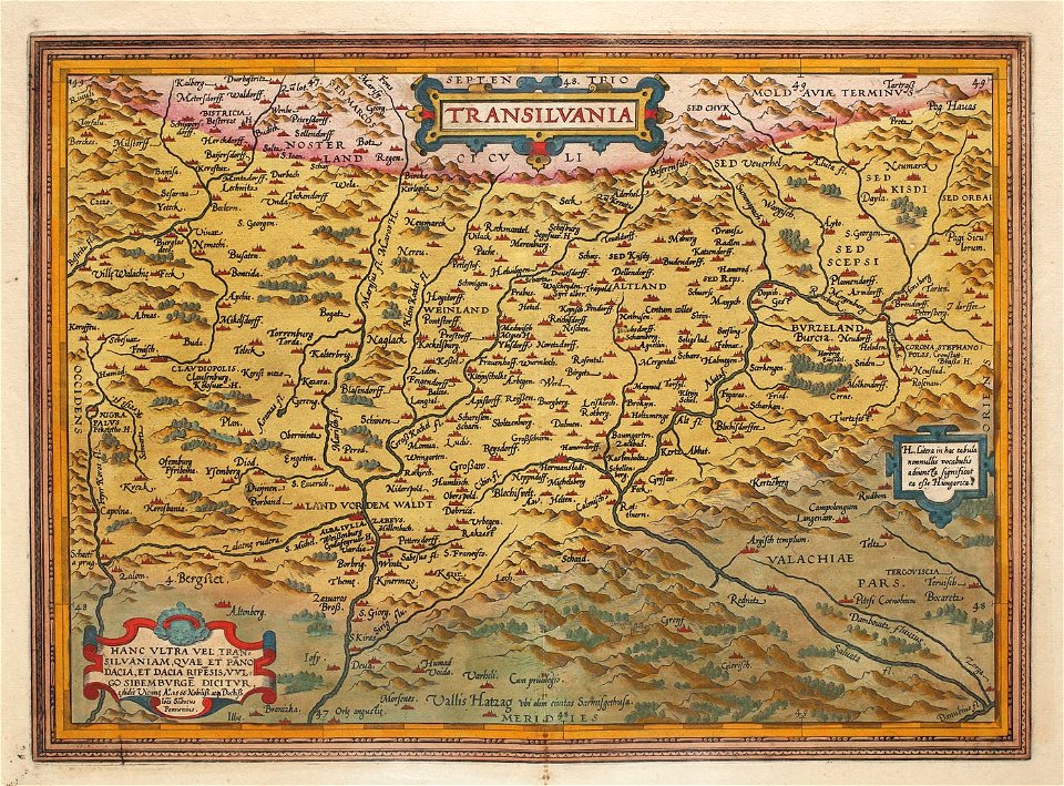
1575 maps of transylvania
johannes sambucus
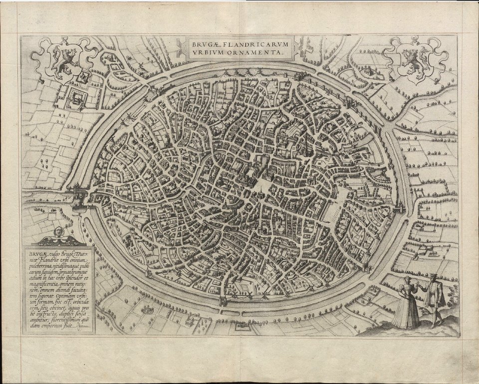
maps of bruges by braun & hogenberg
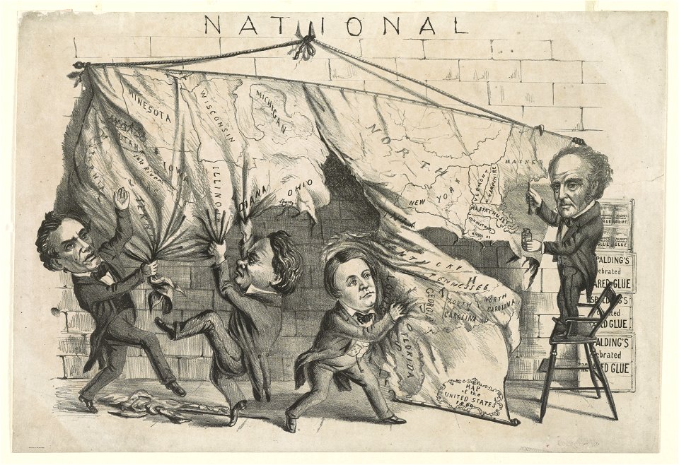
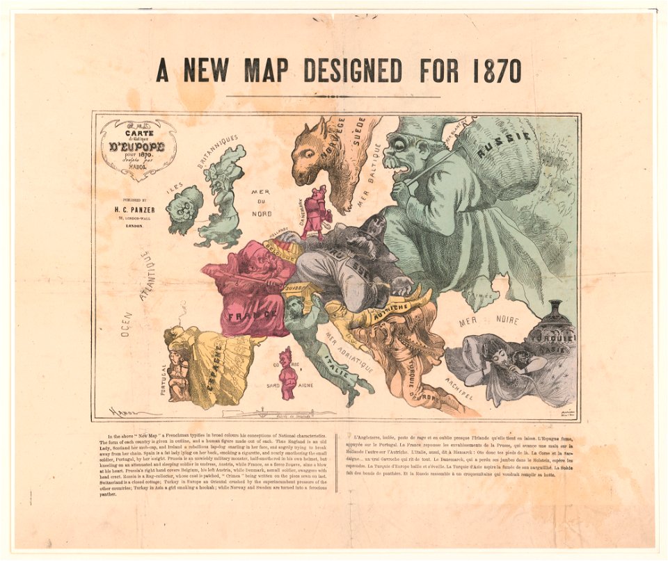
cartoons of the united states
unidentified maps
maps in the library of congress
1885 maps
maps in the library of congress
1892 maps
maps in the library of congress
1885 maps
maps in the library of congress
1889 maps
fra mauro map by sector
fra mauro map by sector
fra mauro map by sector
fra mauro map by sector
fra mauro map by sector
fra mauro map by sector
fra mauro map by sector
fra mauro map by sector
fra mauro map by sector
fra mauro map by sector
fra mauro map by sector
fra mauro map by sector
fra mauro map by sector
fra mauro map by sector
maps in the library of congress
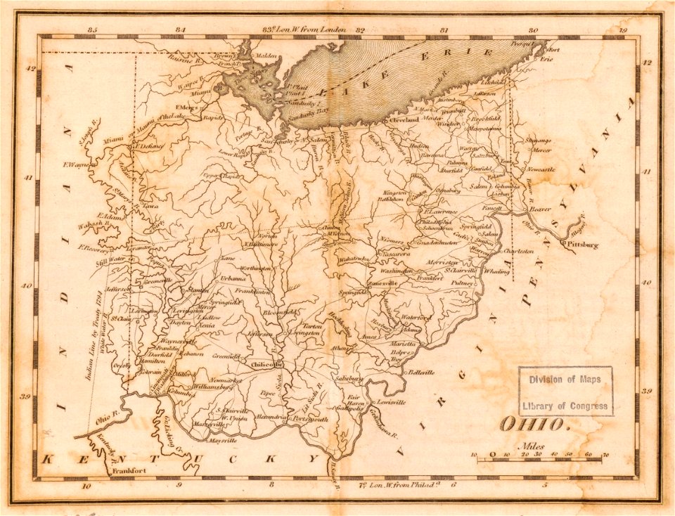
1814 maps of ohio
details of müller's map of bohemia
maps of přibyslav
maps in the library of congress
1801 maps
maps with human or animal shapes
maps by sebastian münster
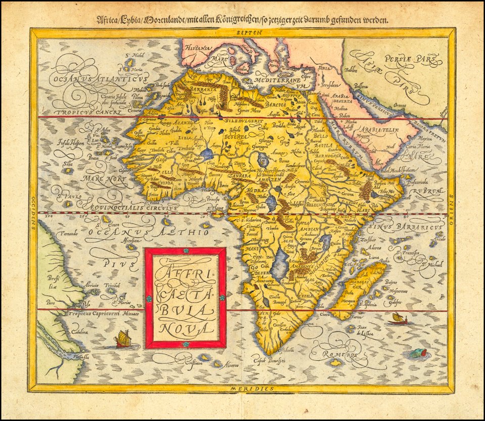
1580s maps of africa
maps of stockholm by petrus tillaeus
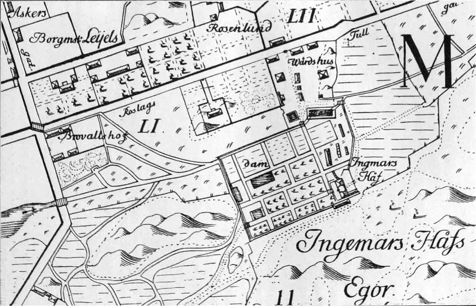
ingemarshof
description de l'universe
1719 maps of europe
illustrations of cosmographia (münster)
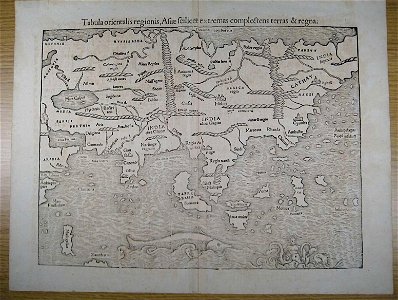
old maps of asia
illustrations of cosmographia (münster)
old maps of france
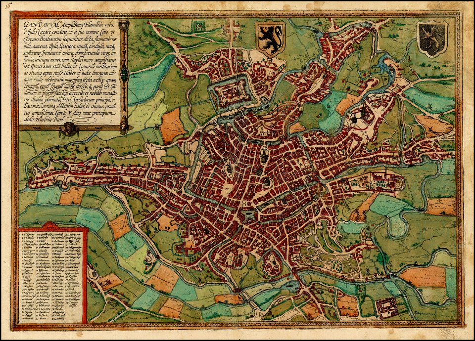
map of ghent by braun & hogenberg
2801 - 2900 of 38,713
Next page
/ 388