Log in
All resources
Create a design
38,713 Free Artworks of Map
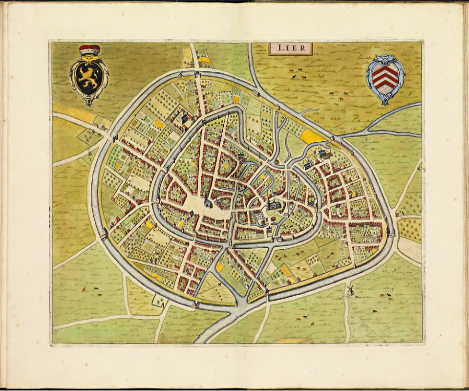
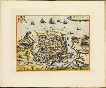
atlas de wit 1698
frederick de wit
university of toronto wenceslas hollar digital collection
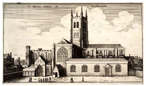
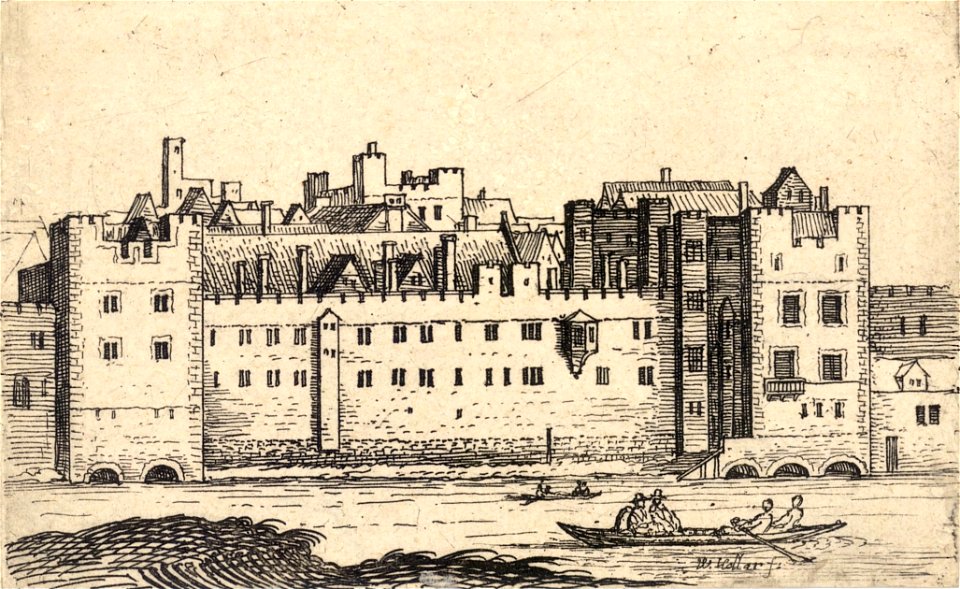
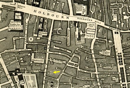
hollar maps and plans of london
charts and maps of the royal museums greenwich
geographical illustrations by coronelli
lepsius-projekt - maps
old maps of the peloponnese
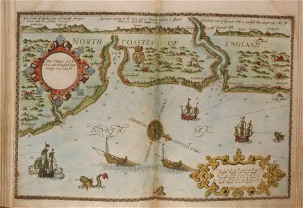
lucas janszoon waghenaer
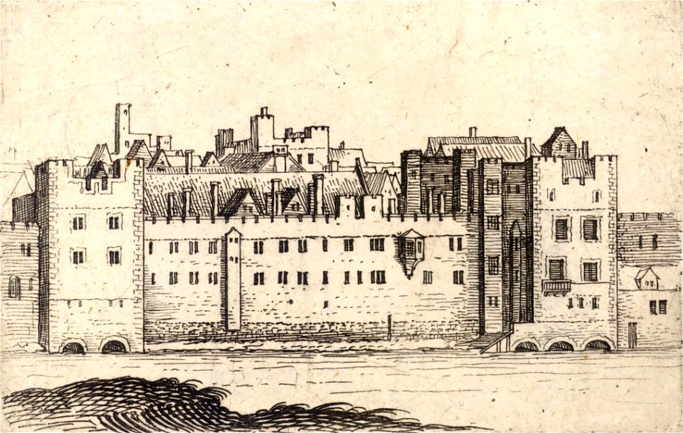
architectural prints by wenzel hollar
collections of stadtarchiv braunschweig
old maps of braunschweig
charts and maps of the royal museums greenwich
lucas janszoon waghenaer
university of toronto wenceslas hollar digital collection
architectural prints by wenzel hollar
university of toronto wenceslas hollar digital collection
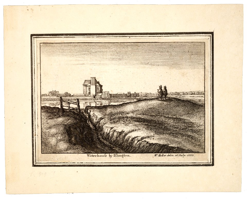
prints by wenzel hollar
university of toronto wenceslas hollar digital collection
prints by wenzel hollar
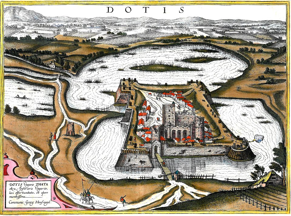
maps and topographical views by joris hoefnagel
16th-century art
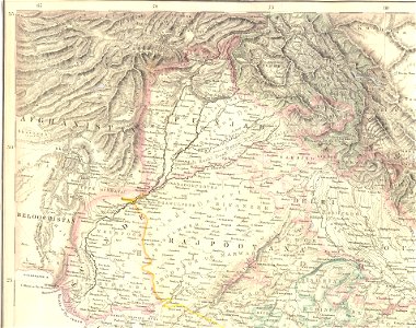
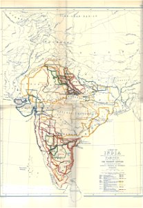
19th-century maps of india
engravings by william miller
university of toronto wenceslas hollar digital collection
hollar maps and plans of london
prints in the museum boijmans van beuningen
claes jansz. visscher (ii)
prints in the museum boijmans van beuningen
claes jansz. visscher (ii)
files from the bodleian libraries
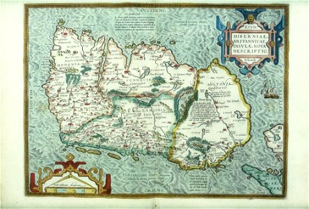
old maps of ireland
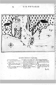
voyage pittoresque de la grèce
maps of troas
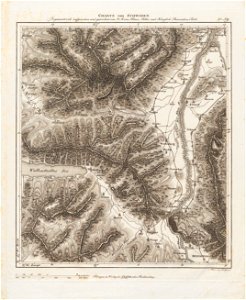
alpstein
säntis
maps by gerardus mercator
mercator celestial globe
atlantis magni tomus quartus (biblioteca comunale di trento)
maps made in the 17th century
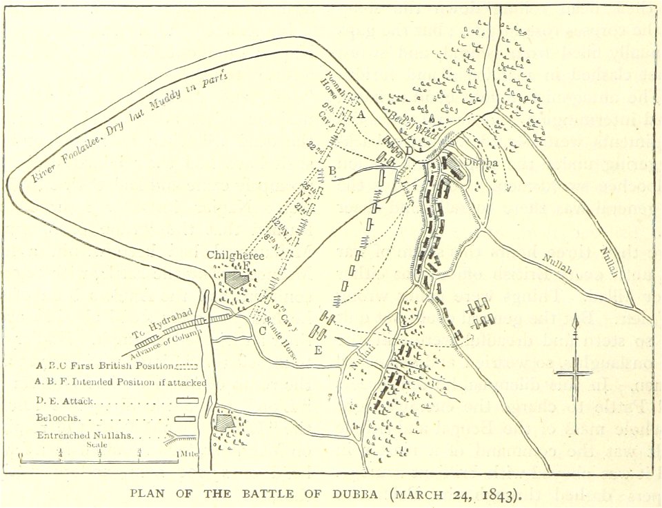
illustrated battles of the nineteenth century
1895 drawings
history of geology
1896 maps
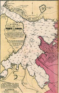
josé maría de la torre
cuba in the 1860s
1885 maps
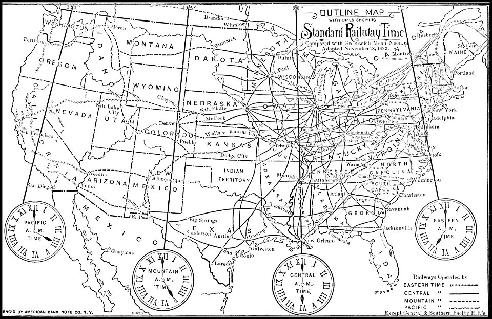
time
printing in the netherlands
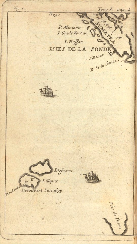
asia in the 17th century
maps of the dutch east india company - sri lanka
1726
maps of the west-indische compagnie
1746
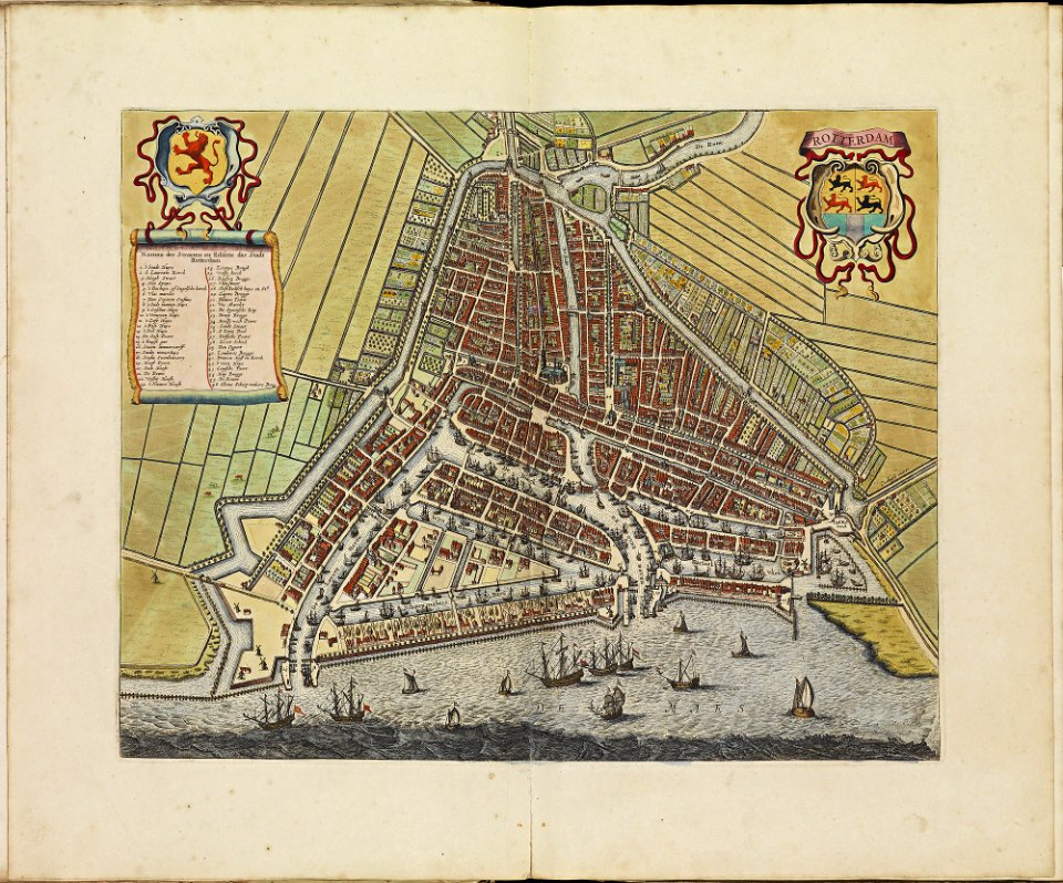
rotterdam in the 17th century
old maps of rotterdam
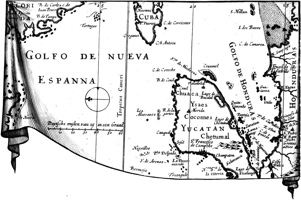
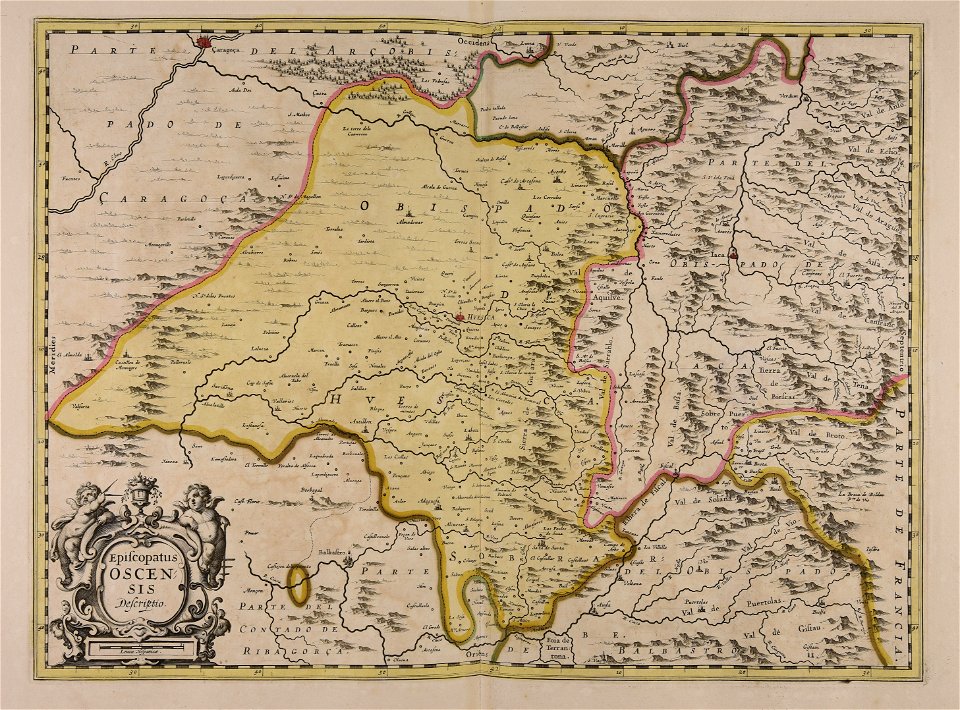
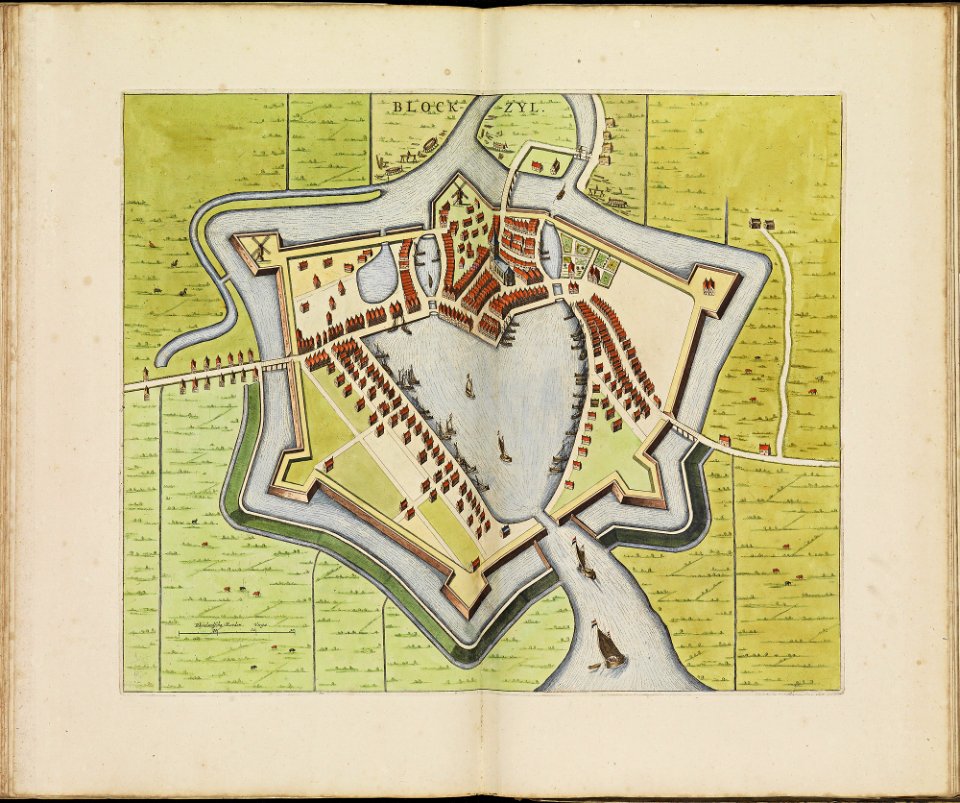
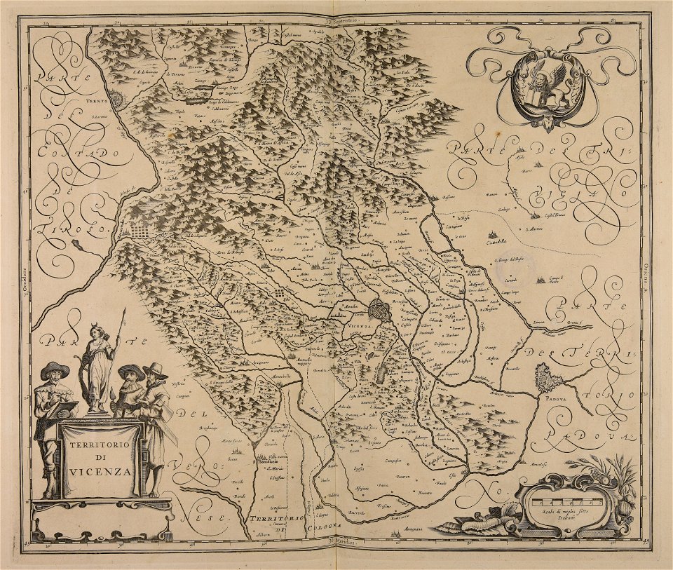
atlas de wit 1698
frederick de wit
atlas de wit 1698
frederick de wit
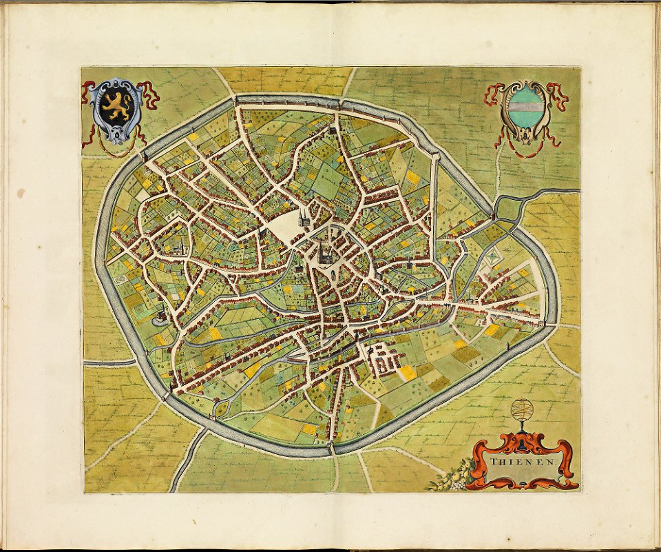
atlas de wit 1698
frederick de wit
atlas de wit 1698
frederick de wit
atlas de wit 1698
frederick de wit
atlas de wit 1698
frederick de wit
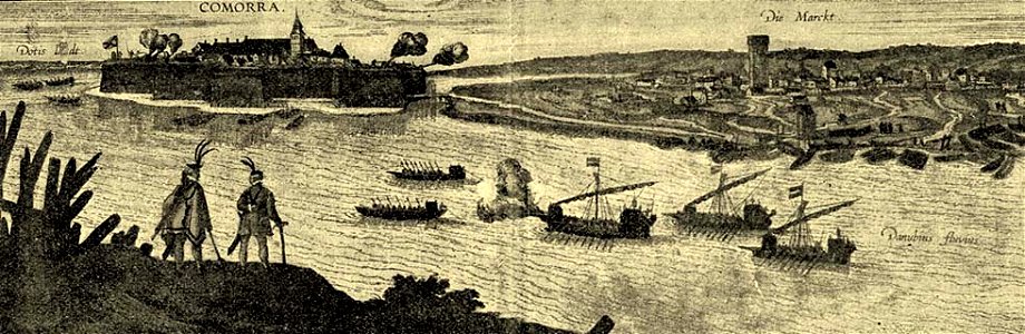
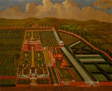
kennebec river
maine
drawings and watercolours of the royal museums greenwich
printing
maps of the united states
karl bodmer
old maps of lower saxony
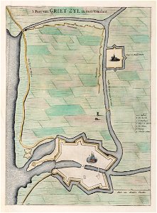
greetsiel
dutch–portuguese war
1665
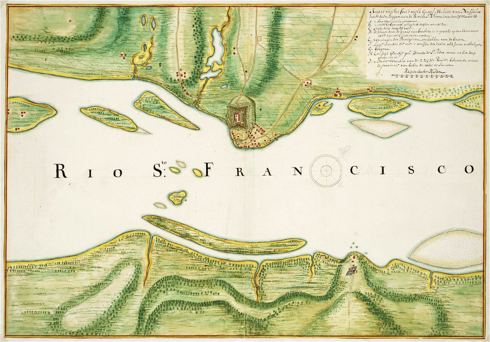
old maps of dutch brazil
johannes vingboons
prints from histoire de guillaume iii at the peace palace library
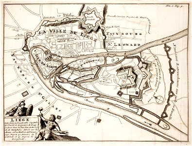
maps of liège in the 17th century
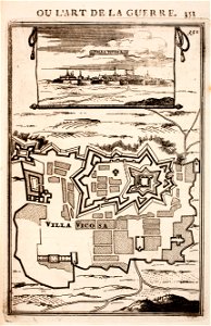
prints from manesson travaux de mars at the peace palace library
maps of fortifications in portugal
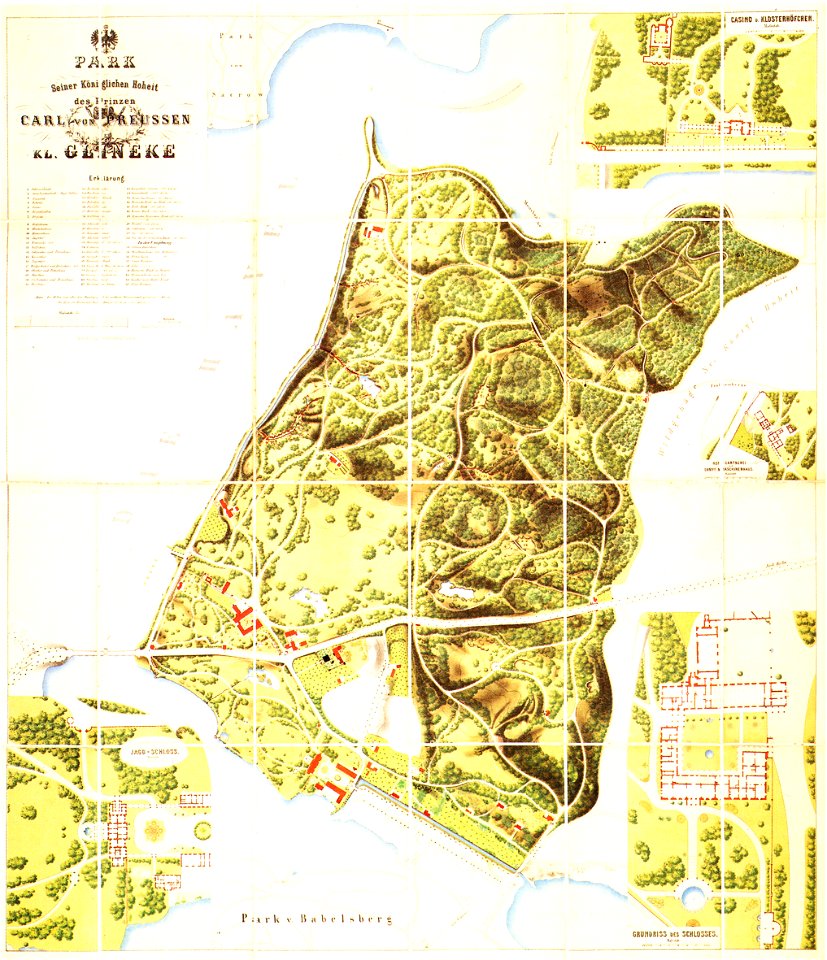
königstraße (berlin-wannsee)
glienicker brücke
maps and topographical views by joris hoefnagel
károly cserna
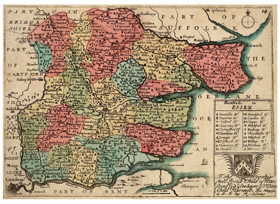
buckinghamshire
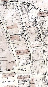
old map
portraits of sitting men
carmontelle
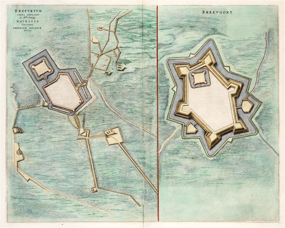
old maps of bredevoort
1597
university of toronto wenceslas hollar digital collection
architectural prints by wenzel hollar
university of toronto wenceslas hollar digital collection
hundred (county division)
atlantis magni tomus quartus (biblioteca comunale di trento)
maps made in the 17th century
monument and memorial sections
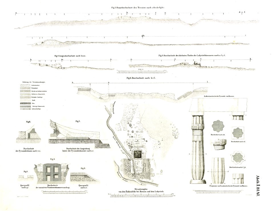
lepsius-projekt - pyramids
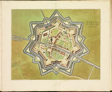
atlas de wit 1698
frederick de wit
atlas de wit 1698
frederick de wit
old maps of breda
frederick de wit
atlas de wit 1698
frederick de wit
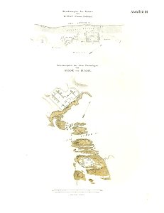
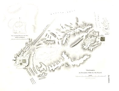
lepsius-projekt - fortifications
lepsius-projekt - maps
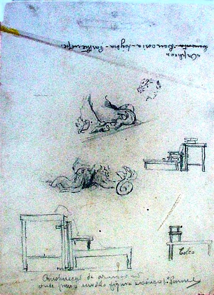
drawings by leonardo da vinci in the royal collection of the united kingdom
lepsius-projekt - maps
pyramid of djedefra
geographical illustrations by coronelli
old maps of the peloponnese
john rocque 1746 crops from library of congress
maps in the library of congress
drawings by leonardo da vinci in the royal collection of the united kingdom
engravings by william miller
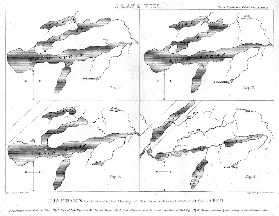
maps of lakes
old maps of piedmont
history of savoie
prints from isaak tirion hedendaegsche historie at the peace palace library
old maps of south holland
dutch 17th-century prints in the rijksmuseum amsterdam
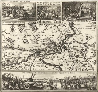
old maps of gelderland
topographie der eydgenoßschaft
1757 in switzerland
bibliothèque municipale de reims
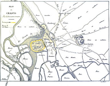
maps of châlons-en-champagne
timeline of major famines in india during british rule
history of india
files from the bodleian libraries
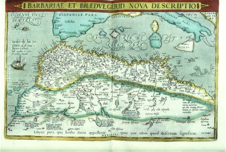
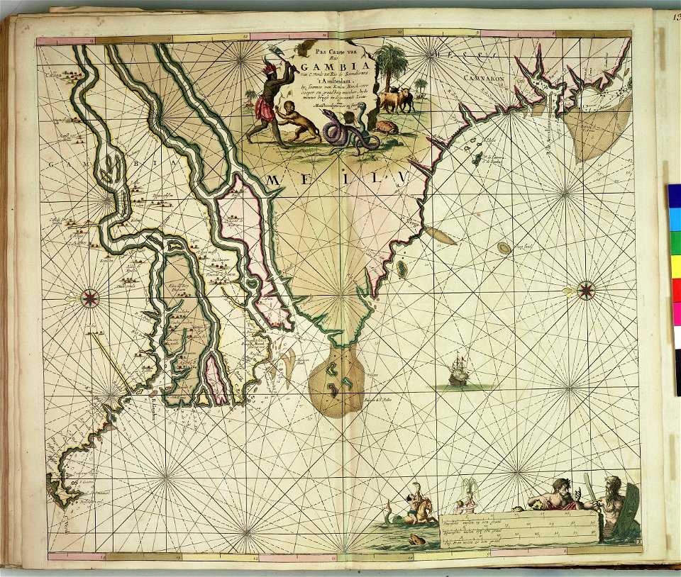
old maps of africa
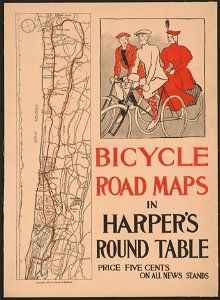
harper's magazine posters
1895
drawings of france
1600s drawings
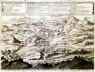
geographical illustrations by coronelli
old maps of athens
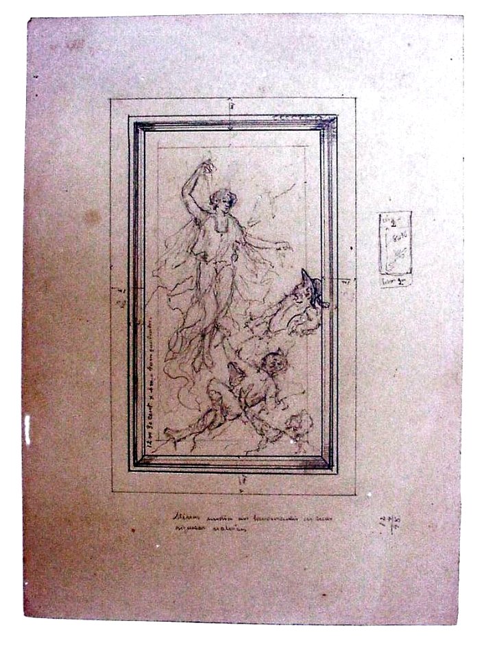
drawings in the museu antônio parreiras
drawings in the museu antônio parreiras
charts and maps of the royal museums greenwich
charts and maps of the royal museums greenwich
prints from the peace palace library
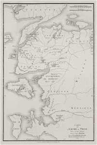
old maps of the roman empire
engravings by matthäus merian
schaffhausen in art
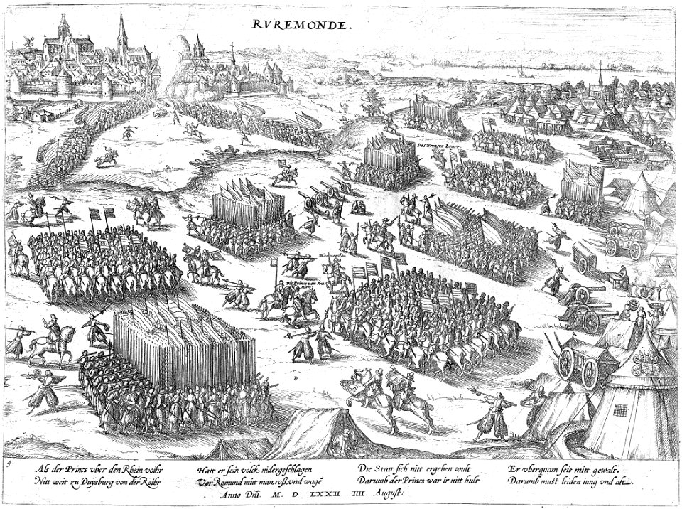
battles of the eighty years' war
frans hogenberg
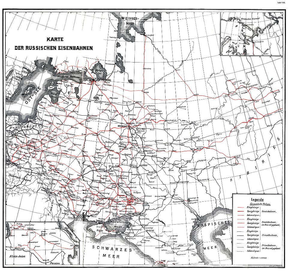
enzyklopädie des eisenbahnwesens
1912 in russia
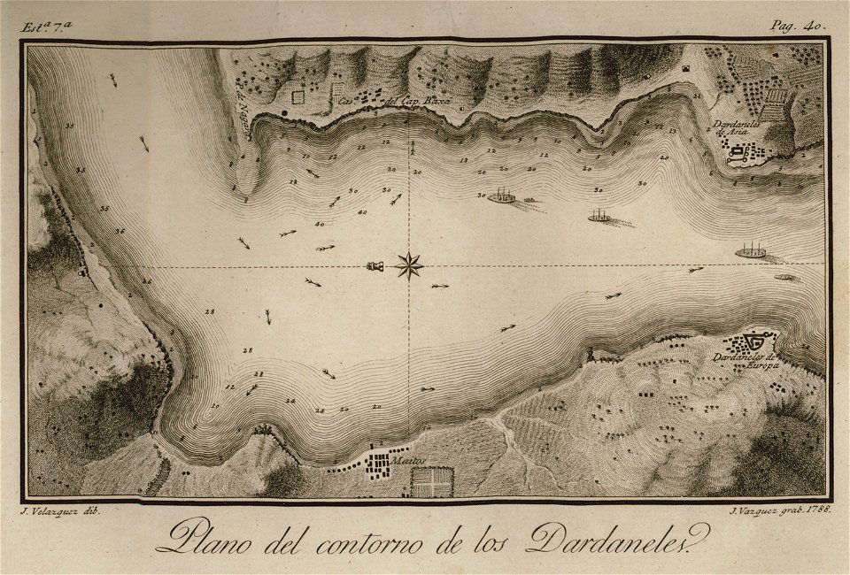
en el año de 1784 (1790)
viage á constantinopla
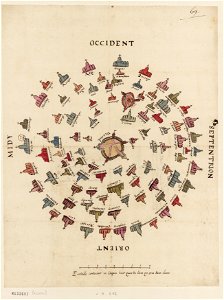
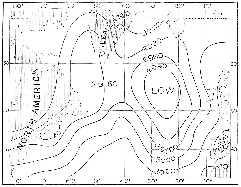
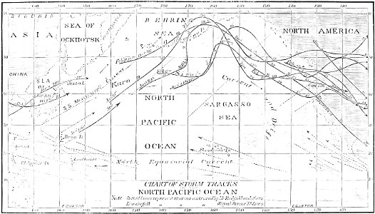
atmospheric circulation
1880 maps
atlas de wit 1698
frederick de wit
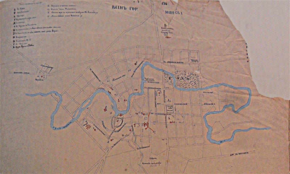
historical images of minsk
minsk in the 19th century
historical images of minsk
minsk
geographical illustrations by coronelli
old maps of the peloponnese
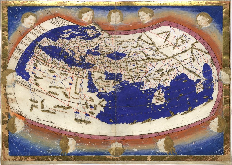
cosmographia claudii ptolomaei alexandrini
age of discovery
spain in the 1720s
nicolas de fer
atmospheric circulation
1880 maps
maps by willem and johannes blaeu
joan blaeu
prints from the peace palace library
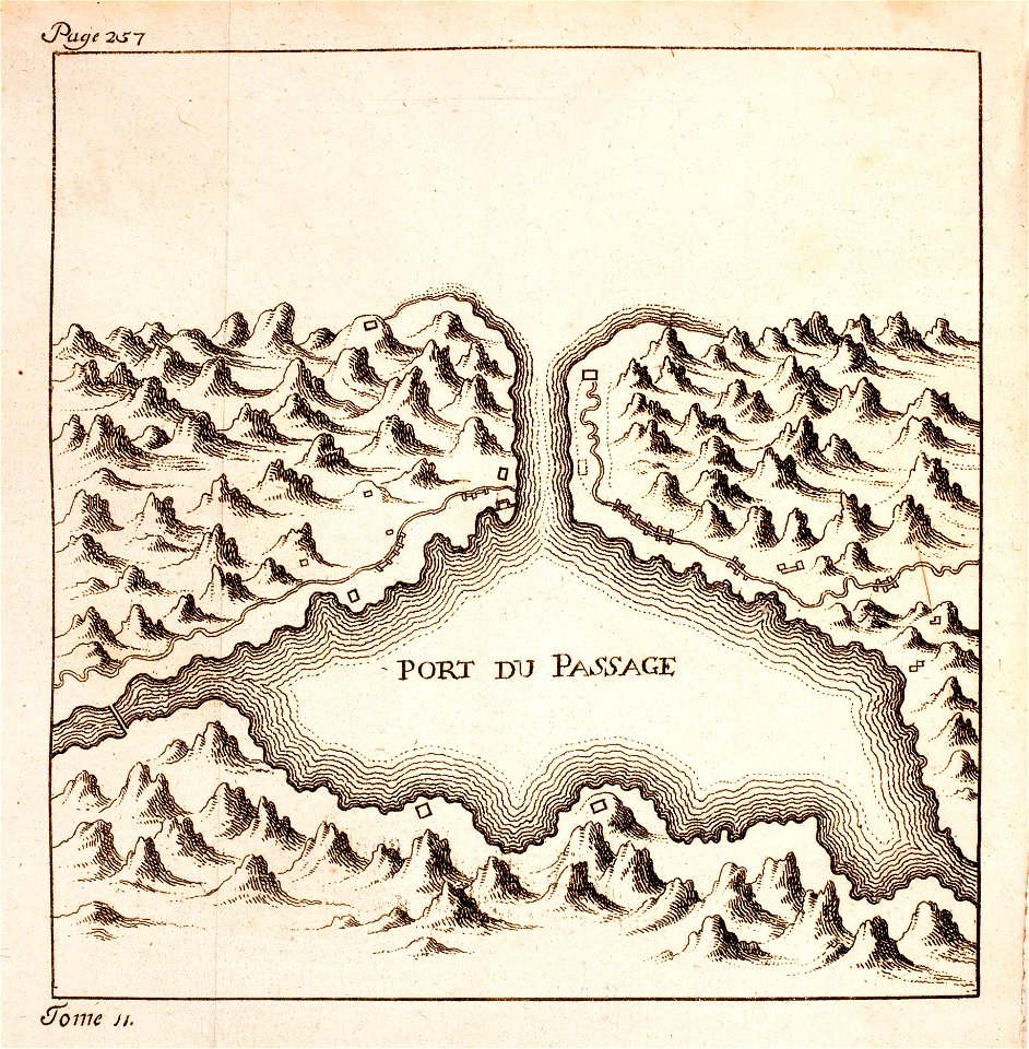
maps of hondarribia
media in the houghton library
harvard university
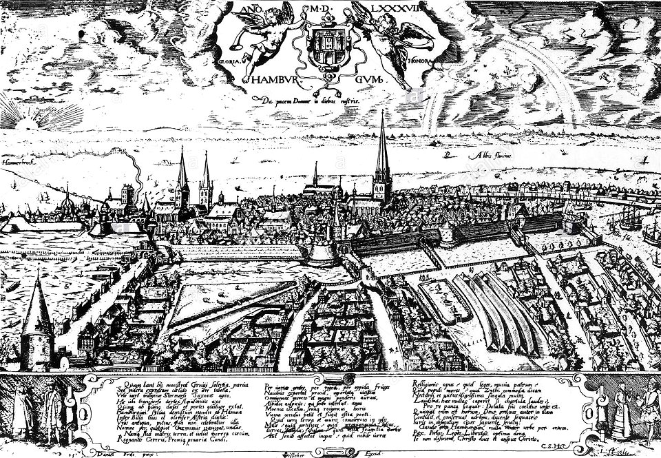
historic views of hamburg
staatsarchiv hamburg
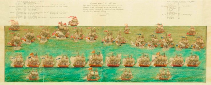
history of the french navy
history of the royal navy
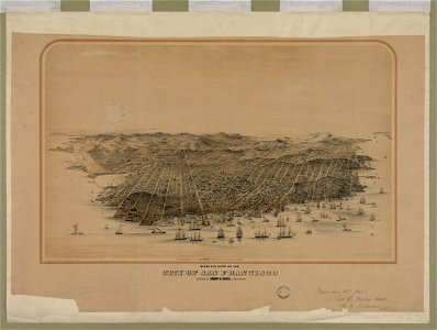
bird's eye view maps of california
san francisco in art
harper's magazine posters
1895
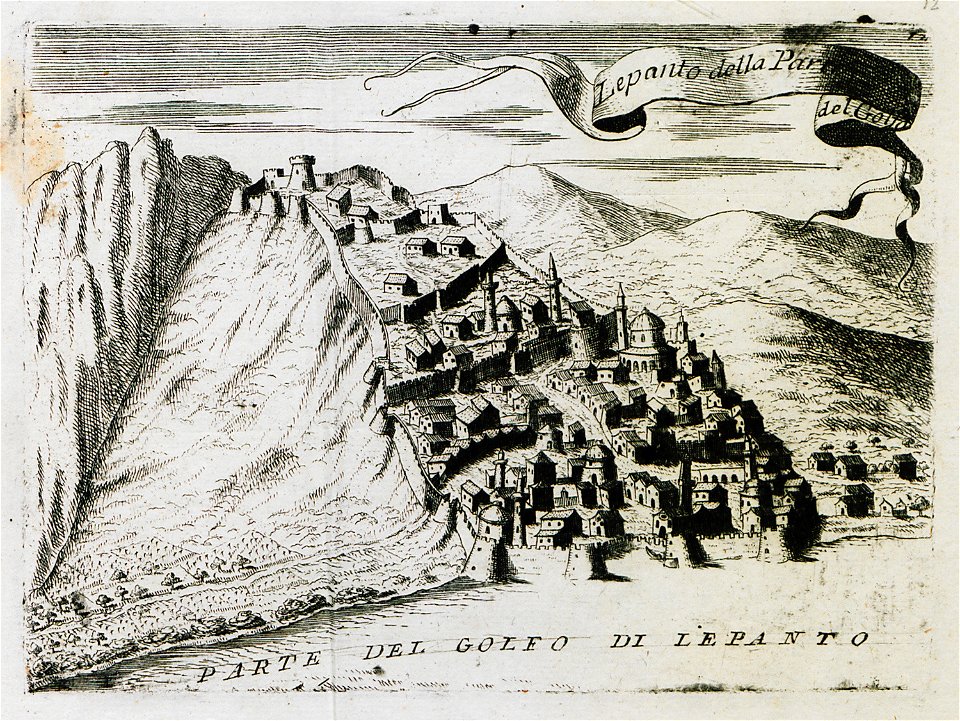
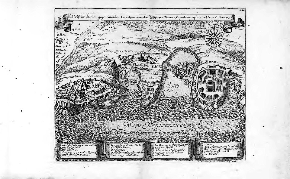
18th-century maps of the mediterranean sea
history of the mediterranean
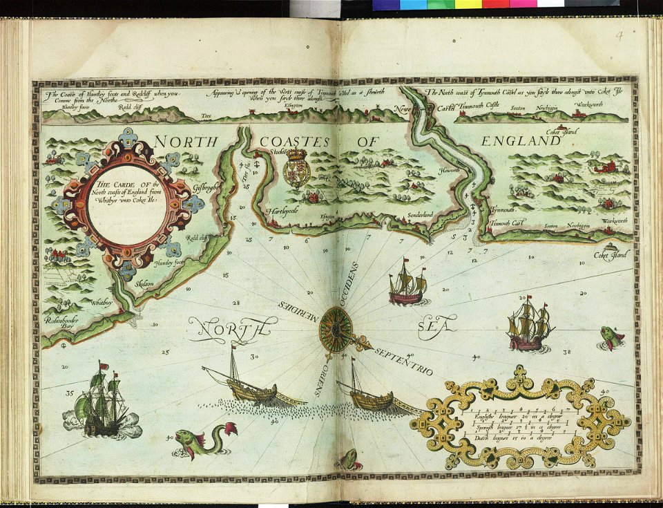
charts and maps of the royal museums greenwich
lucas janszoon waghenaer
images from bristol past and present (1882)
clifton (bristol ward)
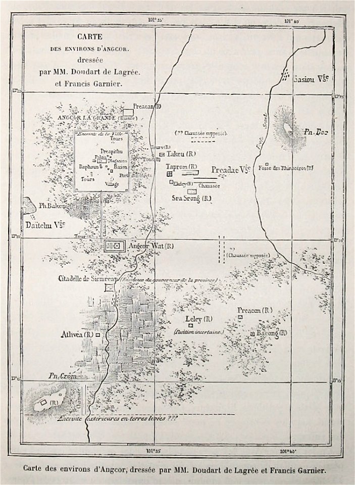
voyage d'exploration en indo-chine - (1885
francis garnier
geographical illustrations by coronelli
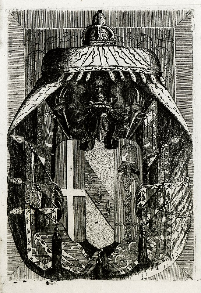
3 fleurs-de-lis or in heraldry
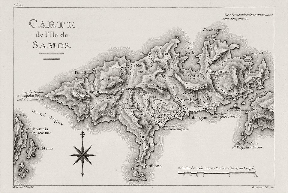
voyage pittoresque de la grèce
maps of samos
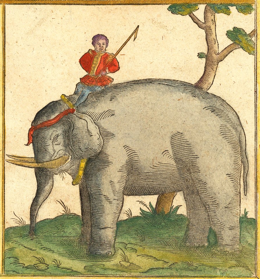
maps by sebastian münster
elephants in art
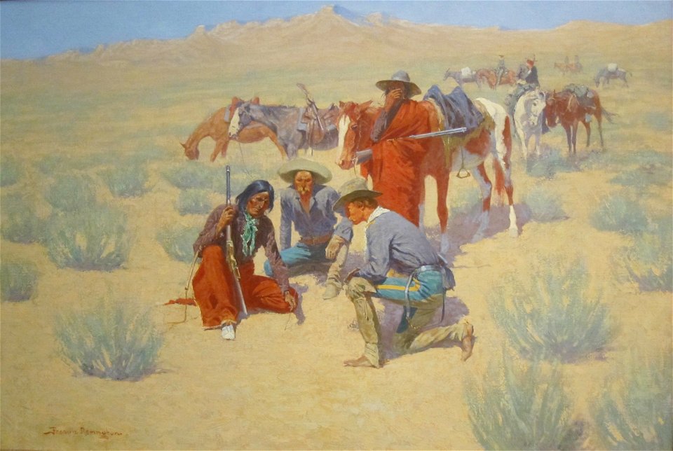
american paintings in the cincinnati art museum
frederic remington
9601 - 9700 of 38,713
Next page
/ 388