Log in
All resources
Create a design
38,713 Free Artworks of Map
atlas of the russian empire (1800)
atlante veneto (raremaps.com) volume 2
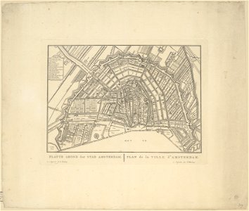
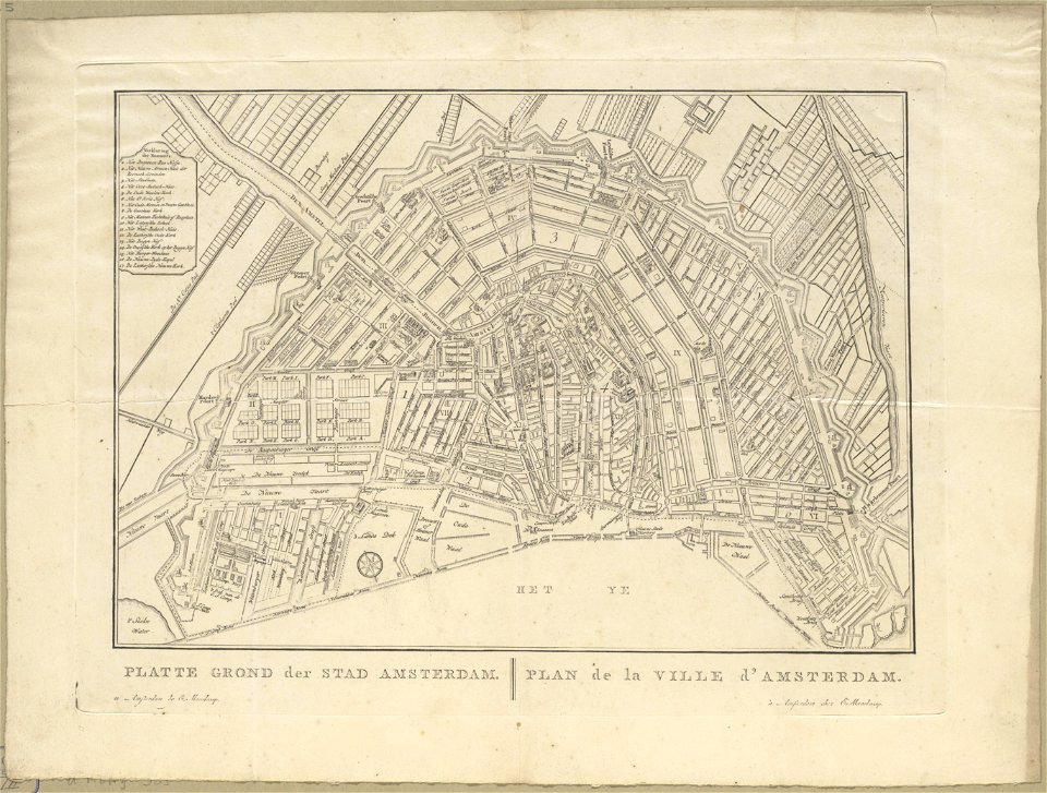
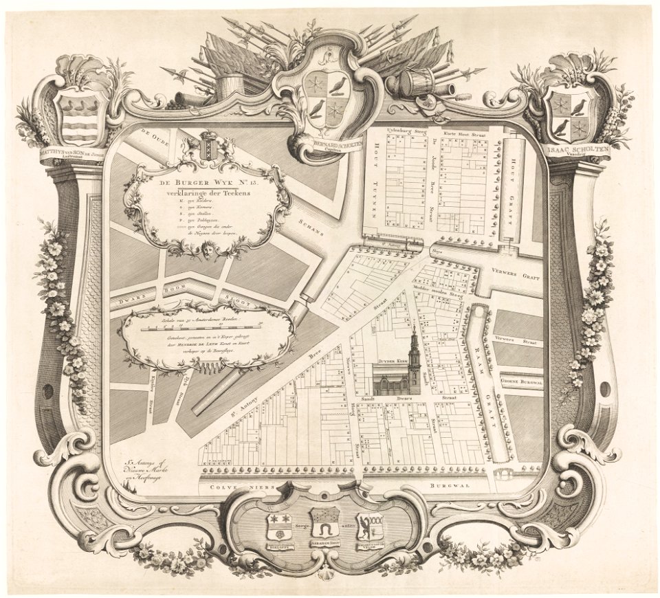
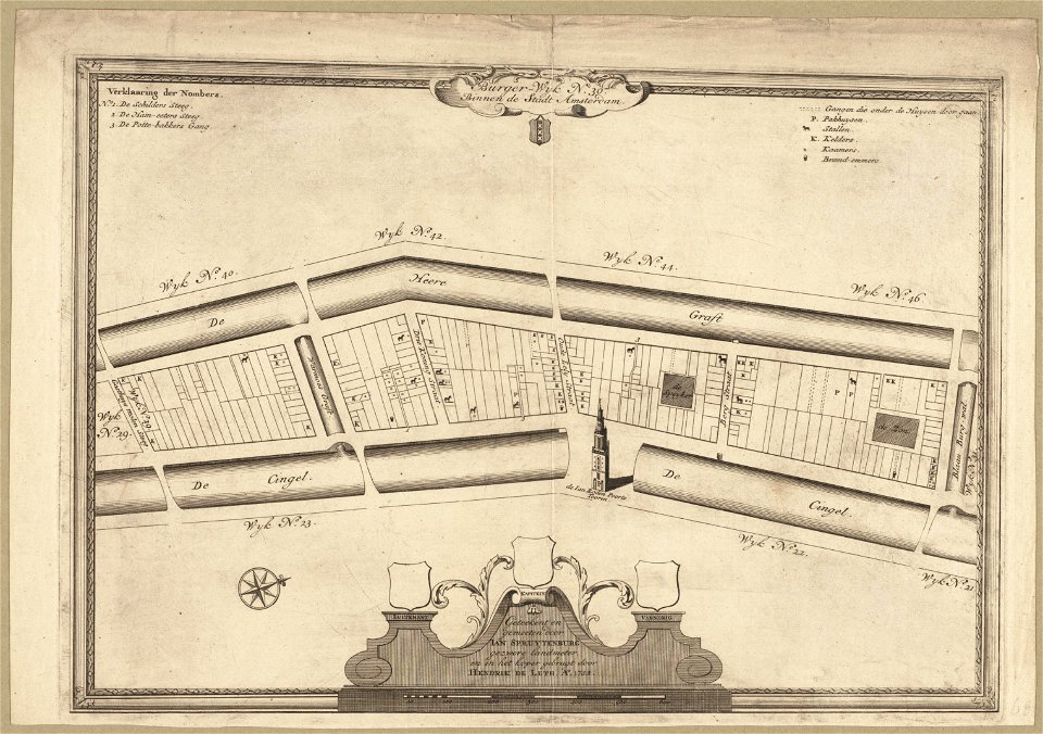
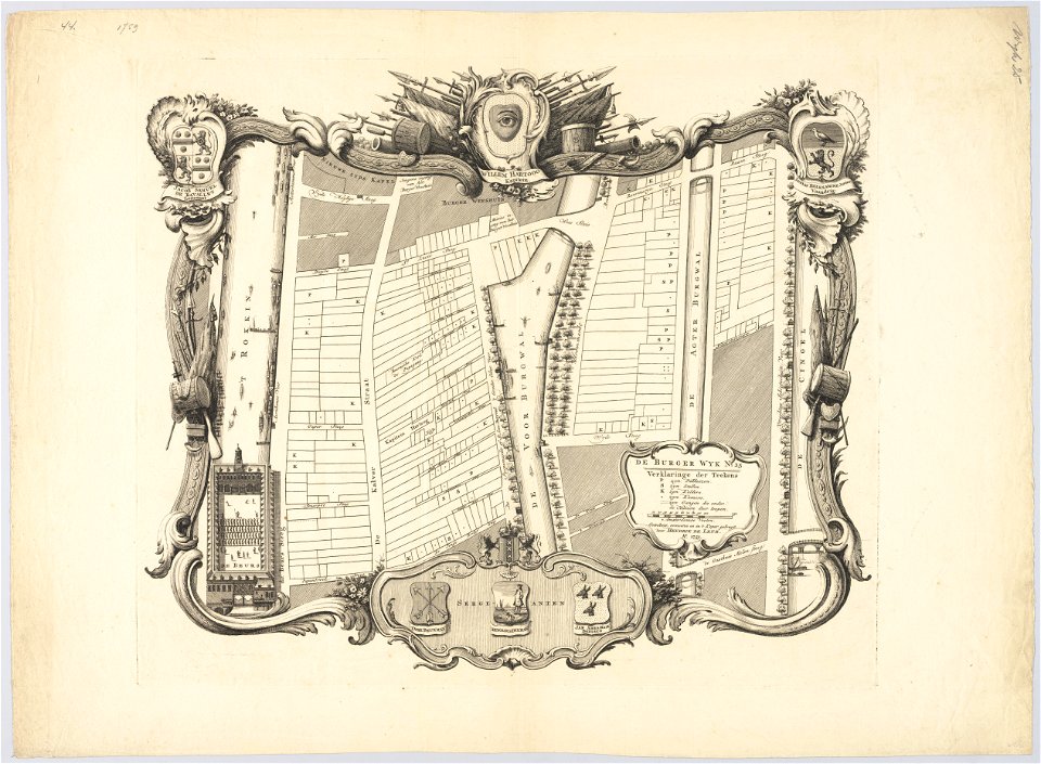
maps in the stadsarchief amsterdam
old maps of islands of the aegean sea
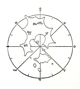
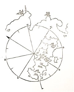
bartolommeo dalli sonetti
hendrik de leth
geographical illustrations by coronelli
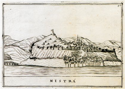
old maps of the peloponnese
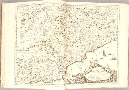
atlante veneto (raremaps.com) volume 1
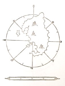
astronomical maps
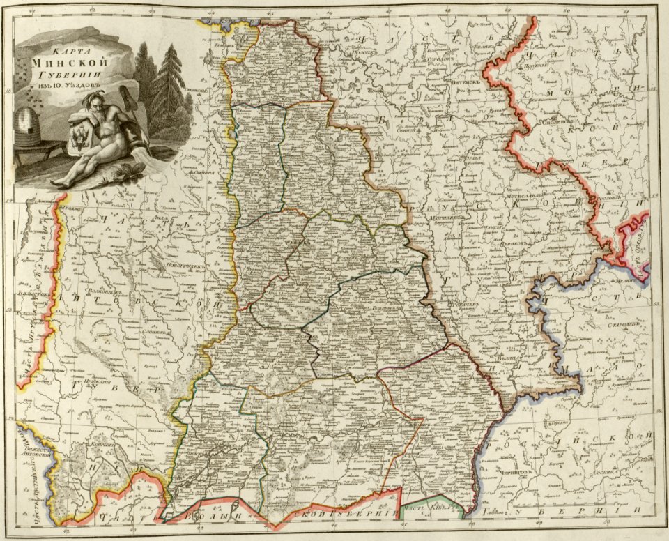
atlas of the russian empire (1800)
maps of minsk governorate
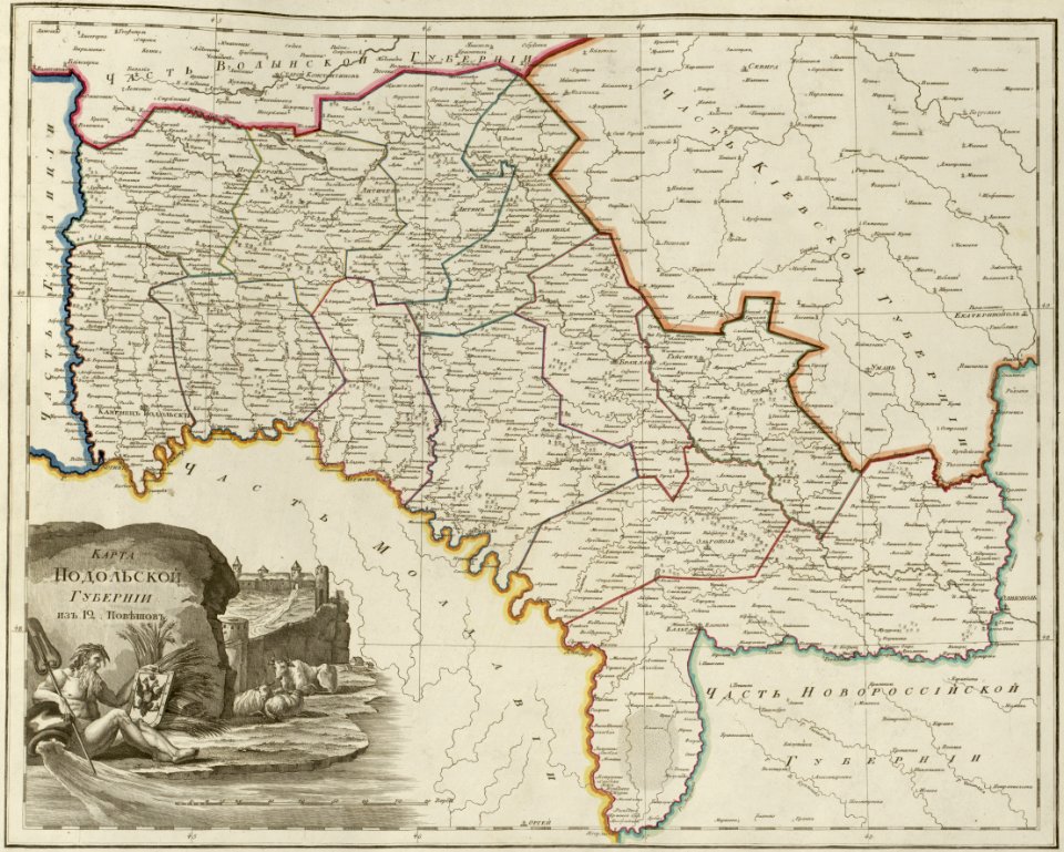
atlas of the russian empire (1800)
maps of podolia governorate
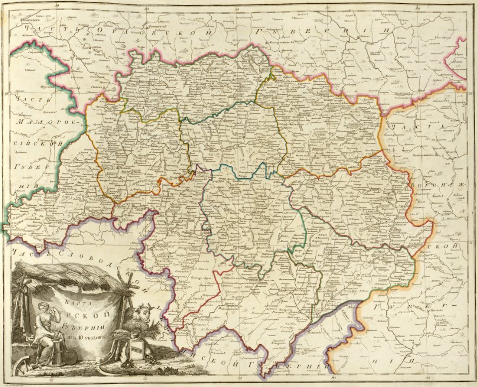
atlas of the russian empire (1800)
maps of kursk governorate
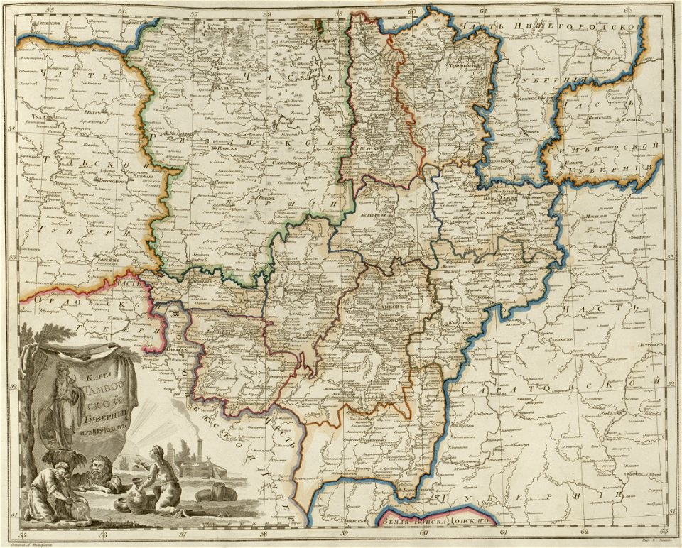
atlas of the russian empire (1800)
maps of tambov governorate
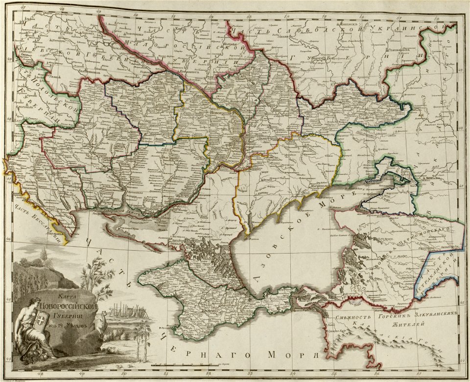
atlas of the russian empire (1800)
maps of novorossia governorate
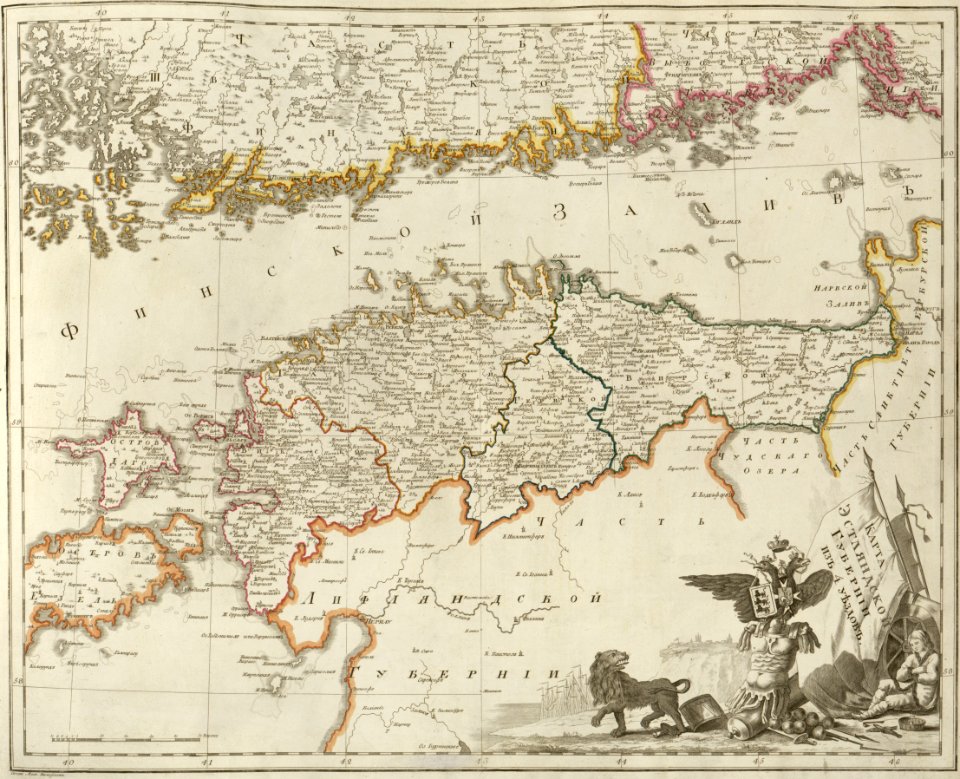
atlas of the russian empire (1800)
maps of estlandia governorate
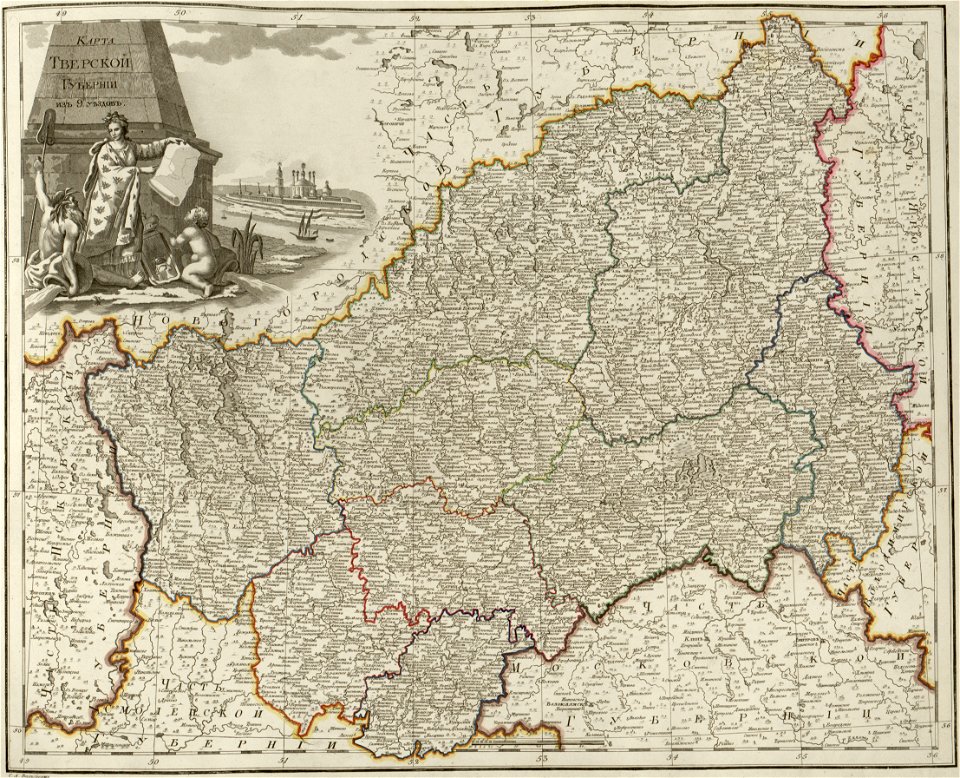
atlas of the russian empire (1800)
maps of tver governorate
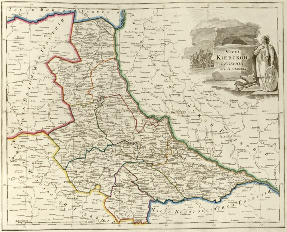
atlas of the russian empire (1800)
maps of kiev governorate
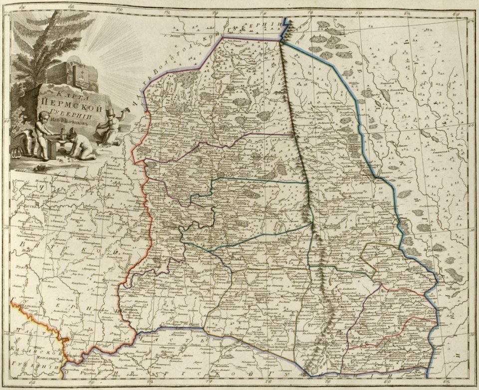
atlas of the russian empire (1800)
maps of perm governorate
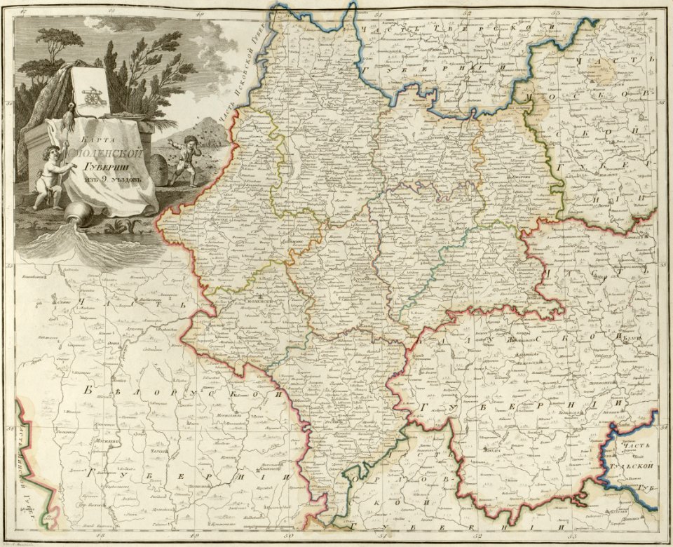
atlas of the russian empire (1800)
maps of smolensk governorate
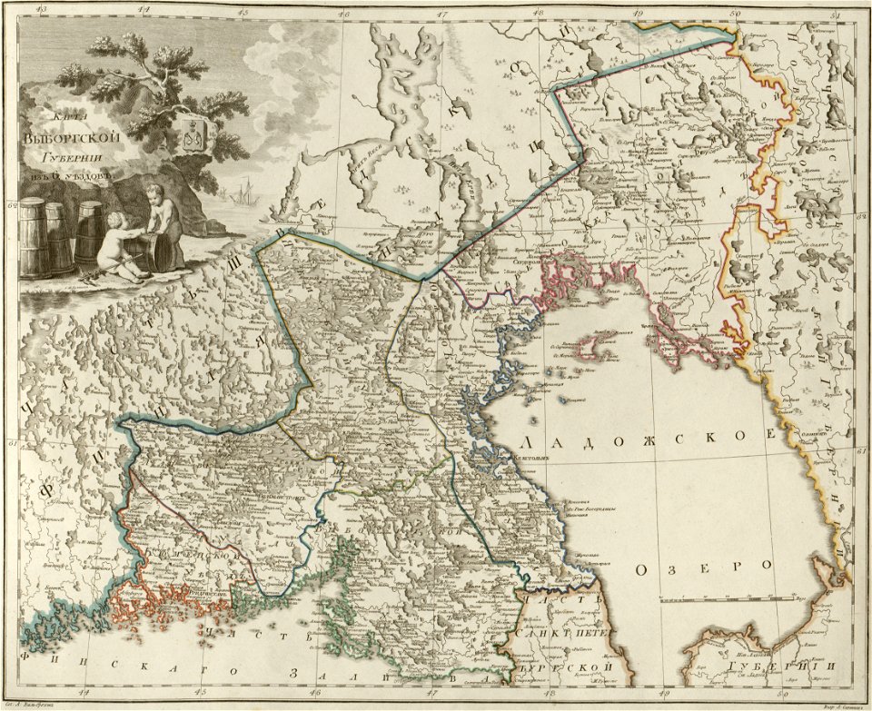
atlas of the russian empire (1800)
maps of wyborg governorate
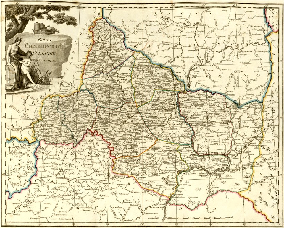
atlas of the russian empire (1800)
maps of simbirsk governorate
atlas of the russian empire (1800)
maps of vladimir governorate
old maps of the strait of magellan
voyage au pôle sud
maps by brockhaus
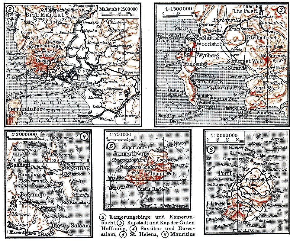
mount cameroon
atlante veneto (raremaps.com) volume 2
1690s maps of liguria
atlante veneto (raremaps.com) volume 1
1690s maps of asia
atlante veneto (raremaps.com) volume 1
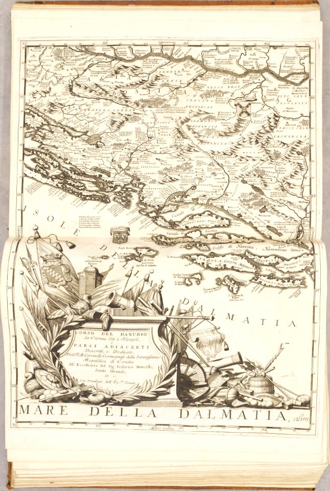
old maps of the danube
illustrations of cosmographia (münster)
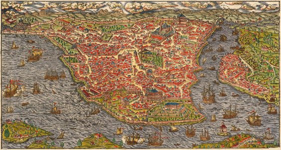
old maps of constantinople
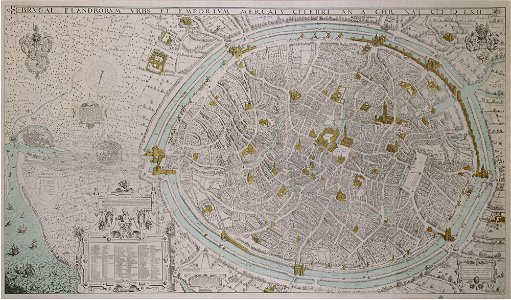
map of ghent by braun & hogenberg
old maps of islands of the aegean sea
bartolommeo dalli sonetti
old maps of islands of the aegean sea
bartolommeo dalli sonetti
old maps of islands of the aegean sea
bartolommeo dalli sonetti
old maps of islands of the aegean sea
bartolommeo dalli sonetti
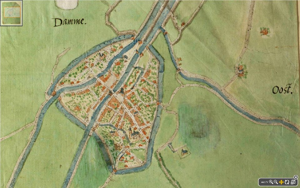
map of damme by jacob van deventer
lieve
maps in the stadsarchief amsterdam
daniel stoopendaal
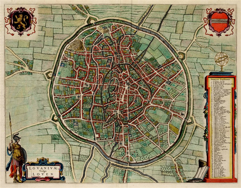
old maps of leuven
atlas van loon
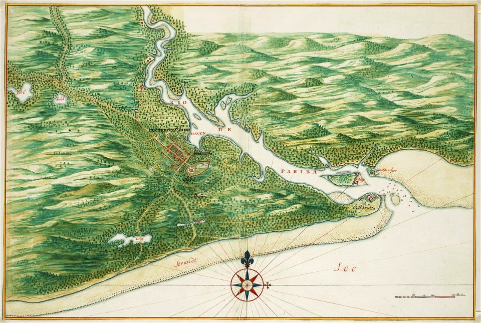
old maps of dutch brazil
johannes vingboons
holwinde
usquert
hans jakob breuning von buchenbach
drawings in the museu antônio parreiras
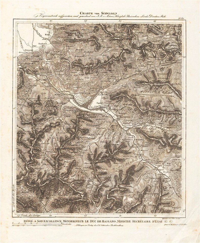
charte von schwaben (bohnenberger)
old maps of vorarlberg
bibliothèque municipale de reims
chgg 16
heinrich petri (printer)
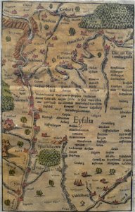
eifel
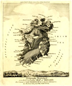
satirical prints in the british museum
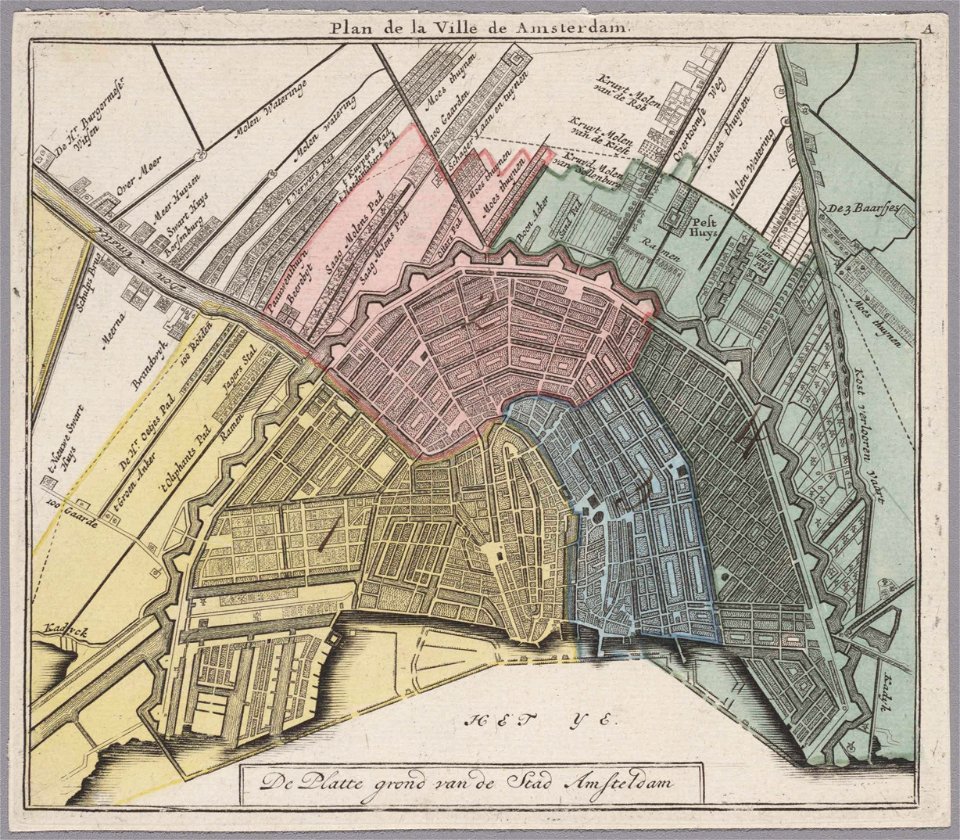
old maps of amsterdam
evert maaskamp
old maps of amsterdam
evert maaskamp
people with maps in art
oil paintings of boys
description des principales villes (1690)
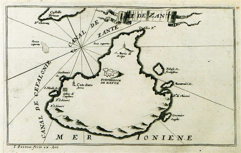
maps of zakynthos
map of ferrara by andrea bolzoni
quadrivio degli angeli
geographical illustrations by coronelli
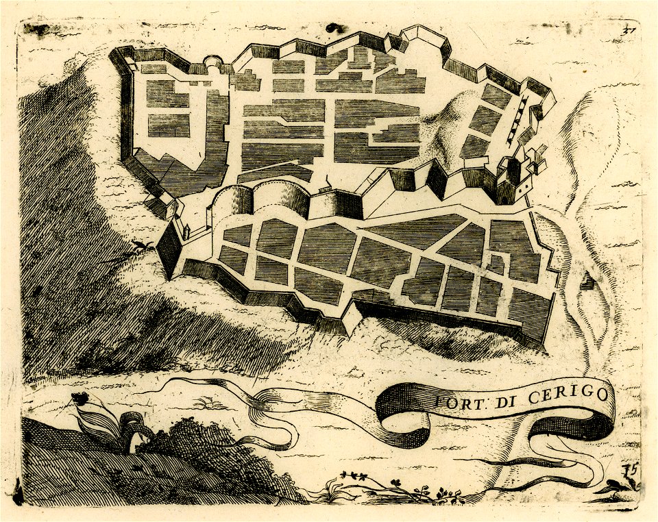
engravings of kythira
historical images of homel
maps of homieĺ
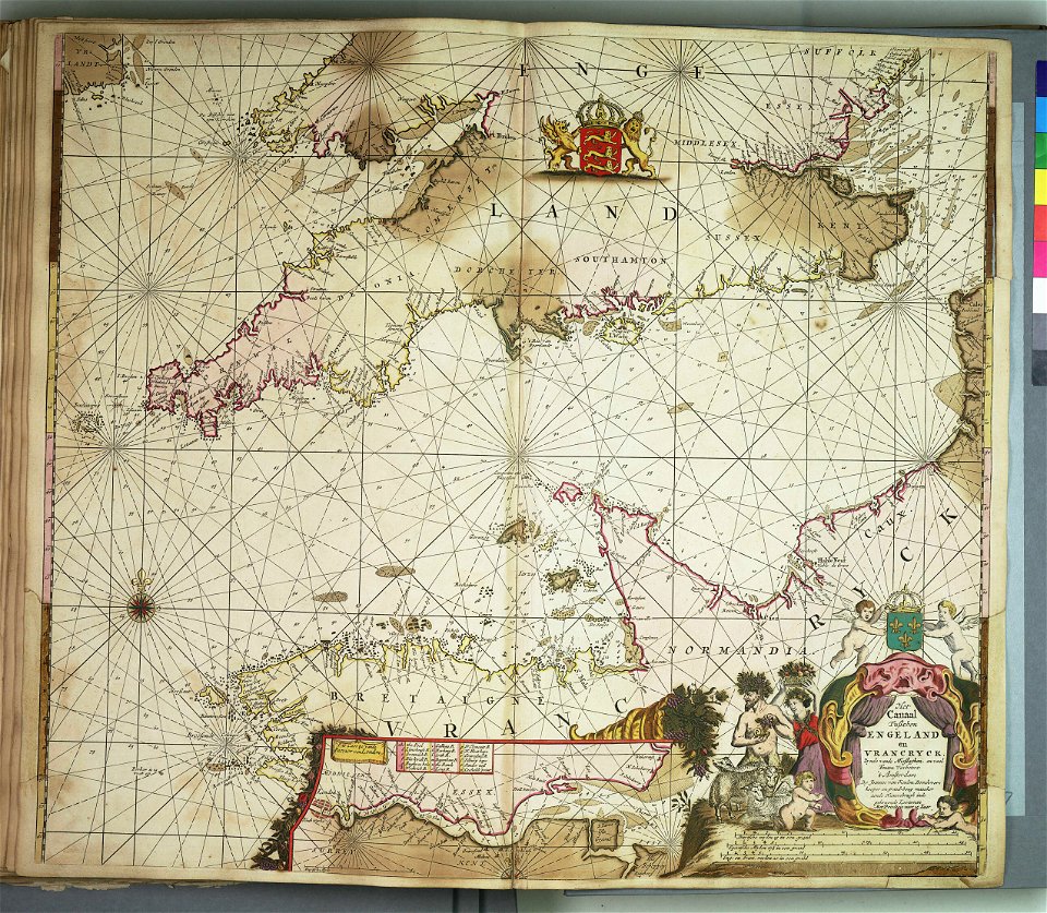
charts and maps of the royal museums greenwich
old maps of mecklenburg
atlas maior
bird's eye view maps of virginia
charles magnus
geographical illustrations by coronelli
old maps of the peloponnese
scans by the library of geneva
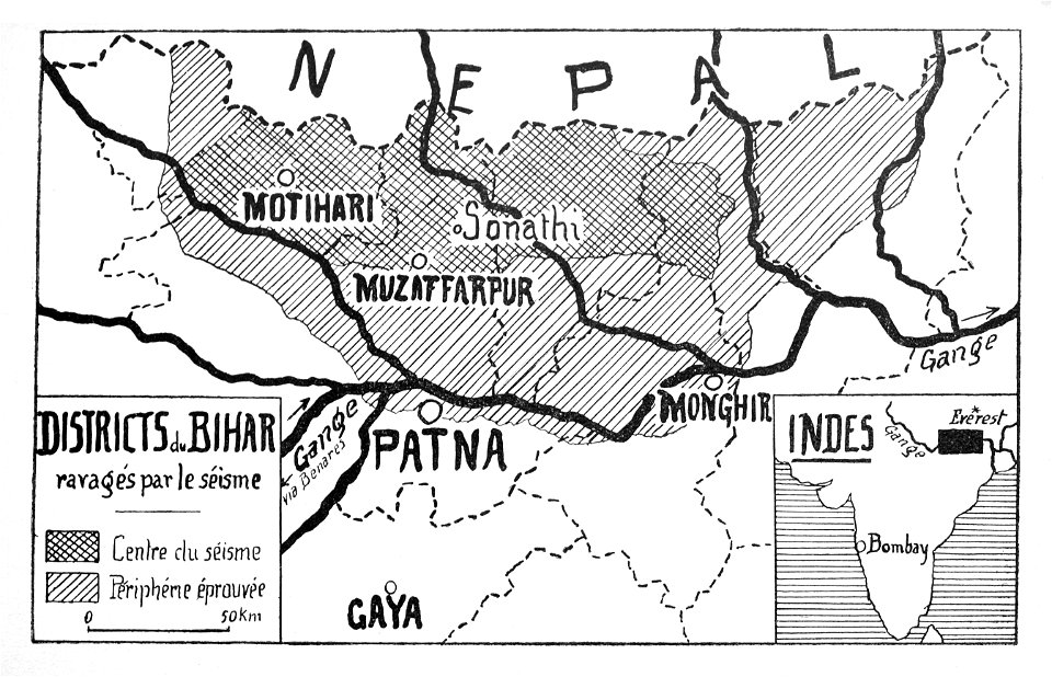
maps of bihar
maps by willem and johannes blaeu
copper engraving
historical images of macau
old maps of macau
atlante veneto (raremaps.com) volume 1
old celestial maps
atlante veneto (raremaps.com) volume 2
old maps of russia
atlante veneto (raremaps.com) volume 2
old maps of sardinia
atlante veneto (raremaps.com) volume 2
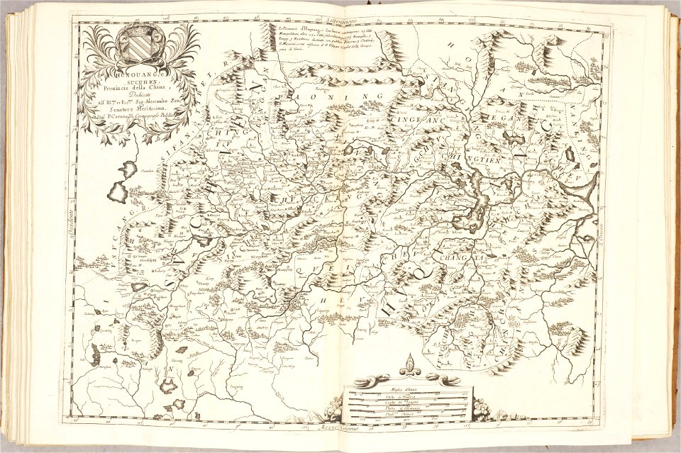
old maps of china
atlante veneto (raremaps.com) volume 2
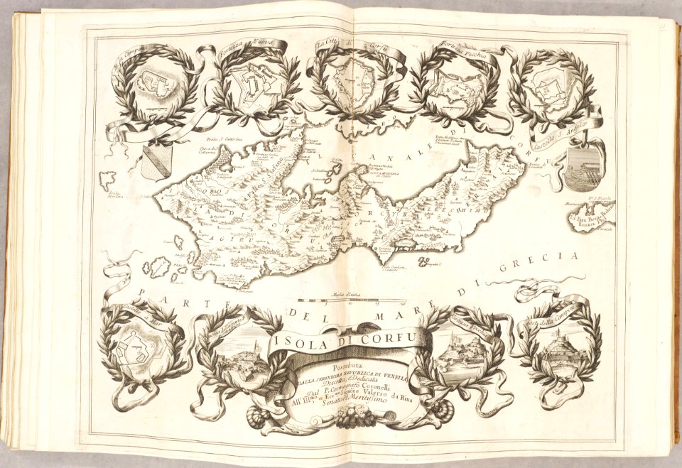
old maps of corfu
atlante veneto (raremaps.com) volume 2
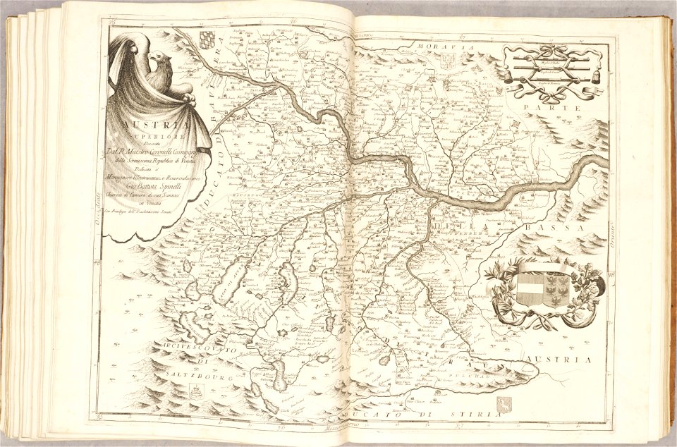
old maps of austria
atlante veneto (raremaps.com) volume 2
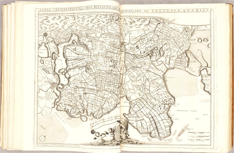
1690s maps of the netherlands
atlante veneto (raremaps.com) volume 2
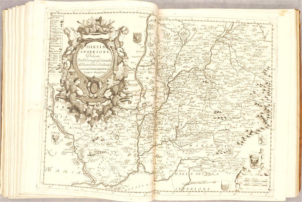
old maps of silesia
atlante veneto (raremaps.com) volume 2
old maps of scotland
atlante veneto (raremaps.com) volume 2
old maps of china
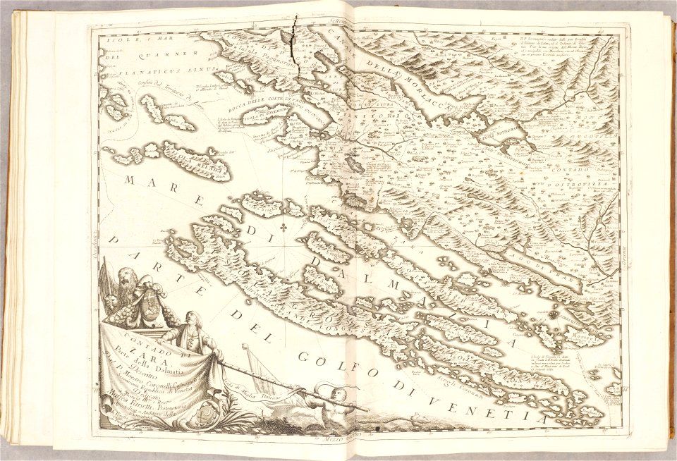
atlante veneto (raremaps.com) volume 2
old maps of croatia
maps made in the 17th century
history of wolin
map of bruges by marcus gheeraerts (i)
gracht
geographical illustrations by coronelli
old maps of the peloponnese
media needing categories as of 27 february 2019
map of maastricht by willem and johannes blaeu (1649)
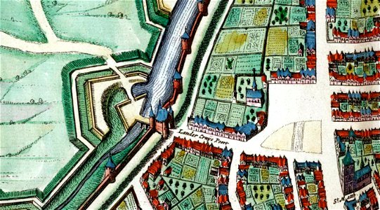
lindenkruispoort (maastricht)
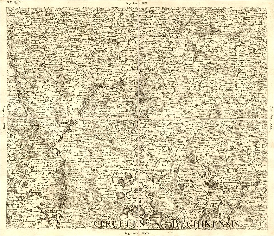
müller's map of bohemia
bechyňský kraj
geographical illustrations by coronelli
old maps of the peloponnese
geographical illustrations by coronelli
old maps of the peloponnese
johann christoph müller
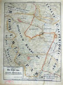
maps of rumburk
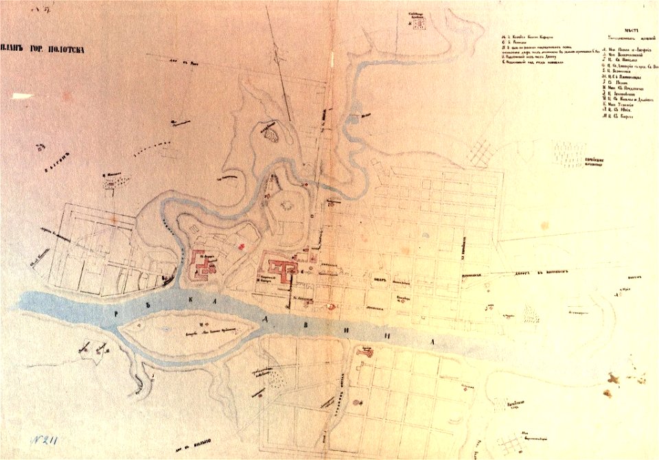
paintings of połacak by dmitry strukov
old maps of polotsk
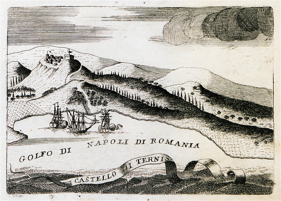
russie by jean-marie chopin - caucasus
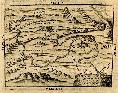
history of armenia
maps in the stadsarchief amsterdam
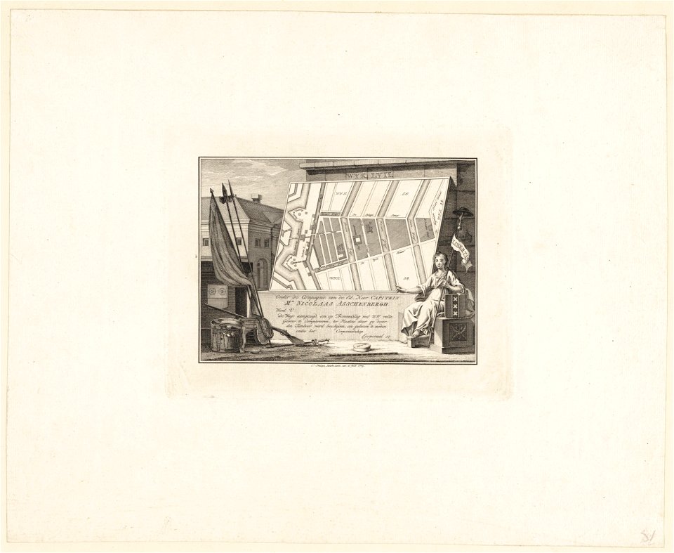
caspar philips
history of argentina from independence to the constitution of 1853
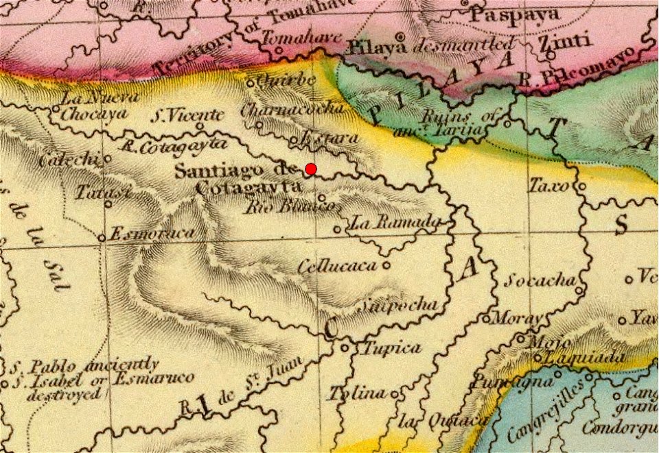
maps by john pinkerton
history of argentina from independence to the constitution of 1853
maps by john pinkerton
popular science monthly illustrations/volume 31
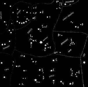
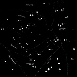
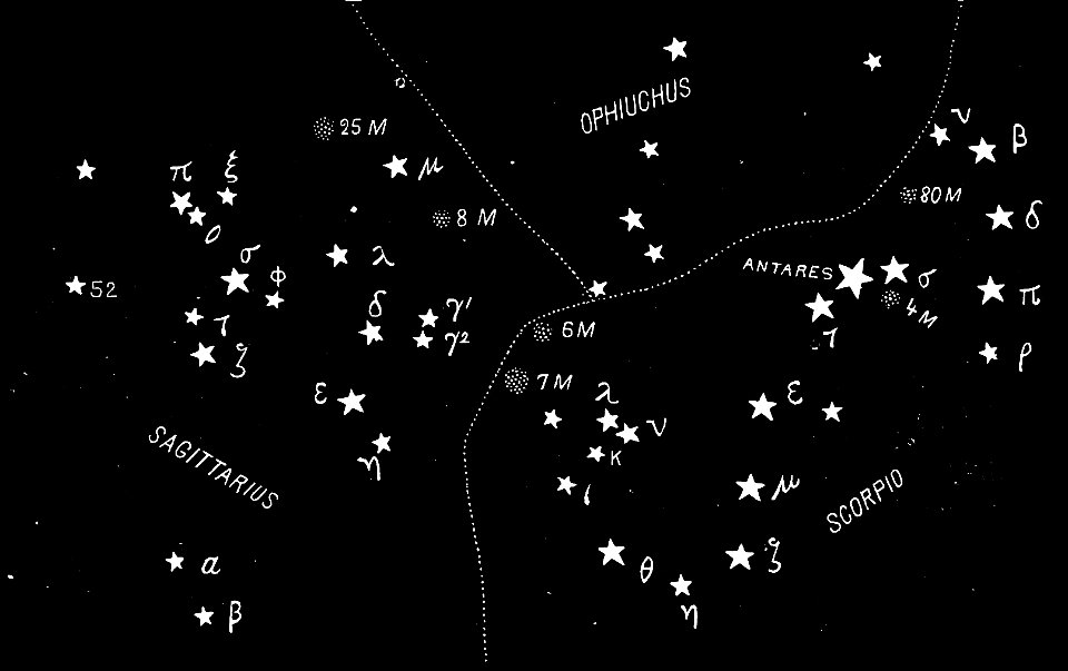
astronomical maps
popular science monthly illustrations/volume 31
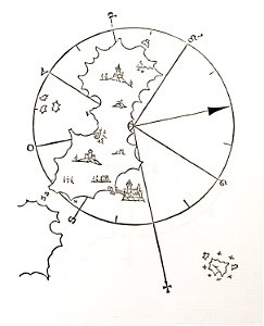
astronomical maps
popular science monthly illustrations/volume 31
astronomical maps
maps from the earth and its inhabitants, vol. vi
exploration of asia
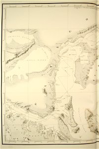
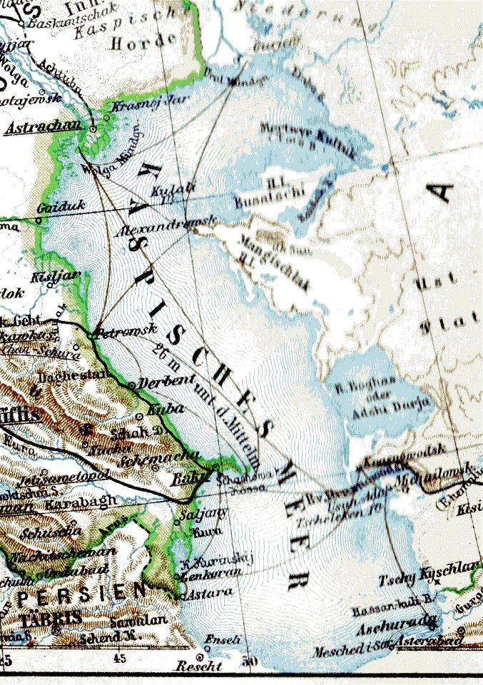
old maps of the caspian sea
demolished churches in de barbari map
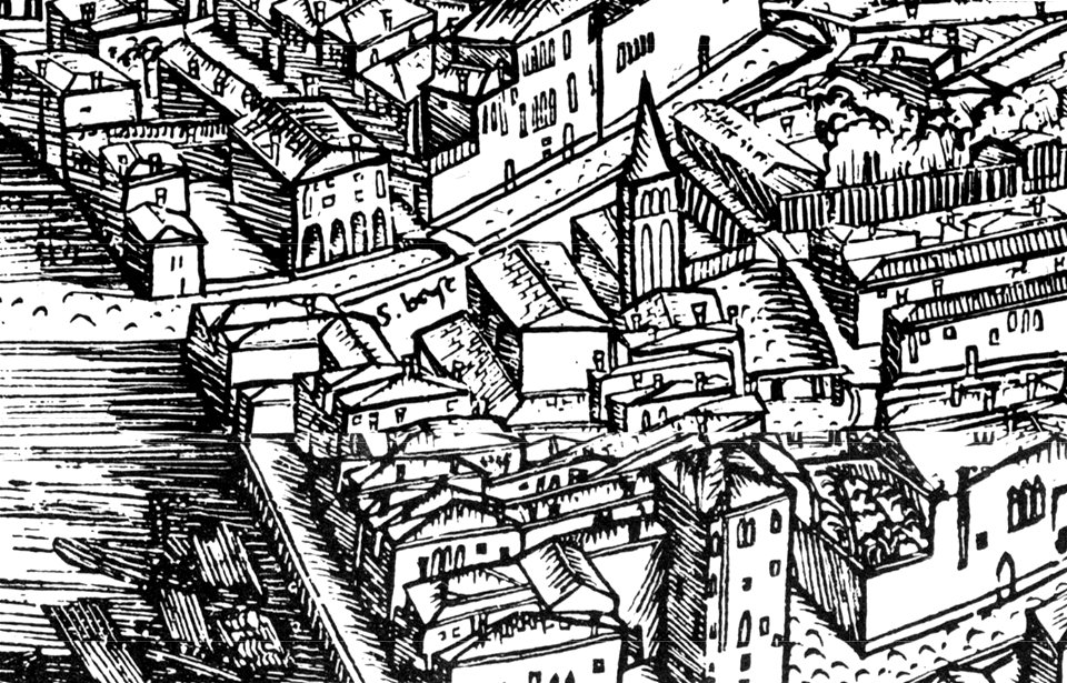
san basilio (venice)
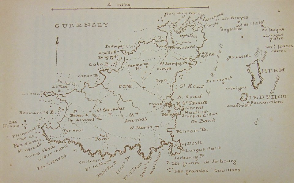
old maps of guernsey
walter cooper dendy
university of toronto wenceslas hollar digital collection
maps by wenzel hollar
map „das herzogthum nassau“ by j.b. fischer
1828
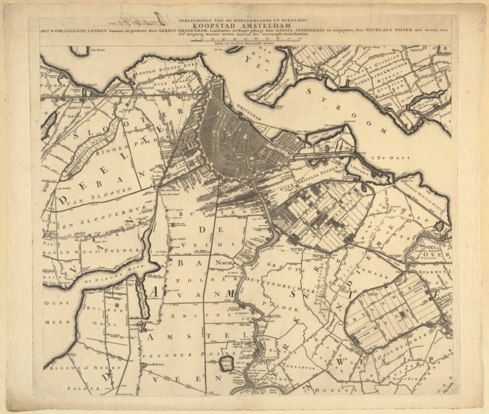
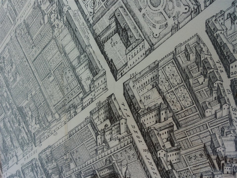
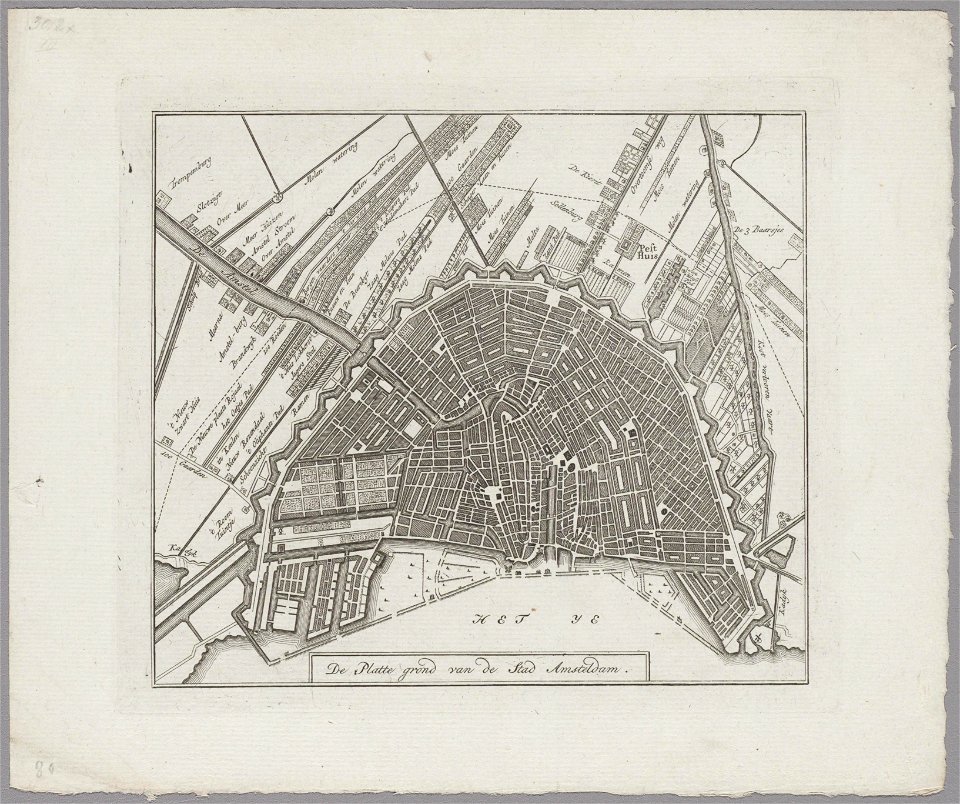
maps in the stadsarchief amsterdam
hendrik de leth
maps in the stadsarchief amsterdam
hendrik de leth
maps in the stadsarchief amsterdam
hendrik de leth
maps in the stadsarchief amsterdam
hendrik de leth
maps in the stadsarchief amsterdam
hendrik de leth
maps in the stadsarchief amsterdam
hendrik de leth
maps in the stadsarchief amsterdam
hendrik de leth
maps in the stadsarchief amsterdam
hendrik de leth
maps by gustav adolf von varendorf
dove elbe
maps in the stadsarchief amsterdam
jan caspar philips
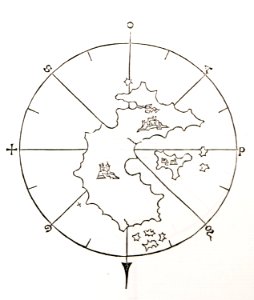
old maps of islands of the aegean sea
bartolommeo dalli sonetti
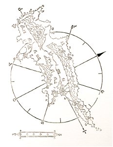
old maps of islands of the aegean sea
bartolommeo dalli sonetti
old maps of islands of the aegean sea
bartolommeo dalli sonetti
old maps of islands of the aegean sea
bartolommeo dalli sonetti
geographical illustrations by coronelli
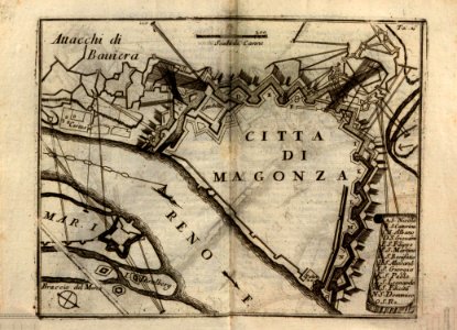
historical maps of mainz
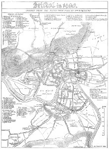
images from bristol past and present (1882)
old maps of bristol
atlas of the russian empire (1800)
maps of kazan governorate
8201 - 8300 of 38,713
Next page
/ 388