Log in
All resources
Create a design
38,713 Free Artworks of Map
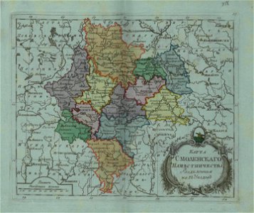
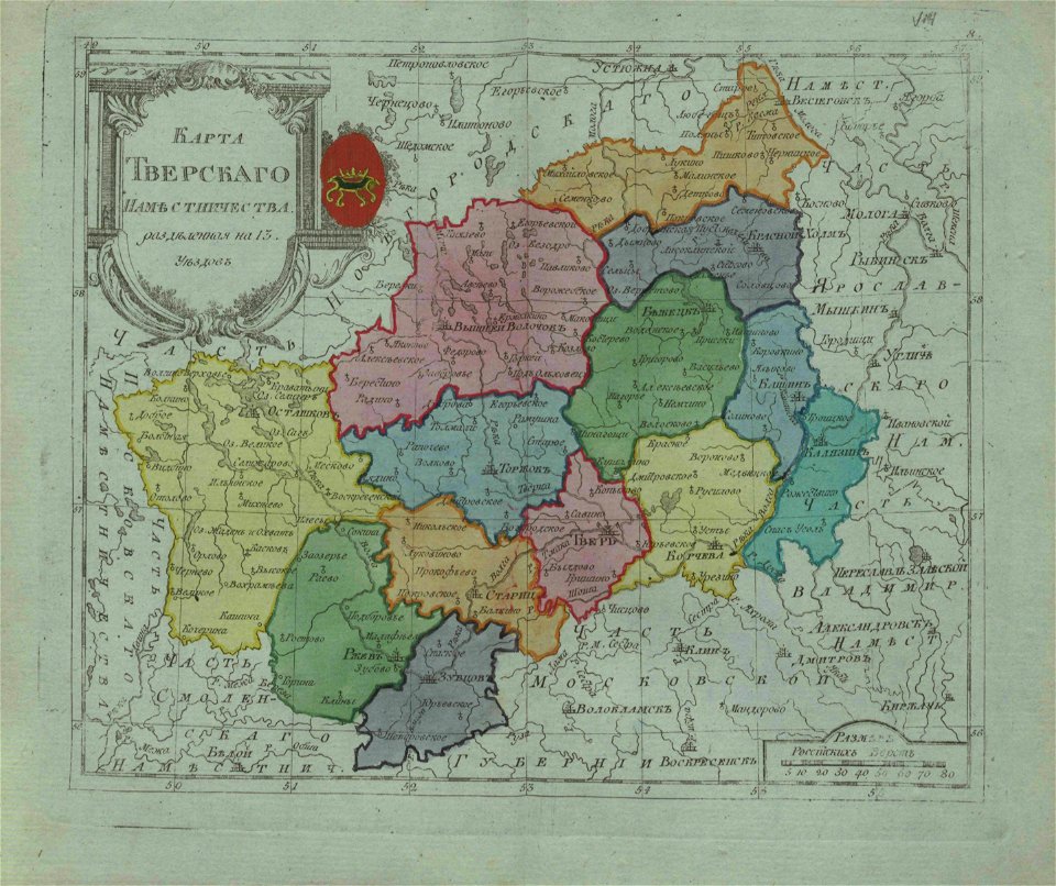
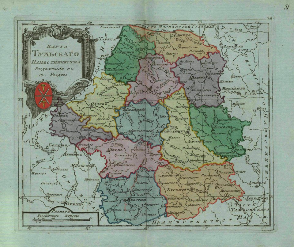
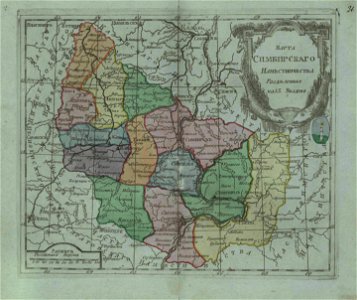
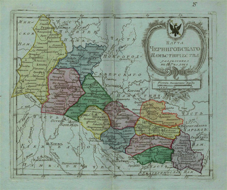
small atlas of the russian empire (1796)
maps in the library of congress
carte de france
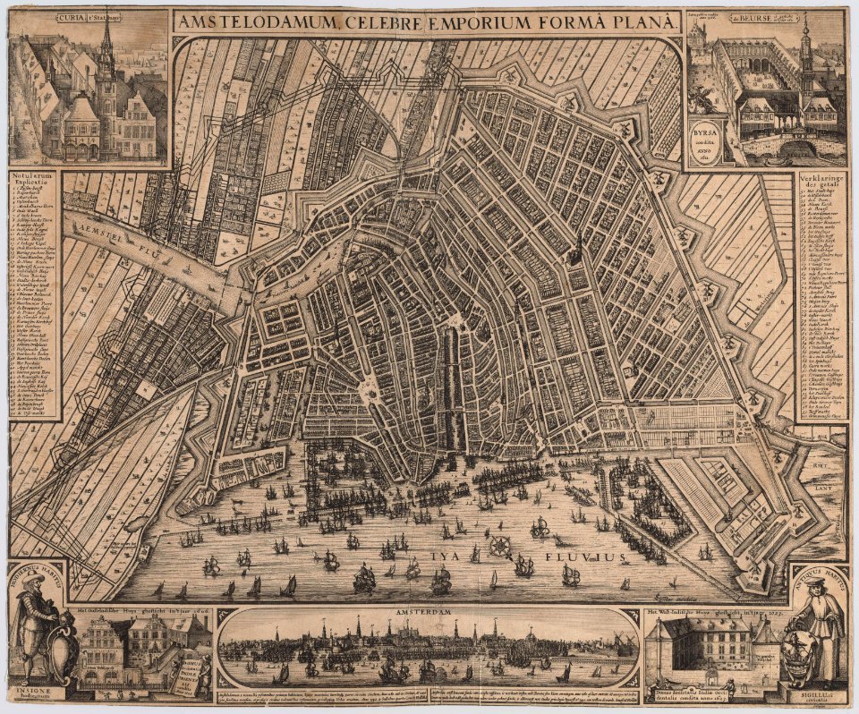
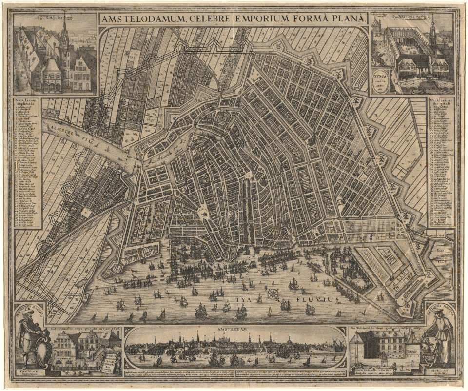
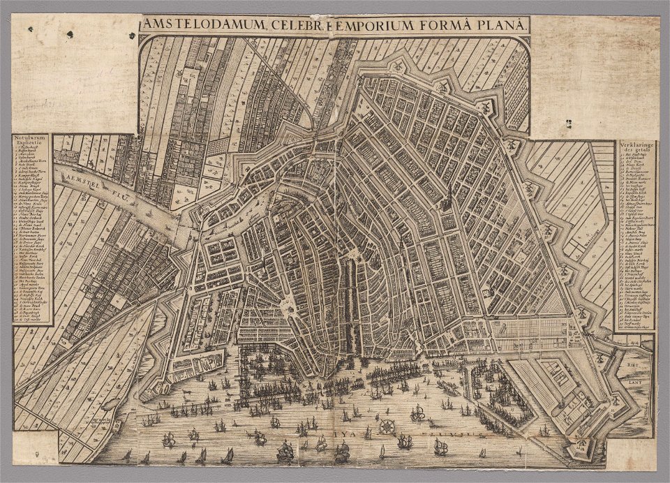
maps in the stadsarchief amsterdam
everett d. graff collection of western americana
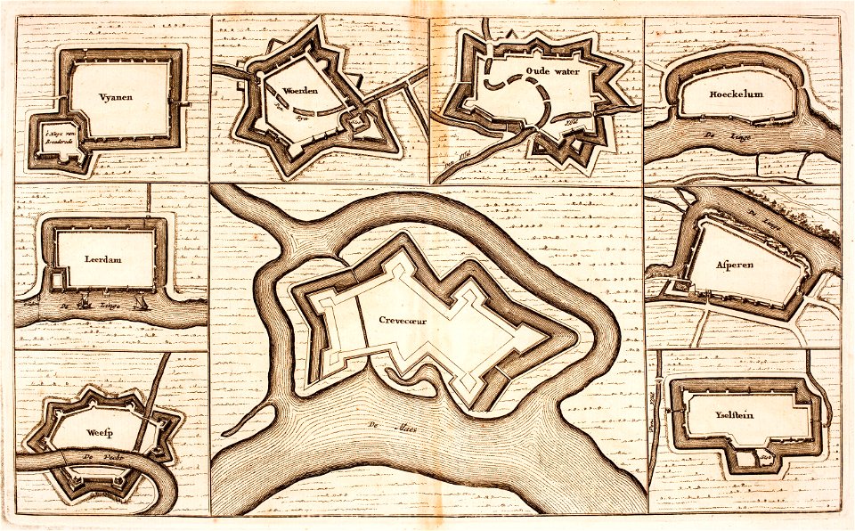
description des principales villes (1690)
gerard valck
maps with cartouches
atlas van der hagen
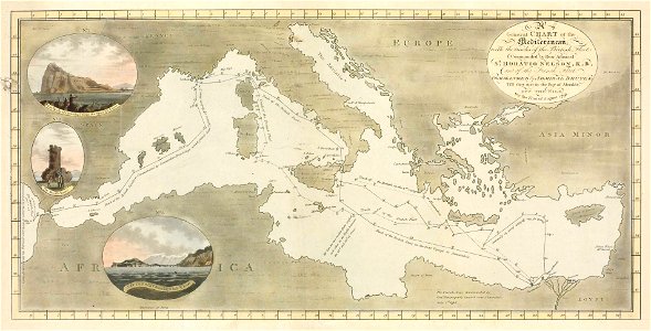
charts and maps of the royal museums greenwich
images from the new student's reference work
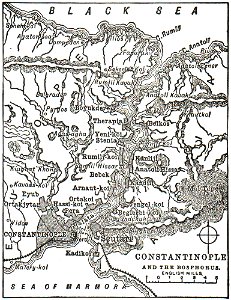
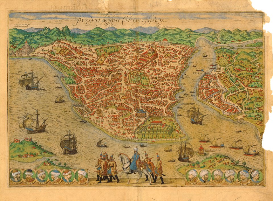
maps of constantinople
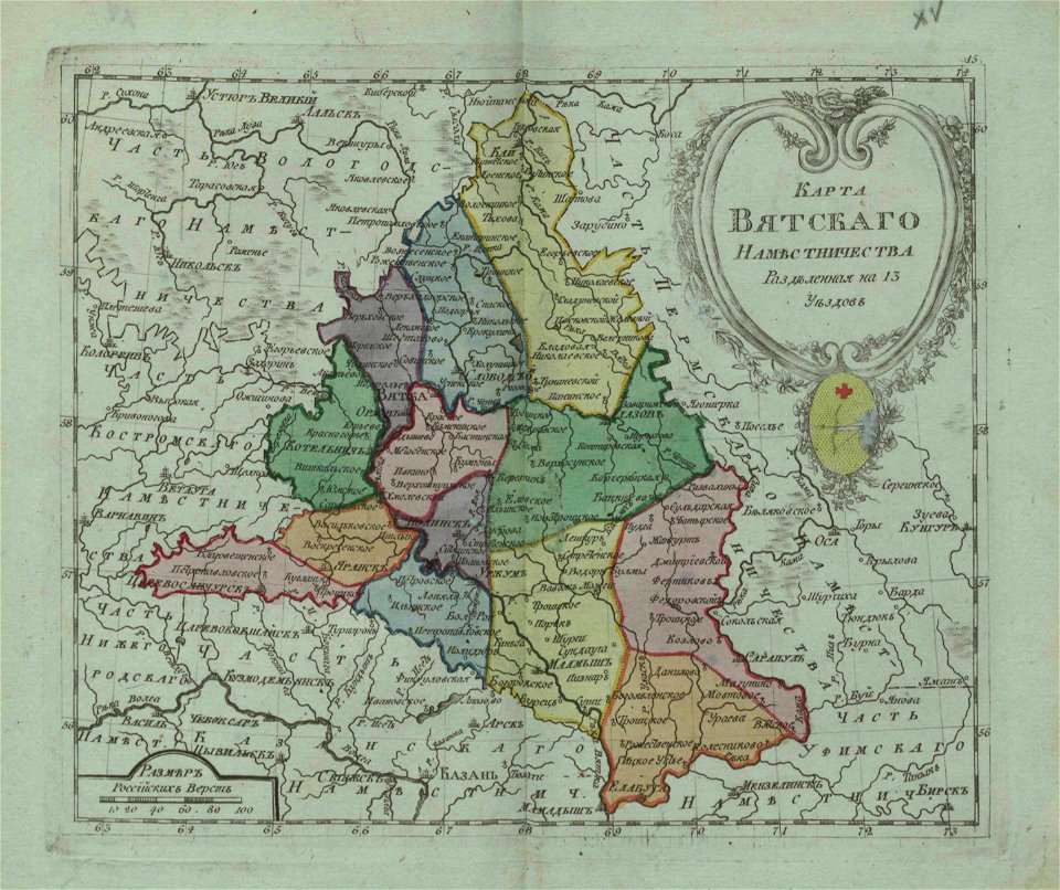
small atlas of the russian empire (1796)
small atlas of the russian empire (1796)
small atlas of the russian empire (1796)
small atlas of the russian empire (1796)
small atlas of the russian empire (1796)
small atlas of the russian empire (1796)
description de l'universe
northern europe
travels to and from constantinople (1829)
everett d. graff collection of western americana
everett d. graff collection of western americana
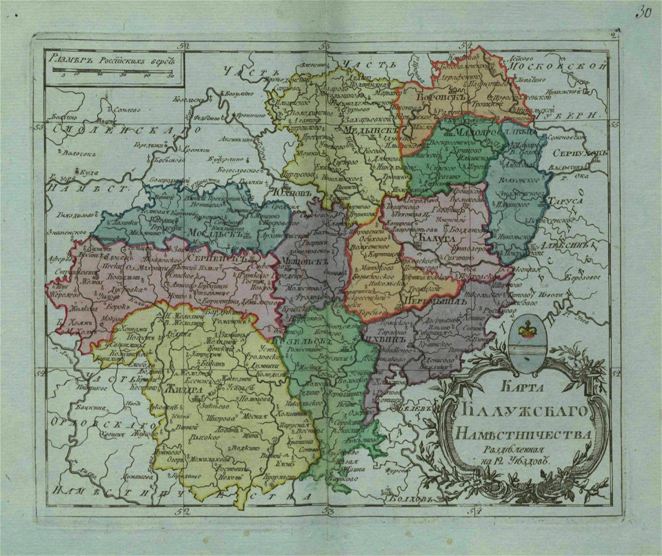
small atlas of the russian empire (1796)
small atlas of the russian empire (1796)
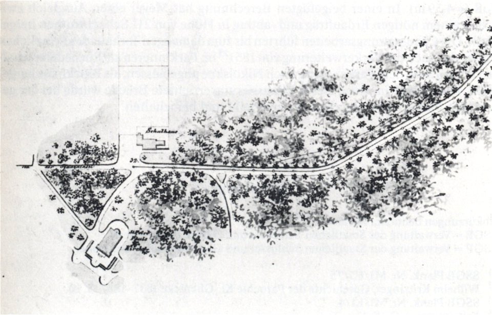
maps of berlin-wannsee
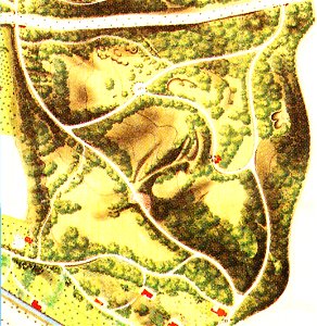
böttcherberg
illustrations from letters from england
maps of ireland
charts and maps of the royal museums greenwich
joan martines
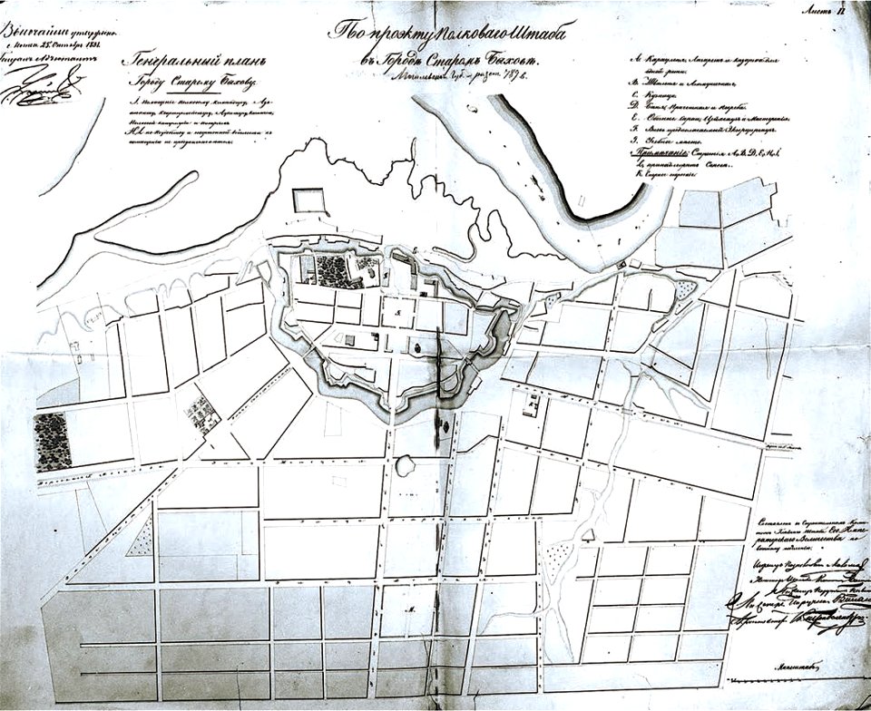
historical images of bychaŭ
plans of bychaŭ castle
old maps of istanbul
braun & hogenberg
people with maps in art
max gaisser
niedersächsisches landesarchiv
historical maps of lüneburg
small atlas of the russian empire (1796)
geographical illustrations by coronelli
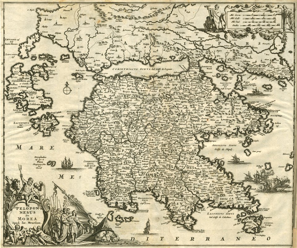
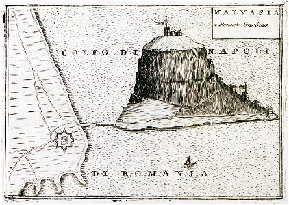
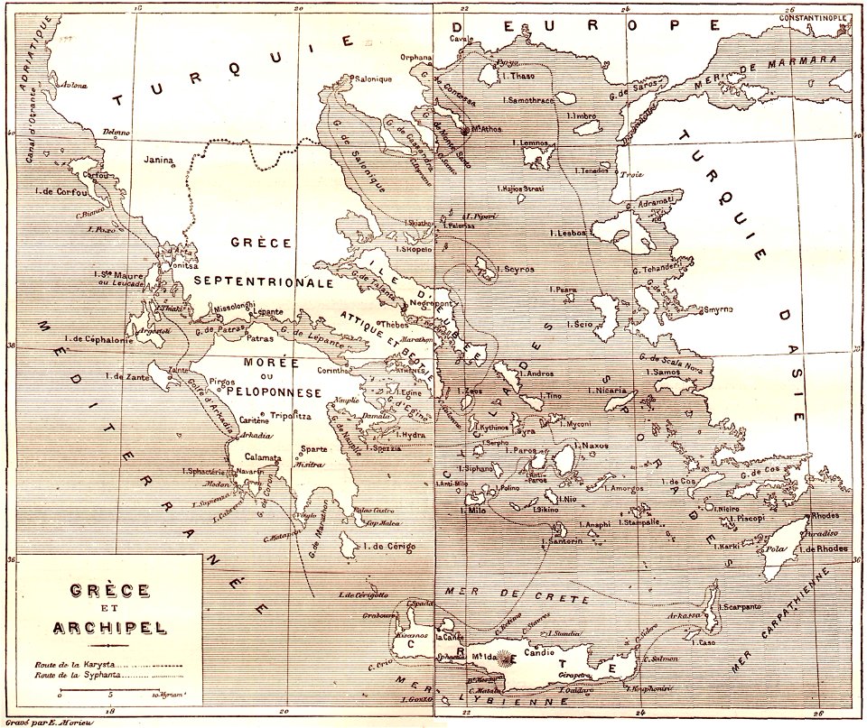
old maps of the peloponnese
description des principales villes (1690)
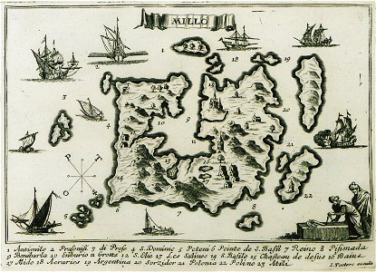
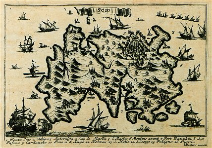
maps of milos
liber insularum archipelagi (royal museums greenwich)
maps of milos
nikolskoe (berlin)
1848 maps
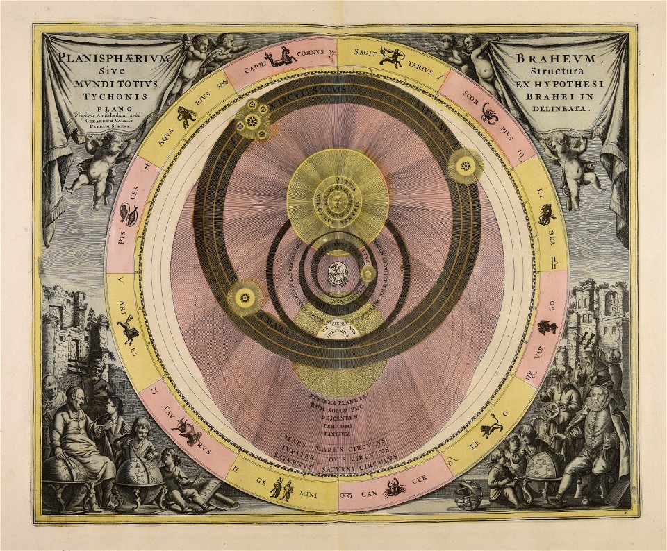
cosmographia (1600) by sebastian münster
old maps of florence
1897 maps of pennsylvania
geographical illustrations by coronelli
engravings of kythira
everett d. graff collection of western americana
everett d. graff collection of western americana
description des principales villes (1690)
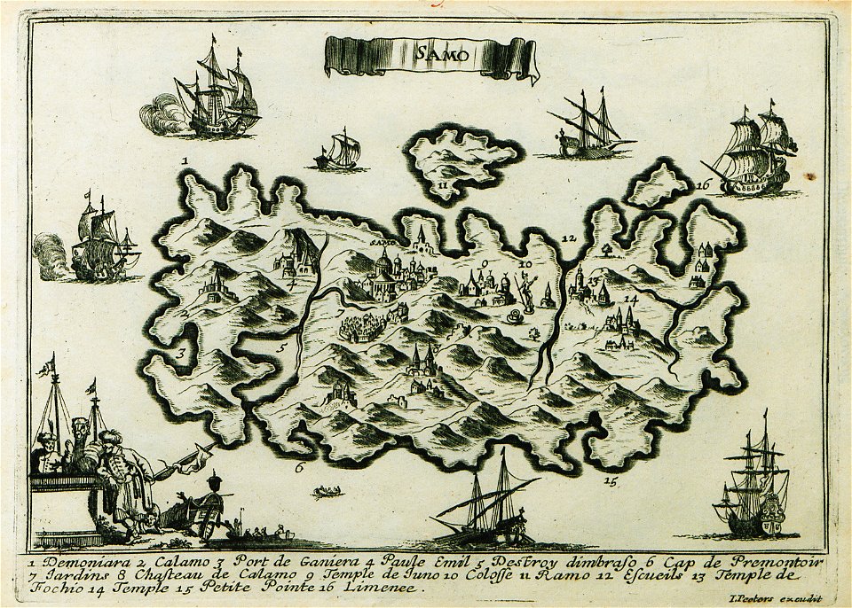
maps of samos
maps in the stadsarchief amsterdam
romeyn de hooghe
schauplatz der fünf theile der welt
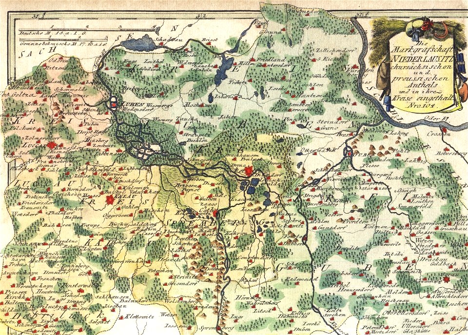
old maps of lusatia
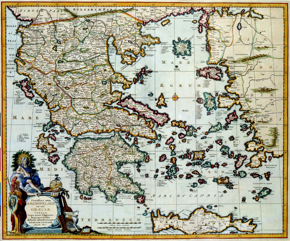
old maps of greece
olfert dapper
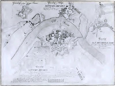
dresden (schumann)
innere neustadt
relation of a journey (sandys)
17th-century maps of jerusalem
charts and maps of the royal museums greenwich
people with maps in art
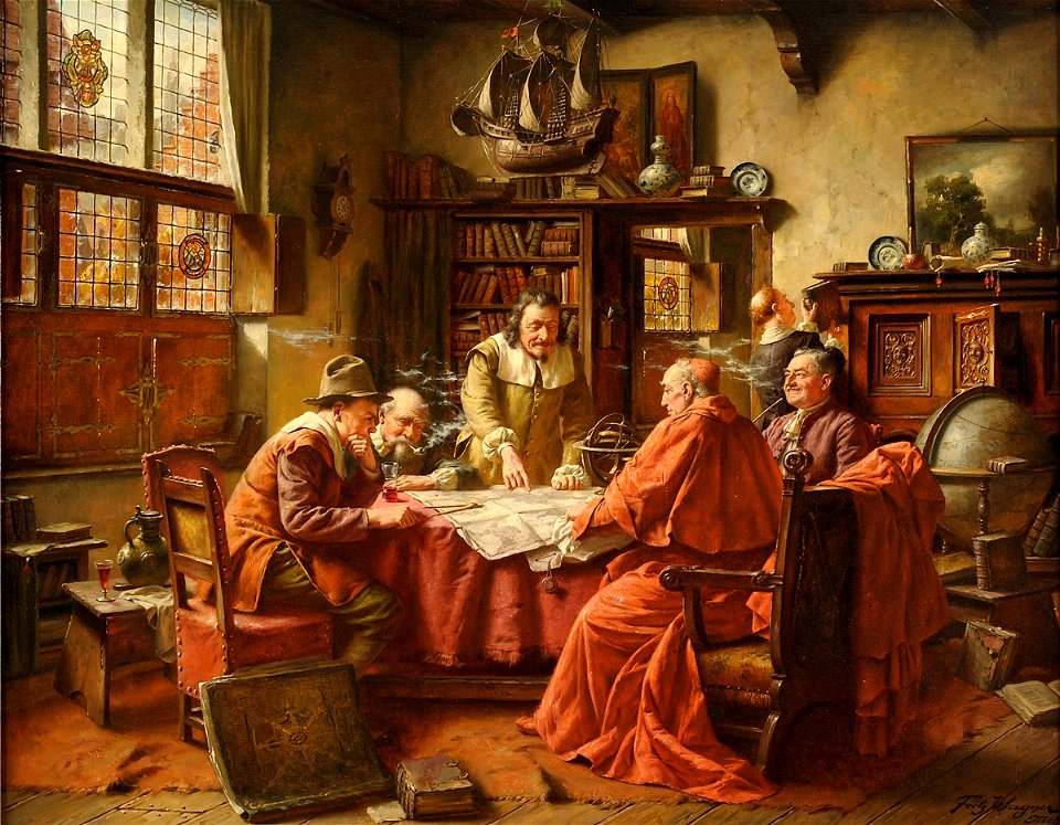
fritz wagner (painter)
map of ferrara by andrea bolzoni
map of ferrara by andrea bolzoni
description des principales villes (1690)
maps of chios
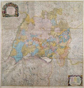
1750s maps of baden-württemberg
swabian circle
old maps of saint petersburg governorate
atlas of the russian empire (1792)
images from metropolitan museum of art (paris project)
jardin des plantes
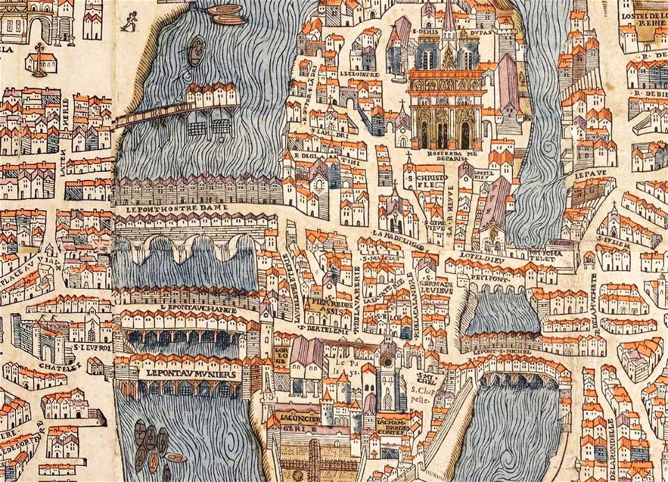
historical images of the pont saint-michel
rue de la huchette (paris)
gerard valck
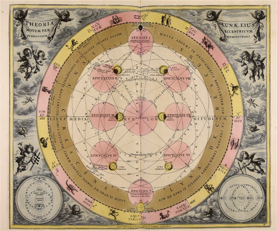
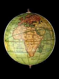
moon
maps with cartouches
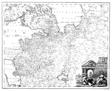
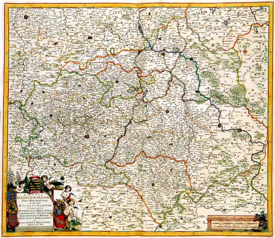
old maps of saxony
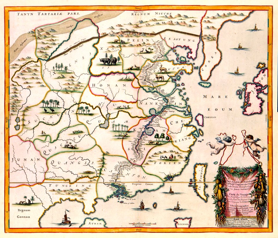
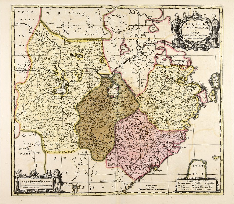
17th-century maps of china
maps with cartouches
maps made in the 18th century
gerard valck
maps made in the 17th century
gerard valck
artworks without wikidata item
17th-century prints
italy
grado
maps of paris from paris musées
plan de jaillot (1775)
schloss friedenstein (gotha)
gotha
maps in utrecht university library
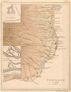
indonesia
maps with cartouches
atlas van der hagen
maps with cartouches
old maps of greece
fonds ancely - bibliothèque municipale de toulouse - maps
françois arago
printing
london
maps made in the 18th century
gerard valck
chromolithograph
new york city
chromolithograph
new york city
utrecht
leerdam
engravings of topographia bohemiae moraviae et silesiae
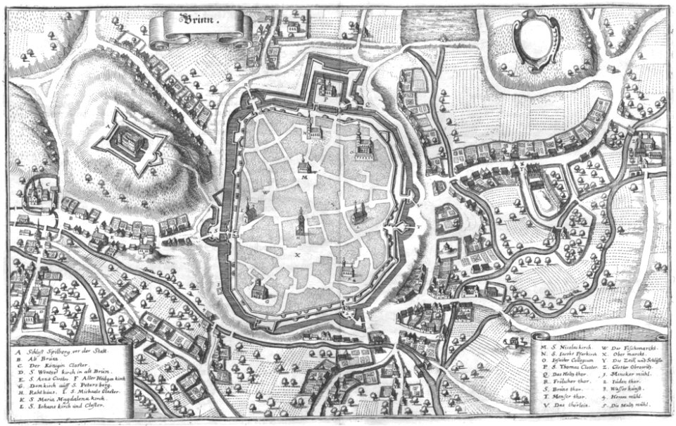
old maps of brno
maps by gerardus mercator
ursa major in art
walter cooper dendy
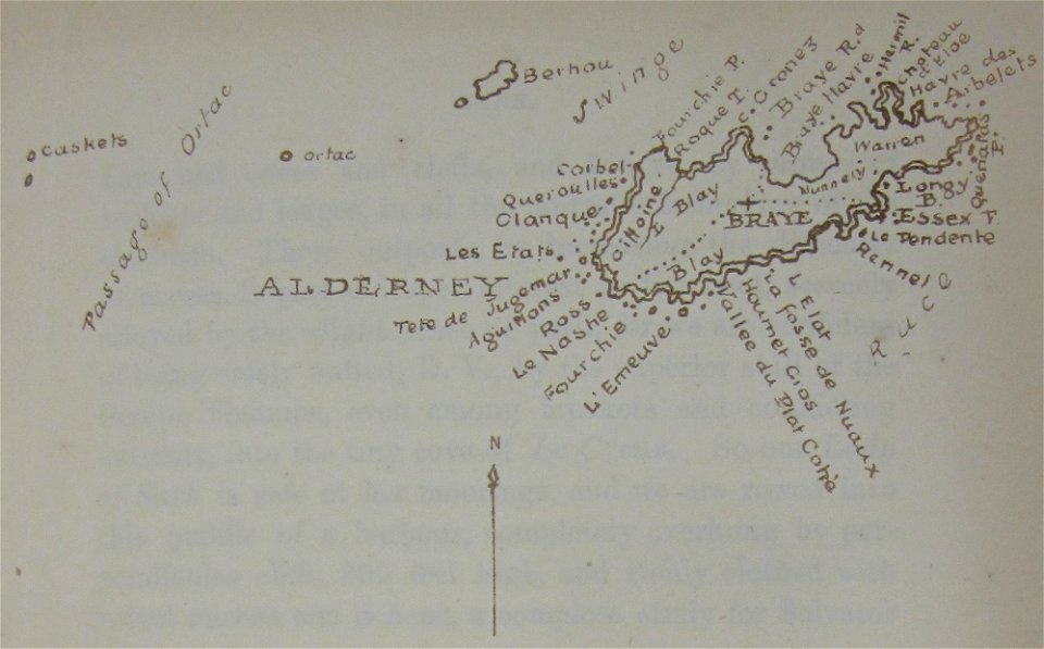
maps of alderney
old maps of saint petersburg governorate
atlas of the russian empire (1800)
ducatus sleswicum sive justia australis
germany
1828
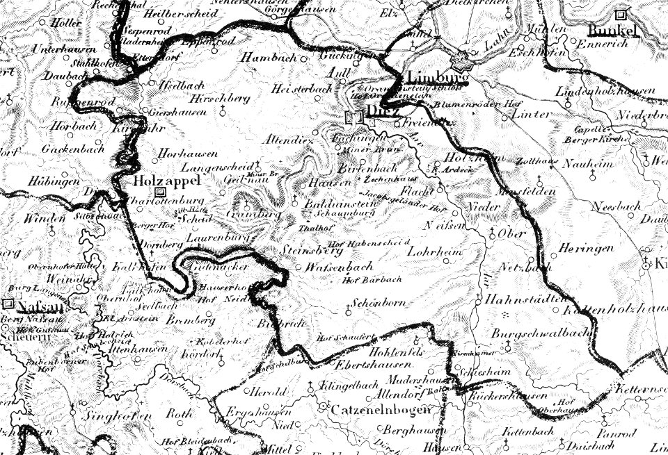
diez
nastätten
1828
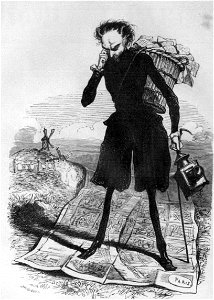
grandville (caricaturist)
people with maps in art
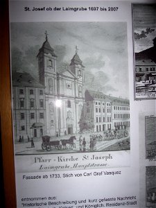
vignettes in 1830 vienna map series by carl graf vasquez
laimgrubenkirche
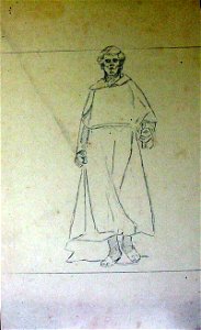
drawings in the museu antônio parreiras
charts and maps of the royal museums greenwich
geographical illustrations by coronelli
old maps of the peloponnese
illustrations of meroe pyramids
lepsius-projekt - maps
engravings of topographia bohemiae moraviae et silesiae
history of kolín
engravings of topographia bohemiae moraviae et silesiae
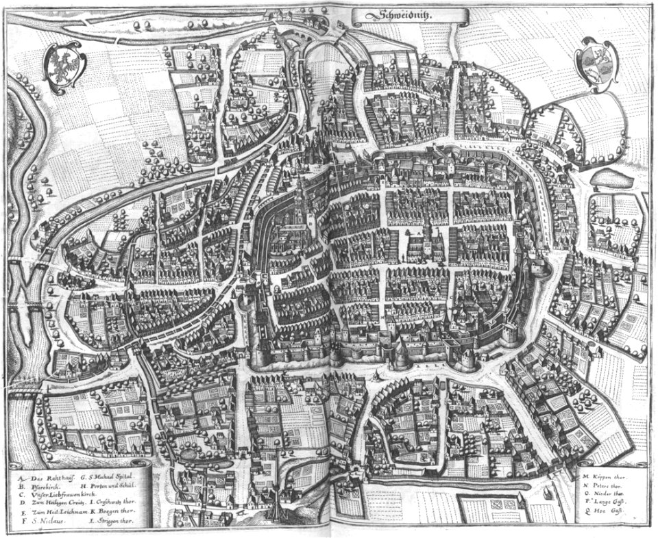
maps of świdnica
german prints in the rijksmuseum amsterdam
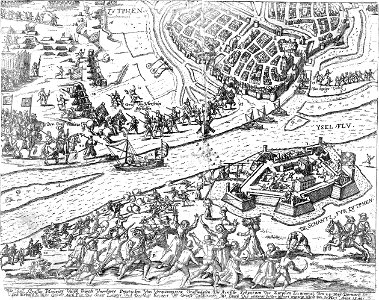
old maps of zutphen
17th-century maps of the world
description de l'universe
illustrations from the archipelago on fire by léon benett
old maps of greece
maps in the stadsarchief amsterdam
daniël veelwaard (i)
maps in the stadsarchief amsterdam
daniël veelwaard (i)
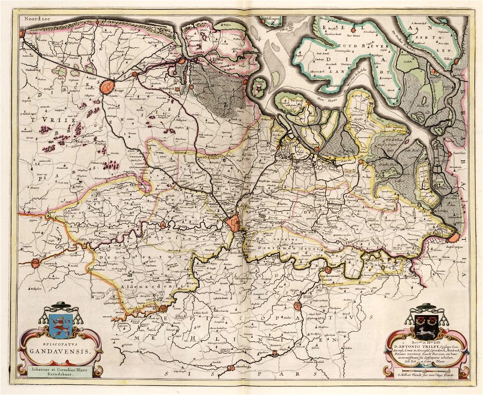
old maps of ghent
atlas van loon
maps and topographical views by joris hoefnagel
castle of szolnok
östra yttringe gård
yttringe
description des principales villes (1690)
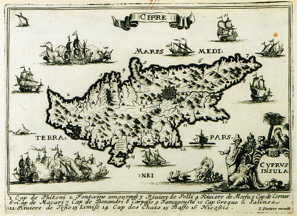
old maps of cyprus
maps in the stadsarchief amsterdam
claes jansz. visscher (ii)
maps in the stadsarchief amsterdam
claes jansz. visscher (ii)
maps in the stadsarchief amsterdam
claes jansz. visscher (ii)
bibliothèque municipale de reims
rès. g 152
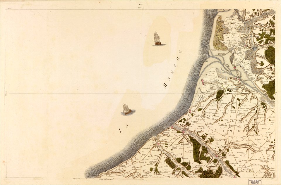
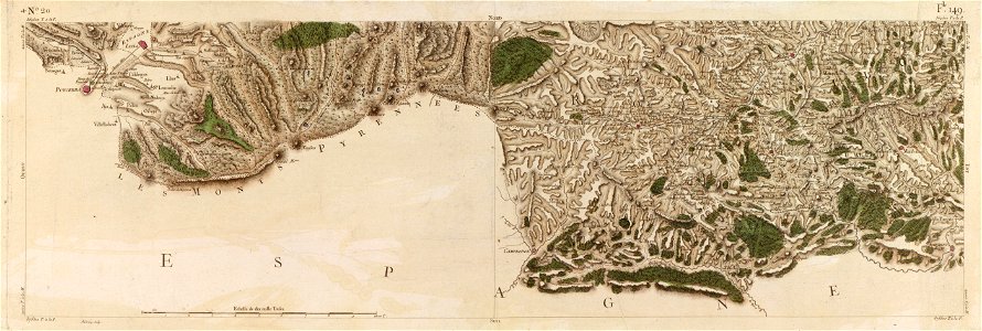
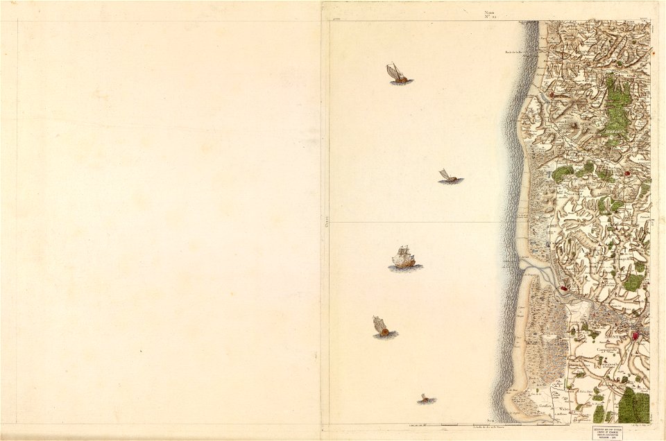
maps in the library of congress
carte de france
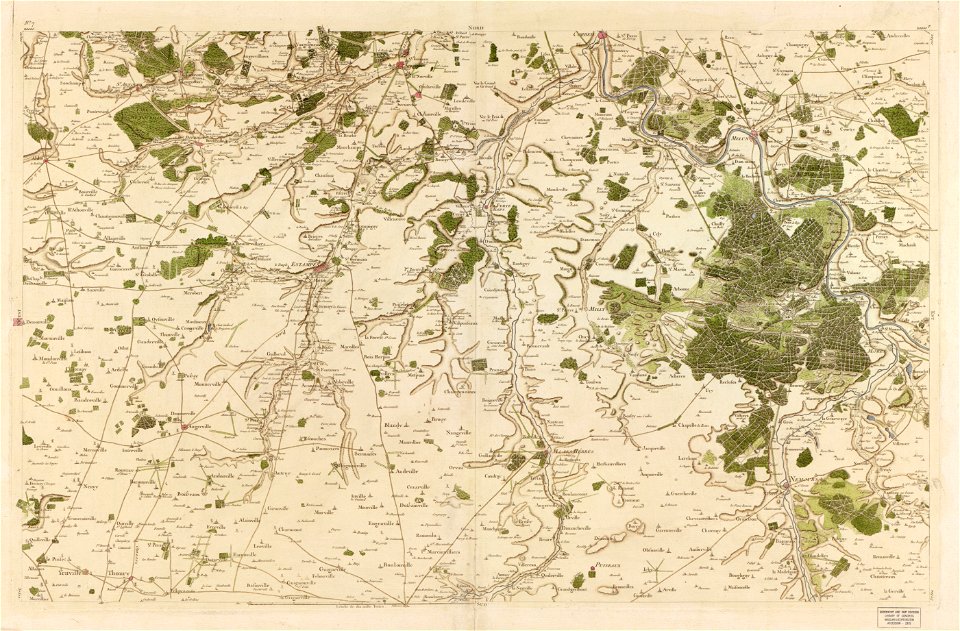
maps in the library of congress
carte de france
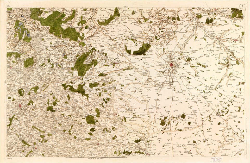
maps in the library of congress
carte de france
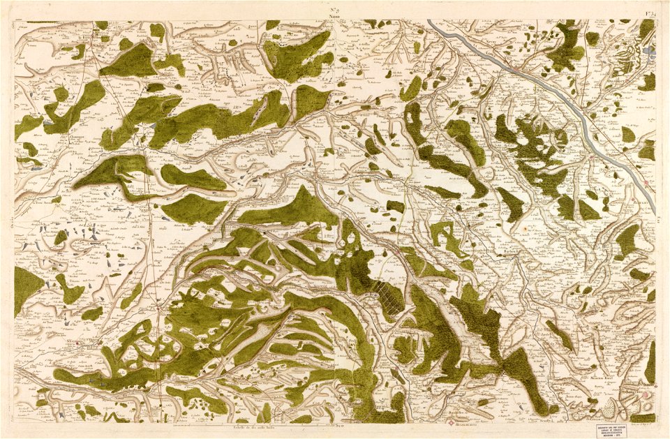
maps in the library of congress
carte de france
maps in the library of congress
carte de france
maps in the library of congress
carte de france
maps in the library of congress
carte de france
maps in the library of congress
carte de france
maps in the library of congress
carte de france
7701 - 7800 of 38,713
Next page
/ 388