Log in
All resources
Create a design
38,713 Free Artworks of Map
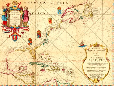
maps by pieter schenk (i)
gerard valck
maps made in the 17th century
atlantis magni tomus quintus (biblioteca comunale di trento)
maps made in the 18th century
maps with cartouches
atlas van der hagen
old celestial maps
atlantis magni tomus primus (biblioteca comunale di trento)
atlantis magni tomus quartus (biblioteca comunale di trento)
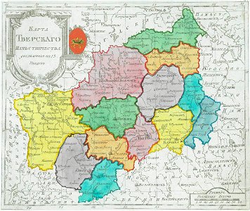
maps of tver governorate
tver viceroyalty
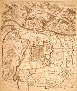
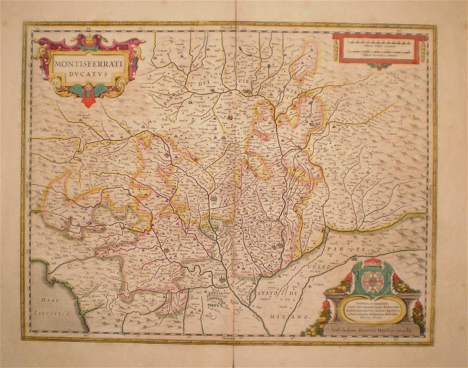
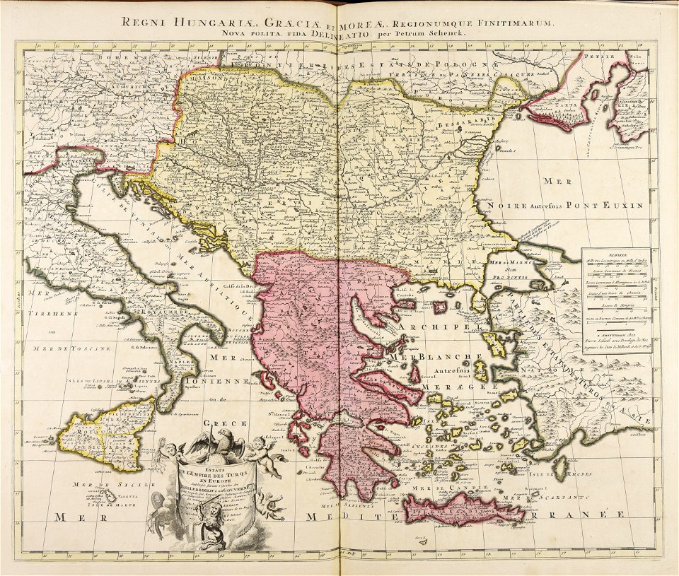
old maps of turin
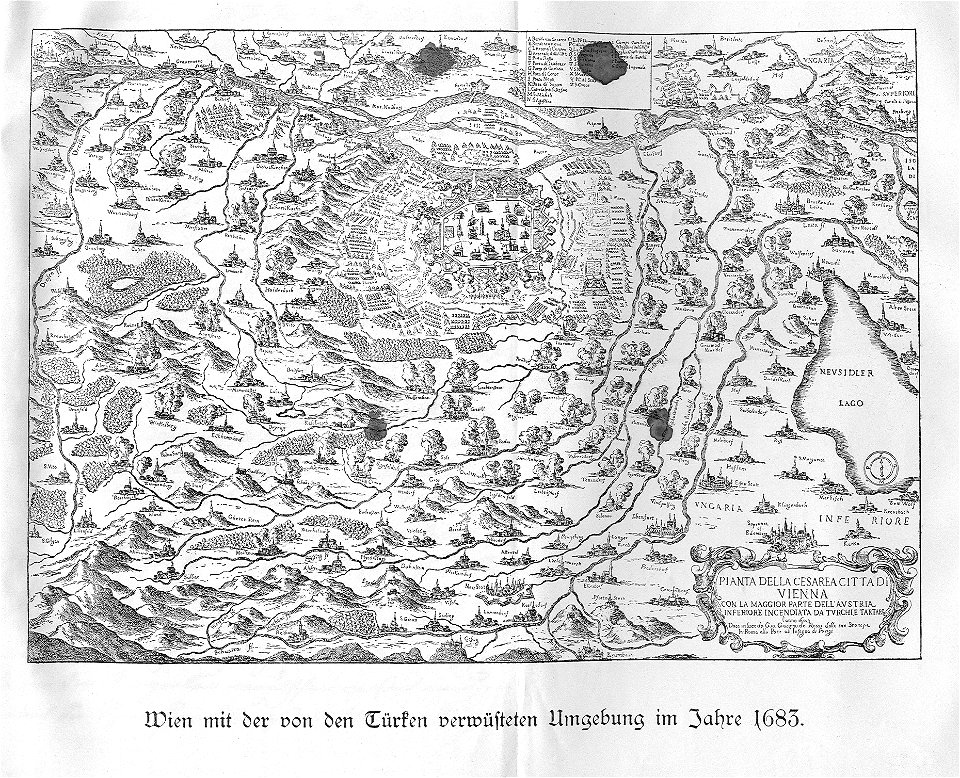
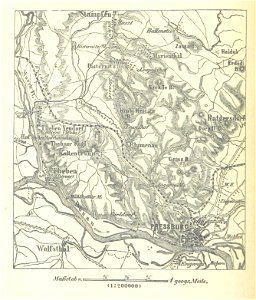
old maps of lower austria
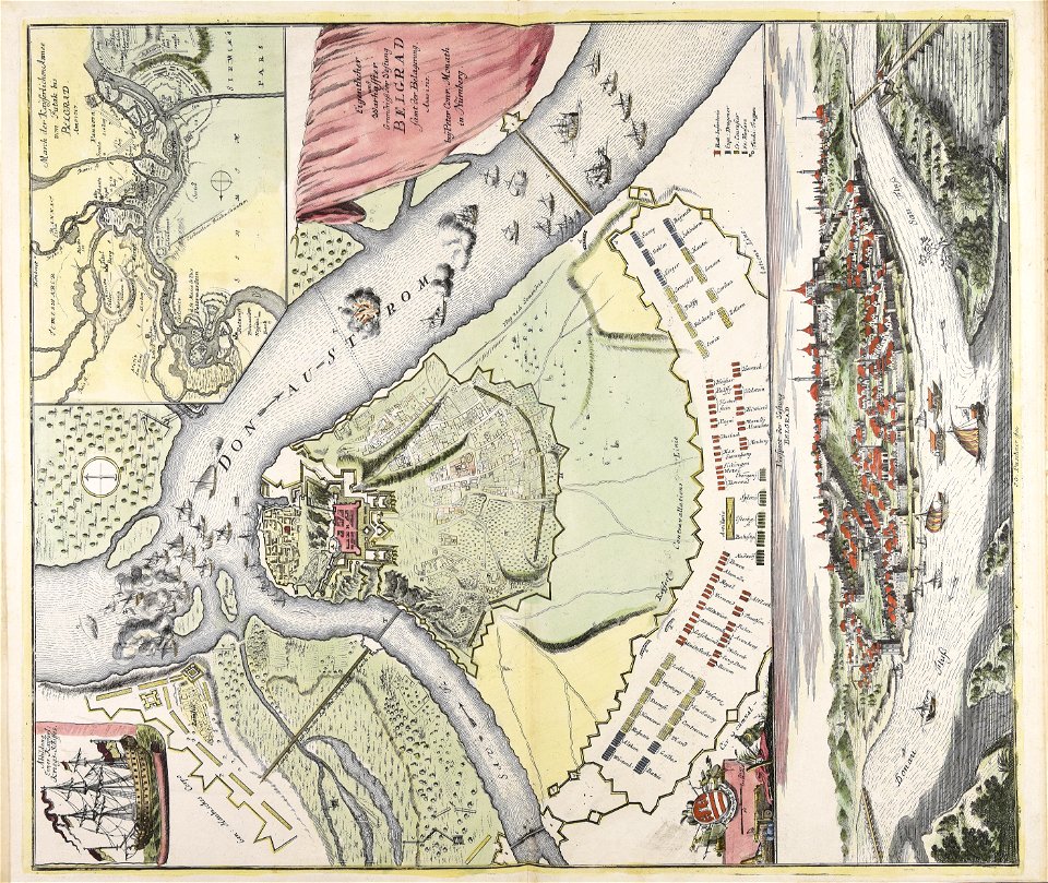
battle of vienna
paintings in the museu antônio parreiras
drawings (documentary) collection in the library of congress
map of trier by braun & hogenberg
engravings of topographia saxoniae inferioris
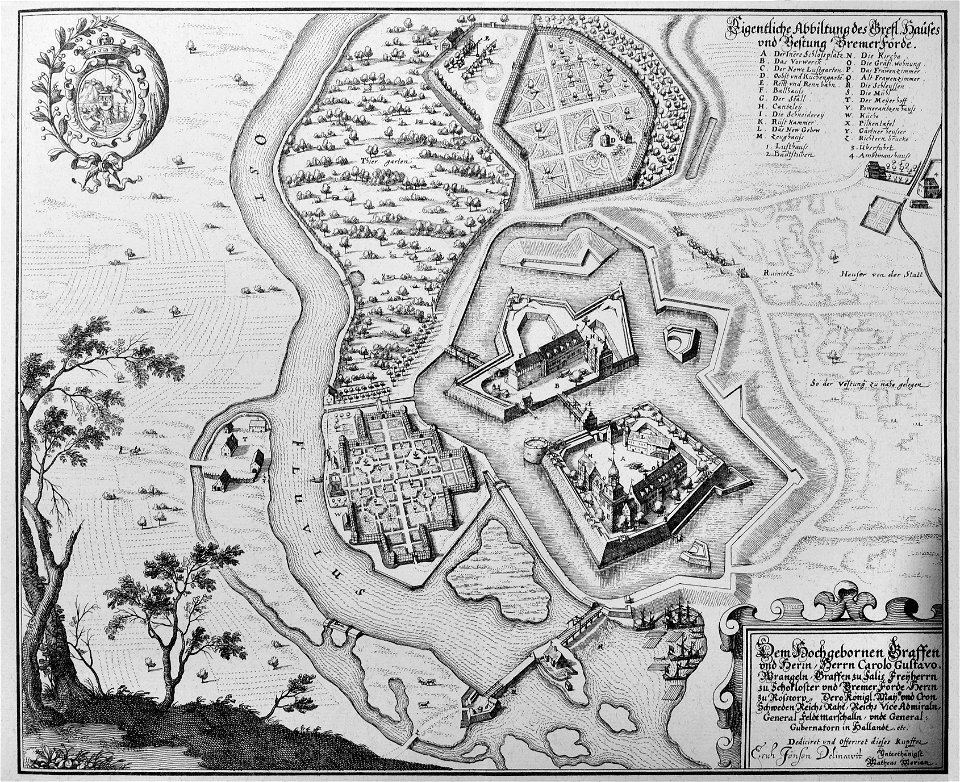
maps of bremervörde
1596
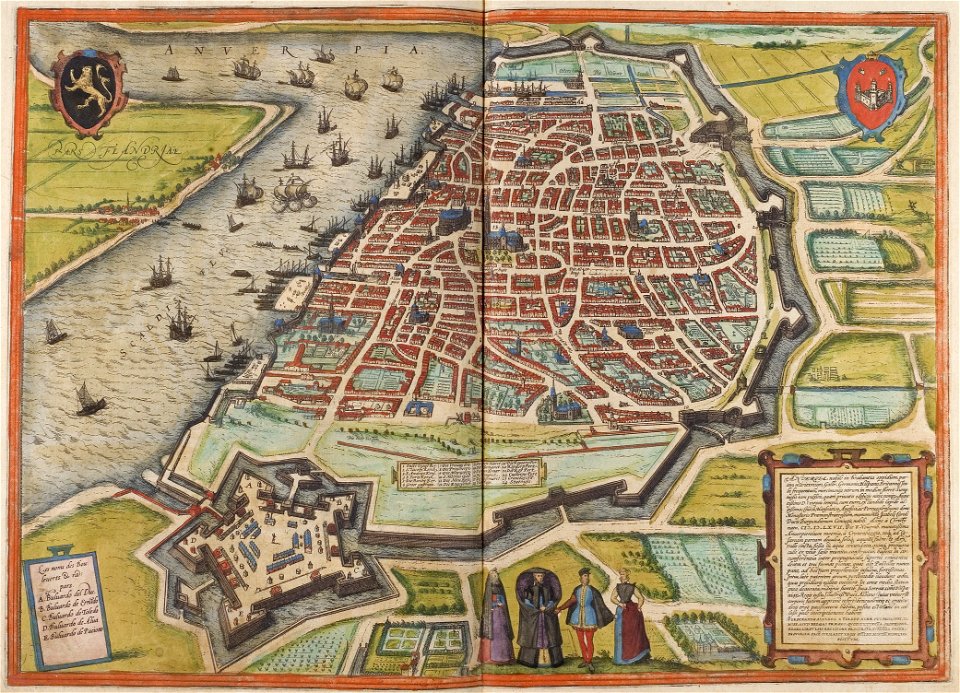
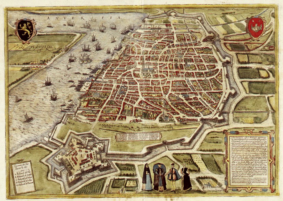
maps of antwerp by braun & hogenberg
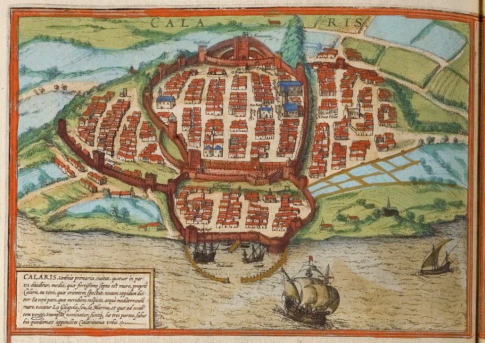
old maps of cagliari
braun & hogenberg
maps of brussels by braun & hogenberg
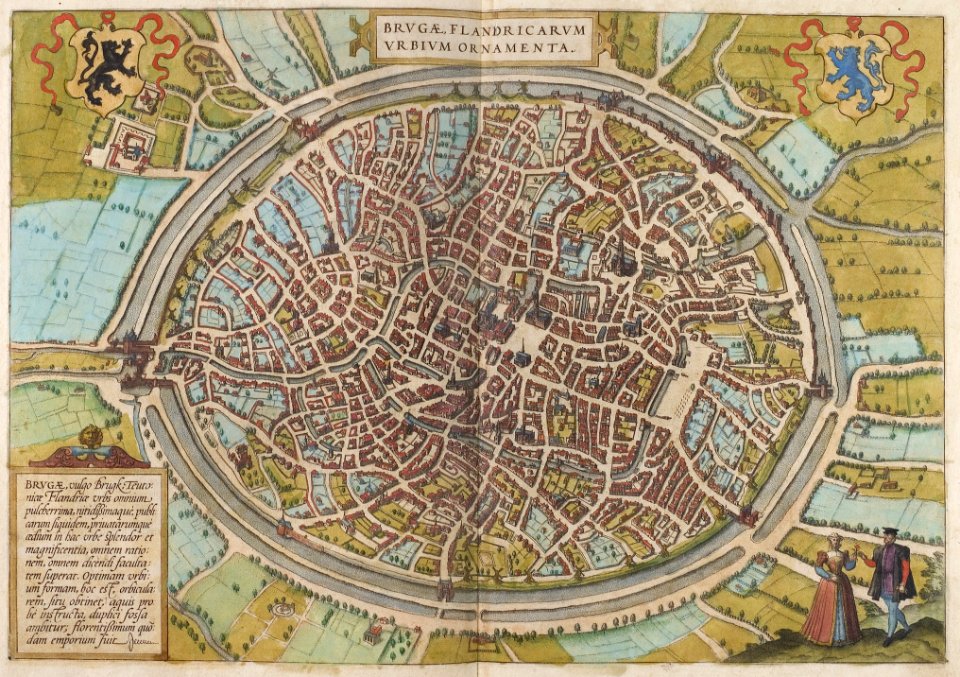
maps of bruges by braun & hogenberg
maps of antwerp by braun & hogenberg
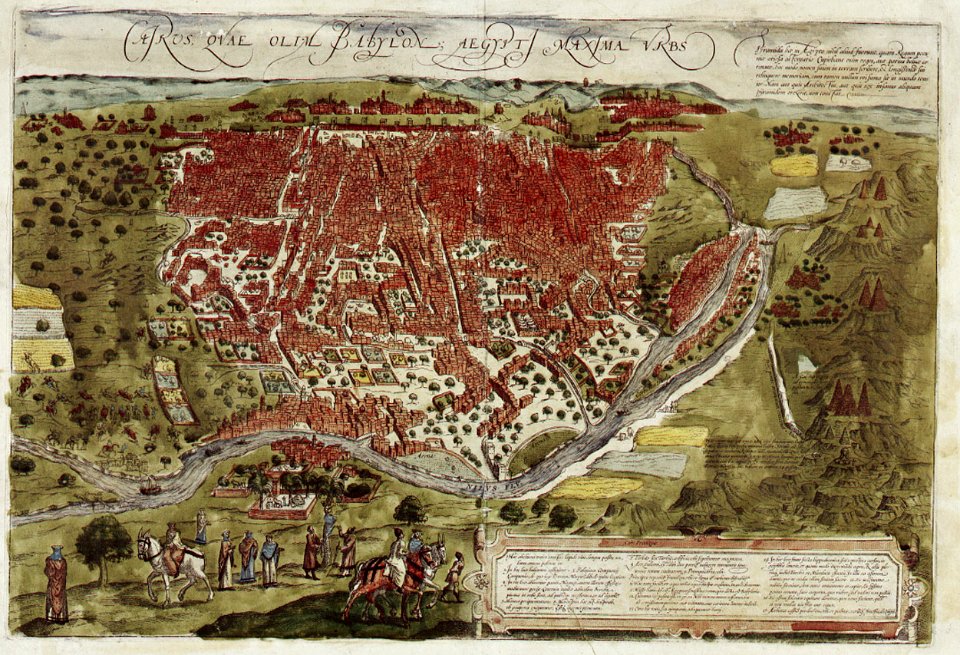
map of cairo by braun & hogenberg
maps of paris by braun & hogenberg
drawings in the museu antônio parreiras
19th-century satirical maps
l'egeo redivivo (1688)
henry macbeth-raeburn
19th-century satirical maps
l'egeo redivivo (1688)
description de l'universe
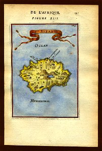
art of réunion
old maps of piedmont
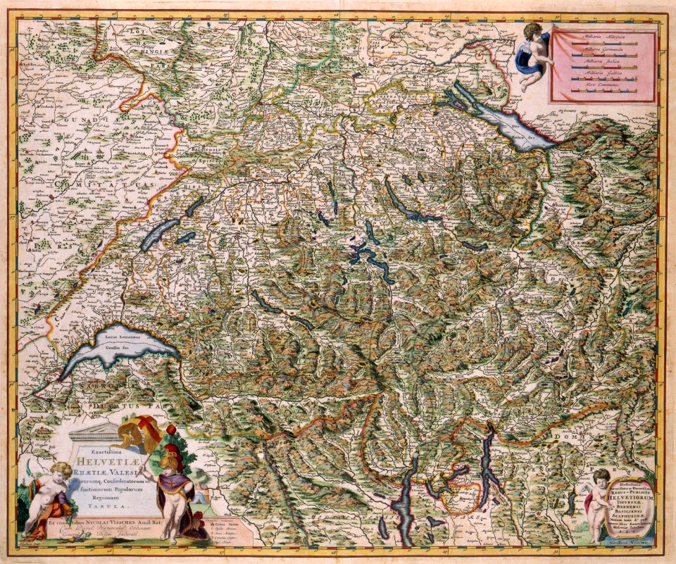
old maps of the canton of zürich
cartography of switzerland
maps of erftstadt
kierdorf
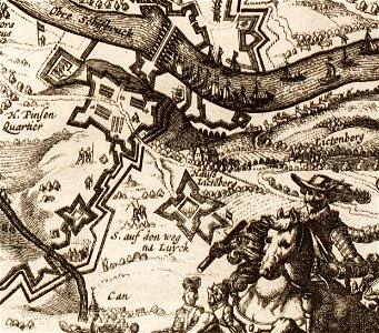
siege
leith
sherwood studio building
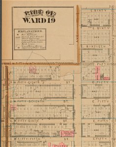
maps of new york city
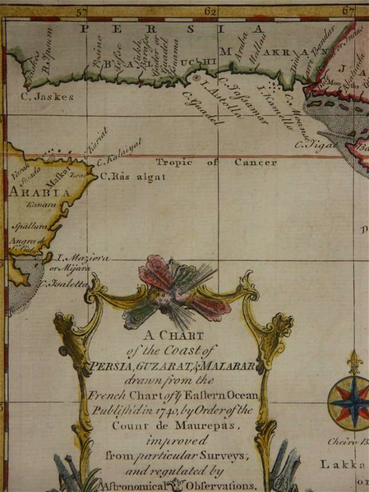
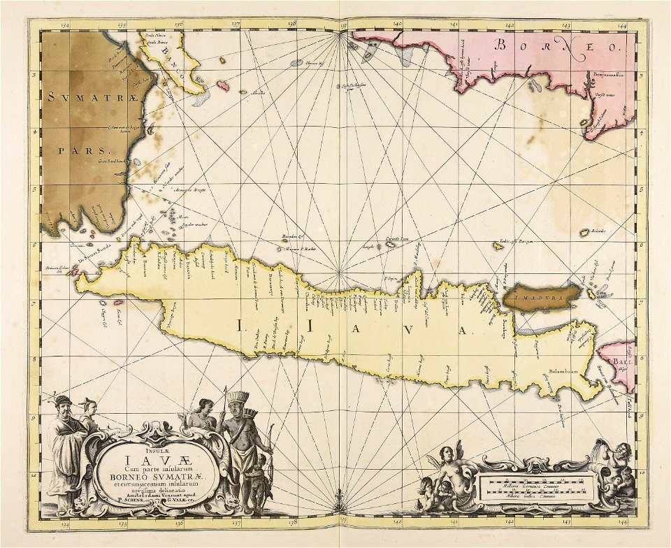
18th-century maps of india
thomas salmon (historian)
drawings in the museu antônio parreiras
maps in the stadsarchief amsterdam
frézier's travel
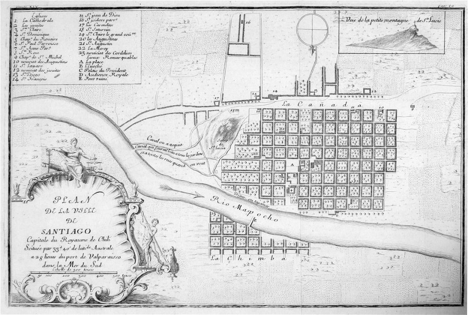
chile
maps by willem and johannes blaeu
historical images of pinsk
maps of pinsk
map postcards
poetry
illustrations of cosmographia (münster)
old map
provided by landsbókasafn íslands
16th-century maps of iceland
provided by landsbókasafn íslands
16th-century maps of iceland
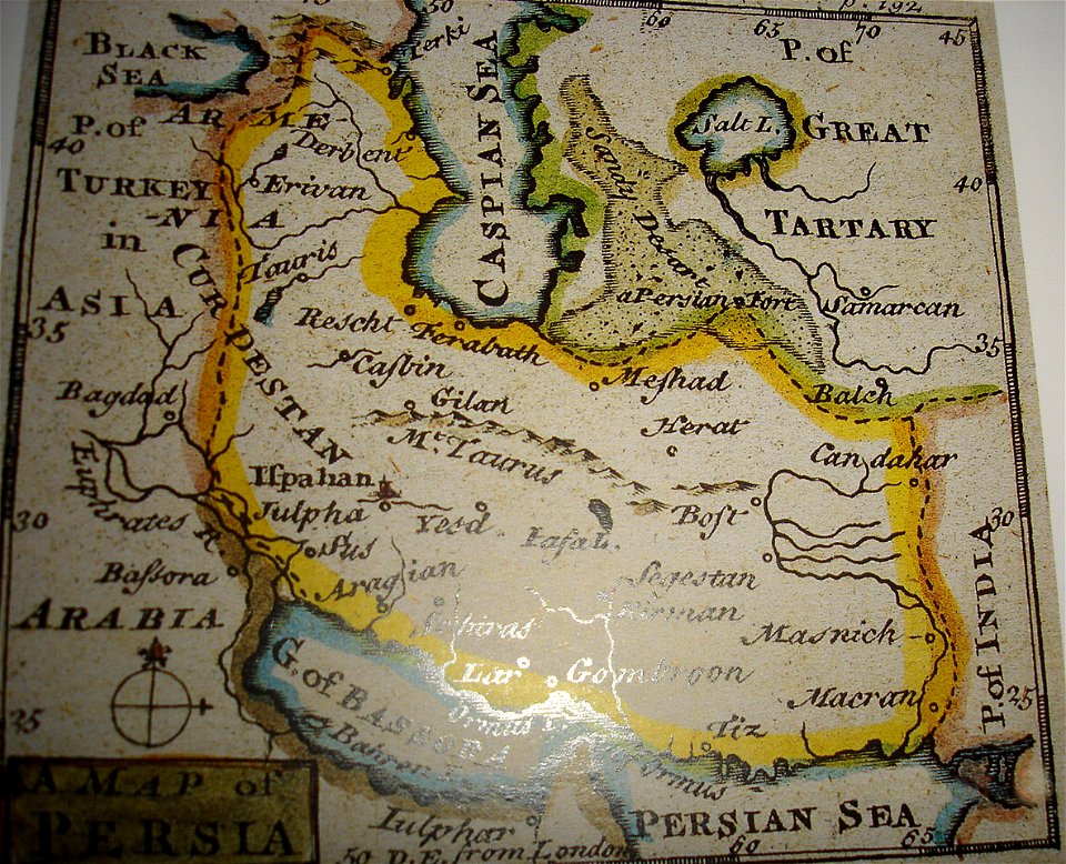
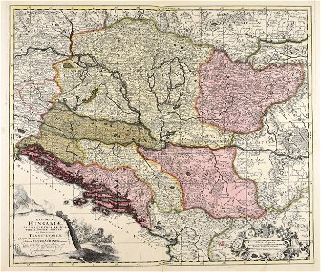
maps of the history of iran
greater iran
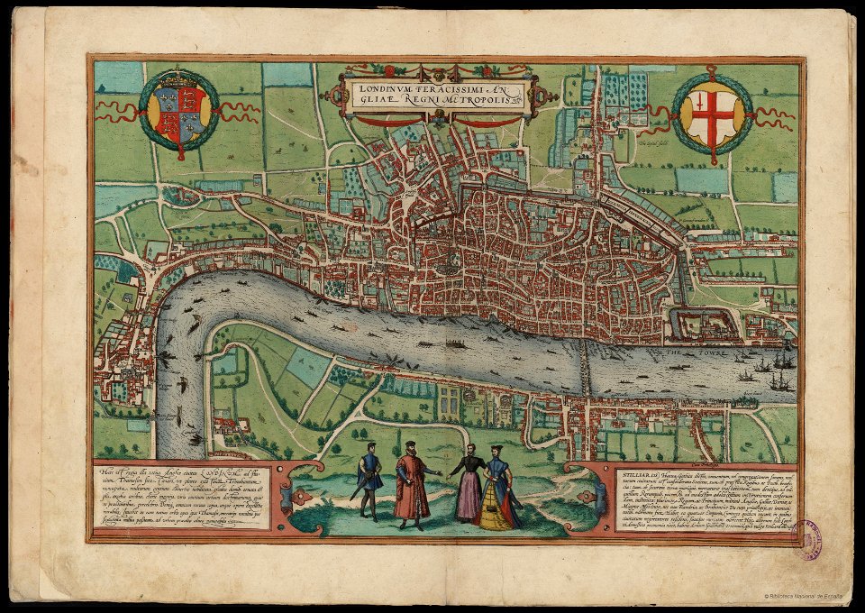
map of london by braun & hogenberg
old map of stockholm 1642
södermalm
maps in the royal collection of the united kingdom
1746
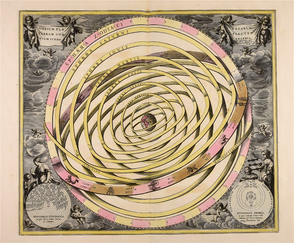
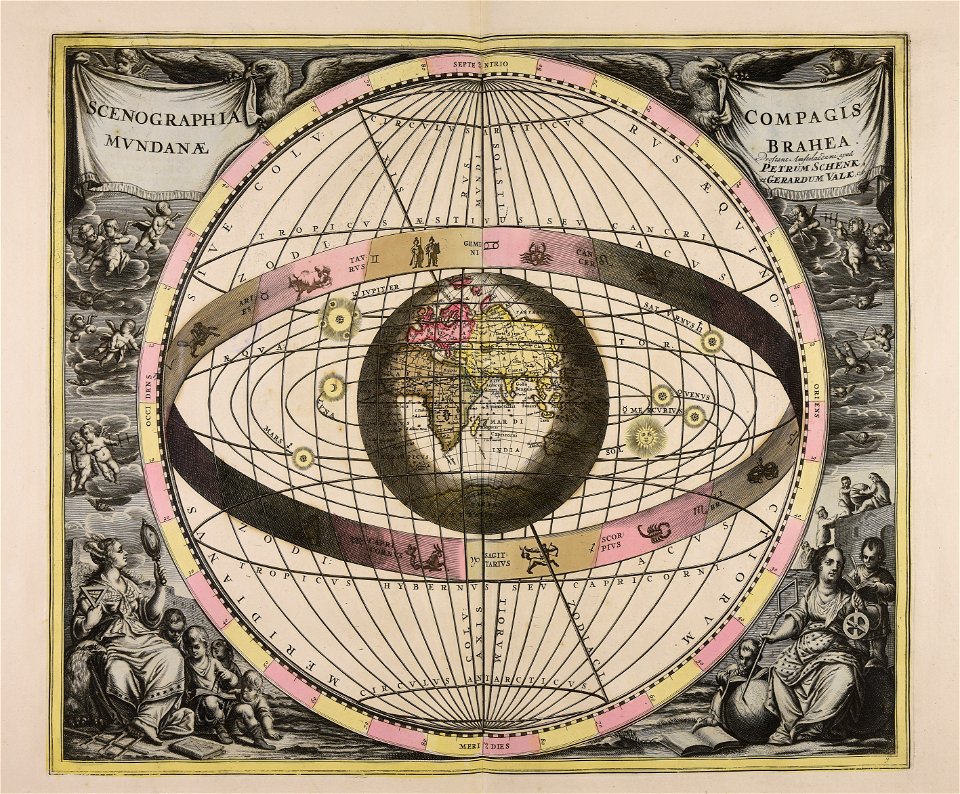
sistema solar
gerard valck
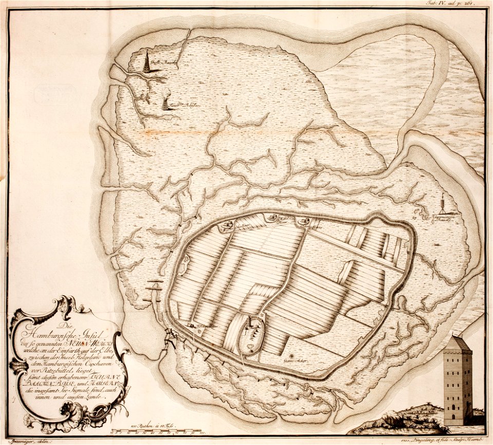
thomas albrecht pingeling
old maps of neuwerk
maps made in the 17th century
gerard valck
maps made in the 17th century
gerard valck
river
roads
gerard valck
lazio
fonds ancely - bibliothèque municipale de toulouse - maps
coats of arms of foix
1853
54
fonds ancely - bibliothèque municipale de toulouse - maps
historical images of biarritz
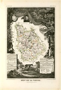
coats of arms of cities in vienne
frédéric-auguste laguillermie
maps made in the 18th century
maps by pieter schenk (i)
17th-century maps of maastricht
maps of the franco-dutch war
maps with cartouches
atlas van der hagen
maps and topographical views by joris hoefnagel
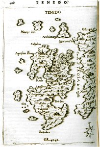
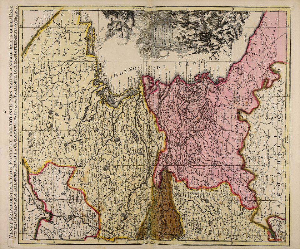
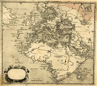
crete under venetian rule
atlantis magni tomus quintus (biblioteca comunale di trento)
maps made in the 18th century
1780 in south america
1780 maps
maps made in the 17th century
nicolaes visscher ii
maps made in the 16th century
old maps of lazio
maps made in the 18th century
terra santa
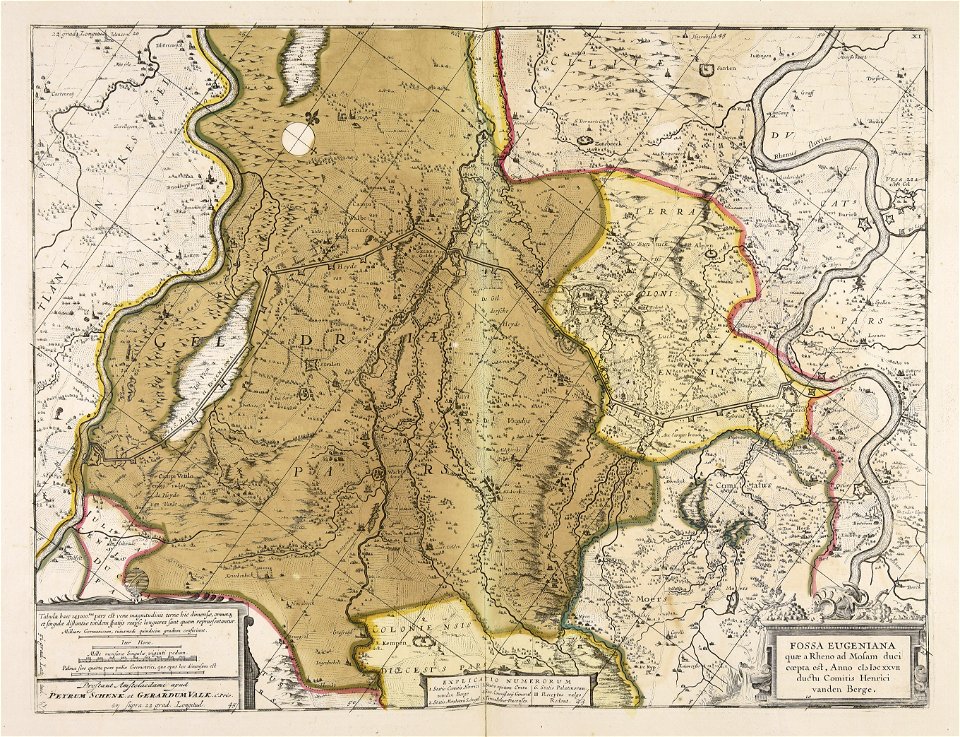
old maps of north rhine-westphalia
lower rhine region
maps made in the 17th century
gerard valck
maps with cartouches
abraham goos
17th-century maps of france
maps with cartouches
17th-century maps of france
maps with cartouches
17th-century maps of france
maps with cartouches
17th-century maps of maastricht
maastricht
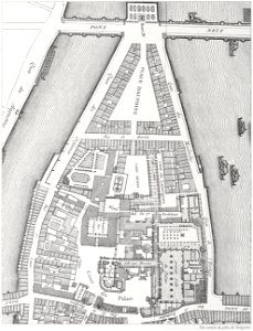
lithographs of paris
floor plans of paris
maps made in the 18th century
cornelis danckerts (i)
maps in the library of congress
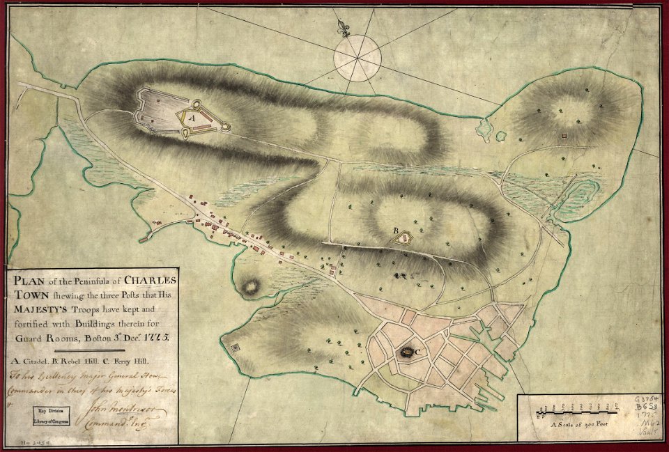
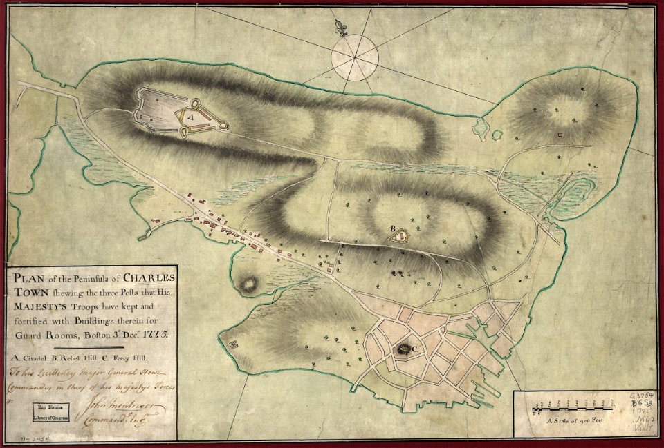
1775 maps of boston
maps in the library of congress
1775 maps of boston
francis d'avignon
north america
historical images of pont neuf
lithographs of paris
1726
asie
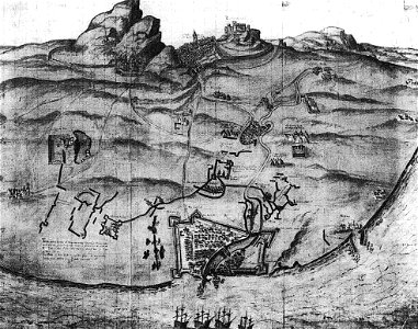
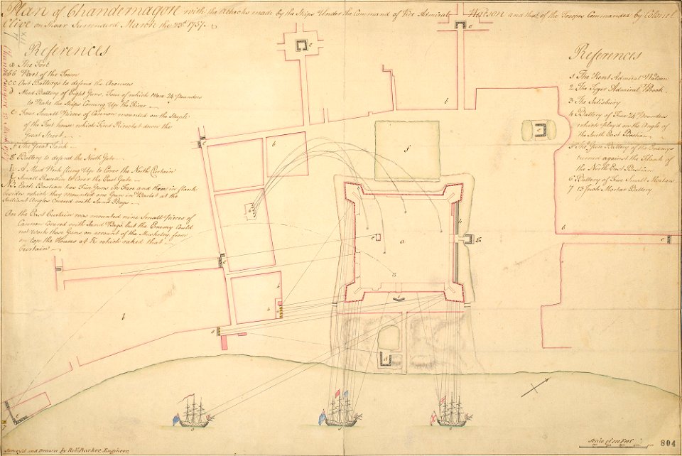
fort zeelandia, taiwan in art
siege of fort zeelandia
maps from the mechanical curator collection available to georeference
maps from the mechanical curator collection
history of rail transport in ireland
enzyklopädie des eisenbahnwesens
history of fashion in paris
paris in the 17th century
maps made in the 18th century
gerard valck
johann baptist homann
sistema solar
maps made in the 17th century
gerard valck
maps made in the 17th century
guillaume sanson
johann baptist homann
1717
gerard valck
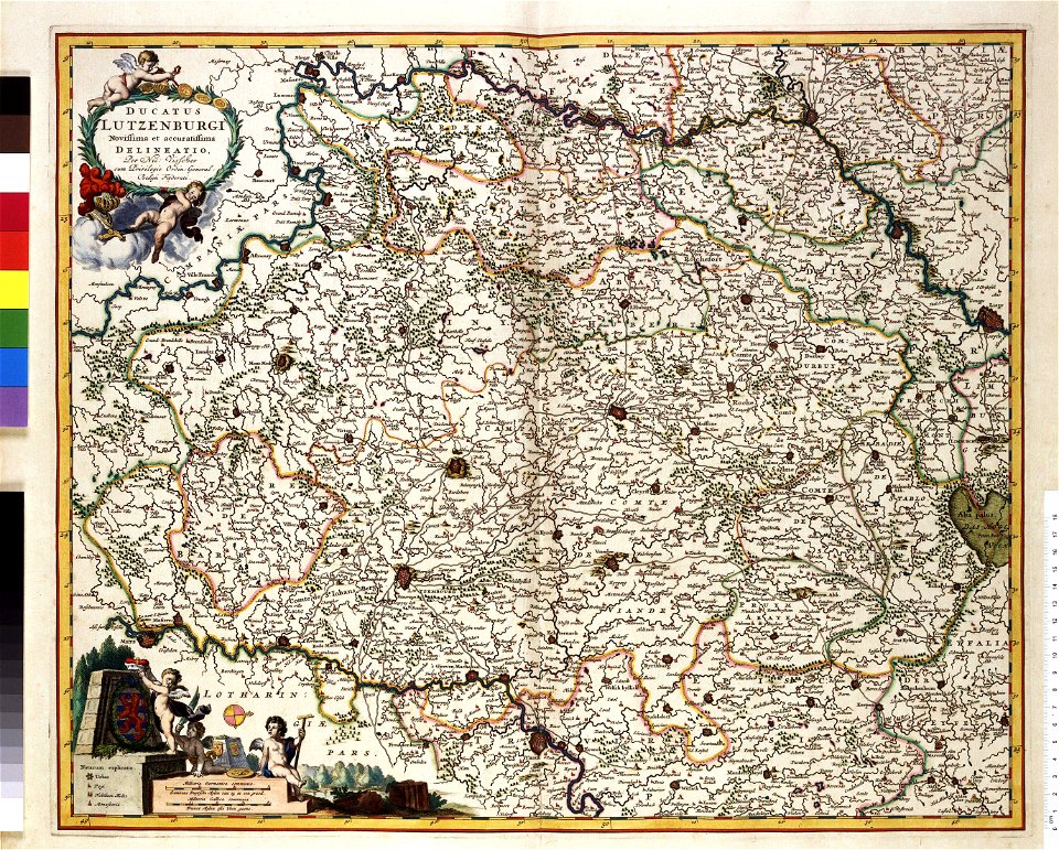
rhineland
old maps of switzerland
maps with cartouches
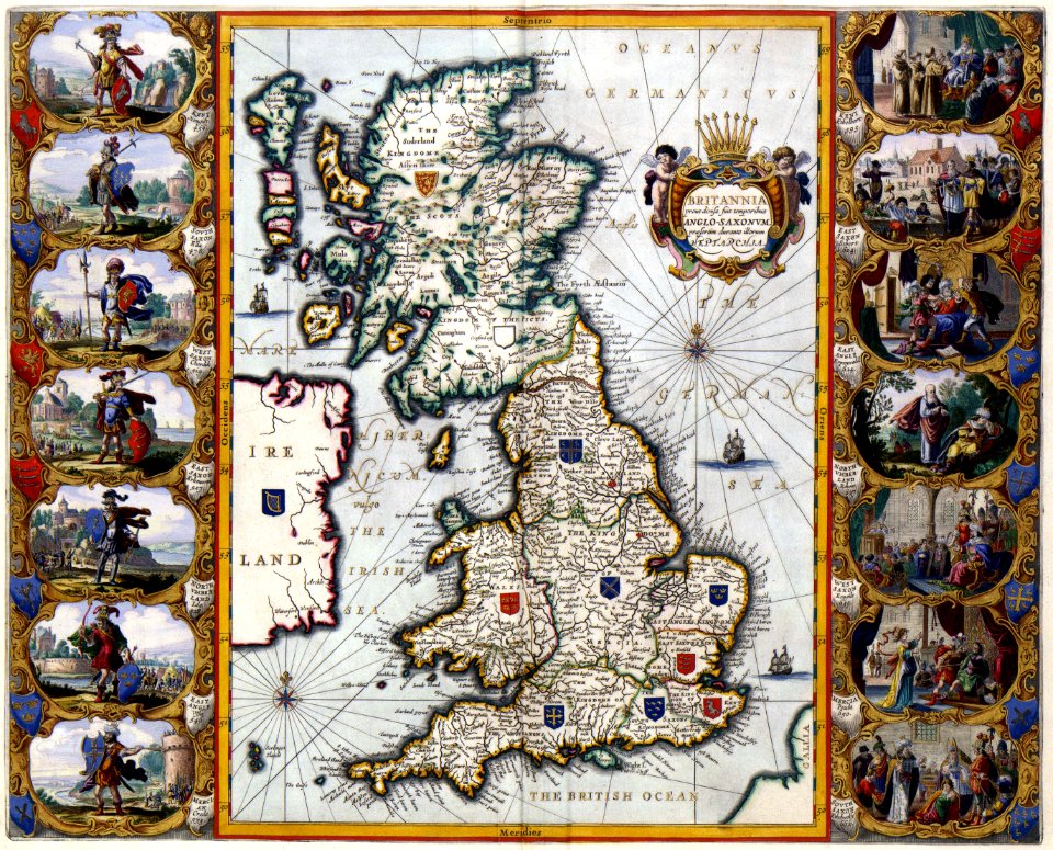
old maps of the british isles
maps with cartouches
genealogy
shaker
maps made in the 17th century
gerard valck
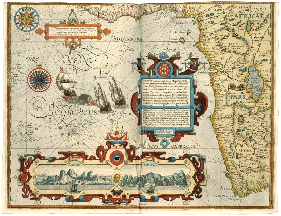
old maps of the indian ocean
jan huygen van linschoten
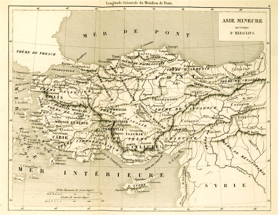
maps of the byzantine empire
maps of anatolia
theatrum urbium (1610)
maps of geneva
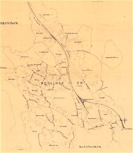
saltsjöbaden
maps
saltsjöbaden
maps
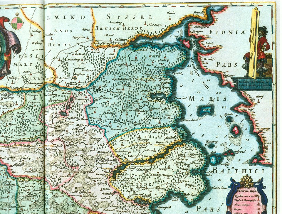
ducatus sleswici pars borealis
maps by johannes mejer
ducatus sleswici pars borealis
maps by johannes mejer
maps in the stadsarchief amsterdam
jacobus verheyden
lepsius-projekt - maps
book illustration
giovanni camocio
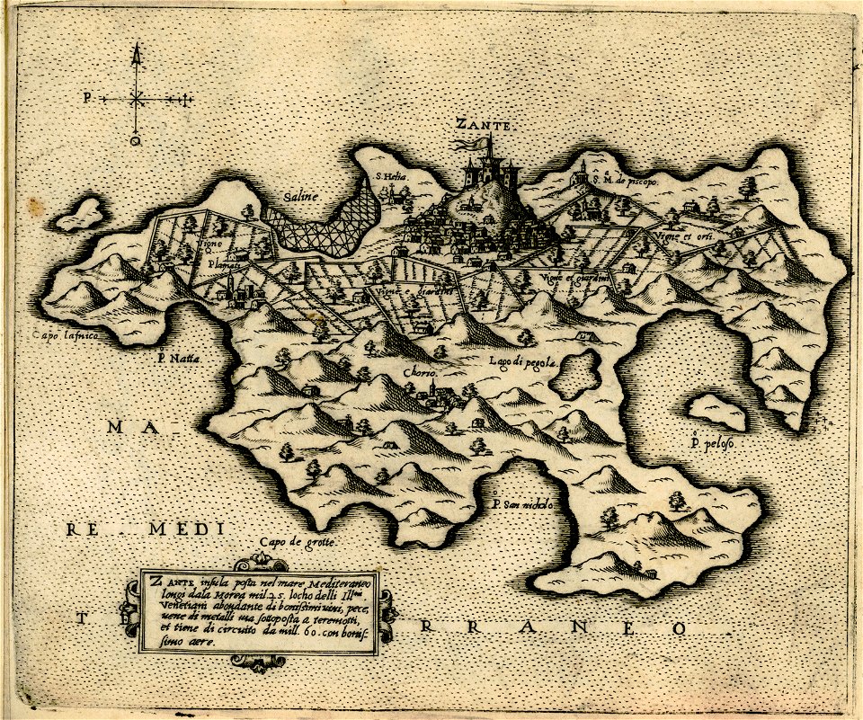
maps of zakynthos
giovanni camocio
7001 - 7100 of 38,713
Next page
/ 388