Log in
All resources
Create a design
38,713 Free Artworks of Map
maps in the library of congress
1746
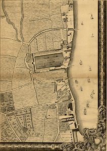
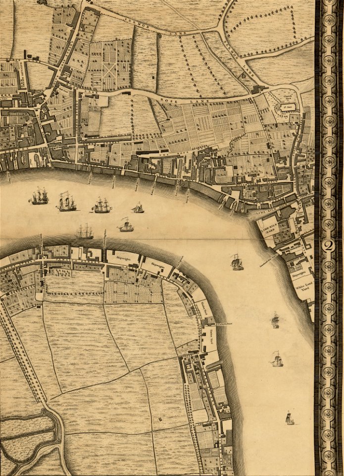
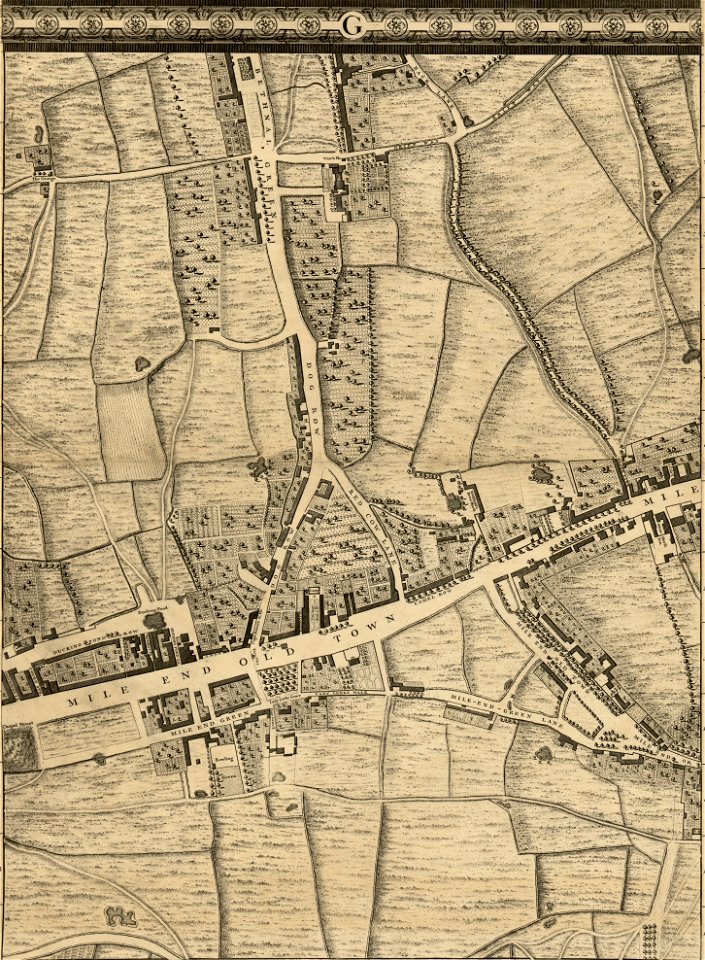
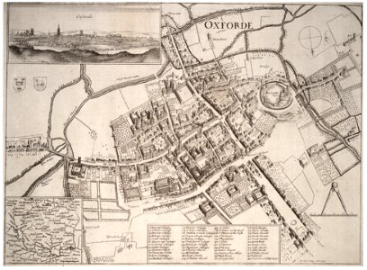
john rocque 1746 crops from library of congress
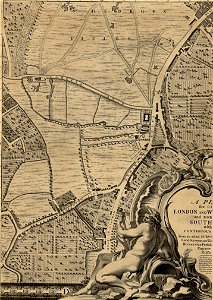
john rocque's map of london
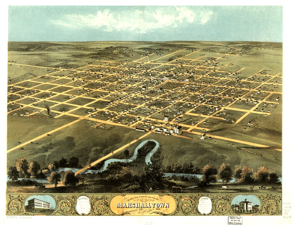
o. h. bailey
fonds ancely - bibliothèque municipale de toulouse - maps
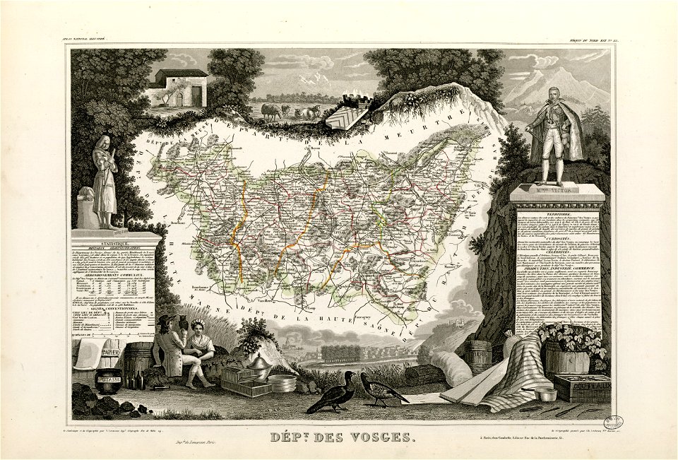
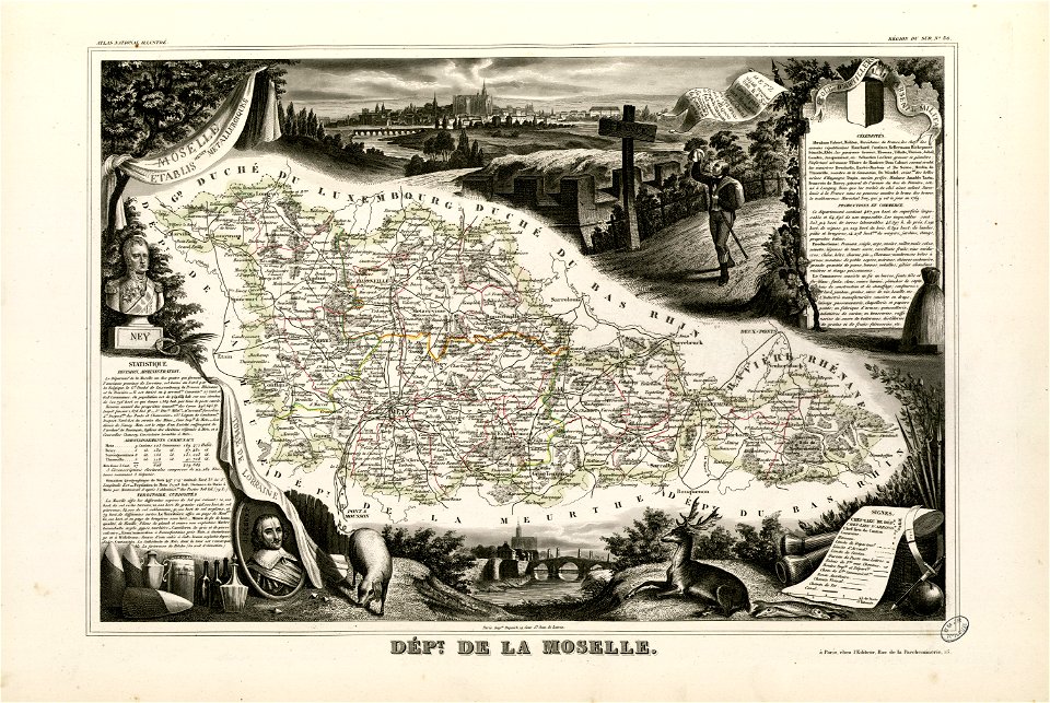
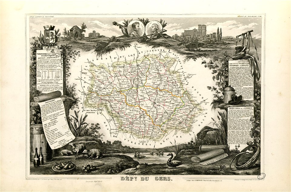
victor levasseur - maps of france
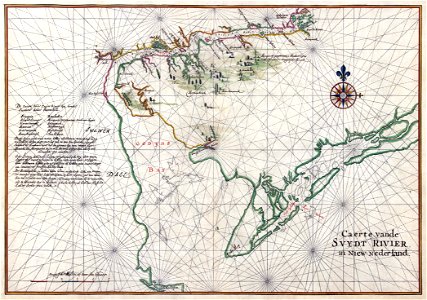
maps of the west-indische compagnie
charts and maps of the royal museums greenwich
albert ruger
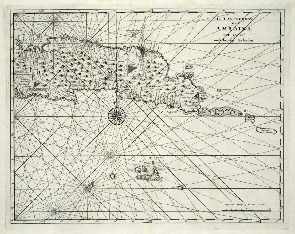
maps of the dutch east india company - india
1665
banda islands
1724
charts and maps of the royal museums greenwich
1682 maps
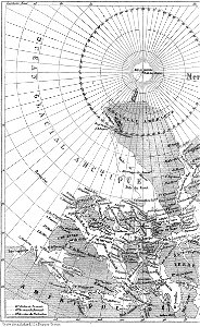
illustrations from the english at the north pole by riou and montaut
old maps of the arctic
maps in the library of congress
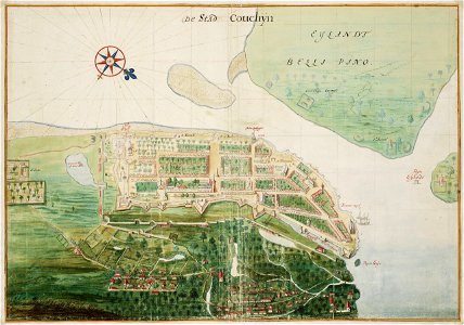
1775 maps of boston
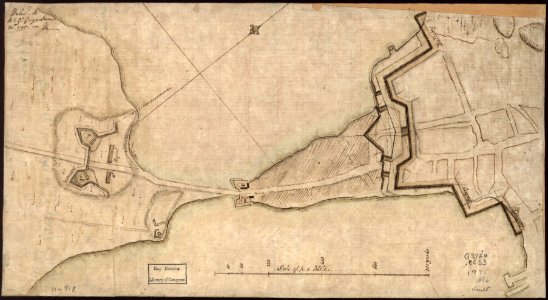
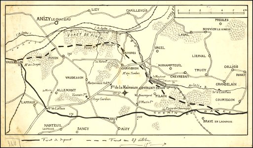
hand-drawn maps and views of world war i battlefields by h.m.
hand-drawn maps and views of world war i battlefields by h.m.
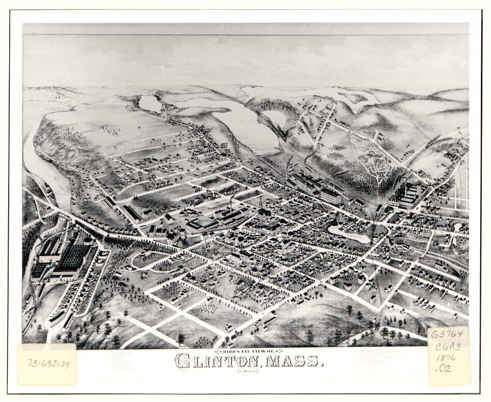
massachusetts
clinton
maps in the library of congress
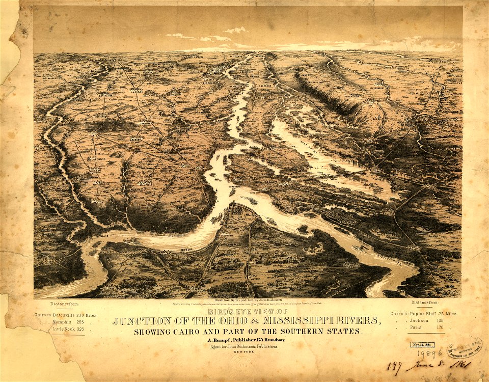
1861 maps
maps in the library of congress
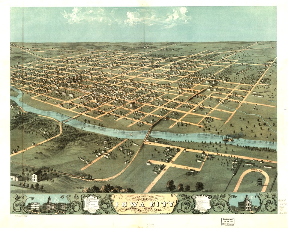
albert ruger
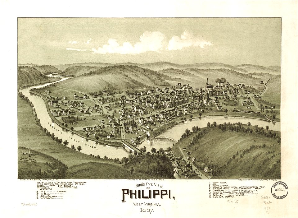
west virginia
philippines
maps in the library of congress
albert ruger
maps in the library of congress
pennsylvania
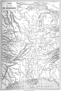
old maps of mississippi (state)
maps by alexandre vuillemin
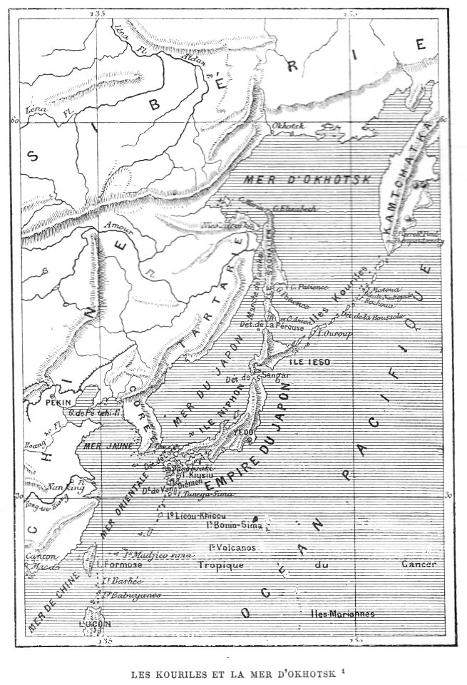
volume 7 of le tour du monde
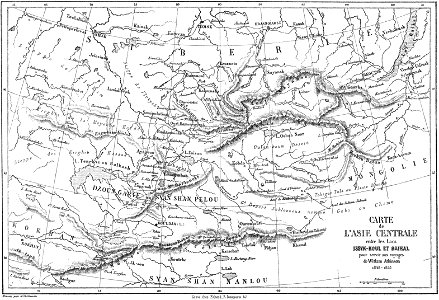
maps of central asia
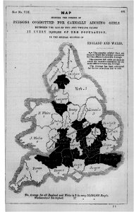
maps in london labour and the london poor (1851)
old maps of korea
british museum
20th-century maps of india
india
media in the houghton library
harvard university
melchior tavernier (i)
harvard university
maps in the library of congress
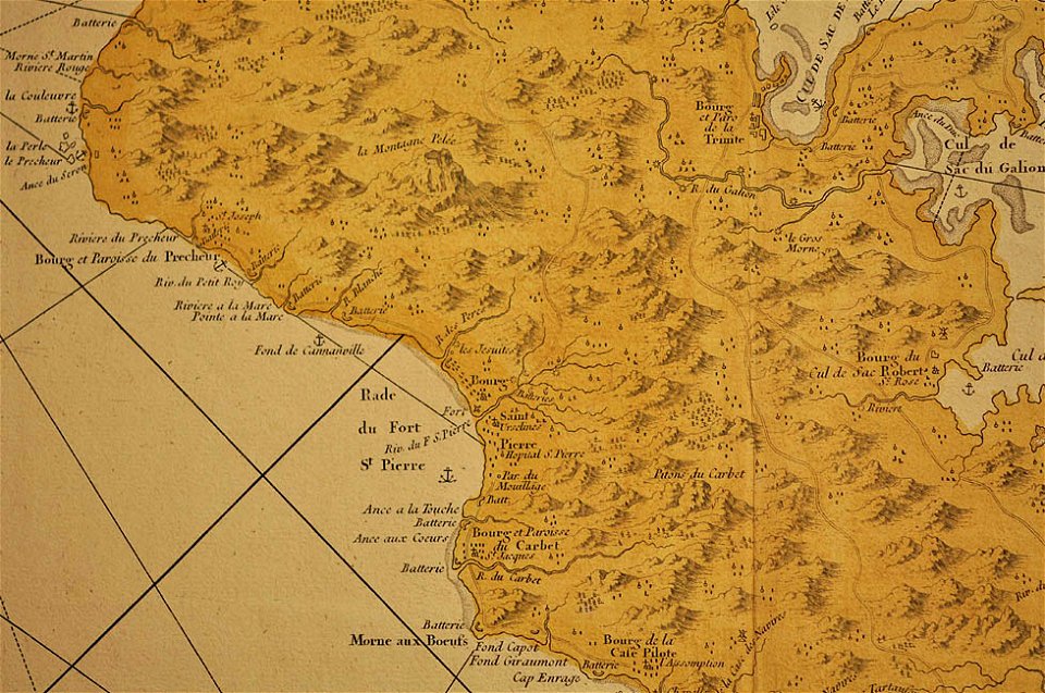
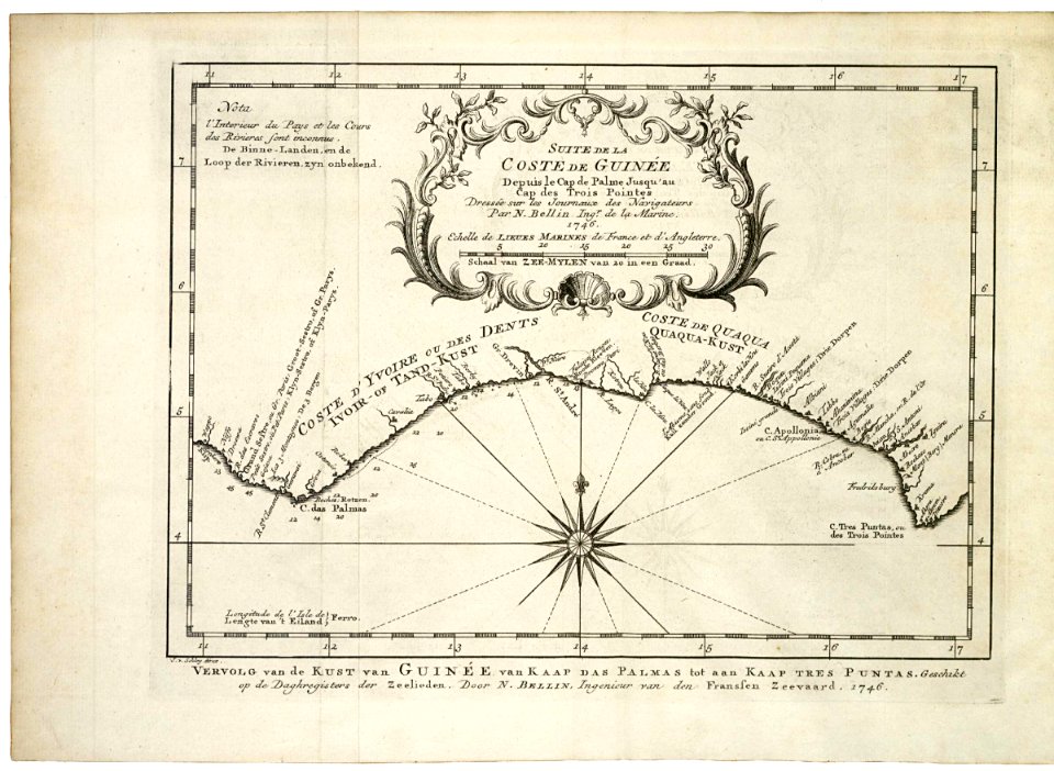
1746
maps in the library of congress
1746
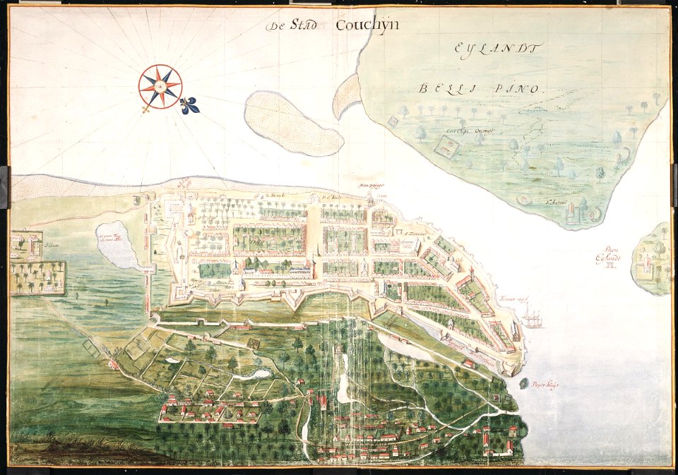
johannes vingboons
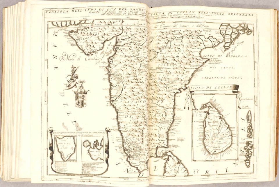
kerala
the illustrated london news 1860
19th-century maps of china
travels in various countries of europe
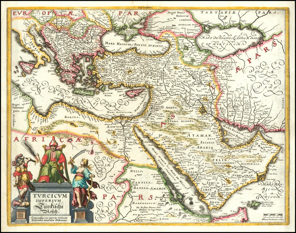
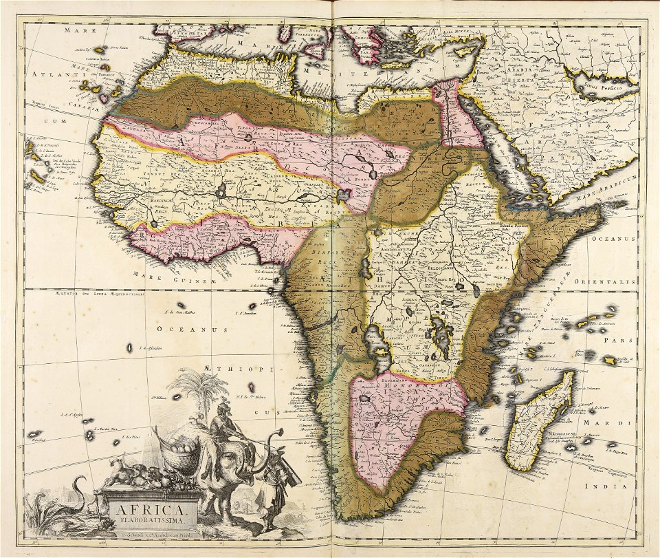
asia and africa
maps in the library of congress
o. h. bailey
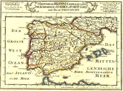
1720s maps of portugal
1720s maps of spain
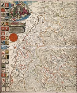
coats of arms of baden-württemberg
duke of württemberg
johann baptist homann
1762 maps
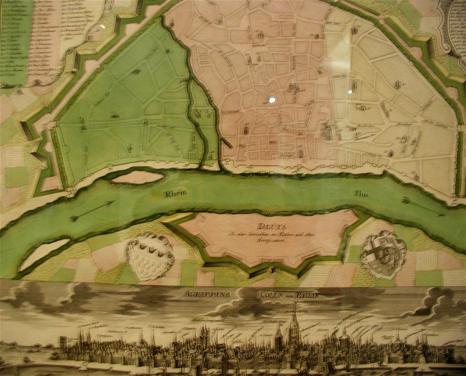
parts of old maps of cologne
maps by matthäus seutter
national diet library
keichō kuniezu
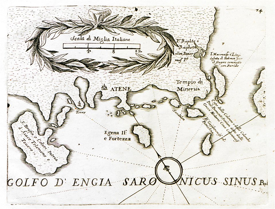
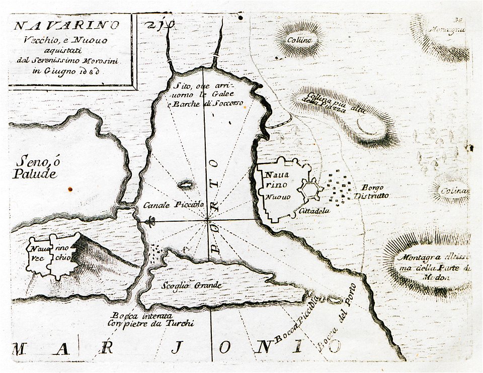
old maps of the peloponnese
maps by coronelli
globe
maps
charts and maps of the royal museums greenwich
1626 maps
coats of arms of cities in vosges
claude-victor perrin
abraham de fabert
michel ney
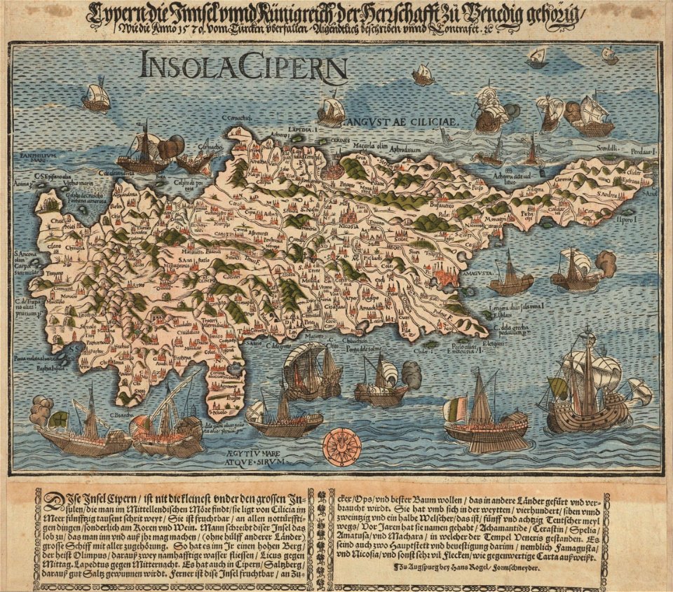
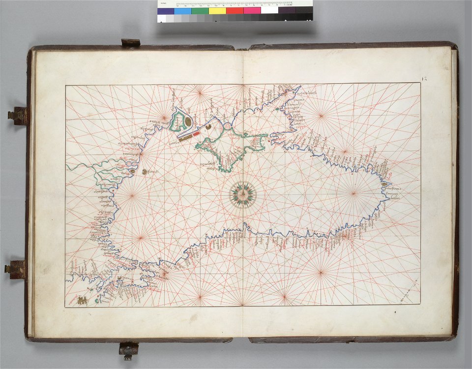
16th-century maps of the black sea
battista agnese
massachusetts
clinton
maps in the library of congress
1861 maps
west virginia
philippines
maps in the library of congress
albert ruger
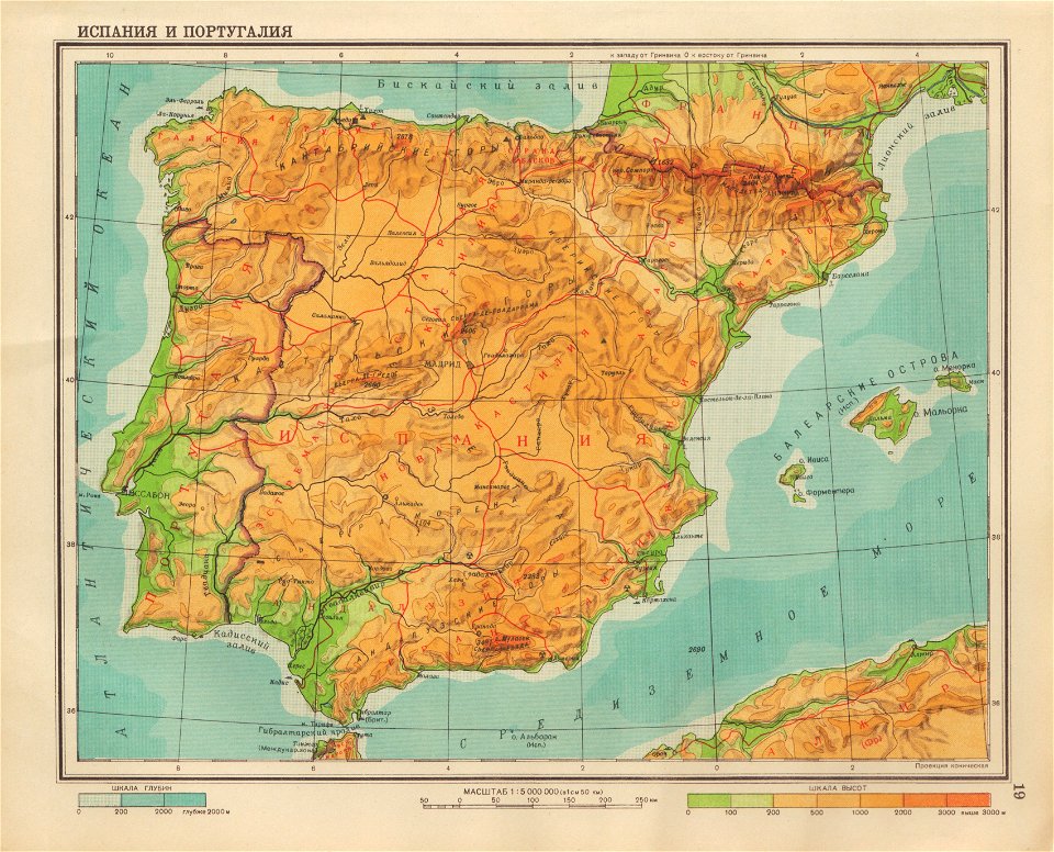
geographical atlas for the 5-6 grades of secondary school (1941)
old maps of the iberian peninsula
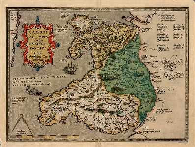
maps in the national library of wales
old maps of whole wales (alone)
maps in the library of congress
1777 maps
maps in the library of congress
1782 maps
old maps of lazio
codex windsor
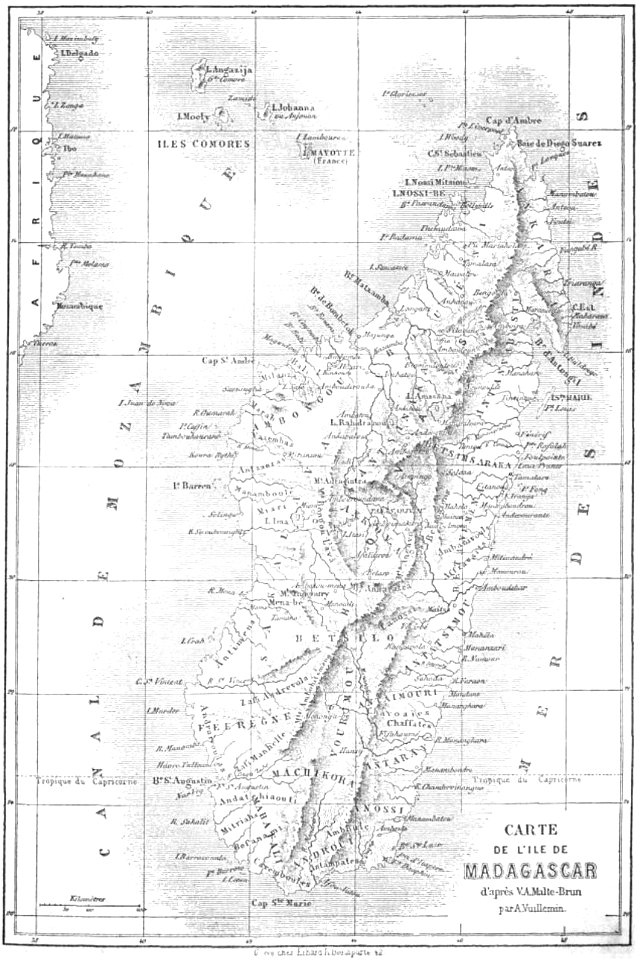
19th-century maps of madagascar
maps by alexandre vuillemin
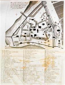
maps of fort fisher
fort fisher
maps by coronelli
pylos
old maps of the peloponnese
maps by coronelli
maps in the library of congress
o. h. bailey
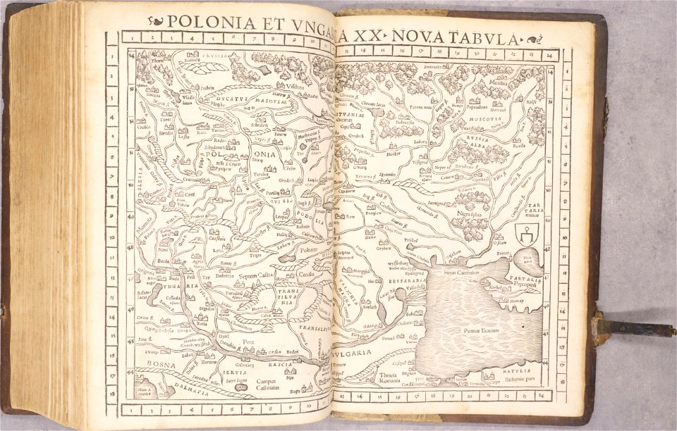
old maps of poland
1552
old maps of spain
1552
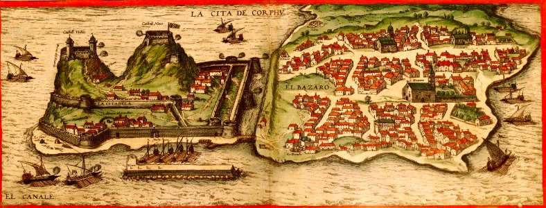
braun & hogenberg
copper engraving
maps in the library of congress
new york
matthäus merian
1636 maps
braun & hogenberg
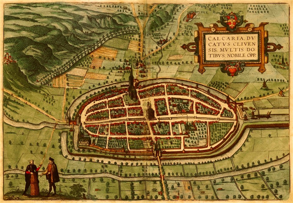
maps of kalkar
20th-century satirical maps
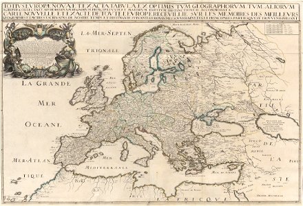
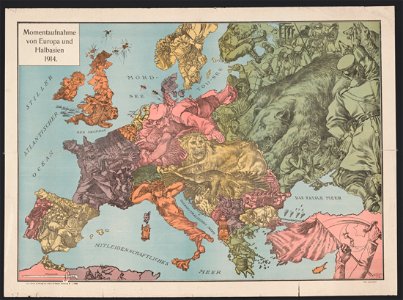
1914 maps of europe
maps in the library of congress
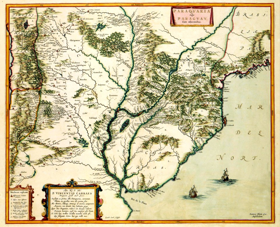
1746
maps in the library of congress
1746
maps in the library of congress
1746
maps in the library of congress
1746
maps of the dutch east india company - south africa
gerard van keulen
maps of the dutch east india company - india
1755
west-indische compagnie
1639 maps
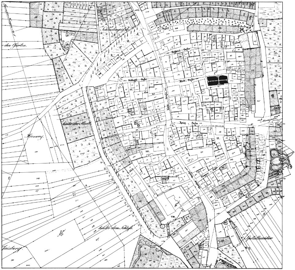
historical images of brackenheim
1835 maps
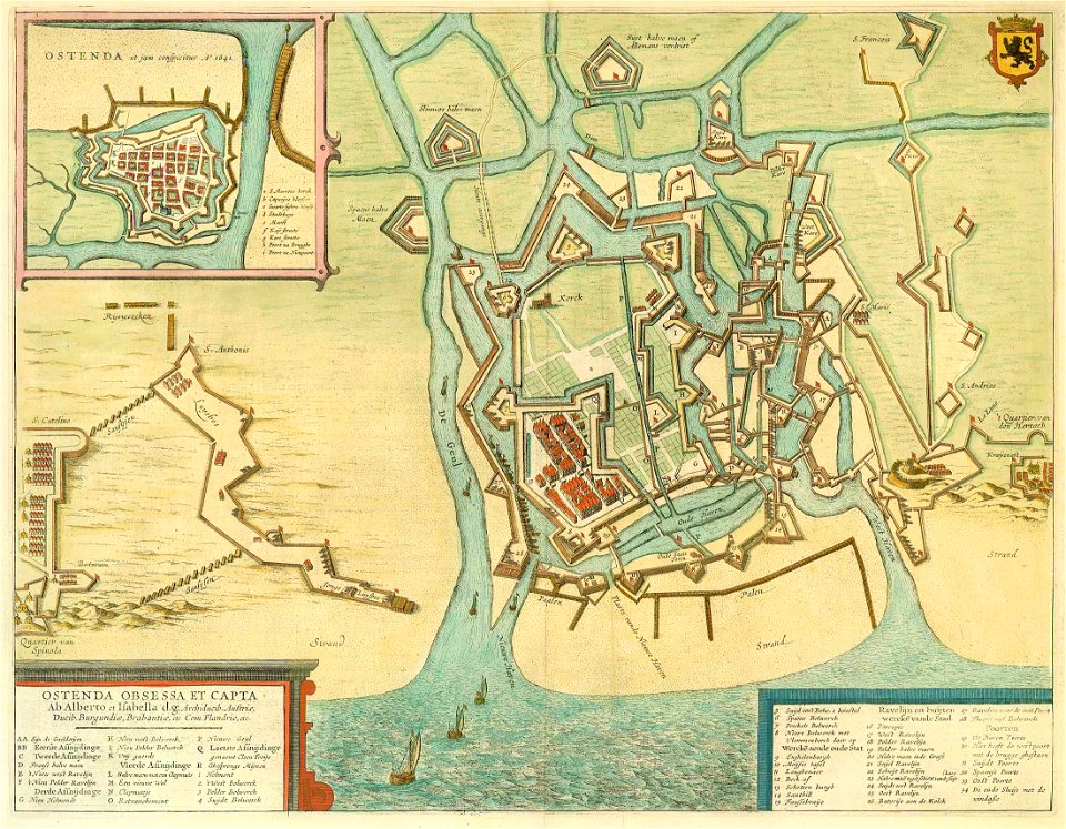
braun & hogenberg
ships on maps
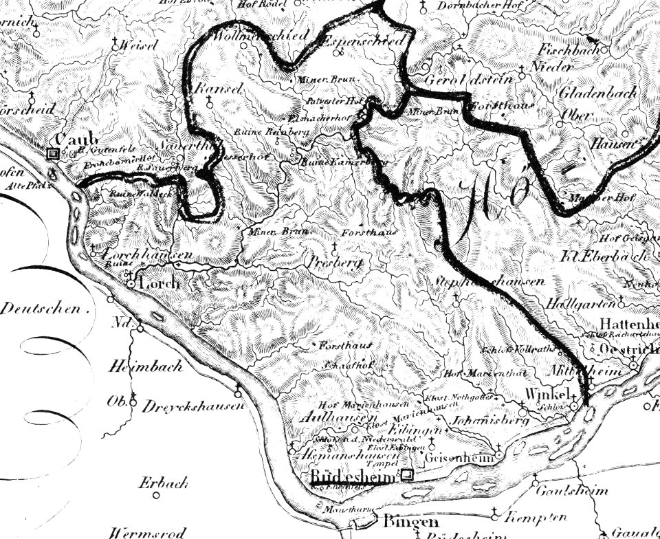
historic views of rüdesheim am rhein
1828
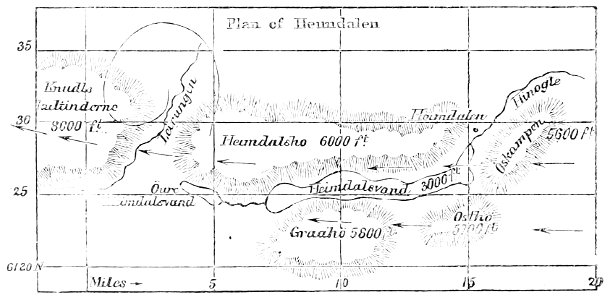
popular science monthly illustrations/volume 11
1877 maps
maps by willem and johannes blaeu
1649
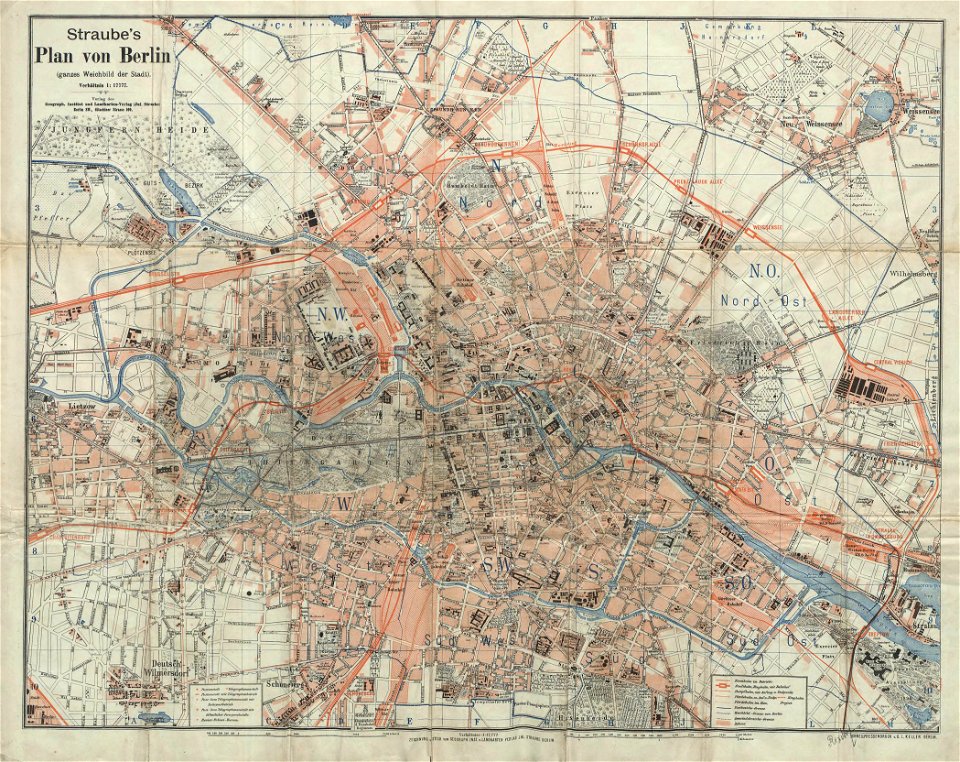
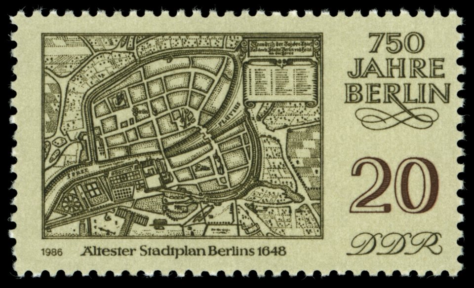
19th-century maps of berlin
1896 maps
turgot map of paris
hôtel de mortemart
melchior tavernier (i)
harvard university
atlantis magni tomus quintus (biblioteca comunale di trento)
maps by pieter schenk (i)
maps in the rijksmuseum amsterdam
old maps of haarlem
maps of the history of berlin
17th-century maps of berlin
atlas van der hagen (volume 4)
maps with cartouches
charts and maps of the royal museums greenwich
1626 maps
fortifications in the netherlands
history of tiel
1867 engravings
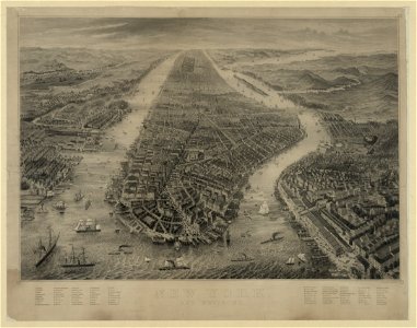
new york city
zhangye
lanzhou
fonds ancely - bibliothèque municipale de toulouse - maps
coats of arms of cities in nièvre
coats of arms of auch
jean lannes
university of toronto wenceslas hollar digital collection
maps by wenzel hollar
illustrations from the english at the north pole by riou and montaut
old maps of the arctic
illustrations from the sea serpent by george roux
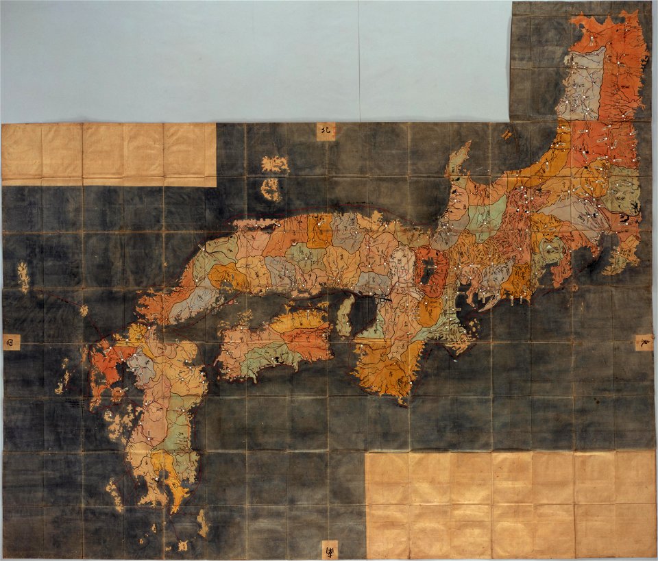
20th-century maps of japan
bibliothèque municipale de reims
rès. g 152
history of lorenzkirch
old maps of saxony
maps of the west-indische compagnie
1665
old maps of the dutch east india company
1598
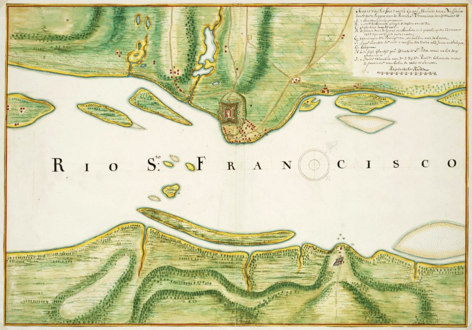
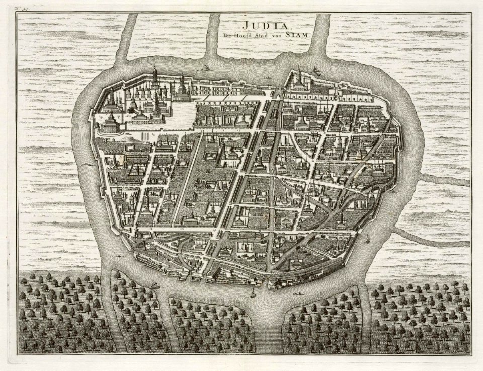
old maps of ayutthaya
1724
maps of the west-indische compagnie
1662
maps of the west-indische compagnie
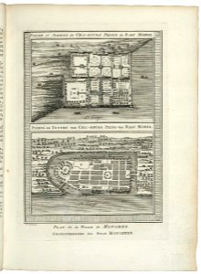
1747)
maps of the west-indische compagnie
1747)
maps of the dutch east india company - indonesia
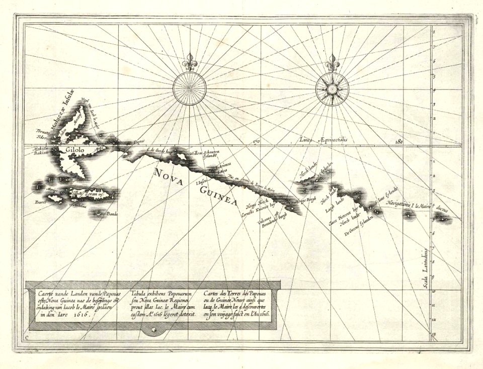
1616
maps in the library of congress
1775 maps of boston
maps of the dutch east india company - sri lanka
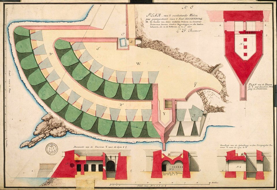
maps of fort fredrick
old maps of sri lanka
old maps of india
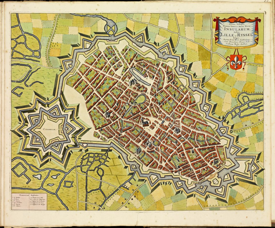
maps of lille city walls
atlas de wit 1698
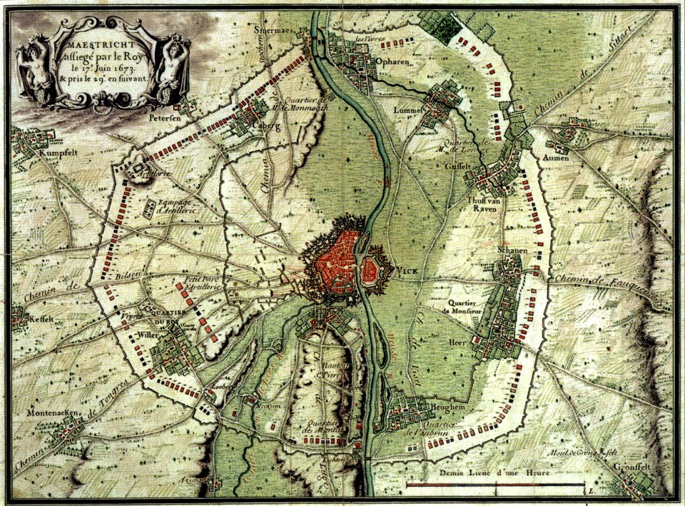
17th-century maps of maastricht
maps of the franco-dutch war
5501 - 5600 of 38,713
Next page
/ 388