Log in
All resources
Create a design
38,713 Free Artworks of Map
maps in the library of congress
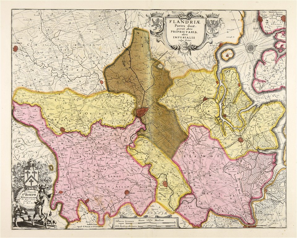
maps made in the 17th century
gerard valck
maps by pieter schenk (i)
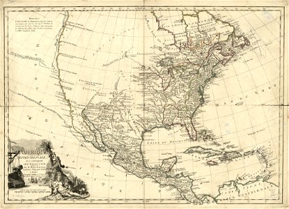
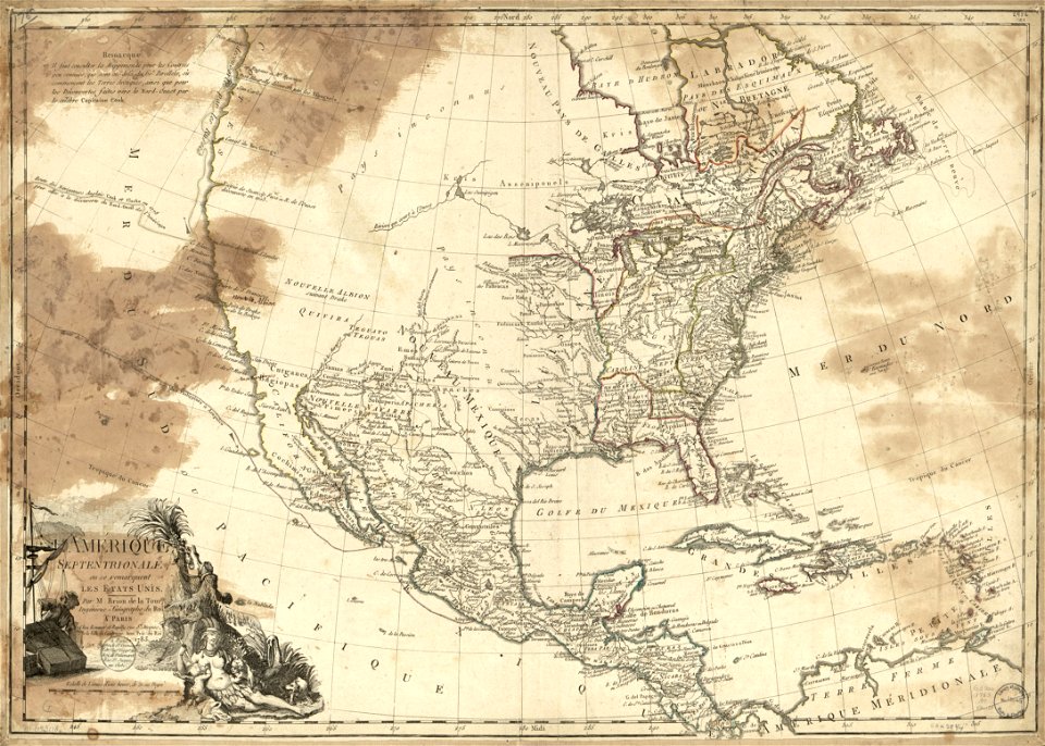
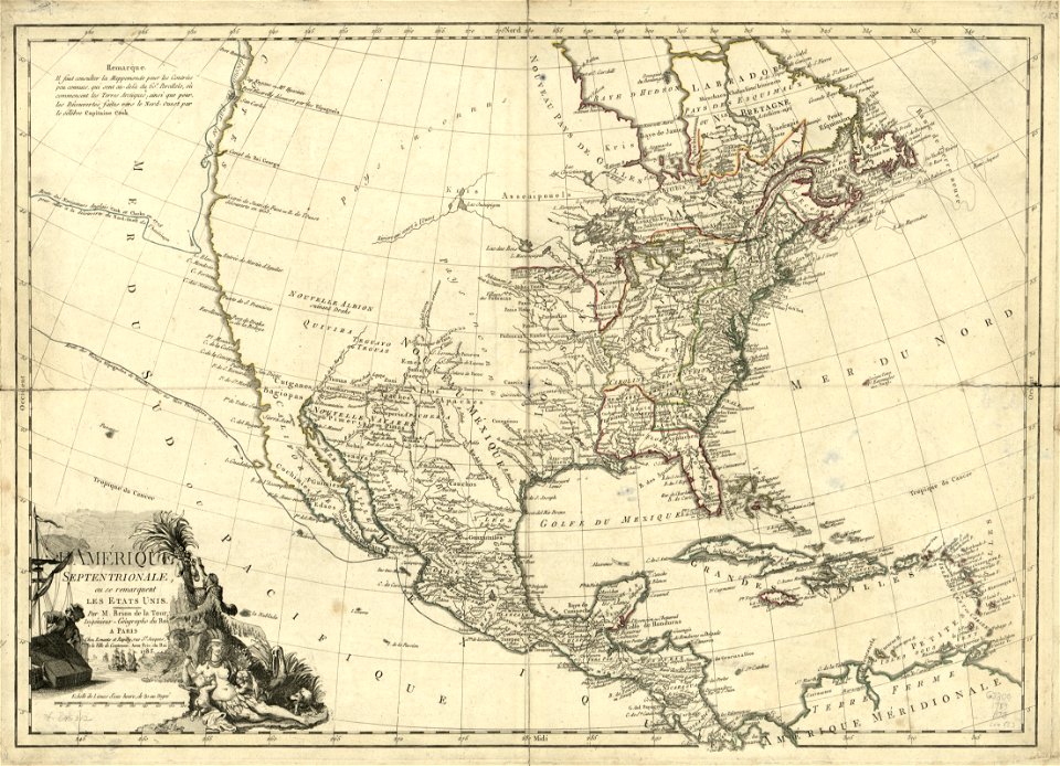
1783 maps of north america
atlantis magni tomus secundus (biblioteca comunale di trento)
fonds ancely - bibliothèque municipale de toulouse - maps
massachusetts
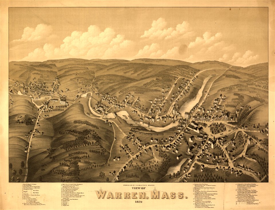
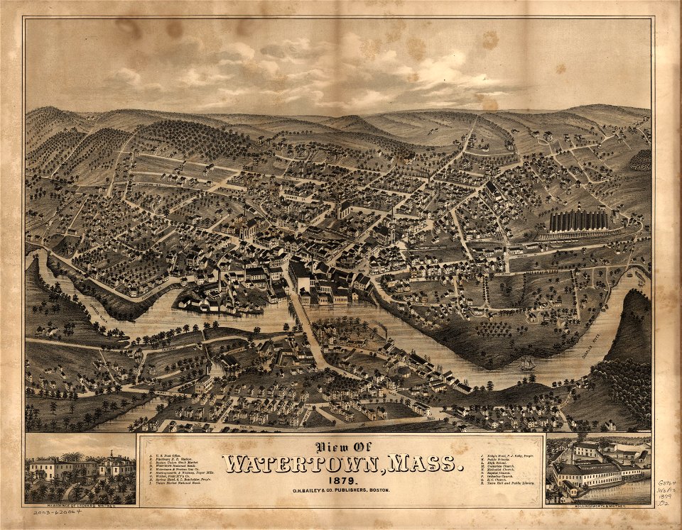
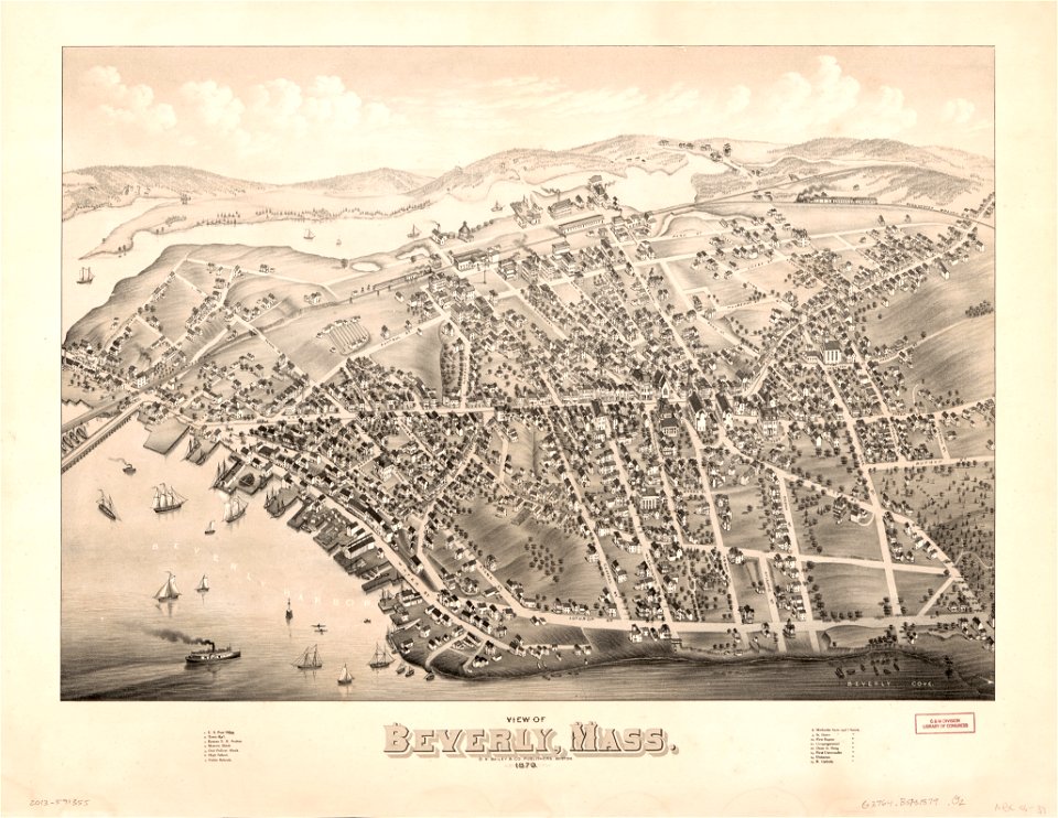
o. h. bailey
1879 maps of massachusetts
p.s. duval & son
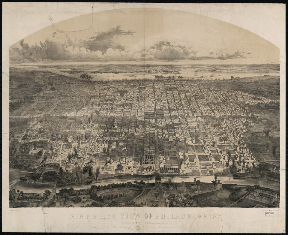
philadelphia in art
old celestial maps
maps with figures
maps in the library of congress
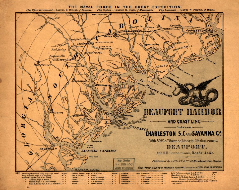
old maps of south carolina
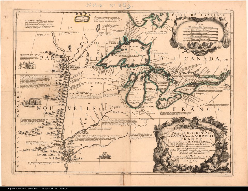
old maps of new france
maps by coronelli
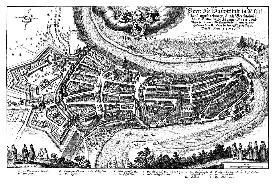
1638 in switzerland
bern
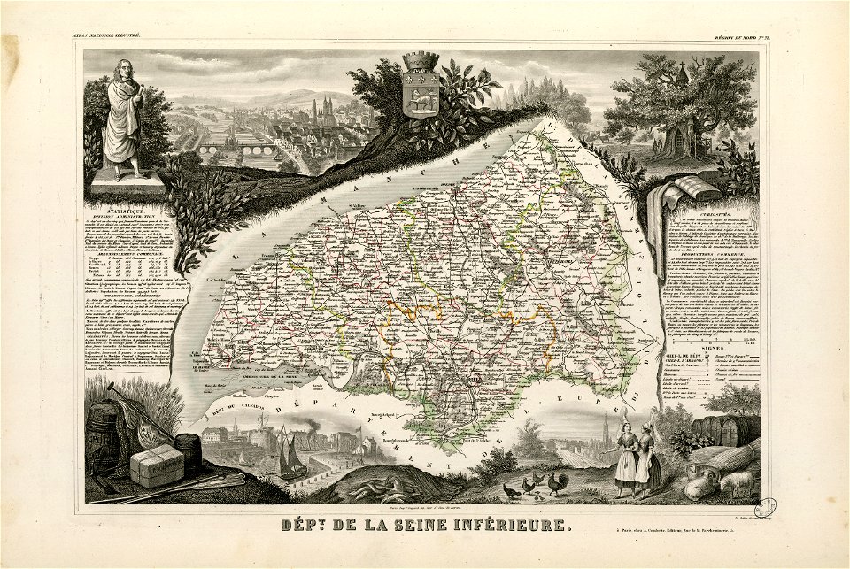
1862
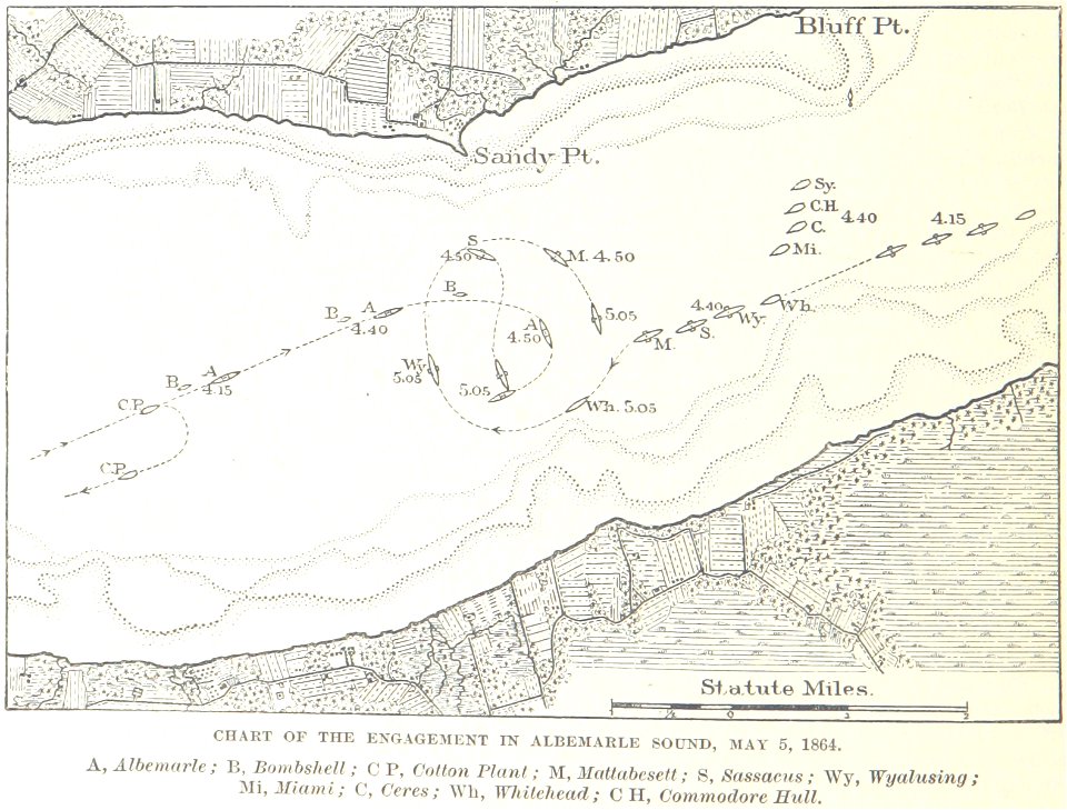
1864
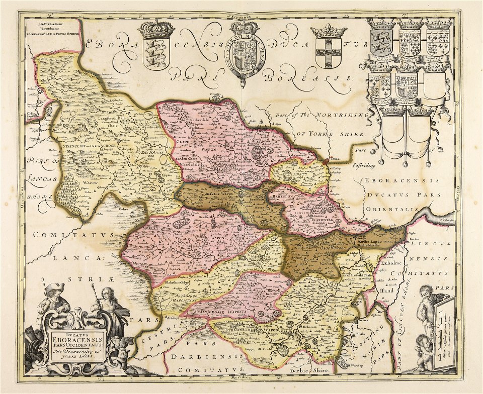
maps made in the 17th century
gerard valck
maps made in the 17th century
gerard valck
fonds ancely - bibliothèque municipale de toulouse - maps
coats of arms of rouen
university of toronto wenceslas hollar digital collection
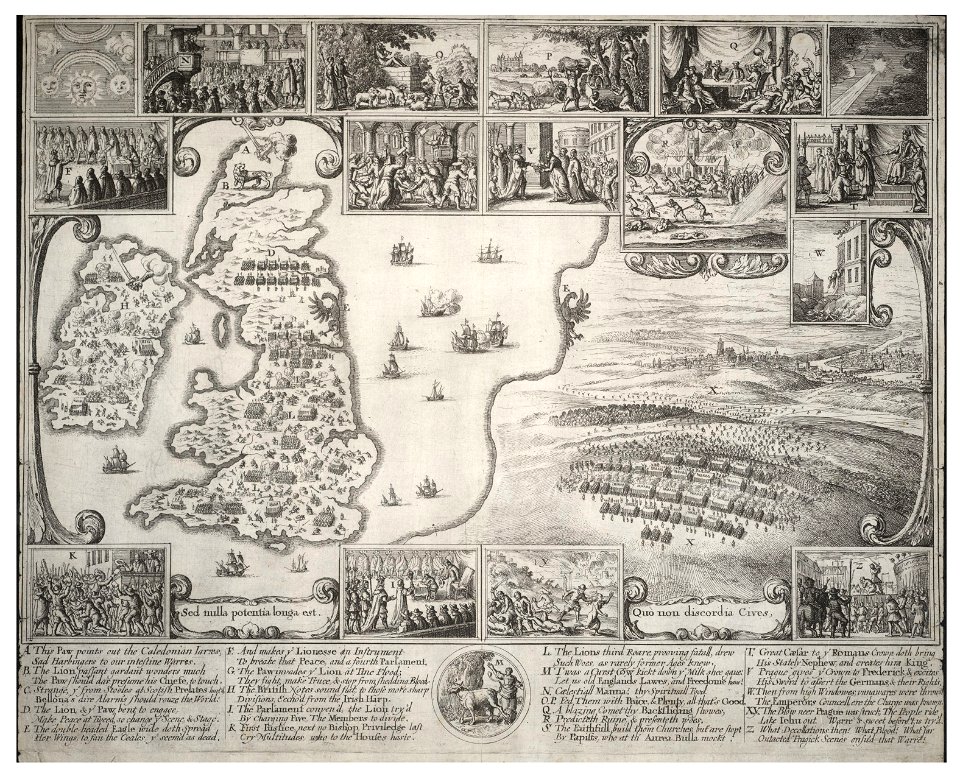
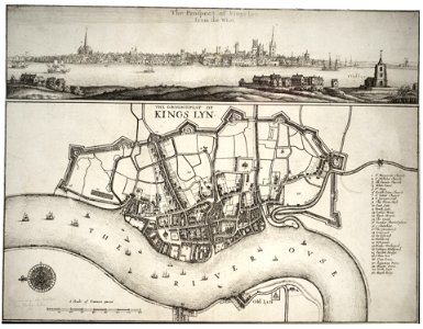
old maps of the british isles
maps made in the 17th century
gerard valck
maps from the mechanical curator collection available to georeference
maps from the mechanical curator collection
dutch 17th-century prints in the rijksmuseum amsterdam
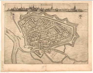
roermond in the 17th century
george hayward
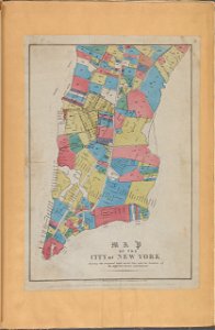
new york city
1696 in bretagne
1696 maps
prints from bonne atlas de toutes les parties at the peace palace library
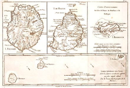
maps of rodrigues island
david rumsey historical map collection – derivative files
turgot map of paris
johann baptist homann
old maps of greece
old maps of papua new guinea
maps of german new guinea
maps in the library of congress
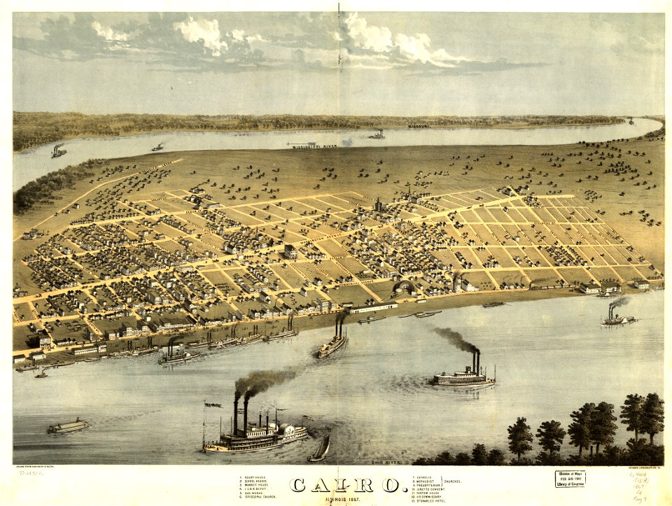
cairo
maps in the library of congress
cairo
new york
camden
maps in the stadsarchief amsterdam
oosterdok
charts and maps of the royal museums greenwich
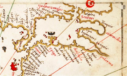
16th-century maps of the black sea
maps by jacques-nicolas bellin
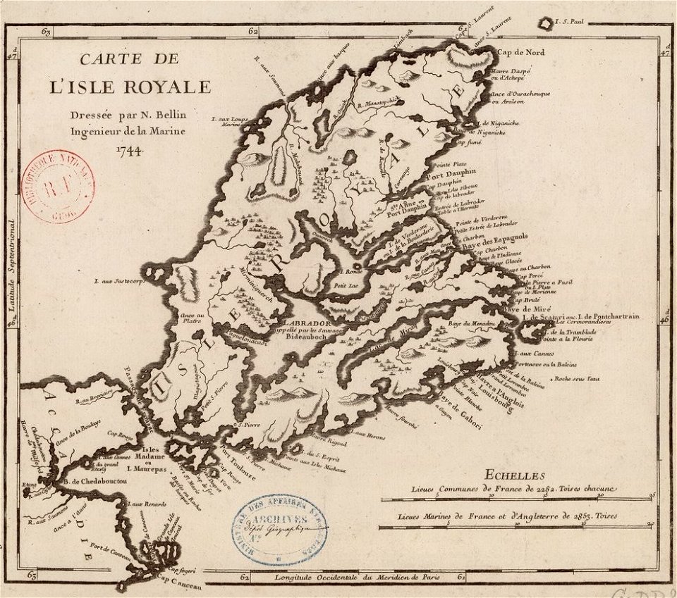
old maps of cape breton island
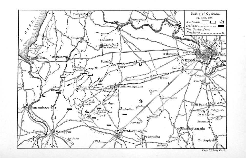
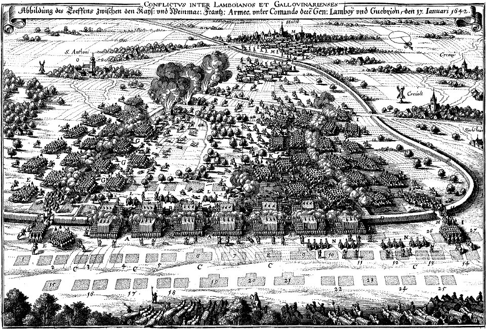
maps of battles of the thirty years' war
engravings of theatrum europaeum
popular science monthly illustrations/volume 16
eratosthenes
popular science monthly illustrations/volume 48
ice age maps
maps by willem and johannes blaeu
coats of arms of zeeland
details of müller's map of bohemia
history of týn nad vltavou
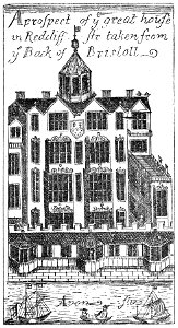
images from bristol past and present (1882)
millerd's map of bristol
bibliothèque municipale de reims
rès. g 152
miniature speed atlas (1627) pieter van den keere
maps of wales by john speed
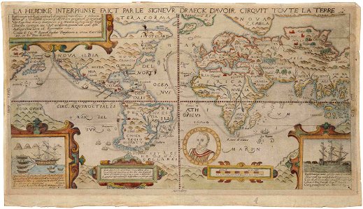
1590s maps of the world
francis drake
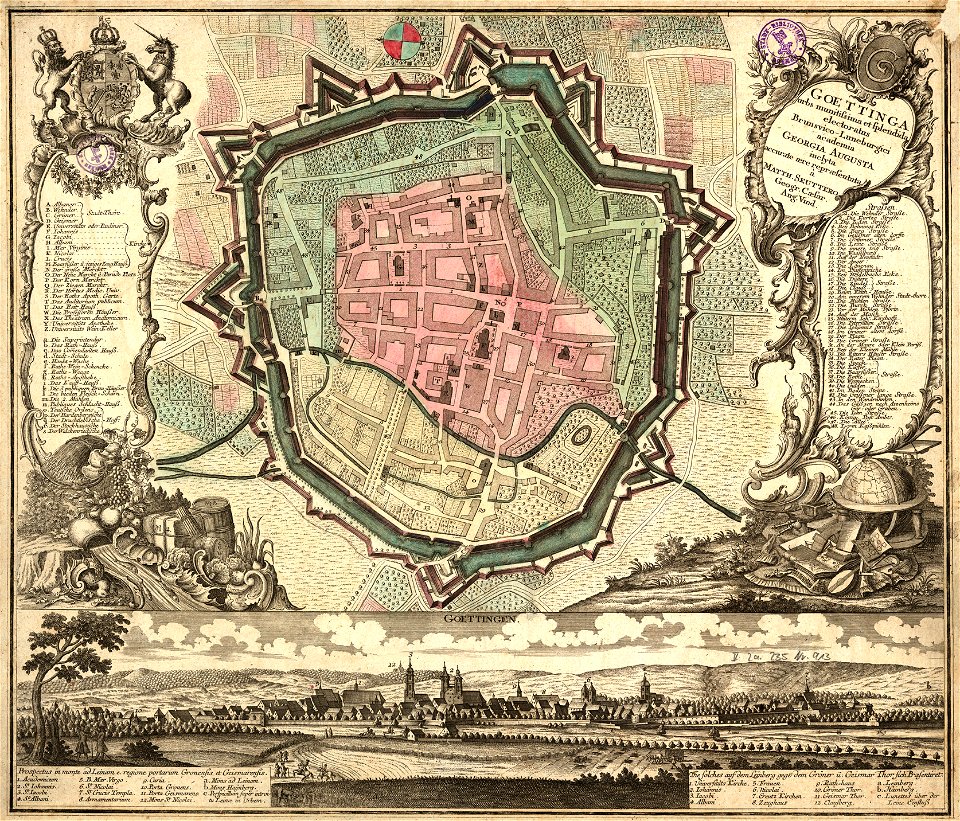
old maps of cities in germany
maps by matthäus seutter
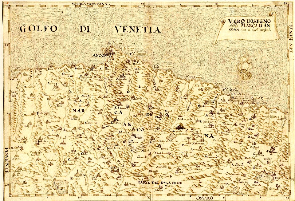
maps made in the 16th century
maps of the march of ancona
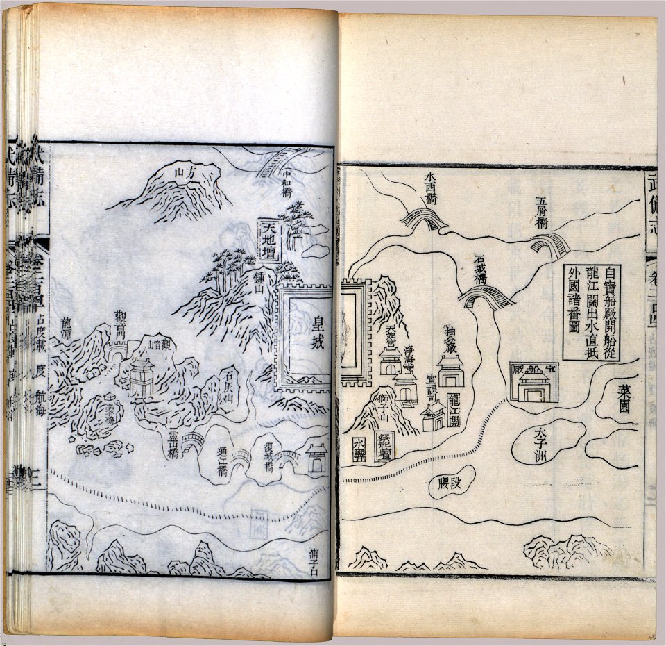
maps in the library of congress
mao kun map
massachusetts
warren
massachusetts
watertown
massachusetts
beverly
maps in the library of congress
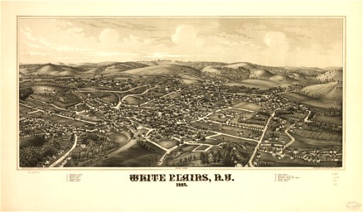
l. r. burleigh
university of toronto wenceslas hollar digital collection
maps by wenzel hollar
maps by jodocus hondius
samuel purchas
dutch 18th-century prints in the rijksmuseum amsterdam
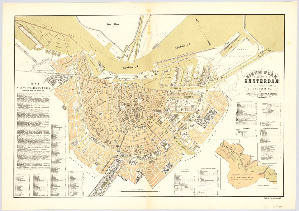
maps of amsterdam
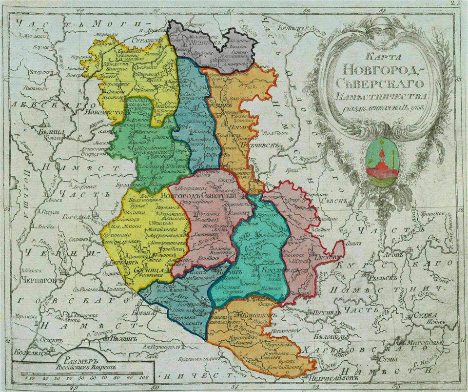
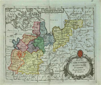
old maps of governorates of the russian empire
small atlas of the russian empire (1792)
small atlas of the russian empire (1796)
old maps of saint petersburg governorate
old maps of turkey
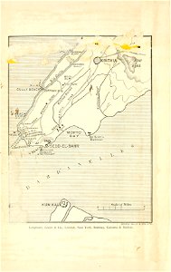
cape helles
items kept by the national museum of slovenia
february 2008 in ljubljana
images from bristol past and present (1882)
old maps of bristol
maps in the stadsarchief amsterdam
old maps of amsterdam
history of lorenzkirch
old maps of saxony
dutch bengal
1720s
johannes janssonius waasbergen
1672
johannes janssonius waasbergen
1672
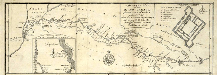
maps of the senegal river
1745
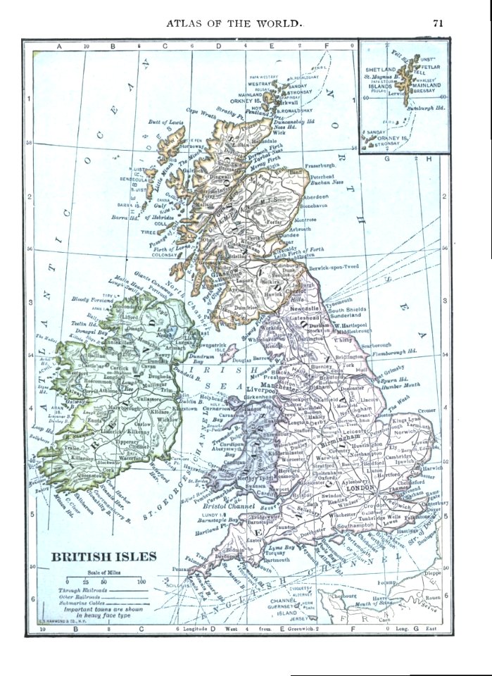
maps of the united kingdom of great britain and ireland
ireland in the 1900s
wagner & debes
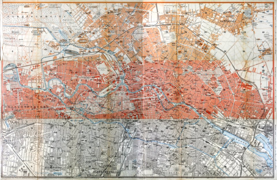
1914 in berlin
maps by willem and johannes blaeu
joan blaeu
eltville am rhein
1828
images from bristol past and present (1882)
buildings in bristol
charts and maps of the royal museums greenwich
maps of the sea of marmara
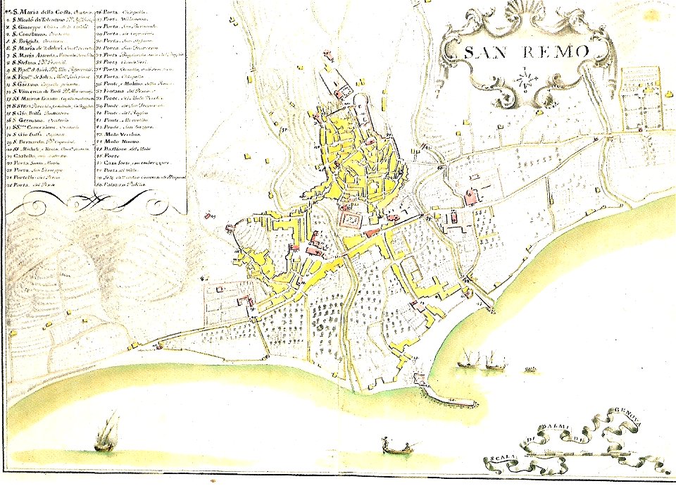
italian riviera
1773
die kunstdenkmäler des kreises konstanz (1887)
maps of baden-württemberg
maps in the library of congress
1783 maps of north america
history of leutkirch im allgäu
schloss zeil
old maps of vietnam
1899
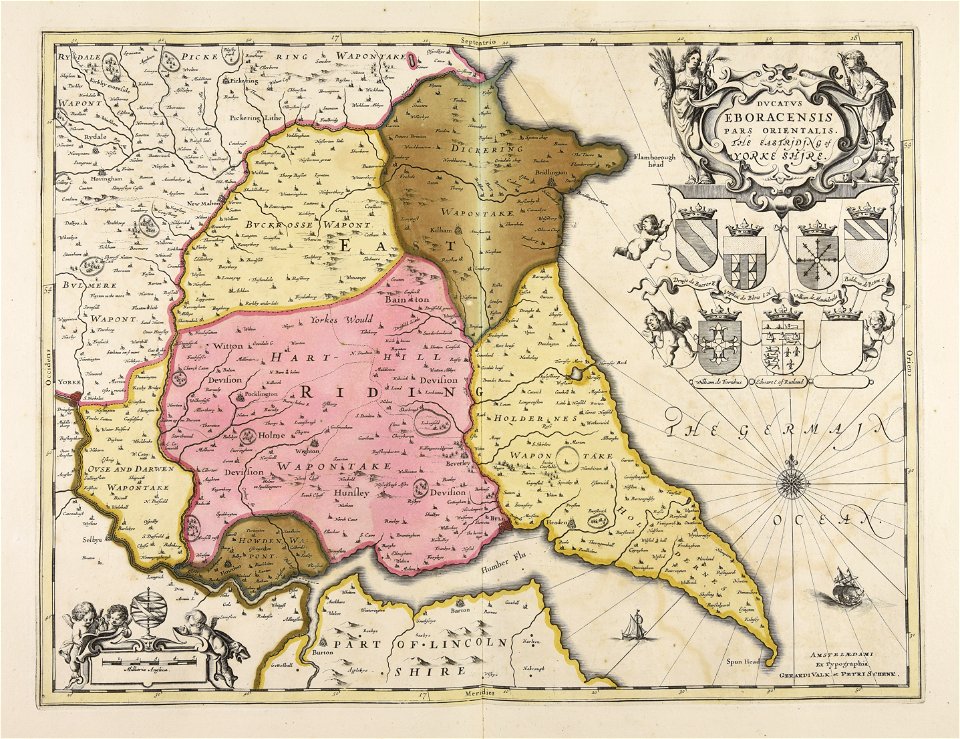
maps made in the 17th century
gerard valck
maps made in the 18th century
johann baptist homann
maps with cartouches
joan blaeu
maps with cartouches
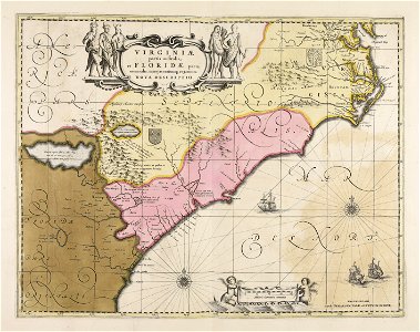
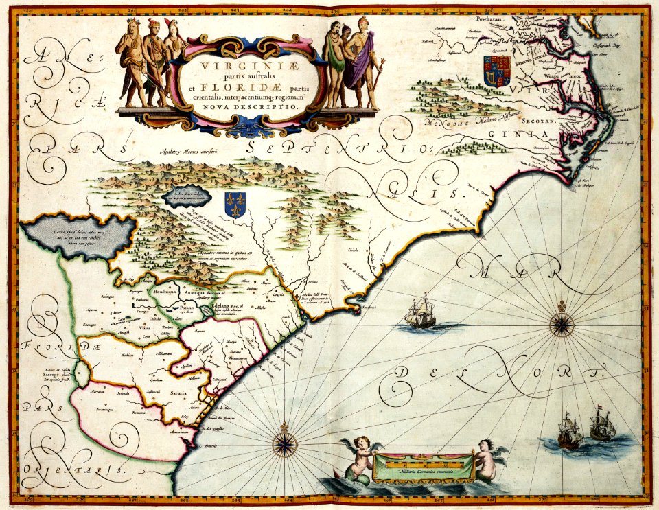
maps of virginia
maps with cartouches
old maps of canada
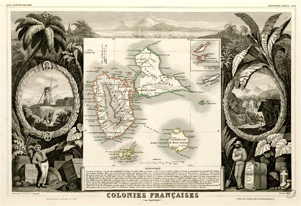
victor levasseur - maps of the world
historical images of arecaceae
maps made in the 17th century
gerard valck
maps by nicolaes visscher i
claes jansz. visscher (ii)
maps made in the 17th century
gerard valck
fonds ancely - bibliothèque municipale de toulouse - maps
saint vincent de paul
fonds ancely - bibliothèque municipale de toulouse - maps
victor levasseur - maps of the world
maps made in the 17th century
gerard valck
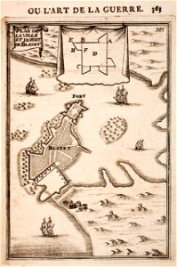
description des principales villes (1690)
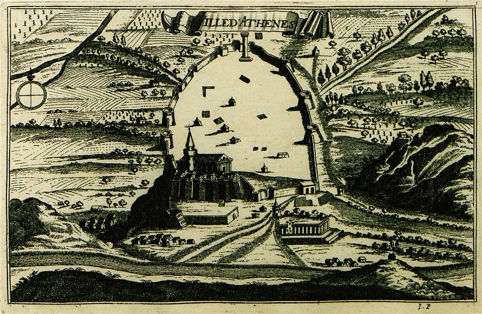
old maps of athens
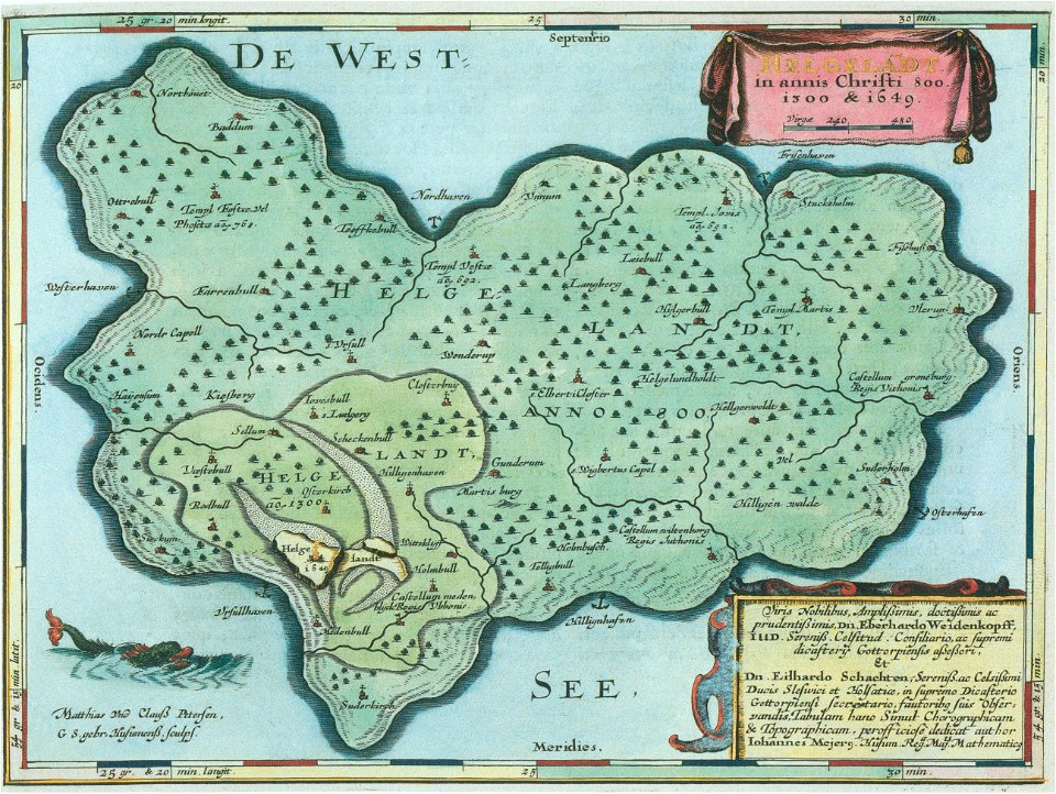
helgeladt in annis christi 800
1300 & 1649
maps in the library of congress
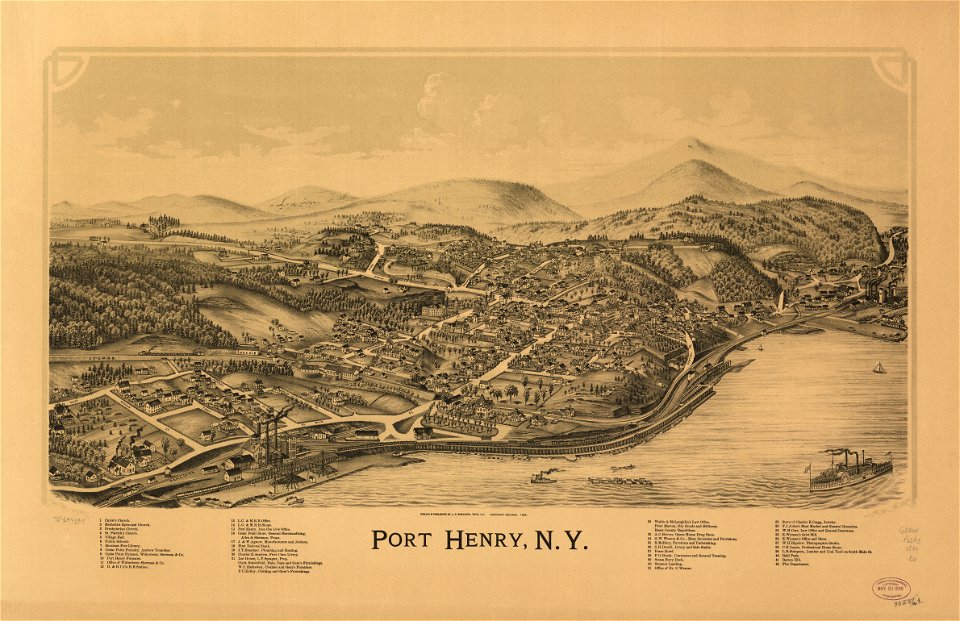
new york
massachusetts
warren
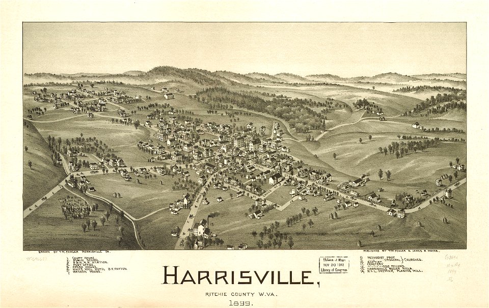
west virginia
harrisville
16th-century maps of the caribbean
theodor de bry
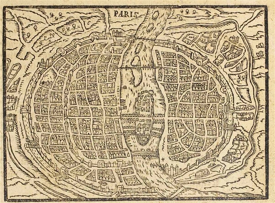
17th-century maps of paris
paris in the 16th century
maps of the dutch east india company - indonesia
1724
maps of the west-indische compagnie
1747)
maps of the west-indische compagnie
1780
maps by frederick de wit
copper engraving
small atlas of the russian empire (1796)
kharkov viceroyalty
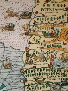
carta marina (details)
korsholm
maps in the library of congress
1783 maps of north america
maps in the library of congress
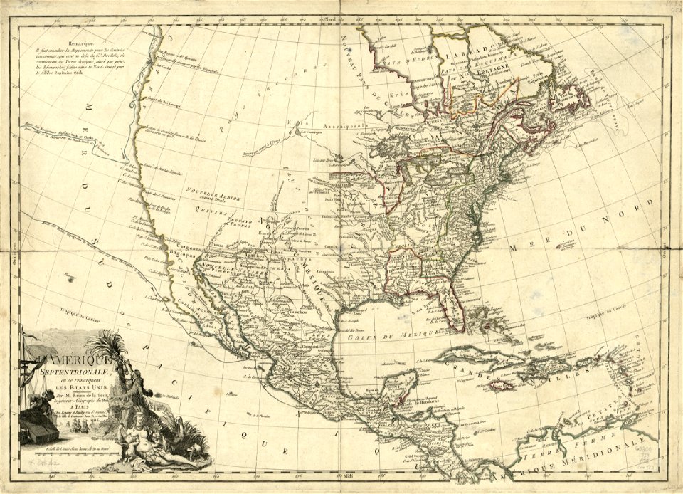
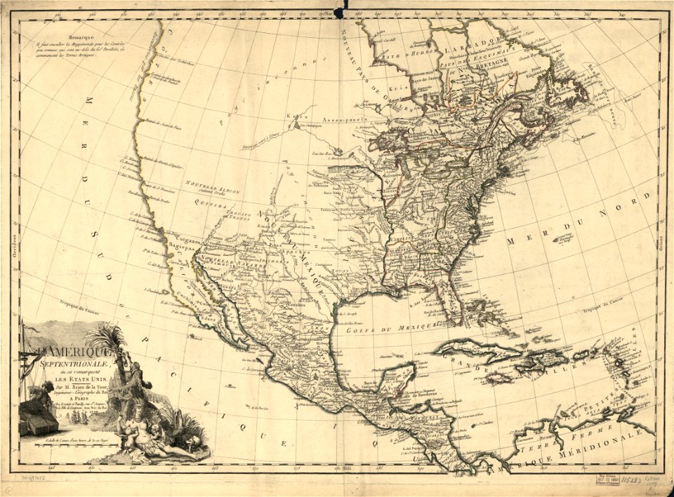
1788 maps of north america
maps in the library of congress
1783 maps of north america
maps in the library of congress
1783 maps of north america
maps in the library of congress
1788 maps of north america
maps in the library of congress
1783 maps of north america
maps in the library of congress
1783 maps of north america
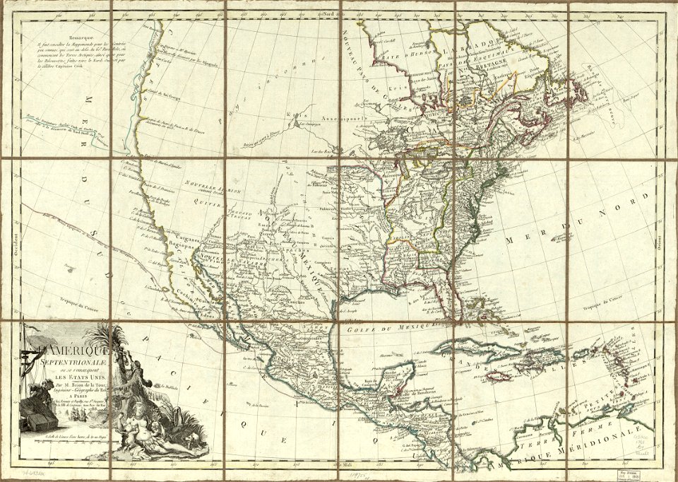
maps in the library of congress
1779 maps of north america
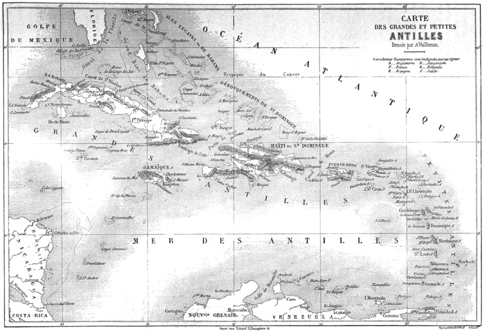
volume 2 of le tour du monde
maps by alexandre vuillemin
5201 - 5300 of 38,713
Next page
/ 388