Log in
All resources
Create a design
36,882 Free Artworks of Map
maps in the british museum
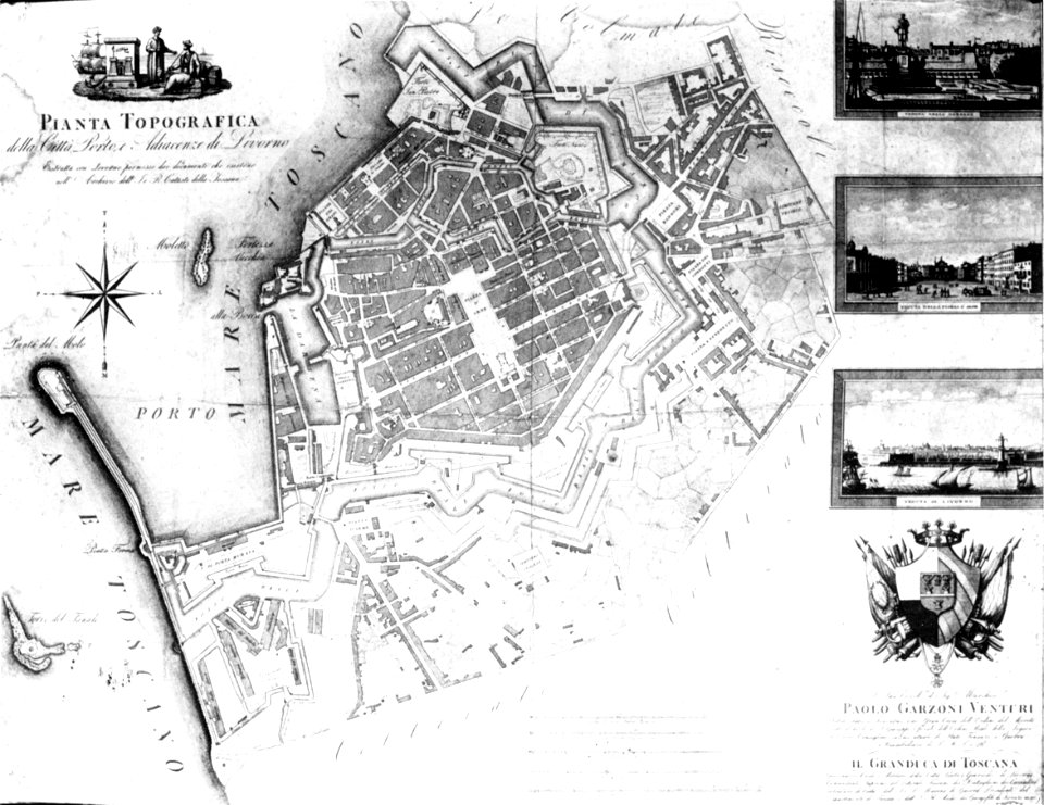
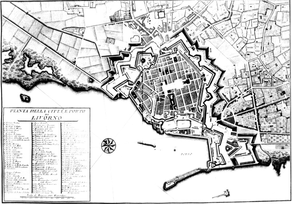
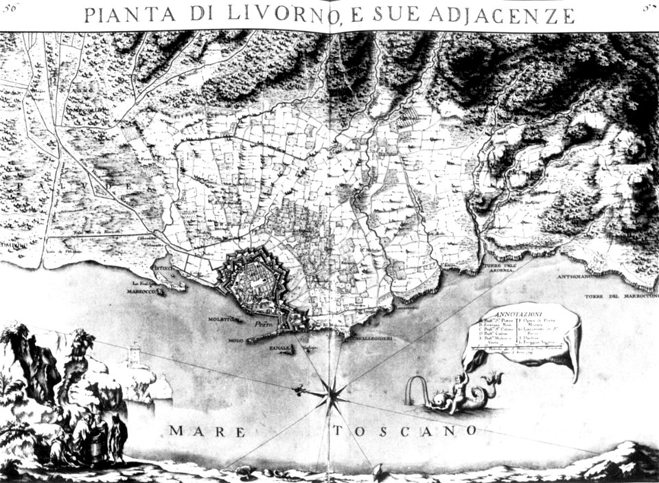
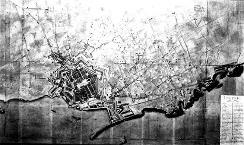
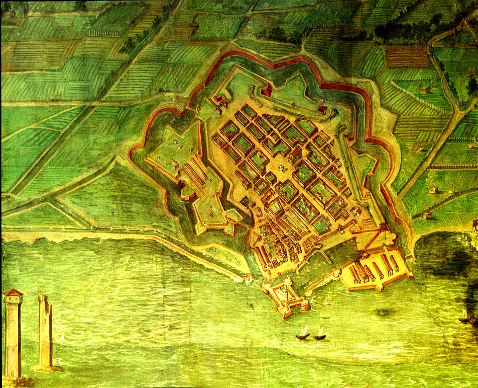
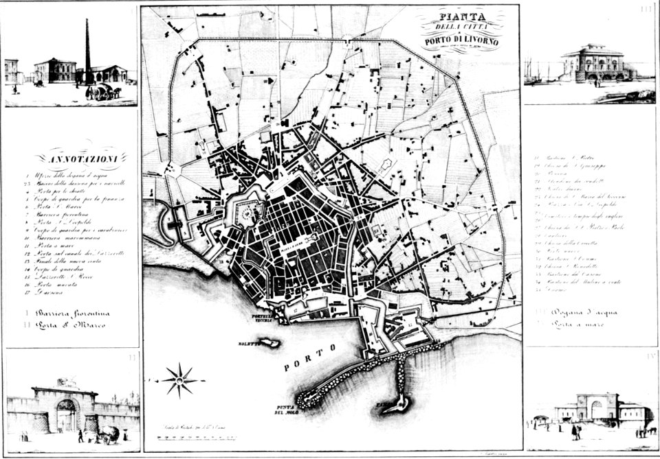
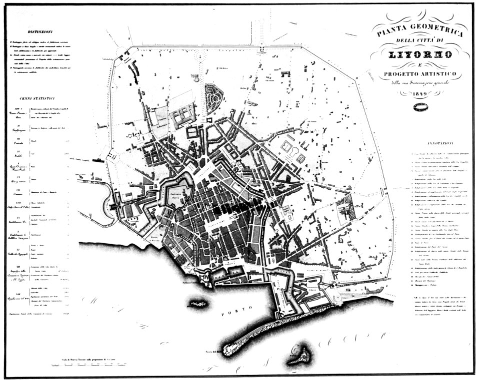
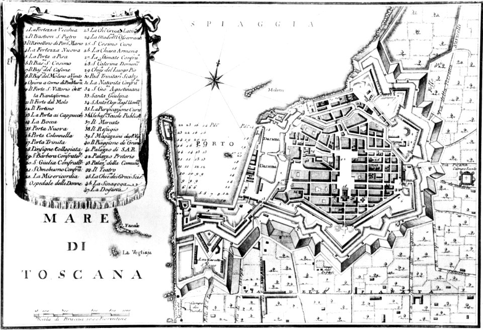
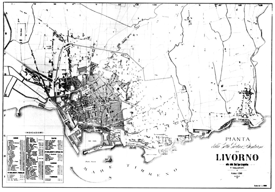
old maps of livorno
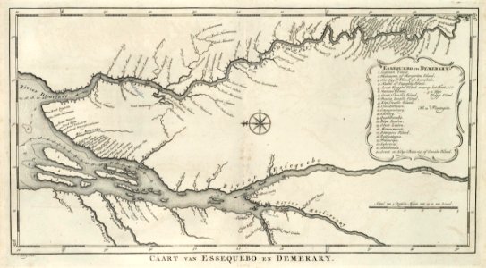
maps of the west-indische compagnie
maps by joseph hutchins colton
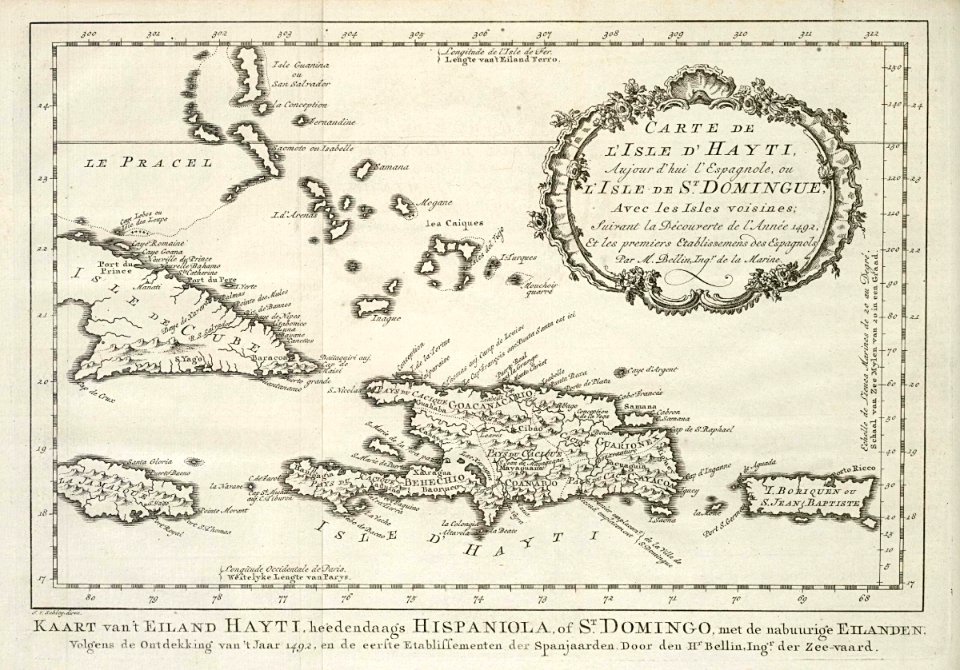
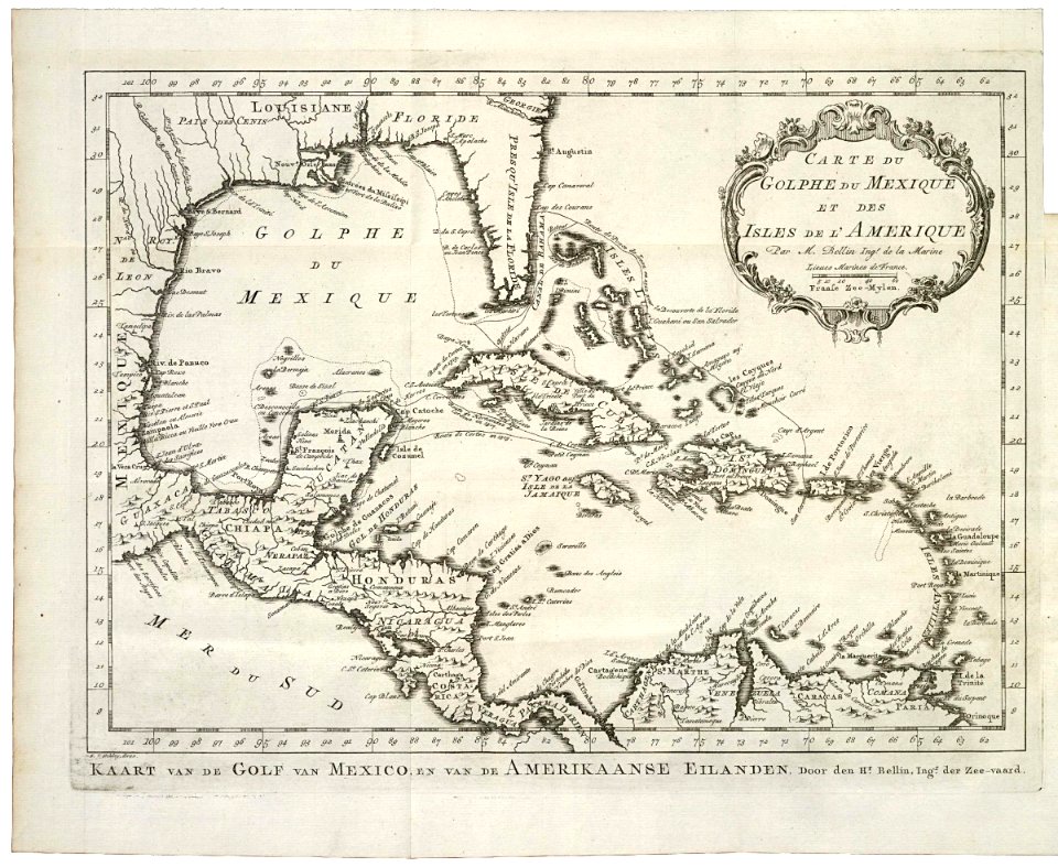
maps by jacques-nicolas bellin
daniel de la feuille
1665
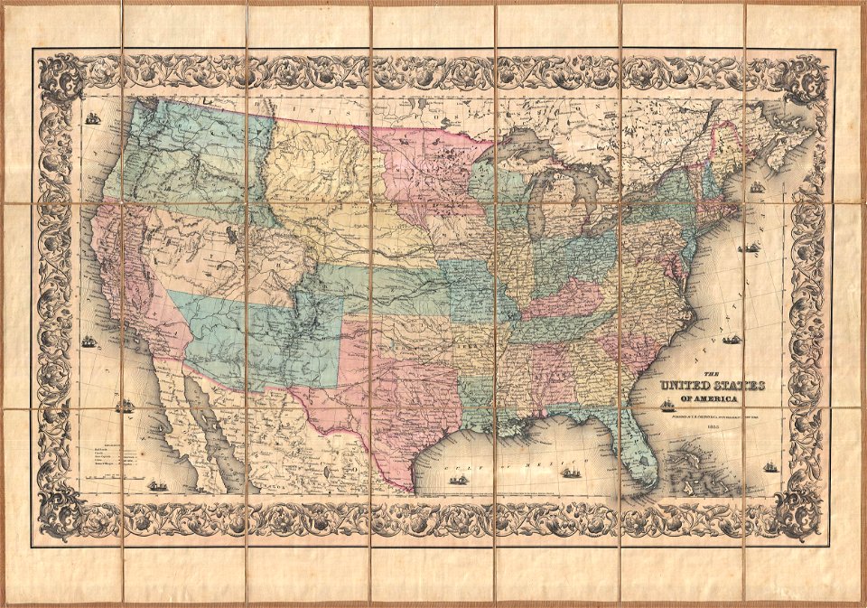
1855 maps
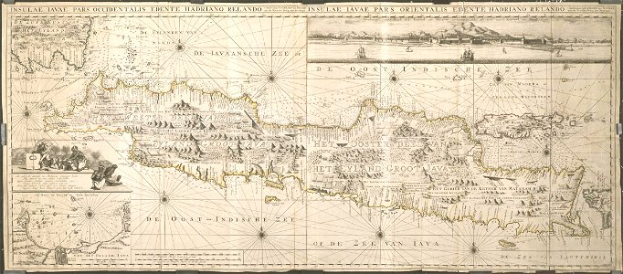
maps of the dutch east india company - indonesia
county maps of england by john speed
maps of the dutch east india company - indonesia
adriaan reland
old maps of the indian ocean
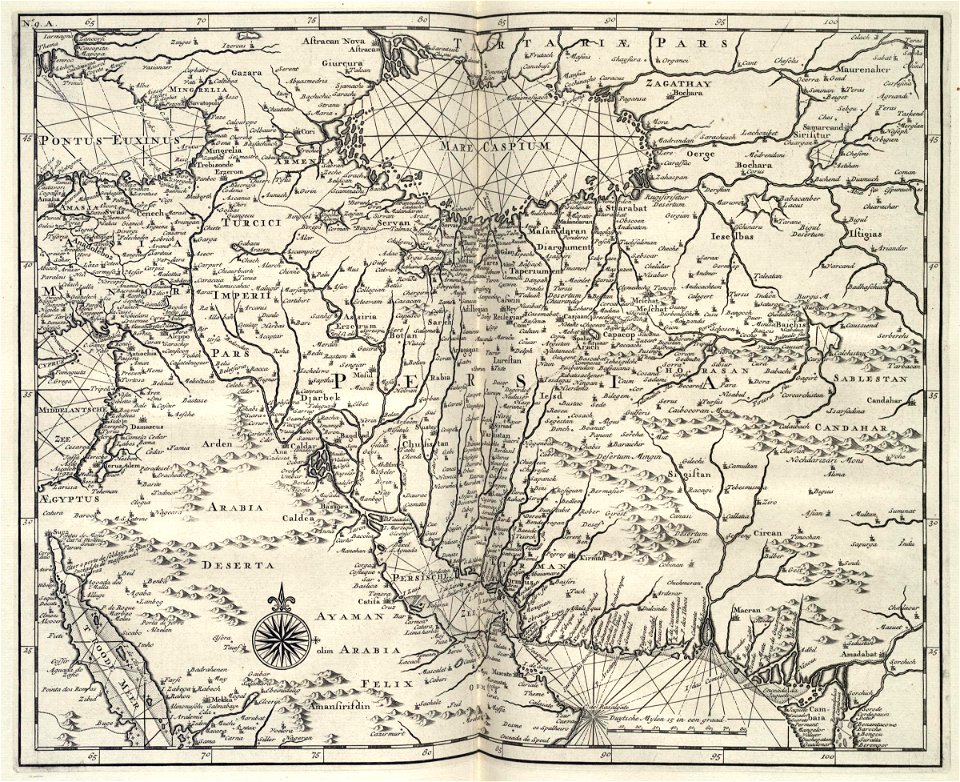
old maps of the middle east
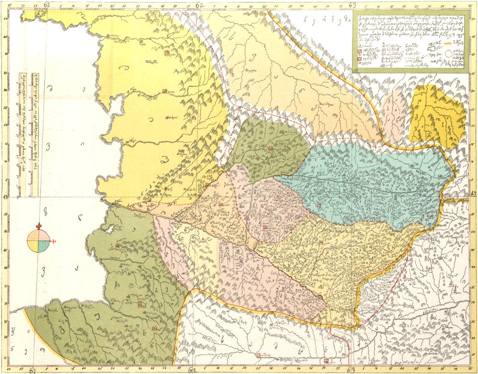
description of kingdom of georgia
its habits and canons
maps by joseph hutchins colton
english-language maps
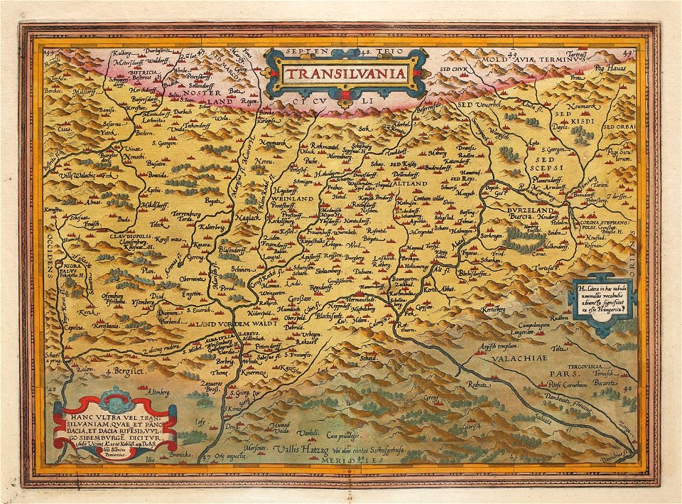
1575 maps of transylvania
johannes sambucus
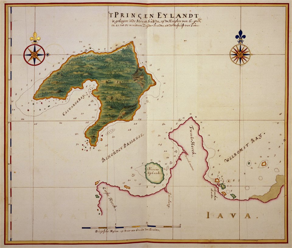
17th-century maps of indonesia
johannes vingboons
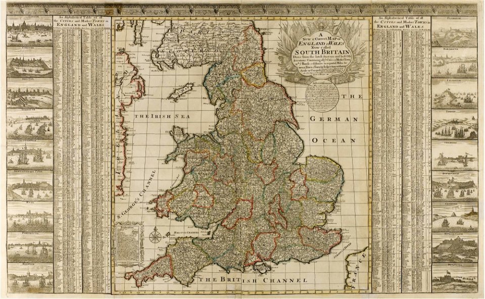
old maps of england
old maps of wales
lawrence h. slaughter collection of english maps, charts, globes, books and atlases
nypl lionel pincus and princess firyal map division
maps of the adirondack mountains
old maps of new york (state)
county maps of england by john speed
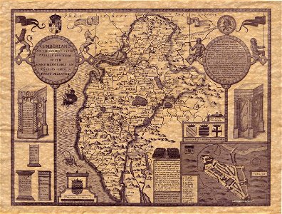
old county maps of cumberland
maps from the mechanical curator collection
1868 maps
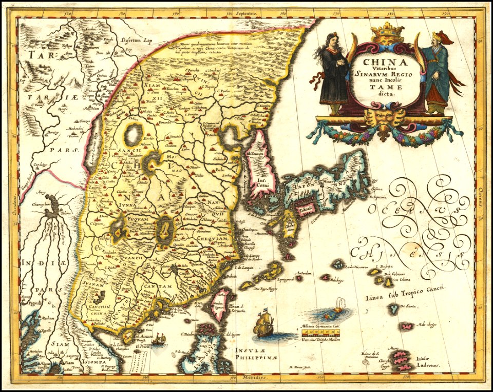
maps of the deccan sultanates
old maps of santa catarina
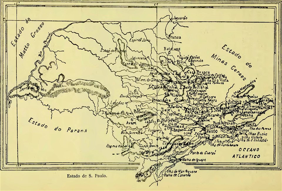
old maps of são paulo
matthäus merian
1636 maps
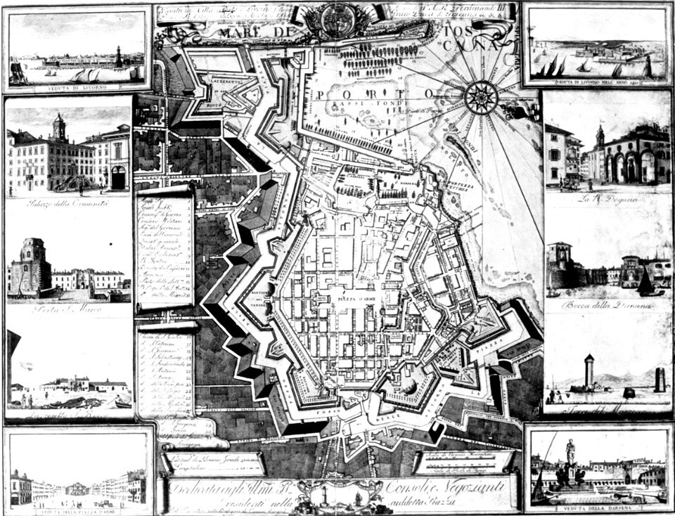
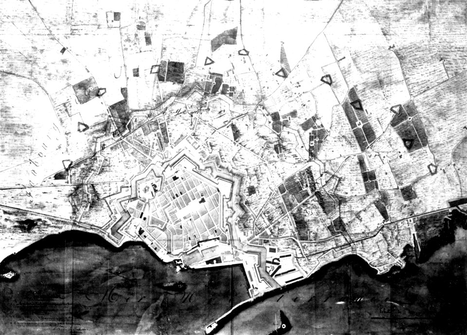
old maps of livorno
old maps of livorno
old maps of livorno
old maps of livorno
old maps of livorno
old maps of livorno
old maps of livorno
old maps of livorno
old maps of livorno
old maps of livorno
old maps of livorno
old maps of livorno
maps of the west-indische compagnie
1770
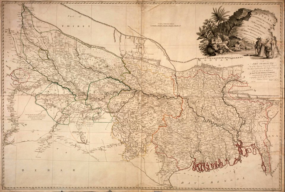
maps of the dutch east india company - india
1786 maps
old maps of the dutch east india company
1726 maps
prints from dankaerts historis at the peace palace library
maps by johannes janssonius
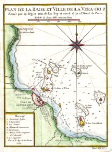
old maps of mexico
veracruz
description de l'universe
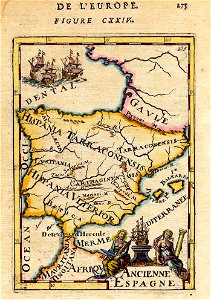
1680s maps of spain
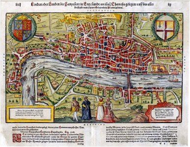
maps of london by sebastian münster
1598 maps of europe
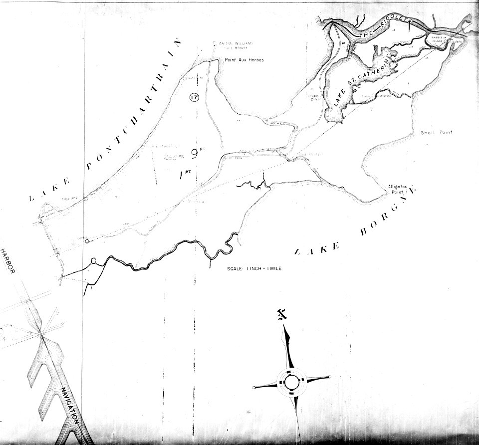
maps of eastern new orleans
the rigolets
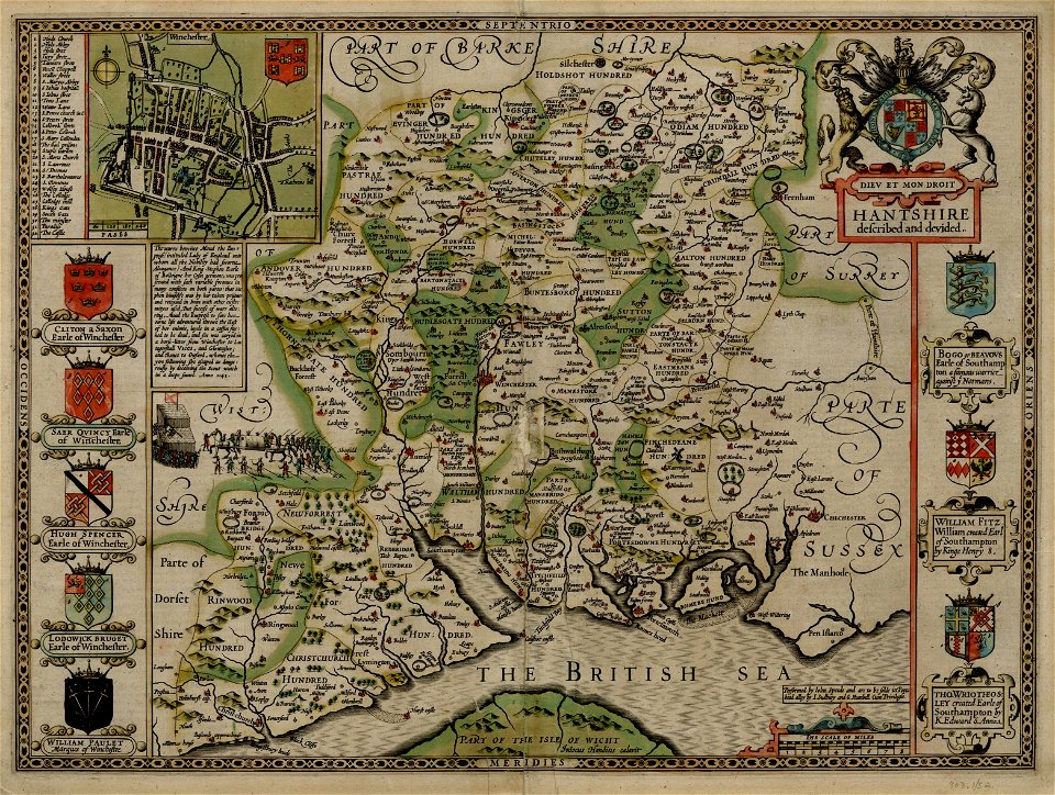
county maps of england by john speed
old county maps of hampshire
french-language maps
johannes ratelband
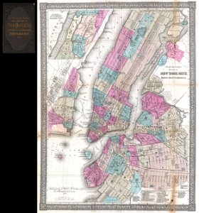
new york city
1867 maps
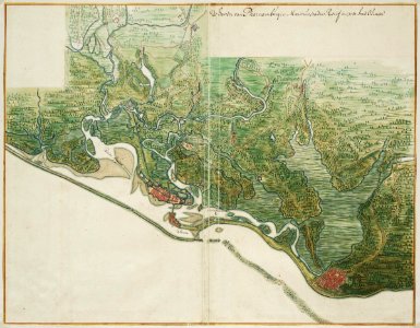
old maps of pernambuco
1665
old maps of the dutch east india company
1753 maps
maps by jacques-nicolas bellin
1768
maps of the west-indische compagnie
1665
maps by jacques-nicolas bellin
1768
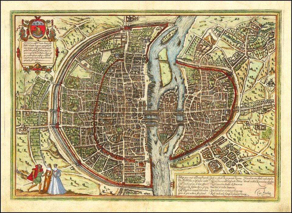
maps of paris from the barry lawrence ruderman antique maps inc.
maps of paris by braun & hogenberg
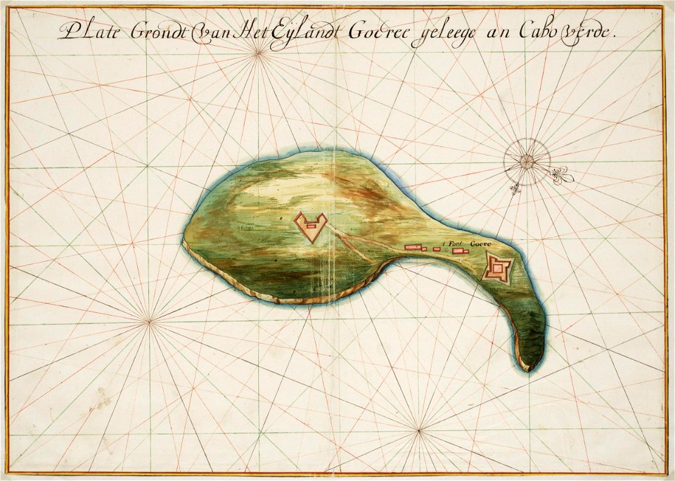
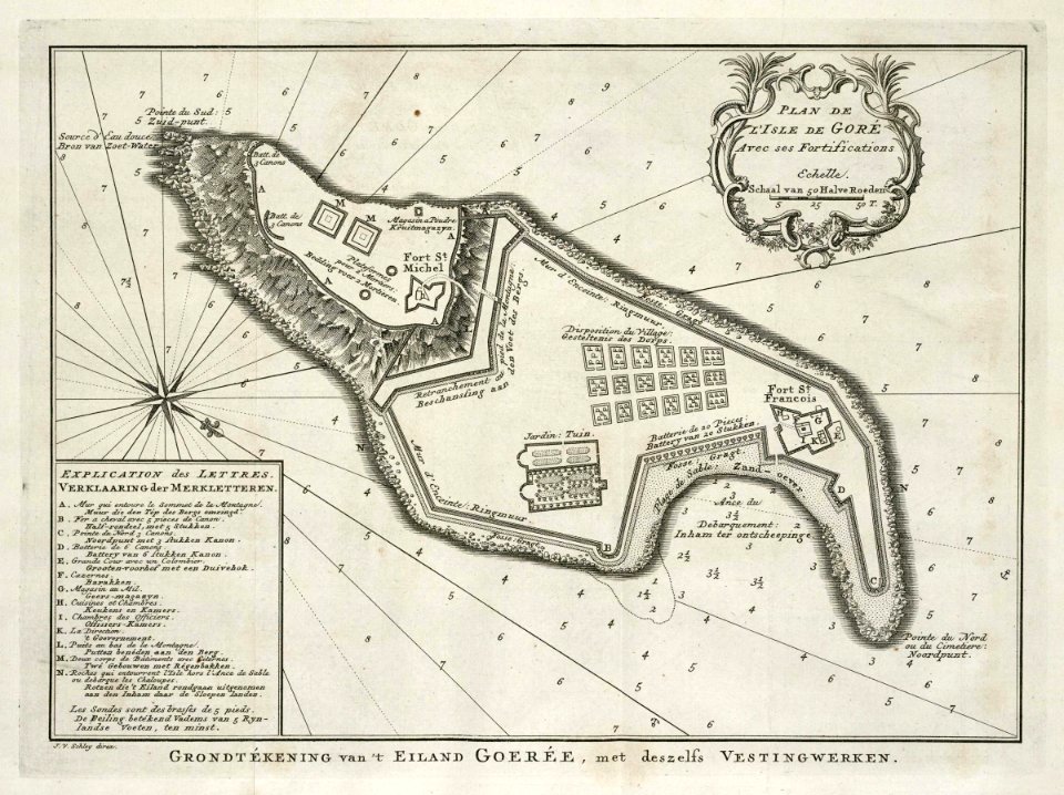
old maps of gorée
1665
maps of the west-indische compagnie
old maps of gorée
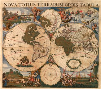
17th-century maps of the world
maps by frederick de wit
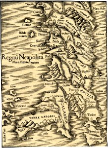
maps of the kingdom of naples
maps in the british museum
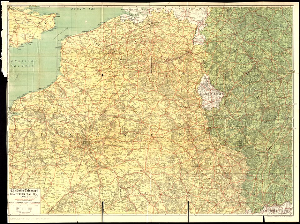
maps of world war i by the daily telegraph
1915 maps
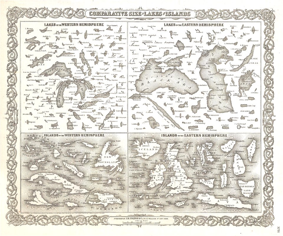
geographic comparison diagrams
1855 maps
old maps of ladakh
qinghai lake
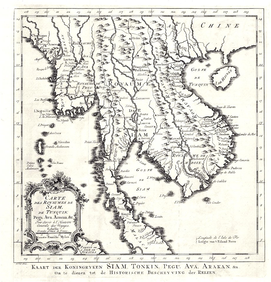
old maps of thailand
old maps of myanmar
old maps of the saint lawrence river
history of quebec
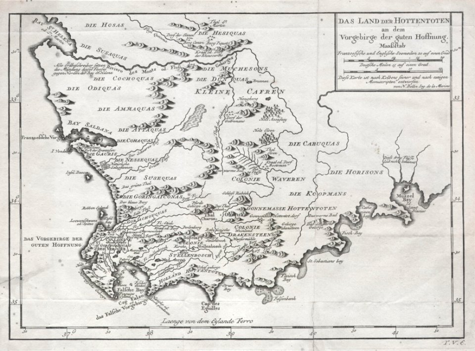
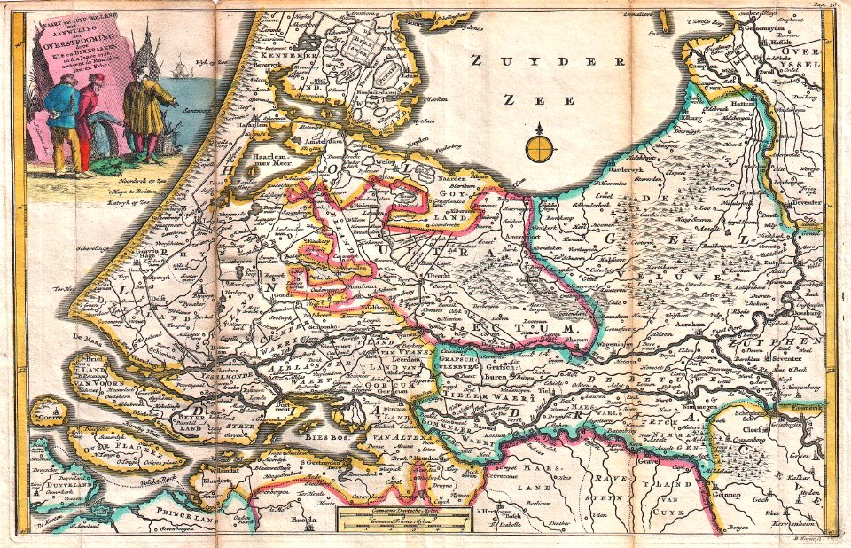
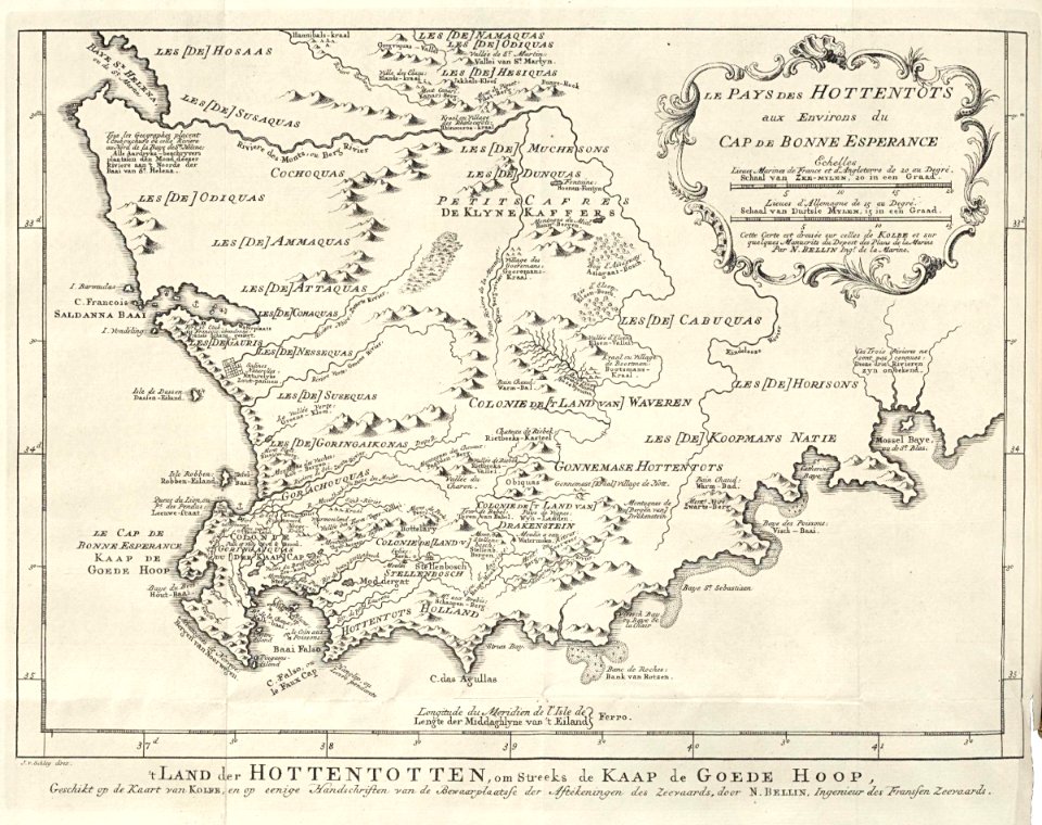
old maps of south africa
german-language maps
maps in the library of congress
maps by matthäus seutter
johannes ratelband
jan goeree
maps of the west-indische compagnie
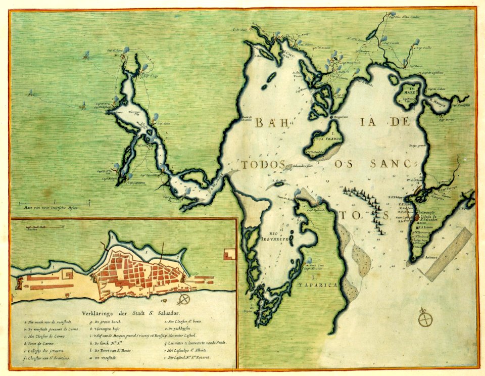
old maps of bahia
1747 maps
khoikhoi
geographic comparison diagrams
1855 maps
bird's-eye views of paris
1860 in paris
atlas des anciens plans de paris by imprimerie nationale, 1880 from bhvp
map of paris by françois quesnel
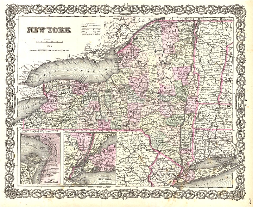
maps by joseph hutchins colton
1855 maps of new york (state)
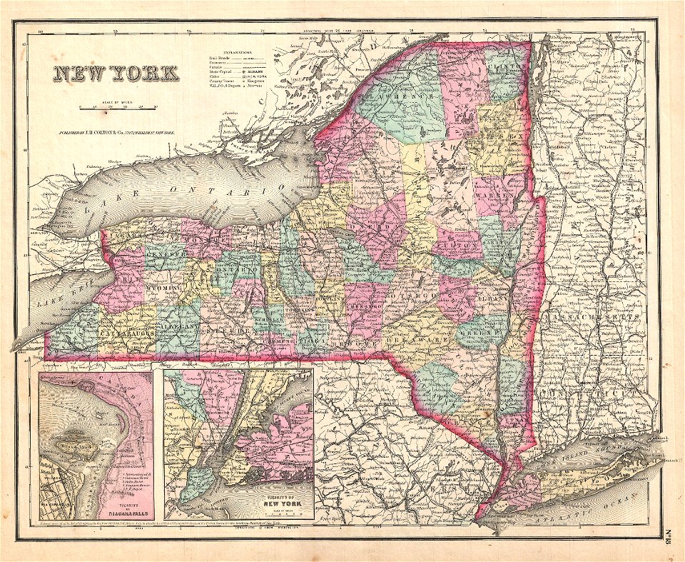
maps by joseph hutchins colton
1857 maps of new york (state)
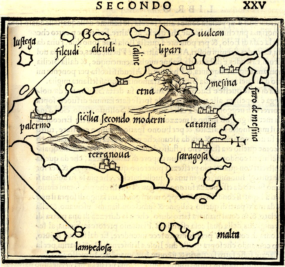
isolario di benedetto bordone (1547)
maps by benedetto bordon
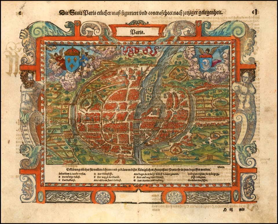
maps of paris in the 16th century
16th-century maps of paris
maps by abraham ortelius
old maps of livorno
old maps of livorno
maps in the british museum
maps in the british museum
maps in the british museum
maps in the british museum
maps in the british museum
maps in the british museum
maps in the british museum
maps in the british museum
maps in the british museum
maps in the british museum
maps in the british museum
maps in the british museum
maps in the british museum
maps in the british museum
maps in the british museum
maps in the british museum
maps in the british museum
maps in the british museum
maps in the british museum
maps in the british museum
maps in the british museum
maps in the british museum
maps in the british museum
maps in the british museum
old maps of nile delta
1821 books
map of paris by claes jansz. visscher - derivate files
17th-century people of paris
map of paris by claes jansz. visscher - derivate files
17th-century people of paris
19th-century maps of the mediterranean sea
1865 maps
thomas abernethy (explorer)
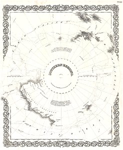
old maps of antarctica
18th-century maps of indonesia
1724
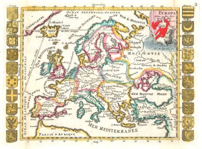
french-language maps of europe
coats of arms on maps
backs of postcards in curt teich postcard archives
postcards of st. louis, missouri
3501 - 3600 of 36,882
Next page
/ 369