Log in
All resources
Create a design
36,882 Free Artworks of Map
maps by joseph hutchins colton
bibliothèque nationale de france
1855 maps
a map of the british empire in america with the french and spanish settlements adjacent thereto
maps in the library of congress
eran laor cartographic collection
henricus hondius ii, nova totius terrarum orbis geographica ac hydrographica tabula, 1630
national library of israel
henricus hondius ii
cartouche (cartography)
turgot map of paris, musée carnavalet
maps of paris from paris musées
early netherlandish painting
t and o map
old maps of the danube
1552 maps
maps by joseph hutchins colton
1855 maps
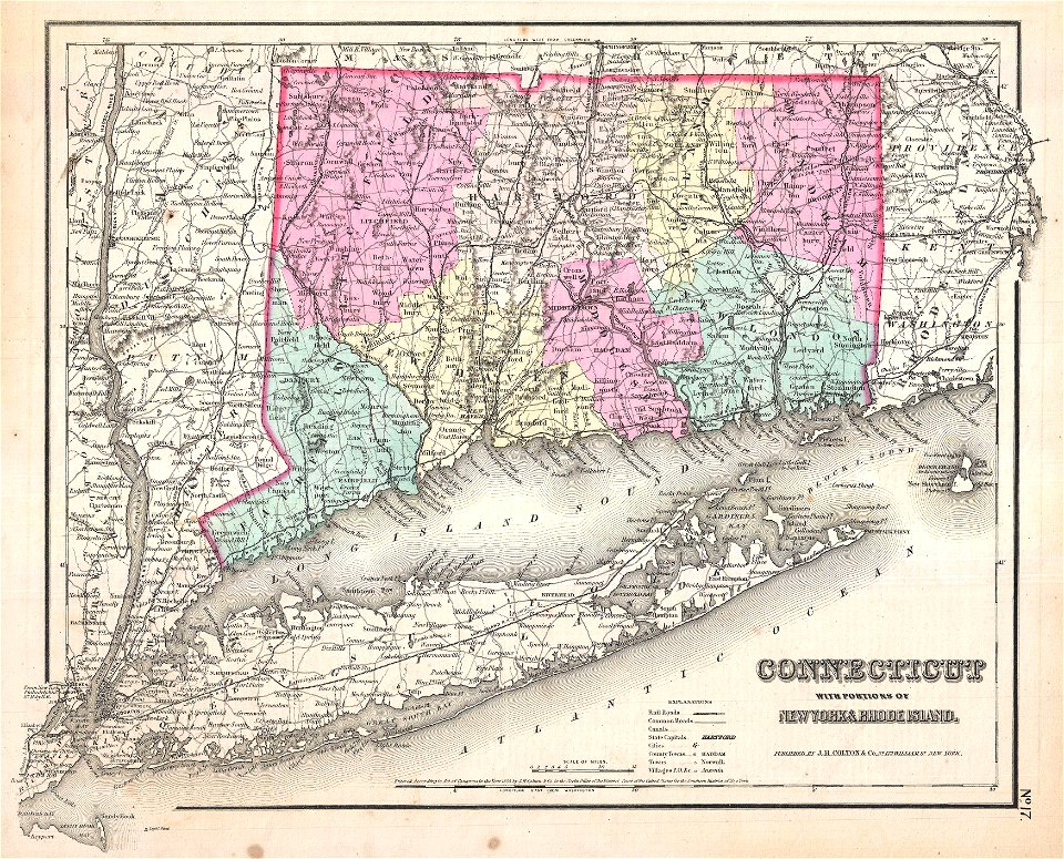
old maps of connecticut
1857 maps
english-language maps from ios map collection
classicism
works after map of amsterdam, 1544
maps in the rijksmuseum amsterdam
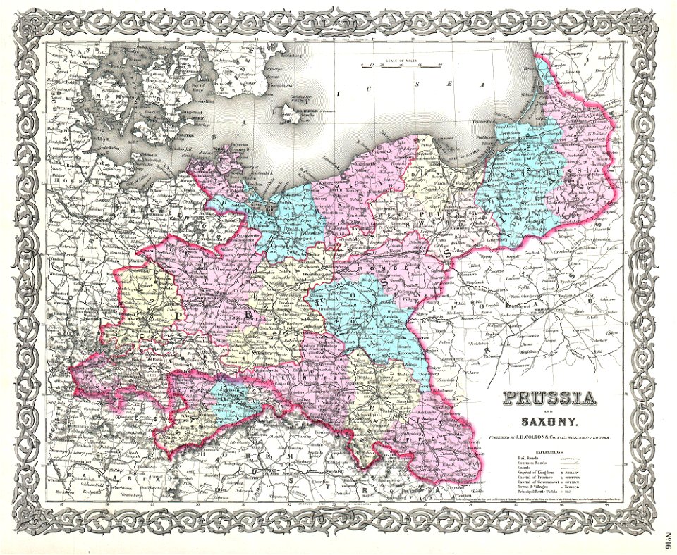
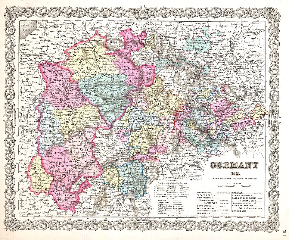
old maps of saxony
1856 maps
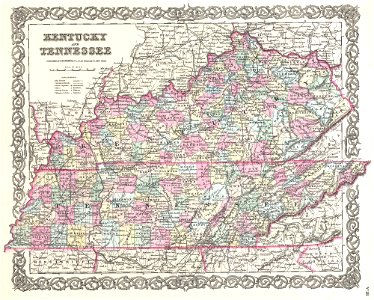
old maps of kentucky
1855 maps
brazilian paintings in the museu antônio parreiras
antônio rafael pinto bandeira
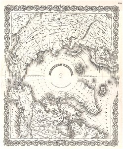
maps of north pole
1855 maps
maps of new england
1857 maps
history of whitby, north yorkshire
british library maps collections
henricus hondius ii, nova totius terrarum orbis geographica ac hydrographica tabula, 1630
eran laor cartographic collection
henricus hondius ii, nova totius terrarum orbis geographica ac hydrographica tabula, 1630
eran laor cartographic collection
henricus hondius ii, nova totius terrarum orbis geographica ac hydrographica tabula, 1630
eran laor cartographic collection
henricus hondius ii, nova totius terrarum orbis geographica ac hydrographica tabula, 1630
eran laor cartographic collection
turgot map of paris, kyoto university library – derivative files
lycée henri-iv
a map of the british empire in america with the french and spanish settlements adjacent thereto
bibliothèque nationale de france
a map of the british empire in america with the french and spanish settlements adjacent thereto
bibliothèque nationale de france
a map of the british empire in america with the french and spanish settlements adjacent thereto
bibliothèque nationale de france
a map of the british empire in america with the french and spanish settlements adjacent thereto
bibliothèque nationale de france
a map of the british empire in america with the french and spanish settlements adjacent thereto
bibliothèque nationale de france
a map of the british empire in america with the french and spanish settlements adjacent thereto
bibliothèque nationale de france
a map of the british empire in america with the french and spanish settlements adjacent thereto
bibliothèque nationale de france
a map of the british empire in america with the french and spanish settlements adjacent thereto
bibliothèque nationale de france
a map of the british empire in america with the french and spanish settlements adjacent thereto
bibliothèque nationale de france
a map of the british empire in america with the french and spanish settlements adjacent thereto
bibliothèque nationale de france
a map of the british empire in america with the french and spanish settlements adjacent thereto
bibliothèque nationale de france
a map of the british empire in america with the french and spanish settlements adjacent thereto
bibliothèque nationale de france
a map of the british empire in america with the french and spanish settlements adjacent thereto
bibliothèque nationale de france
a map of the british empire in america with the french and spanish settlements adjacent thereto
bibliothèque nationale de france
a map of the british empire in america with the french and spanish settlements adjacent thereto
bibliothèque nationale de france
a map of the british empire in america with the french and spanish settlements adjacent thereto
bibliothèque nationale de france
henricus hondius ii, nova totius terrarum orbis geographica ac hydrographica tabula, 1630
eran laor cartographic collection
henricus hondius ii, nova totius terrarum orbis geographica ac hydrographica tabula, 1630
eran laor cartographic collection
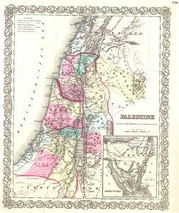
maps of ancient israel by philippe de la rué
map of modern syria by philippe de la rué
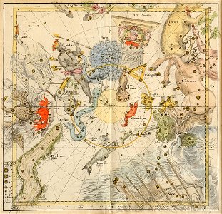
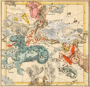
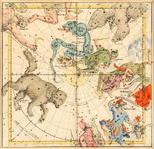
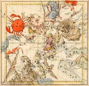
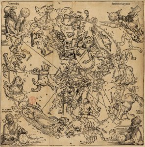
old celestial maps
old celestial maps
old celestial maps
old celestial maps
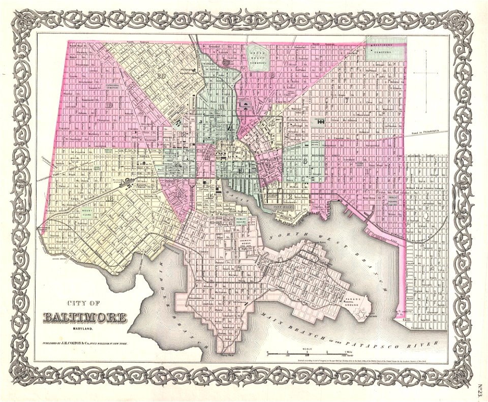
maps by joseph hutchins colton
1855 maps
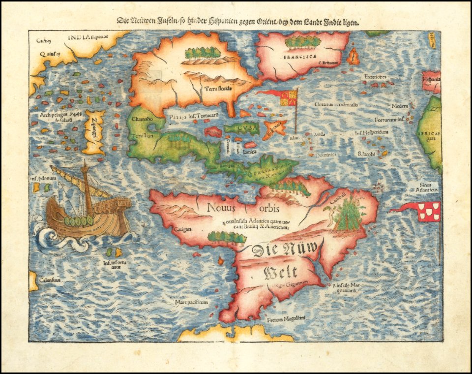
maps by sebastian münster
ptolemaic world maps
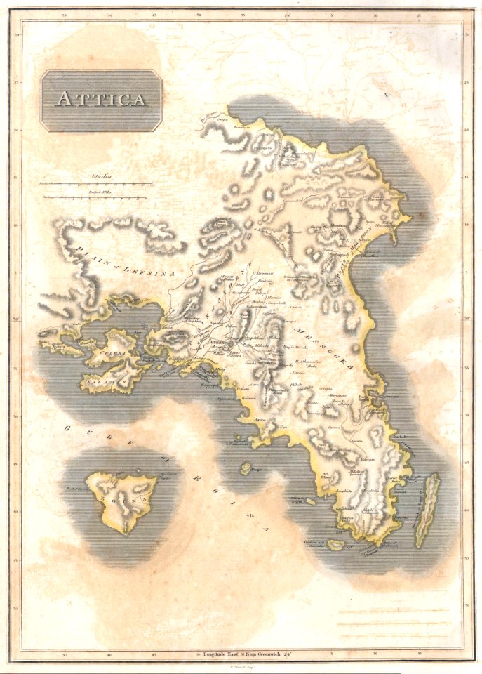
old maps of greece
1896 maps
maps in the library of congress
1889 maps
maps in the library of congress
1889 maps
1490s maps of the world
ptolemaic world maps
maps by sebastian münster
1561 maps
maps in the library of congress
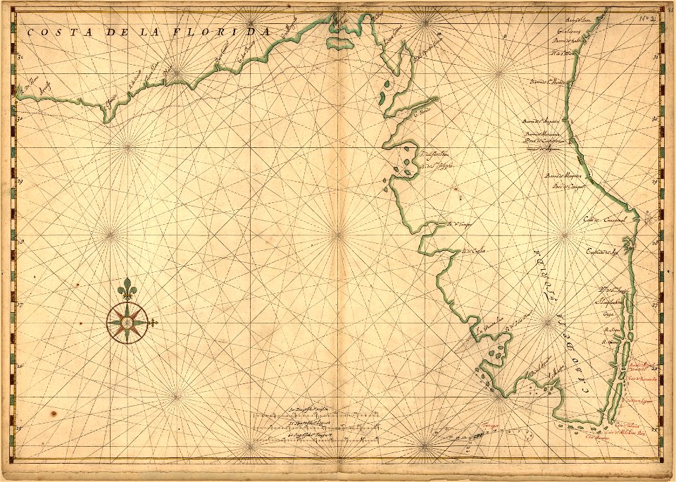
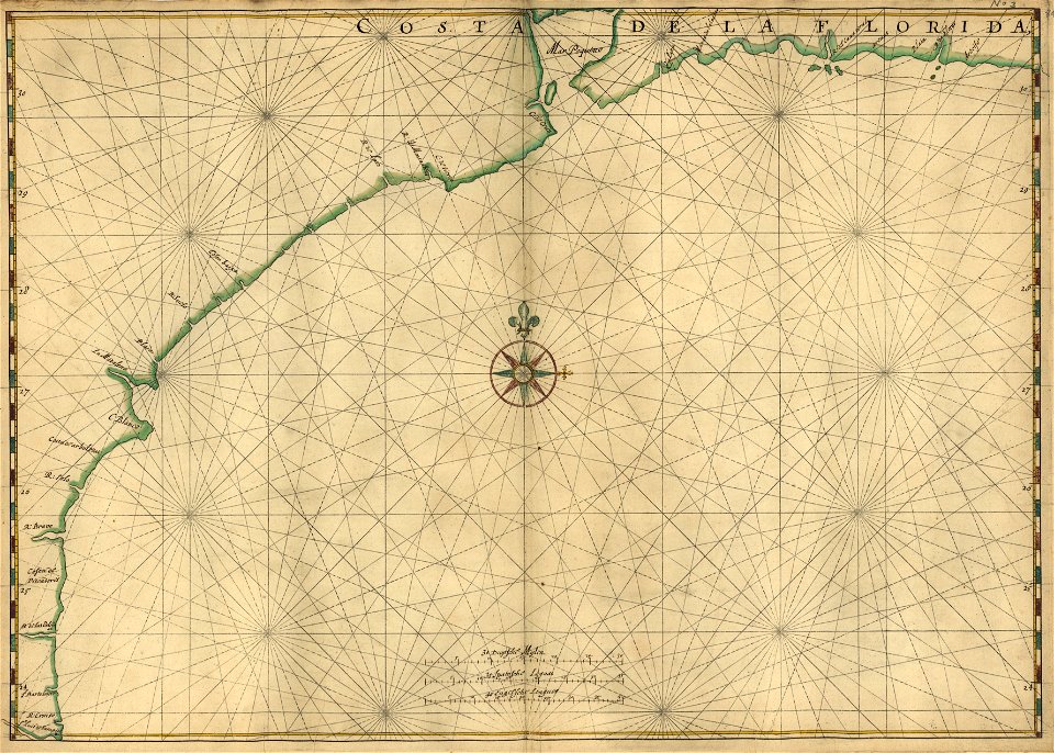
old maps of florida
maps in the library of congress
old maps of florida
maps in the library of congress
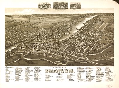
1890 maps
old maps of asia
1855 maps
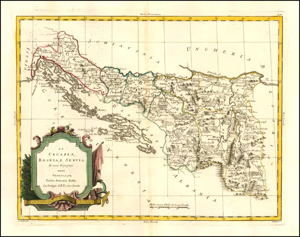
old maps of bosnia and herzegovina
old maps of croatia
maps of paris from bibliothèque nationale de france
fourth map of paris from traité de la police
henricus hondius ii, nova totius terrarum orbis geographica ac hydrographica tabula, 1630
eran laor cartographic collection
henricus hondius ii, nova totius terrarum orbis geographica ac hydrographica tabula, 1630
eran laor cartographic collection
henricus hondius ii, nova totius terrarum orbis geographica ac hydrographica tabula, 1630
eran laor cartographic collection
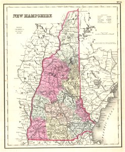
old maps of new hampshire
old maps of vermont
english-language maps
athens
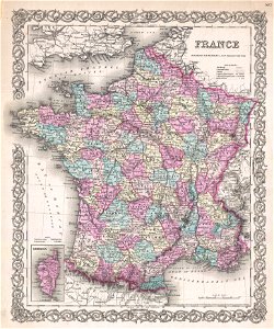
19th-century maps of france
1855 maps
sanborn fire insurance map from flushing, queens county, new york
maps in the library of congress
old maps of luxembourg
1855 maps
nicolas sanson. “mappe-monde, ou carte generale du monde.”
map of the bosphorus strait by guillaume sanson (1665)
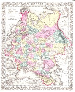
old maps of the russian empire
1855 maps
maps of native american tribal territories
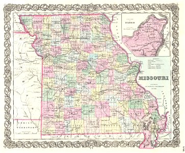
old maps of missouri
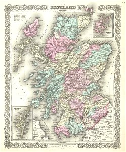
maps of traditional counties of scotland
old maps of scotland
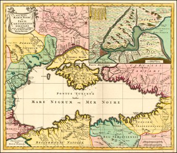
18th-century maps of the black sea
maps by matthäus seutter
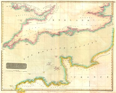
admiralty charts region r: usa and mexico west coasts
admiralty charts 401-600
old maps of asia
1855 maps
19th-century maps of london
1855 maps
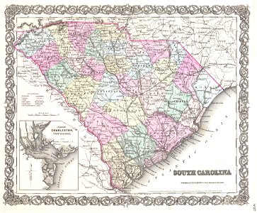
old maps of south carolina
1855 maps
old maps of new hampshire
1857 maps
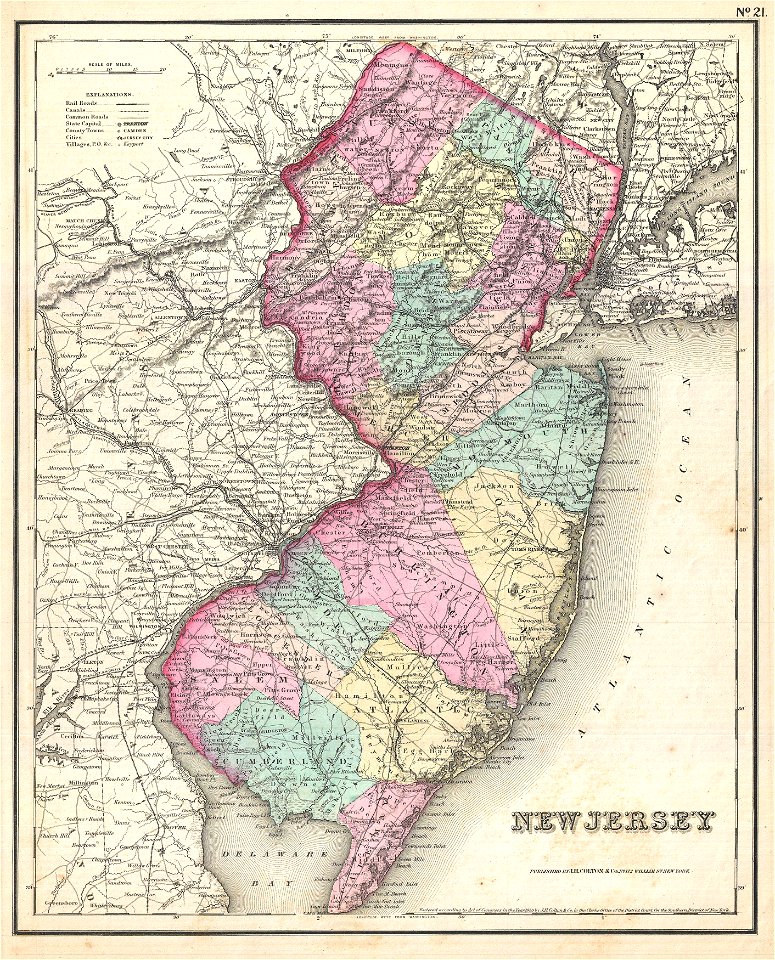
old maps of new jersey
1857 maps
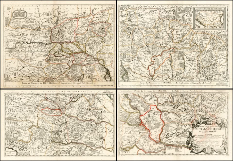
old maps of the balkans
vincenzo coronelli
maps in the library of congress
1893 maps
maps in the library of congress
1893 maps
maps in the library of congress
1893 maps
dutch baroque architecture
mans spoor-dijkema
maps by matthäus seutter
latin-language maps
old maps of the world
1846 maps
old maps of trentino-south tyrol
english-language maps
atlas géographique des quatre parties du monde (delisle)
map of scandinavia by guillaume de l'isle (1706)
atlas géographique des quatre parties du monde (delisle)
map of scandinavia by guillaume de l'isle (1706)
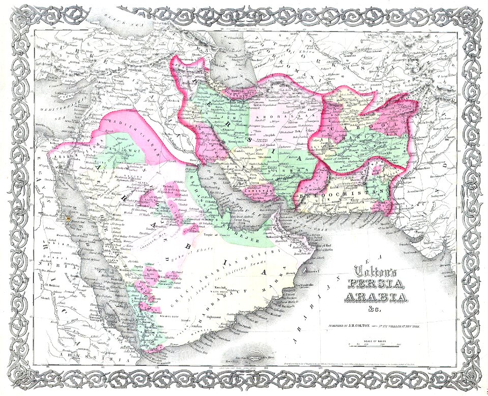
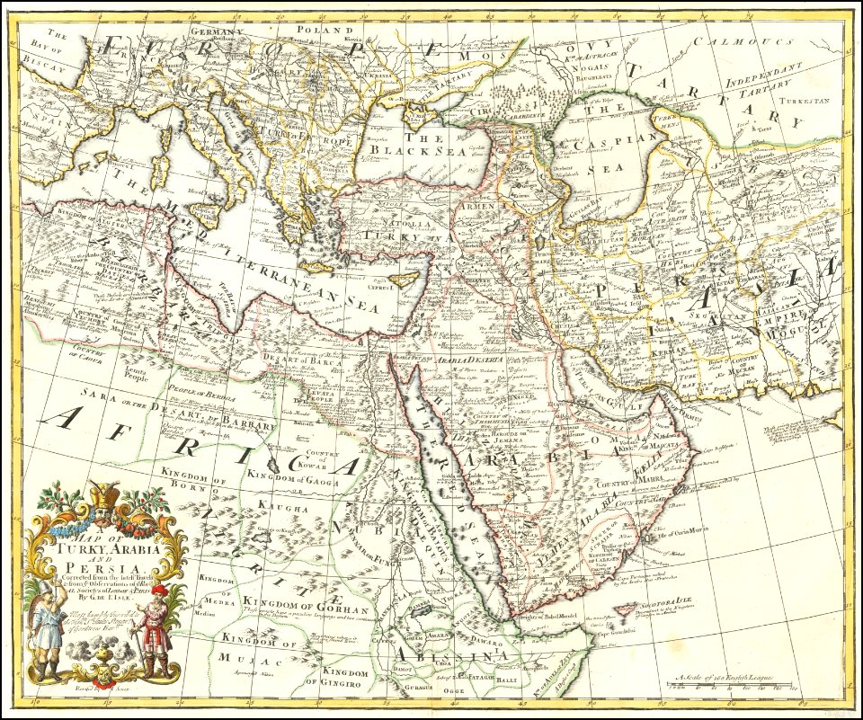
old maps of the middle east
1855 maps
atlas des anciens plans de paris by imprimerie nationale, 1880 from bhvp
map of paris by jouvin de rochefort (boutier 112)
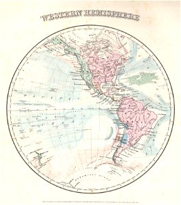
old maps of earth's hemispheres
1855 maps
old maps of earth's hemispheres
maps by joseph hutchins colton
old maps of gorée
1745 maps
maps in the library of congress
old maps of florida
maps in the library of congress
old maps of florida
maps in the library of congress
1888 maps
maps of paris from paris musées
plan de turgot
postcards of new mexico published by petley studios
curt teich postcard archives
historical images of vienna
schottenkirche, vienna
old celestial maps
map of vienna by jacob hoefnagel
roter turm, vienna
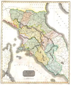
maps by john thomson
1814 maps
english-language maps of europe
maps by john thomson
maps by joseph hutchins colton
1855 maps
old maps of the ottoman empire
old maps of iran
2901 - 3000 of 36,882
Next page
/ 369