Log in
All resources
Create a design
38,713 Free Artworks of Map
latin-language maps
atlas map
maps of paris from the david rumsey historical map collection
bibliothèque nationale de france
atlas des anciens plans de paris by imprimerie nationale, 1900 from the david rumsey historical map collection
david rumsey historical map collection
frans hogenberg
eran laor cartographic collection
maps by willem and johannes blaeu
maps of paris from bibliothèque nationale de france
old maps of st. augustine, florida
john white (colonist and artist)
guide joanne normandie-1912
1912 maps of france
atlas maior, vol 10 (spain and africa) - joan blaeu, 1667 - bl 114.h(star).10
1667 maps
1906 maps of europe
1906 in spain
maps from the mechanical curator collection available to georeference
maps from the mechanical curator collection
cartouches by willem and johannes blaeu
dutch-language maps
maps of paris from bibliothèque nationale de france
proletarian literature
maps of paris from the david rumsey historical map collection
romanticism
atlas des anciens plans de paris by imprimerie nationale, 1900 from the david rumsey historical map collection
maps of paris from the david rumsey historical map collection
atlas des anciens plans de paris by imprimerie nationale, 1900 from the david rumsey historical map collection
maps of paris from the david rumsey historical map collection
maps of paris from the david rumsey historical map collection
romanticism
1906 maps of europe
1906 in spain
gemeente atlas van nederland - south holland
1860s maps of south holland
gemeente atlas van nederland - south holland
1860s maps of south holland
guide joanne normandie-1912
1912 maps of france
maps by jacques-nicolas bellin
old maps of new france
guide joanne normandie-1912
1912 maps of france
14th-century illuminated manuscripts from spain
jong (ship)
old maps of luxembourg city
maps by pieter mortier
atlas van loon
1664 maps
atlas der neederlanden deel ii: holland 1. zuid-holland
maps from university of amsterdam special collections
antoine-françois tardieu
maps from gallica
old maps of north brabant
maps of megen
maps of carmel valley, california
james meadows
illustrations from the mysterious island by jules férat
maps of the mysterious island
maps from the earth and its inhabitants, vol. xi
old maps of the sahara
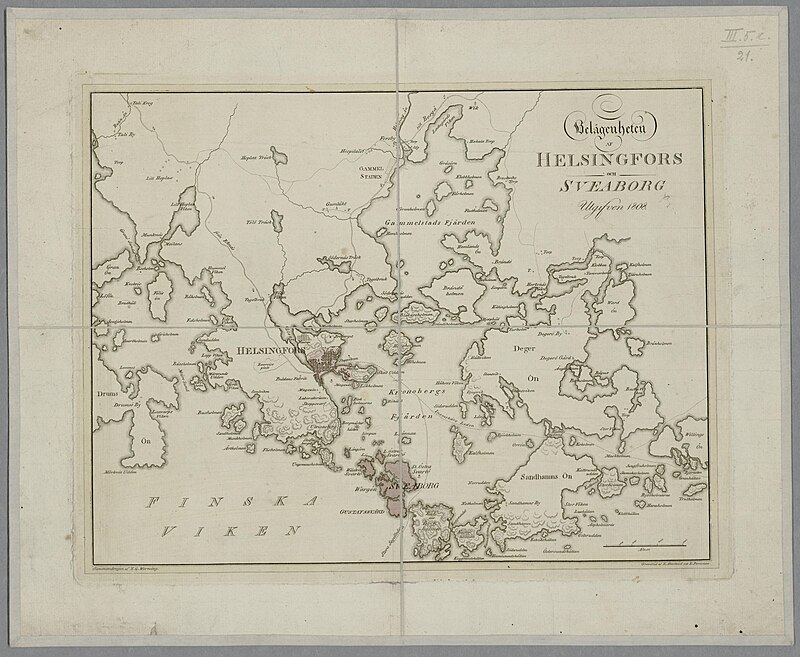
media from the national library of finland
classicism
maps of the history of scotland
wars of the united kingdom
victory expedition
northwest passage
maps in the staats- und universitätsbibliothek hamburg
maps of hamburg-altstadt
maps of paris from the barry lawrence ruderman antique maps inc.
maps of paris by louis-joseph mondhare
maps of dunkerque by braun & hogenberg
eran laor cartographic collection
gemeente atlas van nederland - south holland
1860s maps of south holland
eran laor cartographic collection
latin-language maps
map of bruges by marcus gheeraerts (i)
drawings in the groeningemuseum
maps by willem and johannes blaeu
old maps of amsterdam
eran laor cartographic collection
thesaurus philopoliticus
maps by john cary
1796 maps
old maps of portobelo
maps by emanuel bowen
maps of paris from bibliothèque nationale de france
fourth map of paris from traité de la police
atlas des anciens plans de paris by imprimerie nationale, 1900 from the david rumsey historical map collection
maps of paris from the david rumsey historical map collection
atlas des anciens plans de paris by imprimerie nationale, 1900 from the david rumsey historical map collection
maps of paris from the david rumsey historical map collection
map of ghent by jan blaeu
flandria illustrata
17th-century maps of the mediterranean sea
golfe de saint-tropez
maps in the library of congress
1889 maps of michigan
old maps of the sea of marmara
catalan atlas
maps from university of amsterdam special collections
atlas der neederlanden
maps by jodocus hondius
1628 maps
maps of the hague by braun & hogenberg
maps by willem and johannes blaeu
19th-century maps of the black sea
1870s maps of the caucasus
copper engravings
old maps of goes
eric (xii) of sweden (erik magnusson)
maps of the history of sweden
old maps of north holland
maps of west friesland
maps from the mechanical curator collection
1887 maps of sudan
eran laor cartographic collection
latin-language maps
ptolemy's 1st european map
bologna ptolemy
ptolemy's 9th asian map
bologna ptolemy
synopsis universae philologiae
1740s maps of the world
maps of groningen by braun & hogenberg
eran laor cartographic collection
perusinus ac tifernas (galleria delle carte geografiche)
battle of lake trasimene
maps of paris from bibliothèque nationale de france
maps of paris by john rocque
maps by henry winkles
maps by john rapkin
instituto geográfico nacional (españa)
old maps of galicia (spain)
atlas du canton de paris, 1795
plan de roussel
old maps of the new kingdom of granada
1680
historisk atlas (stockholm, norstedt & söner, 1880)
maps showing 843
maps by willem and johannes blaeu
1649 maps
maps of paris from the david rumsey historical map collection
romanticism
maps in the rijksmuseum amsterdam
published by frans buffa & zonen
maps in the rijksmuseum amsterdam
published by frans buffa & zonen
maps of brest, france by antoine aveline
17th-century maps of brest
1640s maps of the americas
maps by jodocus hondius
alexis-hubert jaillot
henri sengre
maps in the library of congress
1870 cartoons
media from the national library of finland
classicism
maps of paris from the princeton university library
18th-century maps of paris
panoramic maps of seville by braun & hogenberg
eran laor cartographic collection
18th-century maps of the ottoman empire
old maps of kurdistan
maps of spain by tomas lopez
1780 maps of spain
atlas des anciens plans de paris by imprimerie nationale, 1900 from the david rumsey historical map collection
maps of paris from the david rumsey historical map collection
maps of territories in the burgundian circle
1645 maps of belgium
historical images of the place dauphine (paris)
place dauphine on maps
old maps of friuli-venezia giulia
maps of carniola
bird's eye view of knoxville, tennessee, 1886
maps in the library of congress
17th-century maps of france
old maps of loiret
1943 maps of the world
atlantic charter
arabian expedition (1761-1767)
historical images of yemen
norman heathcote
maps of st kilda
maps by willem and johannes blaeu
maps of ijsselstein
maps of paris from bibliothèque nationale de france
johannes de ram
guide joanne espagne et portugal-1906
french-language maps
maps in the library of congress
1887 maps of massachusetts
smedslätten
ålsten
atlas maior, vol 10 (spain and africa) - joan blaeu, 1667 - bl 114.h(star).10
1667 maps of europe
maps of mechelen by braun & hogenberg
eran laor cartographic collection
maps of paris from bibliothèque nationale de france
maps of paris by jean lattré
maps from the earth and its inhabitants, vol. vi
1891 maps of georgia
maps made in the 17th century
old maps of gelderland
maps in the british museum
maps by thomas kitchin
maps by willem and johannes blaeu
dutch-language maps
12701 - 12800 of 38,713
Next page
/ 388


![Map of the Ring of Putten, Gilliam van der Gouwen, [1701]](https://cdn.creazilla.com/illustrations/10001174499/map-of-the-ring-of-putten-gilliam-van-der-gouwen-1701-md.jpg)


![Hambvrgvm / [Georg Braun. Franz Hogenberg], Frans Hogenberg, circa 1590](https://cdn.creazilla.com/illustrations/10000942557/hambvrgvm-georg-braun-franz-hogenberg-frans-hogenberg-circa-1590-md.jpg)


![Persian and Indian Ocean Coastline Map (1740), Jakob van der Schley, [1773]](https://cdn.creazilla.com/illustrations/10001597328/persian-and-indian-ocean-coastline-map-1740-jakob-van-der-schley-1773-sm.jpg)


