Log in
All resources
Create a design
1,810 Free Images of Trento
maps made in the 17th century
gerard valck
maps by pieter schenk (i)
atlantis magni tomus quartus (biblioteca comunale di trento)
atlantis magni tomus secundus (biblioteca comunale di trento)
atlantis magni tomus tertius (biblioteca comunale di trento)
atlantis magni tomus quintus (biblioteca comunale di trento)
maps made in the 18th century
atlantis magni tomus primus (biblioteca comunale di trento)
johann baptist homann
atlantis magni tomus secundus (biblioteca comunale di trento)
maps made in the 17th century
paintings in the kunsthalle bremen
15th-century landscape paintings
maps made in the 17th century
gerard valck
atlantis magni tomus secundus (biblioteca comunale di trento)
maps made in the 17th century
atlantis magni tomus secundus (biblioteca comunale di trento)
maps made in the 17th century
maps made in the 17th century
gerard valck
maps made in the 17th century
gerard valck
maps made in the 17th century
gerard valck
maps made in the 17th century
jan janssonius
maps made in the 17th century
gerard valck
maps made in the 17th century
gerard valck
historical images of the cathedral (ferrara)
map of ferrara by andrea bolzoni
maps made in the 17th century
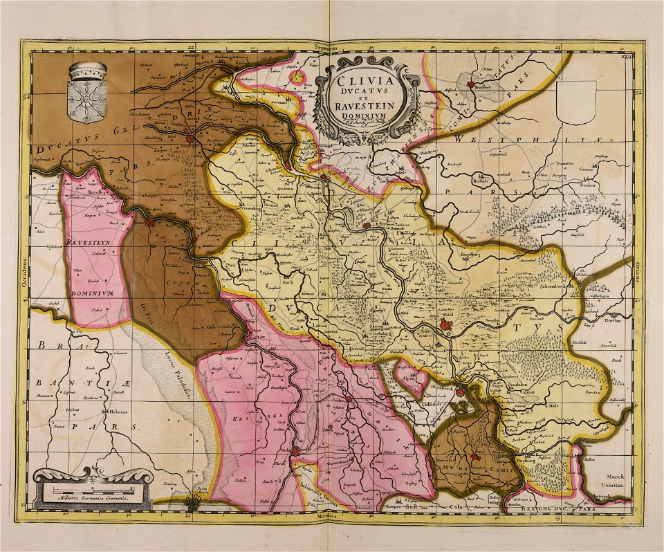
old maps of gelderland
atlantis magni tomus quintus (biblioteca comunale di trento)
maps made in the 17th century
atlantis magni tomus primus (biblioteca comunale di trento)
maps made in the 17th century
maps made in the 17th century
jan janssonius
gerard valck
languedoc
maps made in the 17th century
maps by nicolaes visscher i
atlantis magni tomus primus (biblioteca comunale di trento)
17th-century maps of sweden
18th-century engravings
fortifications in italy
maps made in the 17th century
gerard valck
maps made in the 17th century
old maps of alsace
maps made in the 18th century
johann baptist homann
old maps of styria
gerard valck
maps made in the 17th century
danimarca
maps made in the 17th century
gerard valck
gerard valck
drenthe
maps made in the 17th century
old maps of europe
maps made in the 17th century
maps by johannes janssonius
gerard valck
syria
atlantis magni tomus secundus (biblioteca comunale di trento)
maps made in the 17th century
maps made in the 17th century
gerard valck
maps made in the 17th century
gerard valck
maps made in the 17th century
gerard valck
gerard valck
england
maps made in the 17th century
gerard valck
maps made in the 17th century
giappone
atlantis magni tomus secundus (biblioteca comunale di trento)
maps made in the 17th century
historical views of stockholm
18th-century engravings
johann baptist homann
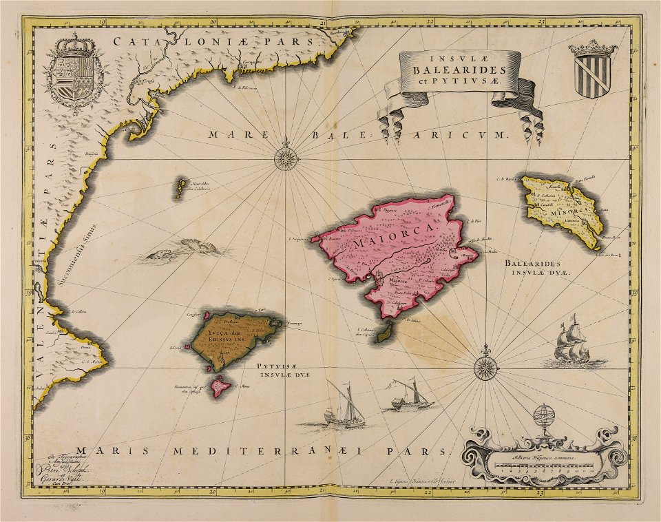
catalonia
maps made in the 17th century
gerard valck
maps made in the 17th century
nicolaes visscher ii
maps made in the 18th century
gerard valck
maps made in the 17th century
gerard valck
maps made in the 18th century
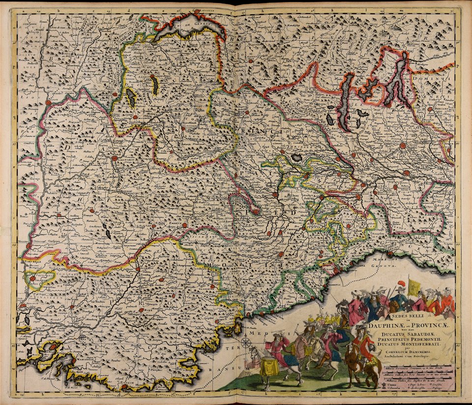
cornelis danckerts (i)
landscape
forest
maps made in the 17th century
maps by nicolaes visscher i
maps made in the 17th century
dnieper river
maps made in the 17th century
ungheria
cornelis danckerts (i)
defensive walls
maps made in the 17th century
gerard valck
maps made in the 17th century
gulf of trieste
maps made in the 17th century
gerard valck
maps made in the 17th century
netherlands
maps made in the 17th century
gerard valck
maps made in the 18th century
paesi bassi
portraits with books
latin text
maps made in the 17th century
gerard valck
maps made in the 17th century
gerard valck
maps made in the 18th century
gerard valck
maps made in the 17th century
gerard valck
old maps of frankfurt am main
johann baptist homann
maps made in the 17th century
gerard valck
maps made in the 17th century
gerard valck
maps made in the 18th century
johann baptist homann
maps made in the 18th century
johann baptist homann
maps made in the 18th century
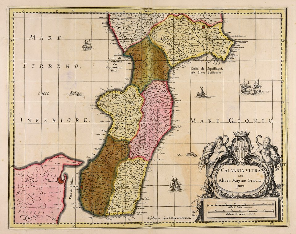
sardinia
atlantis magni tomus secundus (biblioteca comunale di trento)
nicolaes visscher ii
maps made in the 18th century
gerard valck
maps made in the 17th century
gerard valck
maps made in the 17th century
old maps of gelderland
maps made in the 17th century
gerard valck
maps made in the 17th century
gerard valck
maps by nicolas sanson
maine-et-loire
maps made in the 17th century
gerard valck
maps made in the 17th century
maps by nicolaes visscher i
maps made in the 17th century
gerard valck
maps made in the 17th century
gerard valck
maps made in the 17th century
gerard valck
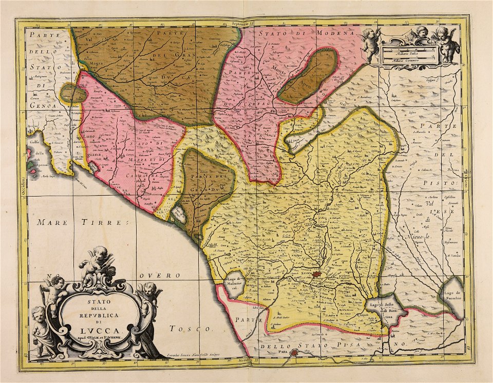
republic of lucca
gerard valck
maps made in the 17th century
gerard valck
express and special delivery stamps of italy
red stamp
maps made in the 17th century
gerard valck
atlantis magni tomus quintus (biblioteca comunale di trento)
maps made in the 17th century
maps made in the 17th century
old maps of scandinavia
18th-century engravings
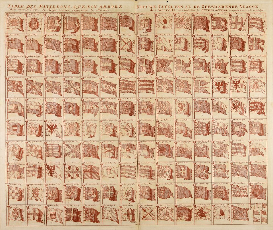
flag charts
maps made in the 17th century
cornelis danckerts (i)
maps made in the 17th century
gerard valck
gerard valck
germany
maps made in the 17th century
gerard valck
maps made in the 17th century
gerard valck
maps made in the 17th century
gerard valck
maps made in the 17th century
gerard valck
maps made in the 17th century
gerard valck
maps made in the 17th century
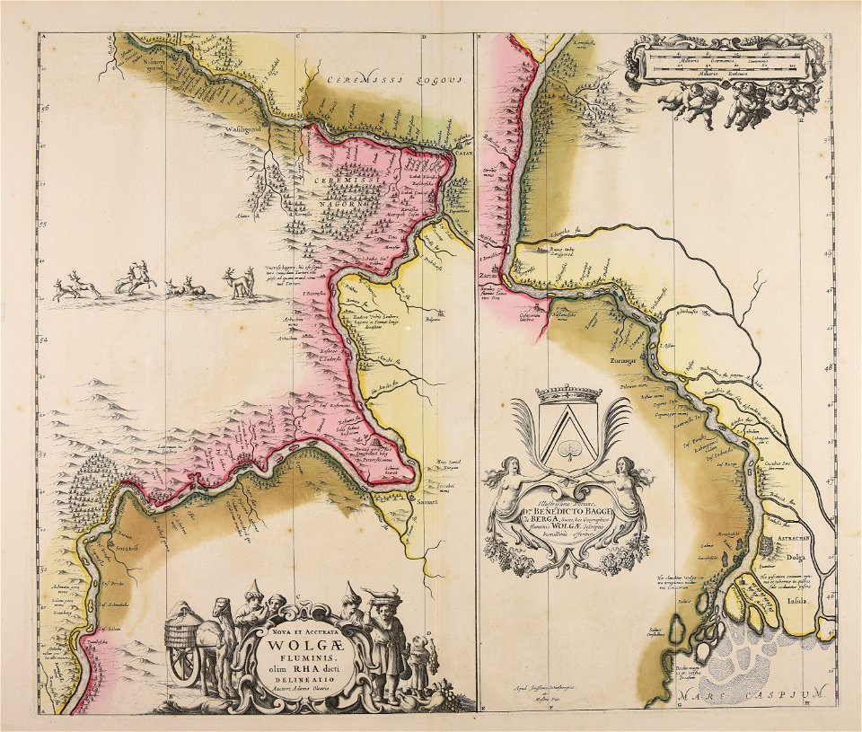
adam olearius
atlantis magni tomus quartus (biblioteca comunale di trento)
maps made in the 17th century
maps by pieter schenk (i)
gerard valck
atlantis magni tomus primus (biblioteca comunale di trento)
18th-century engravings
maps made in the 17th century
nicolaes visscher ii
maps made in the 17th century
gerard valck
401 - 500 of 1,810
Next page
/ 19