Log in
All resources
Create a design
16,341 Free Images of Self Made
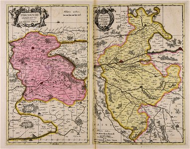
maps made in the 17th century
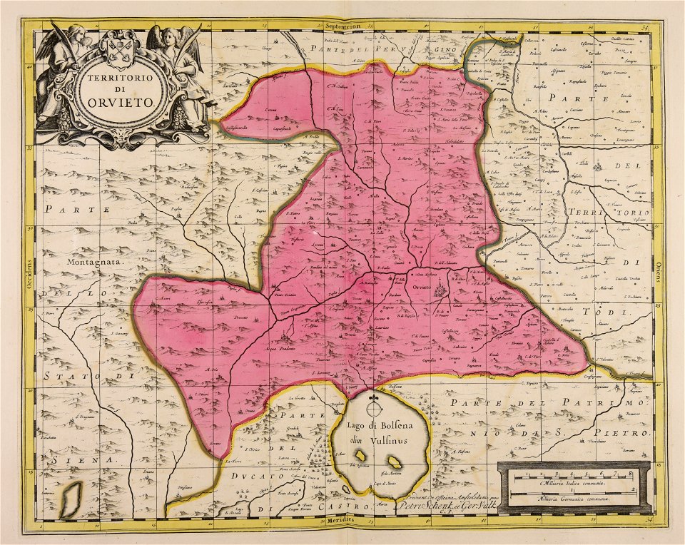
maps by pieter schenk (i)
gerard valck
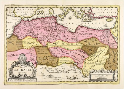
atlantis magni tomus quartus (biblioteca comunale di trento)
atlantis magni tomus quintus (biblioteca comunale di trento)
maps made in the 18th century
atlantis magni tomus tertius (biblioteca comunale di trento)
maps by nicolaes visscher i
hooke's micrographia diagrams from the national library of wales
micrographia
pre-raphaelite brotherhood
works by elizabeth siddal
atlantis magni tomus quintus (biblioteca comunale di trento)
maps made in the 18th century
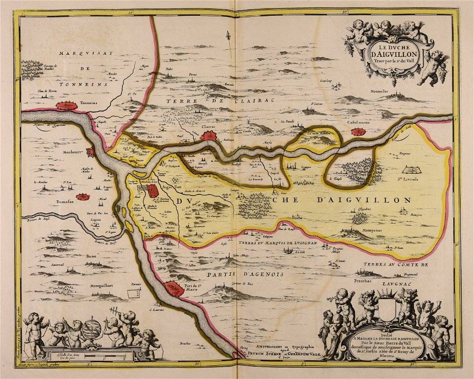
maps made in the 17th century
gerard valck
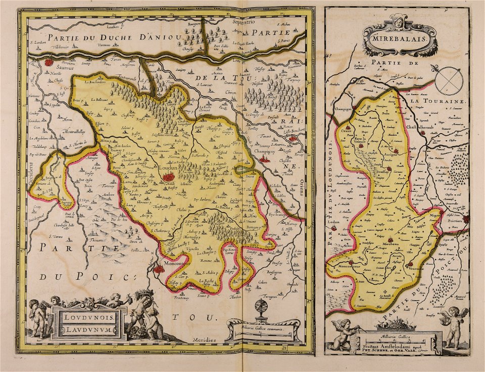
maps made in the 17th century
gerard valck
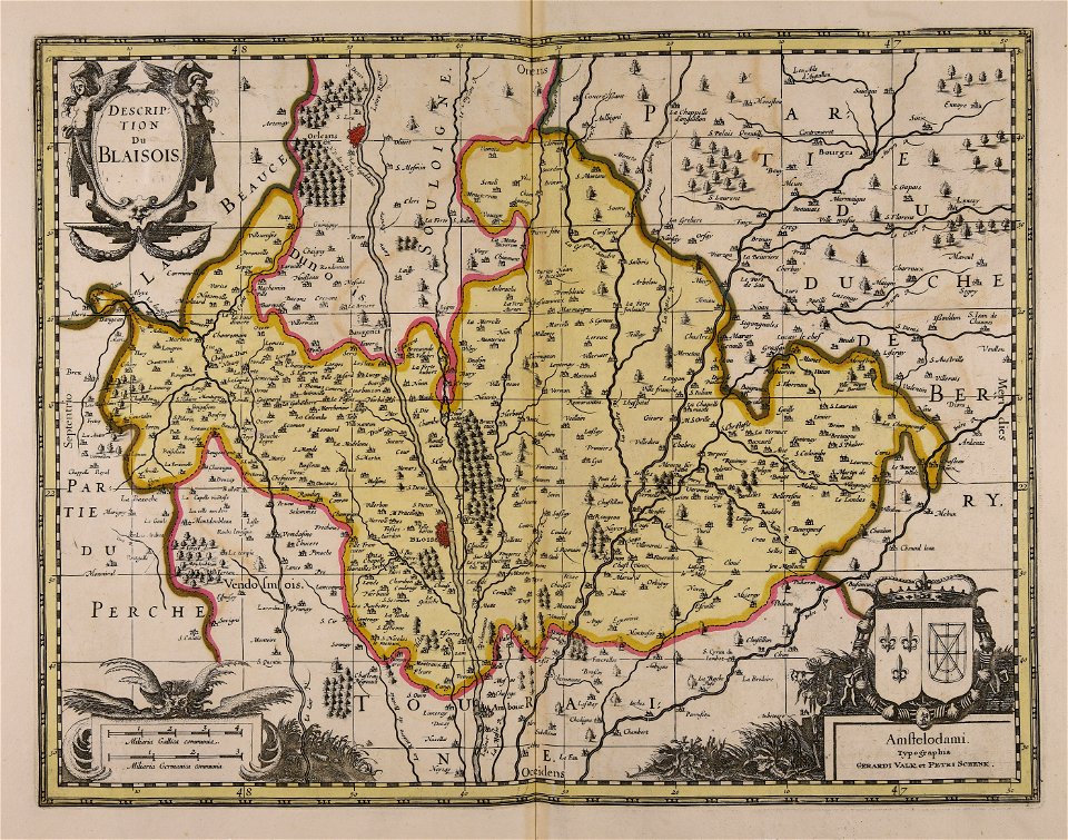
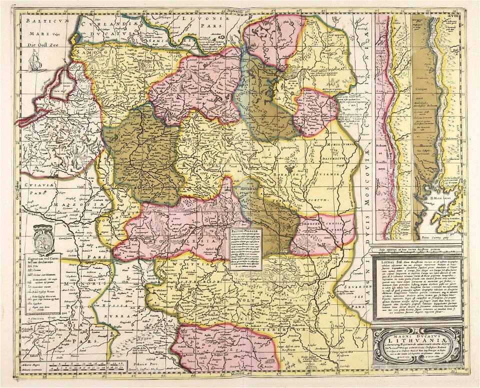
maps made in the 17th century
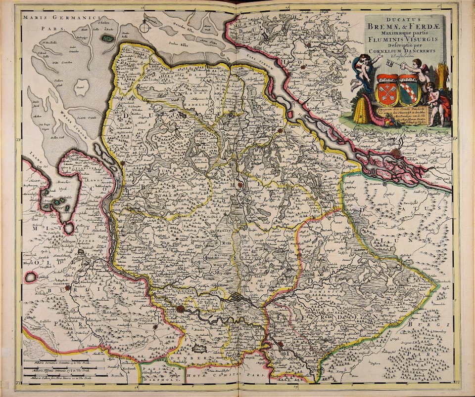
cornelis danckerts (ii)
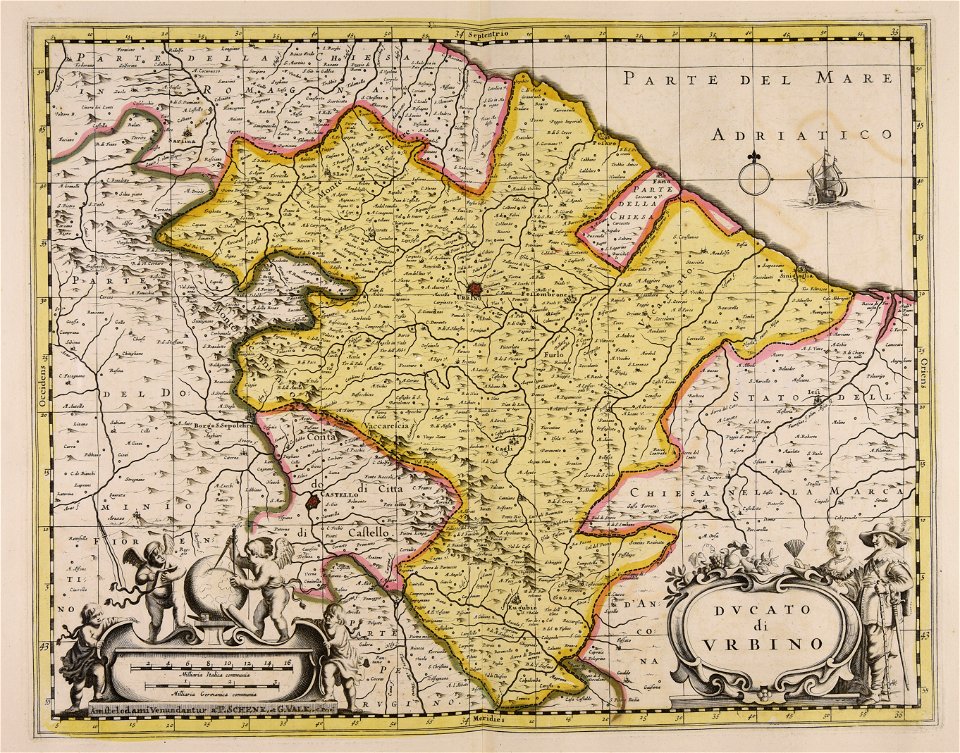
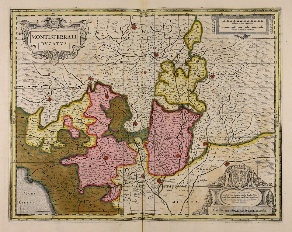
maps made in the 17th century
gerard valck
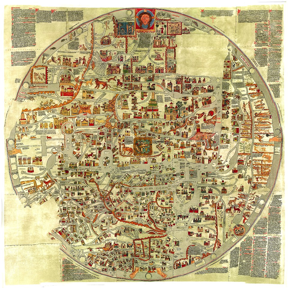
world map
1300
maps made in the 17th century
gerard valck
maps made in the 17th century
gerard valck
maps made in the 17th century
gerard valck
maps made in the 17th century
gerard valck
maps made in the 17th century
gerard valck
maps made in the 17th century
gerard valck
maps made in the 17th century
maps by pieter schenk (i)
maps made in the 17th century
gerard valck
report on the united states and mexican boundary survey
chordeiles acutipennis
maps made in the 17th century
maps by nicolaes visscher i
maps made in the 18th century
maps by pieter schenk (i)
maps made in the 17th century
maps by nicolaes visscher i
maps made in the 17th century
maps by nicolaes visscher i
maps made in the 17th century
gerard valck
maps made in the 17th century
gerard valck
maps made in the 17th century
gerard valck
maps made in the 18th century
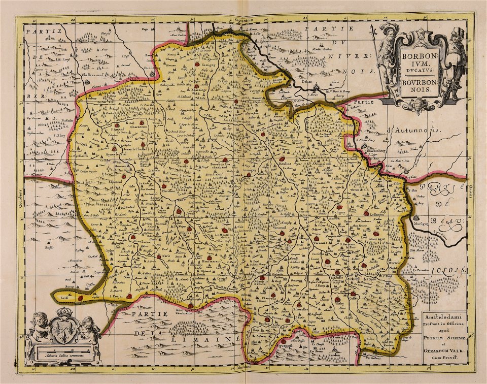
works by guillaume delisle
maps made in the 17th century
gerard valck
d as an initial in illuminated manuscripts
illuminated manuscripts made in france
maps made in the 17th century
maps by nicolaes visscher i
maps made in the 17th century
gerard valck
maps made in the 17th century
gerard valck
maps made in the 17th century
guillaume sanson
maps made in the 17th century
guillaume sanson
maps by nicolaes visscher i
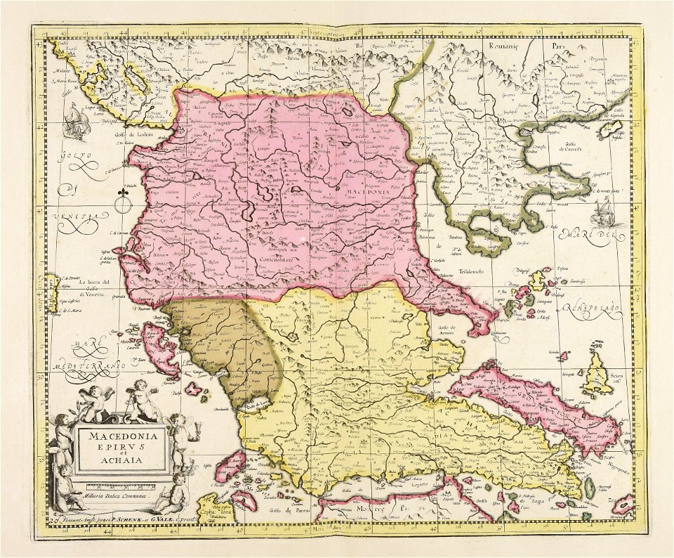
old maps of greece
maps made in the 17th century
old maps of gelderland
old maps of frankfurt am main
johann baptist homann
maps made in the 17th century
cornelis danckerts (i)
atlantis magni tomus quintus (biblioteca comunale di trento)
maps made in the 18th century
maps made in the 17th century
gerard valck
maps made in the 17th century
gerard valck
maps made in the 17th century
gerard valck
maps made in the 18th century
terra santa
maps made in the 17th century
gerard valck
maps made in the 18th century
old maps of iran
maps made in the 17th century
gerard valck
maps made in the 17th century
gerard valck
maps made in the 17th century
gerard valck
maps made in the 17th century
gerard valck
maps made in the 17th century
gerard valck
maps made in the 17th century
gerard valck
maps made in the 17th century
gerard valck
maps made in the 17th century
gerard valck
maps made in the 17th century
gerard valck
maps made in the 17th century
maps by nicolaes visscher i
maps made in the 17th century
gerard valck
maps made in the 17th century
gerard valck
maps made in the 17th century
gerard valck
atlantis magni tomus quintus (biblioteca comunale di trento)
maps made in the 17th century
maps made in the 17th century
gerard valck
maps made in the 18th century
gerard valck
maps made in the 17th century
maps by nicolaes visscher i
maps made in the 17th century
gerard valck
maps made in the 17th century
gerard valck
maps made in the 17th century
gerard valck
maps showing history
corfu
maps made in the 17th century
gerard valck
maps made in the 17th century
gerard valck
maps made in the 17th century
gerard valck
maps showing history
corfu
maps made in the 17th century
gerard valck
maps made in the 18th century
johann baptist homann
maps made in the 18th century
gerard valck
maps made in the 18th century
old maps of flanders
maps made in the 17th century
gerard valck
maps made in the 17th century
gerard valck
maps made in the 17th century
gerard valck
maps made in the 17th century
gerard valck
maps made in the 17th century
gerard valck
made under the direction of the secretary of the interior
report on the united states and mexican boundary survey
atlantis magni tomus quartus (biblioteca comunale di trento)
maps made in the 17th century
maps made in the 18th century
old maps of saxony
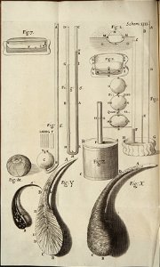
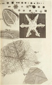
hooke's micrographia diagrams from the national library of wales
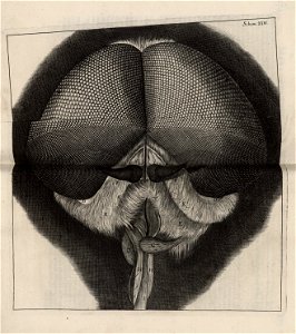
flies in art
maps made in the 17th century
gerard valck
paintings in the national museum of art of romania
pincio in art
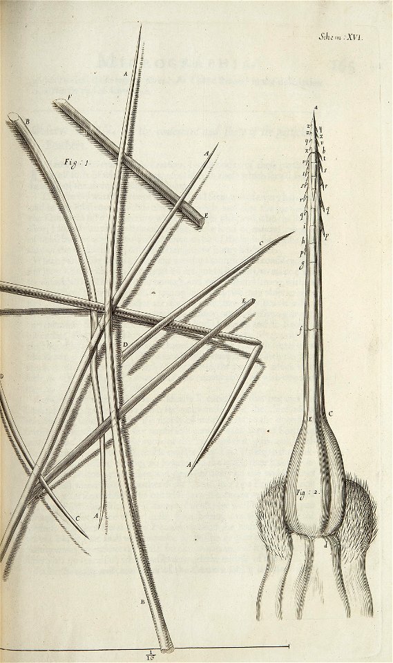
hooke's micrographia diagrams from the national library of wales
micrographia
hooke's micrographia diagrams from the national library of wales
micrographia
hooke's micrographia diagrams from the national library of wales
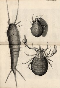
pseudoscorpiones
hooke's micrographia diagrams from the national library of wales
bees in art
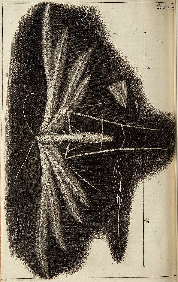
unidentified pterophoridae
moth
maps made in the 17th century
gerard valck
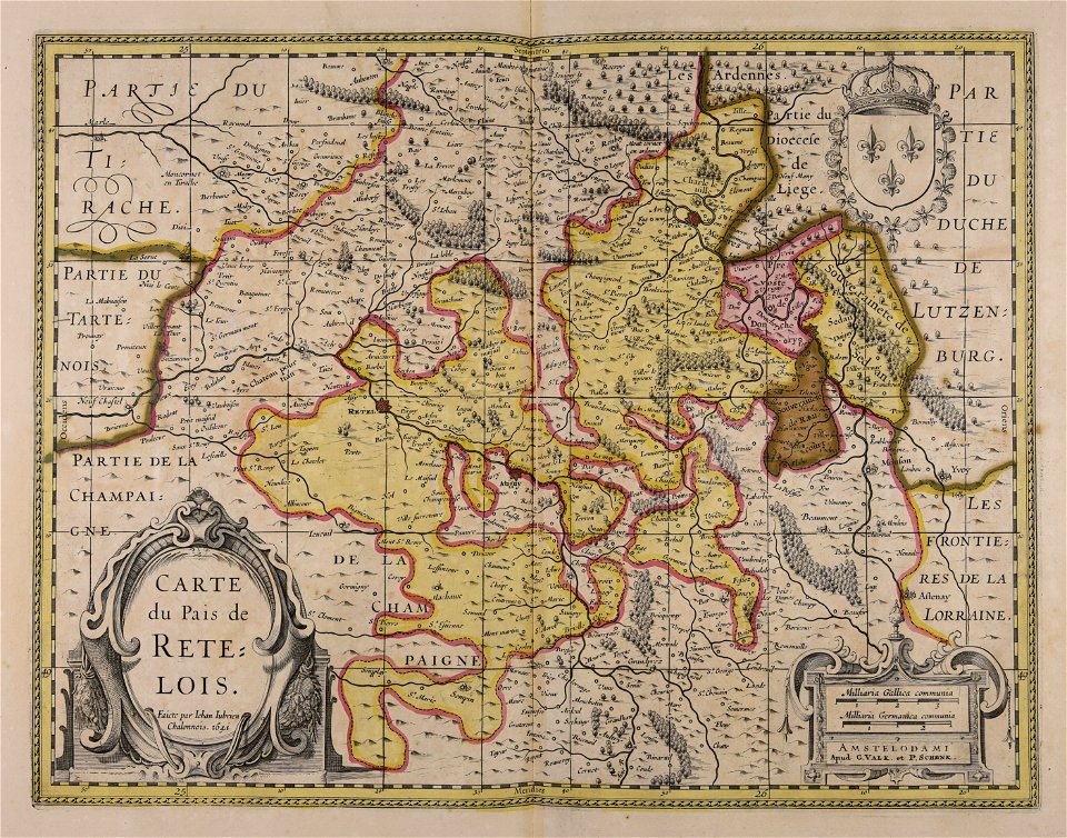
bronze ornaments made in france
mantel clocks from france
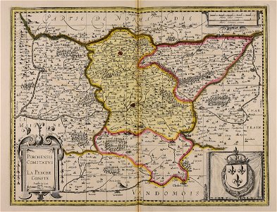
maps made in the 17th century
gerard valck
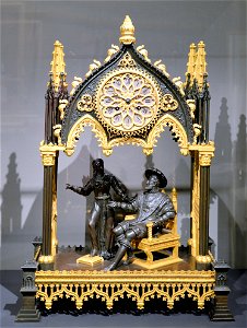
bronze ornaments made in france
mantel clocks from france
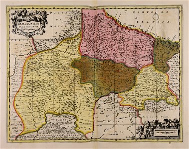
maps made in the 17th century
gerard valck
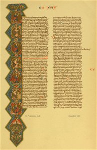
s as an initial in illuminated manuscripts
14th-century illuminated manuscripts
maps made in the 17th century
gerard valck
maps made in the 17th century
gerard valck
maps made in the 17th century
gerard valck
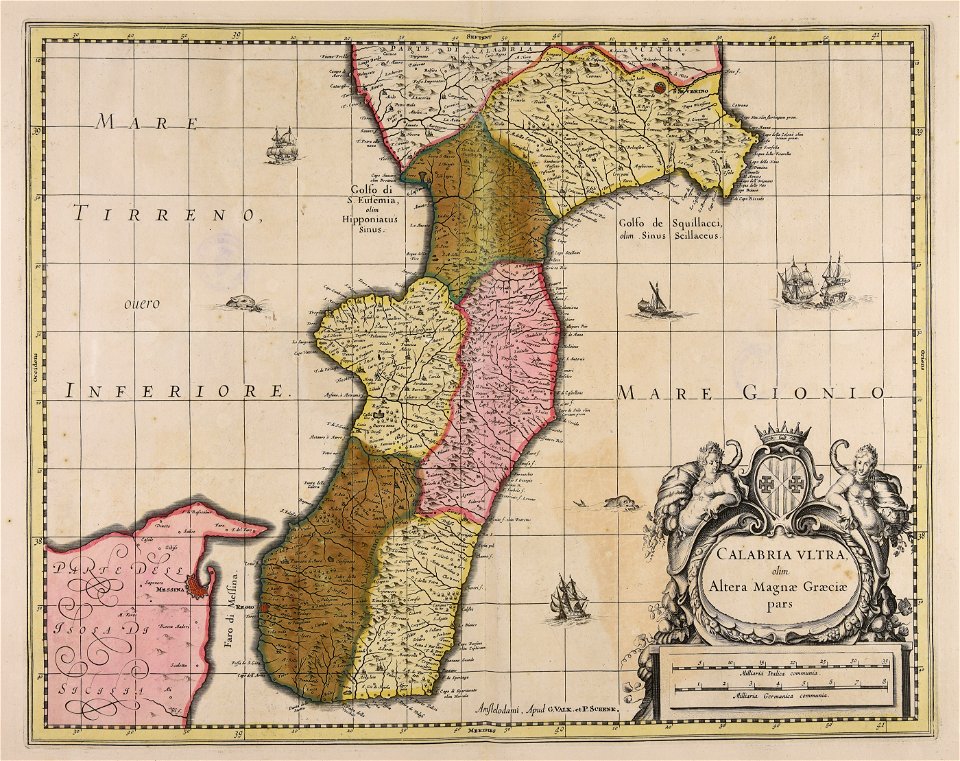
piedmont
lombardy
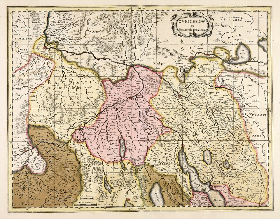
maps made in the 17th century
old maps of westphalia
maps made in the 17th century
maps by pieter schenk (i)
maps made in the 17th century
maps by nicolaes visscher i
3101 - 3200 of 16,341
Next page
/ 164