Log in
All resources
Create a design
45 Free Images of Maps Indicating Exploration
maps of journeys
exploration of asia
maps from the earth and its inhabitants, vol. vi
maps of marco polo's travels
maps of xuanzang's travels
nikolai severtzov
nikolai przevalski
charles eugène perron
aleksey kuropatkin
thomas douglas forsyth
maps from the earth and its inhabitants, vol. vi
maps indicating exploration
maps from the earth and its inhabitants, vol. vi
russia in the 19th century
maps from the earth and its inhabitants, vol. vi
russia in the 19th century
maps from the earth and its inhabitants, vol. vi
maps indicating exploration
maps from the earth and its inhabitants, vol. vi
charles eugène perron
1876 maps
1884 maps
1876 maps
1884 maps
old maps of spitsbergen
old maps of the arctic
maps from the earth and its inhabitants, vol. vi
maps of the silk road
english-language maps
old maps of canada
maps from the earth and its inhabitants, vol. vi
exploration of asia
maps from the earth and its inhabitants, vol. vi
exploration of asia
maps from the earth and its inhabitants, vol. vi
charles eugène perron
maps indicating exploration
pamir mountains
maps indicating exploration
pamir mountains
maps indicating exploration
pamir mountains
maps from the earth and its inhabitants, vol. vii
maps indicating exploration
maps from the earth and its inhabitants, vol. vi
maps of journeys
ferdinand von wrangel
peter anjou
ferdinand von wrangel
peter anjou
maps from the earth and its inhabitants, vol. vii
maps indicating exploration
maps from the earth and its inhabitants, vol. vi
maps of journeys
maps from the earth and its inhabitants, vol. x
1890 maps of africa
maps indicating exploration
royal geographical society
maps from the earth and its inhabitants, vol. vi
ferdinand von wrangel
maps indicating exploration
1885 maps
old maps of bouvet island
bouvet island
old maps of bouvet island
bouvet island
maps from the earth and its inhabitants, vol. ix
maps indicating exploration
maps from the earth and its inhabitants, vol. xiii
somaliland
maps from the earth and its inhabitants, vol. xiii
exploration of africa
maps from the earth and its inhabitants, vol. ix
exploration of arabia
maps from the earth and its inhabitants, vol. xv
exploration of the arctic
maps from the earth and its inhabitants, vol. xv
maps indicating exploration
maps from the earth and its inhabitants, vol. xi
maps indicating exploration
maps from the earth and its inhabitants, vol. xi
maps indicating exploration
maps from the earth and its inhabitants, vol. vii
charles eugène perron
maps from the earth and its inhabitants, vol. xviii
maps of the conquest of peru
maps from the earth and its inhabitants, vol. ix
maps indicating exploration
maps from the earth and its inhabitants, vol. xiii
maps indicating exploration
maps from the earth and its inhabitants, vol. xiv
19th-century maps of borneo
maps from the earth and its inhabitants, vol. xv
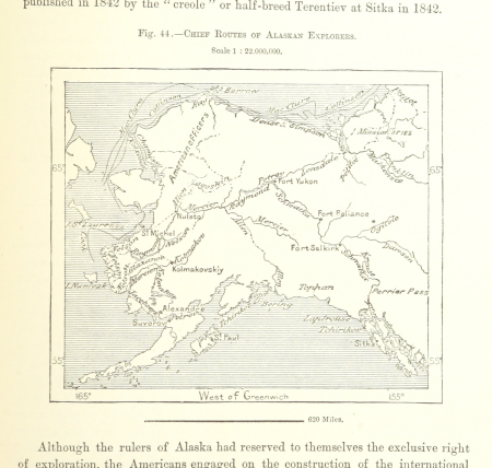
maps of the history of alaska
maps from the earth and its inhabitants, vol. xiii
maps indicating exploration
17th-century maps of the strait of magellan
maps by willem and johannes blaeu
1805 maps of the united states
maps by john cary
1 - 45 of 45
/ 1