Log in
All resources
Create a design
357,615 Free Images of Map
maps
united states geological survey maps
topographic maps of new york (state)
maps of the adirondack mountains
old maps of new york (state)
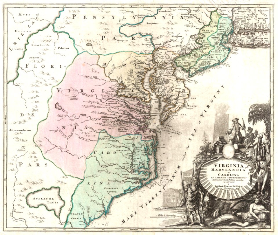
us states
latin-language maps
maps in the library of congress
charts and maps of the royal museums greenwich
maps by joseph hutchins colton
old maps of the dutch east india company
1753 maps
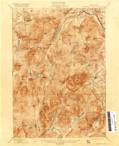
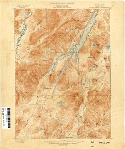
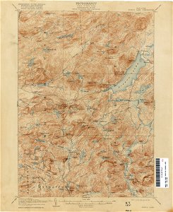
united states geological survey maps
topographic maps of new york (state)
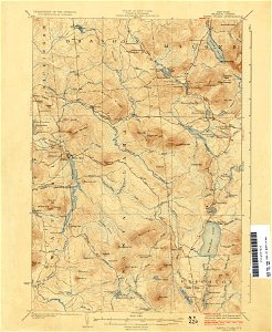
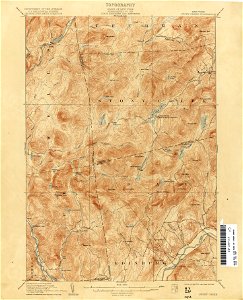
united states geological survey maps
topographic maps of new york (state)
18th-century maps of indonesia
maps by jacques-nicolas bellin
maps by jacques-nicolas bellin
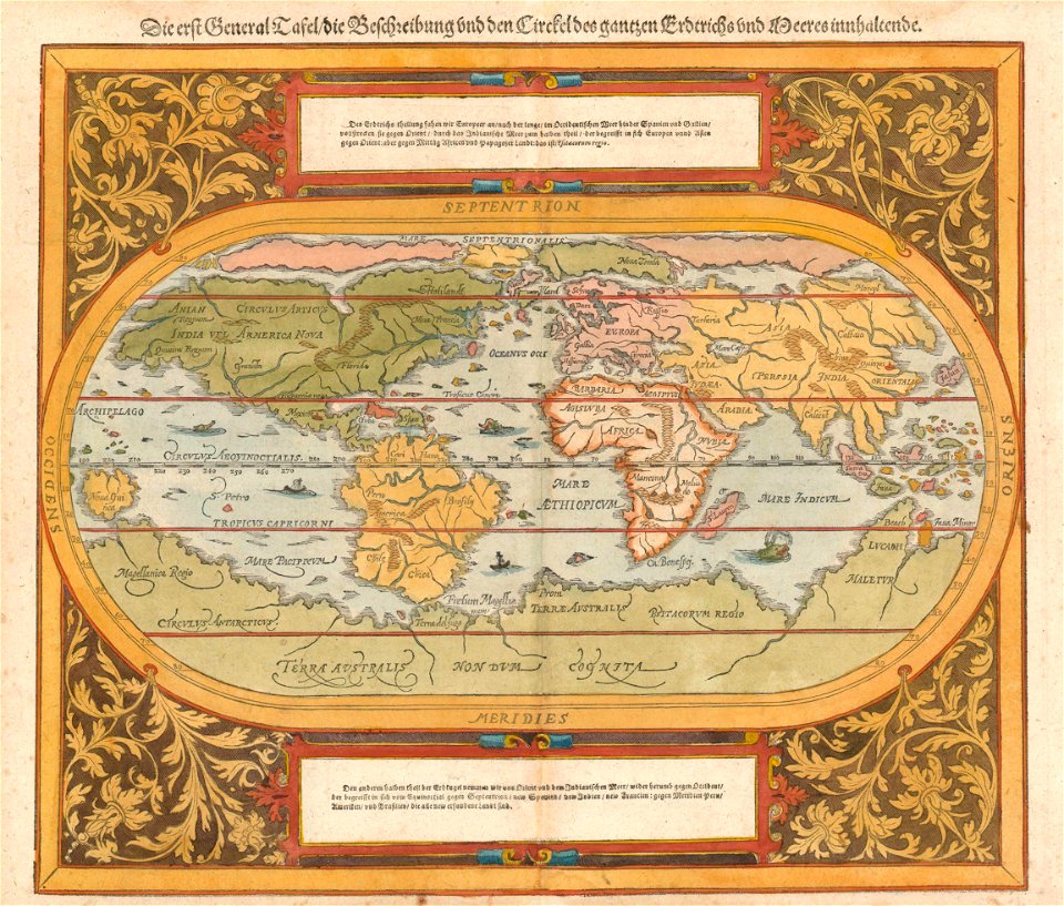
german-language maps
maps of paris in the 1880s
1883 in paris
united states geological survey maps
old maps of new york (state)
united states geological survey maps
old maps of new york (state)
united states geological survey maps
old maps of new york (state)
us states
maps
us states
maps
us states
maps
us states
maps
us states
maps
us states
maps
us states
maps
us states
maps
us states
maps
us states
maps
continent
maps
us states
maps
light
city
diagram
maps
18th-century maps of north carolina
north carolina
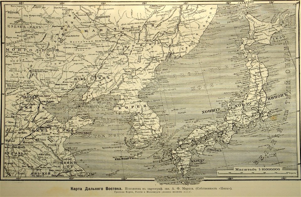
old maps of japan
1904
maps by gustav adolf von varendorf
maps of hamburg-jenfeld
19th-century satirical maps
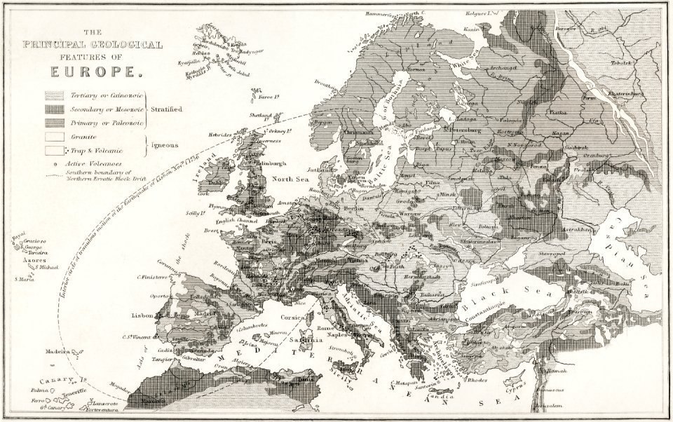
1870 maps of europe
old maps of the indian ocean
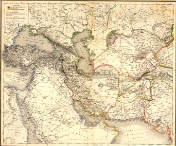
old maps of the middle east
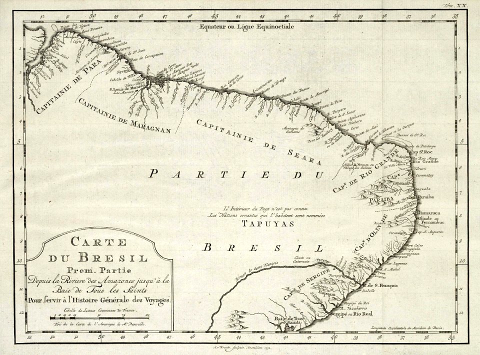
1780 in brazil
1780 maps
maps in the national library of australia
1572 maps
old maps of the aegean sea
old maps of crete
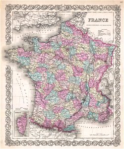
19th-century maps of france
1855 maps
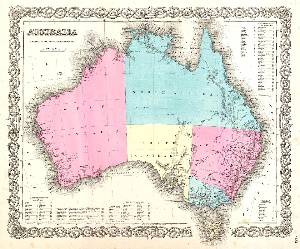
maps by joseph hutchins colton
old maps of australia
maps by benedetto bordon
old maps of cyprus
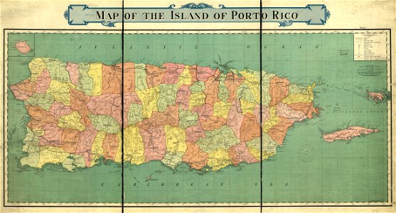
old maps of puerto rico
rand mcnally
images from the new york public library
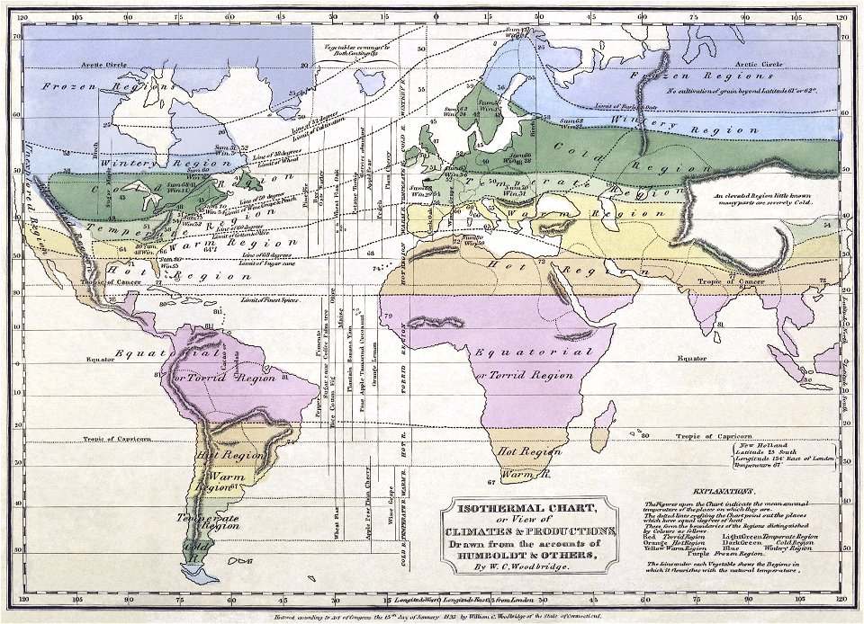
alexander von humboldt
geography
maps
david rumsey historical map collection
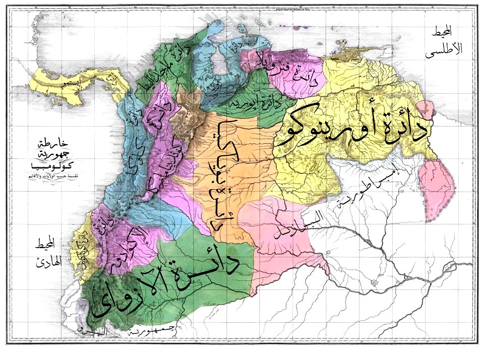
arabic-language maps
17th-century maps of south america
old maps of panama
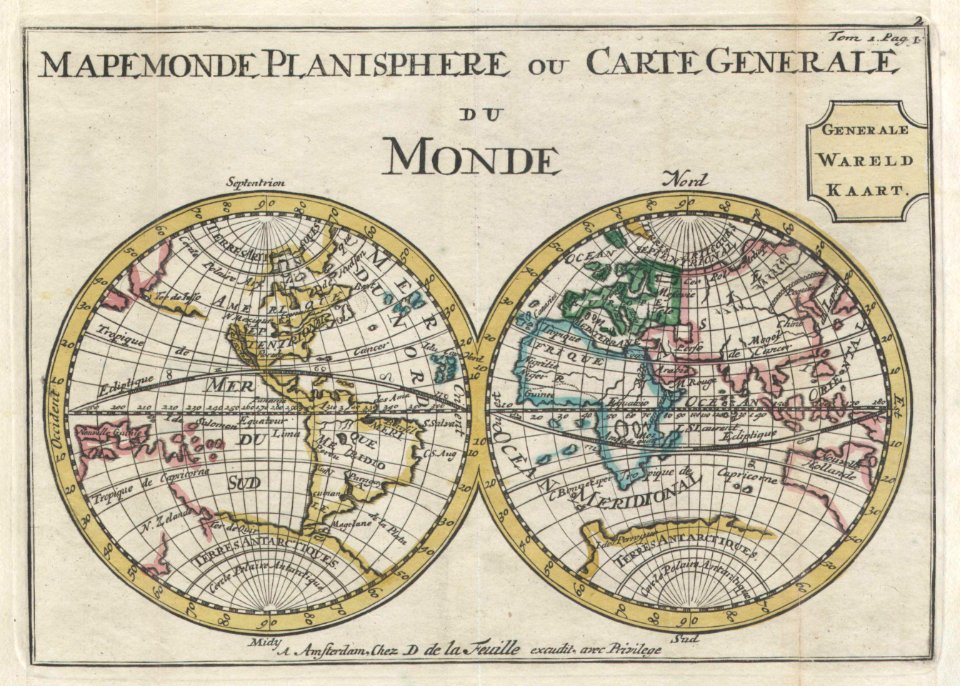
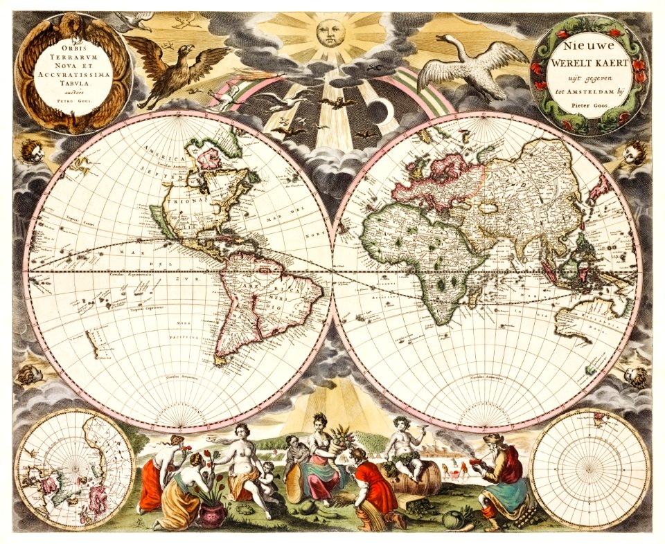
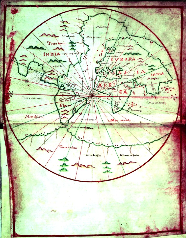
old maps of earth's hemispheres
double hemisphere world maps
maps
flag
old maps of poland
1865 maps
english-language maps
old maps of canada
continent
earth
countries
maps
united states geological survey maps
old maps of new york (state)
maps in the library of congress
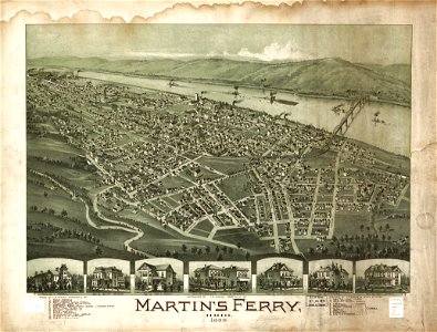
ohio
united states geological survey maps
old maps of new york (state)
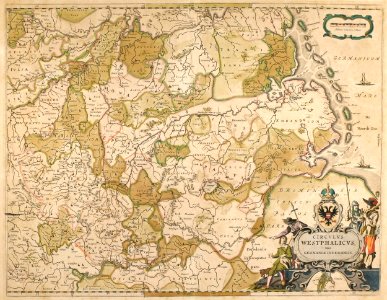
old maps of north rhine-westphalia
maps by willem and johannes blaeu
german-language maps showing history of europe
maps by sebastian münster
united states geological survey maps
old maps of new york (state)
maps
war
united states geological survey maps
united states geological survey
david rumsey historical map collection
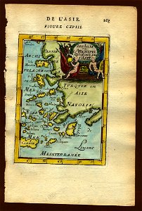
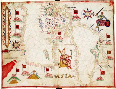
old maps of asia
united states geological survey maps
old maps of new york (state)
united states geological survey maps
old maps of new york (state)
earth
maps
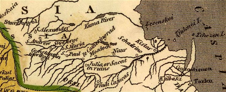
18th-century maps of the caucasus
latin-language maps
old maps of greece
old maps of turkey
united states geological survey maps
old maps of new york (state)
description of kingdom of georgia
its habits and canons
united states geological survey maps
topographic maps of new york (state)
16th-century maps of the mediterranean sea
16th-century maps of the black sea
united states geological survey maps
old maps of new york (state)
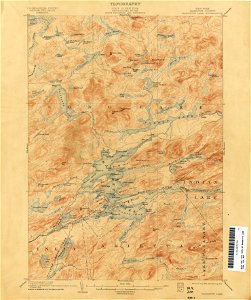
united states geological survey maps
topographic maps of new york (state)
united states geological survey maps
old maps of new york (state)
german-language maps showing history of europe
maps by brockhaus
maps by johannes janssonius
maps by jodocus hondius
german-language maps showing history of europe
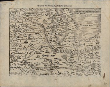
maps by sebastian münster
united states geological survey maps
old maps of new york (state)
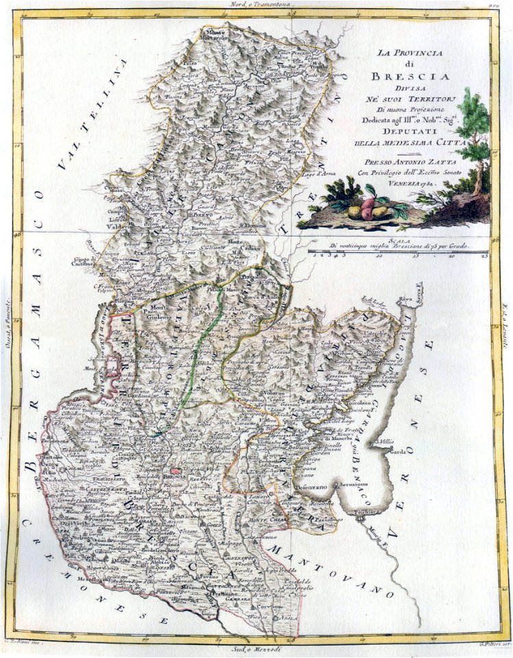
maps of the republic of genoa
18th-century maps of liguria
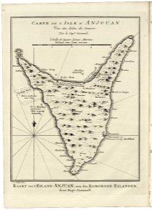
old maps of anjouan
1747 maps
maps by sebastian münster
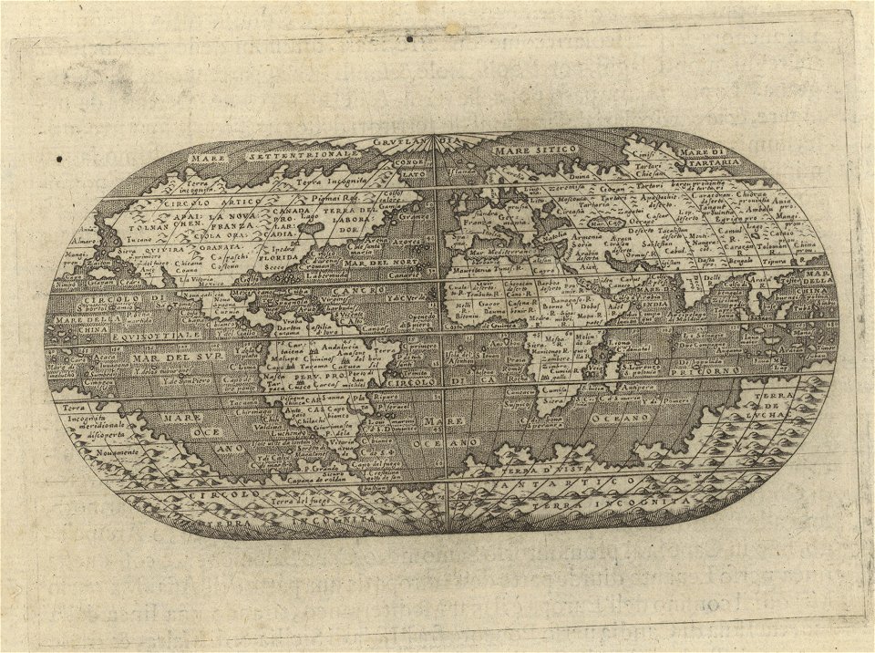
1590s maps of the world
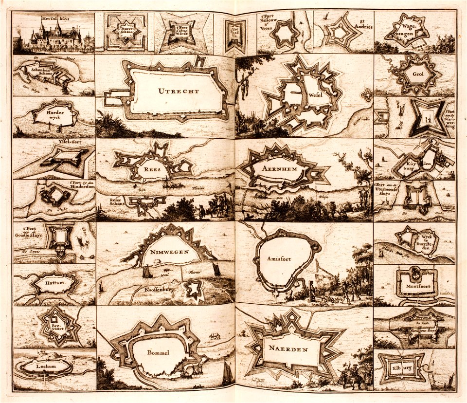
elburg
wesel
old maps of iceland
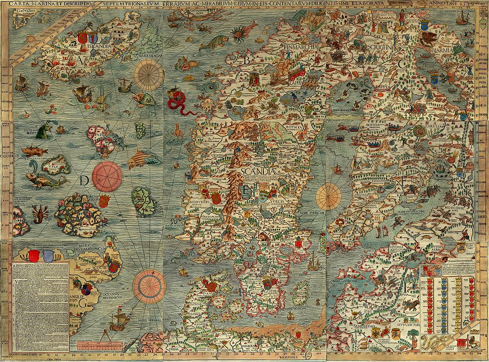
kraken
maps by benedetto bordon
1540s maps of the world
maps in the library of congress
old maps of connecticut
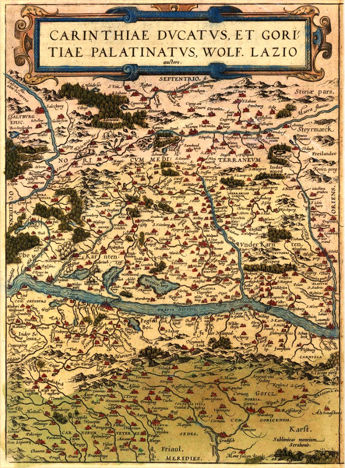
maps by wolfgang lazius
old maps of carinthia
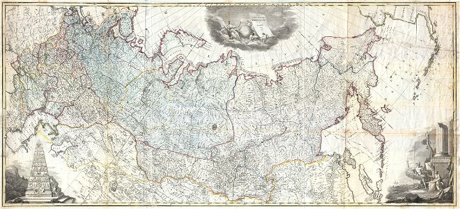
old maps of the russian empire
latin-language maps
maps in the library of congress
massachusetts
charts and maps of the royal museums greenwich
1590s maps of the world
maps in the library of congress
massachusetts
maps by martin waldseemüller
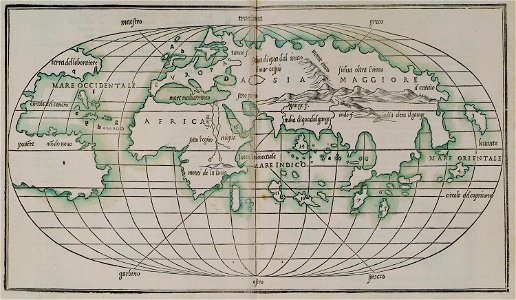
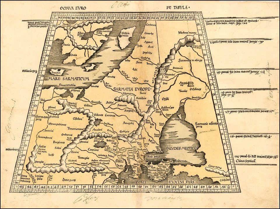
ptolemy's 8th european map
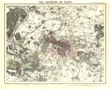
maps of paris in the 1840s
1843 in paris
maps in the library of congress
old maps of connecticut
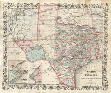
old maps of texas
1870 maps
old maps of asia
1855 maps
1812 books
1812 maps
maps by benedetto bordon
old maps of crete
maps of 18th-century europe
latin-language maps
charts and maps of the royal museums greenwich
old maps of the aegean sea
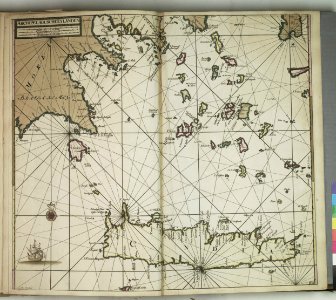
old maps of the azores
azores
david rumsey historical map collection
jr
maps by antonio zatta
old maps of lombardy
david rumsey historical map collection
jr
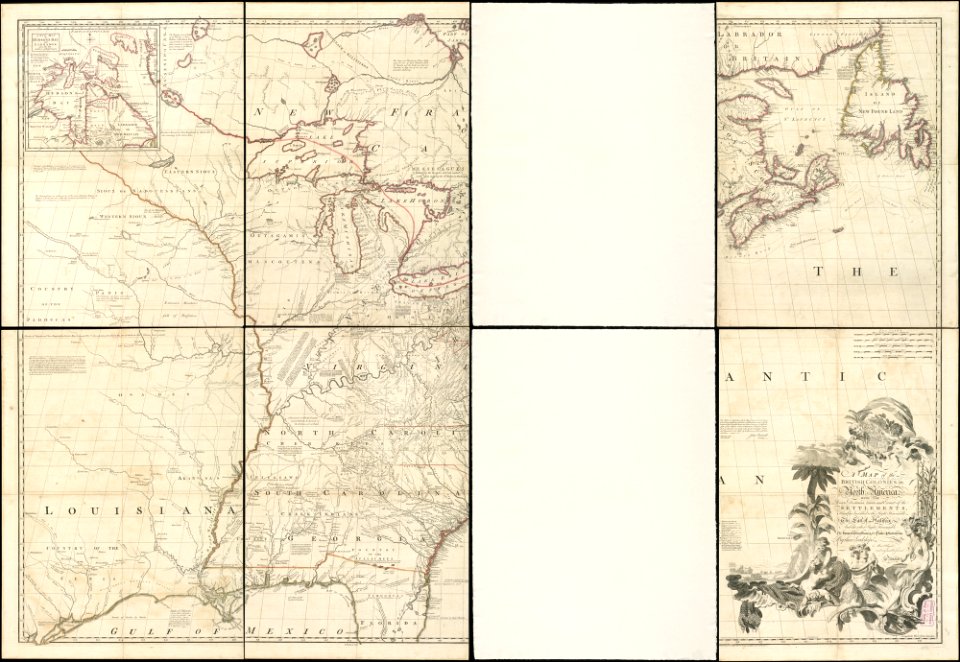
old maps of north america
1755 mitchell map
maps
sea
old maps of mexico
pictorial maps
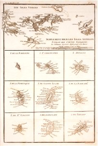
1780 in the caribbean
virgin islands
maps by jacques-nicolas bellin
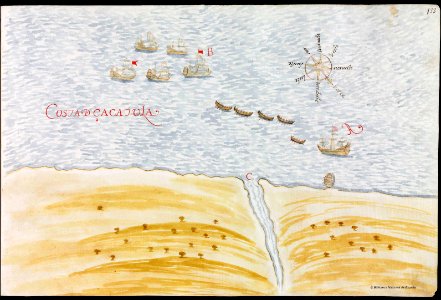
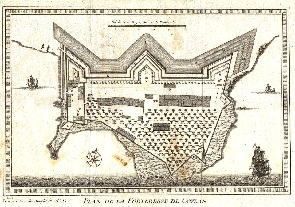
kollam
3401 - 3500 of 357,615
Next page
/ 3577