Log in
All resources
Create a design
357,615 Free Images of Map
david rumsey historical map collection
maps in the library of congress
maps by joseph hutchins colton
latin-language maps
english-language maps
maps by john thomson
1855 maps
maps by william faden
maps with cartouches
1814 maps
david rumsey historical map collection
joan blaeu
old maps of new brunswick
old maps of newfoundland
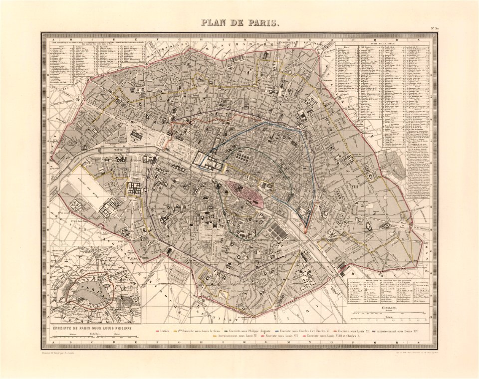
maps of paris from the barry lawrence ruderman antique maps inc.
maps of paris in the 1760s
english-language maps
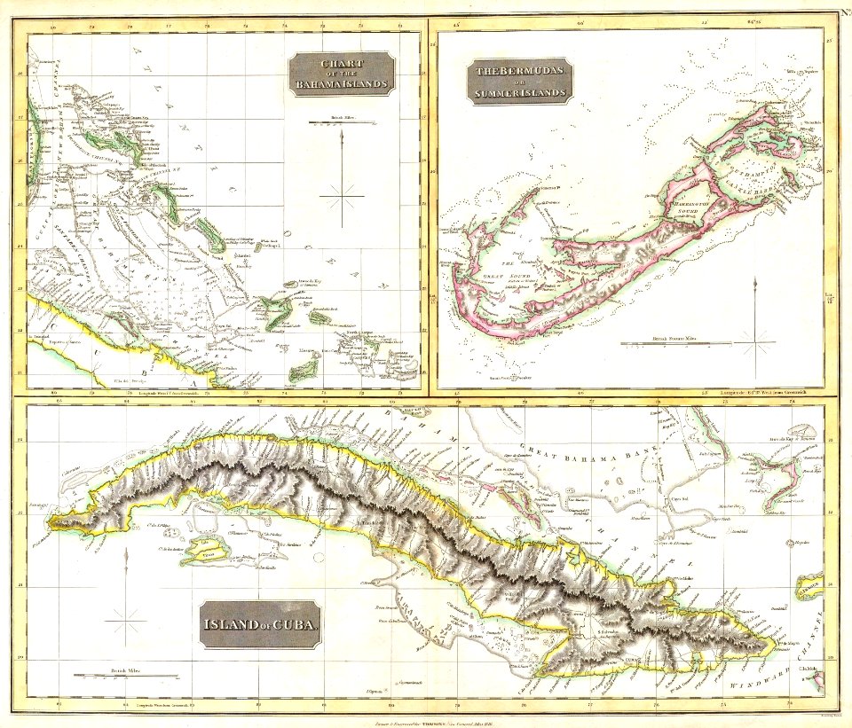
colonial cuba
old maps of nile delta
1821 books
old maps of the falkland islands
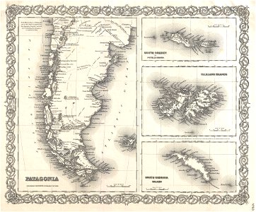
old maps of patagonia
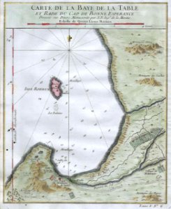
old maps of south africa
table bay
maps in the library of congress
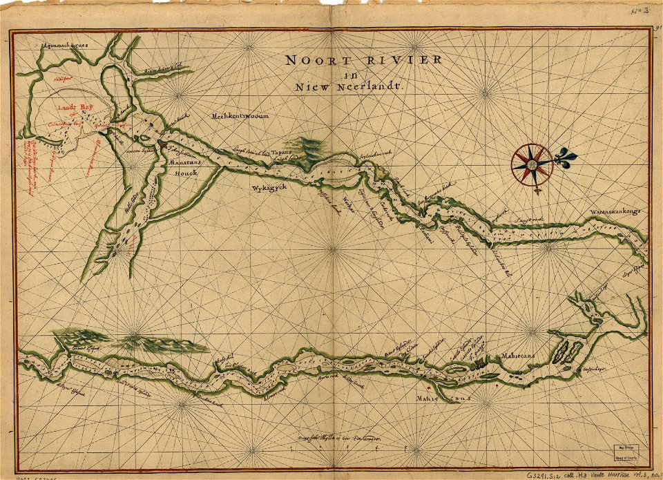
maps of the hudson
english-language maps
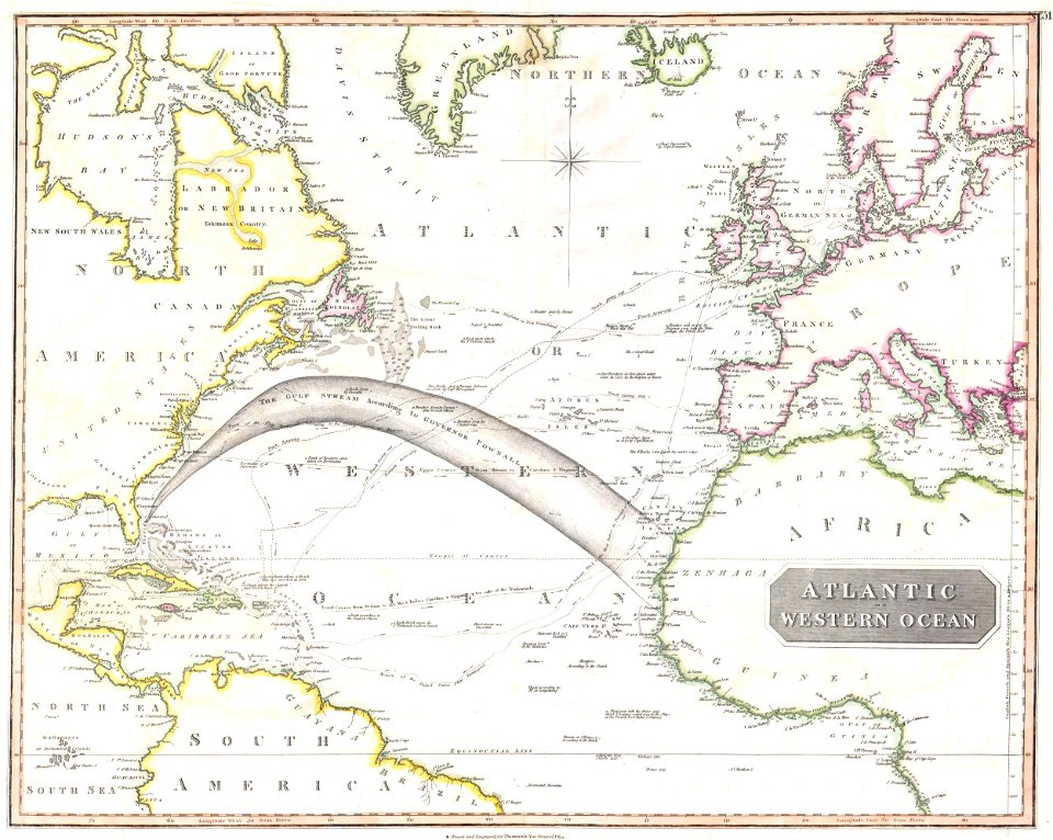
maps of voyages
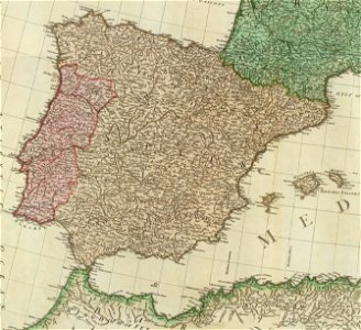
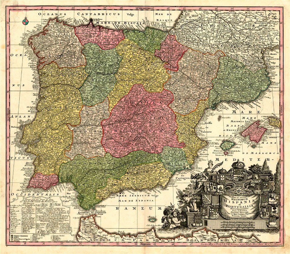
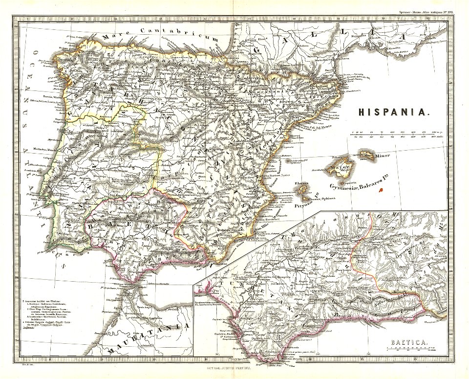
old maps of the iberian peninsula
1865 maps
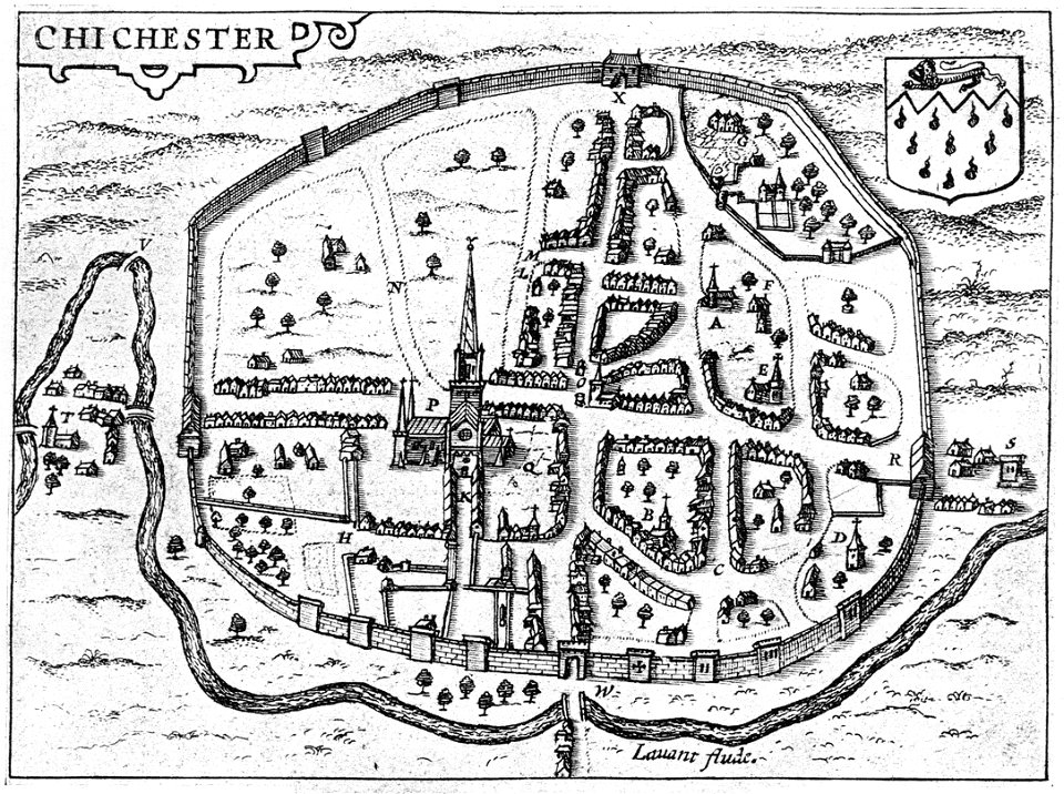
west sussex
chichester
maps in the library of congress
1650 maps
old maps of canada from the norman b. leventhal map center
maps of the french and indian war
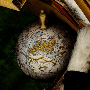
globe
maps
old maps of greece
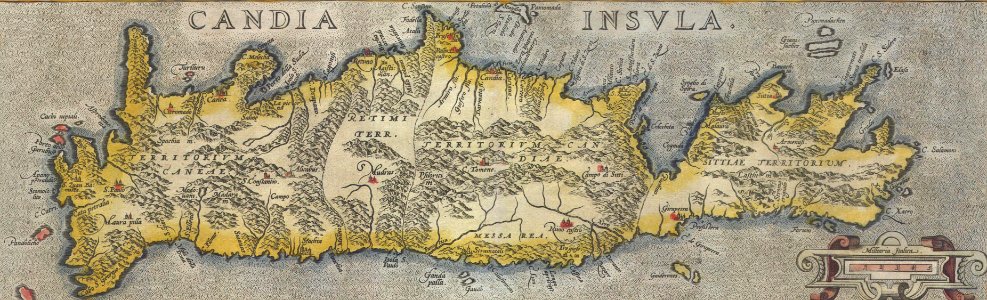
old maps of crete
maps by matthäus seutter
latin-language maps
early modern netherlandish cartography
maps with cartouches
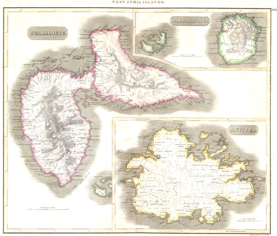
old maps of antigua and barbuda
english-language maps
maps by john thomson
old maps of nepal
maps of traditional counties of scotland
old maps of scotland
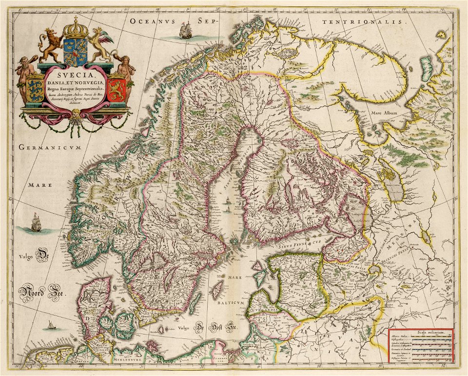
maps by willem and johannes blaeu
1640 maps
17th-century maps of finland
description de l'universe
joan blaeu
scotland
old maps of guatemala
old maps of colombia
18th-century maps of puerto rico
18th-century maps of cuba
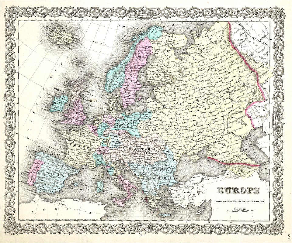
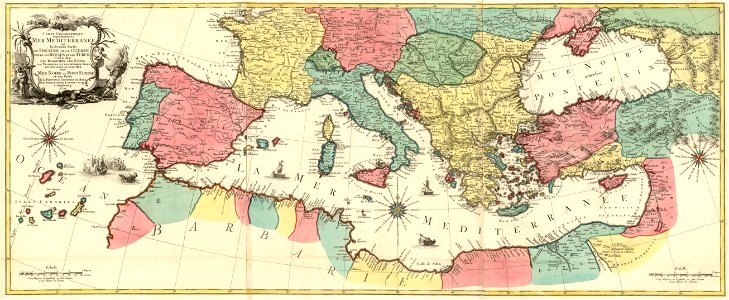
19th-century maps of europe
1855 maps
old maps of the iberian peninsula
1780s maps of spain
17th-century maps of georgia
old maps of turkey
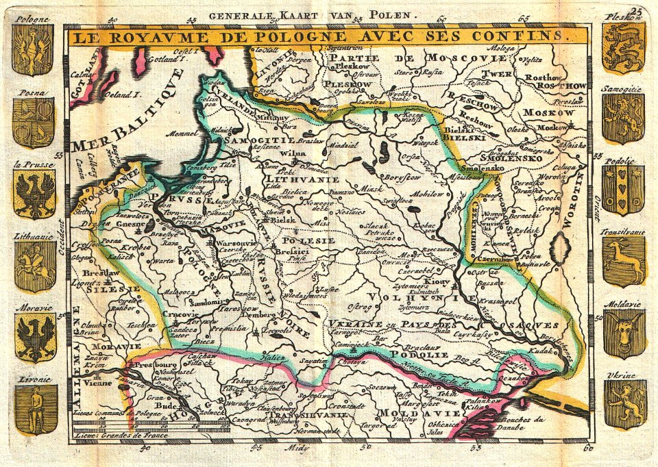
old maps of poland
johannes ratelband
16th-century globes
paintings of globes
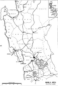
old maps of manila
maps of manila
old maps of greece
maps of chalkidiki
maps by sebastian münster
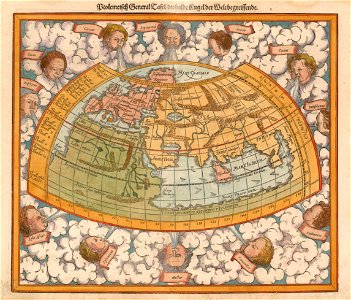
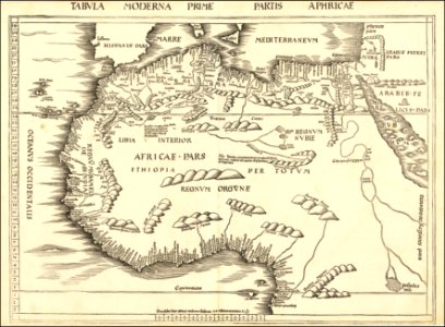
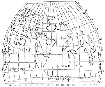
ptolemaic world maps
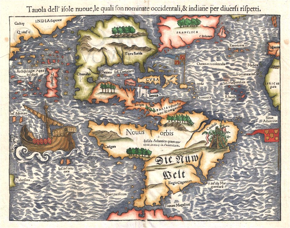
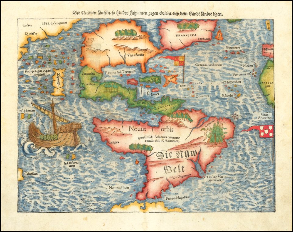
16th-century maps of the americas
maps by sebastian münster
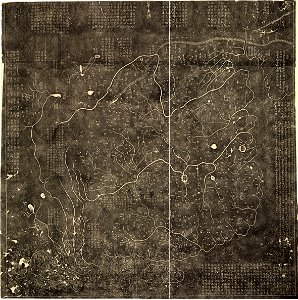
old maps of china
old map
border
maps
continent
world map
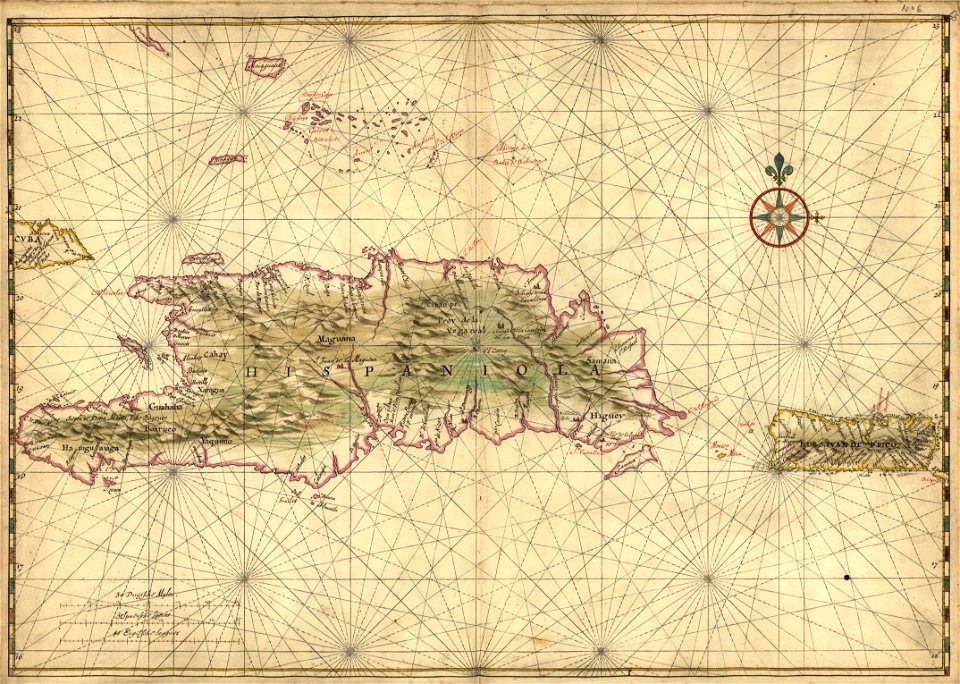
16th-century maps of hispaniola
waldseemüller map
maps by martin waldseemüller
maps of north africa
extra-ptolemaic maps of scandinavia
latin-language maps
maps by sebastian münster
1561 maps
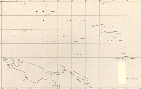
maps of islands of the pacific ocean
old maps of the pacific ocean
maps in the library of congress
1777 maps
old maps of greenland
coats of arms on maps
self-published work
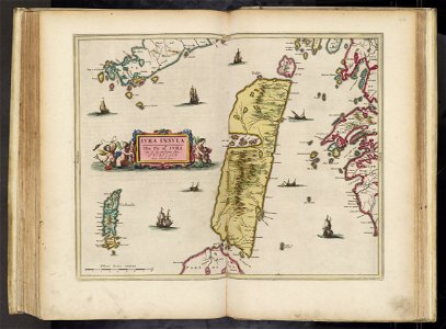
israel
david rumsey historical map collection
south carolina
old maps of ayutthaya
1753 maps
maps by homannsche erben
latin-language maps
world map
1300
david rumsey historical map collection
german-language maps
maps by william faden
maps with cartouches
clothing of russia
ships on maps
1780 maps of africa
1780 maps of egypt
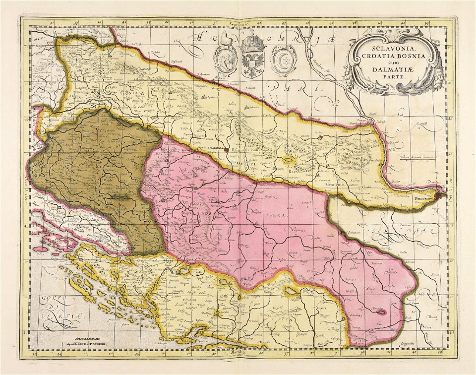
old maps of bosnia and herzegovina
gerard valck
christian gottfried heinrich geißler
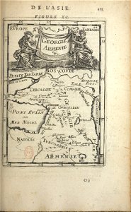
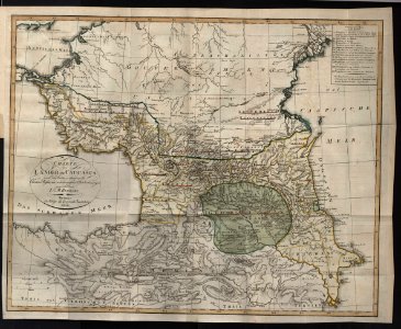
19th-century maps of the caucasus
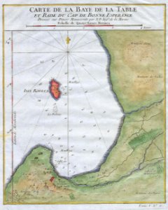
old maps of south africa
table bay
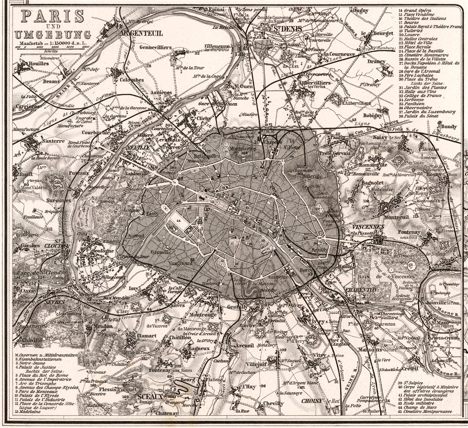
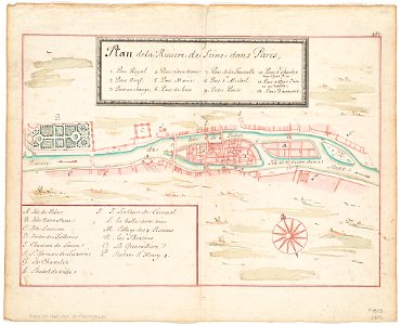
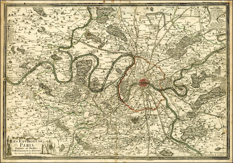
seine river in paris
1760 maps
maps from the mechanical curator collection
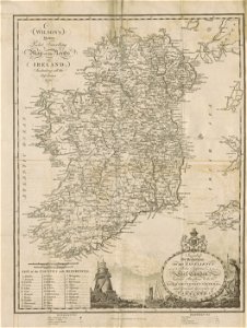
19th-century maps of ireland
maps by johannes janssonius
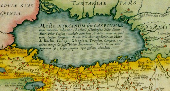
old maps of the caspian sea
maps by willem and johannes blaeu
copper engraving
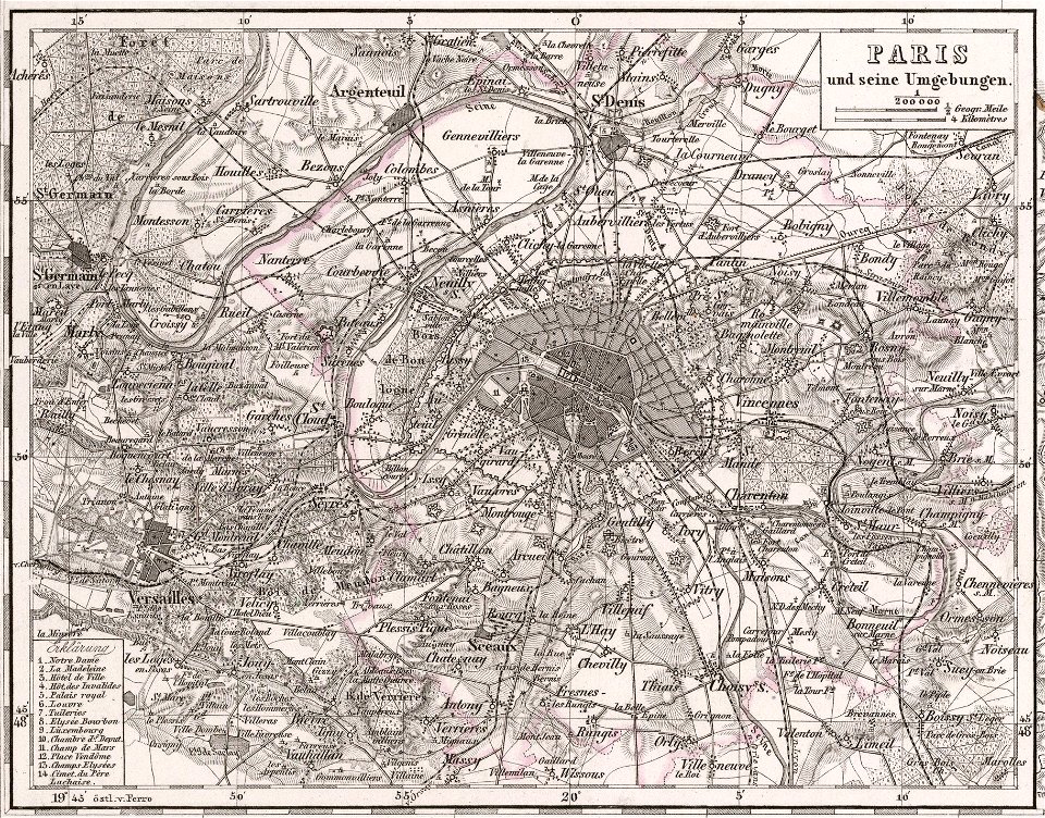
maps of paris from the david rumsey historical map collection
1873 in paris
french-language maps
1770 maps
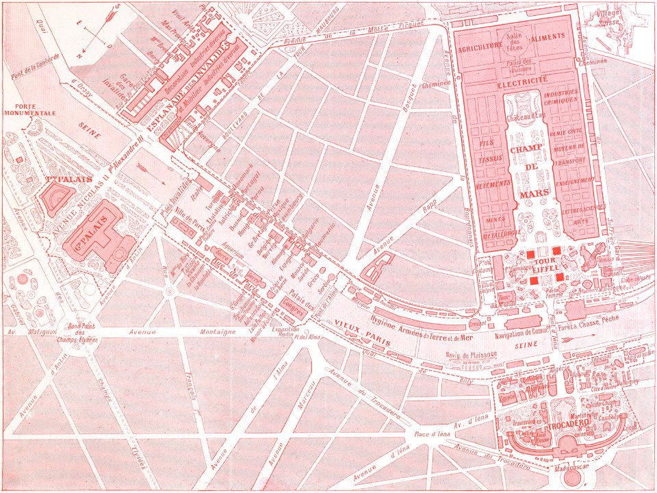
1900s maps of paris
engravings of paris
david rumsey historical map collection
german-language maps
maps of paris from the david rumsey historical map collection
1863 maps
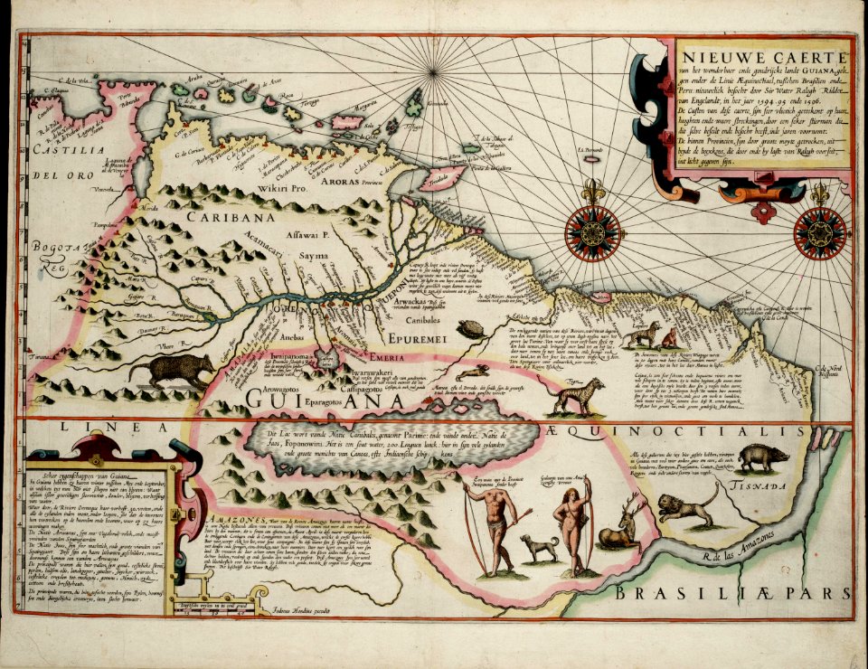
old maps of guyana
el dorado
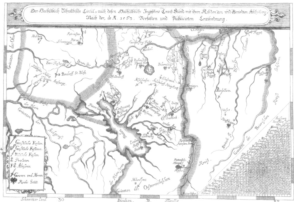
1670s maps of baden-württemberg
1672 maps
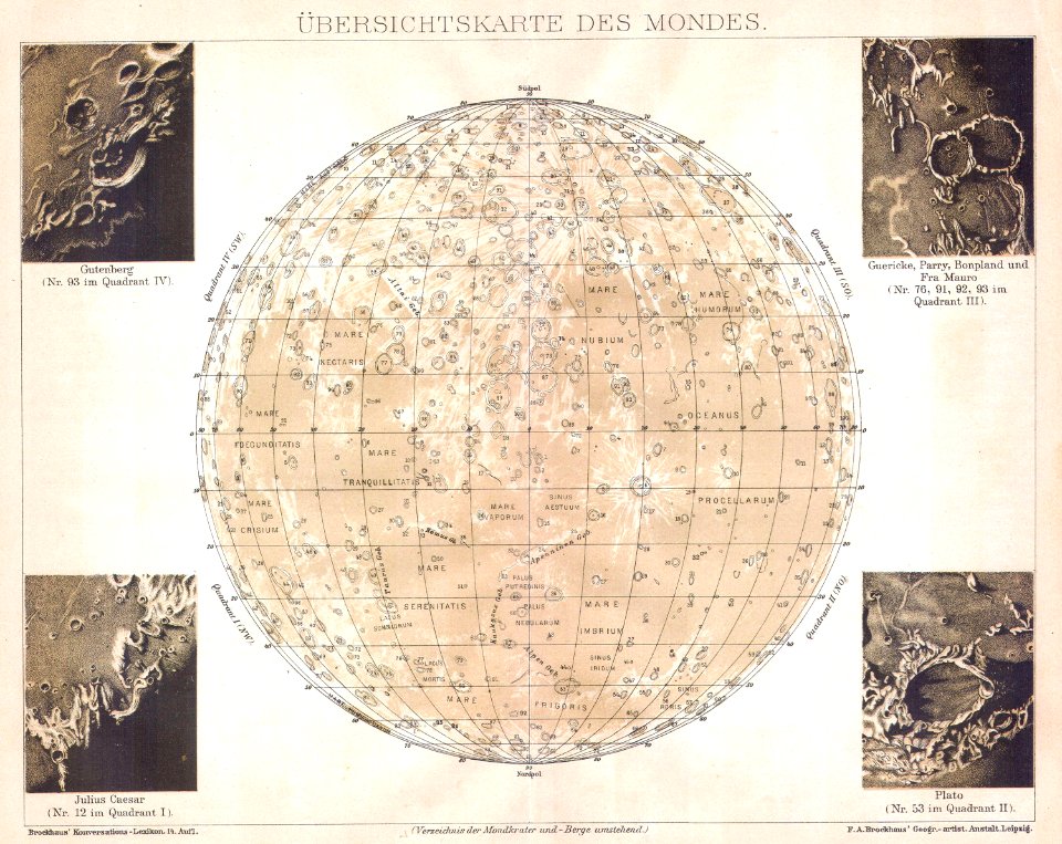
old maps of the moon
maps by brockhaus
maps from the mechanical curator collection
1852 maps
maps in the library of congress
1893 maps
maps by martin waldseemüller
1510s maps of the world
old maps of the middle east
1855 maps
old maps of kentucky
1855 maps
maps by john thomson
1814 maps
david rumsey historical map collection
old maps of corsica
maps of the west-indische compagnie
maps by william faden
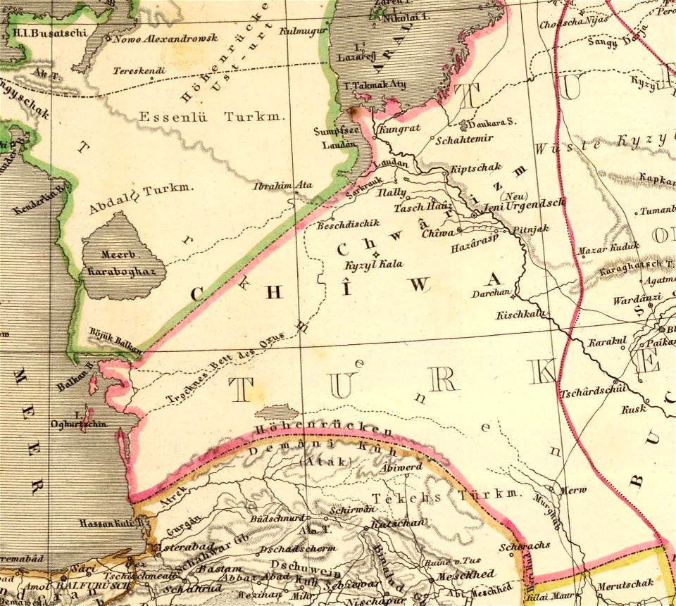
1590 maps of turkmenistan
maps of kazakhstan
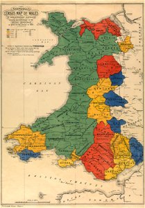
maps in the national library of wales
old maps of whole wales (alone)
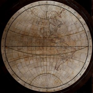
old maps of earth's hemispheres
western hemisphere
david rumsey historical map collection
old maps of aquitaine
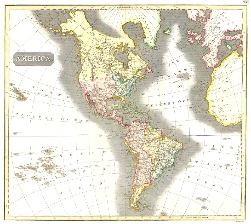
19th-century maps of the americas
english-language maps
maps of native american tribal territories
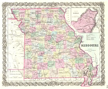
old maps of missouri
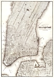
new york
maps
maps by martin waldseemüller
latin-language maps
coats of arms of the crown of aragon
coats of arms on maps
english-language maps
ptolemaic world maps
maps in the library of congress
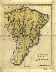
19th-century maps of brazil
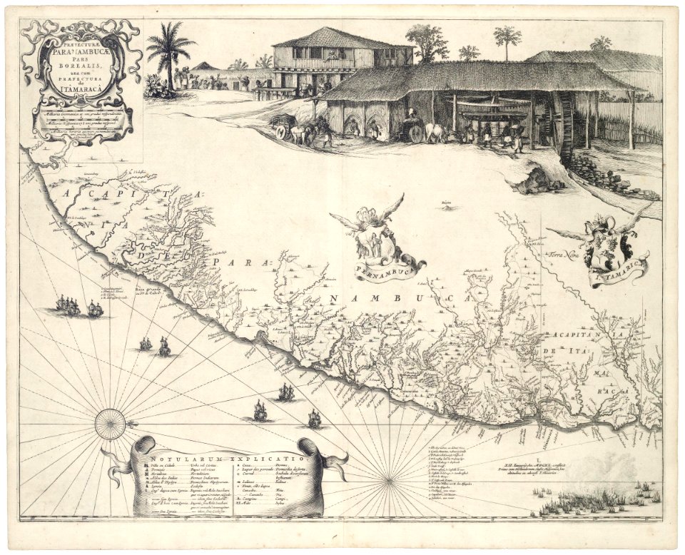
old maps of pernambuco
cornelis goliath
maps in the library of congress
1639 maps
english-language maps
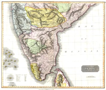
malabar district
maps of paris in the 16th century
ludovico ariosto
maps by jacques-nicolas bellin
1750 maps
david rumsey historical map collection
j. and p. knapton
maps in the library of congress
1889 maps
maps in the library of congress
1893 maps
seine river in paris
1760 maps
old maps of thailand
old maps of vietnam
new york city
bronx
maps of paris from the david rumsey historical map collection
1866 in paris
maps by joseph hutchins colton
1866 maps of idaho
3101 - 3200 of 357,615
Next page
/ 3577


![A new map of the world [cartographic material]: from the latest observations (1720) by John Senex.](https://cdn.creazilla.com/illustrations/1940323/a-new-map-of-the-world-cartographic-material-from-the-latest-observations-1720-b-md.jpeg)