Log in
All resources
Create a design
19,171 Free Images of Made
food
homemade
kitchen
cc-zero
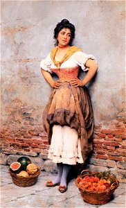
works made in france by nicolae grigorescu
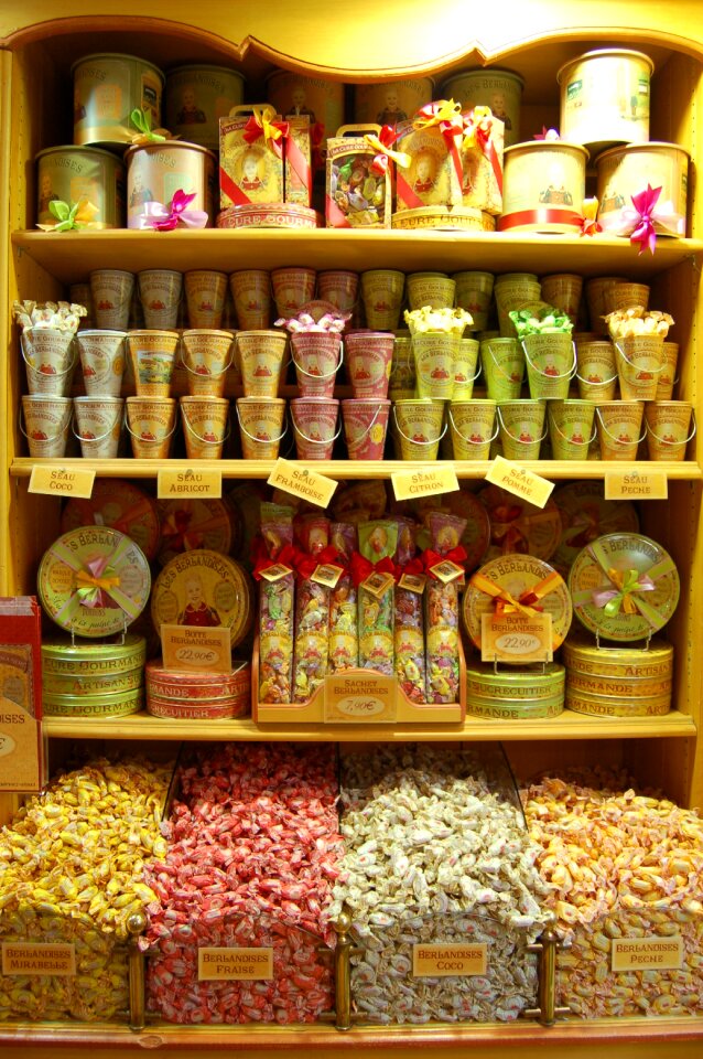
gift
packaging
delicious
decoration
christmas
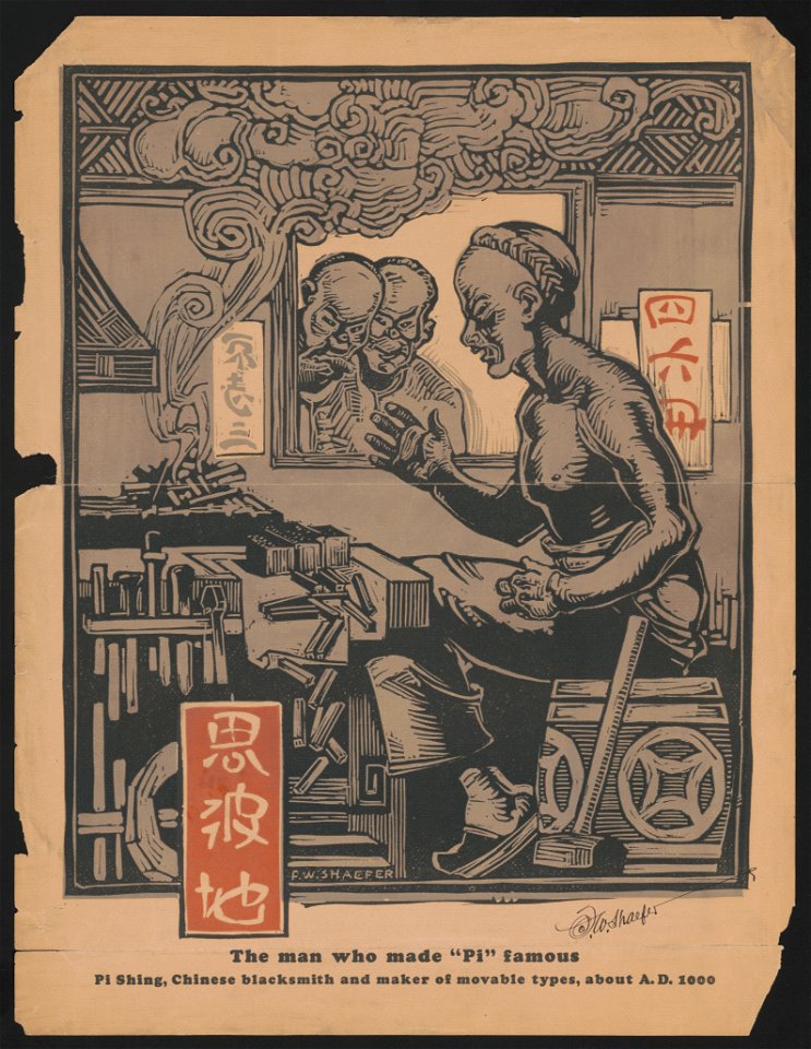
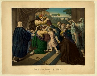
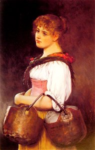
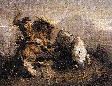
19th-century prints of men
19th-century prints of men
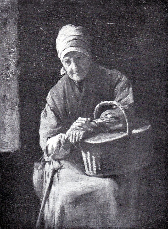
works made in france by nicolae grigorescu
works made in france by nicolae grigorescu
vegetables
food
vegetables
food
vegetables
food
plants
food
wedding
award
wedding
gift
sweets
food
birthday
gift
christmas
birthday
kitchen
blender
skyline
rock
decoration
flower
scissors
table
self-published work
cc-zero
self-published work
lawn
self-published work
cc-zero
self-published work
cc-zero
with trademark
bleach
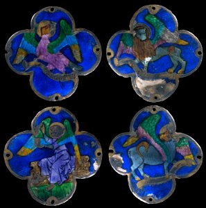
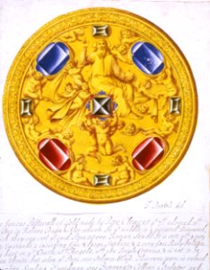
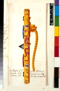
four evangelists emblems
art made with enamel
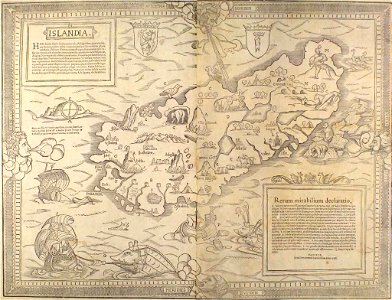
atlas schoemaker-castles
atlas schoemaker
cincinnati art museum
1788
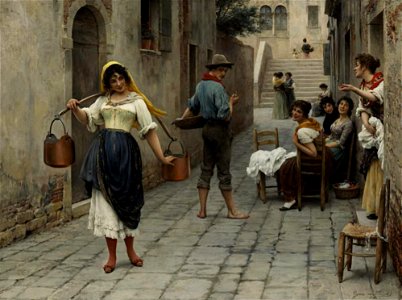
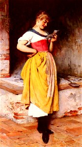
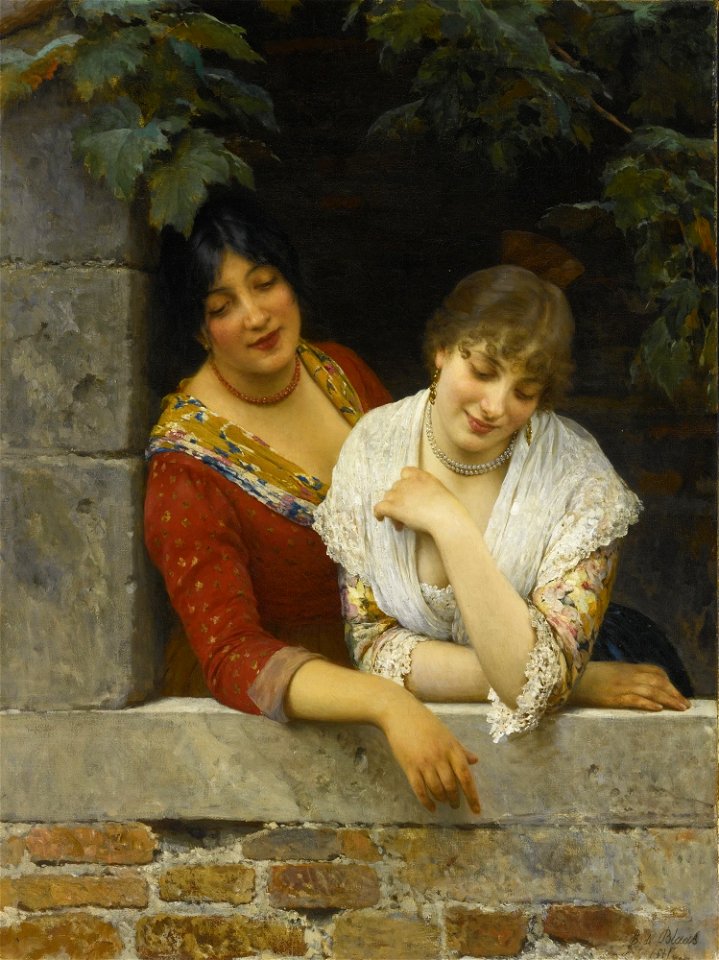
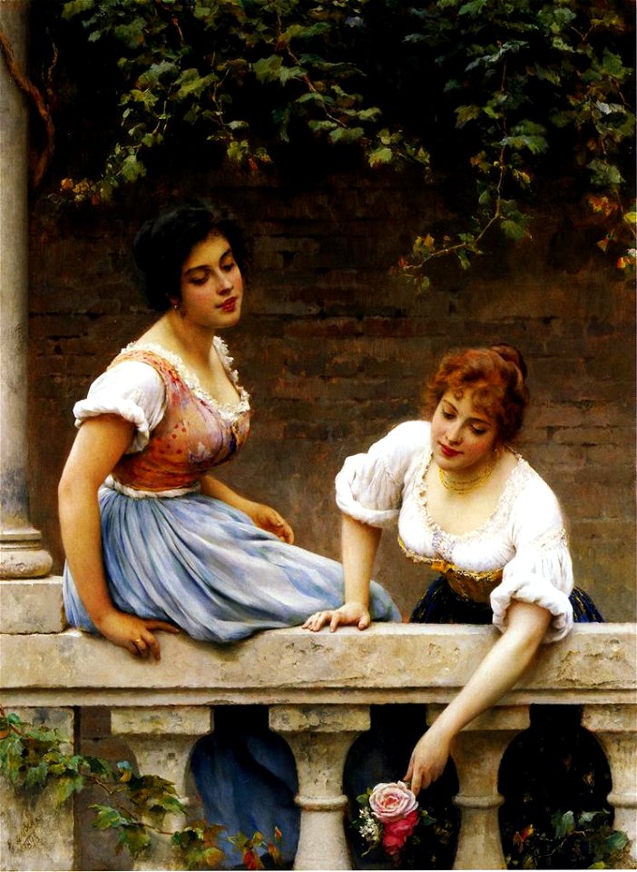
works by eugen von blaas made in the 1910s
works by eugen von blaas made in the 1880s
works by eugen von blaas made in the 1900s
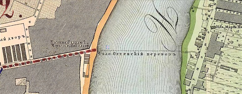
krasnogvardeysky district of saint petersburg
maps made in the 19th century
illustration
copies made by nicolae grigorescu after famous painters
works made in france by nicolae grigorescu
works made in france by nicolae grigorescu
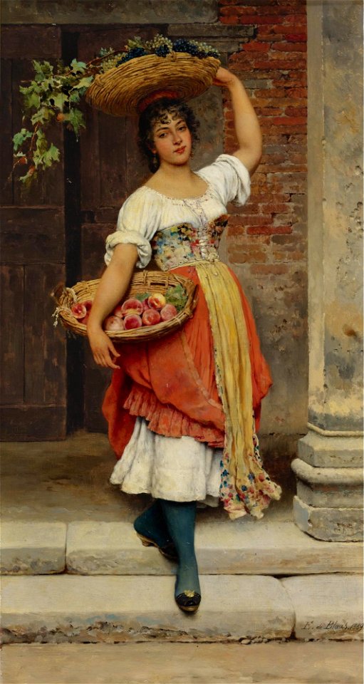
works by eugen von blaas made in the 1880s
works by eugen von blaas made in the 1890s
nature
boxing
cooking
food
nature
rock
landscape
mountain
christmas
surprised
shopping
sweets
advertising pins
with trademark
files uploaded by daderot
cc-zero
self-published work
cc-zero
self-published work
cc-zero
benvenuto cellini
book illustration
works by eugen von blaas made in the 1890s
works by eugen von blaas made in the 1890s
maps made in the 18th century
1793
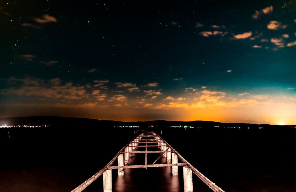
clouds
space
grass
glass
works by eugen von blaas made in the 1880s
works by eugen von blaas made in the 1890s
illustration
works made in france by nicolae grigorescu
works made in france by nicolae grigorescu
works made in france by nicolae grigorescu
clouds
space
clouds
space
kitchen
food
winter
face
christmas
toy
halloween
skull
decoration
diwali
benvenuto cellini
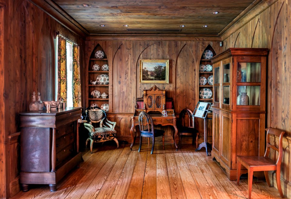
living room
furniture
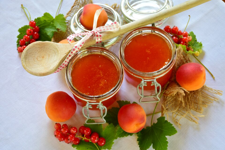
berries
food
vegetables
food
christmas
maps
nature
water
christmas
maps
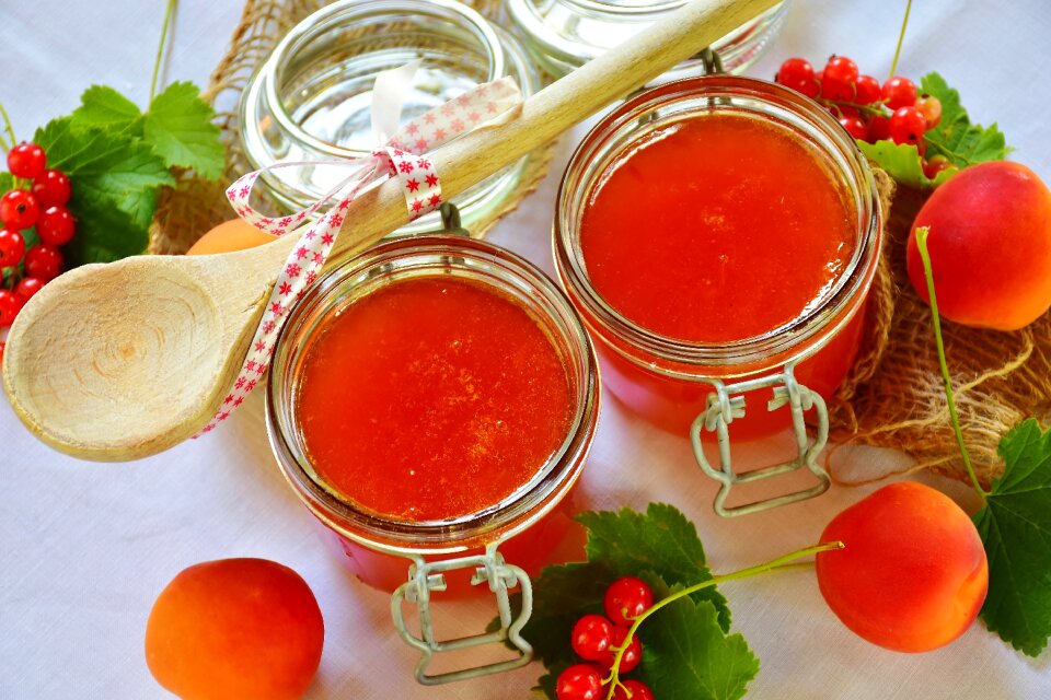
glass
jelly
berries
food
christmas
maps
vegetables
food
treasure
ruby
technology
tools
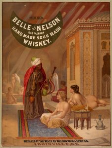
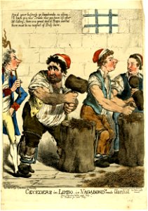
prints in the library of congress
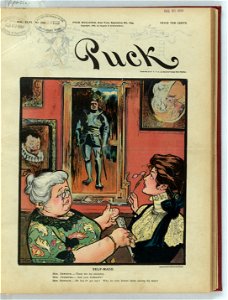
puck
1899
puck
1899
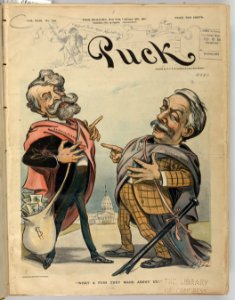
puck
1901
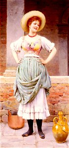
works by eugen von blaas made in the 1880s
works by eugen von blaas made in the 1880s
works by eugen von blaas made in the 1910s
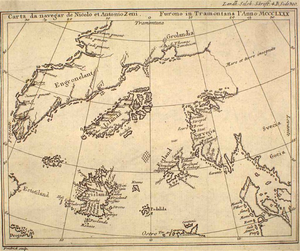
provided by landsbókasafn íslands
maps made in the 16th century
satirical prints in the british museum
works made in france by nicolae grigorescu
works by eugen von blaas made in the 1900s
works by eugen von blaas made in the 1900s
works by eugen von blaas made in the 1900s
works by eugen von blaas made in the 1890s
works by eugen von blaas made in the 1900s
works by eugen von blaas made in the 1890s
christmas
winter
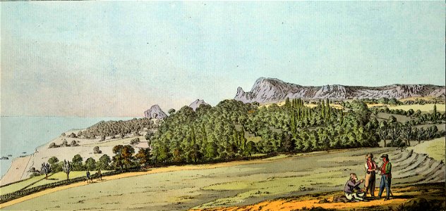
observations made during a trip to the southern russian governorship of the state in 1793—1794
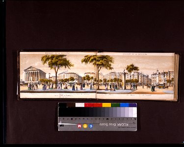
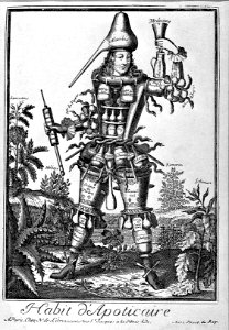
costumes grotesques et métiers
puck
1901
works by eugen von blaas made in the 1900s
works by eugen von blaas made in the 1880s
601 - 700 of 19,171
Next page
/ 192