Log in
All resources
Create a design
44,581 Free Images of Hemisphere
island of california on world maps
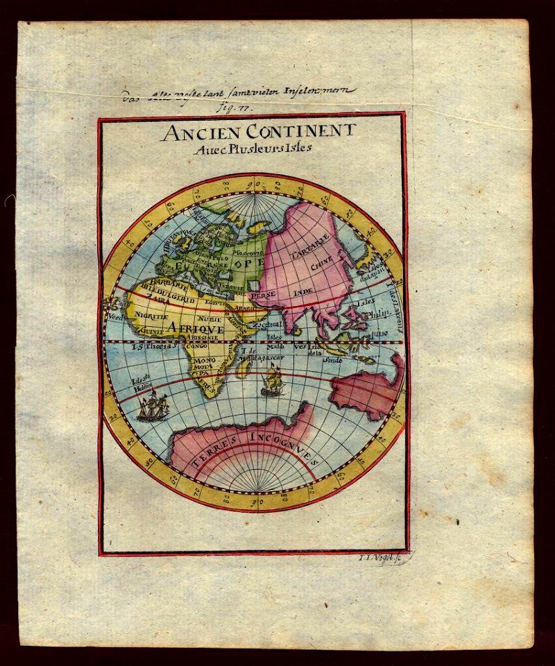
17th-century double hemisphere world maps
botany
period
missouri botanical garden
peter h. raven library
pictorial works
#bhlcurtis
description de l'universe
ornament
maps with figures
michael burghers
maps from the earth and its inhabitants, vol. iv
19th-century double hemisphere world maps
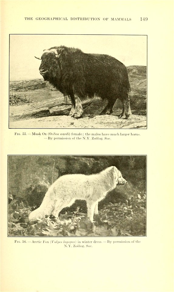
a history of land mammals in the western hemisphere (1913)
ursus maritimus in the bronx zoo
animals
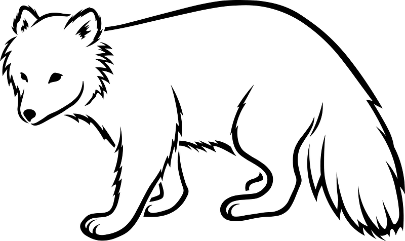
fox
atlas minor gerardi mercatoris (1614, maps)
17th-century double hemisphere world maps
17th-century double hemisphere world maps
1610s maps of the world
1690s maps of the world
maps by carolus allard
maps in the library of congress
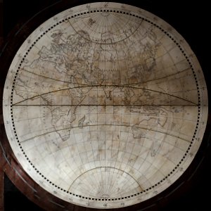
1664 maps
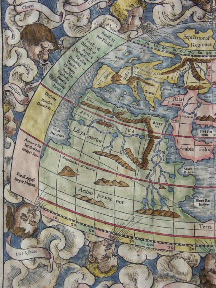
woodcuts by albrecht dürer in the national gallery of art
german renaissance
flora of bergehalde viktoria
asteraceae in püttlingen
flora of bergehalde viktoria
asteraceae in püttlingen
invasive plants in sankt johann (saar) (ranunculales)
ranunculales in saarbrücken in august
invasive plants in sankt johann (saar) (ranunculales)
ranunculales in saarbrücken in august
maps in the british museum
german renaissance
maps in the british museum
german renaissance
maps in the british museum
german renaissance
1690s maps of the world
copper engravings
maps by thomas kitchin
andrew dury
maps by willem and johannes blaeu
1660s maps of the world
english-language maps
1776 maps
animals
mammals
high renaissance
codex windsor
island of california on world maps
1650s maps of the world
invasive plants in sankt johann (saar) (ranunculales)
ranunculales in saarbrücken in august
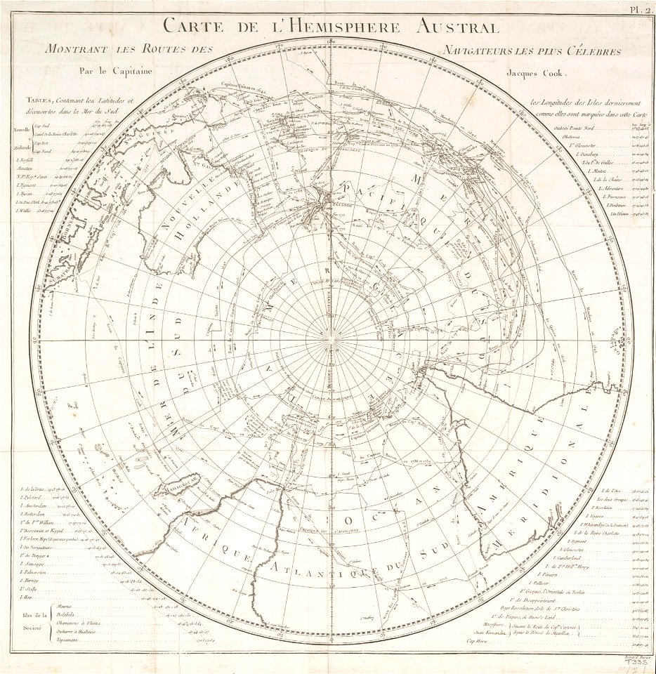
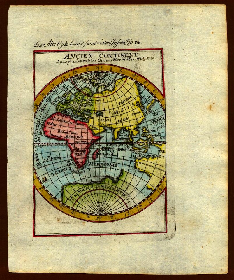
18th-century double hemisphere world maps
1730s maps of the world
18th-century double hemisphere world maps
1730s maps of the world
maps in the library of congress
1690s maps of the world
maps by frederick de wit
copper engraving
forests in saarland in july 2024
flora of bergehalde viktoria
forests in saarland in july 2024
flora of bergehalde viktoria
architecture
bayeux
island of california on world maps
1680s maps of the world
1850s maps of the americas
maps by john tallis
armillary spheres in art
1770s maps of the world
atlas ou representation du monde universel t. 1 (1633)
17th-century double hemisphere world maps
flora of bergehalde viktoria
apiaceae in püttlingen
flora of bergehalde viktoria
apiaceae in püttlingen
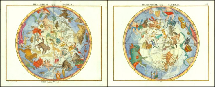
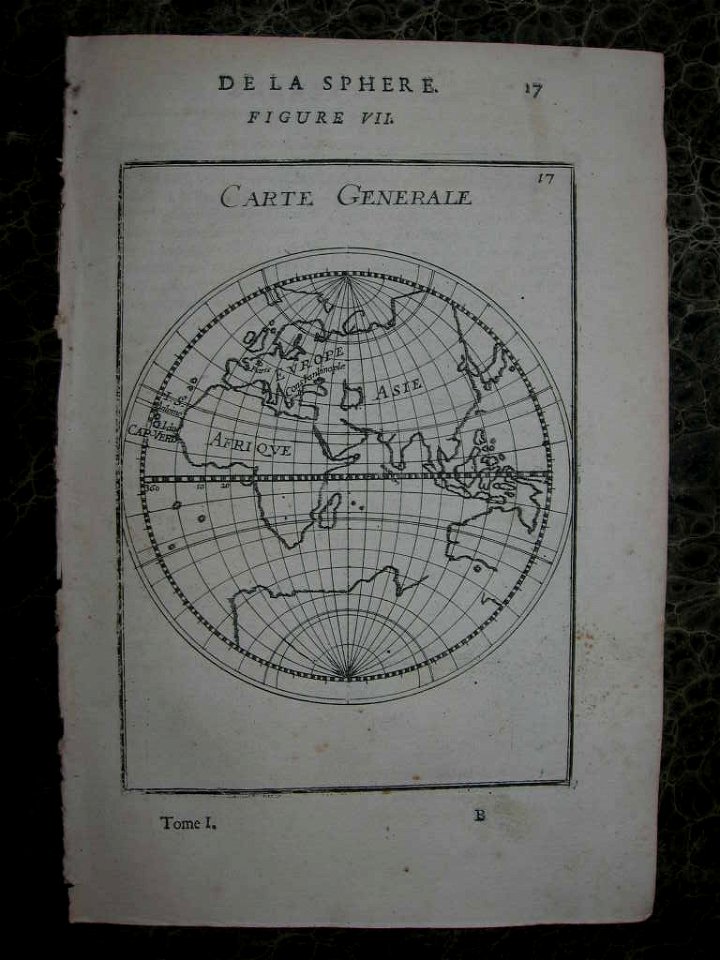
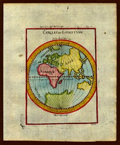
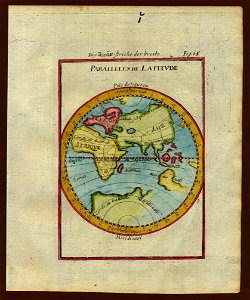
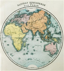
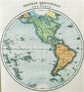
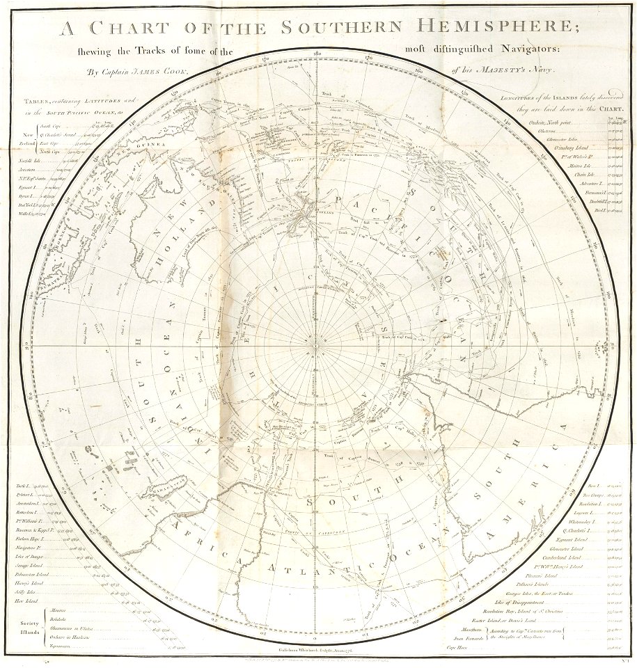
old maps of earth's hemispheres
english-language maps
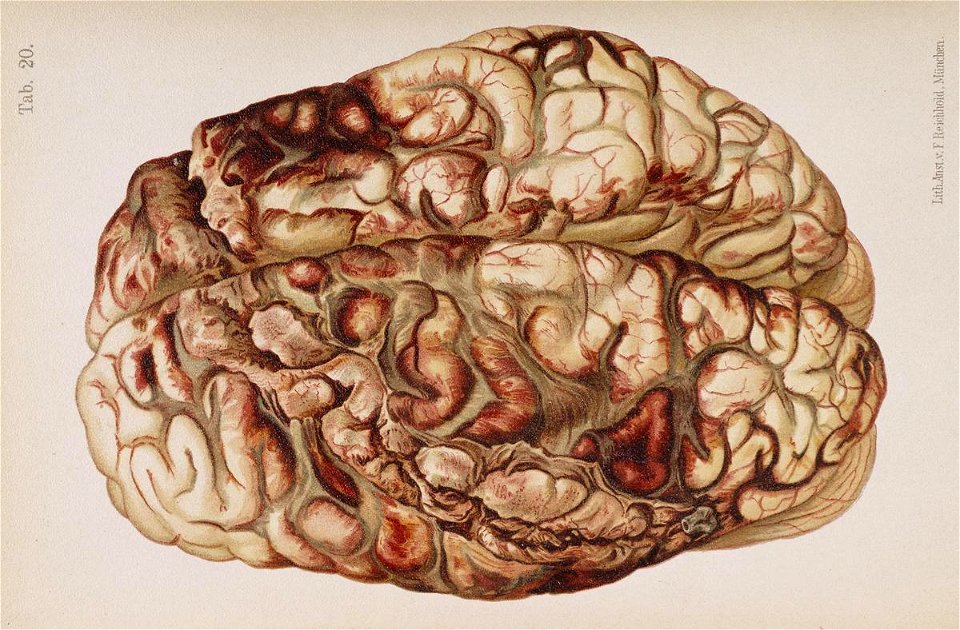
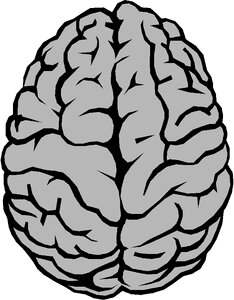
traumatic brain injury
cerebral hemispheres
poor quality images of prints by albrecht dürer
german renaissance
wildlife
animals
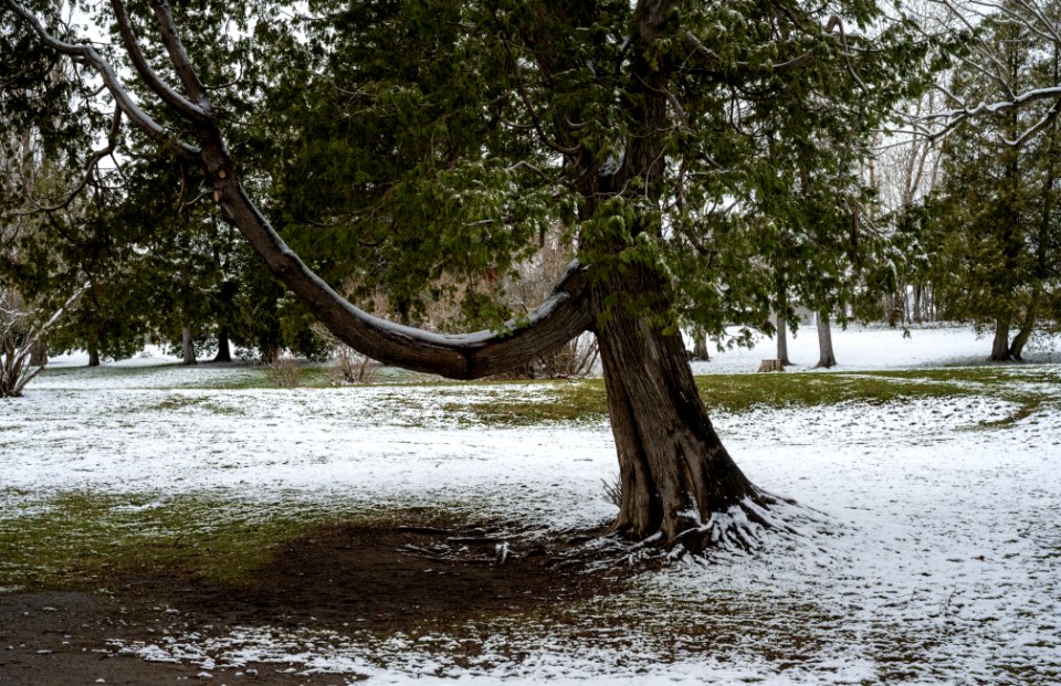
tree
wood
maps by willem and johannes blaeu
novus atlas blaeu
19th-century engravings
nat turner
woodcuts in the rijksmuseum amsterdam
german renaissance
john james barralet
sydney parkinson
18th-century double hemisphere world maps
1720s maps of the world
animals
seal
william de la montagne cary
battle of bad axe
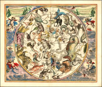
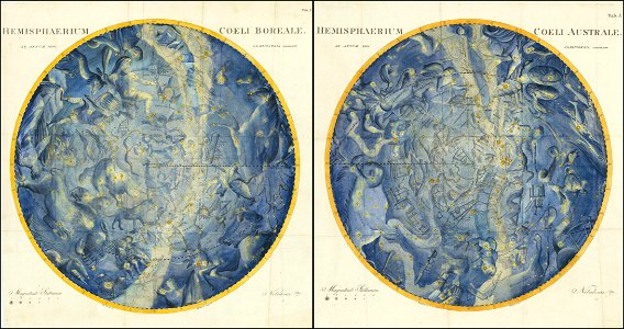
atlas celeste de flamsteed
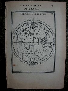
maps of the world with orthographic projection
maps of the world without antarctica
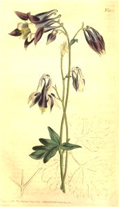
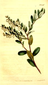
wellcome library botanical illustrations
wellcome rare books collection
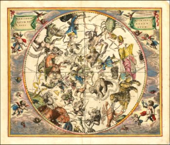
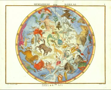
andreas cellarius
inns in the united states
puritans
animals
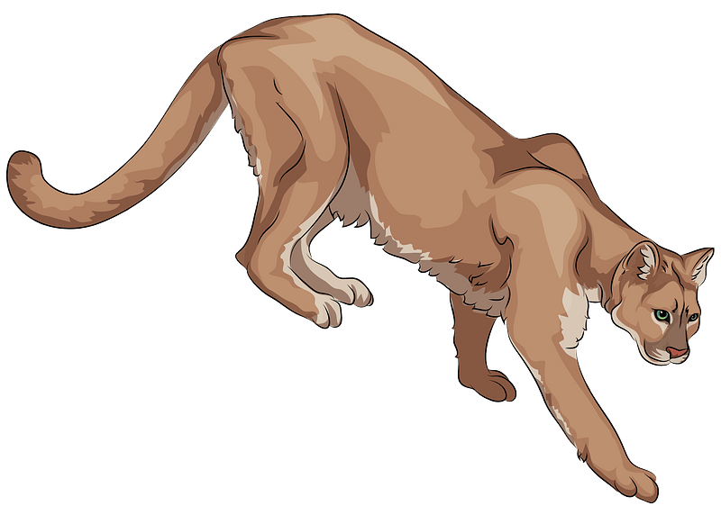
cougar
maps in the rijksmuseum amsterdam
maps by frederick de wit
university
astronomy
atlas maior, vol 1 (northern europe, norway, and denmark) - joan blaeu, 1667 - bl 114.h(star).1
17th-century double hemisphere world maps
nypl lionel pincus and princess firyal map division
geographical atlases
1740s maps of the world
maps by emanuel bowen
ornament
plants
ornament
plants
ornament
plants
ornament
plants
ornament
plants
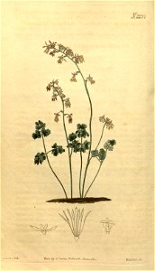
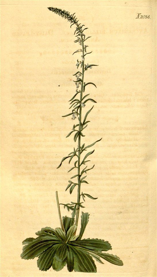
botany
period
ornament
plants
flower
botany
atlas celeste de flamsteed
ornament
plants
ornament
plants
self-published work
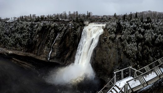
water
1740s maps of the world
burgerzaal map
andreas cellarius
landscape
tree
ornament
plants
old maps of earth's hemispheres
french-language maps
cerebral hemispheres
brodmann areas
description de l'universe
1710s maps of the world
description de l'universe
1680s maps of the world
old celestial maps
1800 maps
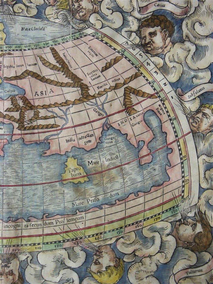
illustrations of cosmographia (münster)
old map
description de l'universe
1710s maps of the world
description de l'universe
1710s maps of the world
illustrations of cosmographia (münster)
old map
andreas cellarius
description de l'universe
1680s maps of the world
description de l'universe
1710s maps of the world
description de l'universe
old maps of the world
description de l'universe
1680s maps of the world
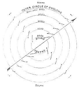
popular science monthly illustrations/volume 16
low pressure systems
travel
maps
anatomy
brain
travels and adventures in all parts of the globe (1870)
all round the world: an illustrated record of voyages
travels and adventures in all parts of the globe (1870)
all round the world: an illustrated record of voyages
animals
cougar
travel
tree
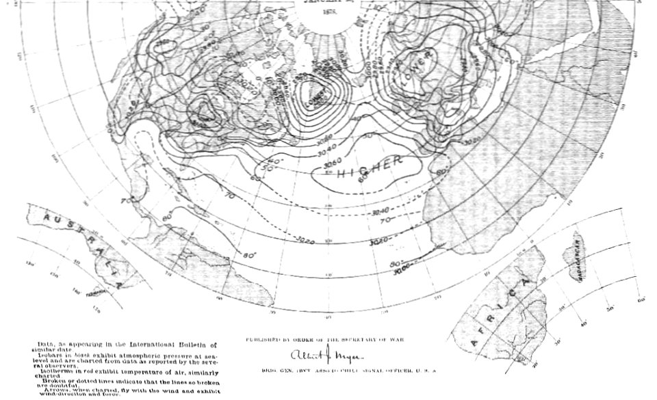
old weather and climate maps
1880 maps
old weather and climate maps
1880 maps
water
bird
301 - 400 of 44,581
Next page
/ 446


![[Nova et accuratissima totius terrarum orbis tabula]., Joan Blaeu, 1664](https://cdn.creazilla.com/illustrations/10001308540/nova-et-accuratissima-totius-terrarum-orbis-tabula-joan-blaeu-1664-md.jpg)


![Gerardi Mercatoris and I. Hondii Atlas or Representation of the Universal World, and of the Parts of It, Made in Tables and Descriptions Very Ample, and Exact: Divided into Two Volumes [...]. [t. 1].](https://cdn.creazilla.com/illustrations/10000622971/gerardi-mercatoris-and-i-hondii-atlas-or-representation-of-the-universal-world-and-of-the-parts-of-it-made-in-tables-and-descriptions-very-ample-and-exact-divided-into-two-volumes-t-1-md.jpg)