Log in
All resources
Create a design
7,183 Free Images of Gemeente
cc-zero
photographs by henk van gaal
uploaded via campaign:wlm-nl-gemeente
gemeentelijke monumenten with known ids
gemeentelijke monumenten missing sdc depicts
gemeentelijke monumenten missing sdc location of creation
pages with maps
media with estimated locations
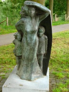
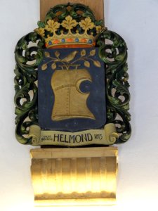
gemeentelijke monumenten in wijchen
netherlands photographs taken on 2014-03-02
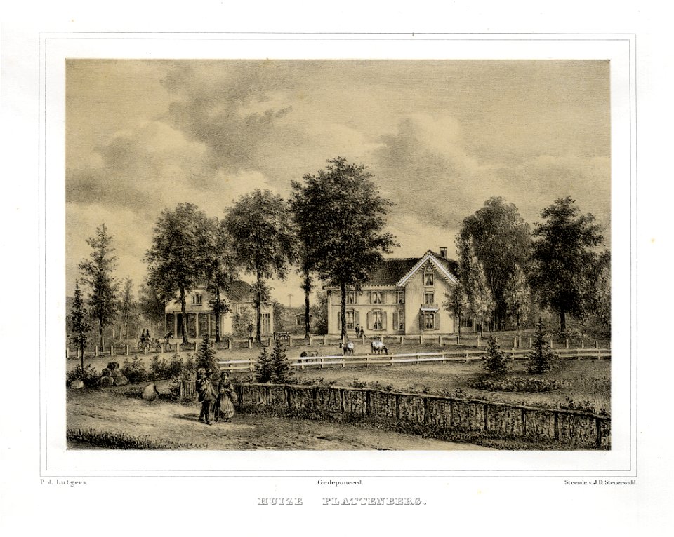
drawings and prints from het utrechts archief of country estates and houses in the netherlands to sort out
collection drawings and prints from het utrechts archief
collection drawings and prints from het utrechts archief
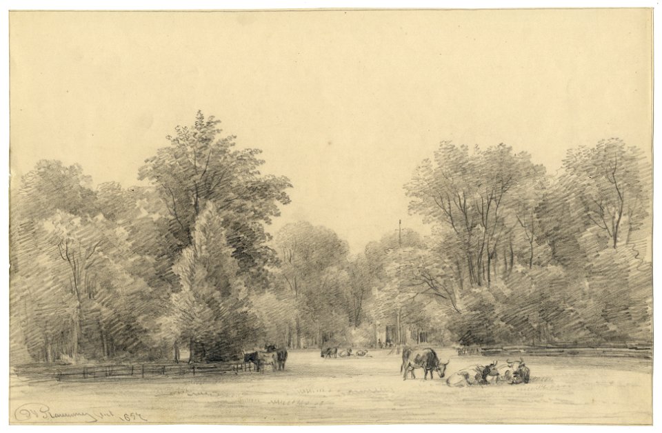
parks in the netherlands
collection drawings and prints from het utrechts archief
parks in the netherlands
collection drawings and prints from het utrechts archief
parks in the netherlands
self-published work
metal
metalwork in the amsterdam museum
jacob samuel cohen elion
self-published work
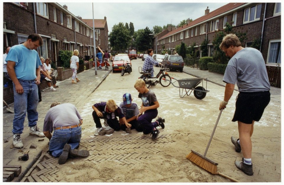
pavement
metalwork in the amsterdam museum
jacob samuel cohen elion
drawings and prints from het utrechts archief of country estates and houses in the netherlands to sort out
collection drawings and prints from het utrechts archief
drawings and prints from het utrechts archief of country estates and houses in the netherlands to sort out
collection drawings and prints from het utrechts archief
sidewalk
pavement
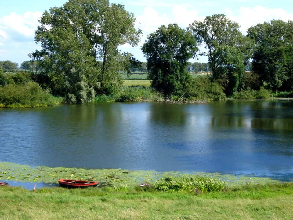
landscape
grass
water
river
architecture
village
self-published work
cc-zero
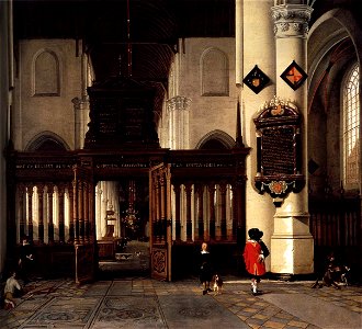
1660s paintings in the netherlands
delft
self-published work
pages with maps
april 2016 in amsterdam
self-published work
april 2016 in amsterdam
self-published work
april 2016 in amsterdam
self-published work
1998 in haarlem
cc-zero
april 2016 in amsterdam
self-published work
april 2016 in amsterdam
self-published work
self-published work
cc-zero
1991 in the netherlands
beeckestijn
self-published work
pages with maps
self-published work
pages with maps
grass
field
self-published work
field
self-published work
pages with maps
agriculture
grass
self-published work
duffel
summer
water
architecture
grass
self-published work
cc-zero
self-published work
tree
self-published work
town
self-published work
village
self-published work
pages with maps
1991 in the netherlands
beeckestijn
street scene
people
self-published work
lawn
self-published work
cc-zero
architecture
lawn
prince of orange
delft
self-published work
architecture
rural
roof
self-published work
pages with maps
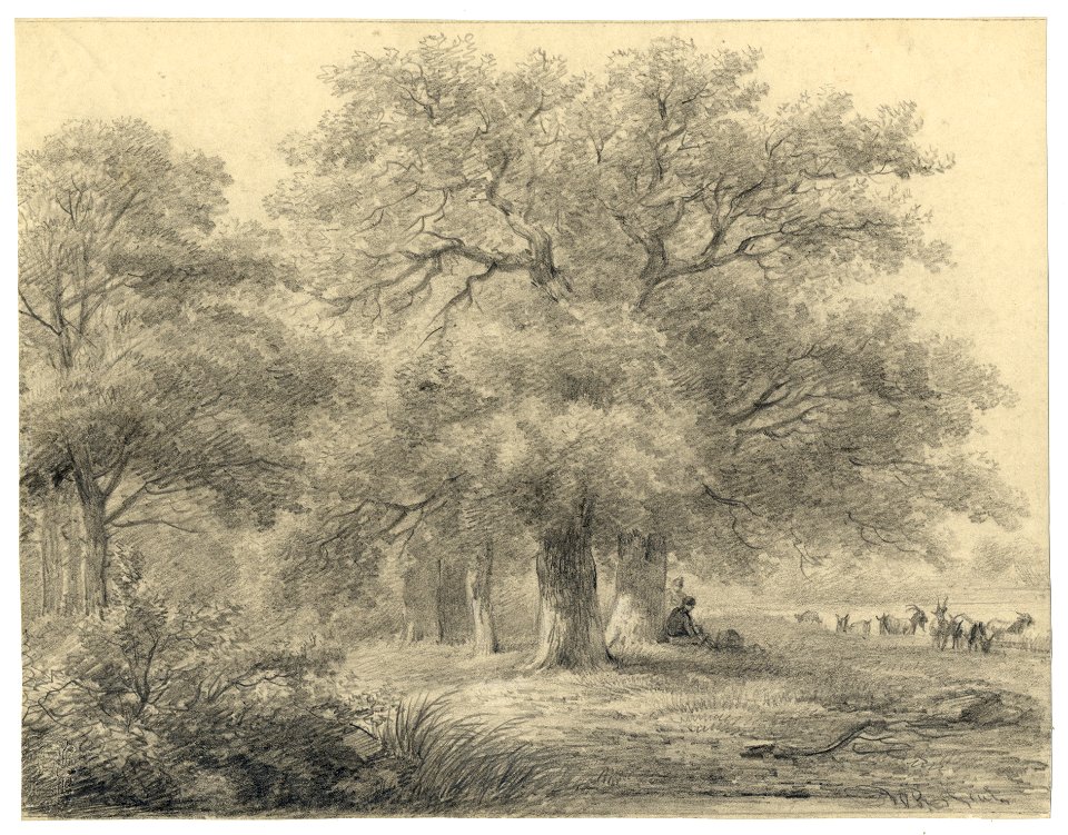
forest
tree
self-published work
pages with maps
self-published work
pages with maps
self-published work
pages with maps
forest
tree
forest
tree
self-published work
grass
self-published work
town
village
roof
village
rural
village
town
self-published work
lawn
architecture
facade
self-published work
pages with maps
self-published work
pages with maps
self-published work
pages with maps
self-published work
building structure
self-published work
lawn
village
roof
self-published work
building structure
self-published work
pages with maps
self-published work
pages with maps
self-published work
pages with maps
self-published work
roof
rural
roof
architecture
village
self-published work
town
village
grass
self-published work
pages with maps
self-published work
pages with maps
self-published work
rural
village
roof
village
roof
sidewalk
pavement
self-published work
lawn
grass
lawn
rural
roof
self-published work
rural
grass
field
self-published work
town
self-published work
pages with maps
village
roof
architecture
village
grass
roof
self-published work
pages with maps
self-published work
village
self-published work
architecture
roof
lawn
architecture
lawn
architecture
grass
village
roof
village
rural
501 - 600 of 7,183
Next page
/ 72