Log in
All resources
Create a design
7,183 Free Images of Gemeente
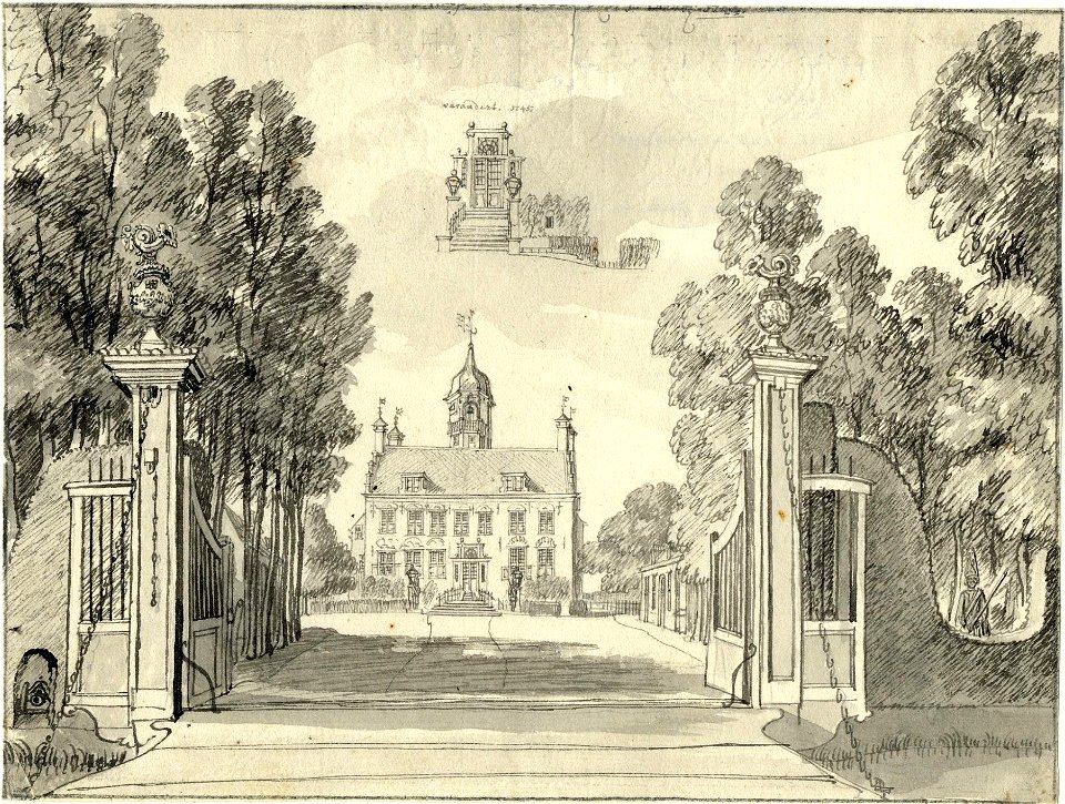
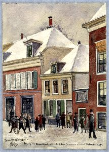
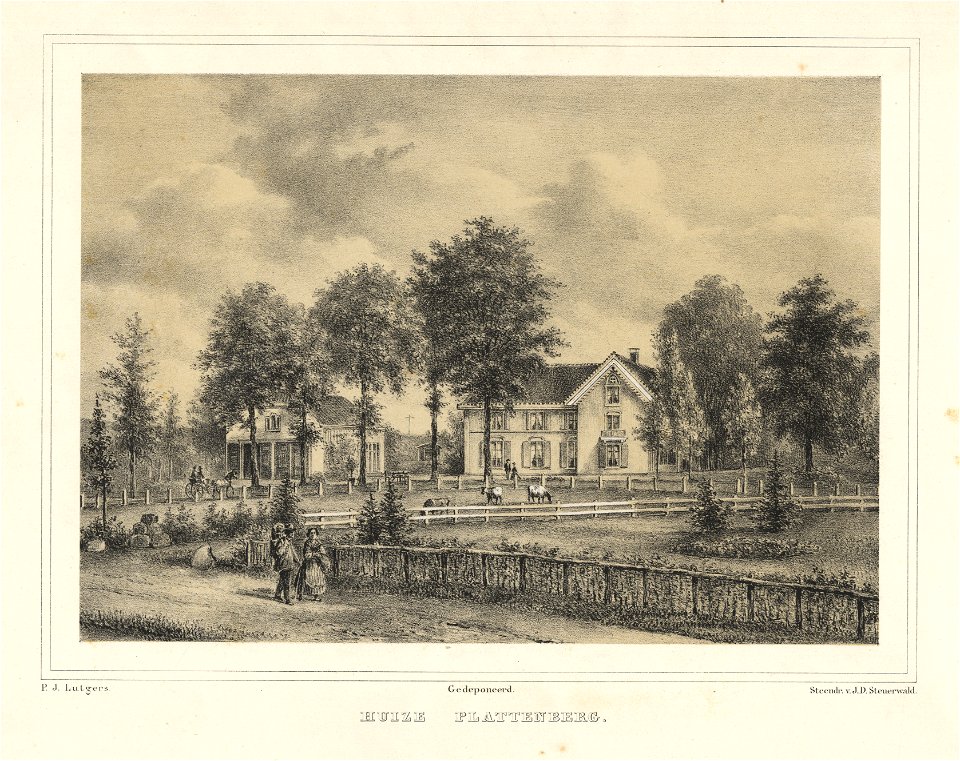
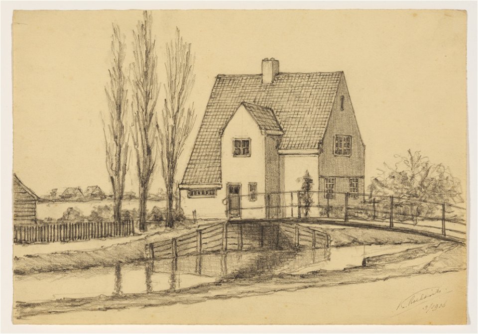
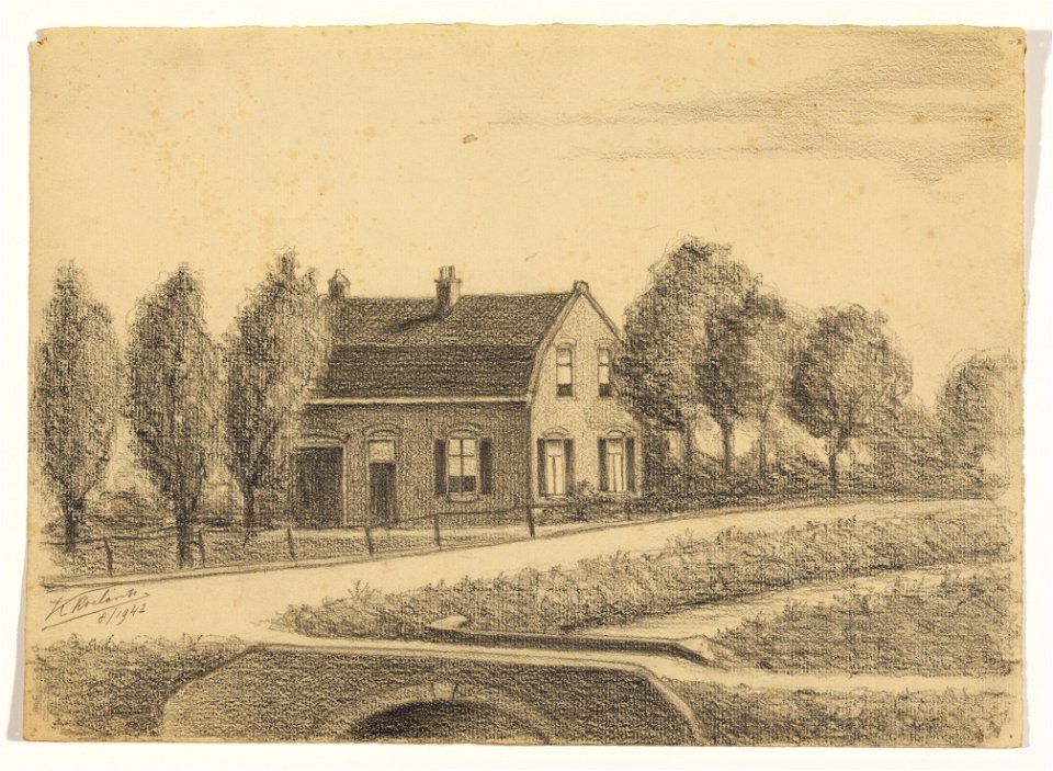
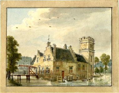
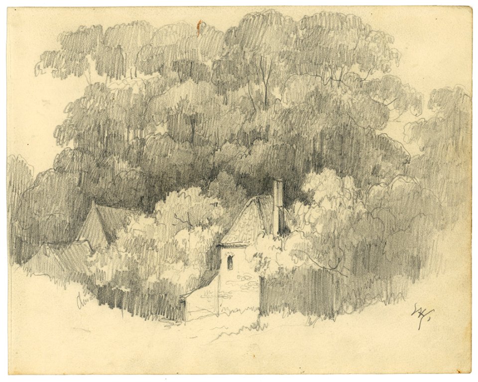
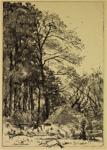
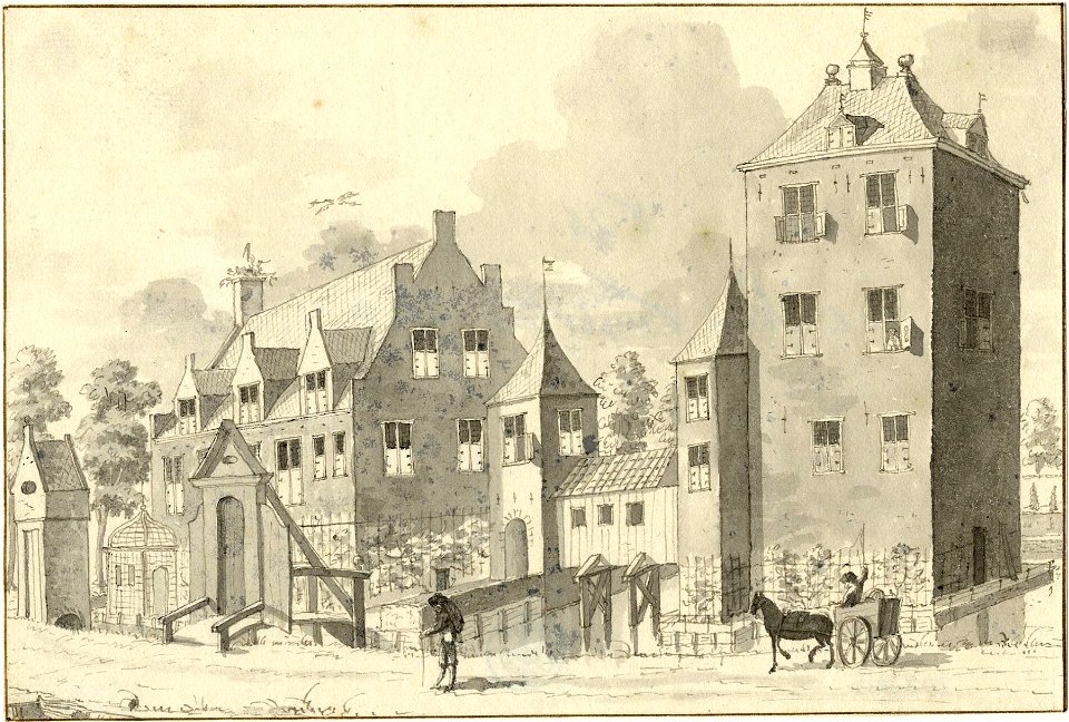
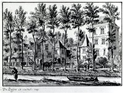
collection drawings and prints from het utrechts archief
cc-zero
pages with maps
rijksmonumenten with known ids
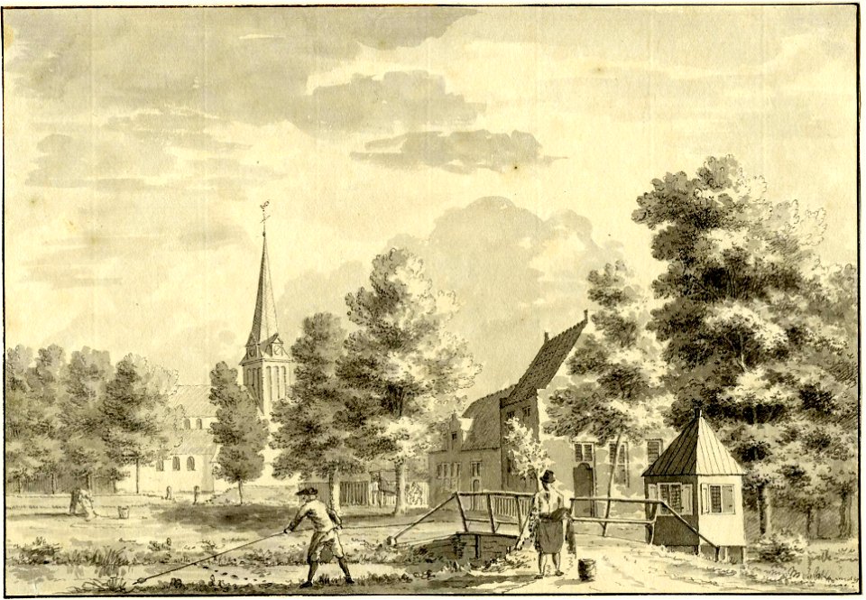
village
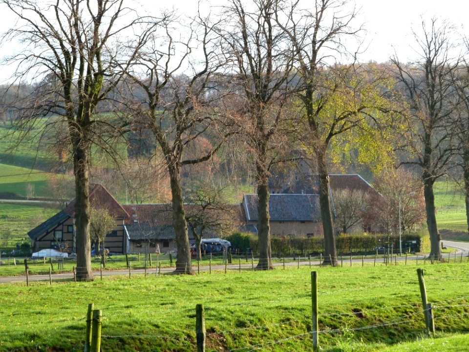
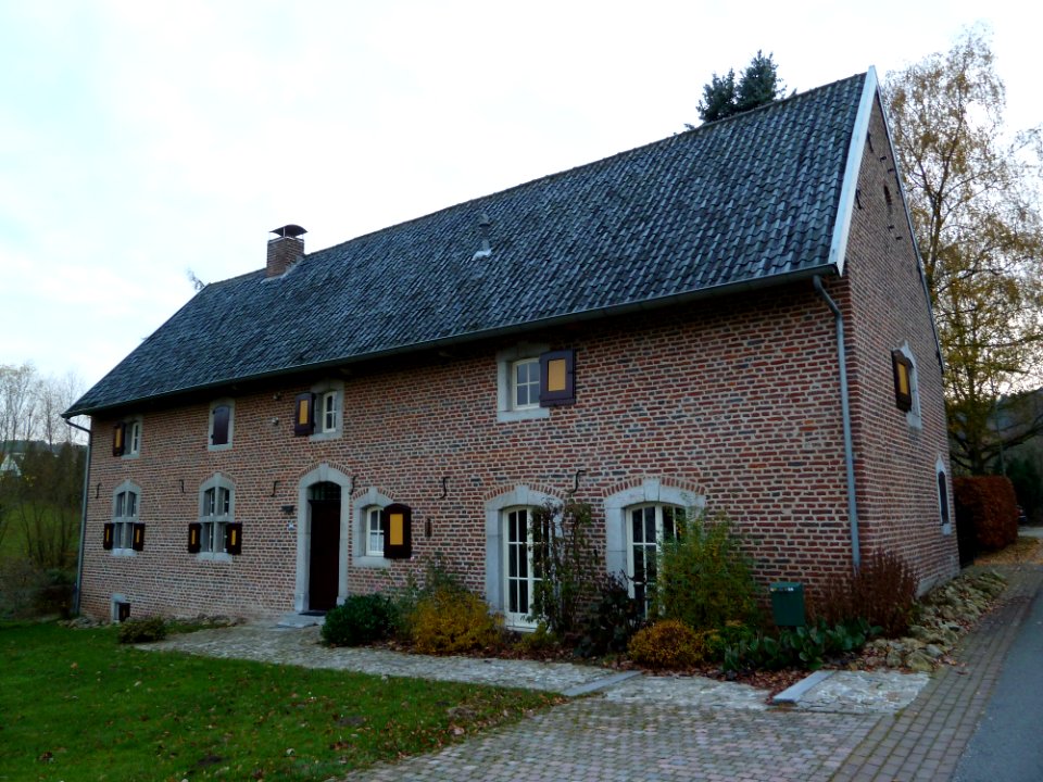
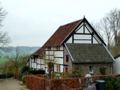
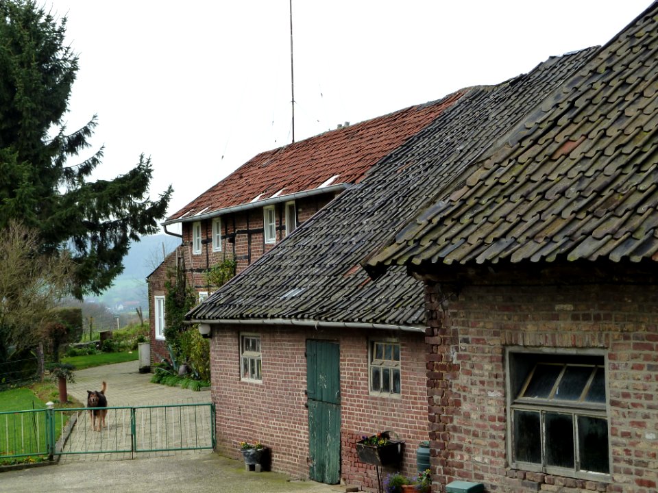
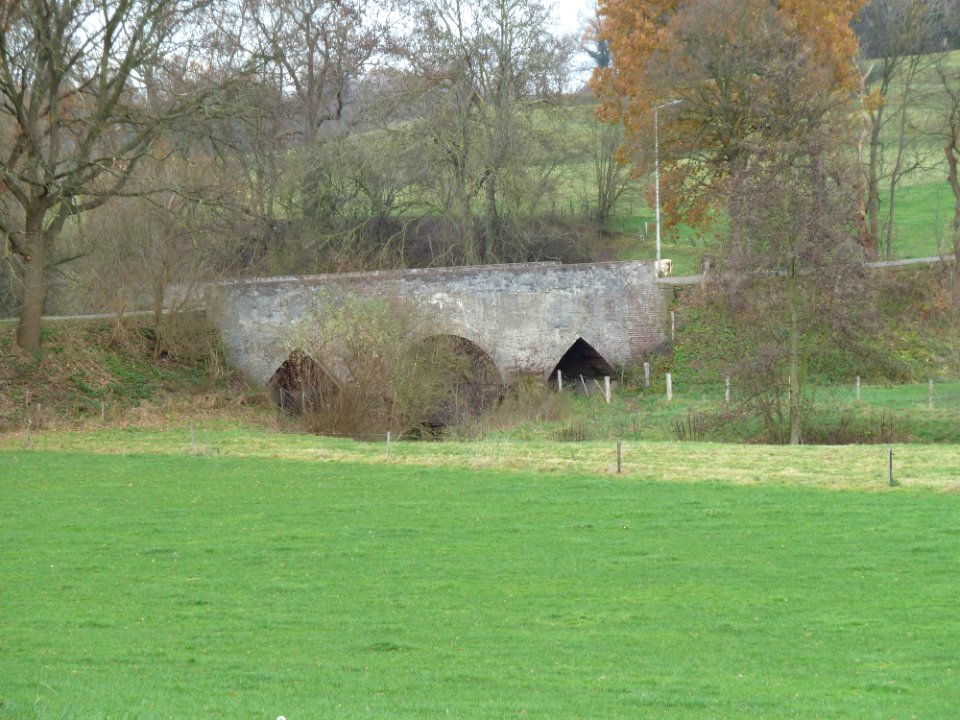
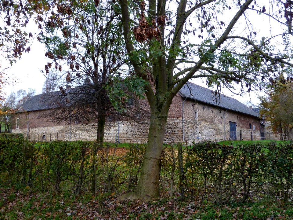
farmhouses in vaals (gemeente)
architecture
rural
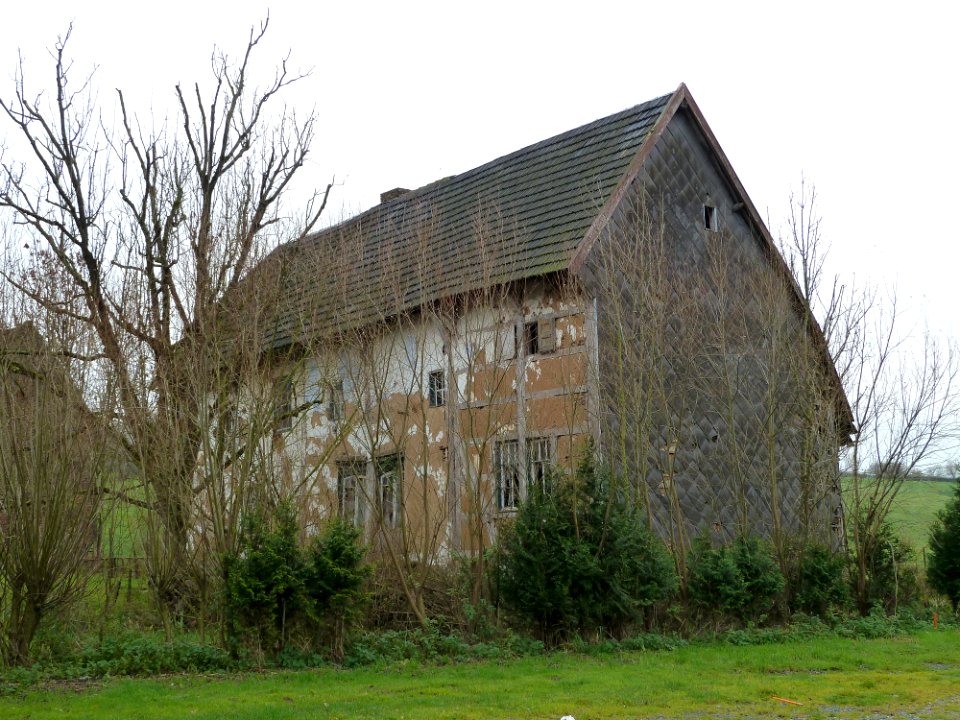
farmhouses in voerendaal (gemeente)
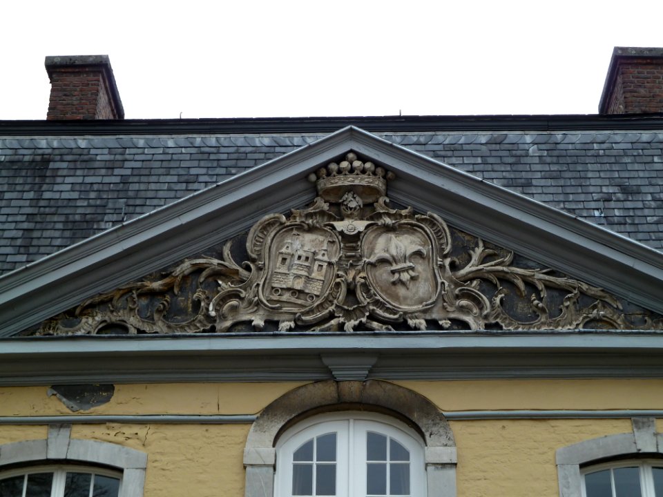
roof
collection drawings and prints from het utrechts archief
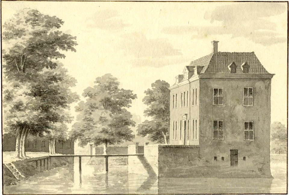
huis te vliet (lopik)
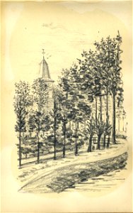
collection drawings and prints from het utrechts archief
walenburg
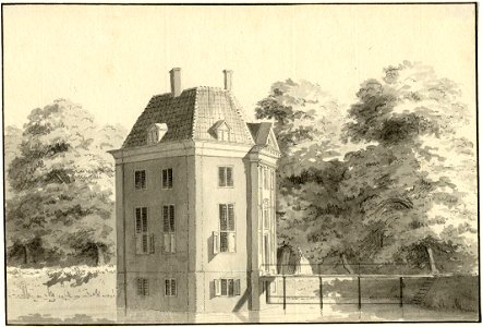
collection drawings and prints from het utrechts archief
huis te vliet (lopik)
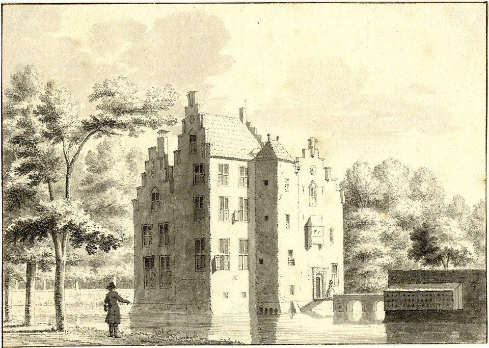
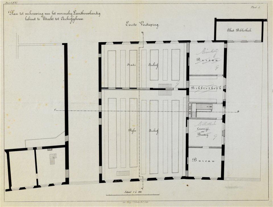
collection drawings and prints from het utrechts archief
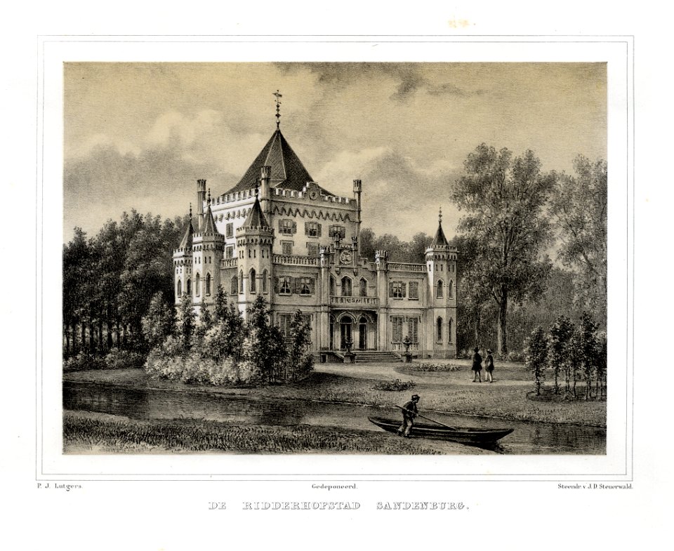
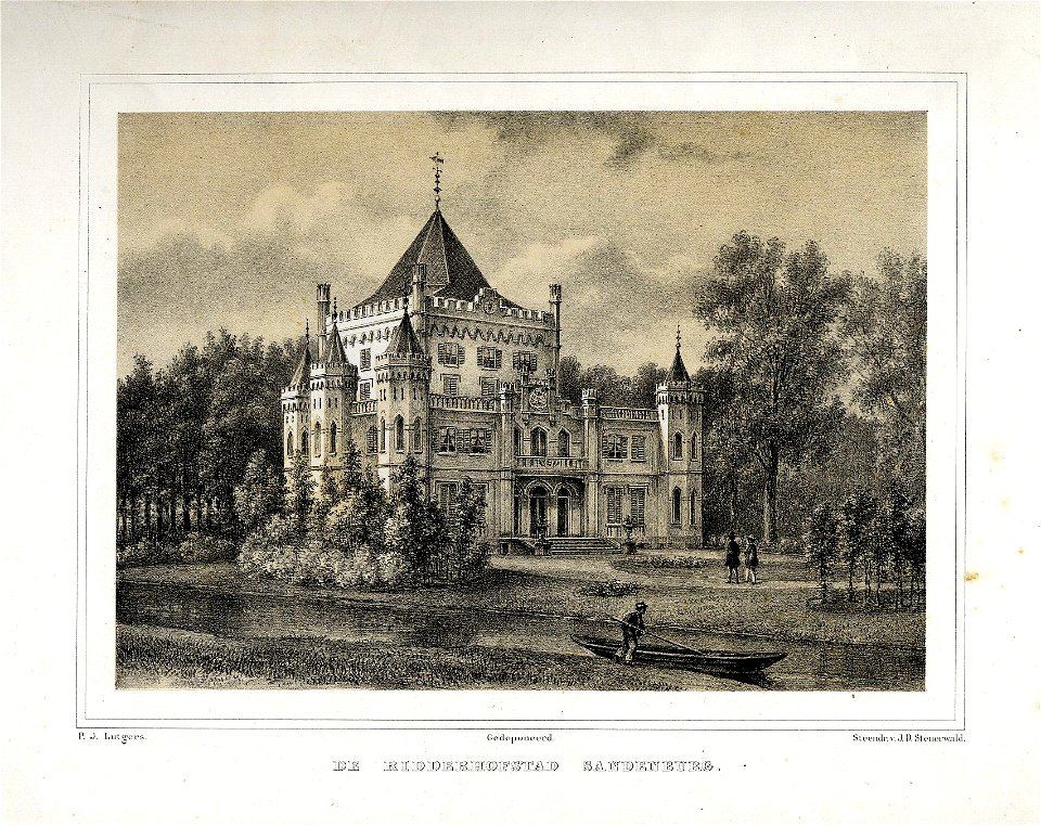
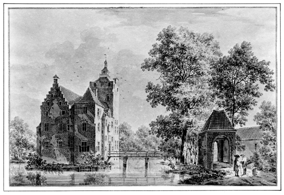
sandenburg castle
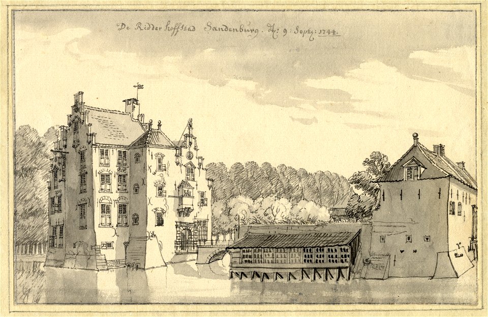
collection drawings and prints from het utrechts archief
sandenburg castle
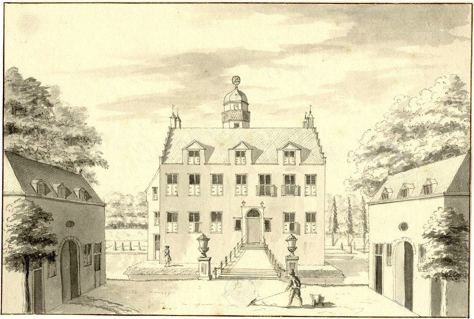
collection drawings and prints from het utrechts archief
zuilenburg
collection drawings and prints from het utrechts archief
farms in utrecht (province)
collection drawings and prints from het utrechts archief
huis te vliet (lopik)
collection drawings and prints from het utrechts archief
zuilenburg
collection drawings and prints from het utrechts archief
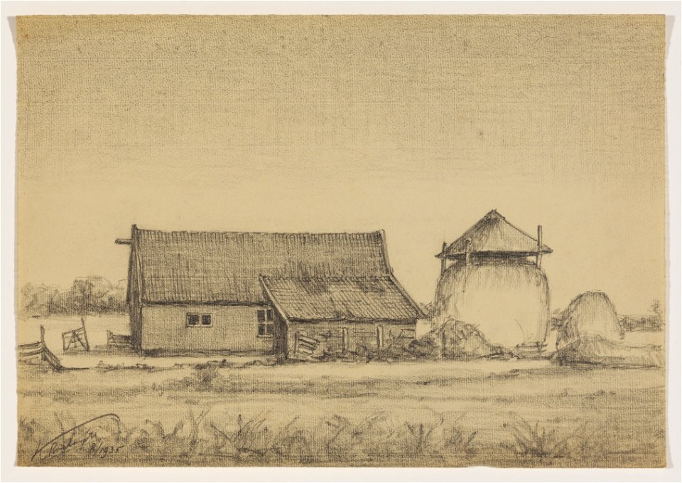
collection drawings and prints from het utrechts archief
anthony everhardus grolman
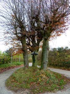
grass
tree
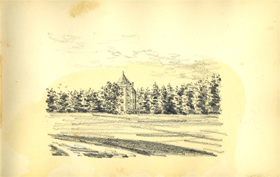
pages with maps
cc-zero
village
tree
architecture
village
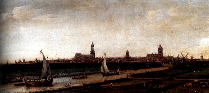
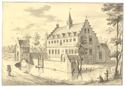
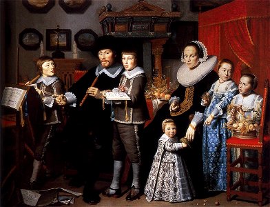
17th-century oil on canvas paintings in the netherlands
delft
collection drawings and prints from het utrechts archief
sandenburg castle
collection drawings and prints from het utrechts archief
sandenburg castle
collection drawings and prints from het utrechts archief
walenburg
collection drawings and prints from het utrechts archief
pages with maps
cc-zero
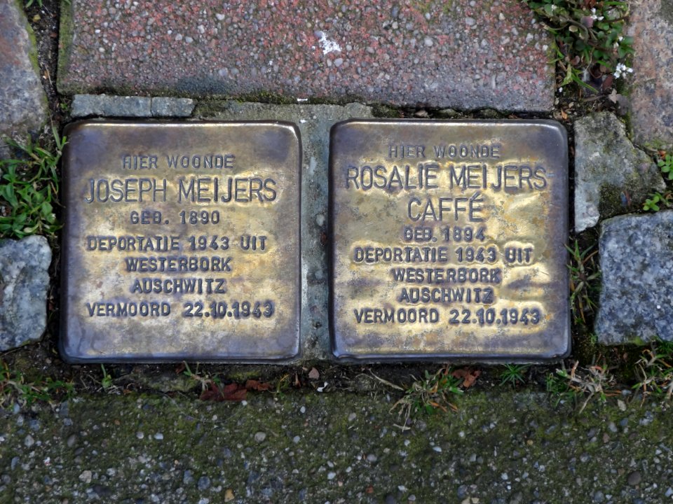
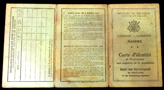
self-published work
metal
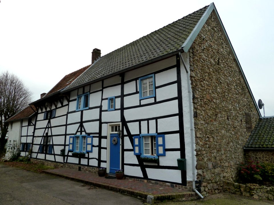
pages with maps
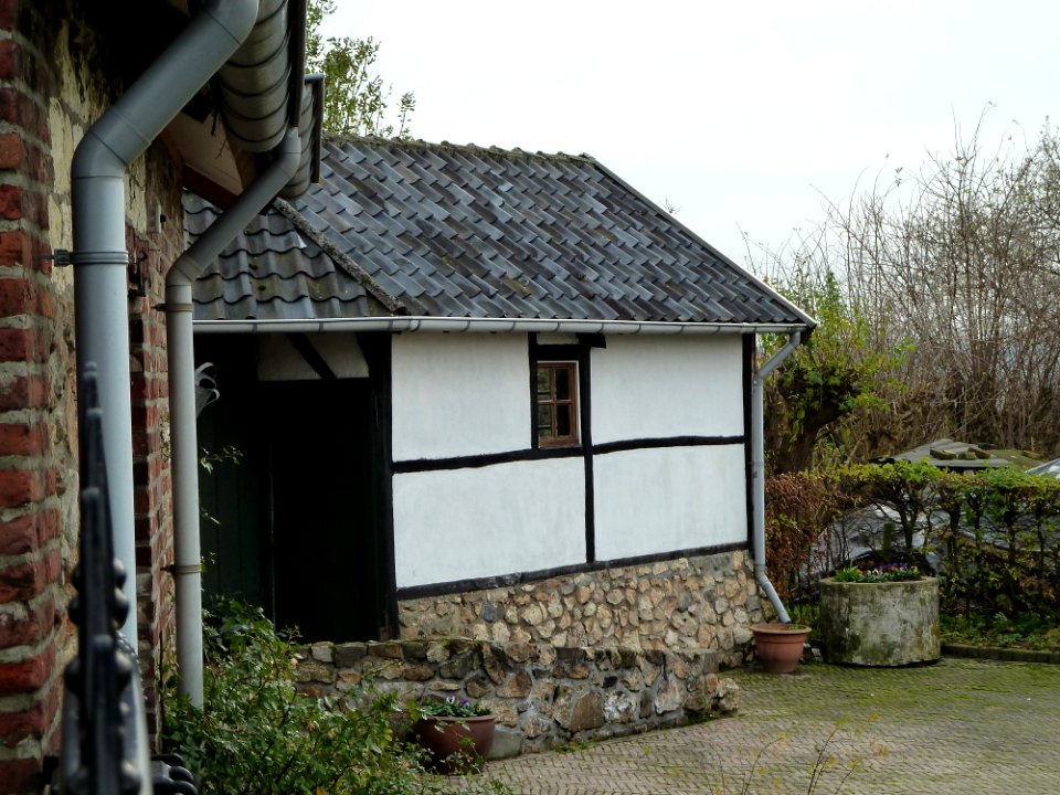
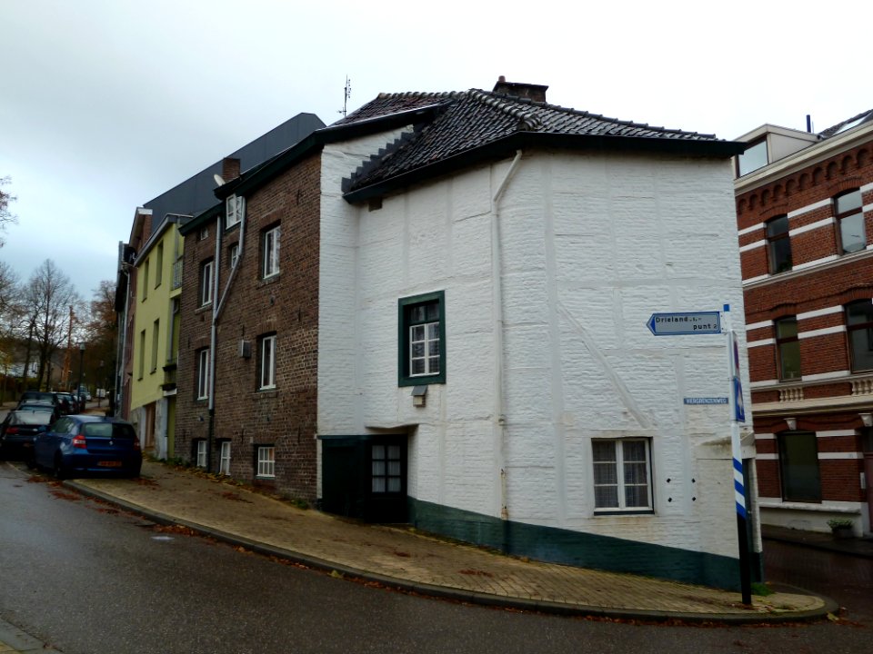
village
architecture
roof
pages with maps
cc-zero
village
roof
architecture
grass
architecture
village
season
tree
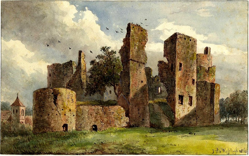
collection drawings and prints from het utrechts archief
collection drawings and prints from het utrechts archief
rhodesteijn (langbroek)
collection drawings and prints from het utrechts archief
huis rijpickerwaard
collection drawings and prints from het utrechts archief
collection drawings and prints from het utrechts archief
huis rijpickerwaard
collection drawings and prints from het utrechts archief
walenburg
collection drawings and prints from het utrechts archief
collection drawings and prints from het utrechts archief
walenburg
collection drawings and prints from het utrechts archief
collection drawings and prints from het utrechts archief
collection drawings and prints from het utrechts archief
architecture
village
pages with maps
village
pages with maps
architecture
architecture
village
village
roof
village
roof
self-published work
letter
pages with maps
tree
village
roof
grass
rural
gemeente musea
delft
17th-century oil paintings in the netherlands
delft
collection drawings and prints from het utrechts archief
groenestein (langbroek)
collection drawings and prints from het utrechts archief
huis rijpickerwaard
collection drawings and prints from het utrechts archief
collection drawings and prints from het utrechts archief
collection drawings and prints from het utrechts archief
collection drawings and prints from het utrechts archief
collection drawings and prints from het utrechts archief
forts in the netherlands
collection drawings and prints from het utrechts archief
kasteel schalkwijk
utrecht
drift
collection drawings and prints from het utrechts archief
huis te voorn
collection drawings and prints from het utrechts archief
farms in utrecht (province)
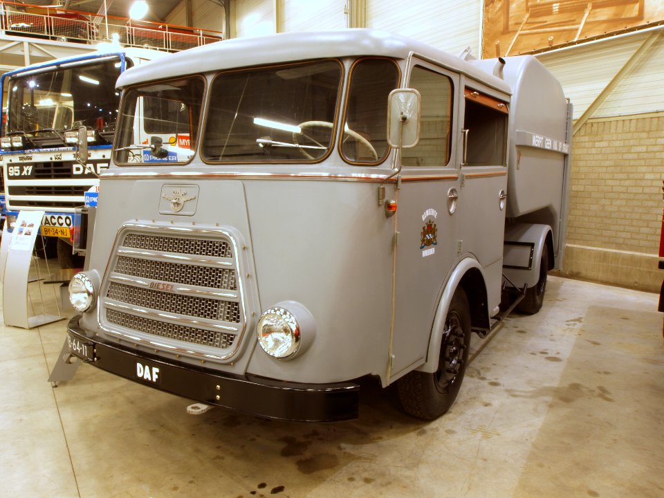
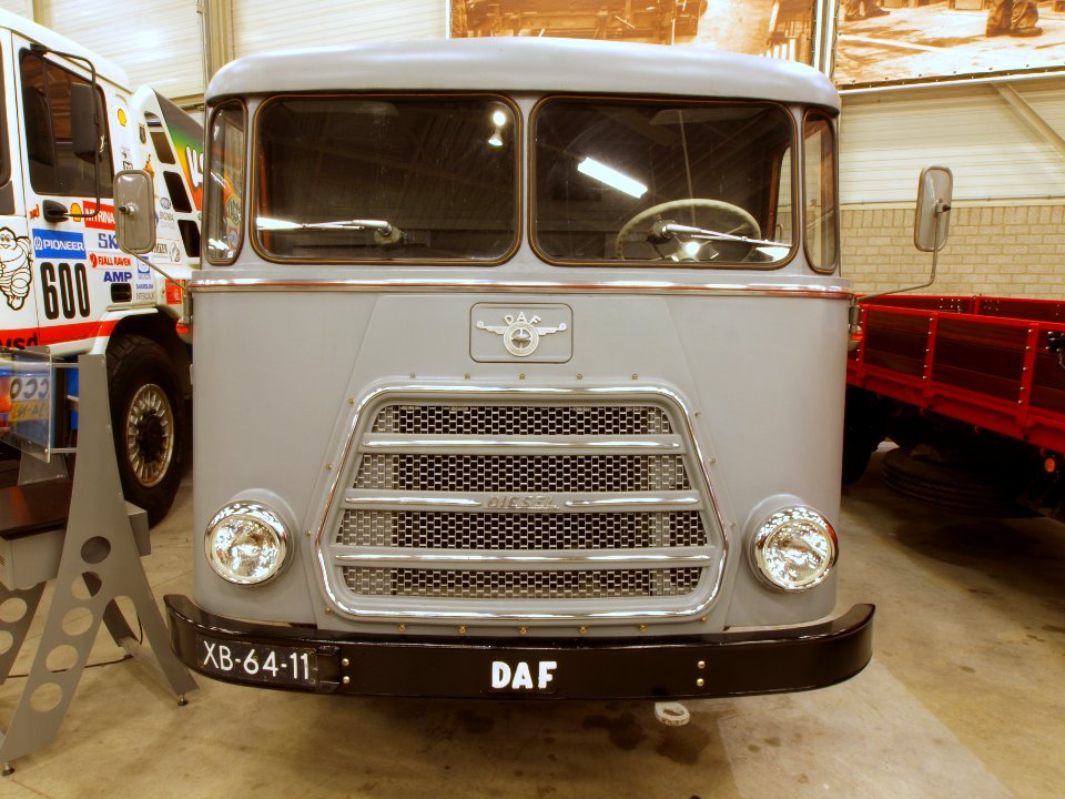
vehicle
cc-zero
architecture
village
water
grass
village
rural
pages with maps
cc-zero
collection drawings and prints from het utrechts archief
collection drawings and prints from het utrechts archief
collection drawings and prints from het utrechts archief
huis te vliet (lopik)
collection drawings and prints from het utrechts archief
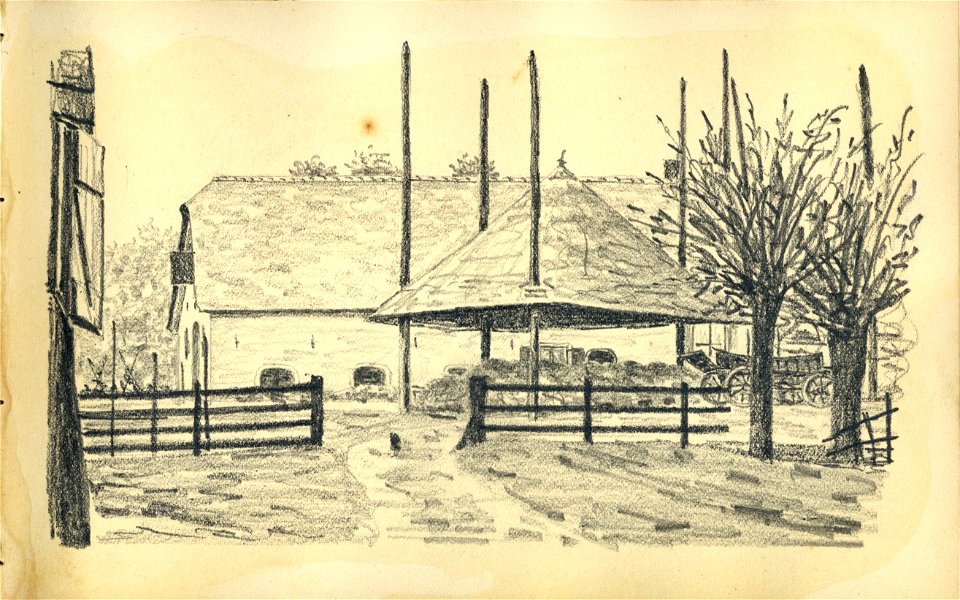
farms in utrecht (province)
collection drawings and prints from het utrechts archief
farms in utrecht (province)
collection drawings and prints from het utrechts archief
water towers in the netherlands
collection drawings and prints from het utrechts archief
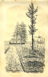
windmills in the netherlands
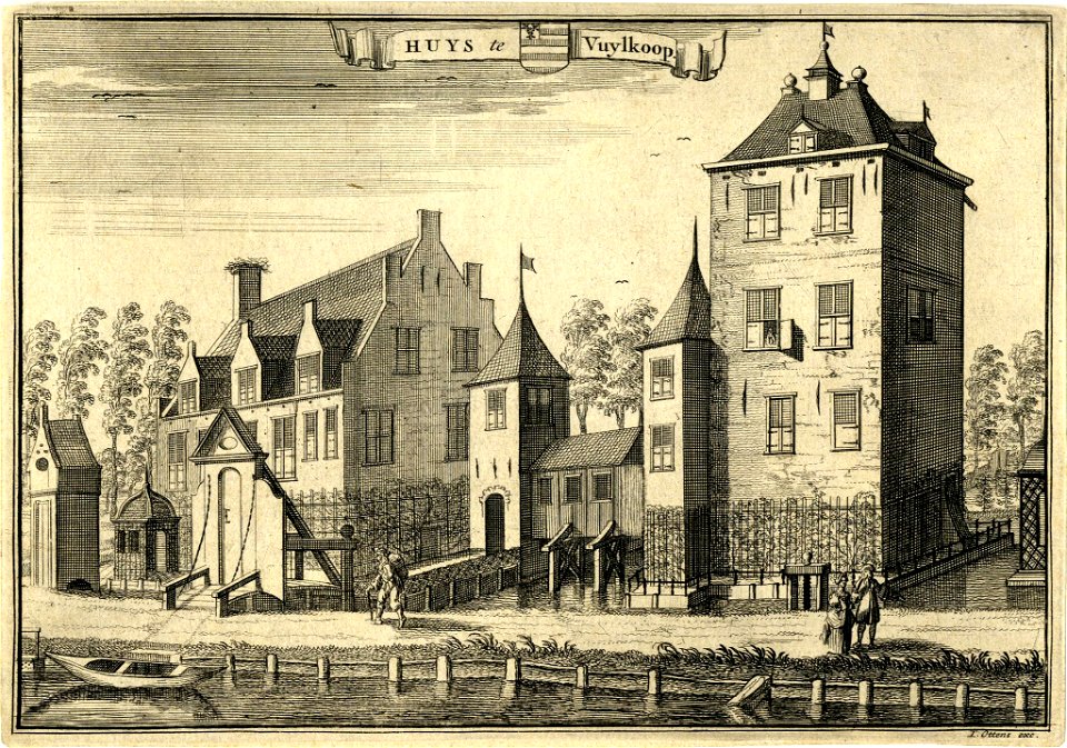
collection drawings and prints from het utrechts archief
huis vuilkoop
collection drawings and prints from het utrechts archief
anthony everhardus grolman
collection drawings and prints from het utrechts archief
huis vuilkoop
grass
lawn
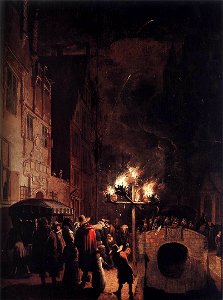
pd us expired
anonymous-eu
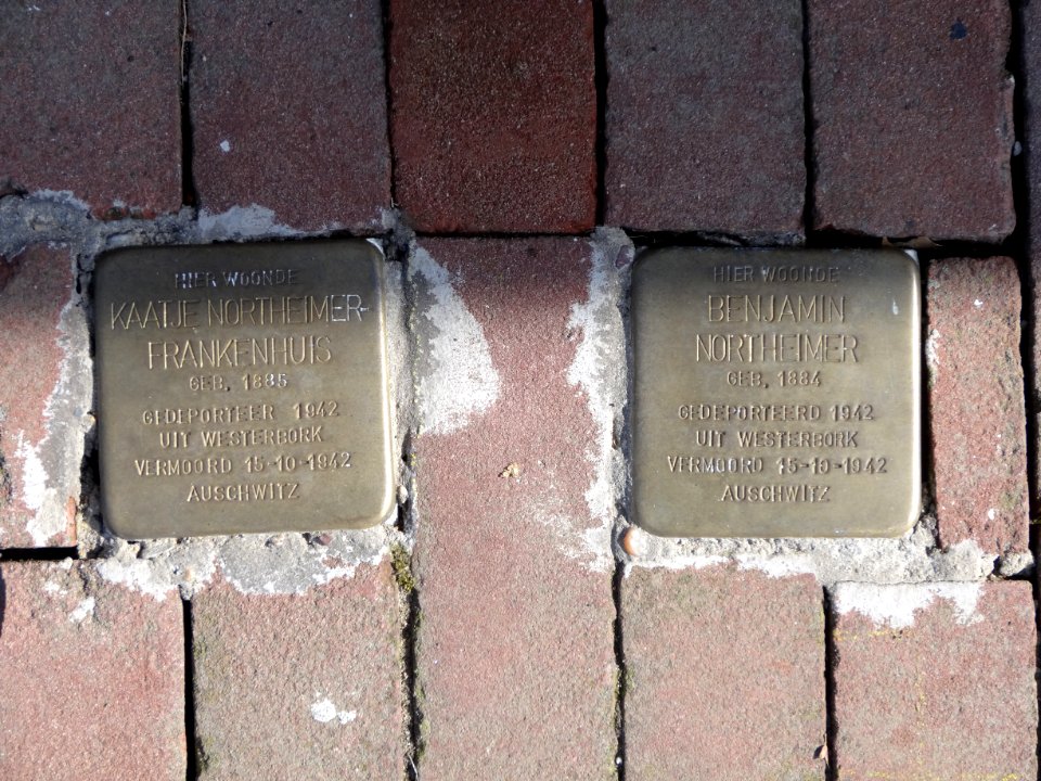
pavement
letter
vehicle
cc-zero
collection drawings and prints from het utrechts archief
collection drawings and prints from het utrechts archief
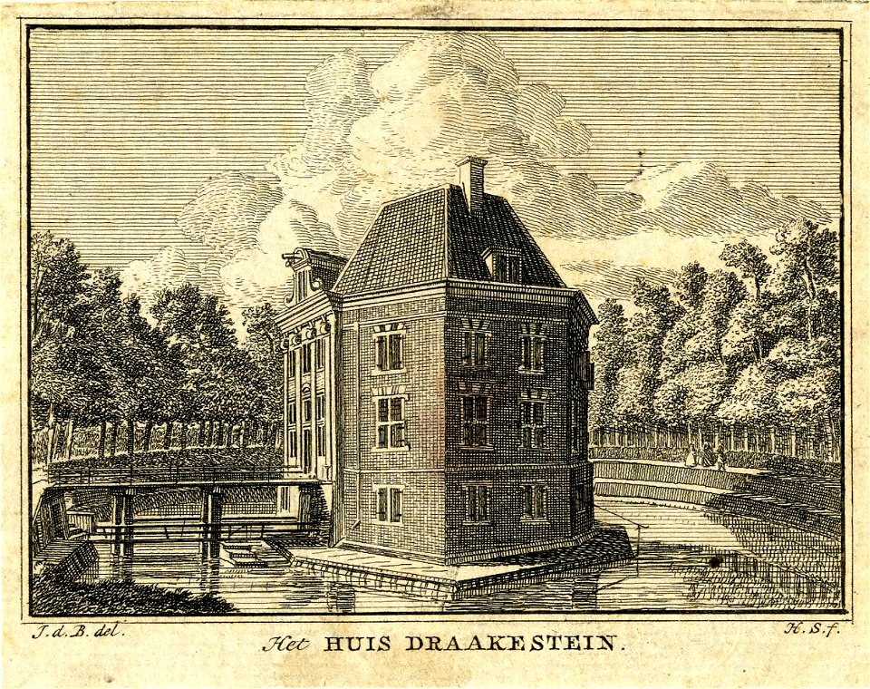
kasteel hardenbroek
collection drawings and prints from het utrechts archief
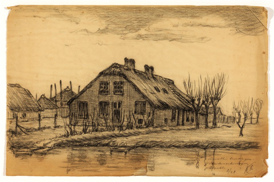
farms in utrecht (province)
collection drawings and prints from het utrechts archief
sandenburg castle
pages with maps
village
architecture
rural
pages with maps
roof
architecture
roof
pd us expired
anonymous-eu
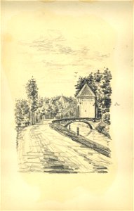
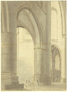
drawings by pieter jansz. saenredam in the beeldcollectie van de gemeente haarlem
interior of grote or sint-bavokerk (haarlem) by pieter jansz. saenredam
collection drawings and prints from het utrechts archief
huis vuilkoop
collection drawings and prints from het utrechts archief
den ham (vleuten)
collection drawings and prints from het utrechts archief
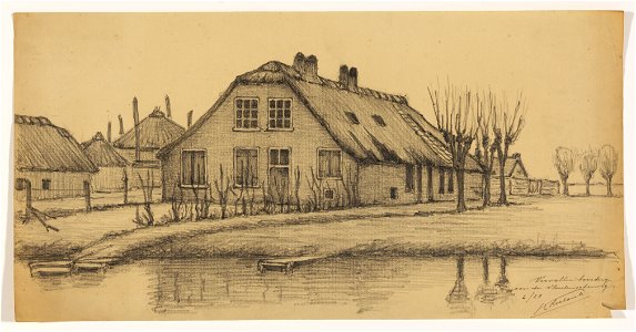
farms in utrecht (province)
collection drawings and prints from het utrechts archief
huis vuilkoop
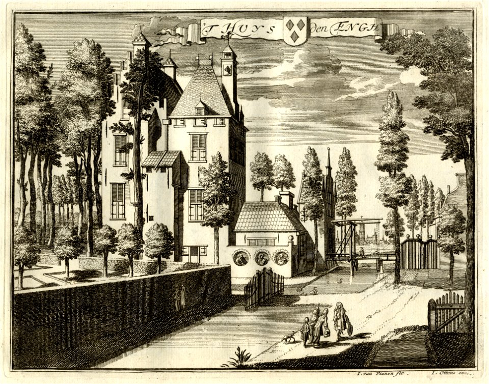
collection drawings and prints from het utrechts archief
huis den engh
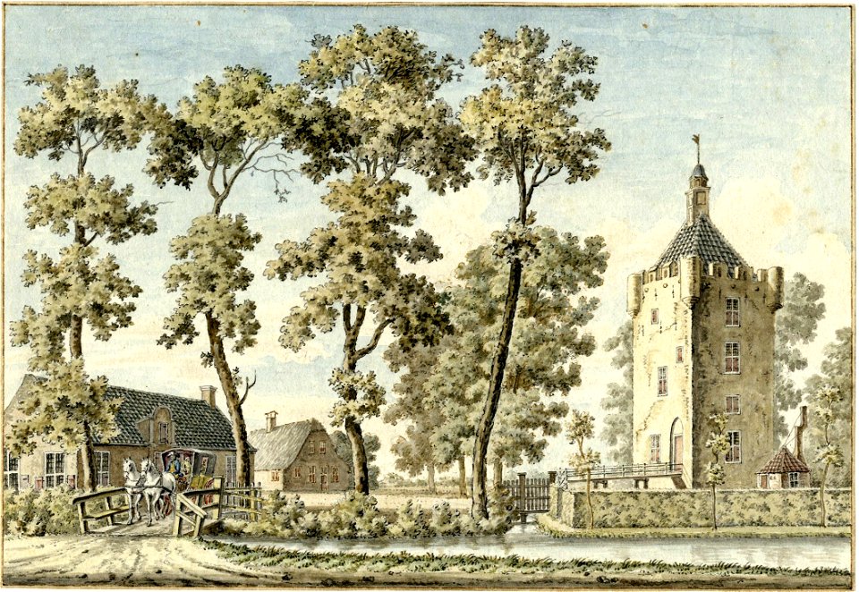
collection drawings and prints from het utrechts archief
huis te vleuten
collection drawings and prints from het utrechts archief
history of kasteel de haar
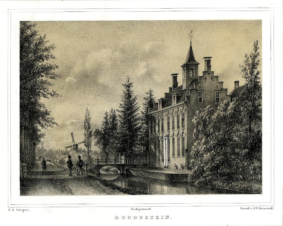
collection drawings and prints from het utrechts archief
rhodesteijn (langbroek)
301 - 400 of 7,183
Next page
/ 72