Log in
All resources
Create a design
3,579 Free Images of Chart
river
roads
sand
cape
harbour
headland
shoal
the port
s bay
maps in the library of congress
popular science monthly illustrations/volume 16
wind rose
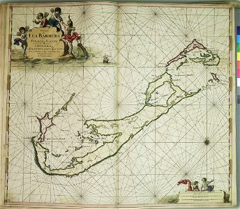
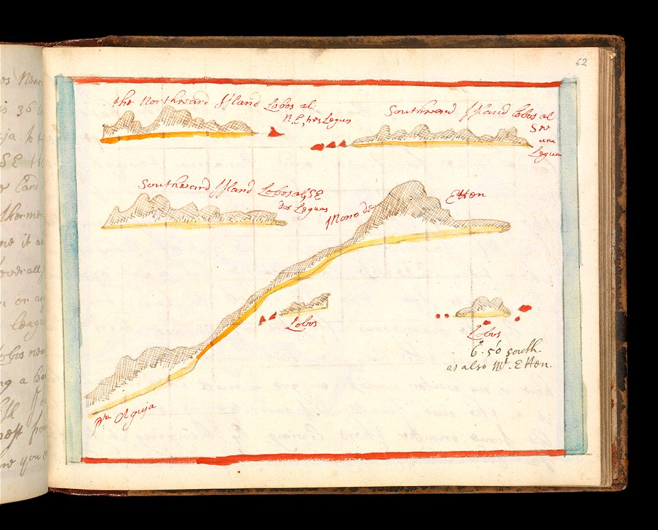
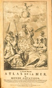
charts and maps of the royal museums greenwich
maps composed of gores
charts and maps of the royal museums greenwich
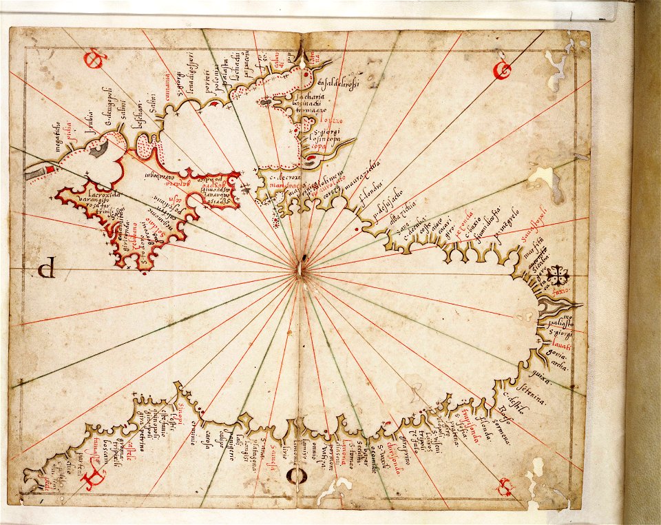
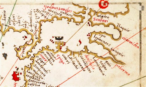
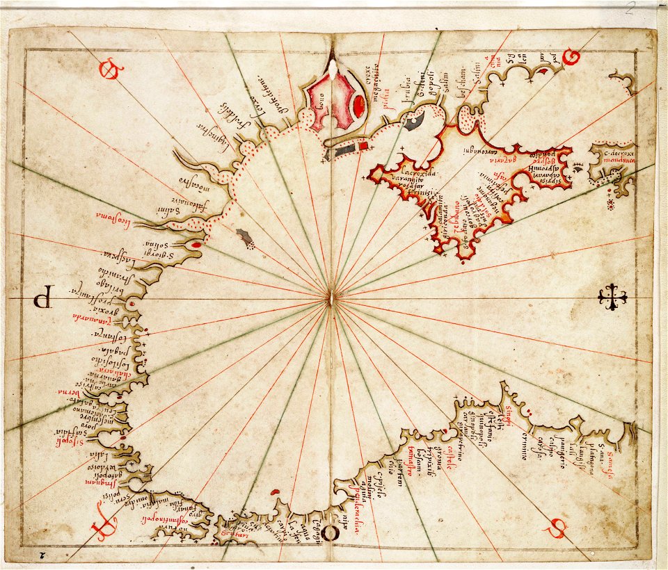
old maps of the aegean sea
charts and maps of the royal museums greenwich
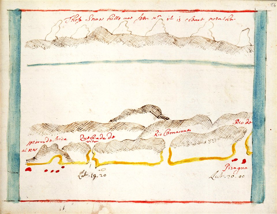
pisagua
charts and maps of the royal museums greenwich
charts and maps of the royal museums greenwich
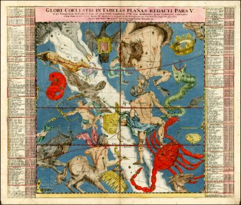
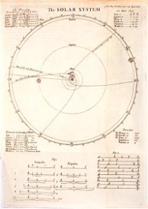
old celestial maps
andreas cellarius
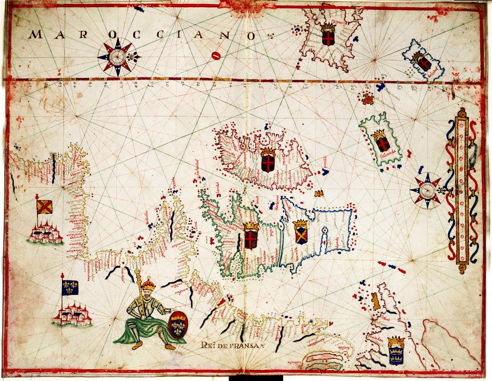
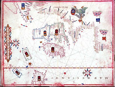
portolan charts
1575
geographic comparison diagrams
hippolyte malègue
trade unionism in the united states
locomotive firemen
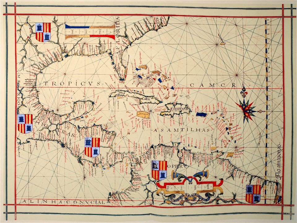
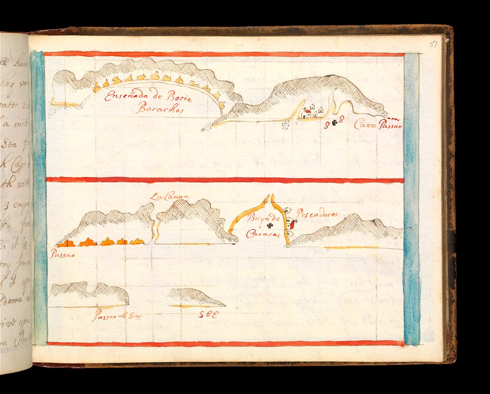
1790s maps of the caribbean
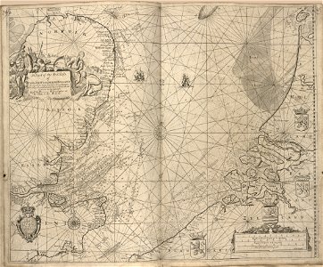
1797 maps
charts and maps of the royal museums greenwich
1682 maps
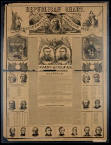
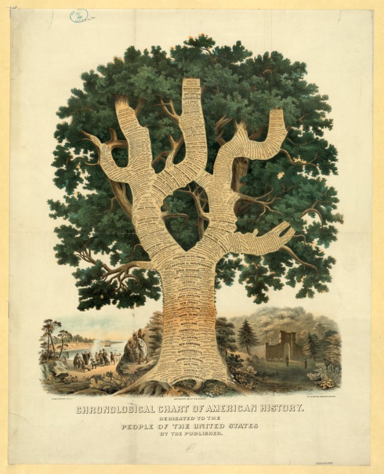
ulysses s. grant presidential campaign
1868
popular science monthly illustrations/volume 4
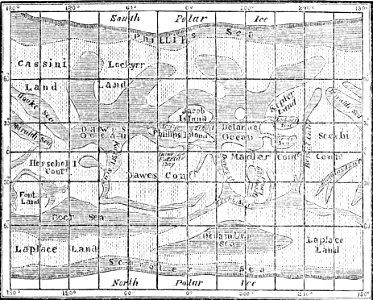
old maps of mars
popular science monthly illustrations/volume 18
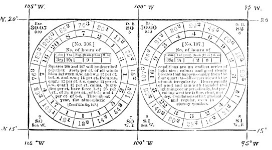
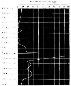
wind diagrams
popular science monthly illustrations/volume 36
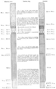
bread industry
technology
business
self-published work
geometric
charts and maps of the royal museums greenwich
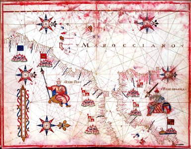
maps by oliva family
charts and maps of the royal museums greenwich
flags of the dutch east india company
tobias conrad lotter
charts and maps of the royal museums greenwich
1682 maps
charts and maps of the royal museums greenwich
1682 maps
charts and maps of the royal museums greenwich
maps by oliva family
timeline
chart
display
screen
chart
bird
usns comfort in new york city (2020)
johann gabriel doppelmayr
old celestial maps
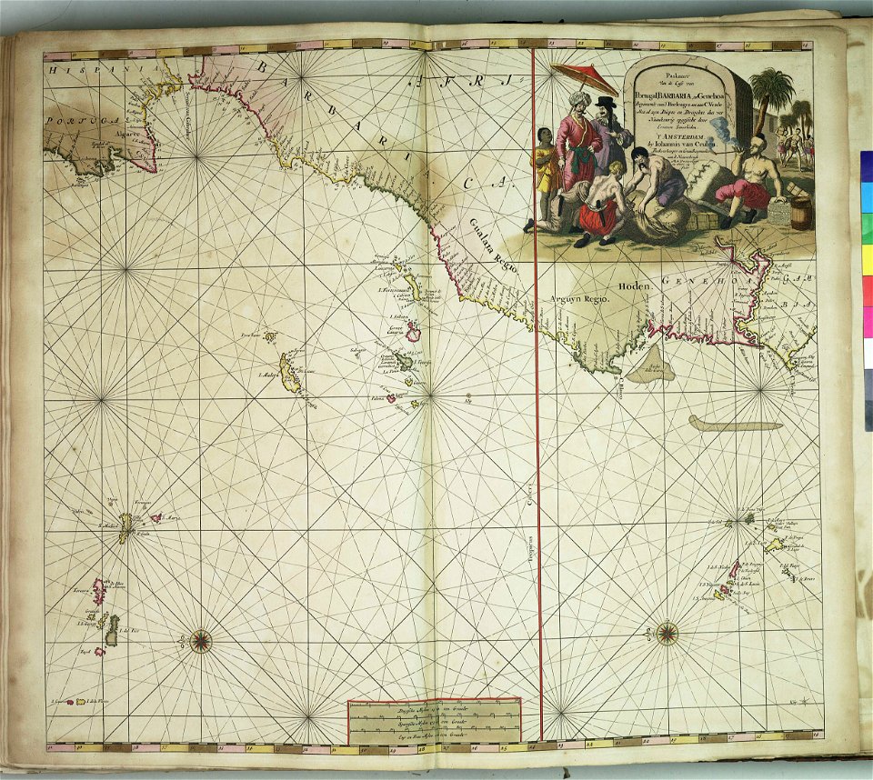
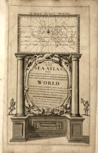
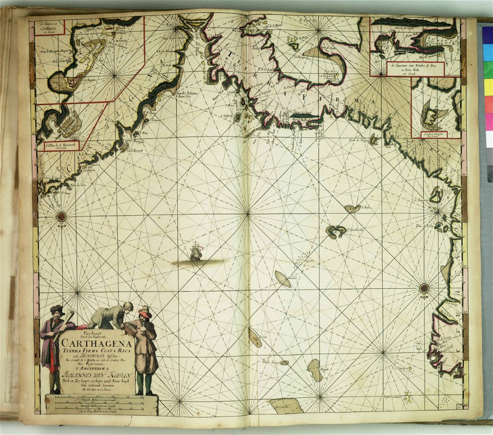
johannes van keulen
nautical chart
geographic comparison diagrams
christian von mechel
charts and maps of the royal museums greenwich
1682 maps
charts and maps of the royal museums greenwich
1682 maps
old celestial maps
comet
charts and maps of the royal museums greenwich
charts and maps of the royal museums greenwich
1572 maps
tree
body
operation enduring freedom
uss momsen (ddg-92)
businessman
chart
symbol
ball
popular science monthly illustrations/volume 36
bread industry
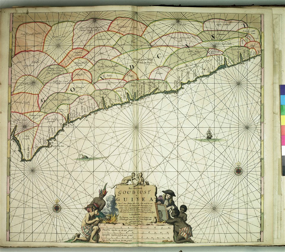
maps by frederick de wit
copper engraving
popular science monthly illustrations/volume 48
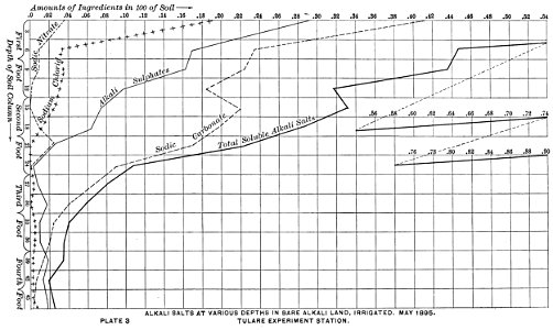
land management
charts and maps of the royal museums greenwich
1682 maps
technology
computer
architecture
decoration
diagrams in english
self-published work
river
roads
river
roads
river
roads
river
roads
river
roads
river
roads
river
roads
river
roads
river
roads
river
roads
river
roads
river
roads
river
roads
river
roads
charts and maps of the royal museums greenwich
jacob le maire
1622
charts and maps of the royal museums greenwich
16th-century maps of the black sea
charts and maps of the royal museums greenwich
maps by oliva family
popular science monthly illustrations/volume 36
bread industry
popular science monthly illustrations/volume 32
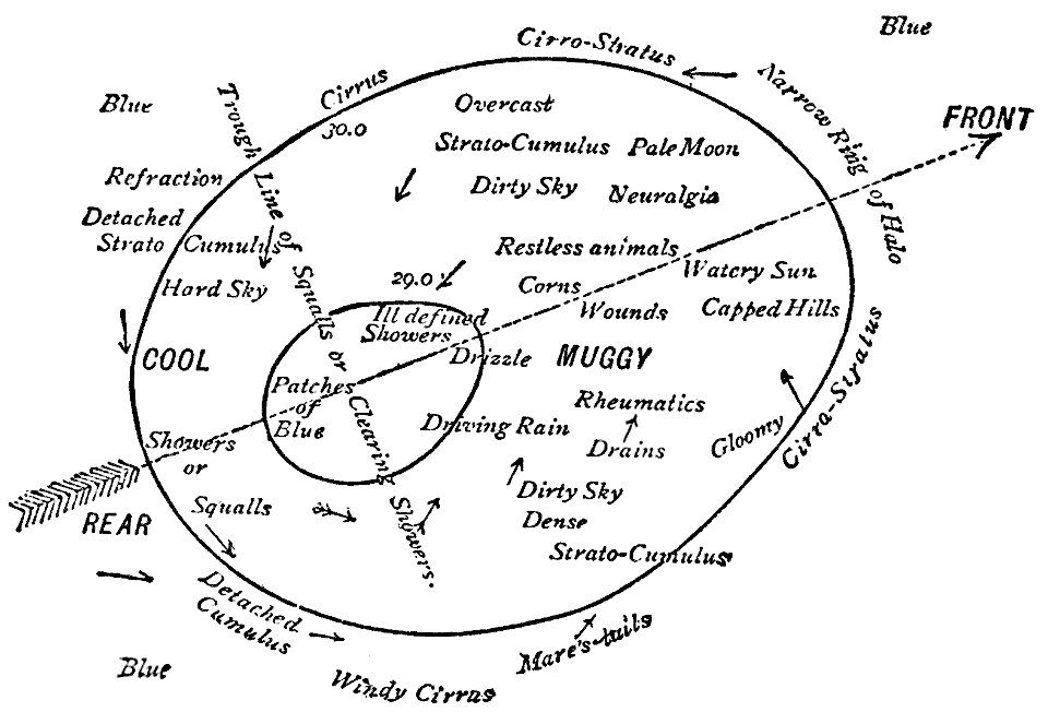
extratropical cyclone theory
charts and maps of the royal museums greenwich
1590s maps of the world
charts and maps of the royal museums greenwich
maps by oliva family
charts and maps of the royal museums greenwich
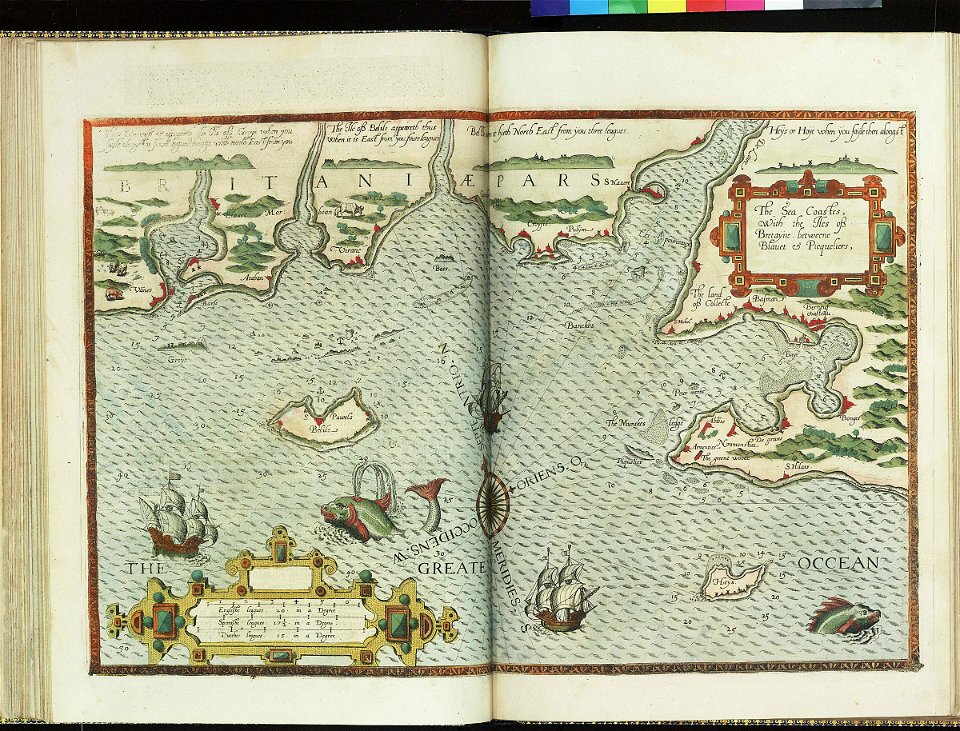
lucas janszoon waghenaer
charts and maps of the royal museums greenwich
lucas janszoon waghenaer
charts and maps of the royal museums greenwich
maps of the sea of marmara
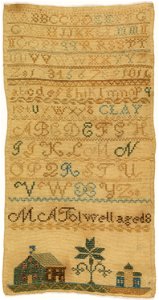
latin alphabet charts
embroidered objects
charts and maps of the royal museums greenwich
16th-century maps of the black sea
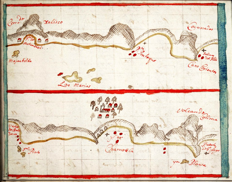
old maps of mexico
jalisco
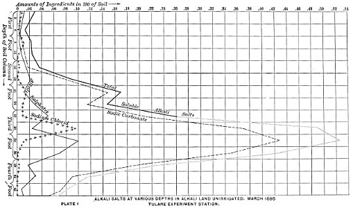
popular science monthly illustrations/volume 48
land management
face
man
river
roads
river
roads
river
roads
river
roads
river
roads
river
roads
river
roads
river
roads
river
roads
river
roads
river
roads
river
roads
river
roads
river
roads
river
roads
river
roads
river
roads
river
roads
river
roads
river
roads
media needing categories as of 11 may 2019
history of the united states in art
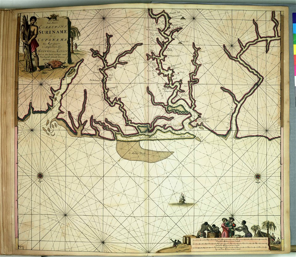
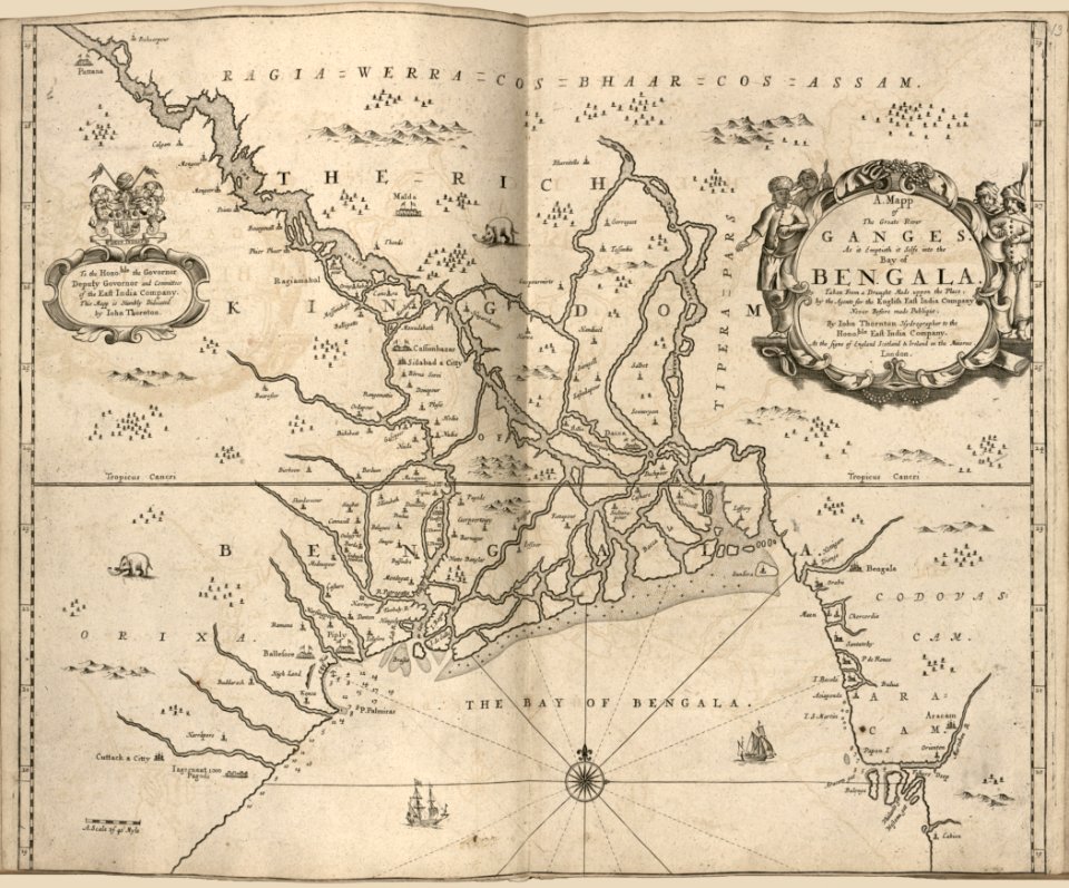
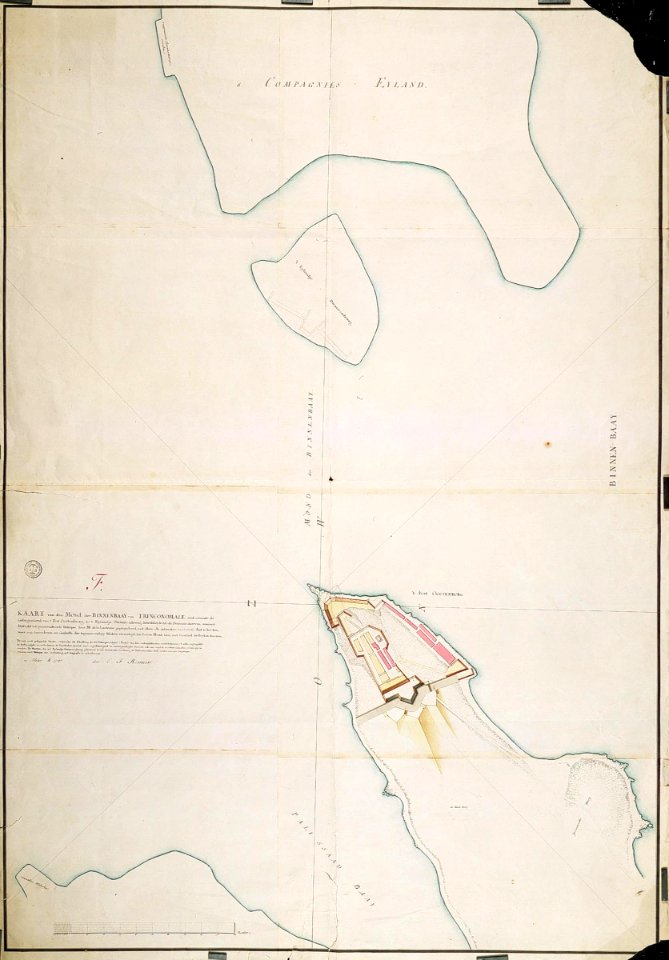
maps of the dutch east india company - sri lanka
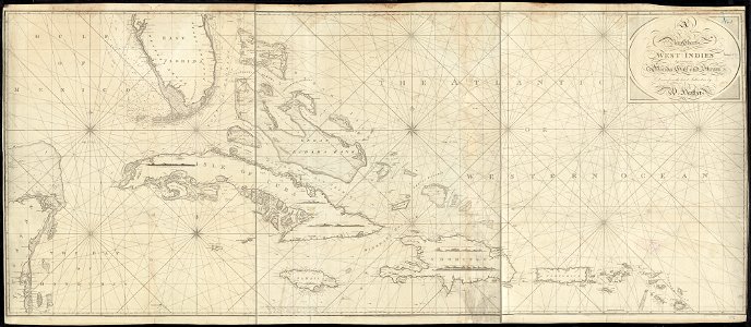
1787 maps
801 - 900 of 3,579
Next page
/ 36