Log in
All resources
Create a design
3,579 Free Images of Chart
maps in the rijksmuseum amsterdam
maps by gerard valck
gerard valck
17th-century celestial maps
18th-century celestial maps
prints published by pieter schenk (i)
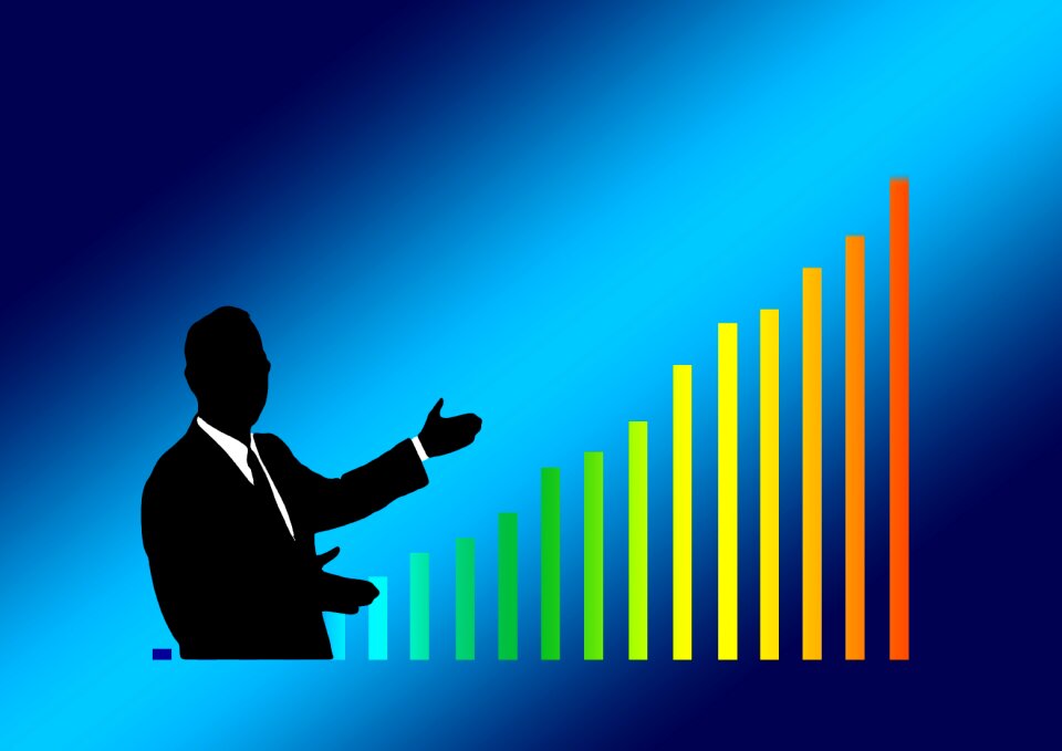
business
statistics
symbol
graphics
prints by claes jansz. visscher (ii) in the rijksmuseum amsterdam
maps in the rijksmuseum amsterdam
lieutenant-admiral michiel de ruyter (1667, national maritime museum)
prinsenvlag in paintings
analysis
firm
woman
man
chart
bar
baroque painting
animals on maps
business
human
lithographs in the rijksmuseum amsterdam
arie cornelis kruseman
lithographs in the rijksmuseum amsterdam
arie cornelis kruseman
black globe icons
svg globe icons
self-published work
svg cake icons
maps in the rijksmuseum amsterdam
17th-century celestial maps
svg icons from the noun project
svg chart and graph icons
svg retouched pictures from raster
svg chart and graph icons
maps in the rijksmuseum amsterdam
17th-century celestial maps
satirical prints in the british museum
romanticism
maps in the rijksmuseum amsterdam
johannes de broen
collections of maison de balzac
camille de montalivet
overwintering on nova zembla by willem barentsz, 1596-1597
etchings in the rijksmuseum amsterdam
professions
building
drawings in musée carnavalet
armand gautier
drawings in musée carnavalet
armand gautier
maps in the rijksmuseum amsterdam
17th-century celestial maps
maps in the rijksmuseum amsterdam
17th-century celestial maps
collections of maison de balzac
auguste desperet
arrow
woman
maps in the rijksmuseum amsterdam
17th-century celestial maps
maps in the rijksmuseum amsterdam
17th-century celestial maps
maps in the rijksmuseum amsterdam
17th-century celestial maps
maps in the rijksmuseum amsterdam
17th-century celestial maps
brochure
draft
maps in the rijksmuseum amsterdam
17th-century celestial maps
maps in the rijksmuseum amsterdam
maps by willem and johannes blaeu
streets
traffic
prints of cartouches in the rijksmuseum amsterdam
armada tapestries
business
arrow
openseamap icons
pd textlogo
18th-century maps of greenland
old maps of the arctic
19th-century portrait paintings of men, artist and year missing
john ross (1777-1856)
maps in the rijksmuseum amsterdam
17th-century celestial maps
maps in the rijksmuseum amsterdam
17th-century celestial maps
infographic
draft
maps in the rijksmuseum amsterdam
17th-century celestial maps
maps in the rijksmuseum amsterdam
17th-century celestial maps
illustration
symbol
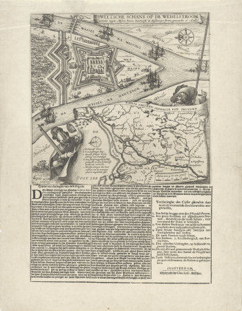
les forces de l'europe, asie, afrique et amerique, ou description des principales villes, avec leurs fortifications
maps of the history of poitou
maps in the rijksmuseum amsterdam
maps by gerard valck
chart
data
photographs of prison saint-lazare in musée carnavalet
science
symbol
les forces de l'europe, asie, afrique et amerique, ou description des principales villes, avec leurs fortifications
portolan charts made in the 18th century
les forces de l'europe, asie, afrique et amerique, ou description des principales villes, avec leurs fortifications
portolan charts made in the 18th century
business
symbol
business
symbol
photographs of prison saint-lazare in musée carnavalet
maps in the rijksmuseum amsterdam
17th-century celestial maps
maps in the rijksmuseum amsterdam
17th-century celestial maps
maps in the rijksmuseum amsterdam
17th-century celestial maps
maps in the rijksmuseum amsterdam
17th-century celestial maps
maps in the rijksmuseum amsterdam
17th-century celestial maps
paintings in the national maritime museum, london
oil paintings of the royal museums greenwich
maps in the rijksmuseum amsterdam
17th-century celestial maps
maps in the rijksmuseum amsterdam
17th-century celestial maps
maps in the rijksmuseum amsterdam
17th-century celestial maps
business
symbol
maps in the rijksmuseum amsterdam
17th-century celestial maps
les forces de l'europe, asie, afrique et amerique, ou description des principales villes, avec leurs fortifications
portolan charts made in the 18th century
les forces de l'europe, asie, afrique et amerique, ou description des principales villes, avec leurs fortifications
portolan charts made in the 18th century
les forces de l'europe, asie, afrique et amerique, ou description des principales villes, avec leurs fortifications
portolan charts made in the 18th century
maps in the rijksmuseum amsterdam
maps by gerard valck
les forces de l'europe, asie, afrique et amerique, ou description des principales villes, avec leurs fortifications
portolan charts made in the 18th century
les forces de l'europe, asie, afrique et amerique, ou description des principales villes, avec leurs fortifications
portolan charts made in the 18th century
les forces de l'europe, asie, afrique et amerique, ou description des principales villes, avec leurs fortifications
portolan charts made in the 18th century
business
control
building
business
prints of coats of arms in the rijksmuseum amsterdam
engravings of boats in the rijksmuseum amsterdam
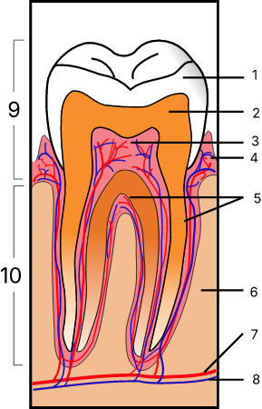
structure
tooth
collections of maison de balzac
symbolism
business
woman
building
business
infographic
draft
tango project/mimetypes
spreadsheet icon
les forces de l'europe, asie, afrique et amerique, ou description des principales villes, avec leurs fortifications
portolan charts made in the 18th century
business
symbol
icons
symbol
computer
clouds
prints by abraham allard in the rijksmuseum amsterdam
spain in the 1720s
building
business
collections of maison de balzac
auguste desperet
business
arrow
business
symbol
1770s maps of alaska
robert de vaugondy
icons
symbol
icons
symbol
icons
symbol
building
business
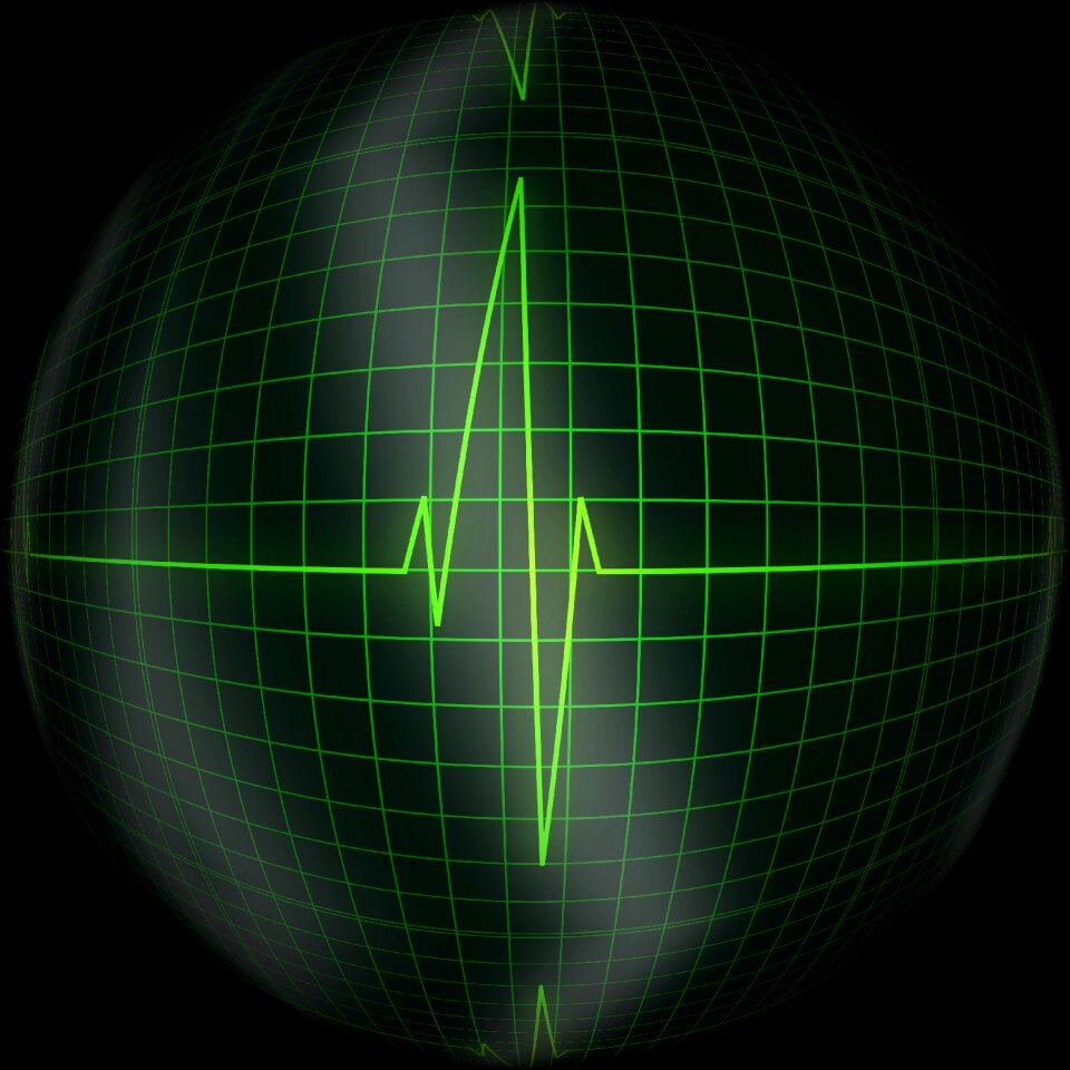
heart
ball
infographic
draft
business
skyline
icons
symbol
3301 - 3400 of 3,579
Next page
/ 36