Log in
All resources
Create a design
3,579 Free Images of Chart
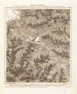
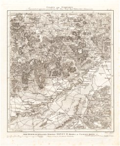
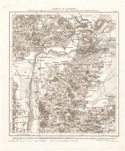
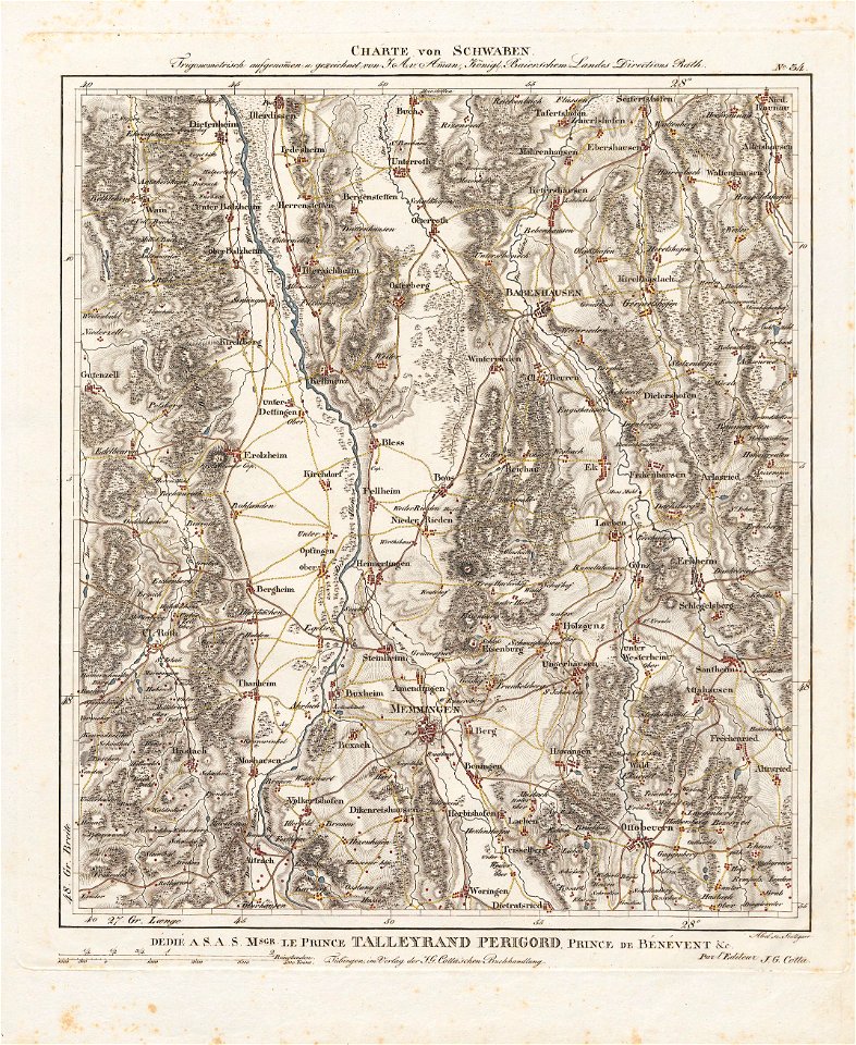
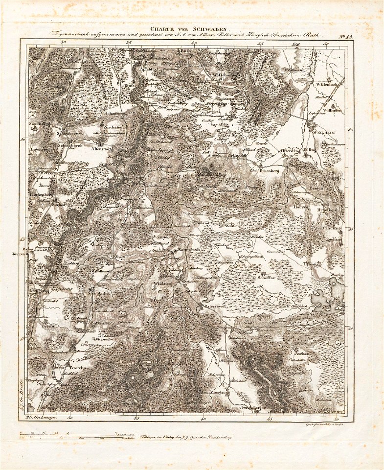
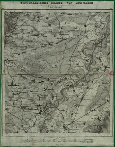
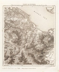
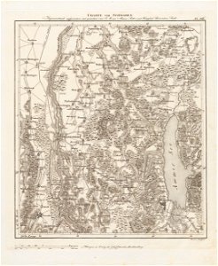
charte von schwaben (bohnenberger)
19th-century maps of bavaria
analysis
cc-zero
business
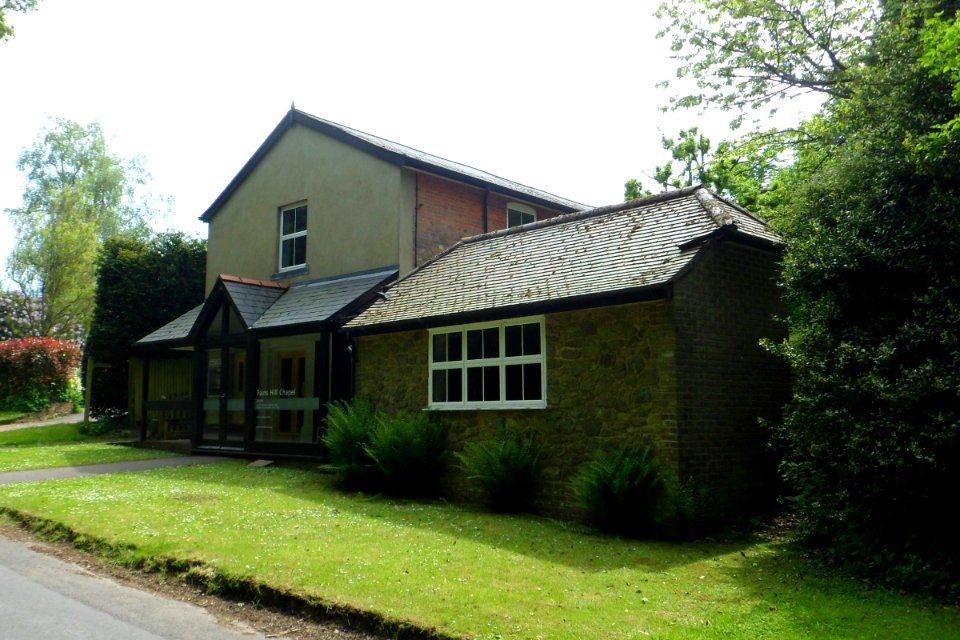
pains hill chapel, limpsfield chart
trade
schmidt
1878 charts
graph
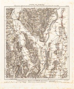
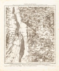
charte von schwaben (bohnenberger)
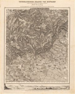
old maps of vorarlberg
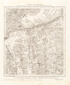
charte von schwaben (bohnenberger)
19th-century maps of bavaria
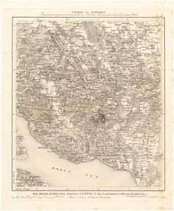
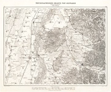
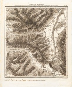
charte von schwaben (bohnenberger)
old maps of switzerland
charte von schwaben (bohnenberger)
19th-century maps of bavaria
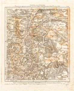
charte von schwaben (bohnenberger)
old maps of lake constance
business
table
background
business
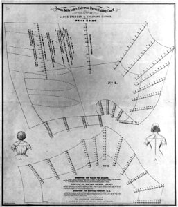
fashion in 1870
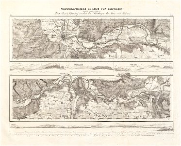
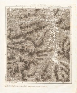
charte von schwaben (bohnenberger)
old maps of bas-rhin
charte von schwaben (bohnenberger)
19th-century maps of bavaria
charte von schwaben (bohnenberger)
19th-century maps of bavaria
fashion in 1870
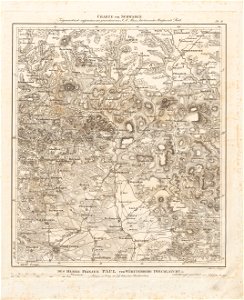
charte von schwaben (bohnenberger)
old maps of bas-rhin
charte von schwaben (bohnenberger)
19th-century maps of bavaria
charte von schwaben (bohnenberger)
19th-century maps of bavaria
charte von schwaben (bohnenberger)
old maps of switzerland
charte von schwaben (bohnenberger)
old maps of freiburg im breisgau
old maps of switzerland
maps of basel
19th-century maps of bavaria
nördlinger ries
old maps of lake constance
reichenau island
sketch
maps
self-published work
cc-zero
charte von schwaben (bohnenberger)
19th-century maps of bavaria
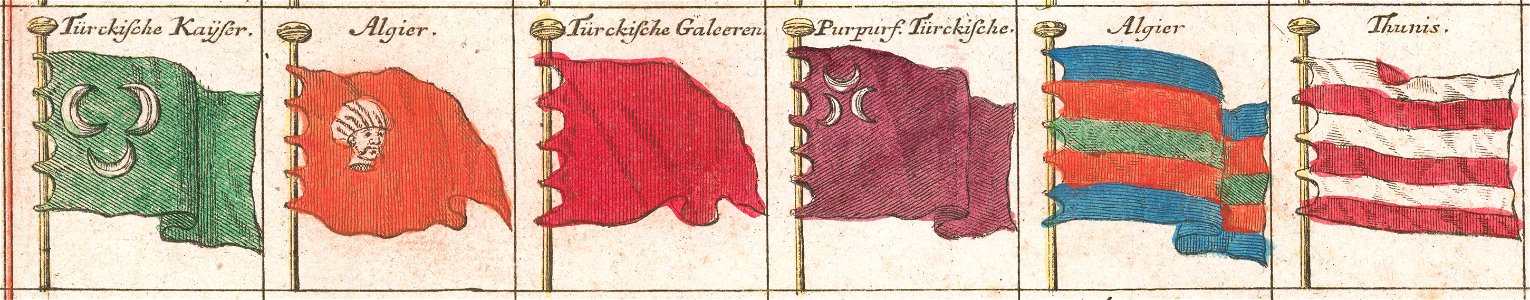
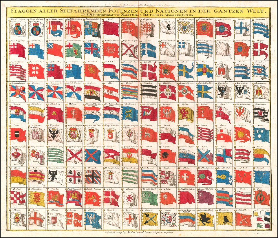
tobias conrad lotter
flag charts
charte von schwaben (bohnenberger)
old maps of the danube
business
money
village
rural
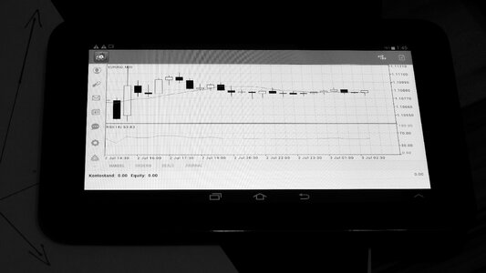
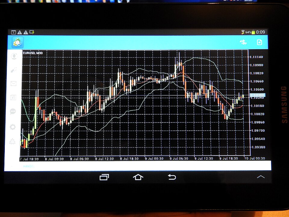
tablet
chart
candlesticks
chart
candlesticks
chart
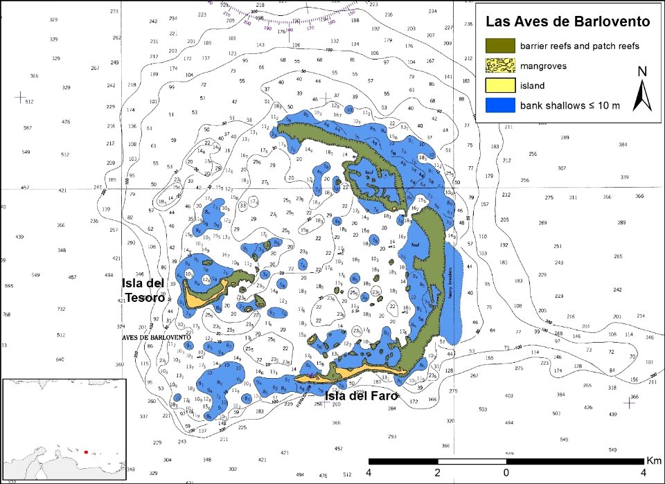
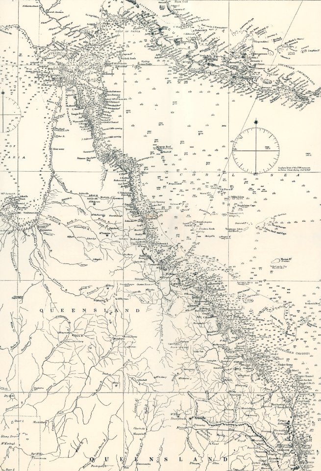
federal dependencies of venezuela
self-published work
cc-zero
popular science monthly illustrations/volume 18
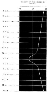
barograms
charte von schwaben (bohnenberger)
1827 engravings
19th-century maps of bavaria
staffelsee
western propaganda in the cold war
self-published work
roof
old maps of rhineland-palatinate
old maps of bas-rhin
village
roof
old maps of lake constance
old maps of switzerland
alpstein
säntis
village
roof
tobias conrad lotter
flag charts
aboard uss nassau (lha-4)
chart room
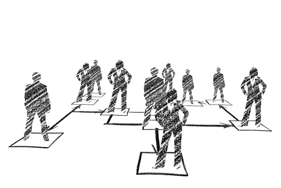
business
school
charte von schwaben (bohnenberger)
19th-century maps of bavaria
charte von schwaben (bohnenberger)
maps of landkreis sigmaringen
charte von schwaben (bohnenberger)
19th-century maps of bavaria
19th-century maps of bavaria
wertach river in augsburg
tablet
chart
candlesticks
chart
present
data
screen
design
presentation
charts
village
lawn
village
lawn
self-published work
cc-zero
medicine
science
business
data
geography of marktoberdorf
kohlhunden
animals
maps
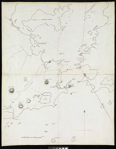
charts and maps of the royal museums greenwich
edward gennys fanshawe
history of lindau (bodensee)
alter rhein
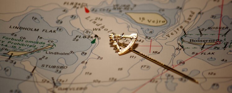
maritime
gold
candlesticks
chart
maps
sea
background
adventure
technology
business
building
business
reading
human
geography of füssen
tannheimer berge
1510s maps of the world
coats of arms on maps
illustration
illustration
astronomy
maps
writer
chart
aboard uss ponce (lpd-15)
business
knot
astronomy
maps
astronomy
maps
vincenzo coronelli
1690s maps
tablet
pc
tablet
pc
cute
blue
bloodletting charts
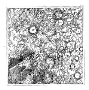
1878 charts
schmidt
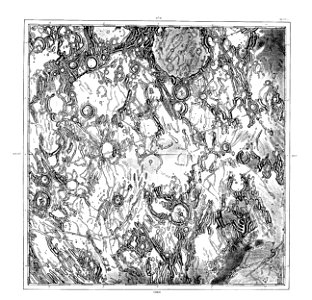
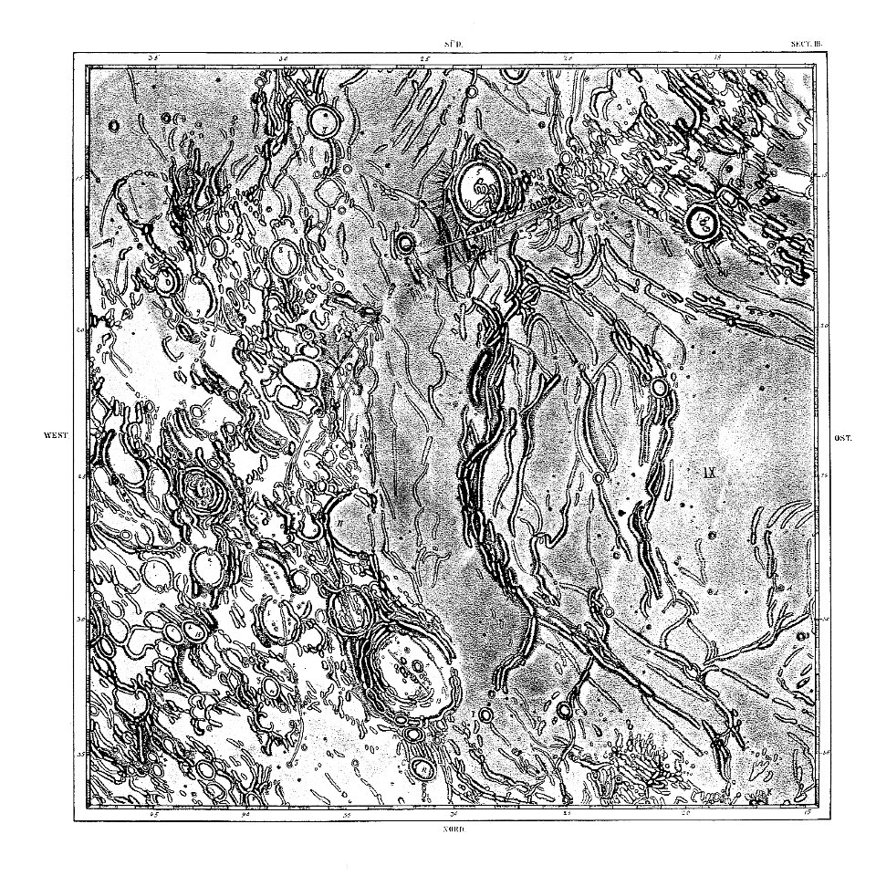
1878 charts
schmidt
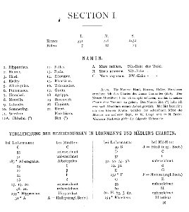
1878 charts
schmidt
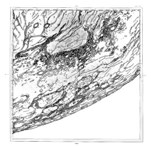
1878 charts
schmidt
1878 charts
schmidt
1878 charts
schmidt
1878 charts
schmidt
1878 charts
schmidt
book illustration
illustration
maritime
compass
us aid ethiopia
maps
man
geographic comparison diagrams
1855 maps
1878 charts
schmidt
201 - 300 of 3,579
Next page
/ 36