Log in
All resources
Create a design
2,590 Free Images of Cartography
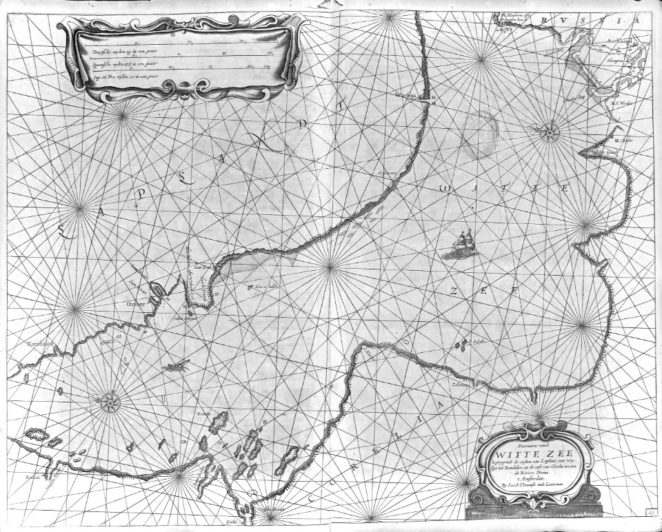
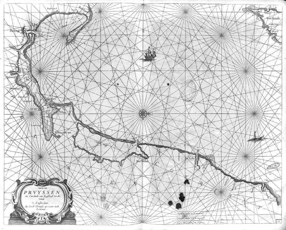
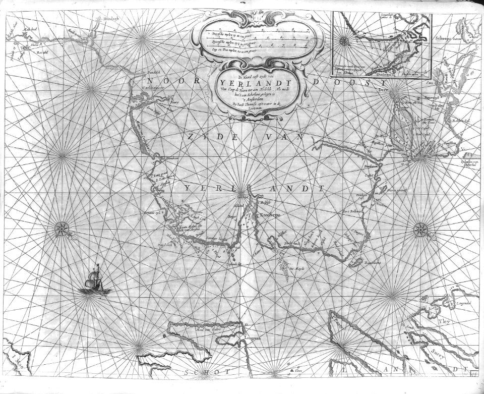
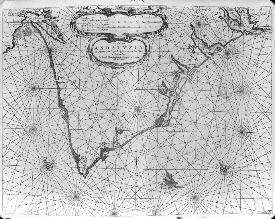
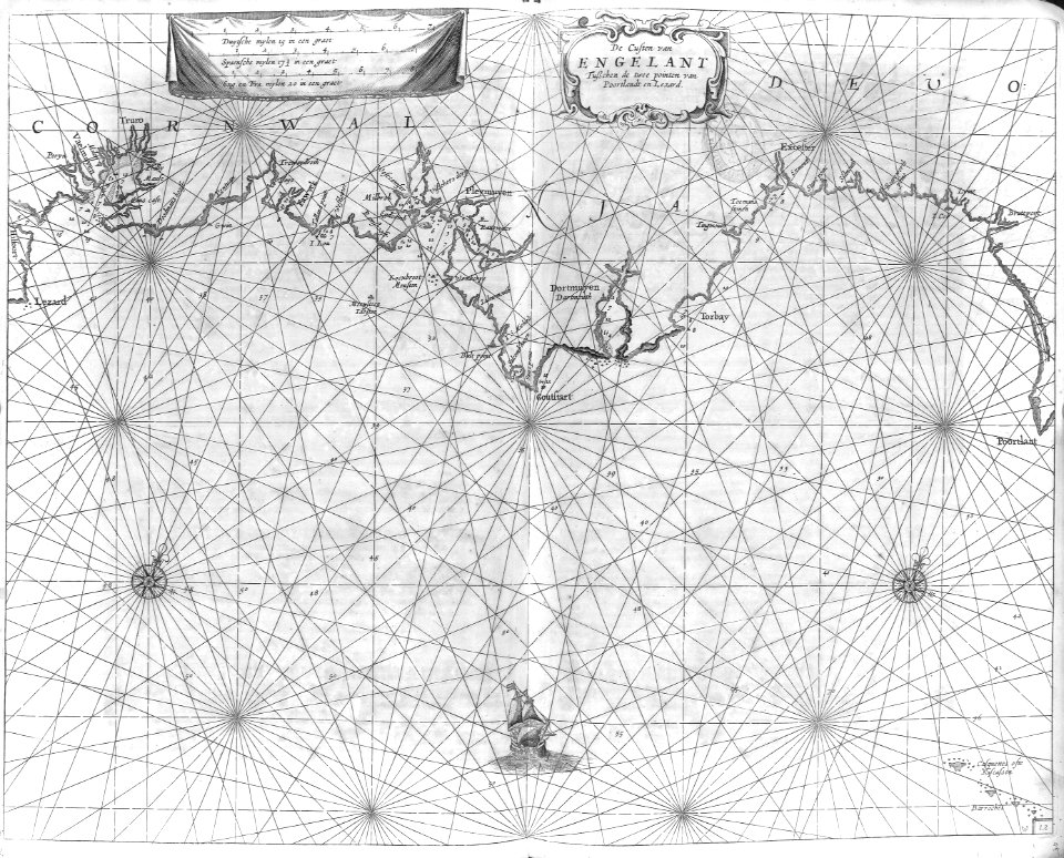
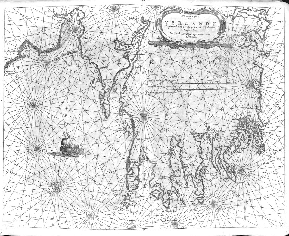
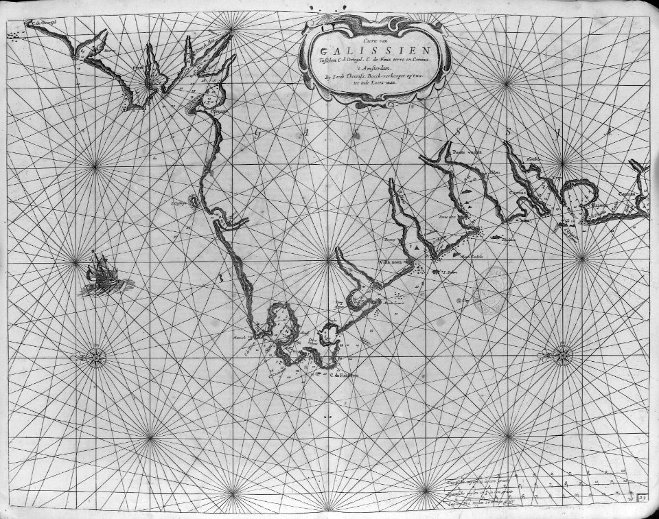
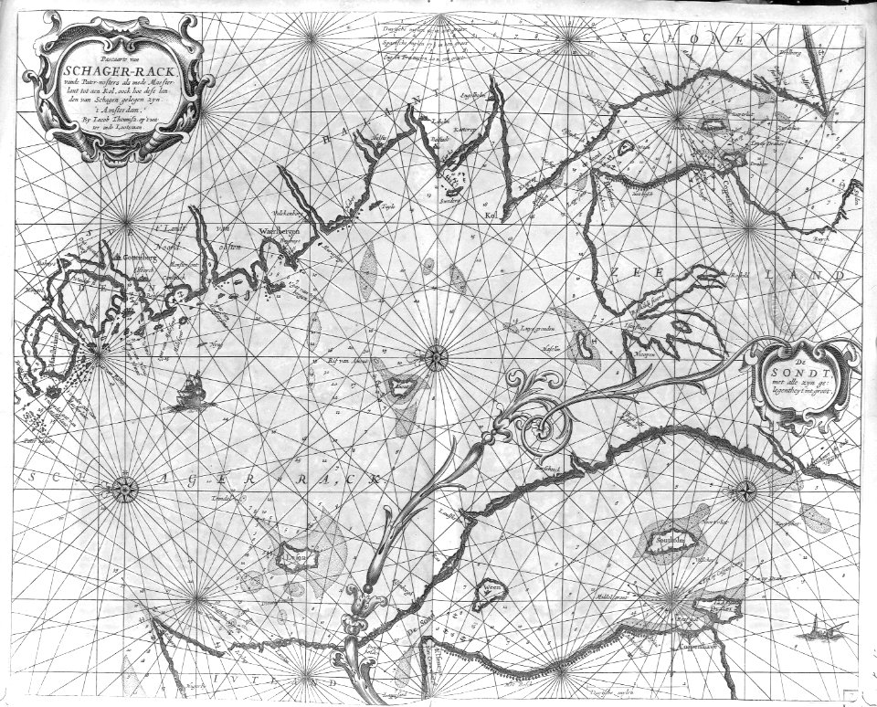
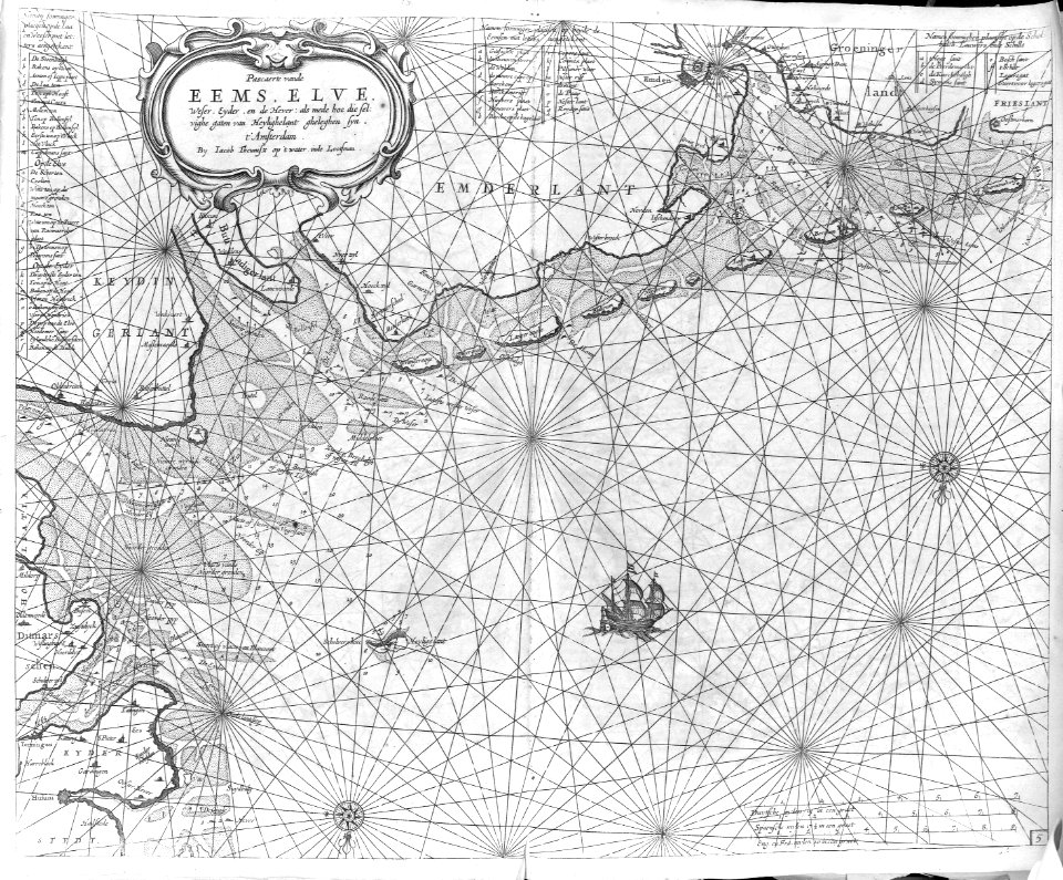
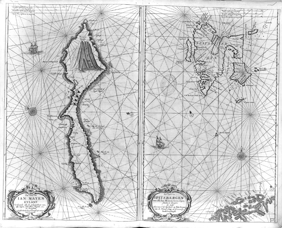
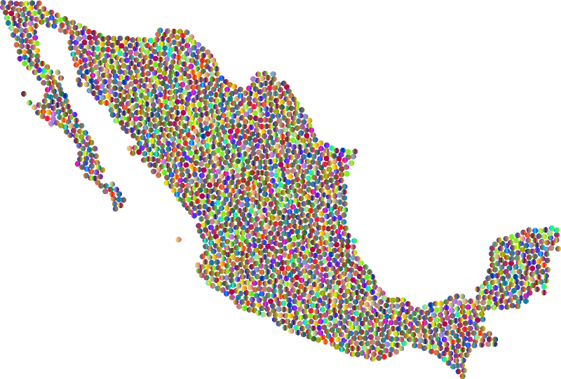
map
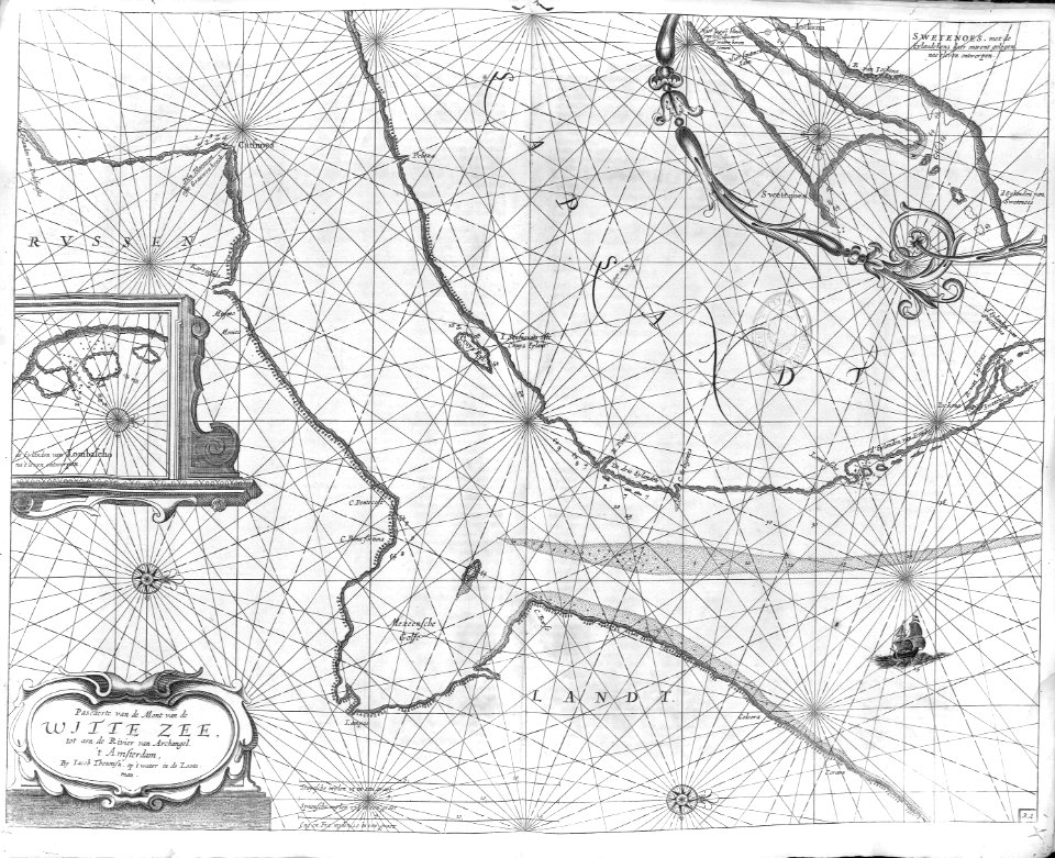
maps
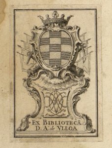
chalcography
fondo antiguo
calcografía
engraving
grabados
cartografía
libros del siglo xvii
17th century books
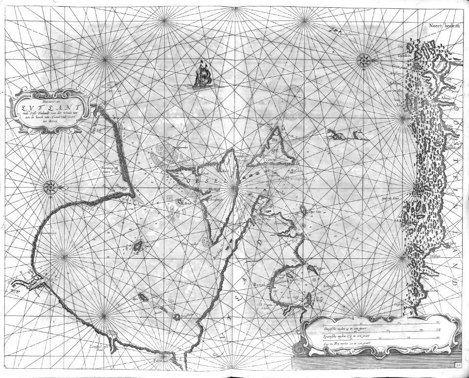
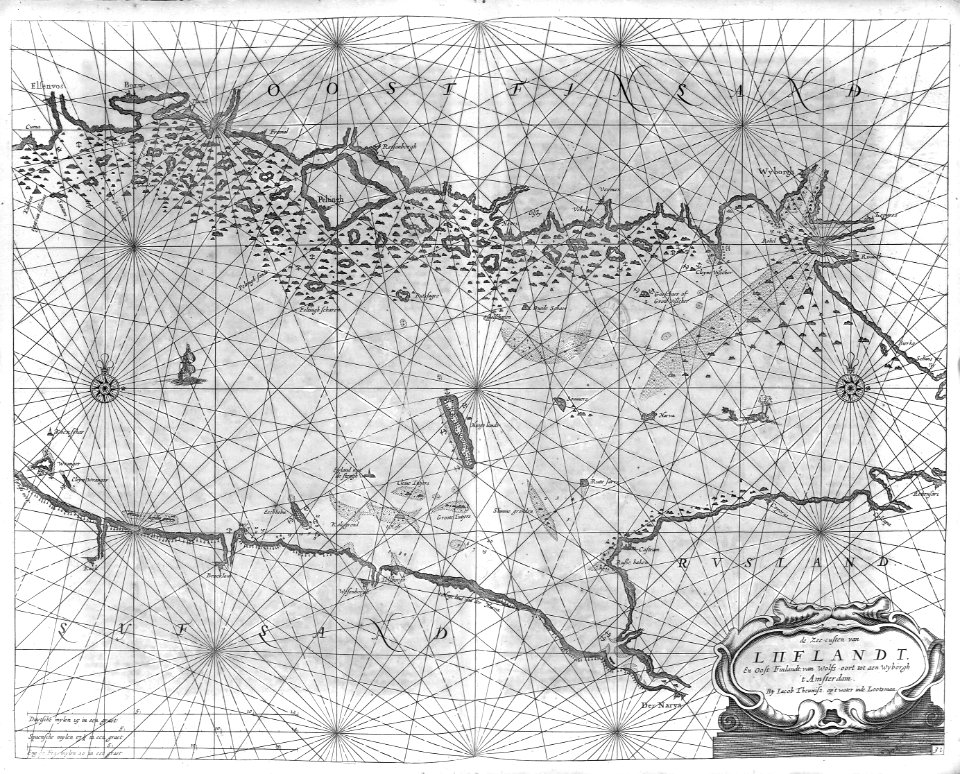
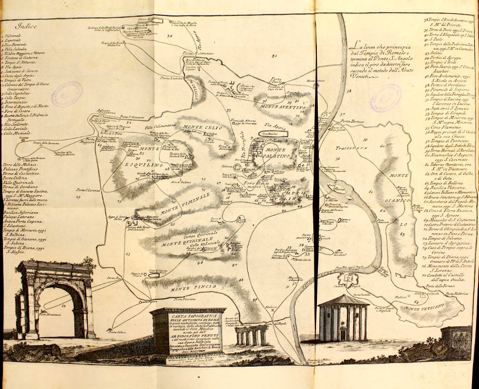
cartography
maps
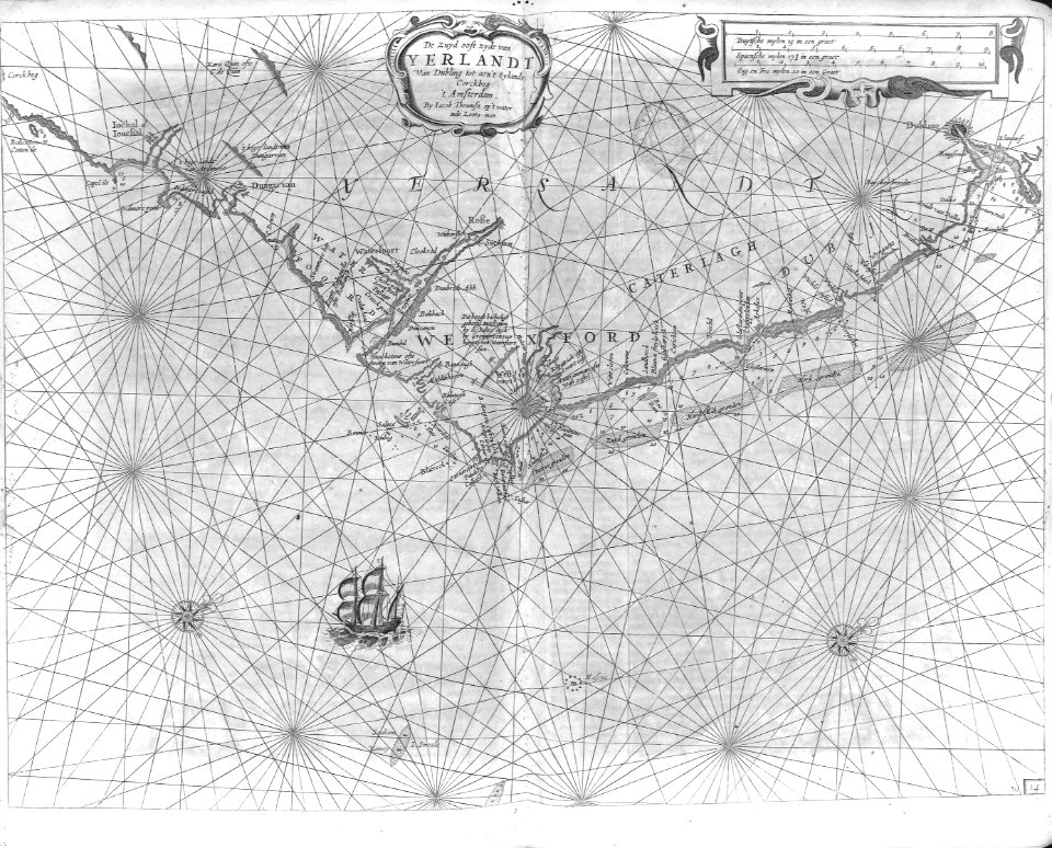
cartography
maps
cartography
maps
cartography
maps
maps
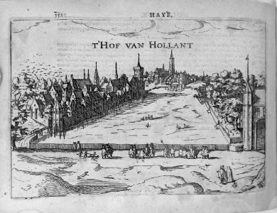
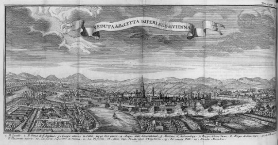
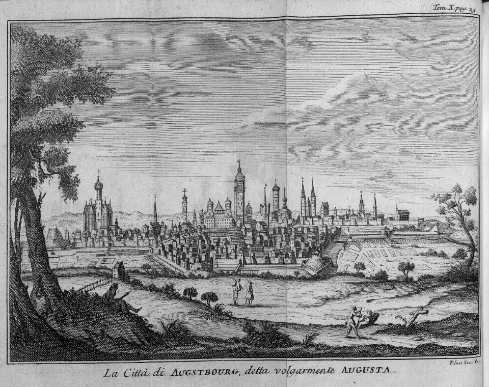
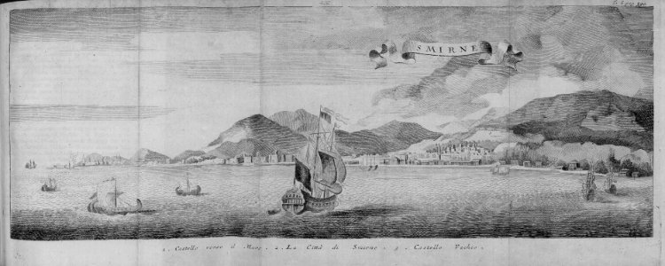
city
cartouche (cartography)
jean-claude dezauche
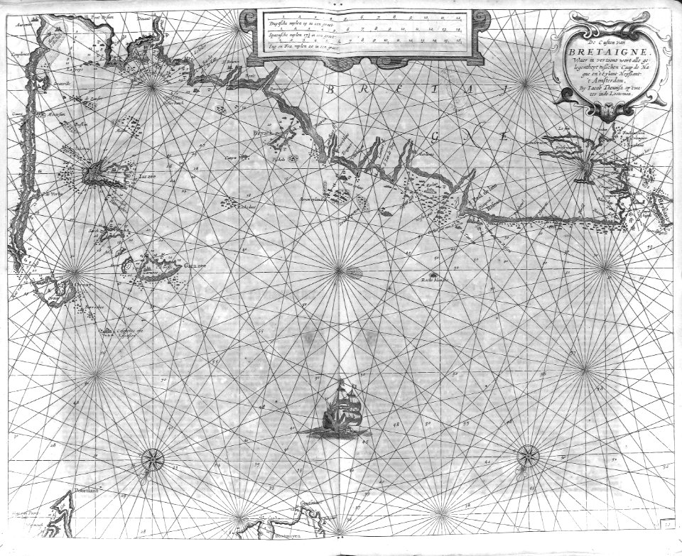
cartography
maps
cartography
maps
cartography
maps
cartography
maps
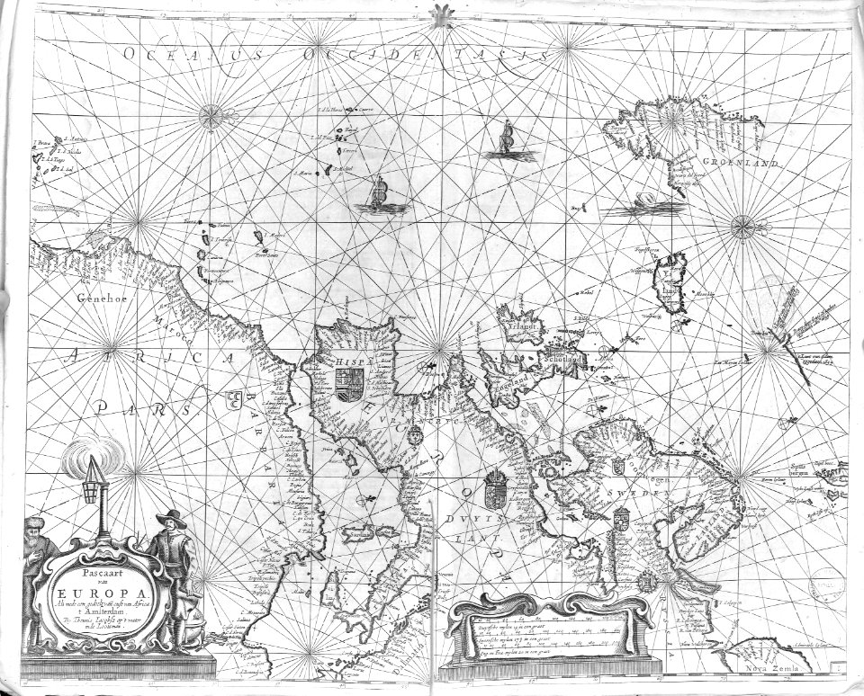
atlas van der hagen (volume 4)
german renaissance
cartography
maps
cartography
maps
cartography
maps
cartography
maps
cartography
maps
cartography
maps
cartography
maps
cartography
maps
cartography
maps
cartography
maps
cartography
maps
cartography
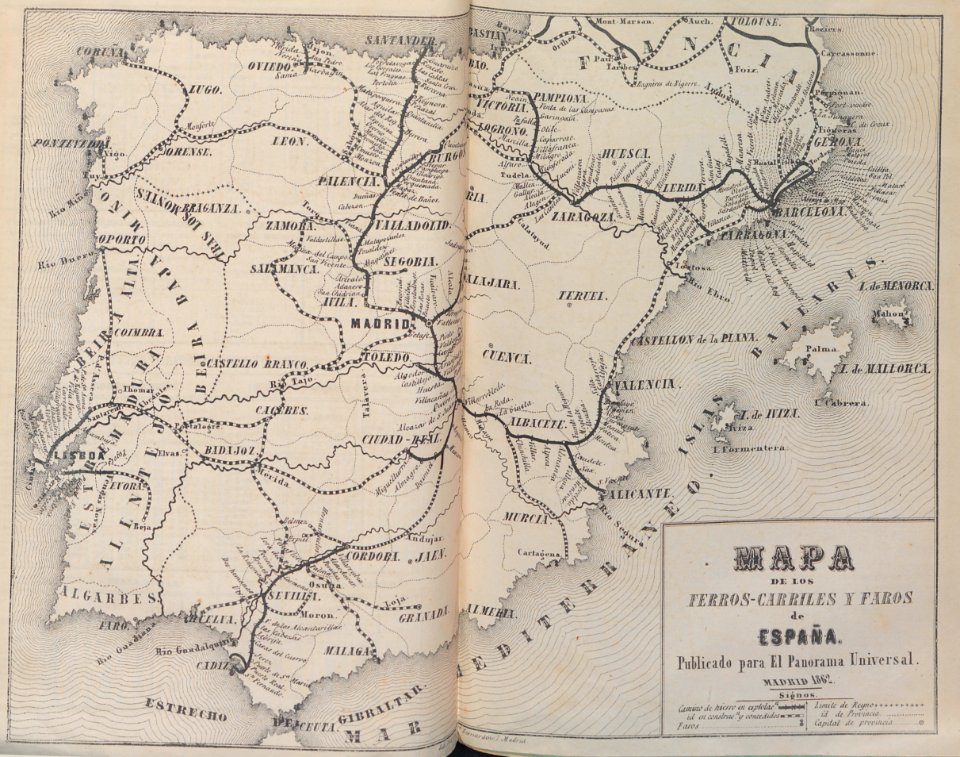
spain
cartography
maps
cartography
maps
pierre alexander tardieu
delaval (surname)
cartography
maps
cartography
maps
cartography
maps
cartography
maps
maps in the british museum
clément-pierre marillier
cartouches by joseph roux
cartouche (cartography)
cartography
maps
cartography
maps
cartography
maps
cartography
maps
cartography
maps
cartography
maps
cartography
maps
cartography
maps
cartouche (cartography)
nicholas tindal
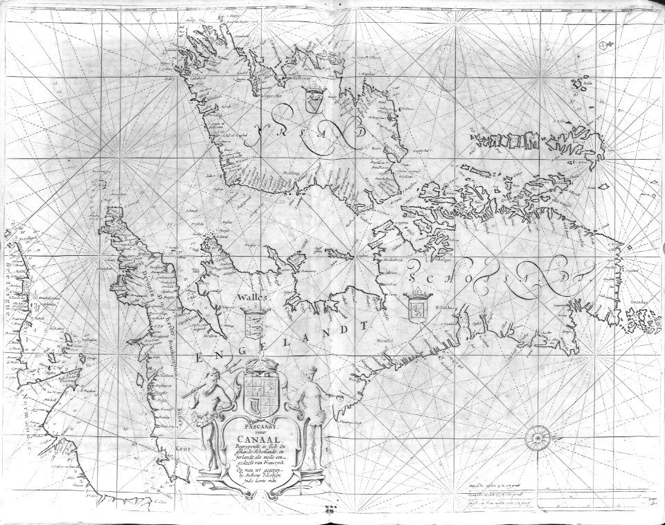
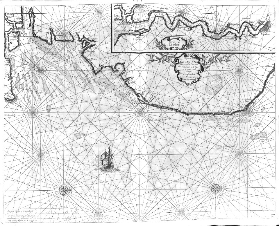
travel
maps
travel
maps
cartography
maps
africa
maps
cartography
maps
cartography
maps
national
maps
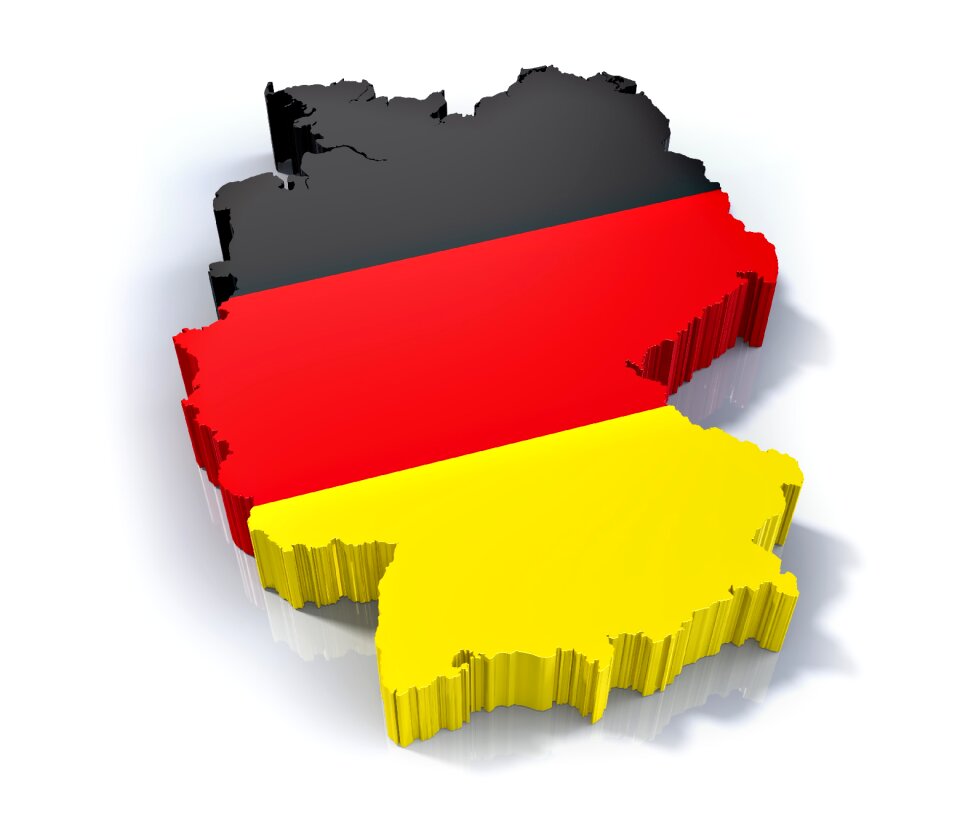
europe
map
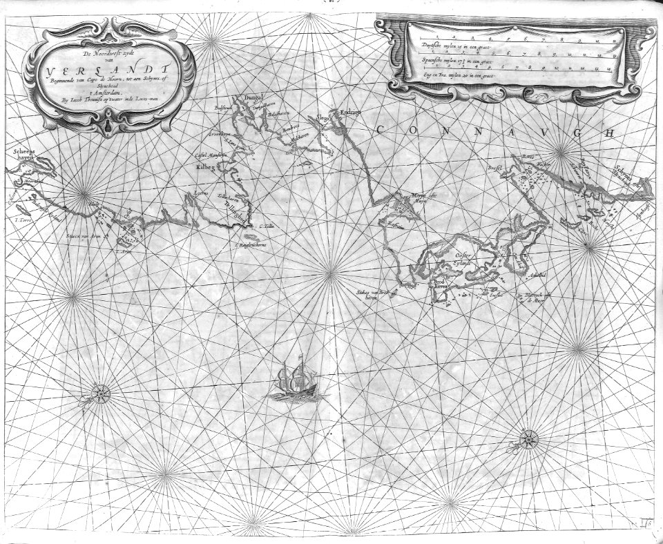
van langren map of southeast asia
1595 maps of asia
cartography
maps
cartography
maps
cartography
maps
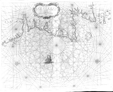
school
maps
maps
usa
maps
sea
travel
book
cartography
maps
cartography
maps
cartography
maps
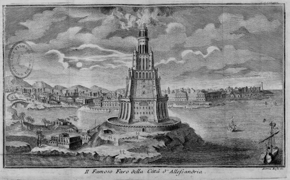
egypt
maps
cartography
maps
cartography
maps
cartography
maps
cartography
maps
maps of the course of the rhine by guillaume sanson
bibliothèque nationale de france
maps of the course of the rhine by guillaume sanson
bibliothèque nationale de france
continent
africa
henricus hondius ii, nova totius terrarum orbis geographica ac hydrographica tabula, 1630
eran laor cartographic collection
henricus hondius ii, nova totius terrarum orbis geographica ac hydrographica tabula, 1630
eran laor cartographic collection
henricus hondius ii, nova totius terrarum orbis geographica ac hydrographica tabula, 1630
eran laor cartographic collection
henricus hondius ii, nova totius terrarum orbis geographica ac hydrographica tabula, 1630
eran laor cartographic collection
henricus hondius ii, nova totius terrarum orbis geographica ac hydrographica tabula, 1630
eran laor cartographic collection
australia
maps
national
maps
national
maps
belize
map
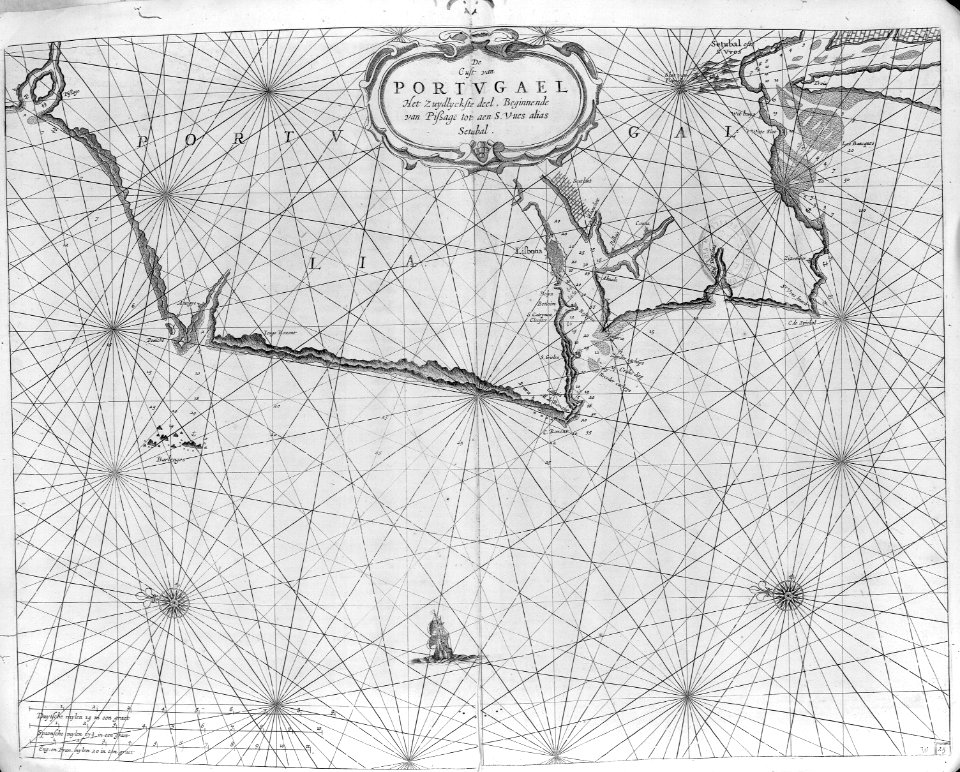
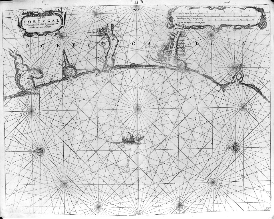
portugal
map
switzerland
map
travel
book
cartouche (cartography)
pierre françois tardieu
maps
sea
national
maps
australia
map
panama
map
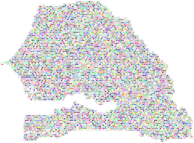
senegal
map
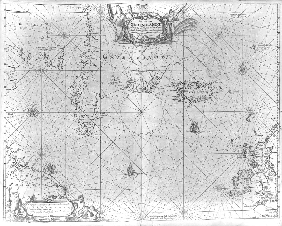
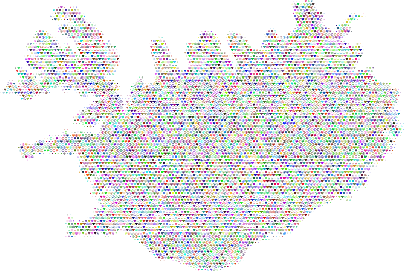
iceland
map
longitude
latitude
cartography
maps
national
maps
national
maps
iraq
map
lithuania
map
seychelles
map
suriname
map
swaziland
map
vanuatu
map
circles
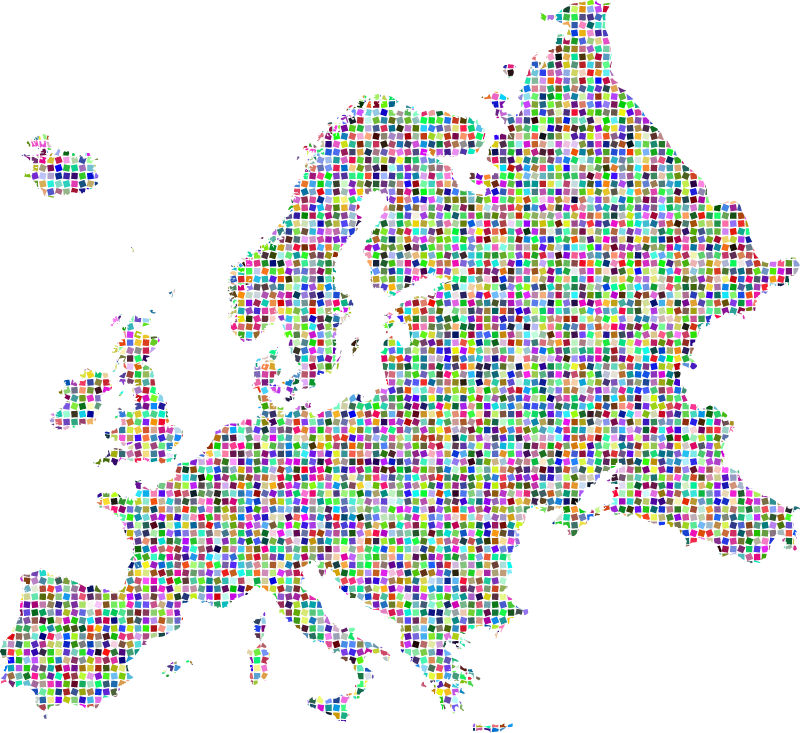
europe
illustration
building
cartography
maps
2201 - 2300 of 2,590
Next page
/ 26